The best mountain hikes around Żywiecki Park Krajobrazowy
4.7
(22)
142
hikers
8
hikes
Mountaineering around Żywiecki Park Krajobrazowy offers diverse and picturesque landscapes along the Polish-Slovak border. The park encompasses the Wielka Racza and Pilsko mountain groups, featuring peaks such as Wielka Racza (1,236 m) and Pilsko (1,557 m). The terrain includes challenging ascents, winding streams, and scenic valleys, providing a varied mountain experience. This region is characterized by its extensive network of trails and numerous mountain huts, making it suitable for various mountaineering skill levels.
Best mountaineering routes around Żywiecki Park Krajobrazowy
…Last updated: October 17, 2026
5.0
(4)
51
hikers
8.83km
03:01
490m
490m
Moderate mountaineering route. Good fitness required. Easily-accessible paths. Suitable for all skill levels.
4.5
(2)
17
hikers
16.6km
05:58
980m
980m
Hard mountaineering route. Very good fitness required. Easily-accessible paths. Suitable for all skill levels.

13
hikers
28.8km
09:12
1,160m
1,160m
Hard mountaineering route. Very good fitness required. Easily-accessible paths. Suitable for all skill levels.
5.0
(2)
3
hikers
9.81km
02:56
300m
300m
Moderate mountaineering route. Good fitness required. Easily-accessible paths. Suitable for all skill levels.
5.0
(2)
7
hikers
21.6km
07:01
900m
900m
Hard mountaineering route. Very good fitness required. Easily-accessible paths. Suitable for all skill levels.
Get access to more routes and recommendations from other explorers.
Already have an account?
Our route recommendations are based on thousands of hikes, rides, and runs completed by other people on komoot.
Start today with a free account
Your next adventure awaits.
Popular around Żywiecki Park Krajobrazowy

Main Beskids Trail — the longest Polish Mountain Trail
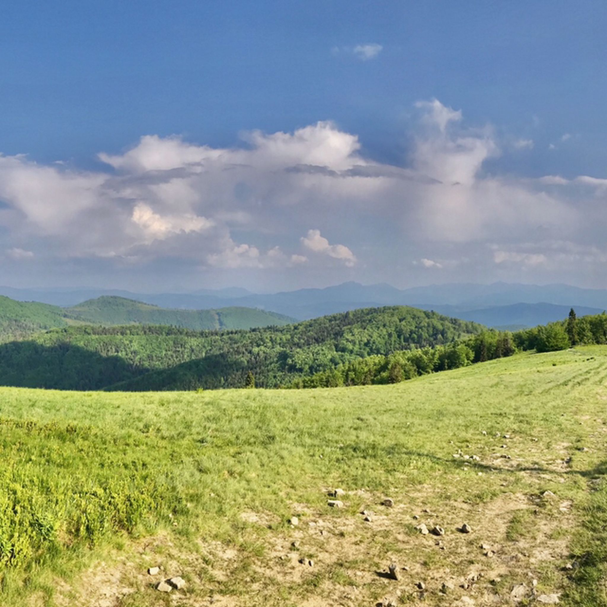
Hiking around Żywiecki Park Krajobrazowy
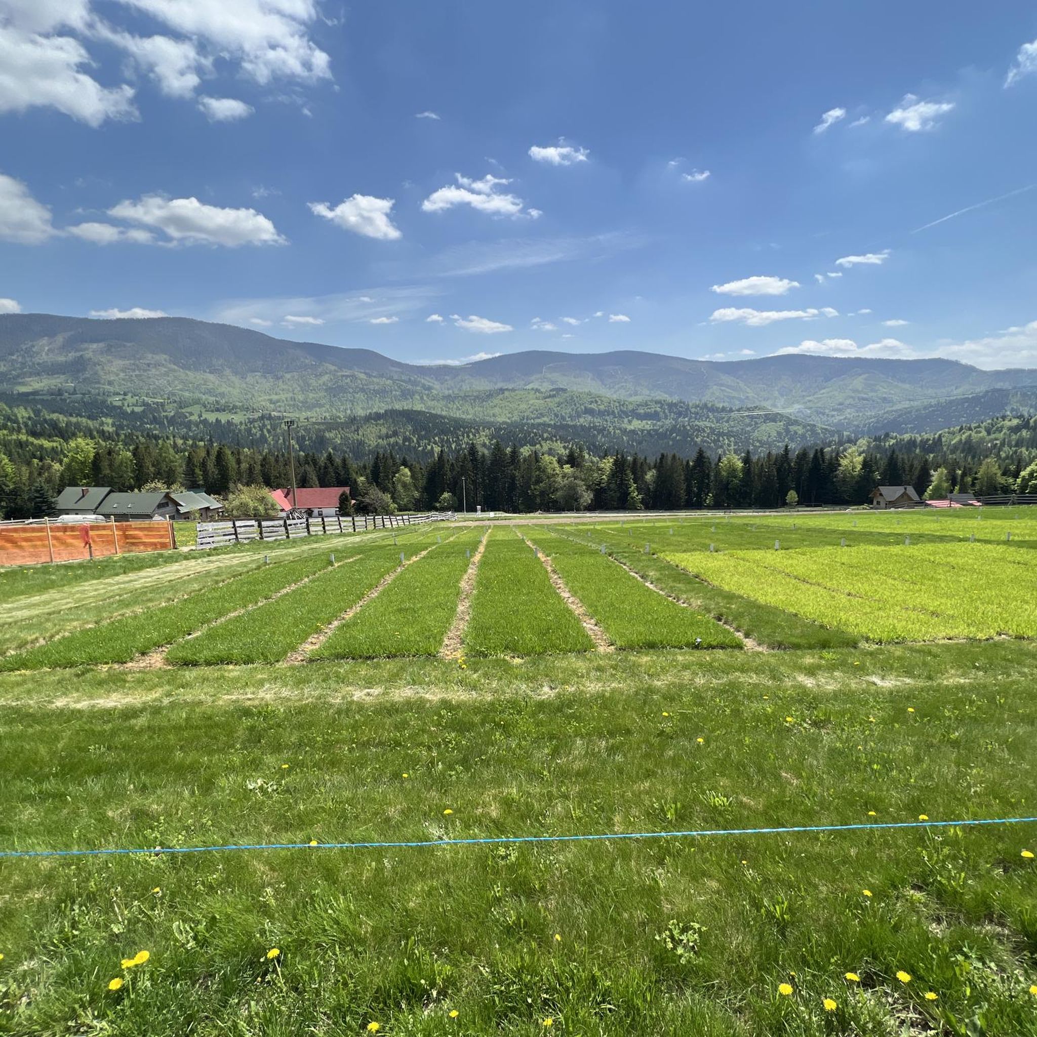
Running Trails around Żywiecki Park Krajobrazowy
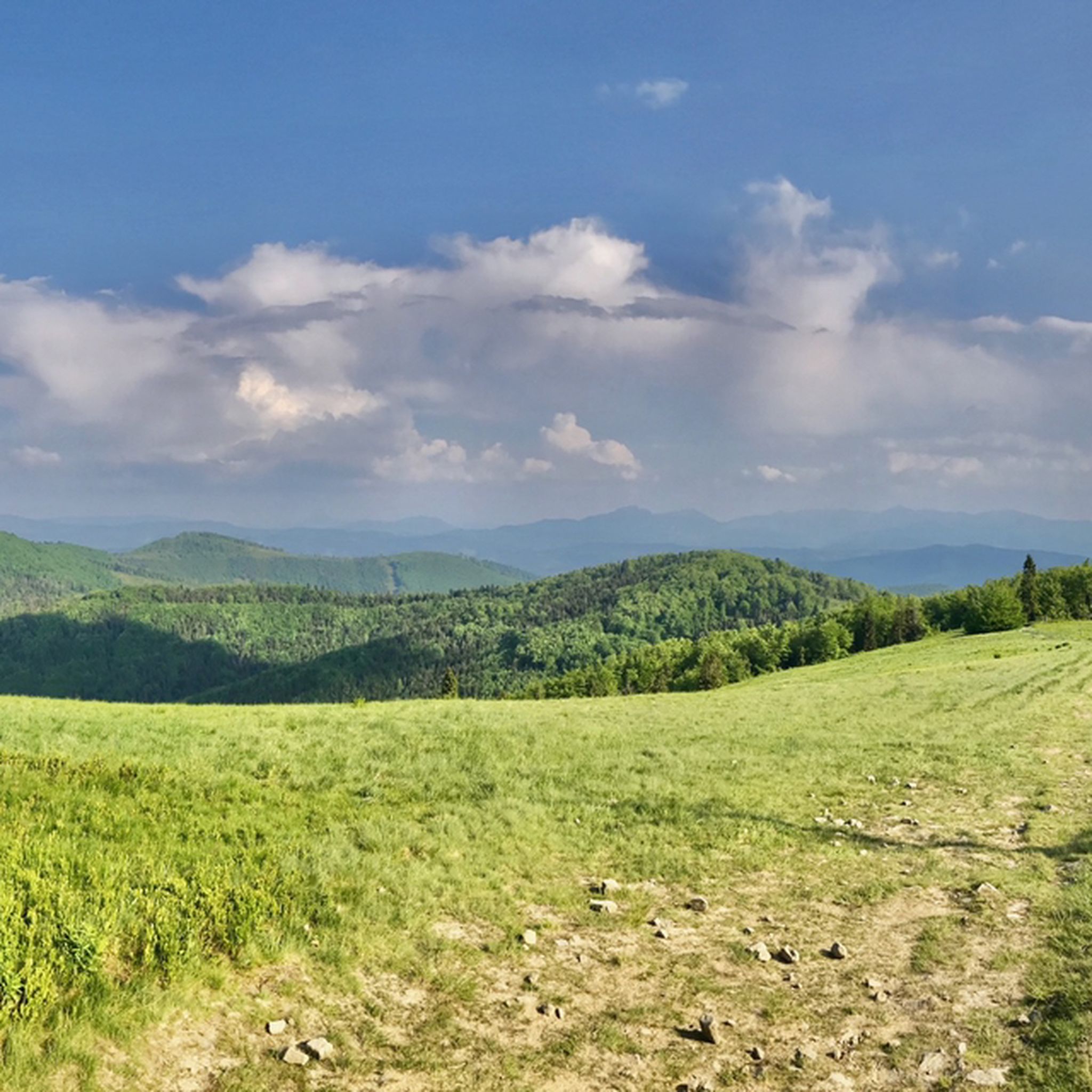
MTB Trails around Żywiecki Park Krajobrazowy
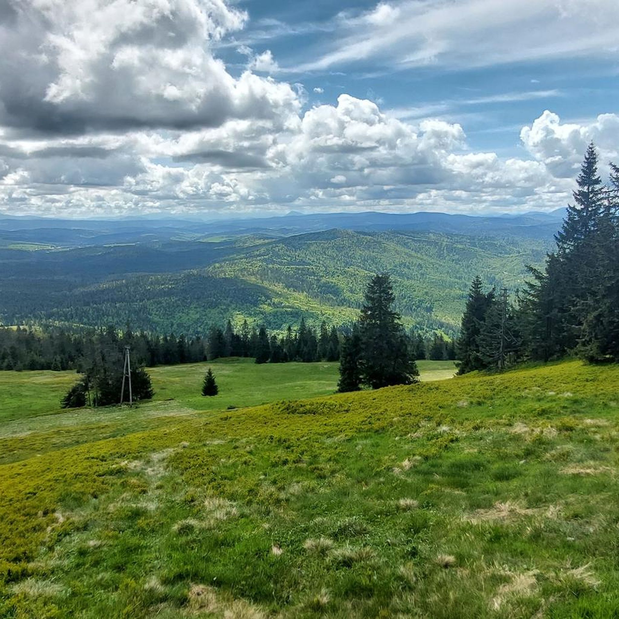
Cycling around Żywiecki Park Krajobrazowy
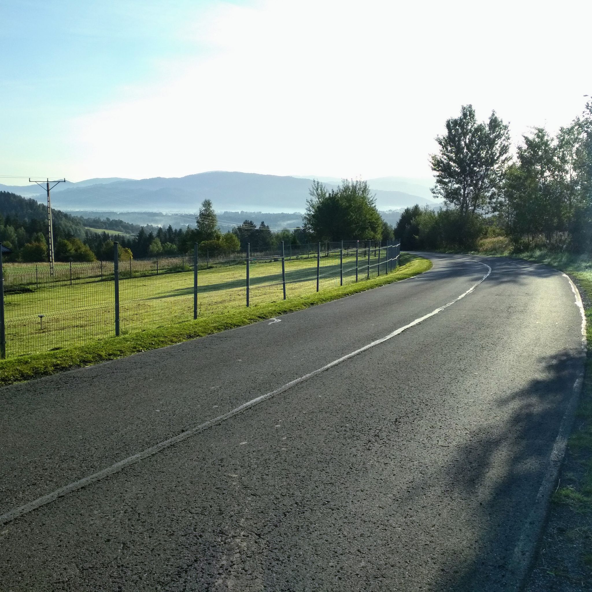
Road Cycling Routes around Żywiecki Park Krajobrazowy

Gravel biking around Żywiecki Park Krajobrazowy
Other adventures around Żywiecki Park Krajobrazowy

Tips from the Community

There is no better place than Kiczera in Beskid Mały
0
0
Great surroundings for walks and cycling.
0
0
The best views in the area on Mount Żar, from where you can descend a few DH trails. I recommend it to all eMTB riders
0
0

During the summer months, and especially on weekends, you can expect a lot of tourists at the summit.
0
0

Beautiful view of the lake. You can hike or take the old mountain railway up. Good catering and lots of activities.
0
0

As of June 2026, the viewing tower is in ruins, with entry prohibited.
0
0

Frequently Asked Questions
What kind of terrain can I expect on mountaineering routes in Żywiecki Park Krajobrazowy?
Mountaineering in Żywiecki Park Krajobrazowy offers a varied experience, from challenging ascents to scenic valleys. The park encompasses two main mountain ranges, the Wielka Racza group and the Pilsko group, featuring peaks like Wielka Racza (1,236 m) and Pilsko (1,557 m). You'll find winding streams, picturesque landscapes, and an extensive network of trails catering to different fitness levels.
Are there any family-friendly mountaineering routes in the park?
While many routes involve significant elevation, some are more accessible. For a moderate option that connects mountain huts, consider the Five Mounds Mountain – Hala Miziowa Mountain Hut loop from Hliny / Przełęcz Glinne. It's 11.7 km long and takes about 4 hours 22 minutes, offering a good balance for families with some hiking experience.
Can I bring my dog on the mountaineering trails in Żywiecki Park Krajobrazowy?
Yes, dogs are generally welcome on trails within Żywiecki Park Krajobrazowy, as it is a landscape park and not a national park with stricter regulations. However, always keep your dog on a leash, especially in areas with wildlife or livestock, and ensure you clean up after them. Check local signage for any specific restrictions on certain paths.
Are there circular mountaineering routes available?
Yes, many routes in the park are designed as loops, allowing you to start and end in the same location. An example is the moderate Schronisko Wielka Racza – Great Rača loop from Rycerka Górna, which is 8.8 km long and offers views of the Wielka Racza group and access to a mountain shelter.
What natural features or landmarks can I see along the routes?
The park is rich in natural beauty. You can encounter winding streams, picturesque valleys, and even a 10-meter waterfall in Sopotnia Wielka. Notable peaks like Wielka Racza and Pilsko offer magnificent panoramic views. You might also visit Hala Rysianka, known for its scenic vistas, or the Wielka Racza Summit itself.
Are there mountain huts for rest and accommodation?
Yes, Żywiecki Park Krajobrazowy has several strategically located mountain huts, providing essential resting spots, food, and accommodation. These include Schronisko Wielka Racza, Rycerzowa, Hala Boracza, Hala Miziowa, and Słowianka above Żabnica. The Przegibek Mountain Hut is another popular stop.
What is the best time of year for mountaineering in Żywiecki Park Krajobrazowy?
The best time for mountaineering is typically from late spring to early autumn (May to October) when the weather is more stable and trails are clear of snow. Summer offers lush greenery and warmer temperatures, while autumn brings vibrant colors. Winter mountaineering is possible, especially around Pilsko, but requires appropriate gear and experience due to snow and ice conditions.
Are there any routes suitable for more experienced mountaineers?
Absolutely. For those seeking a greater challenge, consider the Hala Miziowa Mountain Hut – Five Mounds Mountain loop from Korbielów. This difficult route spans 16.5 km with significant elevation gain, taking over 5 hours to complete. Another demanding option is the Wielka Racza Summit loop from Zwardoń, an 29.1 km trail that can take over 9 hours.
How do other mountaineers rate their experience in Żywiecki Park Krajobrazowy?
The mountaineering routes in Żywiecki Park Krajobrazowy are highly regarded by the komoot community, with an impressive average score of 4.75 stars from over 38 reviews. Many visitors praise the diverse landscapes, well-maintained trails, and the welcoming atmosphere of the mountain huts.
Are there any easier or shorter routes for a quick hike?
Yes, if you're looking for a shorter, moderate option, the Scenic Viewpoint Bench loop from Zwardoń is a good choice. It's about 9.5 km long and takes around 2 hours 50 minutes, offering pleasant views without the intensity of longer ascents.
What are the parking options for trailheads in Żywiecki Park Krajobrazowy?
Parking is generally available near popular trailheads and villages bordering the park, such as Hliny / Przełęcz Glinne, Rycerka Górna, Korbielów, and Zwardoń. Specific parking availability and fees may vary, so it's advisable to check local information for your chosen starting point.
Is public transport available to reach the mountaineering routes?
Public transport options, primarily buses, connect some of the villages and towns around Żywiecki Park Krajobrazowy. Key access points like Zwardoń, Rycerka Górna, and Korbielów can often be reached by public transport, though schedules might be less frequent, especially on weekends or during off-peak seasons. Planning ahead is recommended.
Most popular routes around Żywiecki Park Krajobrazowy
Most popular attractions around Żywiecki Park Krajobrazowy

Get inspired with the komoot mobile app


Explore more
Browse the best Mountain Hikes & Routes in other regions.
