The best road cycling routes around Carrocera
4.4
(8)
977
riders
36
rides
Road cycling around Carrocera, located in the province of León, offers diverse terrain for cyclists. The region features a mix of flatter sections, particularly towards the south, alongside mountainous areas to the north and west, including the foothills of the Picos de Europa. Cyclists can expect well-maintained asphalt roads winding through valleys, forests, and cultivated hills, with significant elevation gains in some areas. The landscape is characterized by varied natural environments, including reservoirs and dramatic gorges.
Best road cycling routes…
Last updated: October 16, 2026
71
riders
75.2km
03:48
1,220m
1,220m
This difficult 46.8-mile road cycling route circles Embalse de los Barrios de Luna, offering stunning mountain views and a challenging ride.
5.0
(2)
35
riders
Moderate road ride. Good fitness required. Some segments of this route may be unpaved and difficult to ride.

5.0
(1)
145
riders
Moderate road ride. Good fitness required. Some segments of this route may be unpaved and difficult to ride.
4.0
(1)
137
riders
Moderate road ride. Good fitness required. Mostly well-paved surfaces and easy to ride.
33
riders
Moderate road ride. Good fitness required. Mostly well-paved surfaces and easy to ride.
Get access to more routes and recommendations from other explorers.
Already have an account?
Our route recommendations are based on thousands of hikes, rides, and runs completed by other people on komoot.
Start today with a free account
Your next adventure awaits.
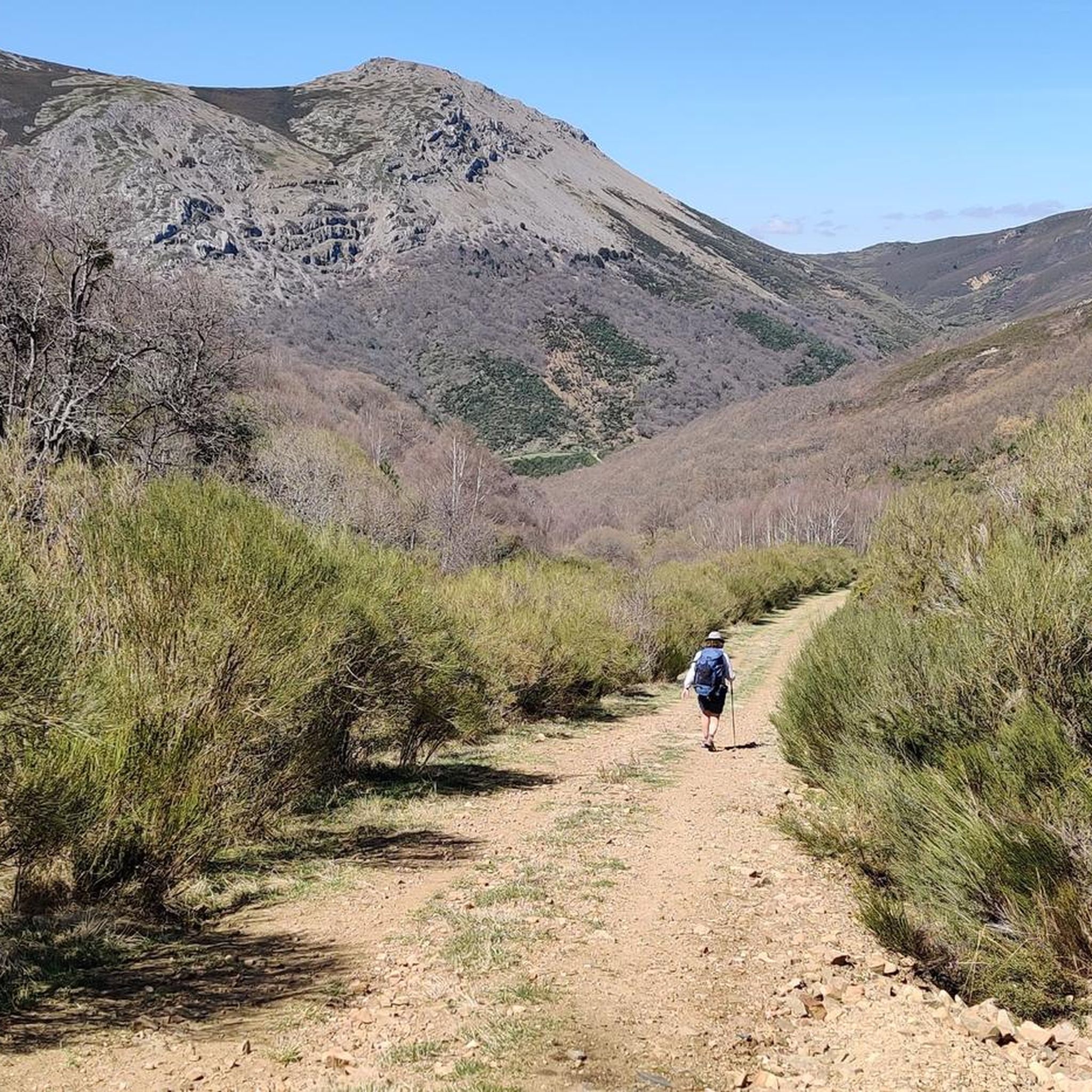
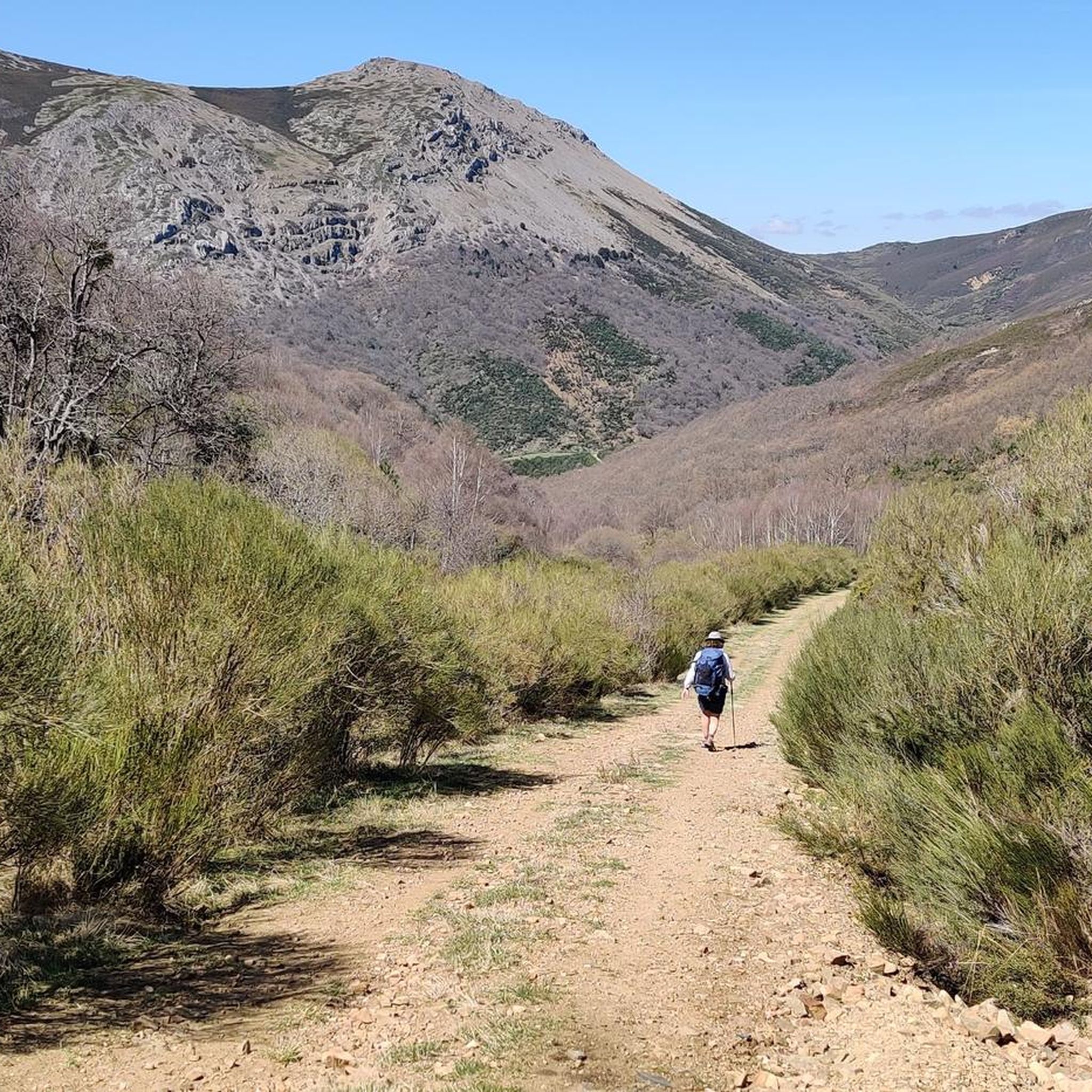
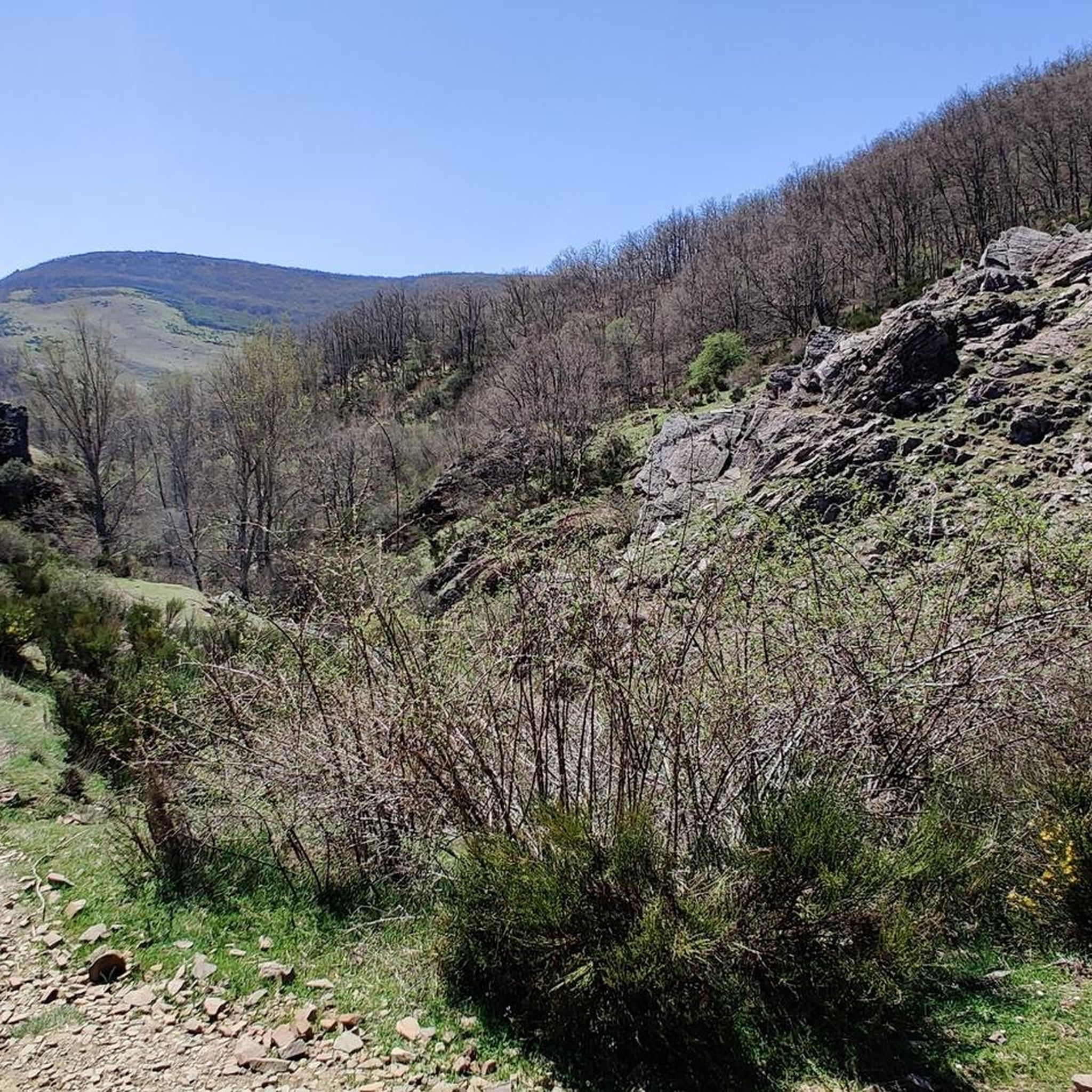
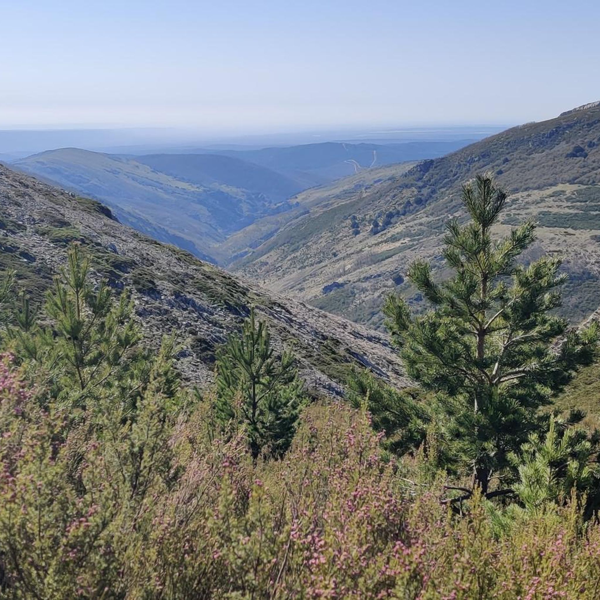
Tips from the Community

Built in the 18th century, following the style of the Leonese Baroque. Inside, the altarpiece features the image of Our Lady of Good Success.
0
0

La Collada de la Vid is a mountain pass located in the La Vid de Gordón area of León, Spain. It connects several villages and is part of historical and hiking trails in the area. Main features: • La Collada de la Vid is located near towns such as Buiza and Villasimpliz, and is part of traditional routes such as the Camino Real and the Northern Route of the Camino de Santiago to San Salvador de Oviedo. • In this area is the Hermitage of San Lorenzo, of historical and cultural significance, which opens its doors on August 10th for a pilgrimage. • The Las Colladas route from La Vid de Gordón is of medium difficulty, with a distance of approximately 12 km and an estimated time of 4 hours. • La Collada Villar, near La Vid, is a mountain pass with an ascent of about 3.3 km and an average gradient of about 7%, also used for cycling and hiking activities.
1
0
The Collada de Cármenes is a mountain pass located in the province of León, in the north-central area, near the town of Cármenes. Access and Routes • It can be ascended from two main slopes: • From Cármenes: 3.5 km route, with a vertical drop of 185 m and an average gradient of 5.24%. Maximum altitude: 1,337 m. • From Villamanín: 4.9 km route, a vertical drop of 200 m and an average gradient of 4.12%. Maximum altitude: 1,337 m
0
0
The Vegacervera Gorges are a protected natural area in the north of the province of León, Castile and León, Spain, near Asturias. • It is an impressive canyon carved by the Torío River, with limestone walls that exceed 100 meters in height and, in some sections, barely 15 meters wide. • The area encompasses municipalities such as Vegacervera, Cármenes, Matallana de Torío, and Valdepiélago.
0
0


Alfa Zone in La Robla, an amazing place with very nice descents for any level, preferably when it's not too hot.
1
0

Cultural and Religious Heritage: La Pola de Gordón has a number of historic churches and chapels, such as the Iglesia Nuestra Señora del Buen Suceso and the Ermita de Nuestra Señora de Celada, which are worth a visit for their architecture and history.
4
0

Geologists group sedimented rocks into units called "formations", these are groups of rocks with a specific age and characteristics that can be recognized in the field and, therefore, represented on a geological map. Every formation has a reference outcrop, as representative and accessible as possible, known as a "stratotype." The stratotype of the La Vid Group is located in La Vid de Gordón, a set of four formations from the Devonian period that are named Felmin, La Pedrosa, Val Porquero and Coladilla. Each of them presents different types of rocks, as were the conditions in which they were formed. A tour of this stratotype. It allows us to verify that the Paleozoic seas were changing, due to the evidence that these changes have left in the rocks.
1
0
Frequently Asked Questions
How many road cycling routes are available around Carrocera?
There are over 25 road cycling routes around Carrocera. These include 18 moderate routes and 11 difficult routes, offering a wide range of options for different skill levels.
What kind of terrain can I expect when road cycling near Carrocera?
Road cycling around Carrocera offers diverse terrain. You'll find a mix of flatter sections, especially towards the south, alongside more mountainous areas to the north and west, including the foothills of the Picos de Europa. Expect well-maintained asphalt roads winding through valleys, forests, and cultivated hills, with significant elevation gains on some routes.
Are there challenging road cycling routes in Carrocera?
Yes, Carrocera offers several challenging road cycling routes. For instance, the Barrios de Luna Reservoir and La Robla Loop is a difficult 46.8-mile (75.2 km) route featuring demanding climbs and scenic views around the Embalse Barrios de Luna.
What natural features or landmarks can I see along road cycling routes in Carrocera?
Many routes offer stunning natural scenery and points of interest. You might encounter the dramatic Los Calderones Gorge, the serene Barrios de Luna Reservoir, or even the beautiful Waterfall of the Arroyo de los Calderones. The region is also known for its mountain passes like Alto de la Camparona.
Are there circular road cycling routes available in Carrocera?
Yes, several popular routes are circular. A great option is the Riello from Embalse de Selga de Ordás – circular by Carrizo de la Ribera and Tapia de la Ribera, which traverses scenic countryside and local villages. Another is the Villadalte – Embalse de Selga de Ordás loop from Embalse de Selga de Ordás, leading through cultivated hills.
What do other road cyclists enjoy most about road cycling in Carrocera?
The area is highly rated by the komoot community, with an average score of 4.4 stars from 8 reviews. Cyclists often praise the varied terrain, from quiet valley roads to challenging mountain ascents, and the beautiful natural landscapes, including reservoirs and forests.
Are there any routes that pass through traditional Spanish villages?
Yes, many routes offer cultural immersion by passing through charming local villages. The Riello from Embalse de Selga de Ordás – circular by Carrizo de la Ribera and Tapia de la Ribera route is a good example, allowing you to experience the local atmosphere.
Can I find routes with significant elevation gains for training?
Absolutely. The mountainous areas to the north and west of Carrocera, including the foothills of the Picos de Europa, feature significant elevation gains. Routes like the Barrios de Luna Reservoir and La Robla Loop offer over 1200 meters of ascent, ideal for challenging training rides.
What is the best time of year to go road cycling in Carrocera?
While specific seasonal conditions are not detailed, the region's diverse terrain suggests that spring and autumn would likely offer pleasant temperatures and vibrant scenery. Summer can be warm, especially in flatter areas, while mountainous sections might be cooler. Always check local weather forecasts before heading out.
Are there any historical sites or religious buildings along the routes?
Yes, the region is rich in history and culture. You might come across sites like the Hermitage of the Virgin of Manadero in the Cave of the Doves, offering a glimpse into the local heritage and spiritual significance.
Are there any less trafficked roads for a more peaceful cycling experience?
Many of the well-maintained asphalt roads in the Carrocera area are less trafficked, especially when avoiding major national routes. This allows for a more tranquil and immersive cycling experience through the valleys, forests, and cultivated hills.
Most popular attractions around Carrocera

Get inspired with the komoot mobile app


Explore more
Browse the best Road cycling routes in other regions.
