The 20 Most Amazing Peaks around Benifairó De La Valldigna
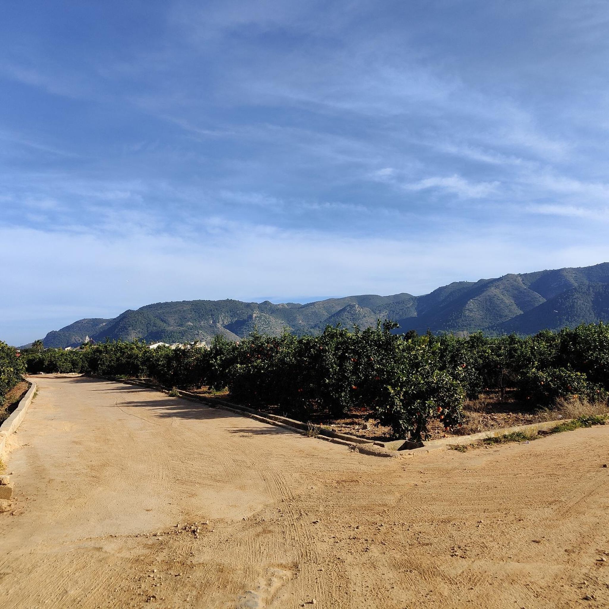
Best mountain peaks around Benifairó De La Valldigna are situated within a municipality known for its natural landscapes. The area features pine-covered mountains, fertile valleys, and well-marked hiking trails. It offers a mix of challenging hikes and scenic walks, providing rich natural beauty and historical context for outdoor enthusiasts. This region serves as an excellent base for exploring various mountain environments.
Best mountain peaks around Benifairó De La Valldigna
- The most popular mountain peaks is Mondúver summit, a summit…
Last updated: July 7, 2026
Mondúver summit
Highlight • Summit
Translated by Google •
Tip by

L'Ouet
Highlight • Summit
Translated by Google •
Tip by

Sign up now to discover places like this
Get recommendations on the best single tracks, peaks, & plenty of other exciting outdoor places.
Sign up for free
Creu del Cardenal
Highlight • Summit
Translated by Google •
Tip by
La Ratlla
Highlight • Summit
Translated by Google •
Tip by
L'Esquellot on the Penyal de Ferragut
Highlight • Summit
Translated by Google •
Tip by

Sign up for free to discover even more peaks around Benifairó De La Valldigna.
Sign up for free
Already have an account?
Start today with a free account
Your next adventure awaits.
Login or Signup
Popular around Benifairó De La Valldigna

Tips from the Community

L'Ouet is a peak in the Sierra de Corberá, near Alzira. It is a popular destination for hiking enthusiasts due to its stunning panoramic views and natural surroundings. The route to L'Ouet is quite accessible and well signposted, making it suitable for hikers of different levels.
3
0

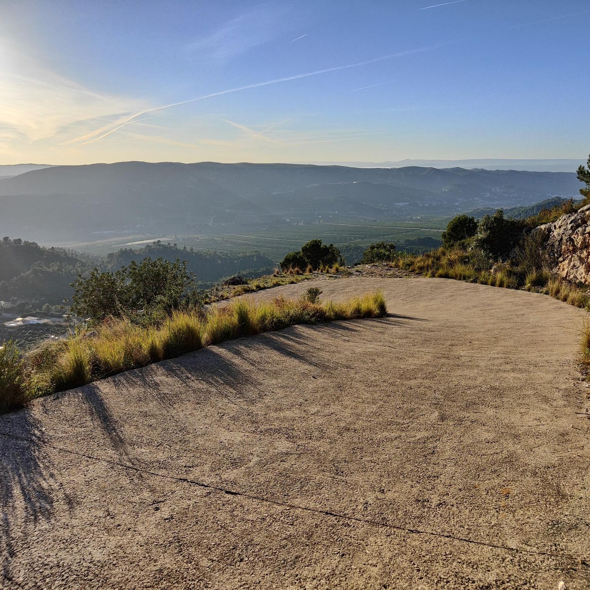
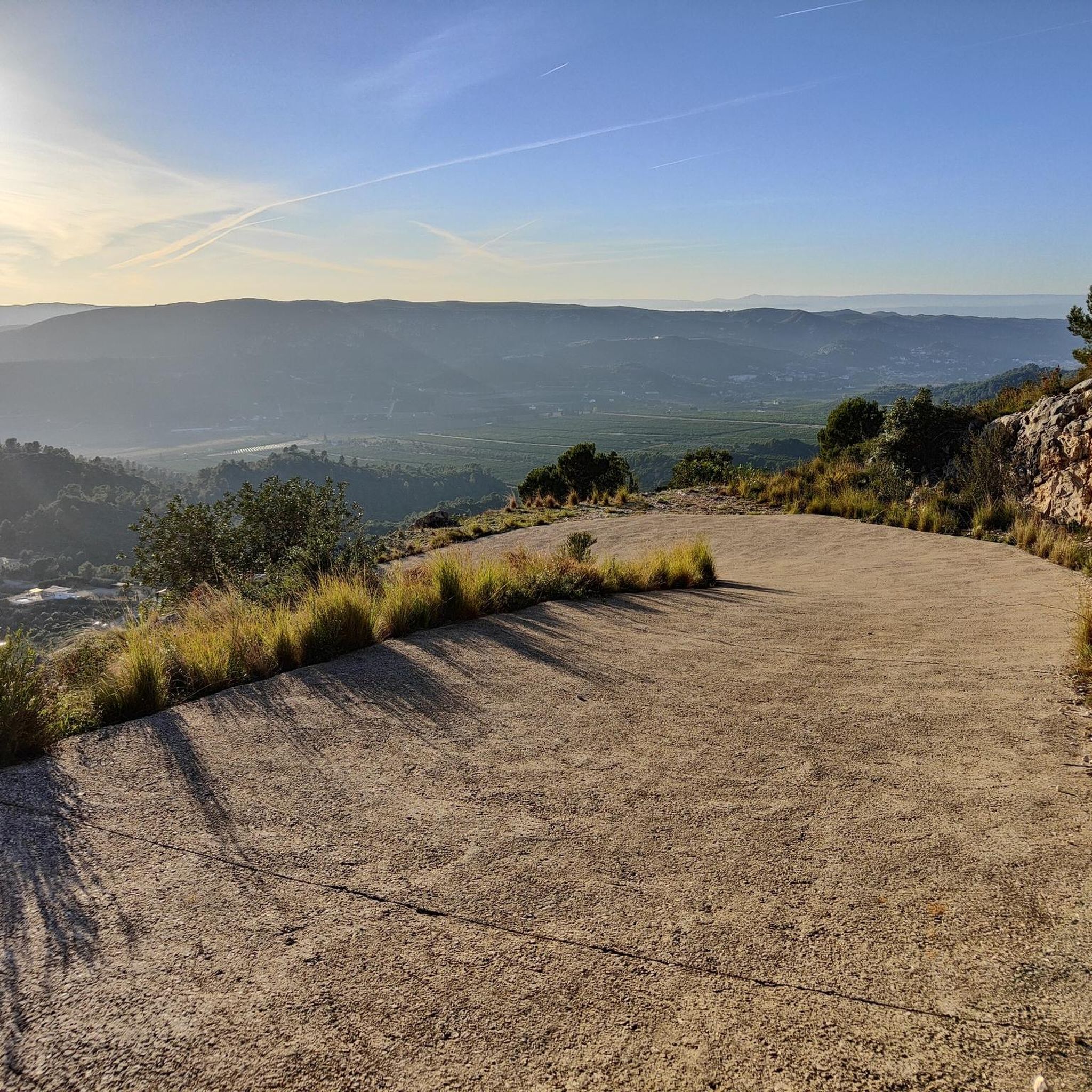
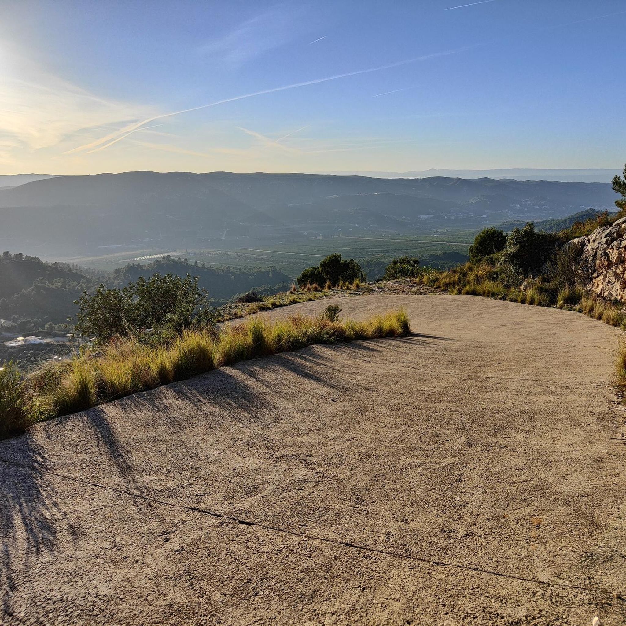
significant advantage of this route is that you can choose the difficulty of the conditions of ascent or descent. An asphalt road leads directly to the top.
2
0

L'Esquellot, in Spanish the cowbell, is located at the top of the Ferragut Rock. We can get there by two paths from behind the Safor service area, next to the BP gas station on the E-15 at the height of Xeraco. L'Esquellot is located there thanks to a challenge that the Xeraco mountain club (Club Muntanyer Xeraco) once placed, to encourage people to climb the mountain and ring the bell. From this point we have magnificent views of the sea, we can also see the town of Xeraco, the Vaca River that flows towards the sea, and the Guaita de Xeraco tower.
4
0
From the top of La Creu the views are spectacular wherever you look.
11
0

From Favara through the Barranco de Infierno. Classified as dangerous according to Komoot, which is not true. Very interesting prospects for La Mola. A safety cable is stretched across the rock face. Climb up the last bit. Extensive views over the coast from the Montgo to Valencia. View of L'Ouet.
0
1
On route PR-V 153. El Cim del Mondúver from Xeresa.
11
0

A great hiking area. Check out the area and my hike in the video: https://youtu.be/jKT0SaA3j6g
2
0
Frequently Asked Questions
What are some notable mountain ranges and peaks around Benifairó de la Valldigna?
Benifairó de la Valldigna is surrounded by impressive natural landscapes. Key ranges include the Serra de les Agulles, known for its distinctive rocky 'needles' and karst formations, and the Serra de Corbera, which includes peaks like L'Ouet. The prominent Mondúver summit is also a significant landmark in the nearby region, offering extraordinary panoramic views.
Which mountain peaks offer the best panoramic views?
For breathtaking vistas, the Mondúver summit is highly recommended, providing 360-degree views of the mountains of La Safor, the villages of La Marxuquera, and the Gulf of Valencia's coast. Creu del Cardenal also offers spectacular views towards La Ribera Baja and the Levantine coast. Additionally, L'Ouet and La Ratlla provide beautiful panoramic views of the surrounding valleys and coastline.
What kind of terrain can I expect on the mountain trails around Benifairó de la Valldigna?
The terrain varies from well-marked paths to rugged sections. The Serra de les Agulles features varied terrain with some steep sections and karst formations. Ascents to peaks like Mondúver summit can be challenging with sustained steep inclines and ramps exceeding 20%. Routes to L'Ouet are generally accessible and well-signposted, though some paths may have loose rock or stone.
Are there any accessible or easy mountain peaks for beginners or families?
Yes, the route to L'Ouet in the Serra de Corbera is considered accessible and well-signposted, making it suitable for hikers of various skill levels, including those seeking a less technical climb. The Serra de Corbera generally offers routes that cater to different abilities.
What unique natural features can be found in the Serra de les Agulles?
The Serra de les Agulles, whose name means 'Saw of the Needles,' is renowned for its distinctive rocky 'needles' and abundant karst formations, resulting from its Jurassic-Cretaceous limestone composition. The range also features numerous springs and the Cueva de les Maledetes, a cave known for its striking limestone formations, located at the foot of the Pico de las Águilas.
What outdoor activities can I do near these mountain peaks?
The region offers a variety of outdoor activities. You can explore numerous hiking trails, with options ranging from easy to difficult, such as the 'Ermita Santa Anna y la Fontarda' loop or the challenging 'Penyalba Loop'. Road cycling is also popular, with routes like the 'Cullera to Dénia – Playa de Gandía loop'. For runners, trails like the 'La Ratlla loop' provide excellent opportunities. You can find more details on these activities in the Hiking, Road Cycling, and Running guides for Benifairó de la Valldigna.
What is the best time of year to visit the mountain peaks around Benifairó de la Valldigna?
The region is characterized by a Mediterranean climate. While specific best times aren't detailed, the presence of pine-covered mountains and fertile valleys suggests pleasant conditions for outdoor activities during spring and autumn, avoiding the intense heat of summer. Winter can also be suitable for hiking due to milder temperatures.
Are the mountain trails around Benifairó de la Valldigna dog-friendly?
While specific regulations for dog access on all trails are not provided, many natural areas in Spain are generally welcoming to dogs on leash. It's always advisable to check local signage or specific trail information for any restrictions before heading out with your dog.
Where can I find parking for mountain trails in the area?
Parking availability can vary by specific trailhead. For popular spots like Mondúver summit, access points from towns like Tavernes de la Valldigna and Xeresa are common. For other trails, parking is often available near starting points in villages or designated recreational areas. It's recommended to research the specific trailhead you plan to use for precise parking information.
What makes Mondúver summit a popular destination for hikers?
The Mondúver summit is popular due to its challenging ascent and the incredibly rewarding panoramic views it offers from its 841-meter elevation. Hikers are treated to expansive vistas of the mountains of La Safor, the villages of La Marxuquera, and the Gulf of Valencia's coast. At the summit, there's also a telecommunications station and a former fire surveillance observatory, adding to its unique character.
Are there any historical elements to discover near the mountain peaks?
Yes, the Serra de Requena / Serra de la Corsa area, near Barxeta, features historical elements such as old quarries of marble and granite. Additionally, the former fire surveillance observatory at the L'Ouet summit offers a glimpse into the region's past uses of its high points.
What do visitors particularly enjoy about the mountain peaks in this region?
Visitors frequently praise the stunning panoramic views from various summits, the diverse and rugged natural beauty, and the tranquility of the locations. The effort required for challenging climbs is often highlighted as being well-rewarded by the expansive vistas. The variety of terrain, from distinctive rocky formations to pine-covered slopes, also contributes to a rich outdoor experience.
Most popular routes around Benifairó De La Valldigna
Most popular attractions around Benifairó De La Valldigna

Get inspired with the komoot mobile app


Explore more
See even more amazing summits around Benifairó De La Valldigna with these guides:
