Oberes Lenninger Tal mit Seitentälern
Oberes Lenninger Tal mit Seitentälern
The best cycling routes around Oberes Lenninger Tal mit Seitentälern
4.5
(3461)
20,554
riders
341
rides
Touring cycling around Oberes Lenninger Tal mit Seitentälern traverses a diverse landscape within the Swabian Alb, characterized by deep valleys, expansive plateaus, and rich deciduous forests. The region features a unique karst topography with numerous springs and impressive rock formations, offering varied terrain for cyclists. Routes often follow river valleys like the Lauter, while others ascend to the Alb plateau, providing panoramic views over the valley and the Albtrauf escarpment.
Best touring cycling routes around Oberes Lenninger Tal mit Seitentälern
…Last updated: July 12, 2026
4.7
(114)
502
riders
Moderate bike ride. Good fitness required. Mostly paved surfaces. Suitable for all skill levels.
4.1
(14)
74
riders
Moderate bike ride. Good fitness required. Mostly paved surfaces. Suitable for all skill levels.

Sign up for free
4.5
(8)
63
riders
Moderate bike ride. Good fitness required. Mostly paved surfaces. Suitable for all skill levels.
5.0
(4)
57
riders
Moderate bike ride. Good fitness required. Mostly paved surfaces. Suitable for all skill levels.
5.0
(2)
44
riders
Easy bike ride. Great for any fitness level. Mostly paved surfaces. Suitable for all skill levels.
Get access to more routes and recommendations from other explorers.
Sign up for free
Already have an account?
Our route recommendations are based on thousands of hikes, rides, and runs completed by other people on komoot.
Start today with a free account
Your next adventure awaits.
Login or Signup
Popular around Oberes Lenninger Tal mit Seitentälern
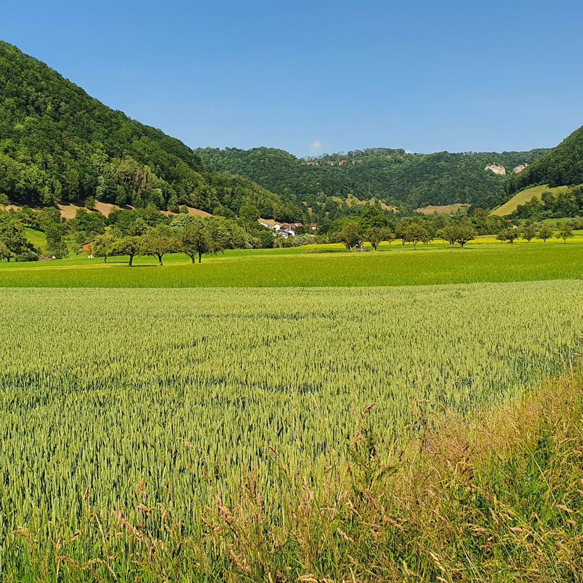
Hiking around Oberes Lenninger Tal mit Seitentälern
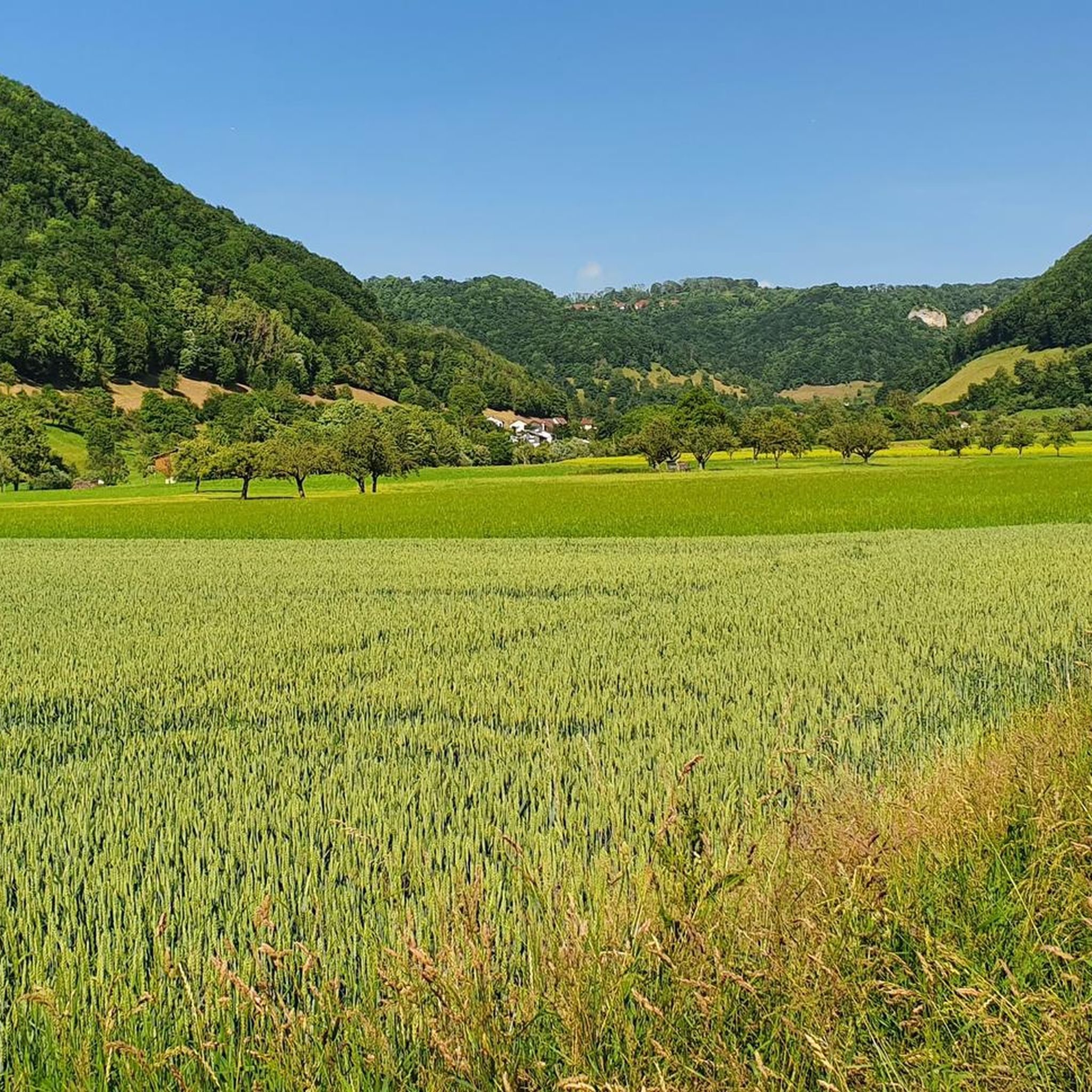
Road Cycling Routes around Oberes Lenninger Tal mit Seitentälern
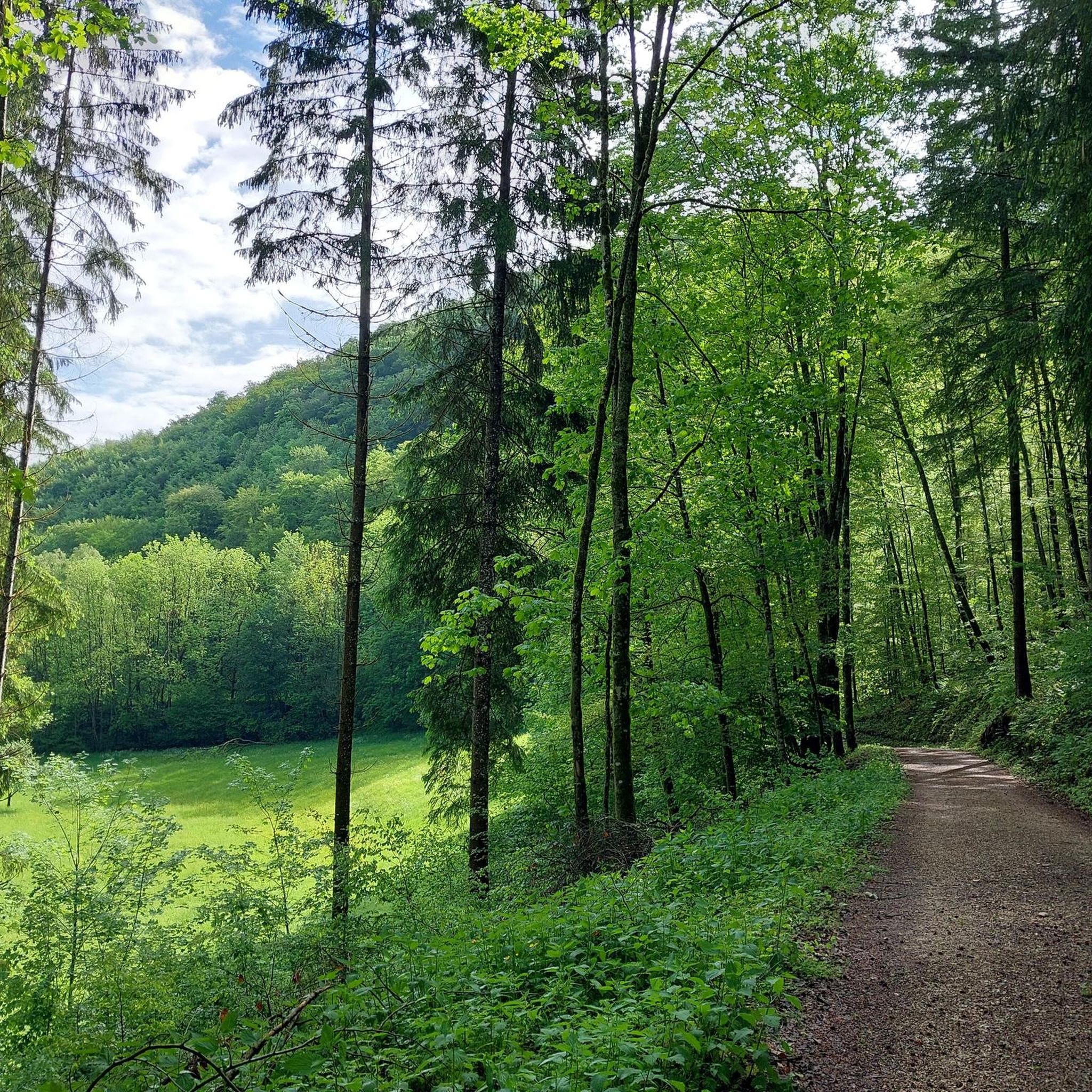
MTB Trails around Oberes Lenninger Tal mit Seitentälern

Gravel biking around Oberes Lenninger Tal mit Seitentälern
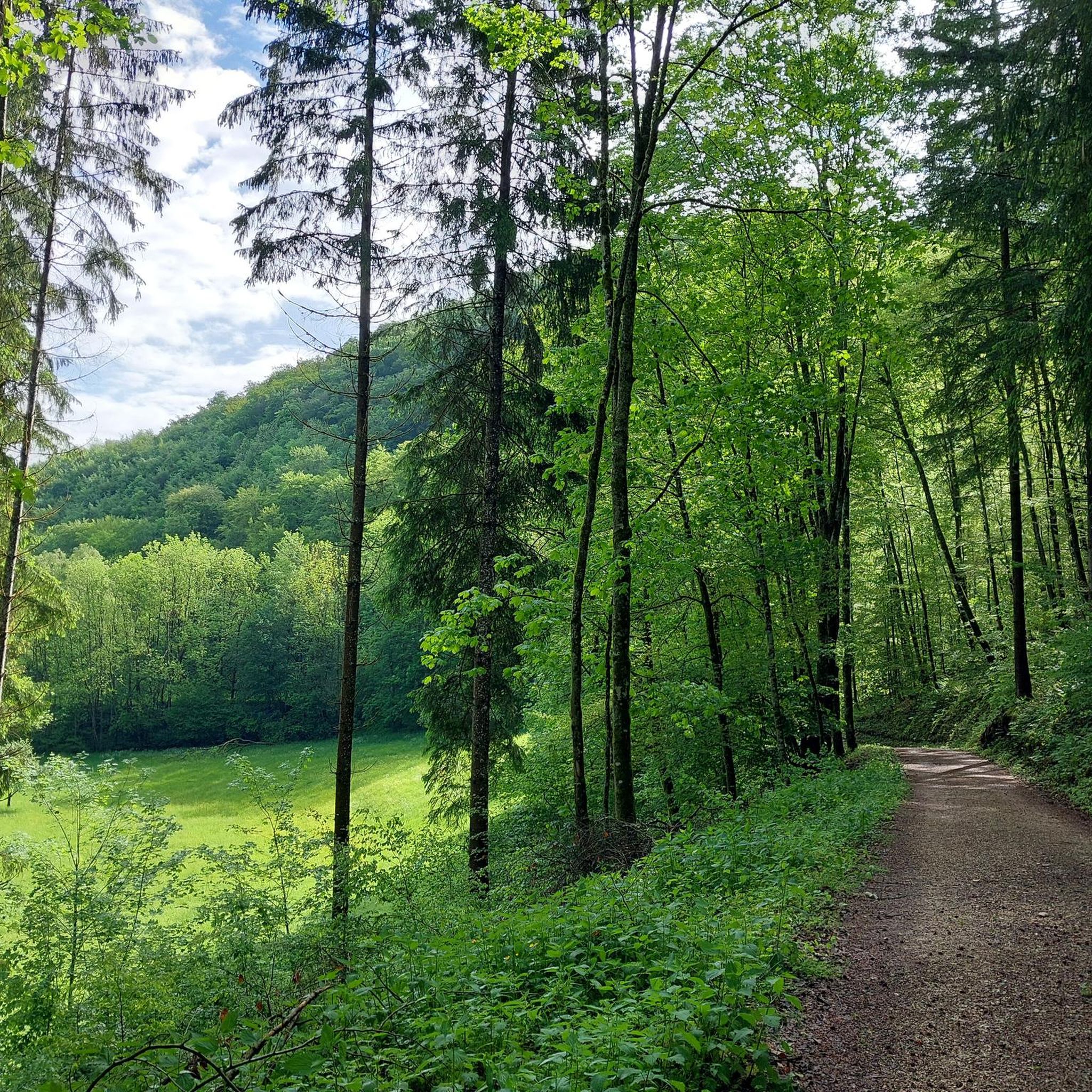
Running Trails around Oberes Lenninger Tal mit Seitentälern
Mountain Hikes around Oberes Lenninger Tal mit Seitentälern
Tips from the Community

The engine channel between Owen and Brucken is an artificially created watercourse parallel to the Lauter (Lenninger Lauter). It was historically created to divert water and utilize water power for mills or other trades in the region.
4
0


Finally, another beautiful beer garden on the Swabian Jura. Great stop for refreshments.
2
0
Beautiful gravel route on the Alb along the edge.
2
0

great beer garden/terrace, delicious Flammkuchen and super friendly staff.
0
0

Station 8 "Walls and Gates" of the Celtic Experience Trail over the fortifications of the Heidengraben. These were once almost 11 km long and had eight gates (A – H). The outermost fortification lines ran south of Grabenstetten, north of Erkenbrechtsweiler and southwest of the burial ground near Burrenhof. Three monumental gates (E, G, and F) secured the entrances there. Gate F is the largest and best-preserved among them.
6
0

An impressive section of the Celtic Ringwall 🏛️, where you can really feel the historical significance 🌿 especially in the open landscape, the gate looks very spacious and invites you to continue walking 🚶♂️.
3
0
Frequently Asked Questions
How many touring cycling routes are available in Oberes Lenninger Tal mit Seitentälern?
There are over 350 touring cycling routes in the Oberes Lenninger Tal mit Seitentälern region. These routes cater to various preferences, ranging from easy valley rides to more challenging ascents onto the Alb plateau.
What are the different difficulty levels for touring cycling routes in the region?
The Oberes Lenninger Tal mit Seitentälern offers a good mix of routes for all abilities. You'll find nearly 80 easy routes, 150 moderate routes, and over 120 difficult routes, ensuring there's something for every touring cyclist.
Are there family-friendly touring cycling routes in Oberes Lenninger Tal mit Seitentälern?
Yes, the region is well-suited for families. The cycle path along the Lautertal, for instance, is noted for being consistently slightly downhill, making it particularly appealing for families with children. An example of a moderate route that offers a scenic ride through the valley is the Lenninger Valley – Kleine Lauter stream loop from Oberes Lenninger Tal mit Seitentälern.
What natural attractions can I see along the touring cycling routes?
The region is rich in natural beauty. You can explore impressive rock formations like the Große Schrecke Rock Formation, and discover unique karst features such as the source of the White Lauter in Gutenberg, which forms spectacular cascade-like Weiße Lauter Sinter Terraces. The Goldloch Cave is another notable natural monument.
Are there any historical sites or landmarks to explore while cycling?
Absolutely. The region features several historical points of interest. You can encounter castle ruins, such as the Hofen Castle Ruins, and other architectural monuments distributed across the districts of Lenningen. The Abandoned Village of Gruorn – Old Schoolhouse of Gruorn loop from Grabenstetten is a great route to explore historical sites and enjoy views across the Alb plateau.
What do other touring cyclists say about the routes in Oberes Lenninger Tal mit Seitentälern?
The touring cycling routes in Oberes Lenninger Tal mit Seitentälern are highly rated by the komoot community, with an average score of 4.5 stars from over 3,500 reviews. Cyclists often praise the diverse landscapes, from river valleys to elevated plateaus, and the well-maintained paths.
Are there any circular touring cycling routes in the Oberes Lenninger Tal mit Seitentälern?
Yes, many routes in the region are designed as loops, allowing you to start and end at the same point. For example, the Road Along the Fils River – Source of the Fils loop from Schopfloch offers a scenic circular ride through river valleys and forested areas.
Can I bring my dog on the touring cycling routes?
While there are no specific restrictions mentioned for dogs on cycling paths, it's generally recommended to keep dogs on a leash, especially in nature reserves or areas with wildlife. Always ensure your dog is well-behaved and doesn't disturb other cyclists or nature. Please check local signage for any specific rules in certain areas.
What is the best time of year for touring cycling in this region?
The Oberes Lenninger Tal mit Seitentälern is enjoyable for touring cycling from spring through autumn. Spring brings lush greenery and blooming landscapes, while autumn offers vibrant foliage. Summer is also popular, but be mindful of warmer temperatures. The karst springs' water levels can fluctuate, making them particularly impressive after rainfall.
Are there options for public transport access to the cycling routes?
Yes, the region has accessible starting points for cyclists arriving by public transport. For instance, the Unterlenningen train station provides convenient access to many routes, allowing you to start your cycling adventure directly from there.
Where can I find parking for my car if I bring my bike?
Parking facilities are available at various starting points for the cycling routes. For example, there is convenient parking in Gutenberg, making it easy to unload your bike and begin your tour.
Are there any routes that offer impressive viewpoints?
The landscape is dotted with numerous viewpoint rocks (Aussichtsfelsen) that offer panoramic vistas. Routes that ascend to the Alb plateau (Albhochfläche) often provide expansive views of the surrounding valleys and forests. The Hohgreutfels, for instance, is known for its magnificent views of the Lenningen Valley.
How long do the touring cycling routes typically take to complete?
The duration of routes varies significantly based on distance and difficulty. For example, a moderate route like the Old Lenninger Steige – Engelhof Farm loop from Oberes Lenninger Tal mit Seitentälern, covering about 18.8 km, can be completed in under 1 hour 30 minutes. Longer routes, such as the Old Schoolhouse of Gruorn – St. Stephan's Church Gruorn loop from Grabenstetten (around 32.7 km), might take over 2 hours.
Most popular routes around Oberes Lenninger Tal mit Seitentälern
Most popular attractions around Oberes Lenninger Tal mit Seitentälern

Get inspired with the komoot mobile app


Explore more
Browse the best Cycling routes in other regions.
