The best running trails around Sodenberg-Gans
4.5
(295)
4,731
runners
220
runs
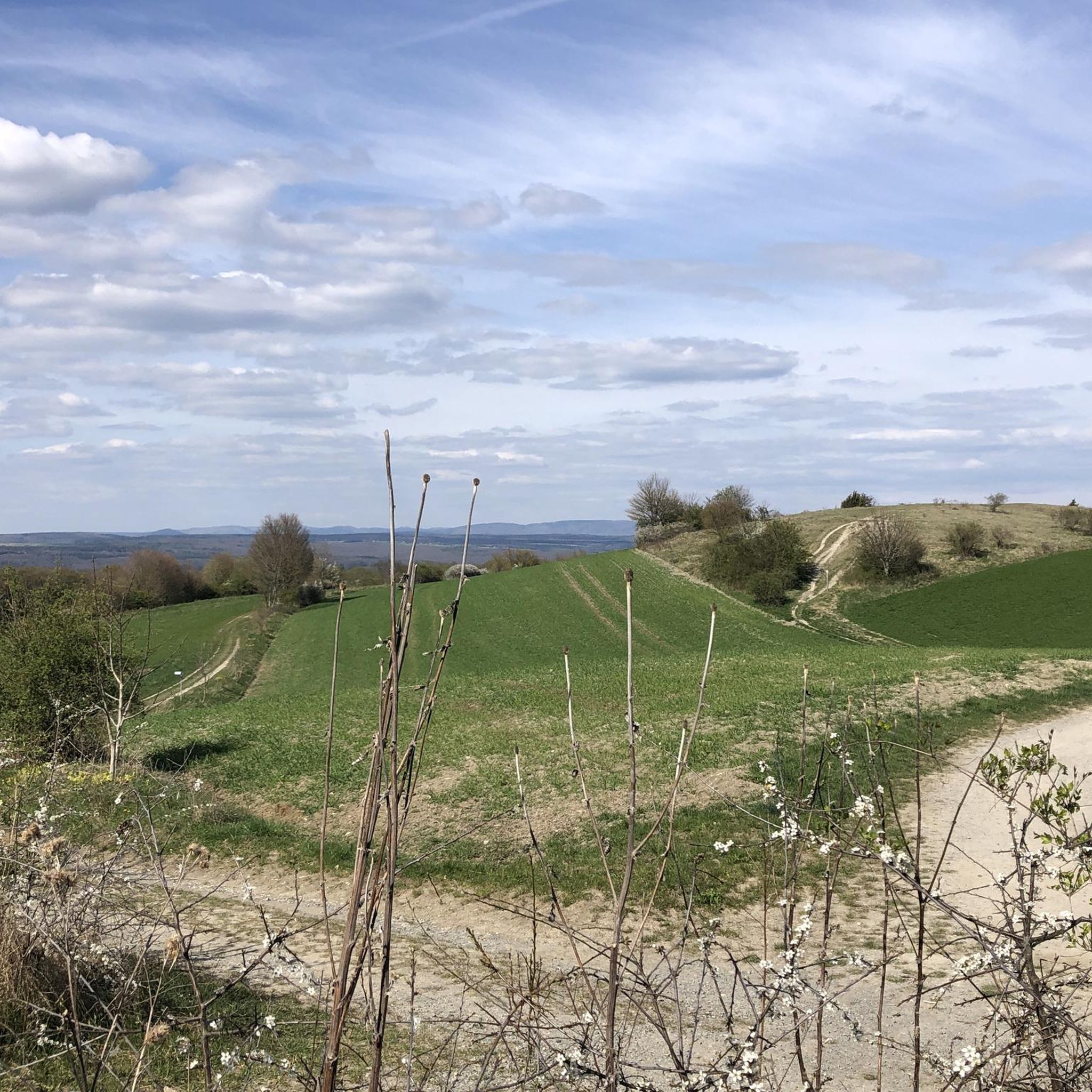
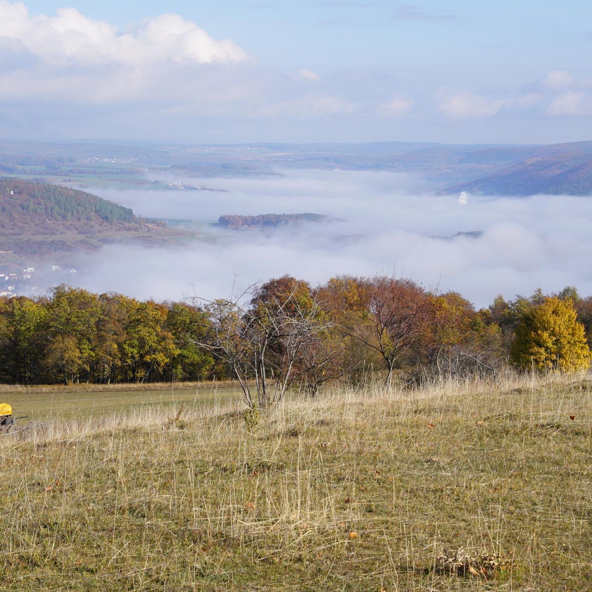
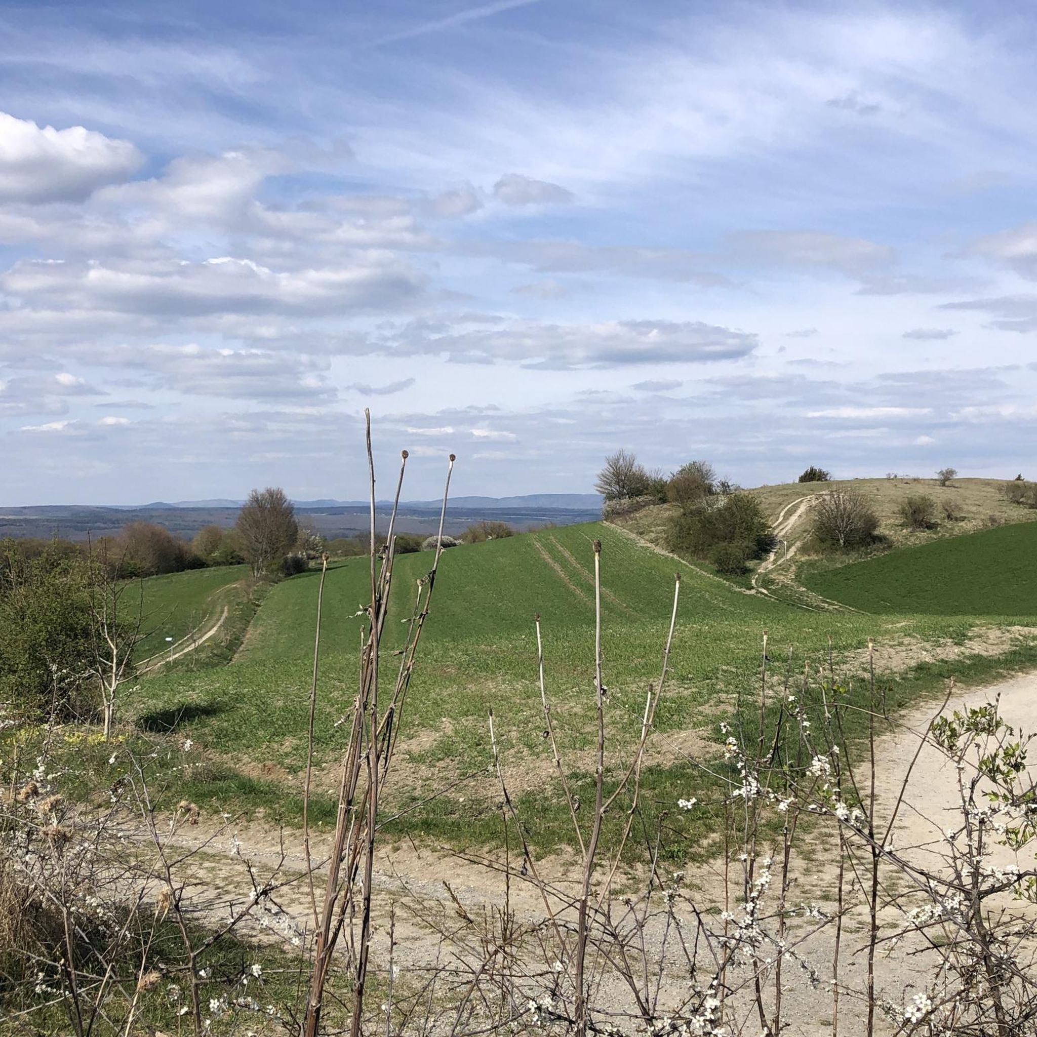
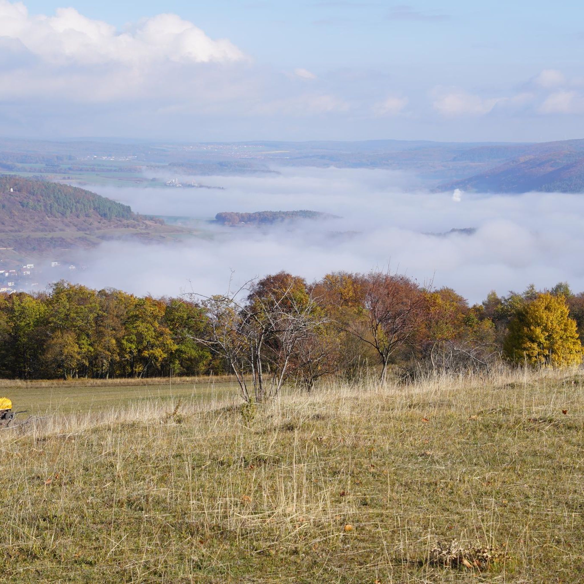
Jogging around Sodenberg-Gans offers a diverse landscape for runners. The region features a mix of forested paths, open areas, and rolling hills, including the distinctive Sodenberg Basalt Crater. Runners can explore varied terrain, from gentle slopes to more challenging ascents. The area provides a natural setting for outdoor exercise, with routes that traverse both natural and agricultural surroundings.
Best jogging routes around Sodenberg-Gans
- The most popular jogging route is Running loop from Verwaltungsgemeinschaft Gemünden a. Main, a 4.4 miles…
Last updated: October 5, 2026
4
runners
7.10km
00:46
120m
120m
Moderate run. Good fitness required. Mostly paved surfaces. Suitable for all skill levels.
3
runners
3.63km
00:23
60m
70m
Easy run. Great for any fitness level. Mostly paved surfaces. Suitable for all skill levels.

4.7
(3)
24
runners
9.87km
01:03
120m
120m
Moderate run. Good fitness required. Mostly paved surfaces. Suitable for all skill levels.
54
runners
10.7km
01:11
240m
240m
Moderate run. Good fitness required. Mostly paved surfaces. Suitable for all skill levels.
4.5
(2)
21
runners
14.7km
01:37
230m
230m
Moderate run. Good fitness required. Mostly accessible paths. Some sure footedness required.
Get access to more routes and recommendations from other explorers.
Already have an account?
Our route recommendations are based on thousands of hikes, rides, and runs completed by other people on komoot.
Start today with a free account
Your next adventure awaits.
Tips from the Community

The path is really fun and offers great views
0
0

Nice path in the shade (it was just over 30°C in the sun)
0
0

Good circular trail on the Sodenberg. There are always views into the Saaletal and Hammelburg.
0
0
Good circular trail on the Sodenberg. There are always views of the Saaletal and Hammelburg.
0
0

The Klingenbach stream rises on the Büchelberg mountain north of Windheim and flows into the Franconian Saale. There were once five mills here, none of which remain today.
0
0

Saaletal with Thulbatal nature nearby and is located in the Franconian Trockenplatte not far from my home Gasthof Kessler
0
0

Forgotten Autobahn 46
0
1

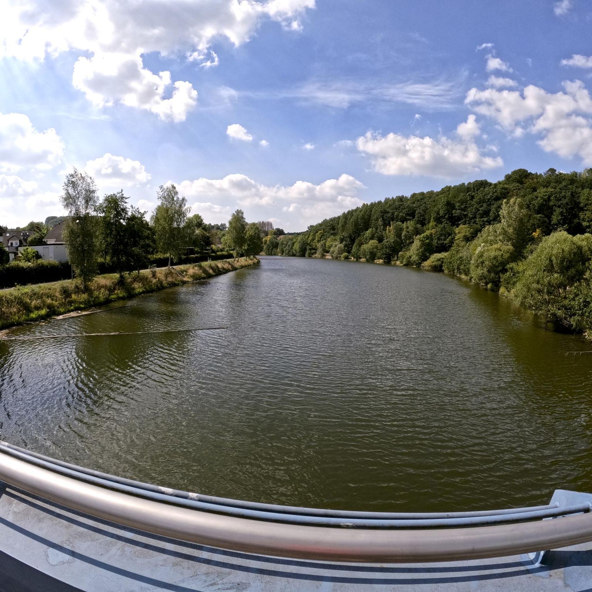
A cozy and inviting little village. You can enjoy the Saale River from the bridge.
0
0
Frequently Asked Questions
How many running routes are available in the Sodenberg-Gans region?
There are over 200 running routes in the Sodenberg-Gans area, offering a wide variety of options for all skill levels. The komoot community has explored these trails over 4000 times, providing valuable insights and ratings.
What are the difficulty levels of the jogging routes in Sodenberg-Gans?
The Sodenberg-Gans region offers a diverse range of running routes. You'll find 24 easy routes perfect for beginners, 161 moderate trails for a balanced workout, and 31 more challenging routes for experienced runners seeking a greater test.
Are there any easy running routes suitable for beginners in Sodenberg-Gans?
Yes, Sodenberg-Gans has 24 easy running routes ideal for beginners. A great option is the Sodenberg Basalt Crater loop from Sodenberg-Gans, which is 2.3 miles (3.6 km) long and takes about 23 minutes to complete, offering a gentle introduction to the region's unique landscape.
Where can I find more challenging running trails in Sodenberg-Gans?
For those seeking a challenge, Sodenberg-Gans offers 31 difficult running routes. A moderate yet challenging option is the Ochsentrail loop from Sodenberg-Gans, a 6.3-mile (10.1 km) path with significant elevation gain, providing a good test of endurance.
Are there circular running routes available in Sodenberg-Gans?
Yes, many of the running routes in Sodenberg-Gans are circular. For example, the popular Running loop from Verwaltungsgemeinschaft Gemünden a. Main is a 4.4-mile (7.1 km) circular trail that offers varied local scenery.
What kind of natural attractions can I see along the running routes in Sodenberg-Gans?
The Sodenberg-Gans region is rich in natural beauty. Along the routes, you can discover the unique Sodenberg Basalt Crater, admire the rare Spring Adonis and Pasque Flowers on Sodenberg, and enjoy panoramic views from the Sodenberg Memorial Stone and Panoramic View or the View of the Saale Valley.
Are there any historical landmarks or points of interest near the jogging trails?
Beyond natural sights, you can find several points of interest. The Sodenberg Cross Chapel and the Gisela Cross (Gisela‑Kreuz) on the Sodenberg offer historical and cultural insights. You might also pass by the Forest path on the Saaletal Cycle Route.
What do other runners enjoy most about jogging in Sodenberg-Gans?
The running routes in Sodenberg-Gans are highly rated by the komoot community, with an average score of 4.6 stars from over 240 reviews. Runners often praise the diverse landscape, including forested paths, open areas, and rolling hills, as well as the unique basalt crater environment.
Are there any running routes that offer a mix of forest and open trails?
Yes, many routes in Sodenberg-Gans provide a varied experience. The Hohe Lanz Airfield – Laiberg loop from Obereschenbach, a 6.6-mile (10.7 km) moderate trail, is a great example, taking you through both wooded areas and more open landscapes.
Are there places to eat or refresh near the running routes?
While specific cafes aren't listed, the Romantik Hotel Neumühle is a notable highlight in the area, suggesting options for refreshments or a meal after your run. It's always a good idea to check their current offerings.
What is the typical distance and elevation gain for a moderate running route in Sodenberg-Gans?
Moderate running routes in Sodenberg-Gans vary. For instance, the Röder Mill Diebach – Christenlenquelle (1882) loop from Diebach is about 6.1 miles (9.9 km) long with an elevation gain of around 119 meters, offering a good balance of distance and ascent.
Most popular routes around Sodenberg-Gans
Most popular attractions around Sodenberg-Gans

Get inspired with the komoot mobile app


Explore more
Browse the best Running Trails & Routes in other regions.
