The best walks and hikes around Santa Eulalia Bajera
4.5
(79)
515
hikers
45
hikes
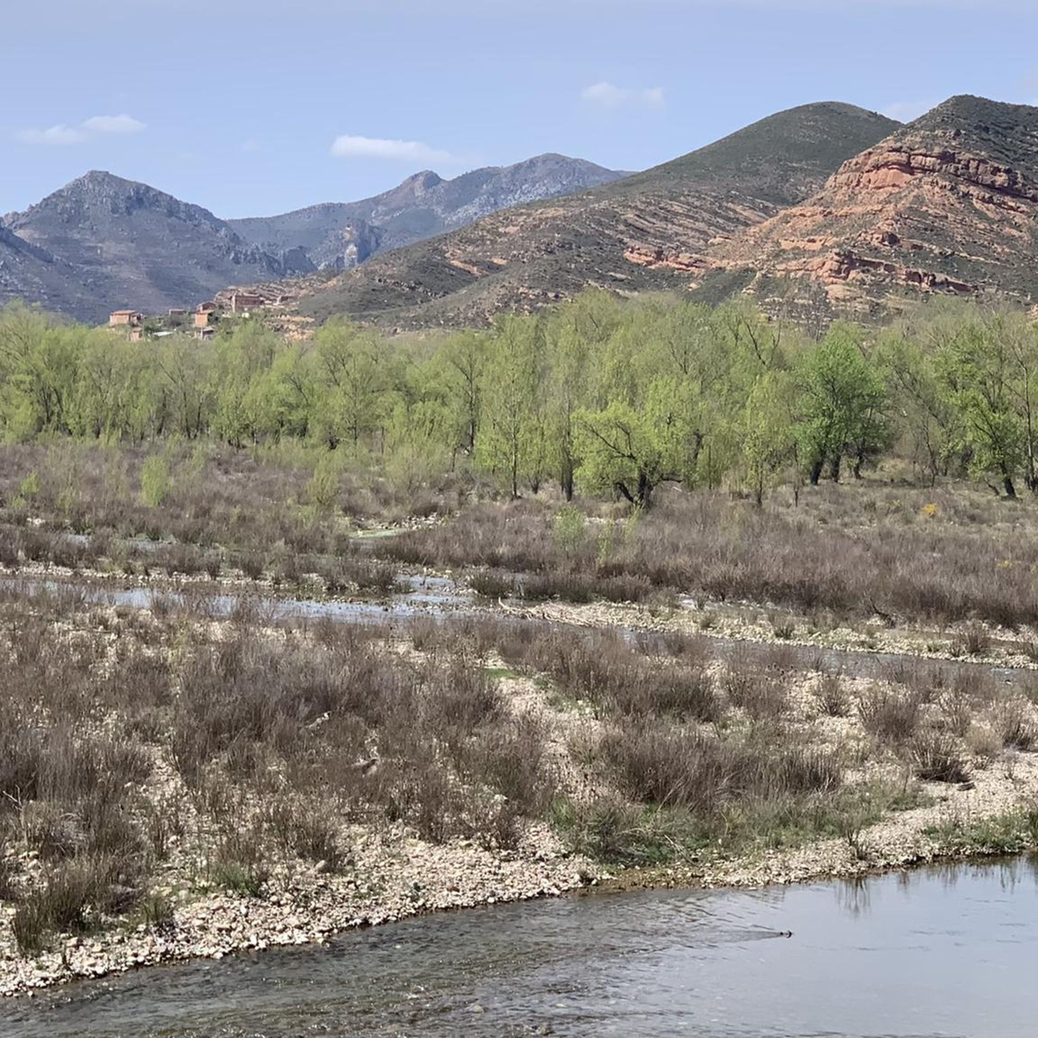
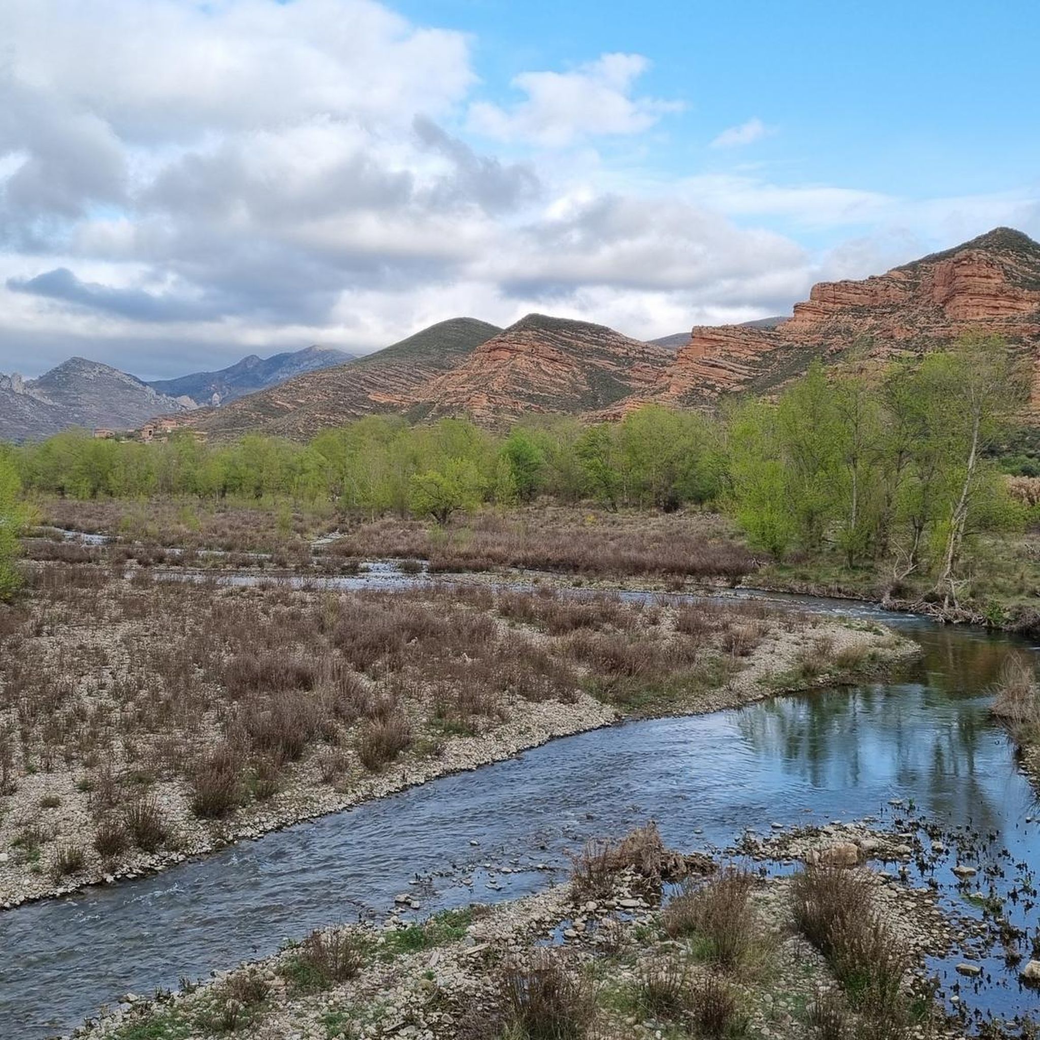
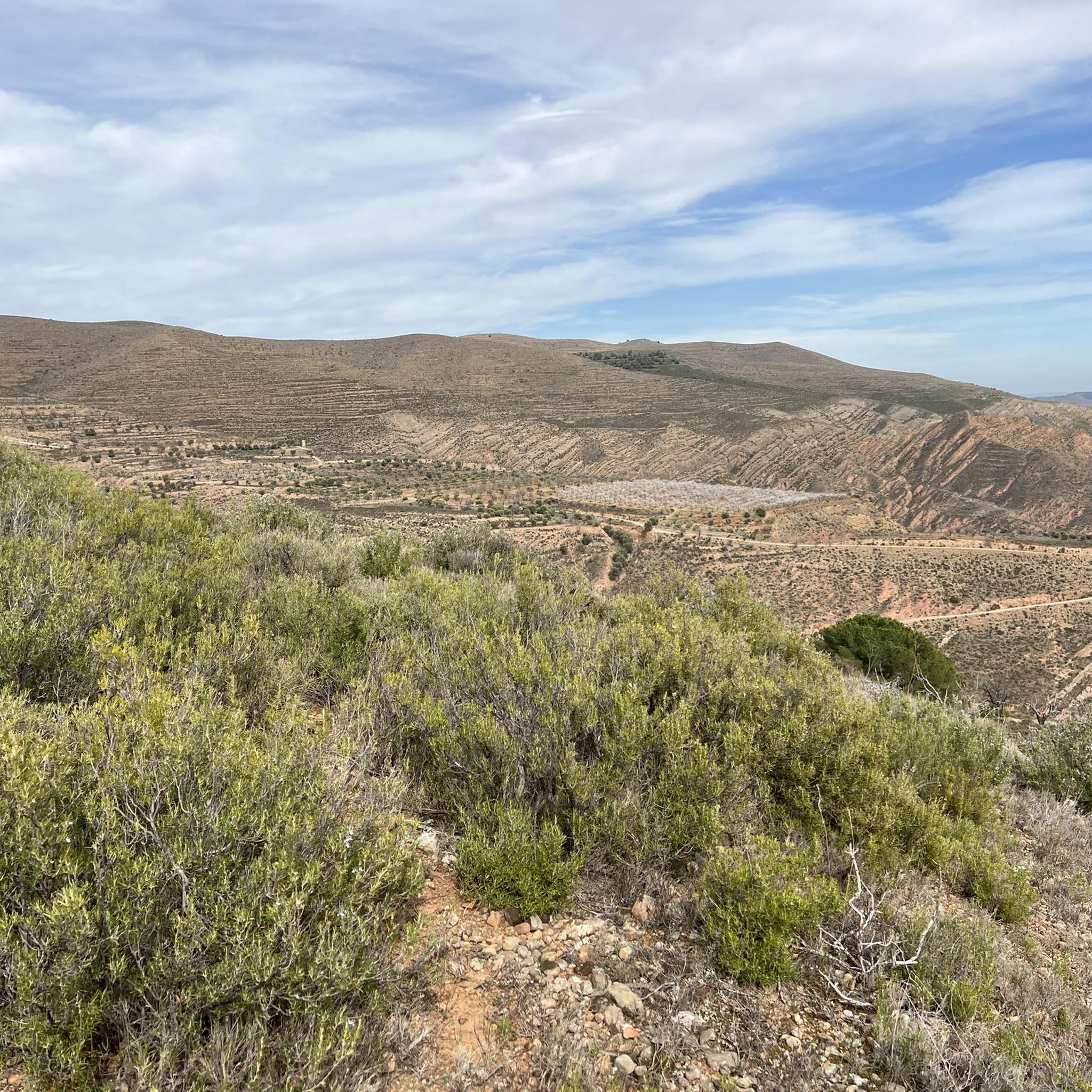
Hiking around Santa Eulalia Bajera offers diverse landscapes within the Cidacos Valley, characterized by distinctive clay-colored cliffs and lush riverbanks. The region is framed by the mountainous Sierra de la Hez and Sierra de Peñalmonte, providing varied terrain for exploration. Hikers can encounter impressive rock formations and historical sites, including ancient castles and hermitages. This area provides a rich environment for outdoor activities, blending natural beauty with cultural interest.
Best hiking trails around Santa Eulalia Bajera
- The most popular hiking…
Last updated: June 23, 2026
4.7
(3)
38
hikers
15.0km
04:16
340m
330m
Hike the Via Verde Cidacos por Arnedillo, a moderate 9.3-mile circular route exploring a greenway and the historical Ajedrezado Caves.
4.9
(7)
29
hikers
6.86km
02:01
190m
190m
Hike the moderate 4.3-mile Peña del Castillo and Cidacos Greenway Loop, combining accessible greenway paths with rugged mountain views and h

Sign up for free
5.0
(2)
9
hikers
4.24km
01:15
130m
130m
Hike an easy 2.6-mile (4.2 km) trail to Herce Castle and Peña El Salvador viewpoint in La Rioja, gaining 423 feet (129 metres).
2
hikers
6.12km
01:50
190m
200m
Easy hike. Great for any fitness level. Easily-accessible paths. Suitable for all skill levels.
12.7km
04:42
750m
760m
Hike the moderate Peña Isasa — circular desde Préjano trail for 7.9 miles of panoramic views and diverse terrain in La Rioja.
Get access to more routes and recommendations from other explorers.
Sign up for free
Already have an account?
Our route recommendations are based on thousands of hikes, rides, and runs completed by other people on komoot.
Start today with a free account
Your next adventure awaits.
Login or Signup
Tips from the Community

Monastery located 4 kilometers from the center of Arnedo. It is reached by a walk along the Cidacos River to finally cross a small bridge.
1
0

After passing through the tunnel at the Autol station, you'll be greeted with the spectacular landscape of the Cidacos Valley. Get ready for the clay-colored cliffs, the castles, the cliff houses, and the green banks of the river. The detour to Préjano is worth it if you have the time, you'll find an old castle, impressive rock structures, remains of the old railway, and a small waterfall. Upon entering Arnedillo, you'll pass thorugh more impressive rock structures and end near the hot springs. Treat yourself to a drink and take in the sun and the views on a clear day.
1
0


Nice climb from Arnedillo to the wind farms. Descent through a beautiful beech forest to Las Ruedas de Ocón.
1
0
Spectacular views, route of medium difficulty.
0
0
Stretch up and down to the castle, parallel to the riverbed.
1
0
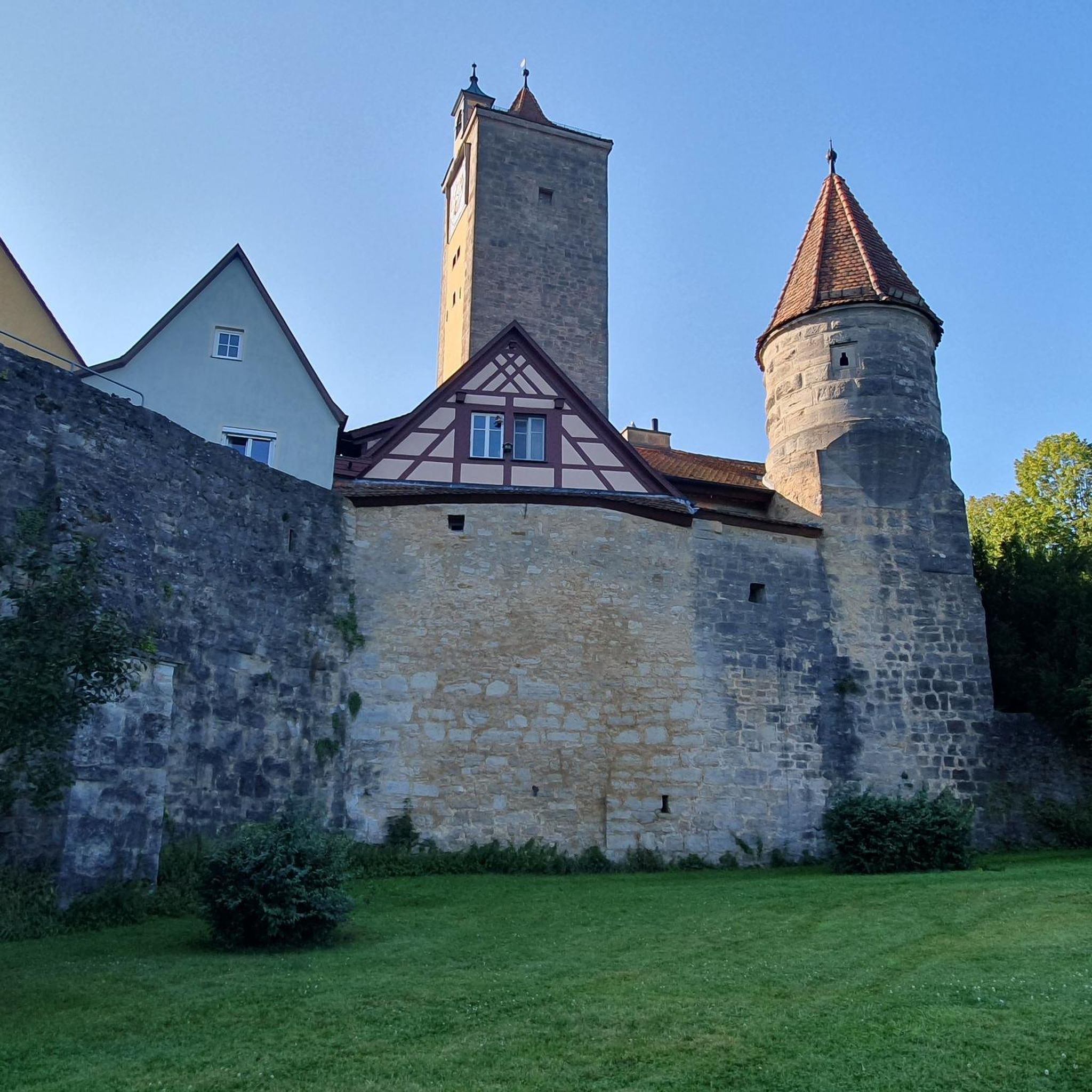
Right next to the castle of Herce.
1
0
Frequently Asked Questions
How many hiking trails are available in Santa Eulalia Bajera?
There are over 40 hiking routes around Santa Eulalia Bajera, offering a variety of experiences. These include 14 easy trails, 30 moderate options, and a few more challenging routes for experienced hikers.
What types of landscapes and natural features can I expect to see while hiking?
The region is defined by the spectacular Cidacos Valley, featuring distinctive clay-colored cliffs and lush green river banks. You'll also encounter impressive rock formations, particularly around Arnedillo, and the mountainous backdrop of the Sierra de la Hez and Sierra de Peñalmonte. A small waterfall near Préjano adds to the natural beauty.
Are there any circular hiking routes in the area?
Yes, several routes offer circular paths. For example, the Peña del Castillo and Cidacos Greenway Loop is a moderate 4.2-mile circular trail. Another option is the Mirador de San Marcos — circular desde Arnedo, which offers panoramic views.
What historical sites or attractions can I visit along the trails?
Hikers can explore several historical sites. The Herce Castle and El Salvador Hermitage Trail leads through historical landscapes. You can also find the remains of the 15th-century Préjano Castle, with its 15-meter high tower, and the Cuevas del Ajedrezado of Santa Eulalia Somera along the Via Verde Cidacos.
Are there any family-friendly hiking options?
Yes, there are 14 easy trails suitable for families or beginners. The Via Verde Cidacos, for instance, is a moderate 9.3-mile route that is generally suitable for various fitness levels, offering gentle inclines and descents through scenic greenways.
What do other hikers enjoy most about the trails in Santa Eulalia Bajera?
The trails in Santa Eulalia Bajera are highly rated by the komoot community, with an average score of 4.5 stars from over 80 reviews. Hikers often praise the diverse terrain, the blend of natural beauty with historical sites, and the well-maintained paths that cater to various ability levels.
Are there any trails that lead to viewpoints or offer panoramic vistas?
Yes, for panoramic views, consider the Mirador de San Marcos — circular desde Arnedo. This route offers excellent vantage points over the surrounding landscape.
Can I find any natural thermal springs near the hiking routes?
Yes, a significant natural draw in the region is the presence of freely accessible thermal springs located on the riverbanks in Arnedillo. These offer a relaxing experience, perfect for unwinding after a hike.
Are there any longer, more challenging hikes available?
For those seeking a more challenging experience, the Peña Isasa Loop from Préjano is a moderate route with a significant elevation gain of over 750 meters, offering a more strenuous trek.
What is the best time of year to go hiking in Santa Eulalia Bajera?
While specific recommendations depend on personal preference, the diverse landscapes of Santa Eulalia Bajera, with its valleys and mountains, offer pleasant hiking conditions during spring and autumn when temperatures are milder. Summer can be warm, but early mornings or late afternoons are still enjoyable. Winter offers a different, often quieter, experience.
Are there any trails that pass by caves or unique geological formations?
Yes, the Arnedillo and Ajedrezado Caves Loop explores the Cidacos Valley and passes by the fascinating Cuevas del Ajedrezado of Santa Eulalia Somera, offering a unique geological highlight.
Are there any specific natural monuments to look out for?
Beyond the general landscape, you can find specific natural monuments like Peña Isasa and the Red Cliffs of Herce, which are notable geological features in the area.
Most popular routes around Santa Eulalia Bajera
Most popular attractions around Santa Eulalia Bajera

Get inspired with the komoot mobile app


Explore more
Browse the best Hikes in other regions.
