The best mountain hikes around Murnauer Moos
4.7
(986)
10,515
hikers
148
hikes
Mountaineering routes around Murnauer Moos are found in the surrounding Bavarian Alps, offering diverse terrain for ascents. While the Murnauer Moos itself is a flat, extensive moorland, the nearby mountains provide challenging climbs and panoramic views. The region features a mix of forested slopes, rocky peaks, and alpine meadows. These routes often lead to summits with significant elevation gain, characteristic of the northern Limestone Alps.
Best mountaineering routes around Murnauer Moos
- The most popular mountaineering route is Kaltenbach Waterfall – Heimgarten Summit (1,790 m) loop from Ohlstadt, a 9.97 miles (16.0 km) trail that takes 6 hours 49 minutes to complete. This difficult route features over 3,600 feet (1,100 m) of elevation gain to a prominent summit.
- Another top favourite among local mountaineers is Great Illing Summit – Kaltwasser Waterfalls loop from Ohlstadt, a moderate 6.87 miles (11.1 km) path. This route offers a mix of forest paths and open sections, leading to a summit and past waterfalls.
- Local mountaineers also love the Pustertal hunting lodges – View of the Soiernalm Meadow loop from Eschenlohe, a 10.59 miles (17.0 km) trail leading through varied mountain terrain, often completed in about 6 hours 43 minutes.
- Mountaineering around Murnauer Moos is defined by forested slopes, rocky ascents, and alpine meadows. The network offers options for different ability levels, from moderate climbs to difficult summit routes.
- The routes in Murnauer Moos are highly rated by the komoot community with an average score of 4.7 stars from over 900 reviews. More than 10,000 mountaineers have used komoot to explore Murnauer Moos's varied terrain.
Last updated: July 1, 2026
4.8
(46)
439
hikers
16.6km
07:12
1,120m
1,120m
Hard mountaineering route. Very good fitness required. Mostly accessible paths. Sure-footedness required.
4.9
(13)
120
hikers
11.1km
04:19
640m
640m
Moderate mountaineering route. Good fitness required. Mostly accessible paths. Sure-footedness required.

Sign up for free
4.2
(5)
66
hikers
Hard mountaineering route. Very good fitness required. Mostly accessible paths. Sure-footedness required.
5.0
(5)
35
hikers
21.1km
08:34
1,160m
1,160m
Hard mountaineering route. Very good fitness required. Mostly accessible paths. Sure-footedness required.
5.0
(1)
30
hikers
9.93km
04:57
840m
840m
Moderate mountaineering route. Good fitness required. Mostly accessible paths. Sure-footedness required.
Get access to more routes and recommendations from other explorers.
Sign up for free
Already have an account?
Our route recommendations are based on thousands of hikes, rides, and runs completed by other people on komoot.
Start today with a free account
Your next adventure awaits.
Login or Signup
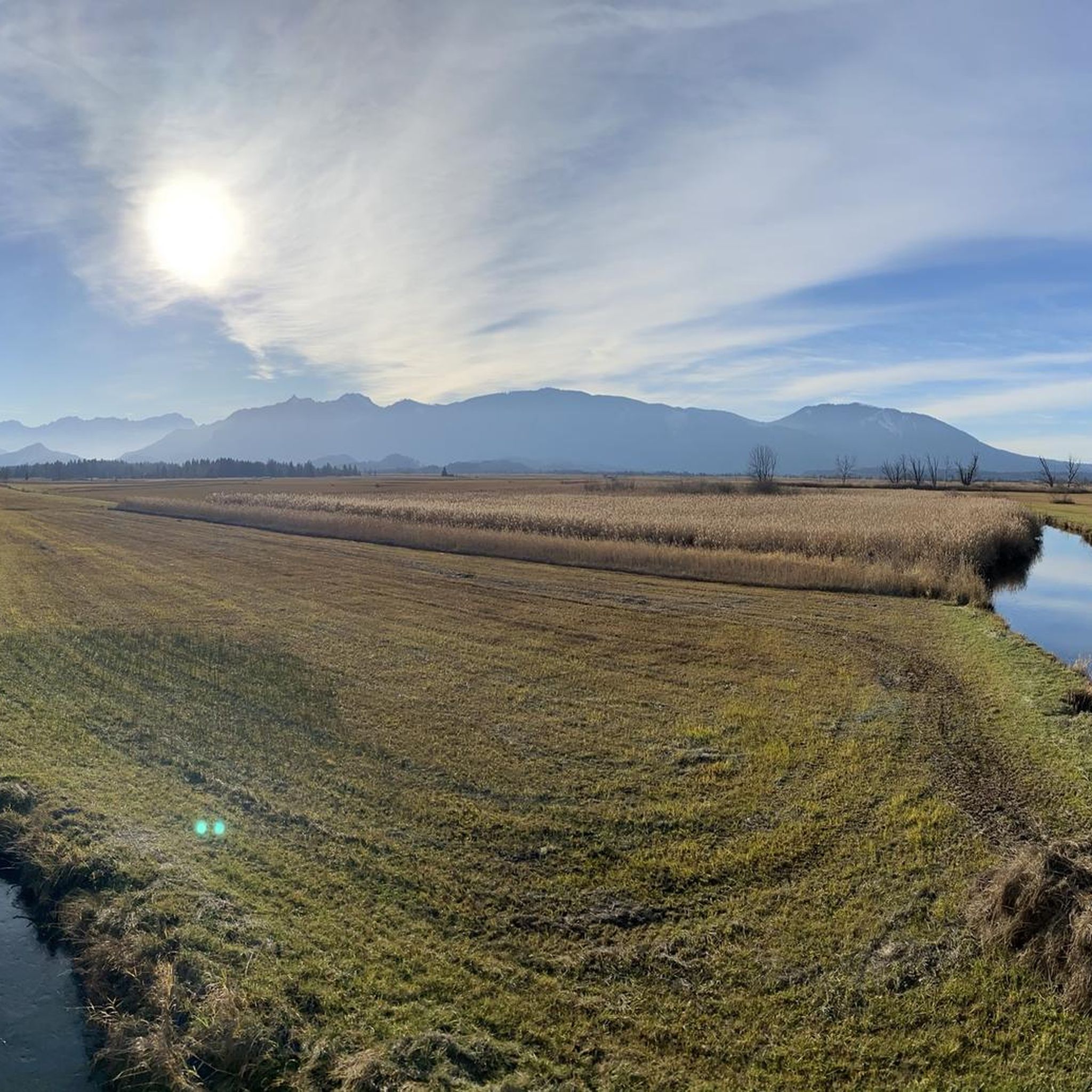
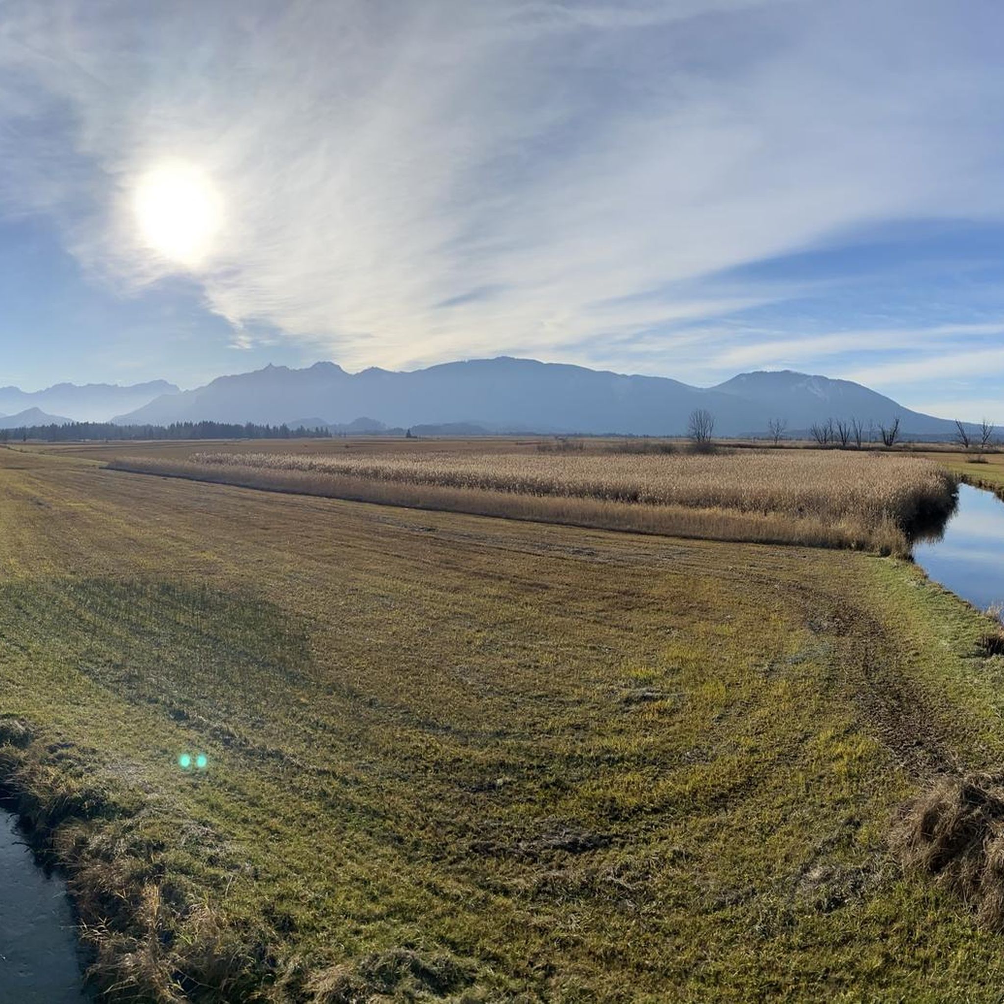
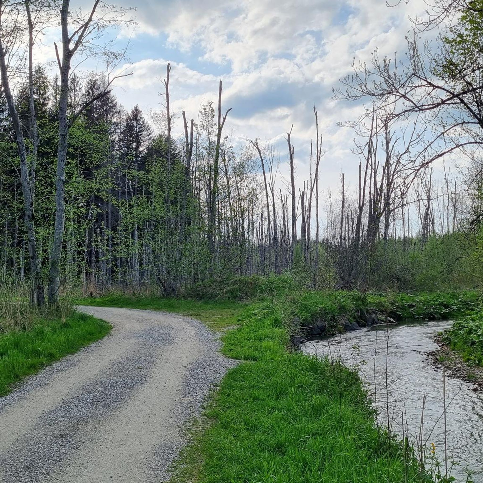
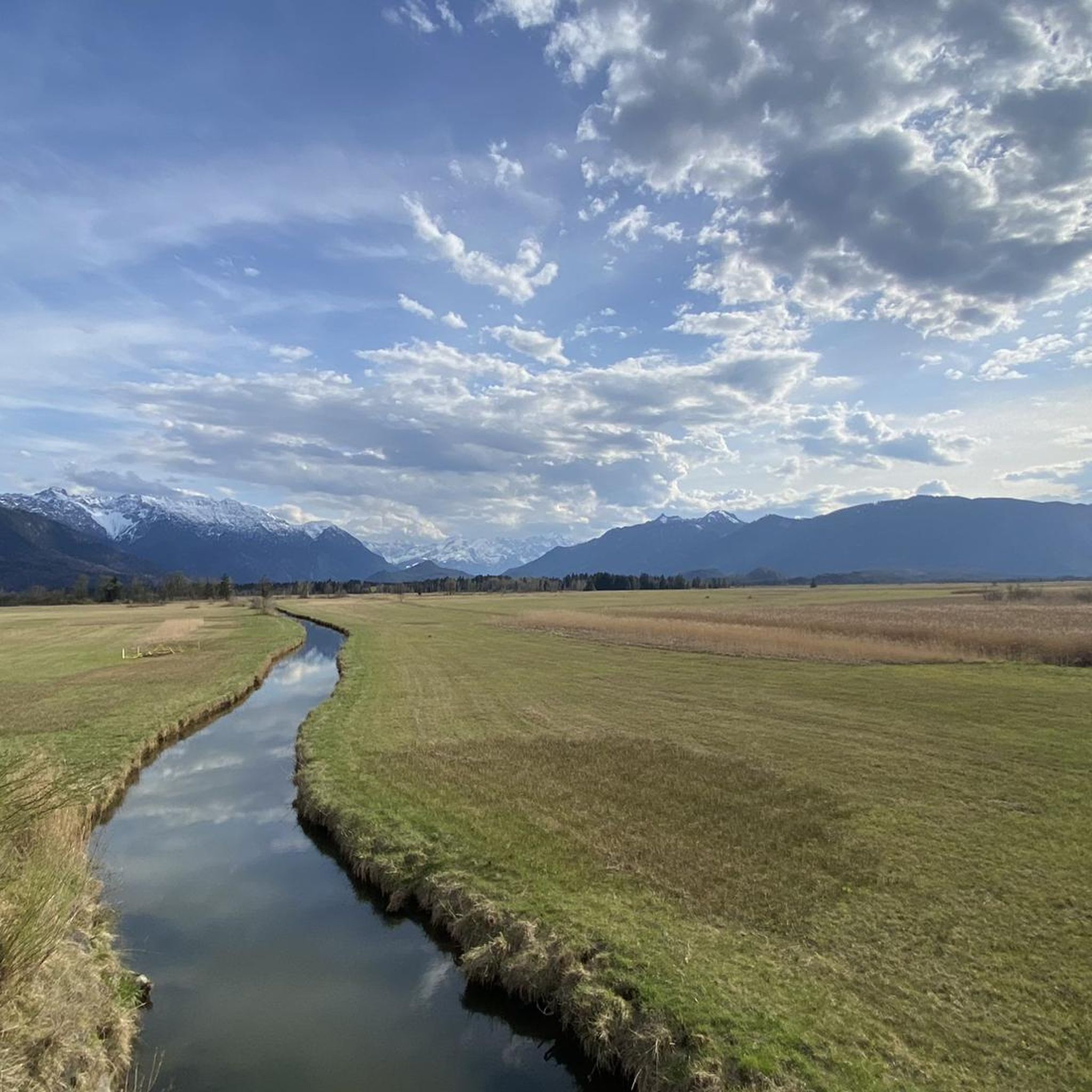
Tips from the Community

There's no view from here. Tom probably means the Osterfeuerkopf, which is about 20 minutes further uphill.
0
0

Fantastic view of Lake Ammersee, Lake Starnberg, Lake Staffelsee and Lake Riegsee.
0
1

The tour isn't signposted or marked, but it follows clearly visible paths and trails throughout. In early spring, however, the trails can be quite muddy.
1
0


Lonely summit with magnificent panoramic views!
0
0

Although the hut is not open to the public, you can still take a nice break here.
1
0

Anyone who has made it up here on their bike has earned a rest. The hut is self-catering, so bring your own snacks!
0
0
Frequently Asked Questions
What are the typical difficulties of mountaineering routes around Murnauer Moos?
The mountaineering routes in the surrounding Bavarian Alps offer a range of challenges. You'll find a good mix of moderate and difficult trails. For instance, routes like the Kaltenbach Waterfall – Heimgarten Summit (1,790 m) loop from Ohlstadt are considered difficult, involving significant elevation gain. However, there are also moderate options such as the Great Illing Summit – Kaltwasser Waterfalls loop from Ohlstadt, which offers a more balanced experience.
Are there any easier mountaineering routes for beginners?
While many routes involve considerable elevation, there are a few easier options suitable for those new to mountaineering. The region offers 2 routes classified as easy, and 57 routes are considered moderate, providing a good stepping stone before tackling the more challenging ascents.
Can I find circular mountaineering routes in the area?
Yes, many of the mountaineering routes around Murnauer Moos are designed as loops, allowing you to start and end at the same point. Examples include the challenging Hinteres Hörnle Summit – Stierkopf loop from Grafenaschau and the longer Hirschberg Summit (1,659 m) – Osterfeuerberg loop from Ohlstadt.
Are there mountaineering routes that pass by waterfalls?
Absolutely! Several routes incorporate beautiful waterfalls into their paths. The Kaltenbach Waterfall – Heimgarten Summit (1,790 m) loop from Ohlstadt is a prime example, offering stunning views of the Kaltenbach Waterfall. Another great option is the Great Illing Summit – Kaltwasser Waterfalls loop from Ohlstadt, which leads past the Kaltwasser Waterfalls.
What natural features or landmarks can I expect to see on these routes?
Beyond the impressive mountain views, the routes often traverse diverse landscapes including forested slopes, rocky ascents, and alpine meadows. You might also encounter unique natural monuments like the Langer Filz boardwalk in Murnauer Moos, which offers insights into the delicate moorland ecosystem, or various small lakes such as New Moosberg Lake and Krebssee.
How accessible are the mountaineering routes by public transport?
Many of the trailheads for mountaineering routes around Murnauer Moos are accessible by public transport, particularly from towns like Ohlstadt and Eschenlohe. It's advisable to check local bus and train schedules in advance, as services might be less frequent on weekends or during off-peak seasons.
Is parking available near the trailheads?
Yes, parking is generally available near the starting points of popular mountaineering routes in the villages surrounding Murnauer Moos, such as Ohlstadt, Eschenlohe, and Grafenaschau. However, during peak season or on sunny weekends, parking lots can fill up quickly, so arriving early is recommended.
Are the mountaineering routes around Murnauer Moos suitable for families?
While the Murnauer Moos itself is ideal for family-friendly walks, the mountaineering routes in the surrounding Alps are generally more challenging. Many involve significant elevation gain and rocky terrain, making them more suitable for families with older, experienced children. For younger families, consider the easier hiking trails within the moorland itself.
Can I bring my dog on these mountaineering routes?
Many mountaineering routes in the Bavarian Alps are dog-friendly, but it's crucial to keep your dog on a leash, especially in nature reserves, near livestock, or on narrow, exposed sections. Be prepared for varied terrain, potential stream crossings, and ensure your dog is fit enough for the elevation and distance.
What is the best time of year for mountaineering in this region?
The best time for mountaineering around Murnauer Moos is typically from late spring to early autumn (May to October). During these months, the weather is generally more stable, and trails are free of snow. Early summer offers lush greenery and wildflowers, while autumn provides stunning fall foliage. Winter mountaineering is possible but requires specialized equipment and experience due to snow and ice conditions.
What do other mountaineers enjoy most about the routes here?
The mountaineering routes around Murnauer Moos are highly rated by the komoot community, with an average score of 4.7 stars from over 900 reviews. Reviewers often praise the stunning panoramic views of the Bavarian Alps, the diverse terrain ranging from forests to rocky peaks, and the well-maintained paths. The opportunity to combine challenging ascents with beautiful natural features like waterfalls is also frequently highlighted.
How many mountaineering routes are available in the area?
There are over 150 mountaineering routes available around Murnauer Moos, offering a wide variety of options for different skill levels and preferences. This includes 2 easy, 57 moderate, and 96 difficult routes, ensuring there's a suitable challenge for almost every mountaineer.
Most popular routes around Murnauer Moos
Most popular attractions around Murnauer Moos

Get inspired with the komoot mobile app


Explore more
Browse the best Mountain Hikes & Routes in other regions.
