The best road cycling routes around Brenk
4.4
(134)
1,651
riders
70
rides
Road cycling routes around Brenk are characterized by varied terrain, including moderate ascents and descents. The region offers a network of routes suitable for road cyclists seeking diverse challenges. Elevations on these routes typically range up to several hundred meters, providing engaging rides through the landscape.
Best road cycling routes around Brenk
- The most popular road cycling route is Geyser at the Carbo site – Niederzissen Railway Station loop from Schorberg und Scheldköpfchen, a 16.9 miles (27.2 km) trail…
Last updated: October 13, 2026
32
riders
Moderate road ride. Good fitness required. Some segments of this route may be unpaved and difficult to ride.
5.0
(3)
17
riders
19.6km
01:08
350m
350m
Moderate road ride. Good fitness required. Some segments of this route may be unpaved and difficult to ride.

5.0
(1)
13
riders
26.8km
01:24
450m
460m
Moderate road ride. Good fitness required. Some segments of this route may be unpaved and difficult to ride.
13
riders
38.3km
02:02
730m
730m
Moderate road ride. Good fitness required. Mostly well-paved surfaces and easy to ride.
11
riders
25.3km
01:25
470m
470m
Moderate road ride. Good fitness required. Some segments of this route may be unpaved and difficult to ride.
Get access to more routes and recommendations from other explorers.
Already have an account?
Our route recommendations are based on thousands of hikes, rides, and runs completed by other people on komoot.
Start today with a free account
Your next adventure awaits.
Tips from the Community

With the Vulkan-Express to Engeln, bicycle transport is free. Then mostly downhill back to Brohl. Parking available. Train departs at 10:15 am. Arriving early is advisable.
0
0

In Burgbrohl, a memorial stele with a bronze plaque, unveiled in 2022 on Josefsplatz, commemorates the Jewish victims of National Socialism. It lists the names of 22 Jewish citizens who were deported and murdered during the Nazi era. Josefsplatz in Burgbrohl serves as the modern village center. It features a large roundabout, exposed areas along the Brohlbach, and a toilet facility. The historic St. Joseph's Column from 1786 characterizes the center. https://www.blick-aktuell.de/Berichte/Feierliche-Enthuellung-einer-Gedenktafel-auf-dem-Josefplatz-Burgbrohl-508464.html https://www.burgbrohl.de/index.php/burgbrohl-aktuell/77-jahre-nach-kriegs-en-de-be-kommt-burg-brohl-eine-tafel-mit-namen-jue-di-scher-ns-opfer
0
0

The Catholic parish church of St. Germanus in Niederzissen, a municipality in the Ahrweiler district of Rhineland-Palatinate, is a listed church building. The church is dedicated to St. Germanus of Auxerre. The original church was built in the mid-12th century; the lower stories of the tower are all that remain of this original structure. A new building was erected after 1225 in the transitional style between Romanesque and Gothic. Extensive renovations and repairs were carried out in 1832, 1839, 1906/07, and 2007. In 1862, the church tower was raised and given a rhomboid roof. From 1966 to 1968, the building was extended according to a design by Heinrich Otto Vogel with a heptagonal, tent-shaped addition and a roof turret. The church is a three-aisled basilica with three bays and groin vaults. The chancel has a five-sided apse. The tower is slightly recessed. The Romanesque baptismal font is particularly valuable. On the east side of the church is a 165 cm high relief depicting Saint Germanus. It was created from tuff stone by the sculptor Hans Gerhard Biermann. Three historic bells hang in the church tower: the oldest is the Christ the King bell from 1337; the other two are the Mary bell from 1462 and the St. Sebastian bell from 1728. https://de.wikipedia.org/wiki/St._Germanus_(Niederzissen)
0
0

Here, the various climbs can be combined into pleasant tours.
0
0

For me, it was the destination of the first stage of the Eifel Ladder. I was picked up by the innkeeper at my guesthouse.
0
0

Three different locomotives are used for the journey: two diesel locomotives and one steam locomotive.
10
0
For pedestrians and cyclists, a ride on the Brohltalbahn is worthwhile. The end point is ideal as a starting point for a short or long hiking or cycling tour. Alternatively, you can return by train.
10
2

Station of the Vulkanexpress from the Rhine (Brohl-Lützing) to the Eifel (Engeln)
5
0
Frequently Asked Questions
How many road cycling routes are available in Brenk?
Brenk offers a wide selection of road cycling routes, with over 70 options available. These routes cater to various skill levels, including 7 easy, 48 moderate, and 19 difficult trails, ensuring there's a suitable ride for every cyclist.
What kind of terrain can I expect on road cycling routes in Brenk?
Road cycling routes in Brenk feature varied terrain, characterized by moderate ascents and descents. You'll encounter engaging rides through diverse landscapes, with elevations typically ranging up to several hundred meters. For example, the Geyser at the Carbo site – Niederzissen Railway Station loop from Schorberg und Scheldköpfchen includes an elevation gain of over 440 meters.
Are there any challenging road cycling routes in Brenk?
Yes, Brenk offers challenging road cycling routes for experienced riders. There are 19 difficult routes available. For a significant climb, consider the Langenfeld Hairpin Bends – Langenfeld Climb loop from Weibern, which features over 720 meters of elevation gain.
What do other road cyclists enjoy most about cycling in Brenk?
The road cycling experience in Brenk is highly rated by the komoot community, with an average score of 4.4 stars from over 110 reviews. Cyclists often praise the varied terrain, scenic loops, and the diverse landscapes that make each ride engaging.
Are there any scenic viewpoints or landmarks along the road cycling routes?
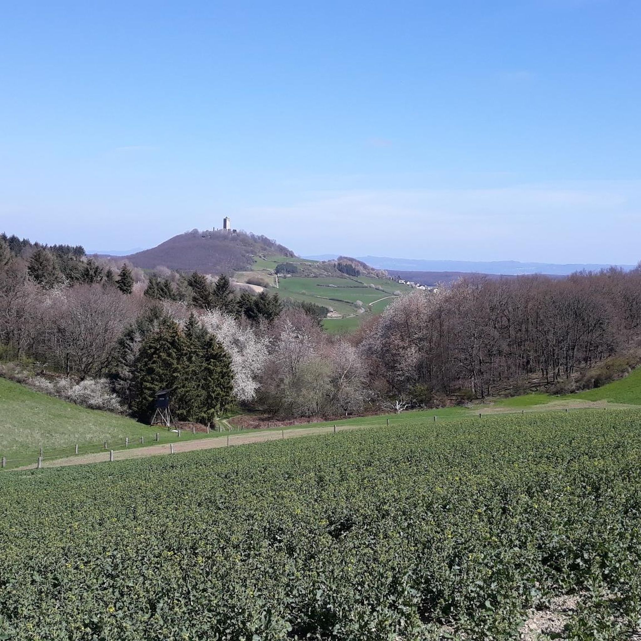
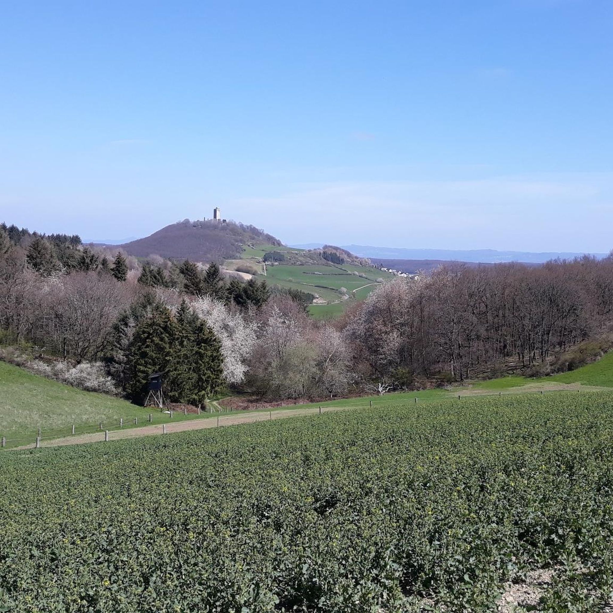
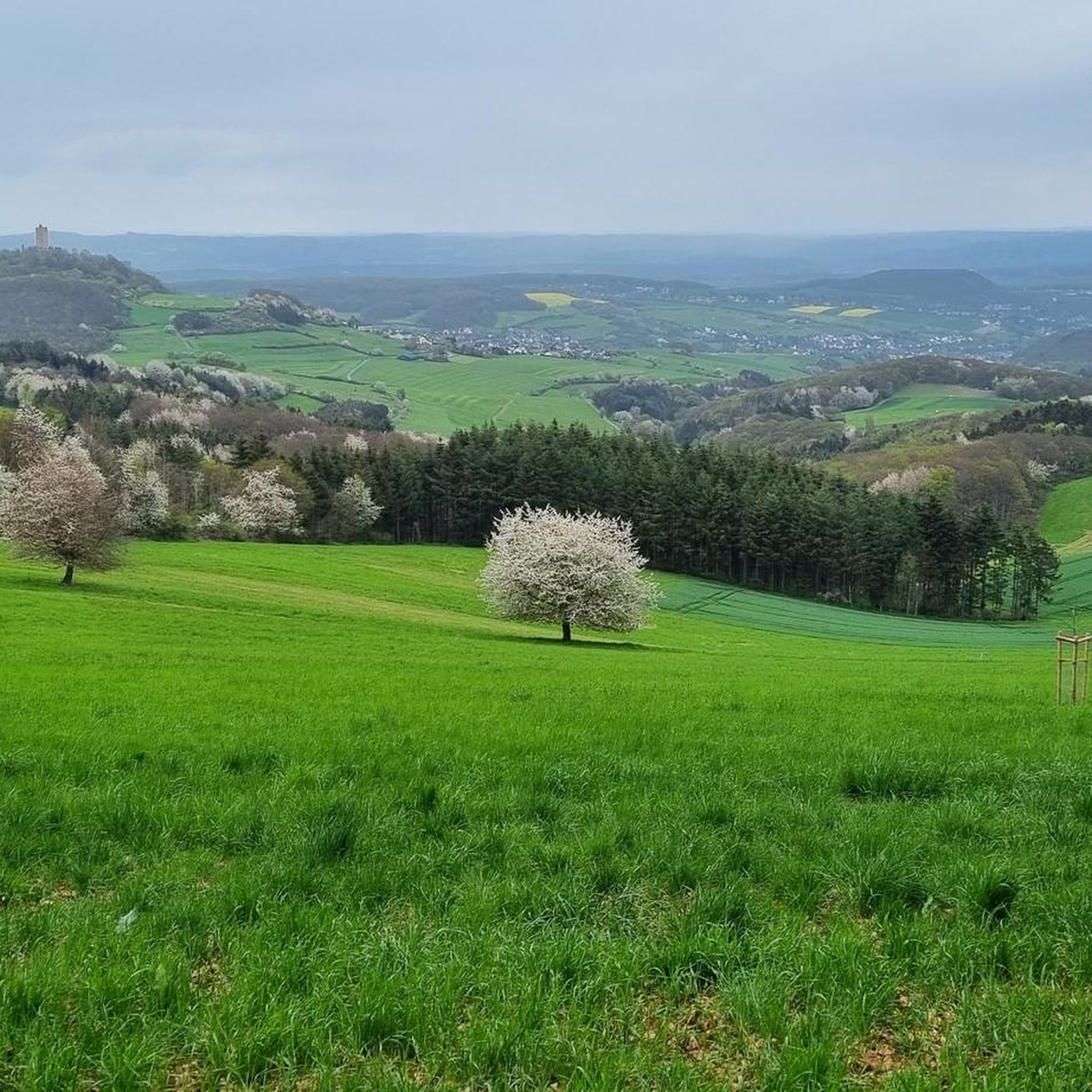
Many routes offer scenic views. For instance, the Steep Ascent at Einsiedel – View of Olbrück Castle loop from Weibern provides views towards Olbrück Castle. You can also find routes that pass by natural features like Rieden Forest Lake.
Are there any circular road cycling routes in Brenk?
Yes, many road cycling routes in Brenk are designed as loops, offering convenient circular rides. Examples include the popular Geyser at the Carbo site – Niederzissen Railway Station loop from Schorberg und Scheldköpfchen and the View of Olbrück Castle – Brohltalbahn Terminus loop from Brenk.
Can I find routes that pass by lakes in Brenk?
Yes, some road cycling routes in Brenk offer views of or pass near beautiful lakes. The Rieden Forest Lake – Riedener Waldsee loop from Weibern is one such route that takes you past Rieden Forest Lake. Other notable lakes in the area include Laacher Lake and Rodder Maar.
Are there any easy road cycling routes suitable for beginners in Brenk?
Yes, Brenk offers 7 easy road cycling routes, perfect for beginners or those looking for a more relaxed ride. These routes provide a gentler introduction to the region's landscapes without significant climbs.
What are some popular road cycling routes in Brenk?
Among the most popular routes are the Geyser at the Carbo site – Niederzissen Railway Station loop from Schorberg und Scheldköpfchen, known for its moderate challenge and varied terrain. Another favorite is the Steep Ascent at Einsiedel – View of Olbrück Castle loop from Weibern, which offers rewarding views after a notable climb.
Are there any attractions near the road cycling routes that I can explore?
Beyond road cycling, the Brenk area offers several attractions. You can explore natural features like Nitzbach Ford or visit various lakes such as Laacher Lake. For mountain biking enthusiasts, there are also bike parks nearby, including the St. Jost Downhill Trail.
How long do road cycling routes in Brenk typically take to complete?
The duration of road cycling routes in Brenk varies depending on the distance and elevation. For example, the Geyser at the Carbo site – Niederzissen Railway Station loop from Schorberg und Scheldköpfchen, which is 27.2 km long, typically takes about 1 hour and 23 minutes. Longer routes, like the 38.2 km Langenfeld Hairpin Bends – Langenfeld Climb loop from Weibern, can take over 2 hours.
Most popular attractions around Brenk

Get inspired with the komoot mobile app


Explore more
Browse the best Road cycling routes in other regions.
