The best walks and hikes around Geigelstein
4.6
(51499)
239,188
hikers
53
hikes
Hiking around Geigelstein offers diverse terrain within the Chiemgau Alps, characterized by prominent peaks, extensive alpine meadows, and varied forest paths. This designated nature reserve is known for its rich alpine flora and provides panoramic views encompassing several mountain ranges and Lake Chiemsee. The region features both gentle slopes and challenging rocky trails, with some of the highest alpine pastures in Germany.
Best hiking trails around Geigelstein
- The most popular hiking route is Jägersteig Trail (Geigelstein Conservation Area) – Trail…
Last updated: September 23, 2026
4.7
(100)
411
hikers
15.9km
06:35
1,130m
1,130m
Hard hike. Very good fitness required. Mostly accessible paths. Sure-footedness required.
4.8
(571)
2,802
hikers
Hard hike. Very good fitness required. Mostly accessible paths. Sure-footedness required.

4.7
(98)
414
hikers
15.3km
06:36
1,190m
1,190m
Hard hike. Very good fitness required. Mostly accessible paths. Sure-footedness required.
4.8
(79)
451
hikers
Hard hike. Very good fitness required. Mostly accessible paths. Sure-footedness required.
13
hikers
8.44km
03:47
670m
680m
Moderate hike. Good fitness required. Mostly accessible paths. Sure-footedness required.
Get access to more routes and recommendations from other explorers.
Already have an account?
Our route recommendations are based on thousands of hikes, rides, and runs completed by other people on komoot.
Start today with a free account
Your next adventure awaits.
Popular around Geigelstein
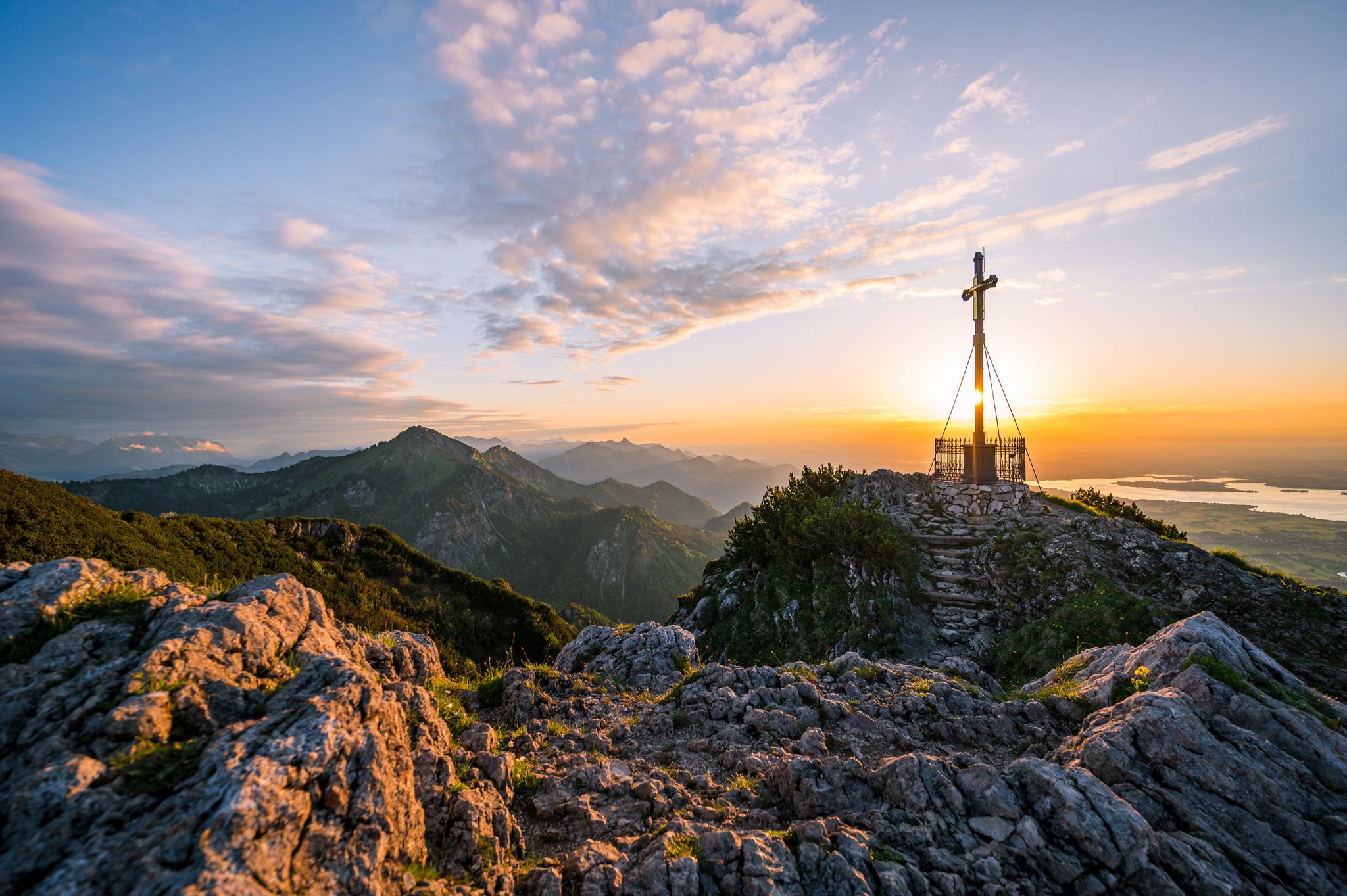
Autumn in Chiemgau – an atmospheric hiking break for two

Hiking without borders – mountainous Tours in Germany and Austria
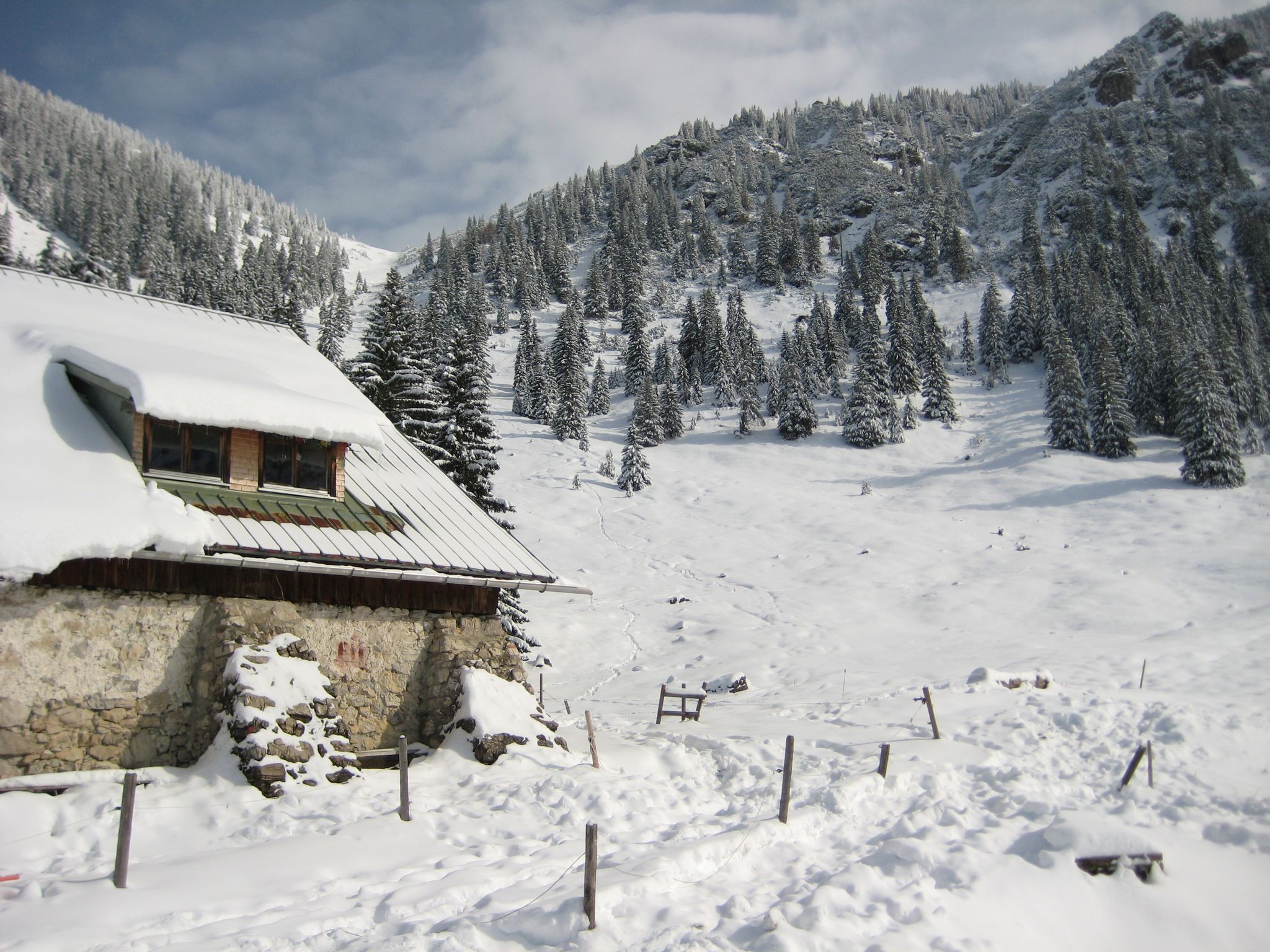
Southern Germany — mountain lodges for the cold season
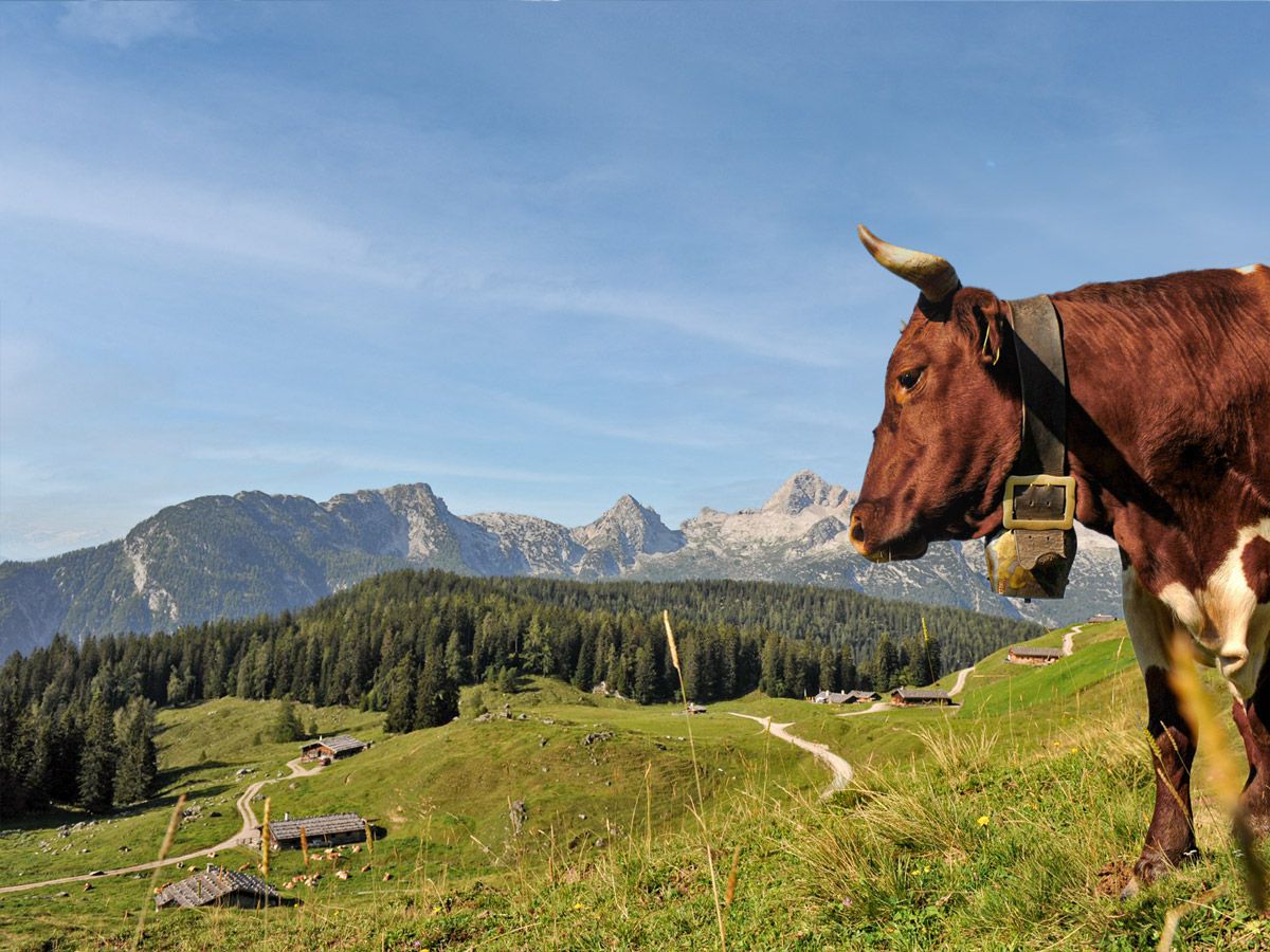
Da Kuah auf der Spur
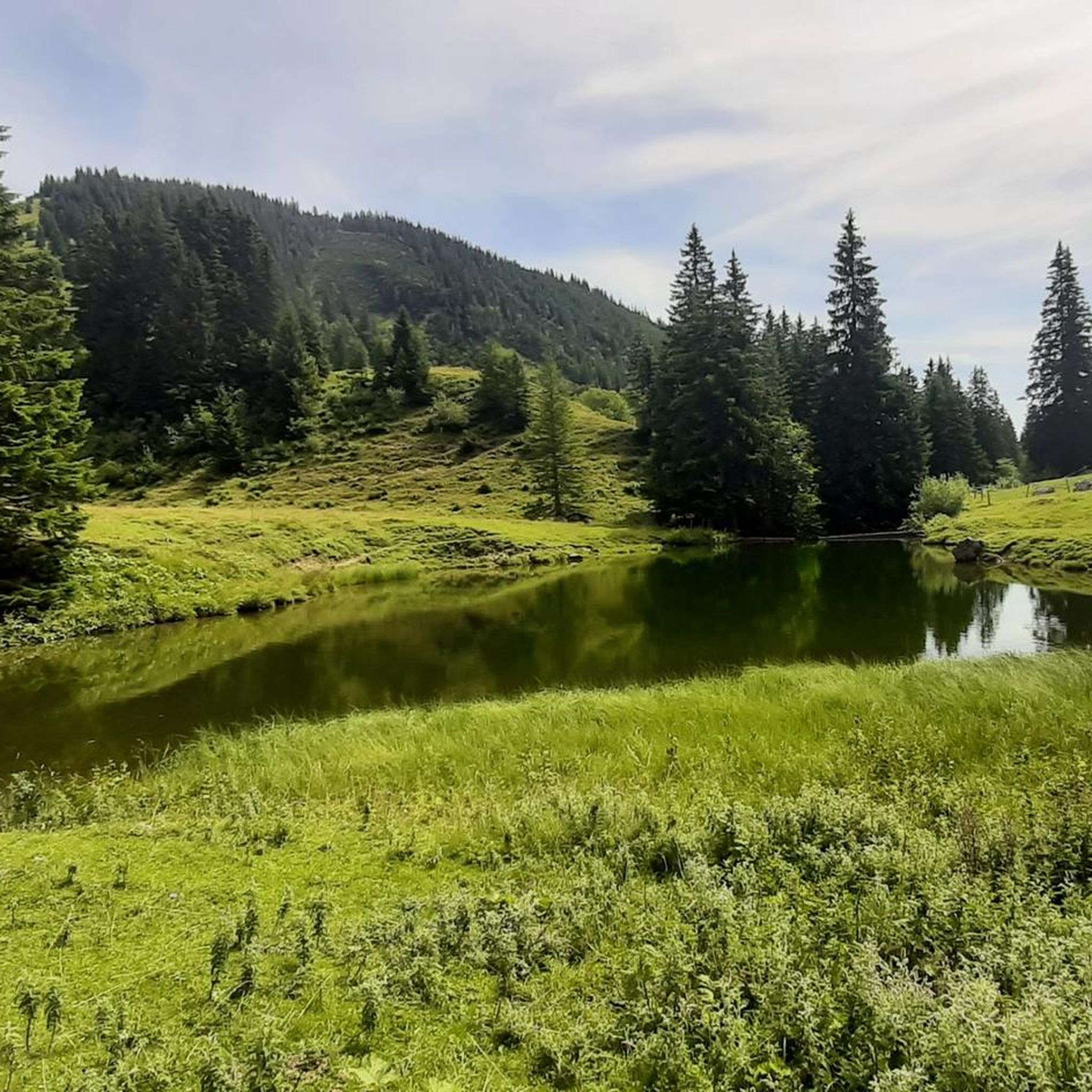
MTB Trails around Geigelstein
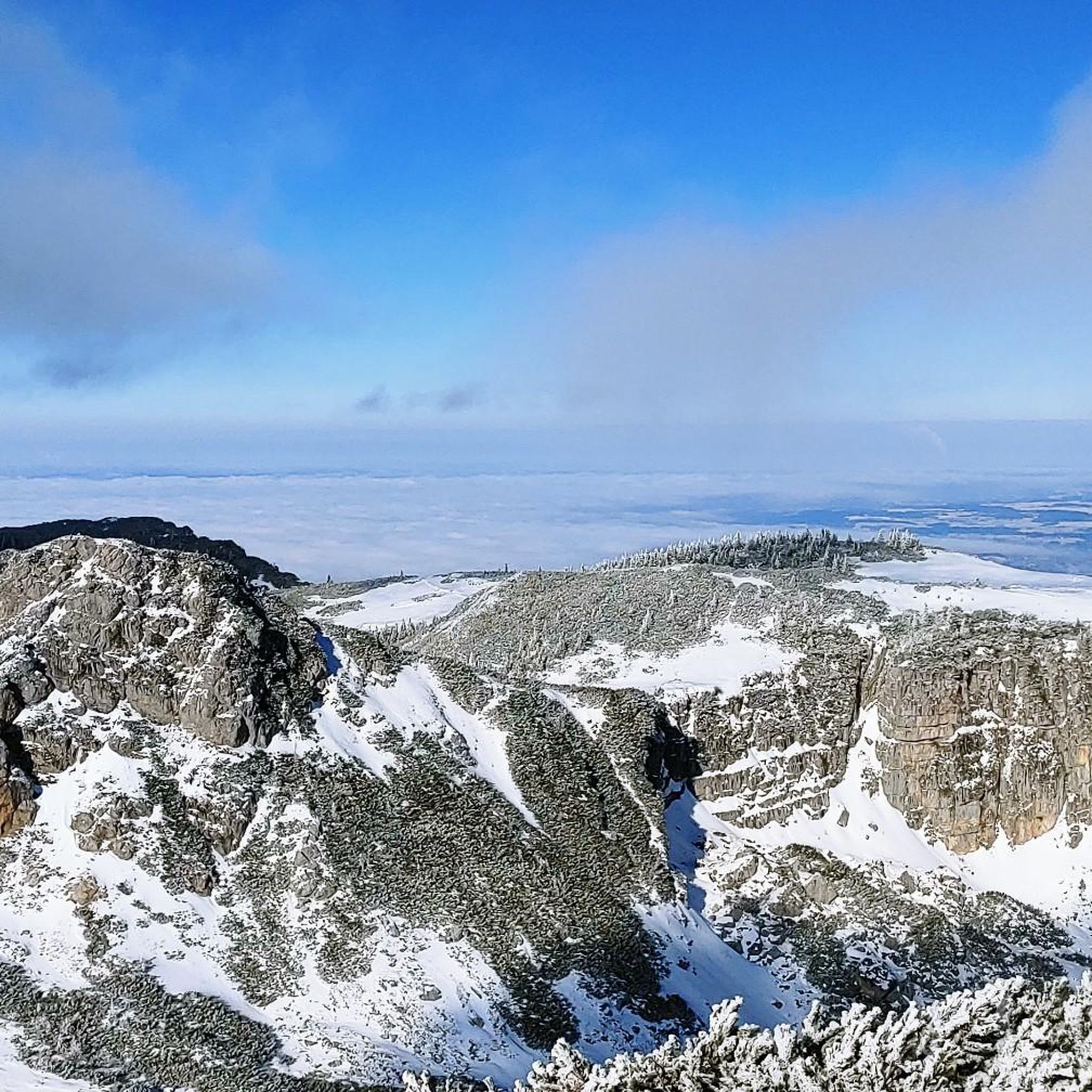
Road Cycling Routes around Geigelstein

Mountain Hikes around Geigelstein
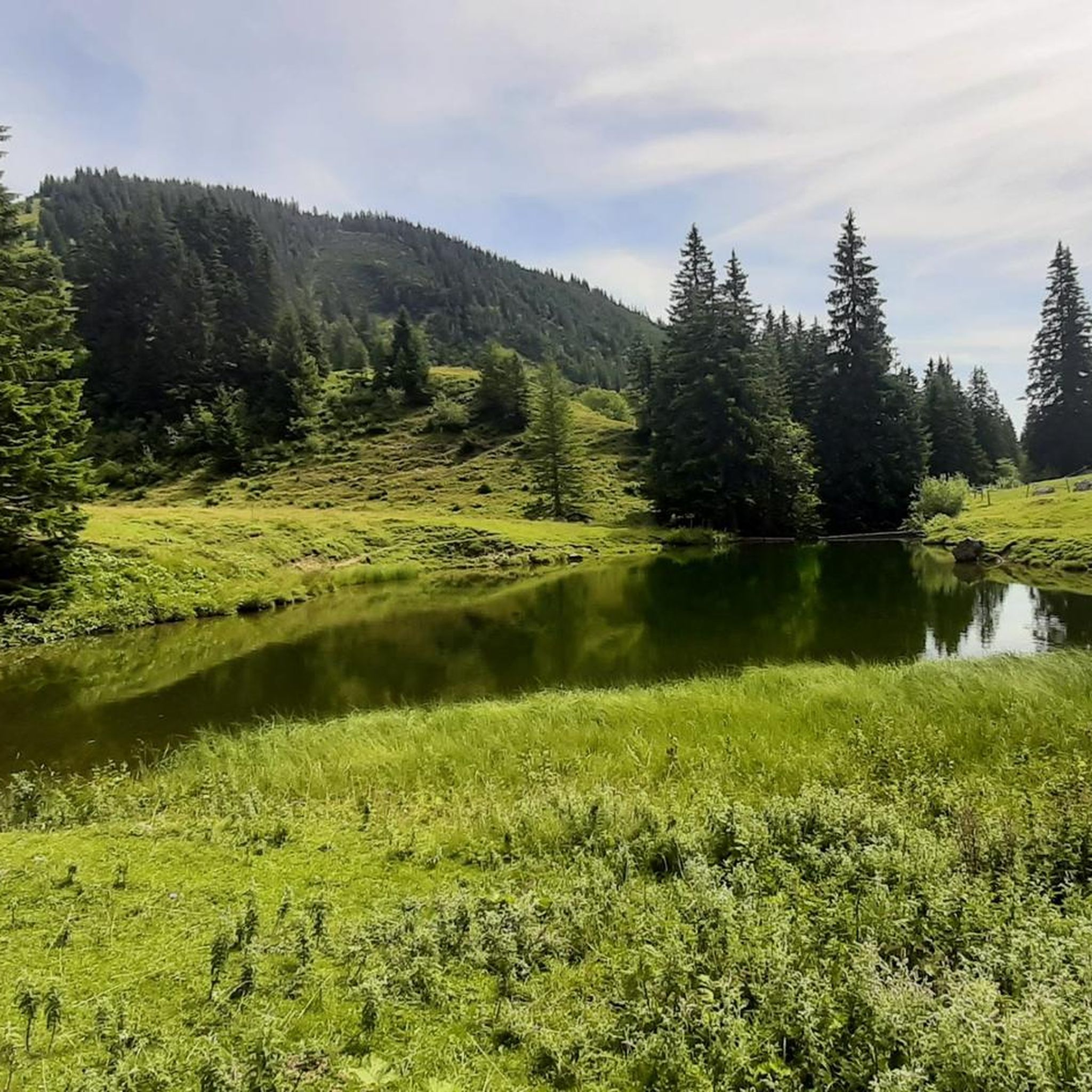
Cycling around Geigelstein
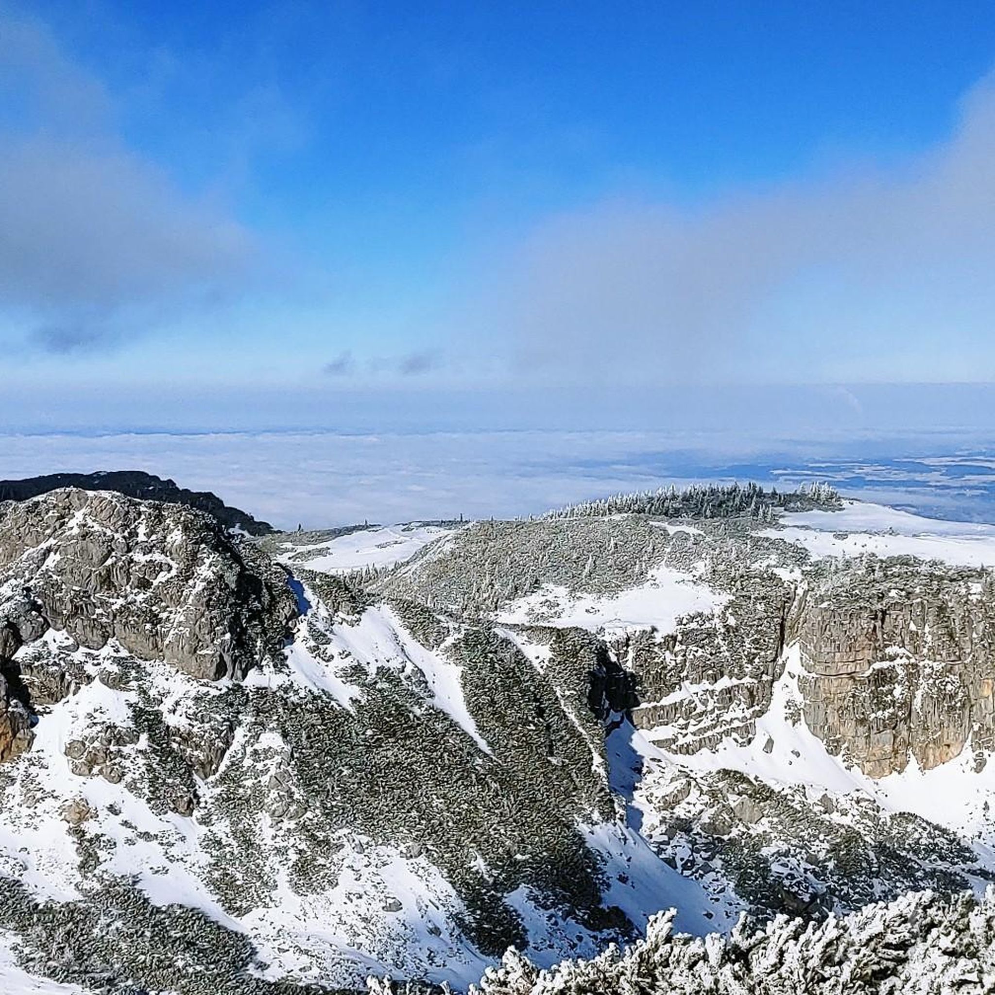
Running Trails around Geigelstein

Gravel biking around Geigelstein
Other adventures around Geigelstein


Tips from the Community

The rustic Haidenholzalm has been defying the weather for over two hundred years below the Weitlahnerkopf. From June to September, young cattle graze on the lush green pastures of the alm. During this time, the hut awaits you with coffee, cake, and simple meals with regional specialties.
1
0

At the Schreckalm there are detailed information panels about the Geigelstein area.
0
0


Alpine-typical snack, coffee and cake during the alpine pasture season (please note opening hours). Source: https://www.chiemsee-chiemgau.info/bike-und-hike-tour-ueber-die-haidenholz-alm-zum-weitlahner
1
0

as long as there is not much water just to come over
0
0

Chilled drinks for self-service at the Schreckalm
1
1
Frequently Asked Questions
How many hiking trails are available around Geigelstein?
Geigelstein offers a wide variety of hiking experiences, with over 50 routes available. These range from moderate ascents to challenging summit routes, ensuring options for various ability levels.
Are there easy hiking options in Geigelstein?
While Geigelstein is known for its more challenging terrain, there are a few easier routes available. For instance, you can find routes that explore the lower alpine meadows and forest paths, offering a gentler experience. Check komoot for specific easy-rated tours.
What are some challenging hikes around Geigelstein?
For experienced hikers seeking a challenge, Geigelstein offers several demanding routes. The Summit cross of Geigelstein – Priener Hut loop is a difficult 9.5-mile (15.3 km) path leading to the 1,808-meter summit with extensive panoramic views. Another challenging option is the Jägersteig Trail (Geigelstein Conservation Area), a 9.0-mile (14.5 km) route that follows a narrow, partly steep path through forests and over meadows.
Are there circular hiking routes in Geigelstein?
Yes, many of the trails around Geigelstein are designed as circular routes, allowing you to start and end at the same point. For example, the Priener Hut – Summit cross of Geigelstein loop offers a moderate 8.4-mile (13.5 km) circular hike.
What kind of natural features can I expect to see while hiking in Geigelstein?
Geigelstein, often called the 'Chiemgau Flower Mountain,' is renowned for its abundant alpine flora, with around 720 species of plants. Hikers will encounter diverse terrain, including dense forest paths, expansive alpine meadows, and rocky trails. From the summit, you'll be treated to extensive panoramic views of the Kaiser Mountains, Berchtesgaden Alps, Lake Chiemsee, and even the Großglockner on clear days.
Are there any notable landmarks or points of interest along the trails?
Absolutely. A primary attraction is the Summit cross of Geigelstein itself, offering unparalleled views. The Jägersteig Trail (Geigelstein Conservation Area) is a highlight for its scenic beauty. You might also encounter the Klausgraben gorge or the Breitenstein Summit.
Is Geigelstein suitable for family hikes?
Geigelstein offers varied terrain, and while some routes are challenging, there are options suitable for families. Look for trails with less elevation gain and shorter distances, particularly those exploring the alpine meadows. The area's natural beauty and diverse flora can make for an engaging experience for children.
Can I bring my dog on the hiking trails in Geigelstein?
Geigelstein is a designated nature reserve, so it's important to keep dogs on a leash to protect the sensitive alpine flora and wildlife. Many trails are dog-friendly, but always ensure your dog is well-behaved and that you clean up after them. Check specific route details on komoot for any restrictions.
Are there places to stop for refreshments or overnight stays on the trails?
Yes, the region has several charming alpine huts. The Priener Hut, situated at 1,410 meters, is a popular stop for refreshments, offering food and even self-baked wood-fired bread. It also provides rustic accommodation for overnight stays. Other huts like the Wirtsalm, Wuhrsteinalm, and Schreckalm are also found along various routes.
What is the best time of year to hike in Geigelstein?
The best time for hiking in Geigelstein is typically from late spring to early autumn (May to October), when the trails are clear of snow and the alpine flora is in full bloom. The area is particularly beautiful in summer when it lives up to its 'Chiemgau Flower Mountain' nickname. In winter, the region transforms, offering opportunities for ski touring and sledding, though specific routes may be closed or require special equipment.
What do other hikers enjoy most about hiking in Geigelstein?
The komoot community highly rates the hiking experience in Geigelstein, with an average score of 4.5 stars from over 13,000 reviews. Hikers frequently praise the extensive panoramic views from the peaks, the diverse alpine terrain, and the rich natural beauty, especially the abundant flora. The well-marked trails and the presence of welcoming alpine huts also contribute to the positive feedback.
Are there options for parking at the trailheads?
Yes, popular starting points for hikes around Geigelstein, such as the Geigelsteinbahn car park in Ettenhausen and routes from Schleching, typically offer parking facilities. It's advisable to check specific trailhead information on komoot for details on parking availability and any potential fees.
Can I reach Geigelstein trailheads using public transport?
While some trailheads might be accessible via local bus services, public transport options can be limited in mountainous regions. It's best to research specific routes and their starting points on komoot or local transport websites to plan your journey if you intend to use public transport.
Most popular routes around Geigelstein
Most popular attractions around Geigelstein

Get inspired with the komoot mobile app


Explore more
Browse the best Hikes in other regions.
