The best road cycling routes around Tordelrábano
46
riders
2
rides
Road cycling around Tordelrábano takes place within the Sierra Norte de Guadalajara, a mountainous region characterized by its natural surroundings and traditional architecture. The area features quiet rural roads that traverse mountains and cereal fields, offering expansive panoramic views. This landscape provides a serene environment for road cyclists seeking routes through traditional "serrana" architecture and native vegetation. The terrain includes varied elevations, typical of a mountainous rural setting.
Best road cycling routes around Tordelrábano
- The most popular road cycling route…
Last updated: July 11, 2026
6
riders
80.0km
03:47
1,010m
1,010m
Hard road ride. Very good fitness required. Some segments of this route may be unpaved and difficult to ride.
6
riders
Hard road ride. Very good fitness required. Some segments of this route may be unpaved and difficult to ride.

Sign up for free
22
riders
117km
05:29
1,480m
1,480m
Hard road ride. Very good fitness required. Some segments of this route may be unpaved and difficult to ride.
12
riders
99.1km
05:27
1,810m
1,810m
Hard road ride. Very good fitness required. Some segments of this route may be unpaved and difficult to ride.
Our route recommendations are based on thousands of hikes, rides, and runs completed by other people on komoot.
Start today with a free account
Your next adventure awaits.
Login or Signup
Popular around Tordelrábano

Tips from the Community

What to see 🧭 “El País de la Plata” Interpretation Center Interactive museum about local mining, open Saturdays and Sundays from 12:00 to 14:00. General admission approx. €2, free for residents and children under 14. ⛪ Santa Cecilia Parish Church 19th-century building constructed during the mining boom, with a single nave and a simple transept. 🏗️ Mining and Industrial Heritage More than 200 shafts/mines, such as Santa Catalina, Santa Teresa, Mala Noche, Fuerza, etc. Remains of ore-washing facilities like San Carlos, ruined industrial sites, and power plants.
4
0
A village in the Sierra Norte of Guadalajara, at an altitude of approximately 1,084 meters. Its origins are medieval, possibly predating the Bronze Age. The name derives from the Arabic Hisn al-Ancina (“castle of the holm oak”). In 1844, the discovery of silver triggered a “silver rush,” transforming Hiendelaencina into a major 19th-century mining district, with up to 200 mines and a population that reached 5,000. A parish church dedicated to Saint Cecilia was built between 1848 and 1851, financed with funds from the mining town.
4
0

Nice area for hiking and mountain biking trails
0
0
Nice area for hiking and mountain biking trails
0
0
Ideal places for mountain biking and hiking routes
0
0

Good place to stop, get some water or go into the bar for a drink. Abundant tapas.
0
0
Border between the two Castillas Soria and Guadalajara, and some beautiful views
0
0
Frequently Asked Questions
How many road cycling routes are available around Tordelrábano?
Komoot offers 5 distinct road cycling routes around Tordelrábano. These routes traverse the Sierra Norte de Guadalajara, providing a variety of experiences through mountainous terrain and cereal fields.
What is the typical terrain and difficulty for road cycling in this region?
Road cycling around Tordelrábano is characterized by quiet rural roads, mountainous terrain, and expansive cereal fields. The routes feature varied elevations, typical of a rural mountain setting, and are generally considered difficult due to significant elevation gains.
Are there any circular road cycling routes in the area?
Yes, several routes are circular. For example, the From Atienza to Marquezado de Berlanga — circular via the Castillo de Atienza offers a 49.7-mile loop, and the Sierra de Pela y Sierra de Bulejo - Archaeological Site of Tiermes — circular from Atienza is a challenging 62.2-mile circular path.
What kind of landmarks or points of interest can I expect to see along the road cycling routes?
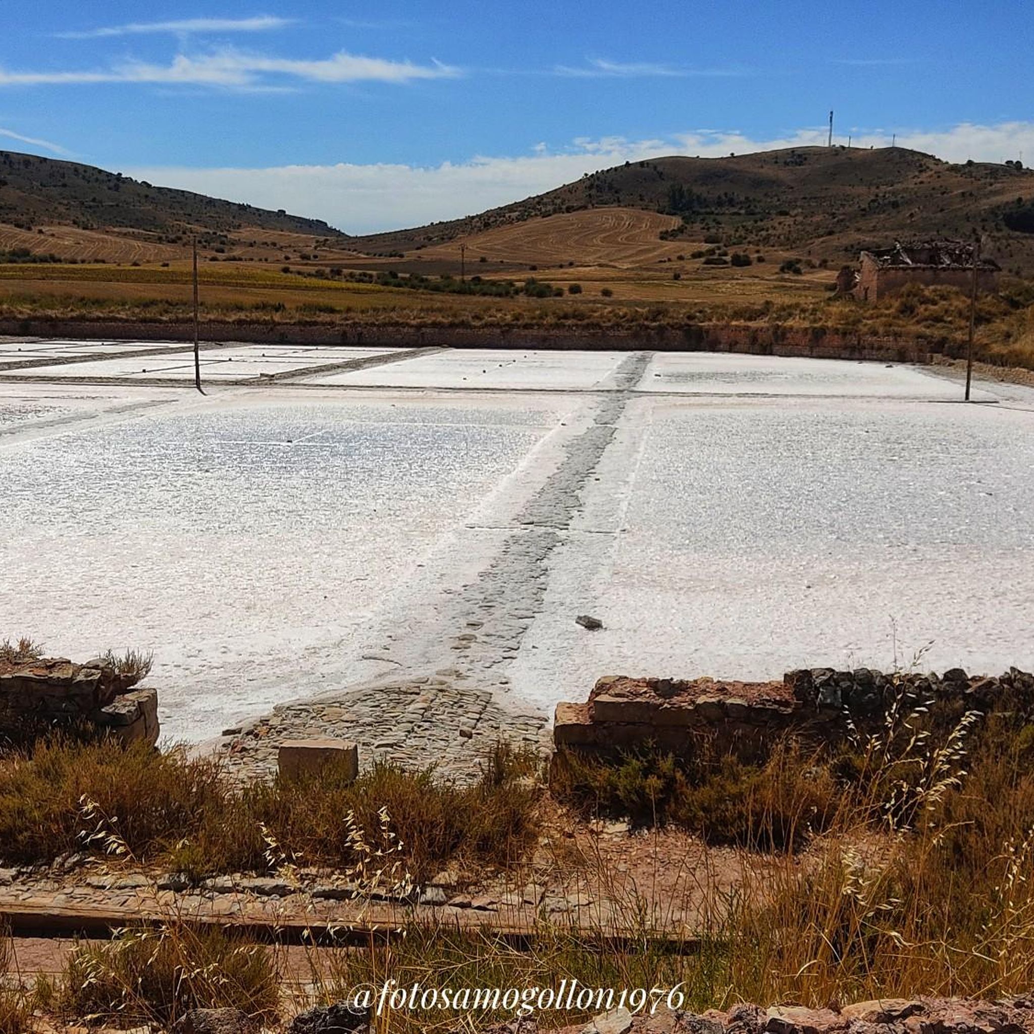
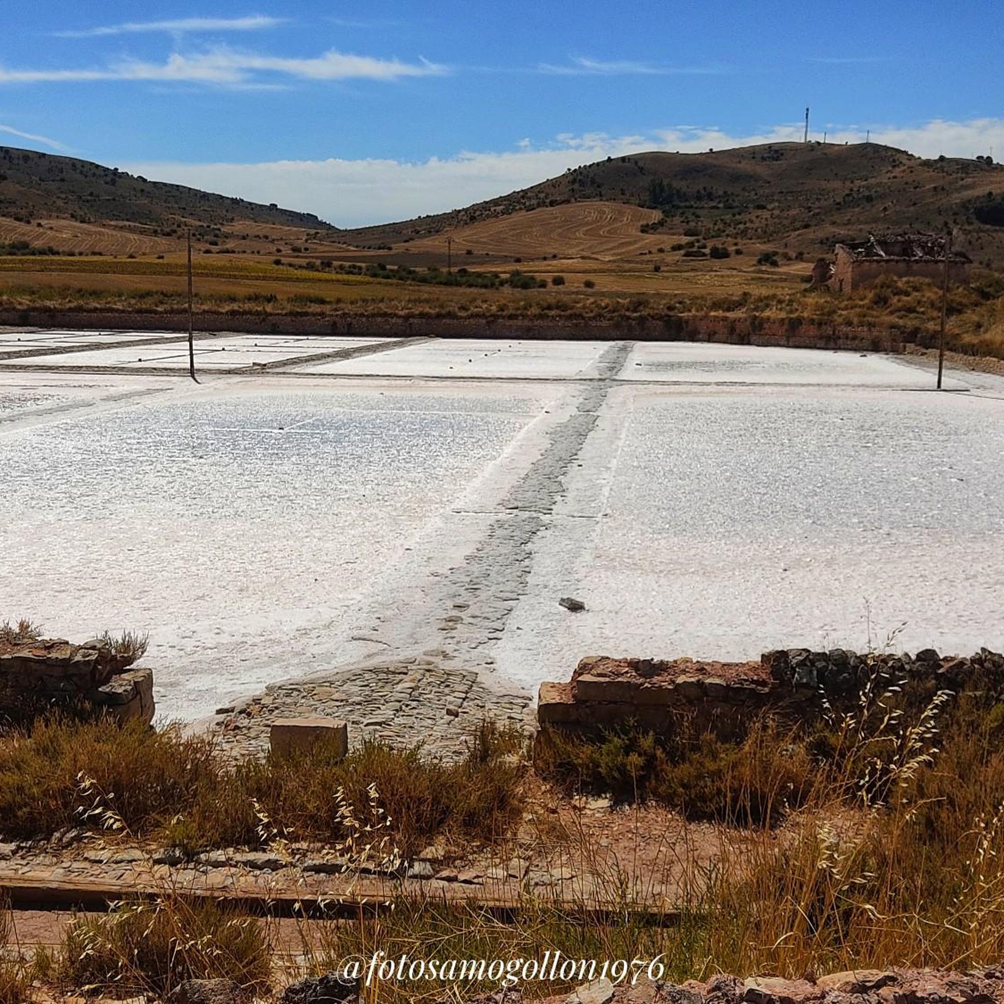
The routes often pass through areas rich in history and natural beauty. You might encounter historical sites like the Castle of Atienza or explore the Highlights of Atienza Village. Other notable features include the Salinas de Imón, the Roman Fountain by San Bartolomé Church, and the Stone Bridge of Riba de Santiuste.
What is the best time of year for road cycling in Tordelrábano?
Given the region's mountainous character and rural setting, spring and autumn generally offer the most pleasant conditions for road cycling, with milder temperatures and beautiful seasonal landscapes. Summers can be hot, while winters may bring colder weather and potential for snow at higher elevations.
Are there any long-distance road cycling routes available?
Yes, the routes in this area tend to be longer. For instance, the Castle of Atienza – Sigüenza Castle loop from Cerro Grande is a substantial 72.5-mile (116.7 km) trail, typically completed in about 5 hours 28 minutes, offering varied terrain.
What are the options for parking when cycling in Tordelrábano?
As Tordelrábano is a small, tranquil municipality, parking is generally available within the village itself, particularly near its central areas. However, specific designated cyclist parking facilities are not widely detailed. It's advisable to look for public parking spaces upon arrival.
Is public transport available to reach Tordelrábano for cyclists?
Tordelrábano is a remote village in the Sierra Norte de Guadalajara. Public transport options are limited, typically involving regional bus services that may not be frequent or directly connect major cities. Cyclists should research specific bus routes and schedules in advance, as carrying bicycles on these services can also be restricted.
What kind of accommodation or facilities are available for cyclists in Tordelrábano?
Tordelrábano is known for its rural tranquility and traditional architecture. While it's not a major cycling hub, you may find small rural guesthouses or casas rurales that offer a peaceful stay. Options for cafes or pubs are limited within the tiny village itself, so planning for provisions is recommended, especially for longer rides.
What makes road cycling in Tordelrábano unique?
Road cycling in Tordelrábano offers a unique blend of serene rural landscapes, traditional 'serrana' architecture, and quiet roads through the Sierra Norte de Guadalajara. It provides an escape from urban hustle, allowing cyclists to experience authentic rural Spain with expansive panoramic views that change with the seasons.
Are there any routes that explore specific natural areas?
Yes, the Sierra de Pela y Sierra de Bulejo - Archaeological Site of Tiermes — circular from Atienza route specifically explores the Sierra de Pela and Sierra de Bulejo regions, offering cyclists a chance to immerse themselves in these natural environments.
Most popular routes around Tordelrábano
Most popular attractions around Tordelrábano

Get inspired with the komoot mobile app


Explore more
Browse the best Road cycling routes in other regions.
