The best walks and hikes around Ferreras De Abajo
4.8
(4)
26
hikers
10
hikes
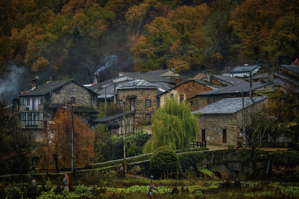
Hiking around Ferreras De Abajo offers access to rural landscapes characterized by gentle hills, agricultural fields, and river valleys. The region features a network of paths, including sections of historical routes and local trails. These routes often traverse open countryside, connecting small villages and offering views of the surrounding terrain.
Best hiking trails around Ferreras De Abajo
- The most popular hiking route is Castros de Castillan y Valdemera — circular desde Ferreras de Arriba, a 5.2 miles (8.4 km)…
Last updated: July 4, 2026
2
hikers
8.44km
02:27
240m
250m
Moderate hike. Good fitness required. Easily-accessible paths. Suitable for all skill levels.
8.72km
02:20
40m
50m
Moderate hike. Good fitness required. Mostly accessible paths. Sure-footedness required.

Sign up for free
14.8km
04:00
190m
190m
Moderate hike. Good fitness required. Mostly accessible paths. Sure-footedness required.
4.8
(4)
15
hikers
Hard hike. Very good fitness required. Easily-accessible paths. Suitable for all skill levels.
2
hikers
5.31km
01:25
60m
60m
Easy hike. Great for any fitness level. Easily-accessible paths. Suitable for all skill levels.
Get access to more routes and recommendations from other explorers.
Sign up for free
Already have an account?
Our route recommendations are based on thousands of hikes, rides, and runs completed by other people on komoot.
Start today with a free account
Your next adventure awaits.
Login or Signup
Other adventures around Ferreras De Abajo

Tips from the Community

Tábara is a Spanish municipality of about 830-950 inhabitants located in the province of Zamora, within the autonomous community of Castile and León. This small village stands at an altitude of 749 meters and is the capital of the Tierra de Tábara comarca. It represents a center of great historical-cultural importance, as well as being a fundamental stop for pilgrims traveling the Camino Sanabrésl
1
0

Tábara, located in the northwest of the province of Zamora (Castilla y León), is a town with a rich medieval history, a stunning natural setting, and a significant cultural heritage. Origins: These date back to the Bronze Age and Roman period. Middle Ages: It was an important monastic center with the Monastery of San Salvador de Tábara, founded by Saint Froilán in the 9th century at the behest of Alfonso III.
10
0

another example of a corral restored a few years ago
1
0
wonderful enclave with traditional corals
1
0

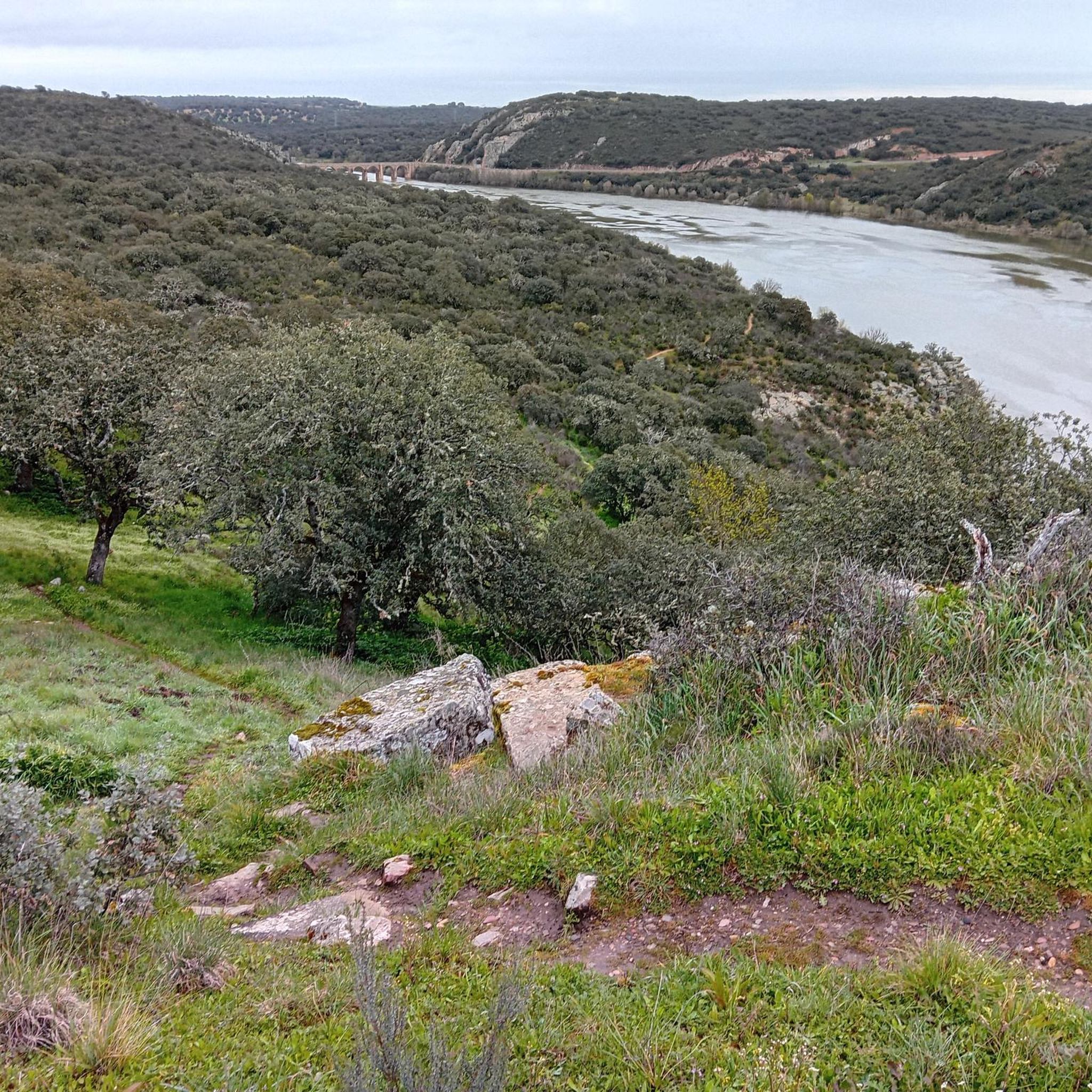
This is the third and last reservoir in this area of the Tera river, which previously crosses two more to reach this dam. From this point the river continues until it joins the Río Esla.
0
0

Beautiful hiking route along the Tera River towards the Agavanzal reservoir. The Tera Valley is an incredibly important natural landscape.
2
0

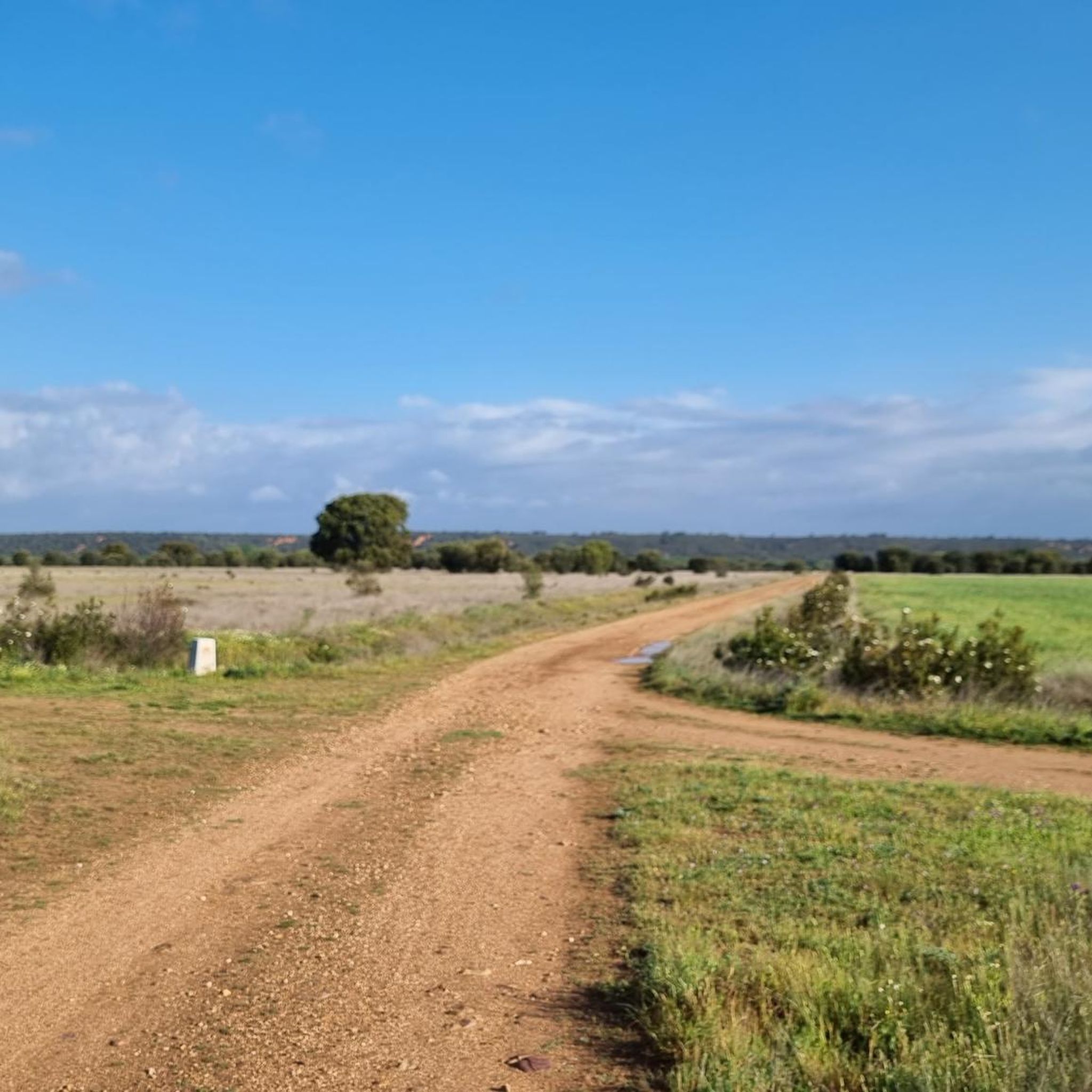
This is a nice section of dirt road that is perfect for a mountain bike and can be done on a gravel bike. As you go a bit further down the trail, the views get better.
0
0
The damming of the Tera River creates this beautiful reservoir. From one side of the dam you can see the reservoir and from the other you can see the river valley below. Nice views.
0
0
Frequently Asked Questions
How many hiking trails are available around Ferreras De Abajo?
There are 10 hiking routes recorded on komoot around Ferreras De Abajo, offering a variety of experiences through rural landscapes and river valleys.
Are there easy hiking trails suitable for beginners or families in Ferreras De Abajo?
Yes, Ferreras De Abajo offers 3 easy hiking trails. A good option for a relaxed walk is the Abejera Shoeing Frame loop from Abejera, which is 5.3 km long and takes about 1 hour 24 minutes to complete.
What kind of terrain can I expect on hikes in Ferreras De Abajo?
The hiking trails in Ferreras De Abajo typically traverse rural landscapes characterized by gentle hills, agricultural fields, and river valleys. You'll often find yourself on open countryside paths, connecting small villages.
Are there any circular walks available in Ferreras De Abajo?
Yes, many routes in the area are circular. For example, the Castros de Castillan y Valdemera — circular desde Ferreras de Arriba is a moderate 8.4 km loop that explores historical hillforts.
What are some interesting places to explore or landmarks to see near the hiking trails?
While hiking, you might encounter several points of interest. You could visit the historic Church of Santa Marta de Tera or enjoy the scenery around the Nuestra Señora del Agavanzal Reservoir.
Are there any longer or more challenging hikes for experienced hikers?
Yes, there are 2 difficult trails for those seeking a greater challenge. The Tábara – View of the Countryside loop from Chano la Devesica is a demanding 23.4 km route, typically taking over 6 hours to complete.
What do other hikers enjoy most about hiking in Ferreras De Abajo?
The komoot community rates the routes in Ferreras De Abajo with an average score of 4.0 stars. Hikers often appreciate the peaceful rural settings and the opportunity to explore traditional landscapes.
Are there any trails that follow historical routes?
Yes, some trails incorporate historical paths. The Camino Sanabrés: Olleros de Tera Loop, for instance, follows a section of the historic Camino Sanabrés, offering views of the Tera river valley.
Can I find places to rest or have a picnic along the trails?
Yes, there are facilities available. For example, you can find a dedicated Picnic Area by the River, perfect for a break during your hike.
What is the typical duration for hikes in this region?
Hikes in Ferreras De Abajo vary in length and duration. Easy trails can be completed in under 2 hours, while moderate routes like the Route of the Corrals (PR-ZA 3) might take around 4 hours. Longer, more difficult routes can extend to over 6 hours.
Are there any specific trails that showcase the traditional rural aspects of Ferreras De Abajo?
The Route of the Corrals (PR-ZA 3) is an excellent choice, as it leads through rural landscapes and past traditional corrals, offering a glimpse into the area's agricultural heritage.
Most popular attractions around Ferreras De Abajo

Get inspired with the komoot mobile app


Explore more
Browse the best Hikes in other regions.
