The best mountain hikes around Amurrio
5.0
(1)
29
hikers
2
hikes
Mountaineering around Amurrio offers routes through the mountainous terrain of the Aiarako kuadrilla/Cuadrilla de Ayala region. The landscape is characterized by significant peaks like Gorbeia, natural monuments, and various viewpoints. These routes often feature a mix of forest paths and open mountain trails, providing diverse environments for exploration. The area's topography includes notable elevation changes, making it suitable for different levels of mountaineering experience.
Best mountaineering routes around Amurrio
- The most popular mountaineering route is Gorbeia loop from Itxinako natura…
Last updated: July 1, 2026
5.0
(1)
23
hikers
12.7km
04:52
660m
660m
Moderate mountaineering route. Good fitness required. Mostly accessible paths. Sure-footedness required.
2
hikers
Easy mountaineering route. Great for any fitness level. Easily-accessible paths. Suitable for all skill levels.

Sign up for free
2
hikers
Moderate mountaineering route. Good fitness required. Mostly accessible paths. Sure-footedness required.
2
hikers
15.3km
04:50
590m
590m
Moderate mountaineering route. Good fitness required. Easily-accessible paths. Suitable for all skill levels.
Our route recommendations are based on thousands of hikes, rides, and runs completed by other people on komoot.
Start today with a free account
Your next adventure awaits.
Login or Signup

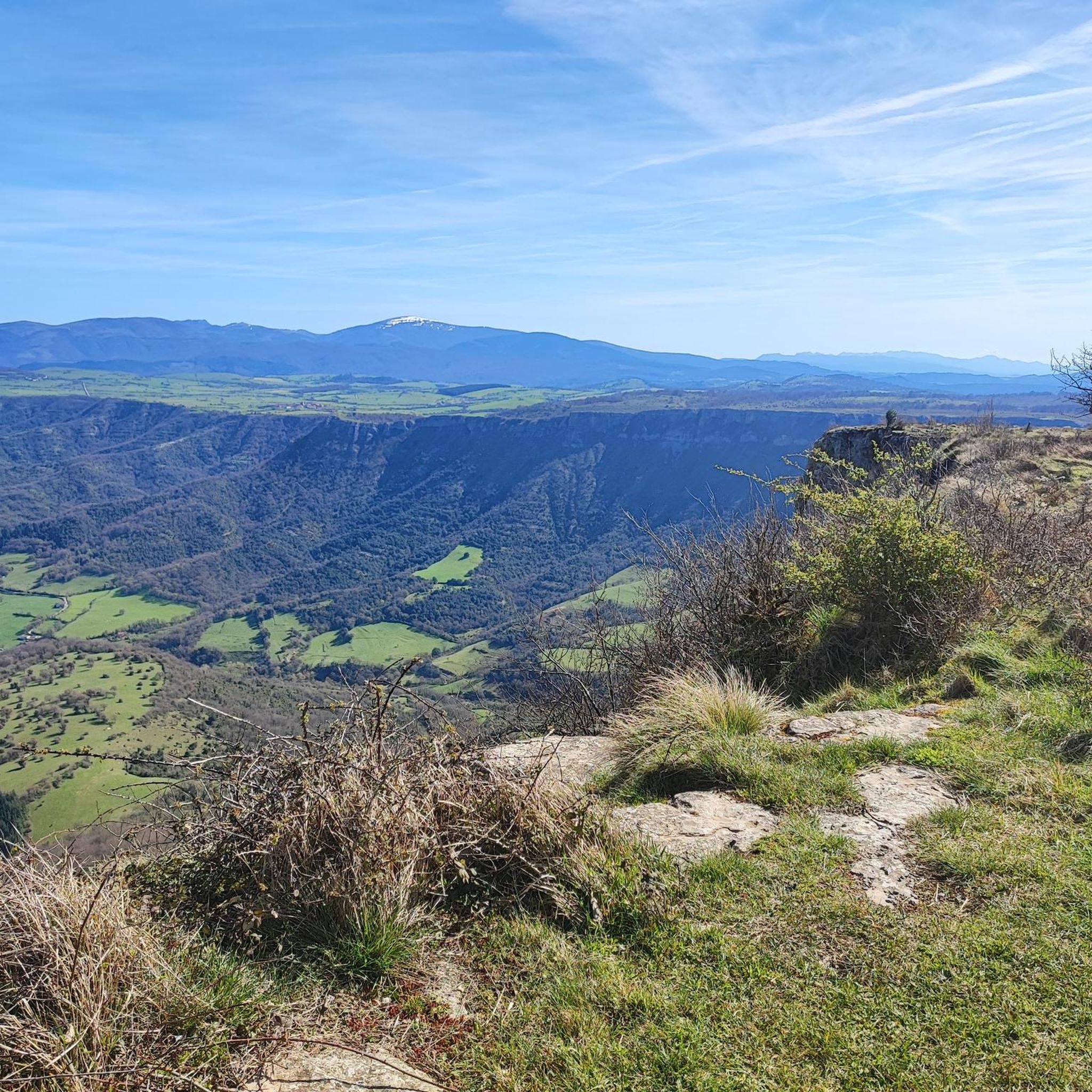
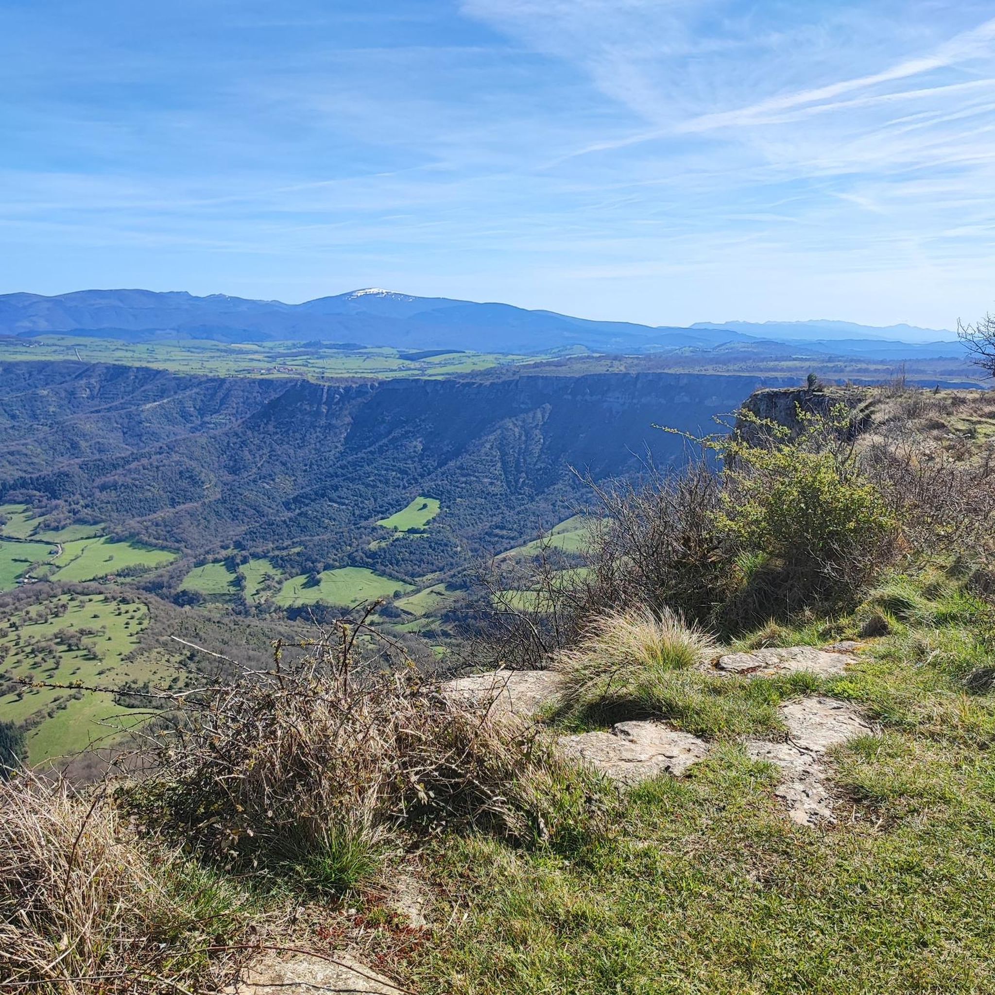
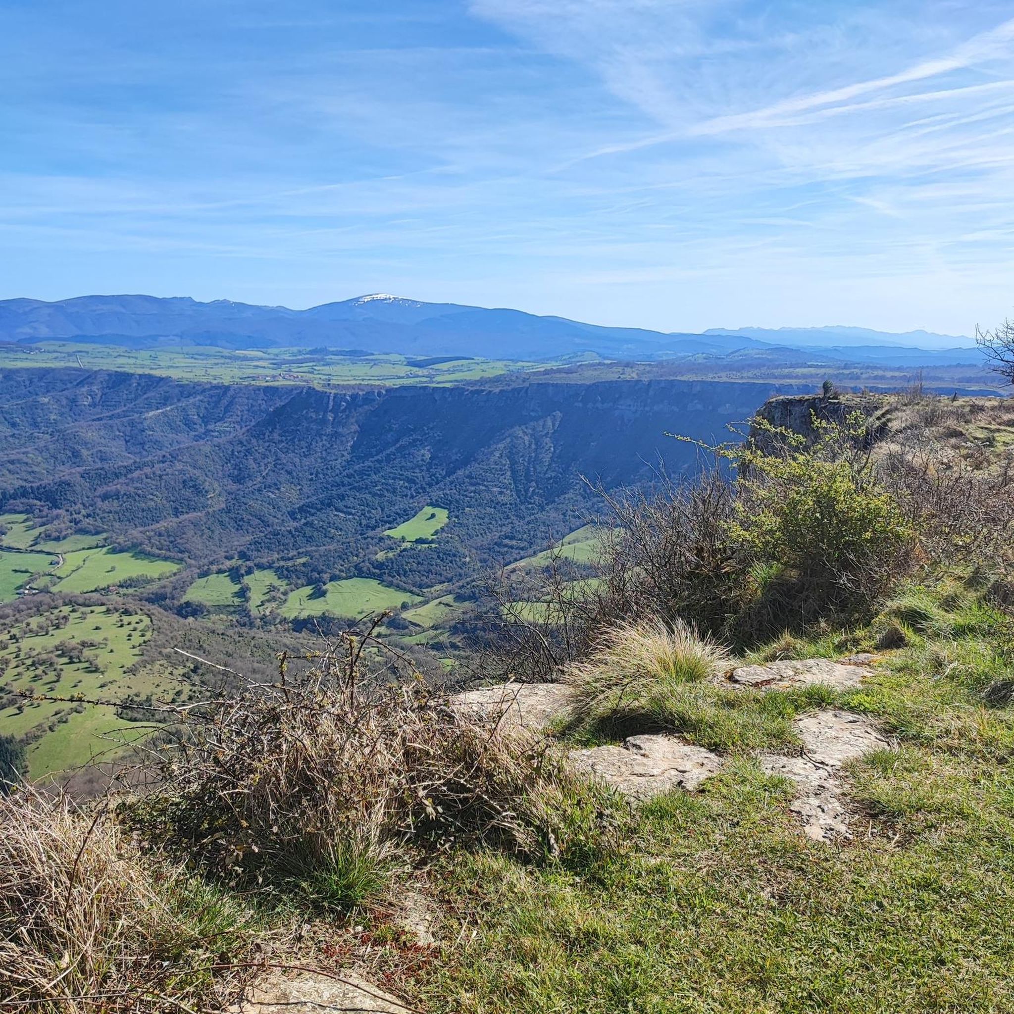
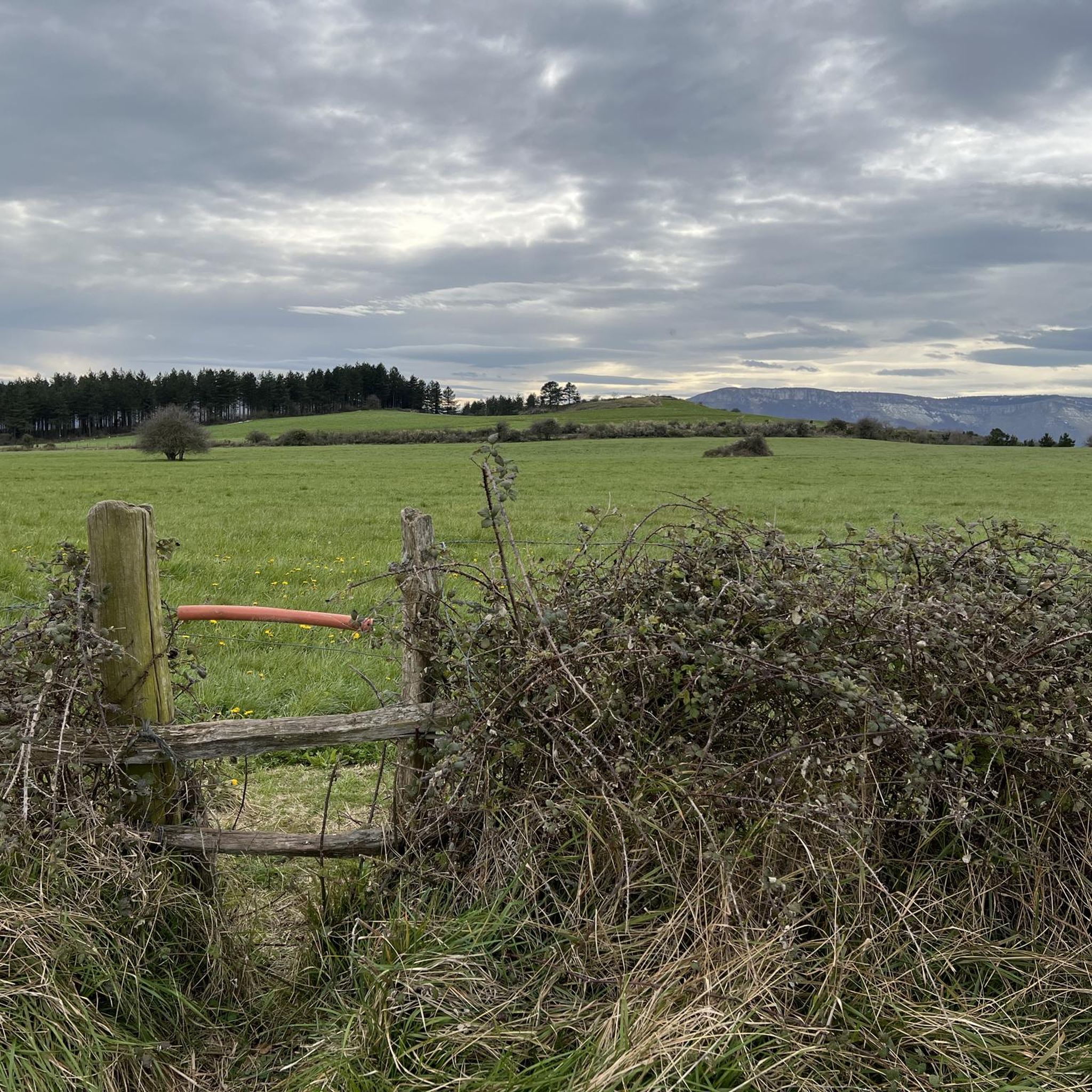

Other adventures around Amurrio

Tips from the Community

The 17 m high summit cross was erected in 1907. The ascent from the reservoir is easily accessible.
1
0

A fantastic waterfall, if the Rio Nervión is flowing. If not, the viewpoint is still spectacular.
2
0

Unfortunately, the Nervión has no water today, 2.5.25, so the spectacular waterfall was only a viewpoint in the canyon
4
0


As long as you don't get 5 mastiffs...
0
0

Views of the valley where the Nervión River runs on its way to Bilbao, with Orduña in the background.
1
0

Good complement when you go to or return from Marinda.
1
0
One of the most "pyramidal" mountains in the area.
2
0
Frequently Asked Questions
How many mountaineering routes are available around Amurrio?
There are several mountaineering routes in the Amurrio area, offering diverse experiences through the mountainous terrain of the Aiarako kuadrilla/Cuadrilla de Ayala region. Currently, komoot features 2 distinct routes for mountaineering.
Are there any easy mountaineering routes suitable for beginners in Amurrio?
Yes, Amurrio offers easy mountaineering options. A great choice for beginners is the Esquina de Rubén Viewpoint – Salto del Nervión Viewpoint loop from Monumento Natural del Monte Santiago. This 4.0-mile (6.4 km) path provides access to notable viewpoints and natural monuments with minimal difficulty.
What are some challenging mountaineering routes for experienced hikers?
For those seeking a more challenging experience, the region offers routes with significant elevation gain. Consider the Gorbeia loop from Itxinako natura monumentua, a 7.8-mile (12.5 km) trail that takes nearly 5 hours to complete and features substantial ascents through a prominent natural area.
Are there circular mountaineering routes in Amurrio?
Many of the mountaineering routes around Amurrio are designed as loops, allowing you to start and end at the same point. For example, the Kamaraka – Mugarriluze loop from Ermuko Andre Mariaren santutegia is a 4.5-mile (7.3 km) trail that leads through varied terrain in a circular fashion.
What kind of natural attractions can I expect to see along the routes?
The routes often feature natural monuments and scenic viewpoints. You can discover impressive waterfalls like the Nervión Waterfall and the Gujuli Waterfall. There are also stunning vistas such as the Trees above the abyss and various other viewpoints offering panoramic views of the landscape.
Are there any significant summits or peaks to explore?
Yes, the region is characterized by significant peaks. You can find highlights like the Gorbea Summit, which is a prominent feature in the area, and enjoy views of the Pico del Fraile.
What do other mountaineers enjoy most about the Amurrio area?
The Amurrio area is highly rated by the komoot community, with an average score of 4.0 stars. Mountaineers often praise the diverse environments, from forest paths to open mountain trails, and the presence of natural monuments and scenic viewpoints that define the region's unique character.
What is the best season for mountaineering in Amurrio?
The mountainous terrain around Amurrio can be enjoyed across various seasons. Spring and autumn offer pleasant temperatures and vibrant landscapes, while summer provides longer daylight hours. Winter mountaineering is possible but requires appropriate gear and awareness of changing conditions.
Are there any longer mountaineering routes for full-day excursions?
For a longer day out, consider routes that cover more ground and elevation. The Los Cotorricos – Marinda loop from Anda is a moderate 9.5-mile (15.3 km) route that offers a substantial journey through the region's varied landscapes.
What kind of wildlife and flora can be observed in the Amurrio mountains?
The natural areas around Amurrio, including the Gorbeia Natural Park, are rich in biodiversity. You can expect to see a variety of native flora, including beech and oak forests, and potentially spot wildlife such as deer, wild boar, and various bird species, especially in quieter sections of the trails.
Are there any cafes or pubs near the mountaineering trailheads in Amurrio?
While specific cafes directly at every trailhead might be limited, the town of Amurrio and nearby villages offer various establishments where you can find refreshments and meals before or after your mountaineering adventure. It's advisable to check local listings for options closest to your chosen starting point.
Is there public transport access to the mountaineering areas around Amurrio?
Public transport options to the more remote mountaineering trailheads can be limited. While Amurrio itself is accessible by train and bus, reaching specific starting points for routes often requires a car. It's recommended to check local bus schedules or consider carpooling for easier access to the mountains.
Most popular routes around Amurrio
Most popular attractions around Amurrio

Get inspired with the komoot mobile app


Explore more
Browse the best Mountain Hikes & Routes in other regions.
