The best running trails around Berzosa Del Lozoya
4.3
(3)
403
runners
34
runs
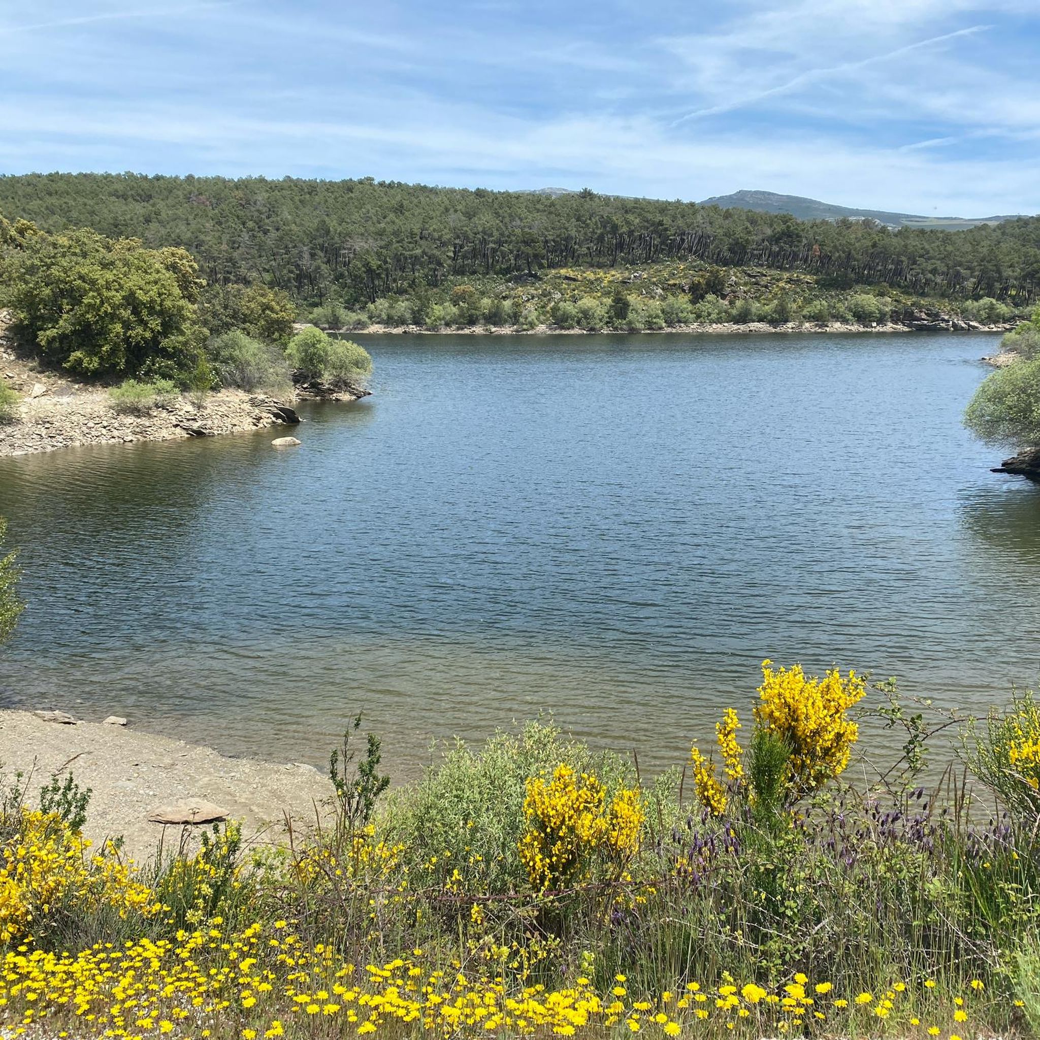
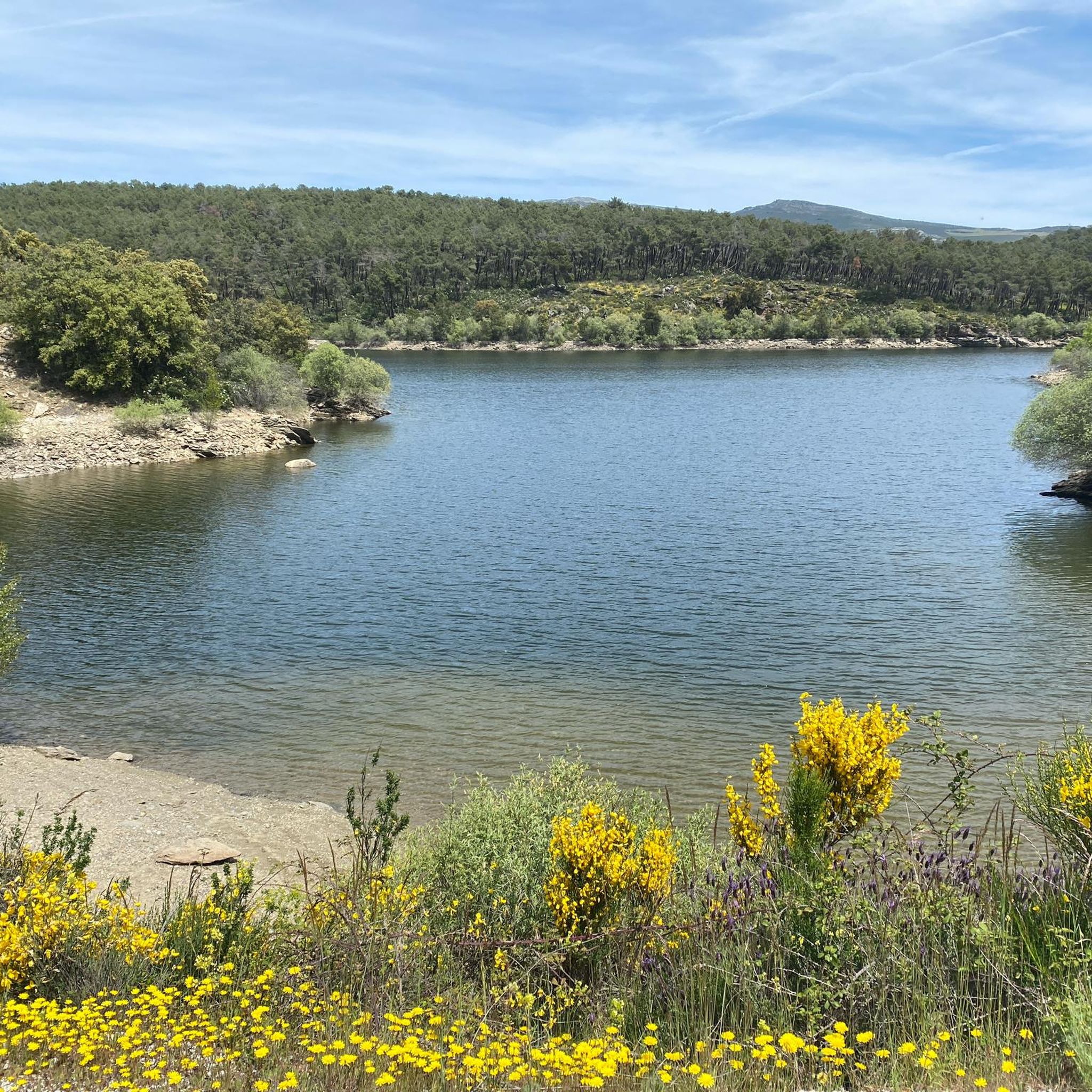
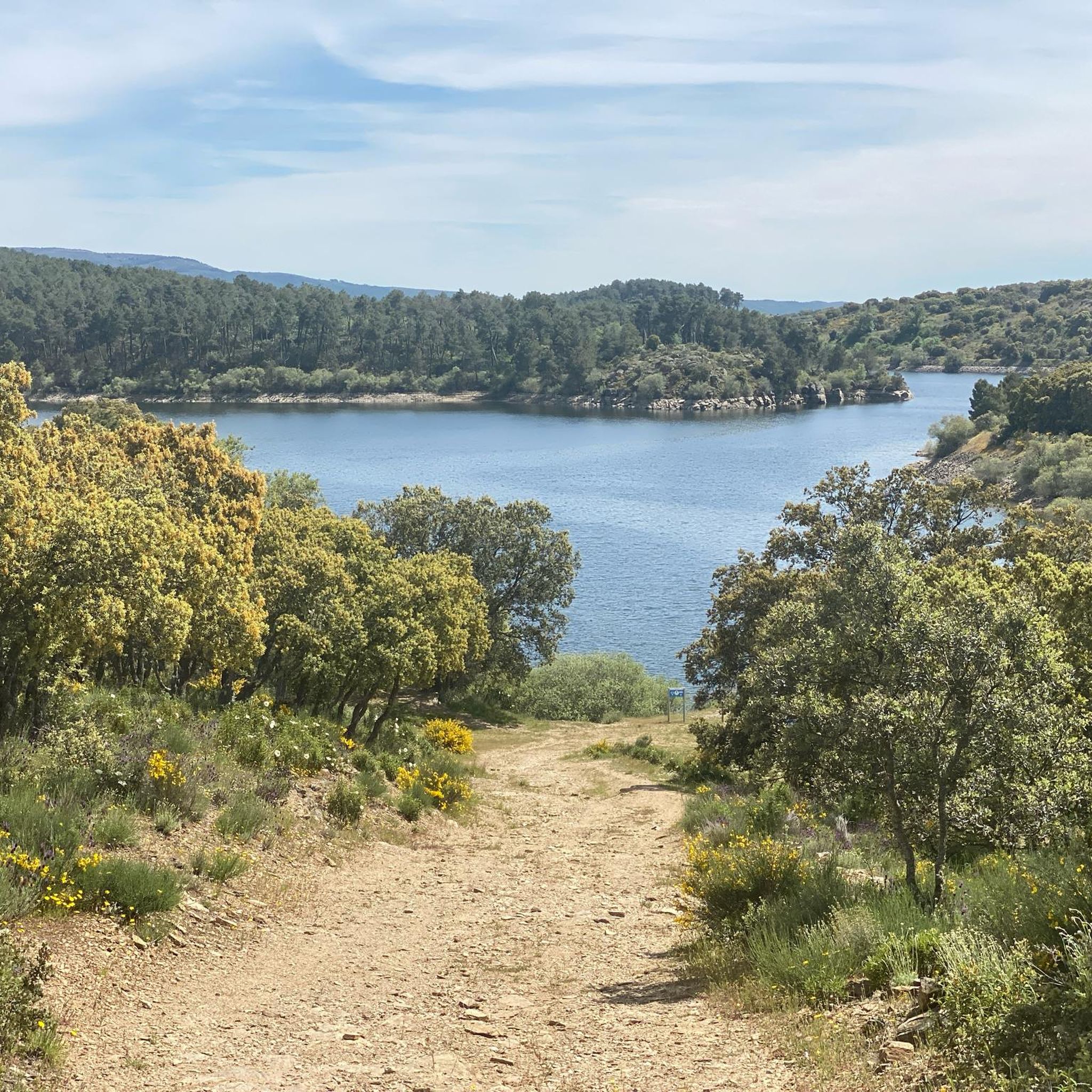
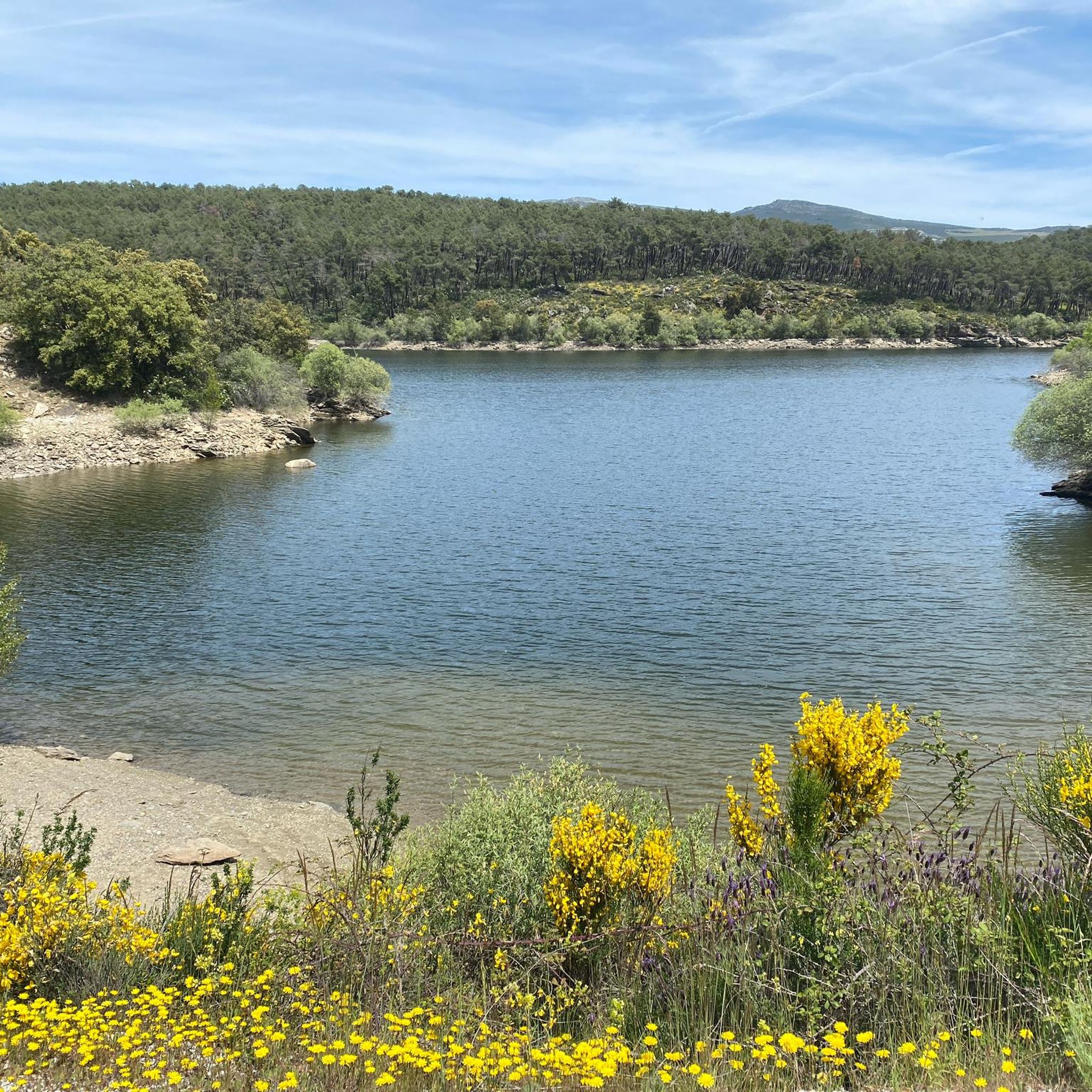
Jogging routes around Berzosa Del Lozoya are set within the scenic Lozoya Valley, offering diverse terrain for runners. The region is characterized by its altitude of approximately 1,100 meters, providing panoramic views, and is surrounded by rivers and several significant reservoirs like El Atazar and El Villar. Joggers will find varied landscapes, including forests of pine, ash, and Montpellier maple, alongside distinctive geological features such as quartzites and slates forming irregular topographies.
Best jogging routes around Berzosa Del Lozoya
- The…
Last updated: July 11, 2026
109
runners
24.2km
03:24
880m
880m
Hard run. Very good fitness required. Sure-footedness, sturdy shoes and alpine experience required.
5.0
(1)
57
runners
11.1km
01:23
250m
250m
Moderate run. Good fitness required. Mostly paved surfaces. Suitable for all skill levels.

Sign up for free
26
runners
34.5km
05:22
1,440m
1,440m
Hard run. Very good fitness required. Sure-footedness, sturdy shoes and alpine experience required.
14
runners
12.3km
01:52
500m
500m
Hard run. Very good fitness required. Sure-footedness, sturdy shoes and alpine experience required.
7
runners
12.7km
01:23
170m
170m
Moderate run. Good fitness required. Mostly paved surfaces. Suitable for all skill levels.
Get access to more routes and recommendations from other explorers.
Sign up for free
Already have an account?
Our route recommendations are based on thousands of hikes, rides, and runs completed by other people on komoot.
Start today with a free account
Your next adventure awaits.
Login or Signup

Tips from the Community

After the effort of the climb you get the reward of satisfaction.
0
0

The climb from Cuadrón towards Garganta de los Montes is the toughest slope.
0
0
In the Middle Ages, the inhabitants of Bustarviejo had to pay a “toll” of half a bushel to use this pass to carry grain to be ground at the water mills in the Lozoya Valley. Hence the name of this pass. From the pass we can see the Carpetanos Mountains of Somosierra, part of the Lozoya Valley and the entire Sierra Norte of Madrid.
1
0
A hill that separates the Sierra de la Cabrera from the Sierra de Canencia
0
0

At the end of the Medio Celemín pass we find this rock formation, with views of all the Cabrera cliffs. ideal to rest and take some photos
0
0
From the port we will see the Carpetanos Mountains of Somosierra, part of the Lozoya Valley and the entire Sierra Norte of Madrid. This small hill separates Garganta from the Montes de Valdemanco and you will find it before climbing Medio Celemín
0
0

Mountain pass located north of Valdemanco in the Cañada Real Segoviana that runs between the Sierra de la Cabrera and the Sierra de Canencia. Large place to enjoy the landscape and rest briefly before beginning the descent.
1
0

This town of just over 100 inhabitants owes its name to the number of oaks and cistus that populate the area. Within its municipal term is the unpopulated area of El Villar (from which one of the Lozoya reservoirs takes its name). However, currently nothing remains of this place.
2
0
Frequently Asked Questions
How many running routes are available around Berzosa Del Lozoya?
There are over 35 running routes in the Berzosa Del Lozoya area, offering a wide variety of options for different skill levels and preferences. The komoot community has explored these trails over 400 times.
What do other runners enjoy most about the trails in Berzosa Del Lozoya?
The running routes in Berzosa Del Lozoya are highly rated by the komoot community, with an average score of 4.0 stars. Runners frequently praise the picturesque Lozoya Valley, the serene reservoirs, and the diverse forest trails that define the area's natural beauty.
Are there easy running trails suitable for beginners in Berzosa Del Lozoya?
Yes, while the region offers many challenging routes, there are also options suitable for beginners. You'll find 1 easy route and 16 moderate routes among the total, providing gentler terrain to enjoy the scenic landscapes.
Are there any circular running routes in Berzosa Del Lozoya?
Many of the routes in the area are circular, allowing you to start and finish in the same location. For example, the Cerro Perdigón loop from Lozoyuela and the Cerro Perdigón Pass loop from Lozoyuela are popular circular options. The Dehesa de Berzosa del Lozoya also features a notable circular route for stretching your legs and enjoying panoramic views.
What natural features or landmarks can I see along the running routes?
The routes offer stunning natural scenery. You can expect to see the Lozoya Valley and River, several reservoirs like El Atazar Reservoir and El Villar Reservoir, and diverse forests of pine, ash, and Montpellier maple. Notable viewpoints include Views of the Lozoya River and Vultures' Viewpoint.
Are there any specific viewpoints or scenic spots along the running trails?
Absolutely. The region is known for its panoramic views. The Dehesa de Berzosa del Lozoya offers excellent high vantage points of the Sierra Norte de Madrid and nearby reservoirs. You can also find specific highlights like Views of the Lozoya River and Vultures' Viewpoint, which provide breathtaking vistas.
What is the typical length of running trails near Berzosa Del Lozoya?
The running trails vary significantly in length. You'll find routes ranging from moderate distances like the Cerro Perdigón Pass loop from Lozoyuela at 11.1 km, to much longer and more challenging runs such as the Cerro Porrejón – Peña Parda loop from Robledillo de la Jara, which spans 34.2 km.
Are there running routes that pass by reservoirs?
Yes, the area is home to several significant reservoirs, and many routes offer picturesque jogs along their banks. You can find trails around El Atazar Reservoir, El Villar Reservoir, and Puentes Viejas, providing captivating vistas and often less strenuous paths.
Are there any facilities or recreational areas near the running trails?
Yes, the village provides recreational zones like the Zona Polideportiva and Parque del Olivo. These areas offer facilities such as picnic tables, fountains, and sports courts, and can serve as convenient starting points or rest stops for runners. The Zona Polideportiva, in particular, boasts impressive panoramic views.
What kind of terrain can I expect on the running routes in Berzosa Del Lozoya?
The terrain is quite varied, reflecting the region's diverse geology. You'll encounter paths through forests of pine, ash, and Montpellier maple, especially near the reservoirs. The landscape also features distinctive relief with quartzites and slates, creating irregular topographies and offering a mix of surfaces for your run.
Is there a specific natural path for outdoor activities in the region?
Yes, the "Camino Natural del Valle del Lozoya" is a key feature for outdoor enthusiasts, offering a dedicated route for exploration and exercise that is well-suited for running.
Most popular routes around Berzosa Del Lozoya
Most popular attractions around Berzosa Del Lozoya

Get inspired with the komoot mobile app


Explore more
Browse the best Running Trails & Routes in other regions.
