The best cycling routes around Sargentes De La Lora
5.0
(10)
130
riders
21
rides
Touring cycling around Sargentes De La Lora offers routes through a landscape characterized by the Ebro Canyon, varied elevations, and natural features. The region features a mix of river valleys and more elevated terrain, providing diverse cycling experiences. Many routes traverse areas with natural rock formations and woodlands. The area's geography supports both moderate and challenging touring cycling routes.
Best touring cycling routes around Sargentes De La Lora
- The most popular touring cycling route is Ebro Canyon Trail, a…
Last updated: October 18, 2026
4
riders
40.3km
03:22
640m
640m
Hard bike ride. Very good fitness required. Some segments of this route may be unpaved and difficult to ride.
5.0
(4)
18
riders
34.9km
02:34
320m
320m
Moderate bike ride. Good fitness required. Mostly paved surfaces. Suitable for all skill levels.

5.0
(1)
7
riders
28.2km
02:21
240m
240m
Moderate bike ride. Good fitness required. Mostly paved surfaces. Suitable for all skill levels.
9
riders
48.6km
05:06
1,240m
1,240m
Hard bike ride. Very good fitness required. Mostly paved surfaces. Suitable for all skill levels.
6
riders
34.4km
03:17
540m
540m
Hard bike ride. Very good fitness required. You may need to push your bike for some segments of this route.
Get access to more routes and recommendations from other explorers.
Already have an account?
Our route recommendations are based on thousands of hikes, rides, and runs completed by other people on komoot.
Start today with a free account
Your next adventure awaits.
Tips from the Community

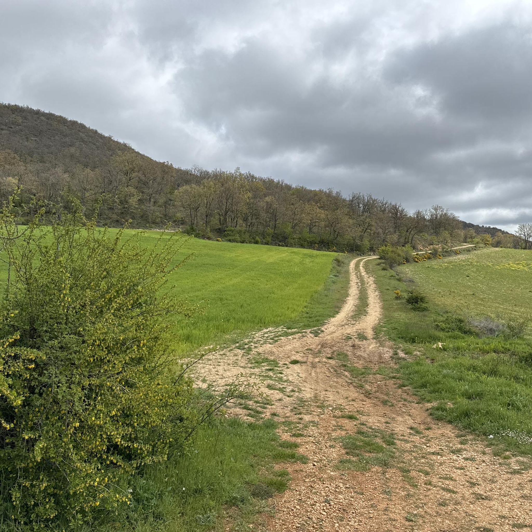
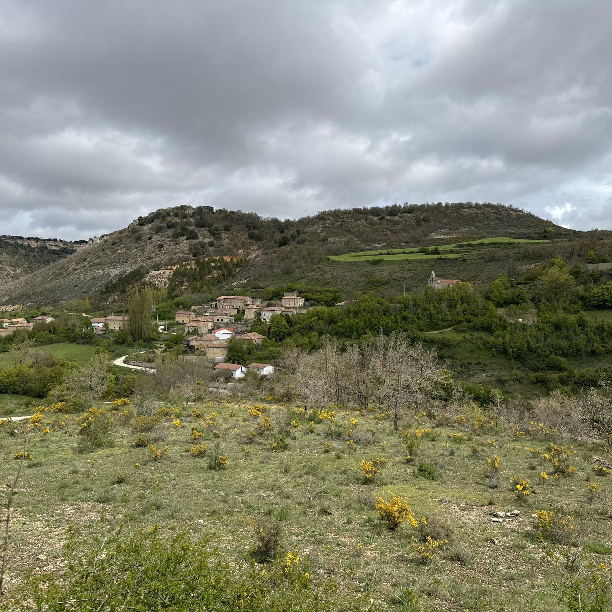
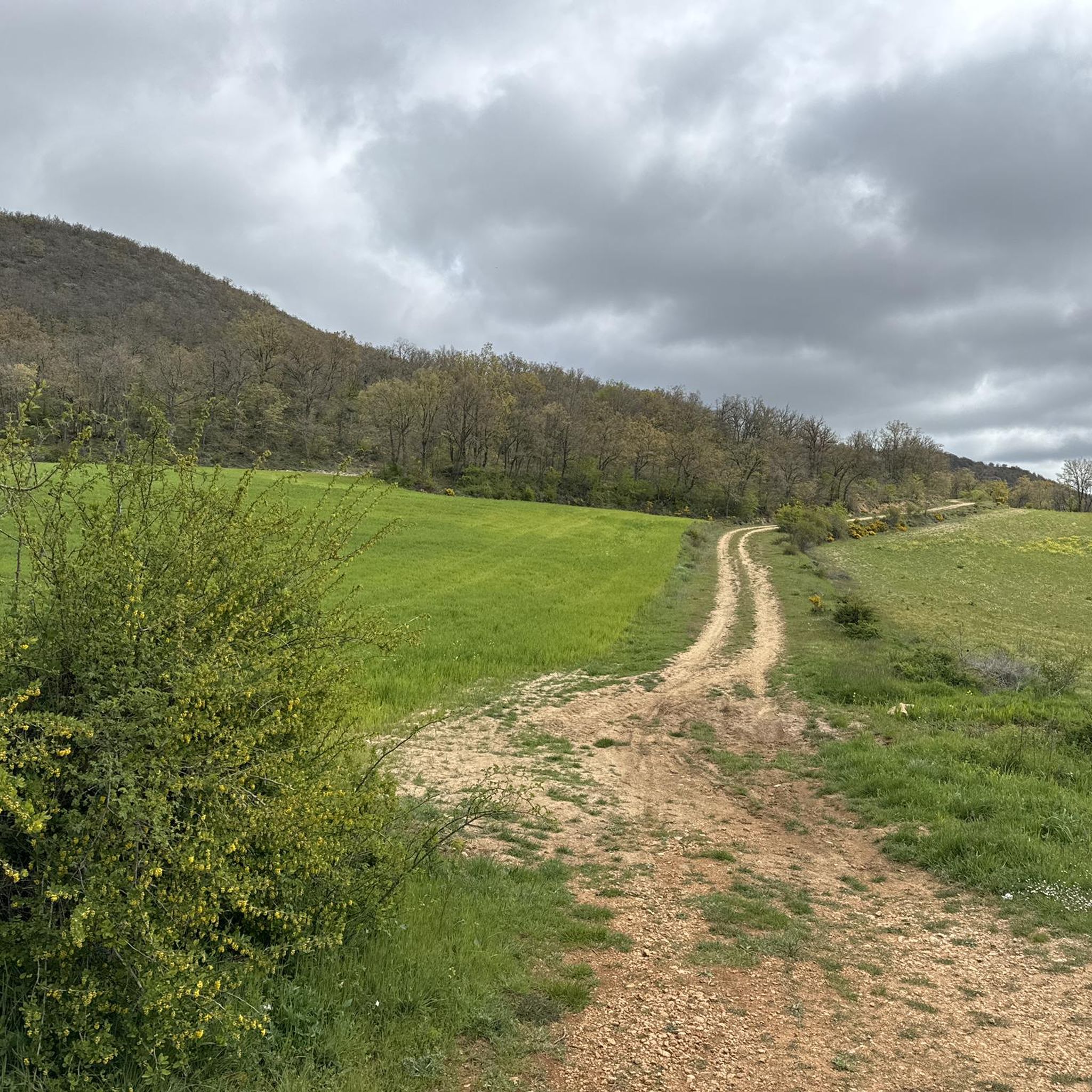
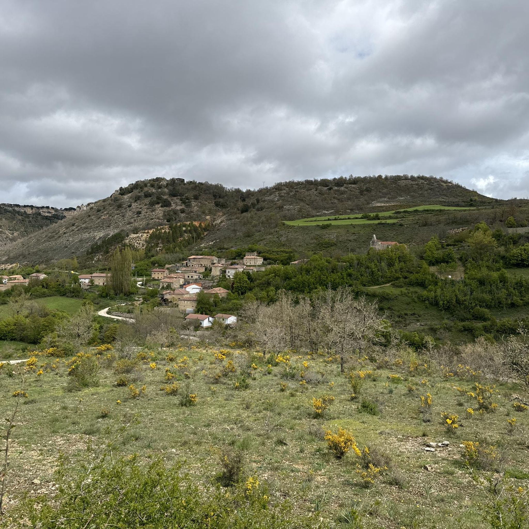
Here the Ebro has carved a beautiful canyon into the rocks. Especially here near Orbaneja, beautiful views of the spectacular rock faces on both sides open up again and again, while further towards Villaescuesa the path leads through a narrow but dense forest, which mostly obscures this view. It is definitely a beautiful path to hike.
0
0
A very beautiful path along the Ebro between Villaescusa and Orbaneja, where the Ebro has carved a beautiful canyon.
0
0
If it hasn't rained, the waterfall itself is dry and you only see the large amount of limestone it has left here - that too is quite impressive. Obviously, a little water still flows underground, because the basin below the waterfall was filled and some water also flowed in the small stream down to the Ebro.
0
0
The waterfall looks magically beautiful, widening as it cascades over the limestone basins. From the bridge at the foot of the waterfall, you can look into the large lower basins, where the water has a turquoise-blue color. The scene could also fit well into a fantasy film, at the center of a valley of fairies or elves. Light was very good for taking photos in the late morning. If, however, you arrive only in the early evening, the sun is above the waterfall and is blinding - but then the large basins on the other side of the bridge at the foot of the waterfall are particularly beautiful.
0
0

Spectacular area for hiking routes
0
0
Spectacular area for hiking routes
0
0
Spectacular area for hiking routes
0
0

The waterfall springs from the Cueva del Agua from a height of over 20 meters, at the base of the rocky cirque that embraces the village, originating from an aquifer located in the subsoil of the Páramo de Bricia, and it leaps everywhere, dividing the village into two halves, the Villa and the Puebla, and descends among the stone houses, creating a most photogenic scene.
2
0
Frequently Asked Questions
How many touring cycling routes are available in Sargentes De La Lora?
There are over 20 touring cycling routes in Sargentes De La Lora, offering diverse experiences through the Ebro Canyon and surrounding landscapes.
What kind of terrain can I expect on touring cycling routes in Sargentes De La Lora?
The region features a varied landscape with river valleys, canyon formations, and woodlands. You can expect a mix of elevations, from moderate climbs to more challenging ascents, particularly in areas like the Ebro Canyon.
Are there options for less experienced touring cyclists in Sargentes De La Lora?
While many routes are classified as difficult, there are at least 3 moderate touring cycling routes available. These routes offer a good balance for those looking for a less strenuous ride while still enjoying the region's scenery. An example is the Electra del Tobazo – Ebro Trail loop from Polientes.
Are there any challenging touring cycling routes for experienced riders?
Yes, Sargentes De La Lora is well-suited for experienced touring cyclists, with 18 routes classified as difficult. These routes often feature significant elevation gains and cover longer distances, such as the Ebro Canyon Trail or the Bike loop from Terradillos de Sedano.
What are some scenic viewpoints or landmarks I can visit while cycling?
Many routes offer access to stunning natural features and viewpoints. You could visit the Valcabado Viewpoint for panoramic views, or explore the unique Orbaneja del Castillo Rock Formations. The Ebro Trail – View of Orbaneja del Castillo loop from Quintanilla-Escalada is a great route to experience some of these sights.
Are there any waterfalls or natural pools to see along the routes?
Absolutely. The region is known for its beautiful water features. You can find the Turquoise Pools and Waterfalls of Orbaneja del Castillo, or the striking Pozo Azul de Covanera. The route Pozo Azul de Covanera – La Cañada Waterfall loop from Covanera specifically takes you past these natural wonders.
Can I explore any caves or unique geological features?
Yes, the area around Sargentes De La Lora offers several interesting caves and geological sites. You might consider visiting La Cucarada Cave or the Well of the Cueva de los Franceses. The region's karst landscape provides many opportunities to discover unique rock formations.
Are there any circular touring cycling routes in the area?
Many of the touring cycling routes in Sargentes De La Lora are designed as loops, allowing you to start and end in the same location. Examples include the Electra del Tobazo – Ebro Trail loop from Polientes and the Ebro Trail – View of Orbaneja del Castillo loop from Quintanilla-Escalada.
What is the best time of year for touring cycling in Sargentes De La Lora?
The best time for touring cycling is generally from spring through autumn when the weather is mild and the natural scenery is at its most vibrant. While winter cycling is possible, conditions can be colder and some routes might be affected by rain or snow, especially at higher elevations.
What do other touring cyclists say about the routes in Sargentes De La Lora?
The touring cycling routes in Sargentes De La Lora are highly regarded by the komoot community, with an average rating of 5.0 stars from 2 reviews. Over 90 touring cyclists have explored the area, often praising the diverse terrain and the scenic beauty of the Ebro Canyon.
Are there family-friendly touring cycling routes in Sargentes De La Lora?
While many routes are more challenging, families with some cycling experience can find suitable options among the moderate routes. These typically have less extreme elevation changes and cover manageable distances, allowing for a pleasant day out. Always check the route details for specific difficulty and distance.
Is it possible to find cafes or places to stop for refreshments along the routes?
Many routes pass through or near small villages where you can find local cafes or restaurants to refuel. It's always a good idea to check the map for amenities along your chosen route and carry sufficient water and snacks, especially on longer or more remote sections.
Most popular routes around Sargentes De La Lora
Most popular attractions around Sargentes De La Lora

Get inspired with the komoot mobile app


Explore more
Browse the best Cycling routes in other regions.
