The best road cycling routes around Atanzón
4.6
(8)
363
riders
9
rides
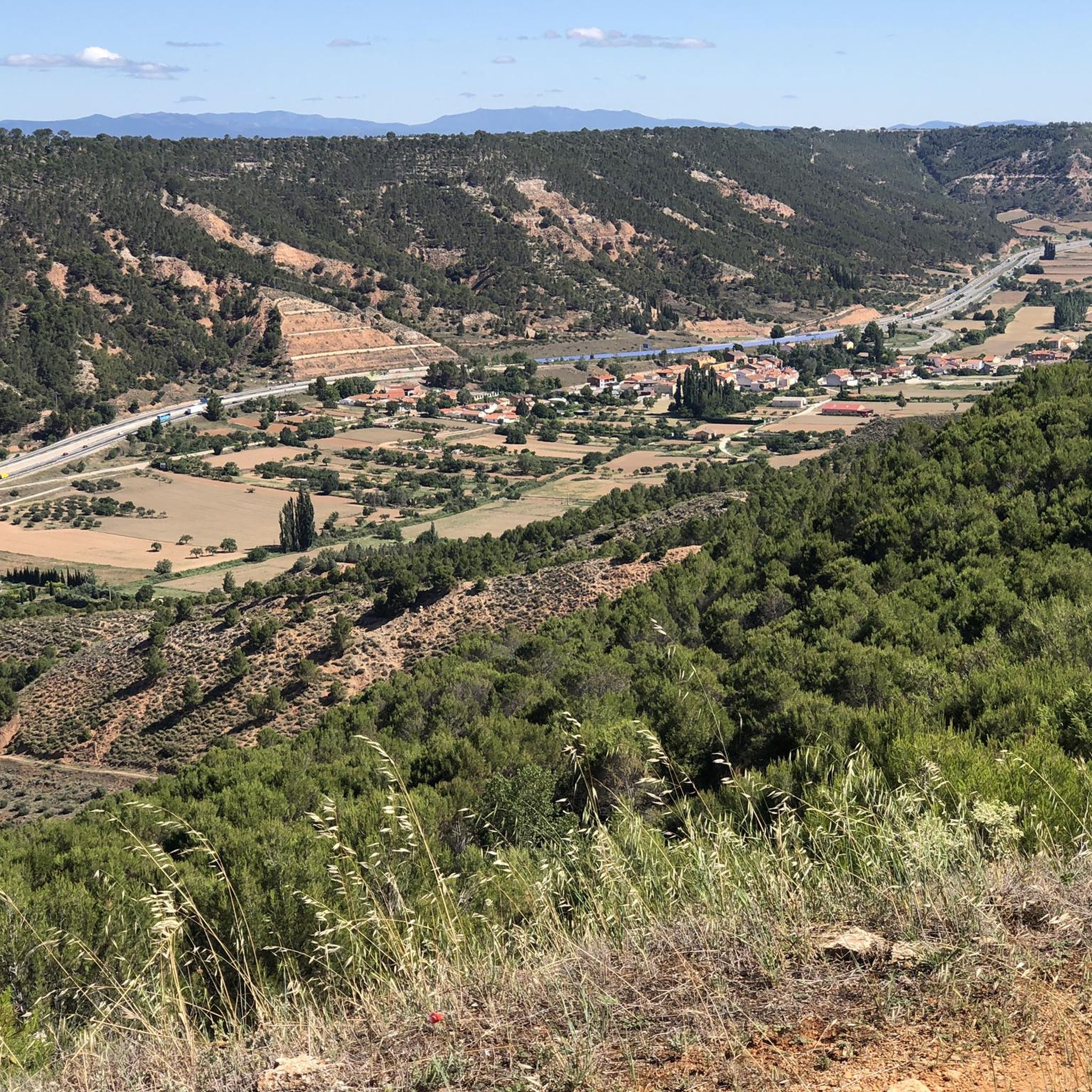
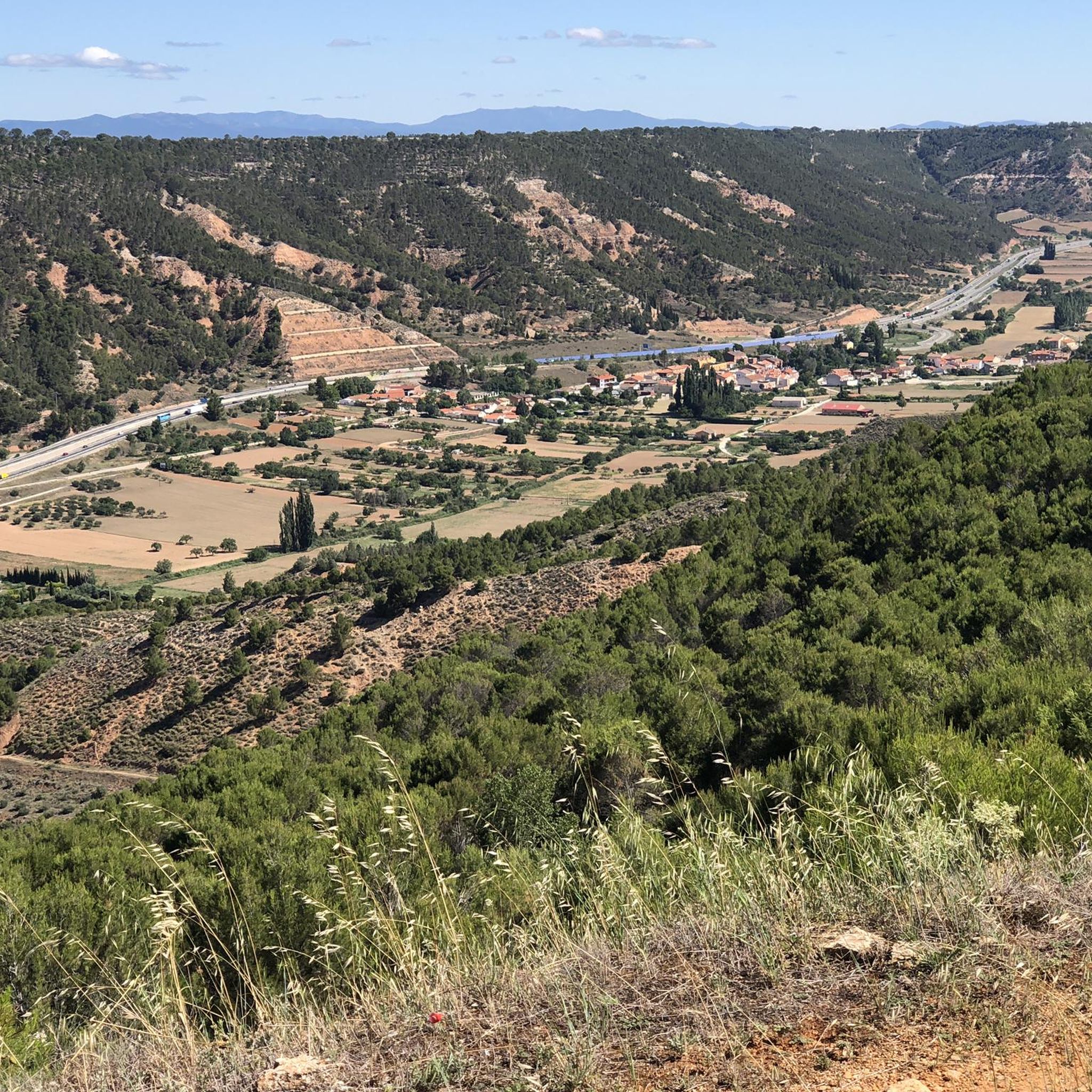
Road cycling routes around Atanzón are set within the Alcarria region, characterized by a high plateau at an average altitude of 970 meters, offering sustained, undulating sections. Significant connecting slopes provide elevation changes, with descents of up to 250 meters to valley floors. The Ungría River and El Valecillo stream contribute to varied natural scenery, creating dynamic routes for road cyclists.
Best road cycling routes around Atanzón
- The most popular road cycling route is Lupiana – Castillo de Torija loop…
Last updated: July 1, 2026
5.0
(2)
87
riders
45.4km
01:58
390m
390m
Moderate road ride. Good fitness required. Mostly well-paved surfaces and easy to ride.
4.0
(2)
44
riders
69.7km
03:04
650m
650m
Moderate road ride. Good fitness required. Mostly well-paved surfaces and easy to ride.

Sign up for free
35
riders
56.6km
02:33
610m
610m
Moderate road ride. Good fitness required. Mostly well-paved surfaces and easy to ride.
5.0
(1)
19
riders
108km
05:13
1,410m
1,410m
Hard road ride. Very good fitness required. Some segments of this route may be unpaved and difficult to ride.
5.0
(1)
11
riders
111km
05:10
1,310m
1,310m
Hard road ride. Very good fitness required. Some segments of this route may be unpaved and difficult to ride.
Get access to more routes and recommendations from other explorers.
Sign up for free
Already have an account?
Our route recommendations are based on thousands of hikes, rides, and runs completed by other people on komoot.
Start today with a free account
Your next adventure awaits.
Login or Signup

Tips from the Community

Beautiful town in the province of Guadalajara on the banks of the Matayeguas River.
0
0

A small town with a curious location and a crossroads, now paved, that of Lupiana
0
0

There are fountains, a bar and a very nice laundry room
0
0
Hita is a beautiful medieval town with a lot of charm in any of its corners. It was the headquarters of the Mecnes Berber Muslims, one of their leaders even proclaimed himself Caliph of Spain, although he only lasted a week in office, the time it took for his enemies in Córdoba to get rid of him. It was later conquered by Alvar Fáñez de Minaya for El Cid. Among his most famous characters in Hita, we must highlight his famous Archpriest Juan Ruiz, with numerous writings. Phrases from his Book of Good Love are reproduced on some walls in the town.
0
0

Picturesque town, especially its Plaza Mayor, which stands out for being an open space surrounded by beautiful buildings. It is a good place for a break, it has some bars and several water fountains.
0
0
A spectacular town, homeland of the famous Archpriest. Getting to it, however, will cost you, as it is perched on top of a hill.
0
0
This small town has bars and shops where we can get supplies, as well as a fountain.
1
0

Venture out of Guadalajara to reach the small town of Centenera in the Matayeguas Valley. A great place for a day of cycling.
2
0
Frequently Asked Questions
How many road cycling routes are available around Atanzón?
There are over 10 road cycling routes around Atanzón, offering a variety of distances and challenges. These routes are highly rated by the komoot community, with an average score of 4.7 stars.
What kind of terrain can I expect on road cycling routes in Atanzón?
The terrain around Atanzón is diverse, characterized by a high plateau at an average altitude of 970 meters, which means you'll encounter sustained, undulating sections. There are also significant connecting slopes with descents of up to 250 meters to valley floors, providing engaging climbs and exhilarating descents. The routes often wind through open fields and past natural features like the Ungría River and El Valecillo stream.
Are there road cycling routes suitable for different fitness levels?
Yes, the routes around Atanzón cater to various fitness levels. While there are no easy routes, you'll find 6 moderate routes and 5 difficult routes. This means you can choose between challenging rides with significant elevation gains and more manageable, yet still engaging, options.
Are there any scenic viewpoints along the road cycling routes?
Absolutely. A notable highlight is the Mirador de Peña Hueva, which offers expansive and beautiful vistas of the Alcarria landscape, extending to distant features like Madrid and the Cuerda Larga mountain range. Cycling to or past this viewpoint provides a rewarding experience with panoramic scenery.
What natural features will I encounter on the routes?
You'll experience the varied natural scenery of the Alcarria region, including the high plateau, connecting slopes, and valleys where the Ungría River and El Valecillo stream flow. The landscape features gentle hills and open fields, providing a dynamic backdrop for your ride.
Are there any historical or cultural landmarks to see while cycling?
Yes, several points of interest are located near the cycling routes. You might pass through settlements like Centenera or Iriépal, and for those interested in history, the Abandoned Village of Villaflores offers a unique sight.
Are there parking options available in Atanzón for cyclists?
While specific dedicated cyclist parking is not detailed, Atanzón is a small village, and general parking options are typically available within the village itself. It's advisable to check local signage upon arrival for the most suitable places to park.
How can I reach Atanzón using public transport, especially with a bike?
Public transport options to Atanzón are limited. Bus services from Guadalajara to Atanzón exist, but carrying bikes on these services can be challenging and may depend on the bus operator's policy and available space. It's recommended to check with the local bus company for their specific regulations regarding bicycles before planning your trip.
Are there any circular road cycling routes available?
Many of the routes in the Atanzón area are designed as loops, offering circular journeys. For example, the Lupiana – Castillo de Torija loop from Lupiana and the Centenera – Castillo de Torija loop from Valdeavellano are popular circular options that allow you to start and finish in the same location.
Where can I find places to eat or drink in Atanzón village?
Atanzón is a small village, and while specific cafes, restaurants, or pubs are not extensively listed, you may find local establishments offering refreshments. It's a good idea to carry some snacks and water, especially for longer rides, as options might be limited along the routes themselves.
What is the best time of year for road cycling in Atanzón?
The Alcarria region, where Atanzón is located, generally offers pleasant cycling conditions during spring and autumn. These seasons typically provide milder temperatures and less extreme weather, making for more comfortable rides. Summer can be hot, and winter might bring colder temperatures, so plan accordingly.
Are the road cycling routes in Atanzón suitable for families?
The road cycling routes around Atanzón are generally categorized as moderate to difficult, featuring significant elevation changes and distances. While enjoyable for experienced cyclists, they might be challenging for families with young children or those seeking very easy, flat rides. It's best to review individual route details for distance and elevation to determine suitability for your family's fitness level.
Most popular attractions around Atanzón

Get inspired with the komoot mobile app


Explore more
Browse the best Road cycling routes in other regions.
