The best walks and hikes around Arroyo De Las Fraguas
4.6
(44)
446
hikers
21
hikes
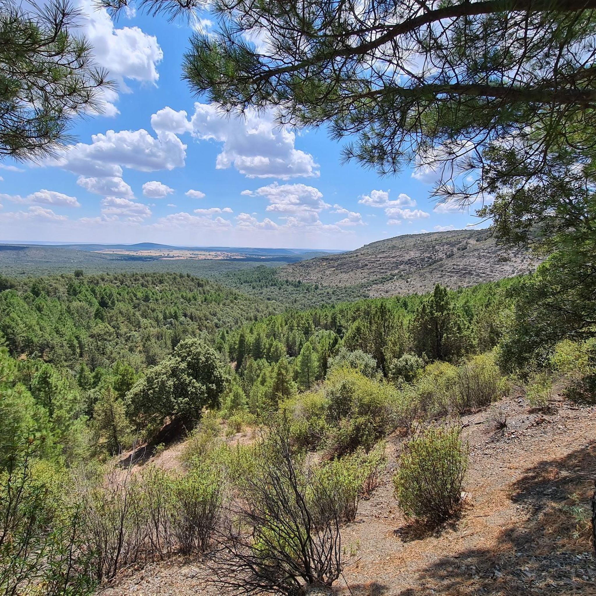
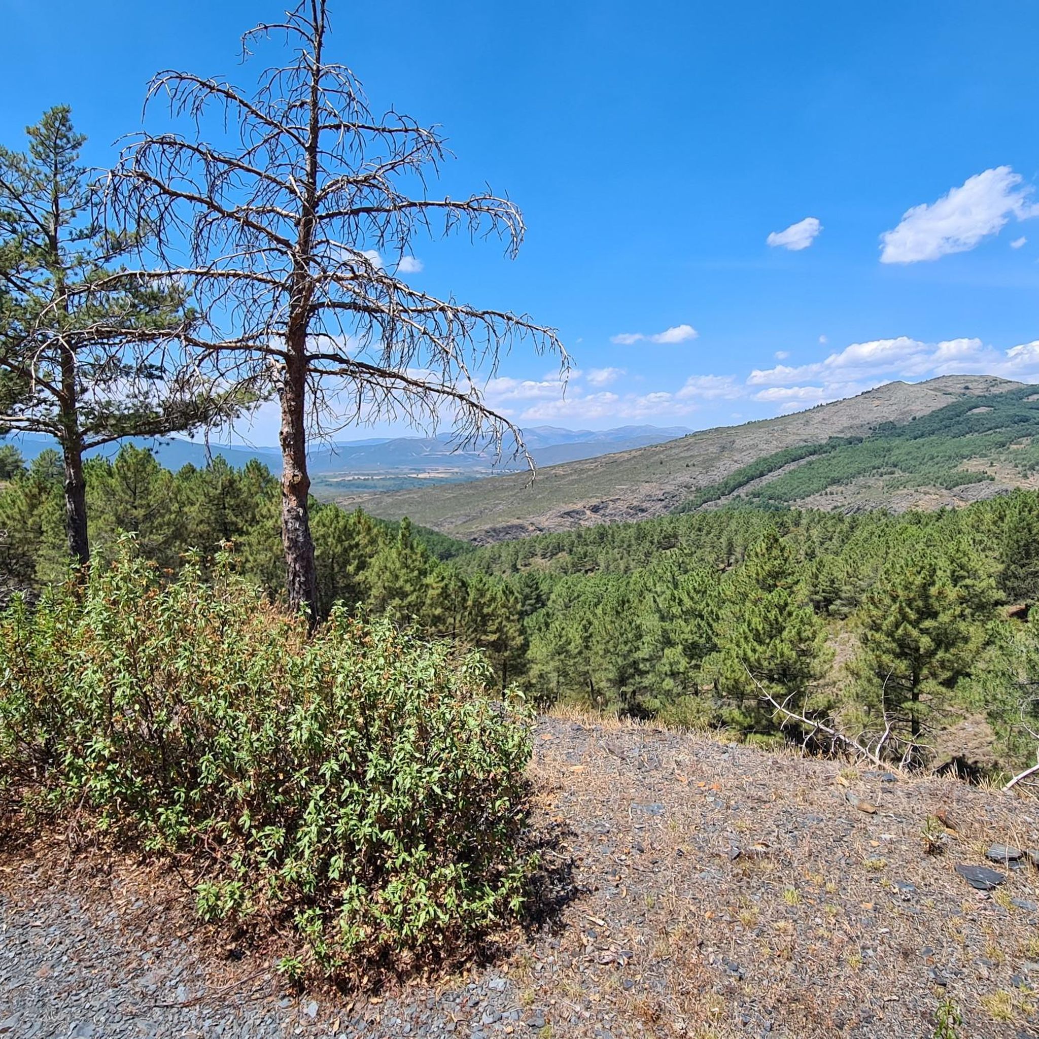
Hiking around Arroyo De Las Fraguas offers access to the diverse and rugged natural beauty of the Sierra Norte Natural Park in Guadalajara, Spain. The region features dramatic mountainous terrain with peaks exceeding 2,000 meters, extensive natural forests, and numerous rivers and waterfalls. Its varied geology includes uplifted gneiss ridges and red, jagged clay landscapes, providing a range of environments for outdoor exploration.
Best hiking trails around Arroyo De Las Fraguas
- The most popular hiking route is Pico Ocejon via…
Last updated: July 2, 2026
3.6
(5)
47
hikers
Hard hike. Very good fitness required. Mostly accessible paths. Sure-footedness required.
3
hikers
16.4km
05:30
630m
640m
Hard hike. Very good fitness required. Mostly accessible paths. Sure-footedness required.

Sign up for free
16
hikers
10.4km
02:52
170m
170m
Moderate hike. Good fitness required. Easily-accessible paths. Suitable for all skill levels.
4.8
(4)
13
hikers
Hard hike. Very good fitness required. Mostly accessible paths. Sure-footedness required.
3.3
(3)
14
hikers
12.6km
04:00
440m
440m
Moderate hike. Good fitness required. Mostly accessible paths. Sure-footedness required.
Get access to more routes and recommendations from other explorers.
Sign up for free
Already have an account?
Our route recommendations are based on thousands of hikes, rides, and runs completed by other people on komoot.
Start today with a free account
Your next adventure awaits.
Login or Signup

Tips from the Community

The Church of Our Lady of the Assumption, in Tamajón (Guadalajara), stands atop a small hill to the north of the town center, at an altitude of approximately 1,097 meters, within the Diocese of Sigüenza-Guadalajara. It was built in the 13th century in the Romanesque style, with significant renovations in the 16th century that introduced Renaissance influences. In the 12th century, the area belonged to the Common Lands of the Town and Territory of Atienza; in the 15th century, it passed to the Mendoza family.
3
0

Beautiful town in Guadalajara, with a plaza, church, several streams, and the Bonaval Monastery very close by.
0
0
From Valverde, you can enjoy stunning views of Ocejón Peak, especially from the hiking trails that depart from the town.
4
0
The climb to Pico Ocejón via the eastern slope is a popular route that begins in Valverde de los Arroyos. This route is known for its spectacular scenery and the opportunity to enjoy nature at its best.
4
0
The most popular route to ascend Pico Ocejón begins in Valverde de los Arroyos and is known for its scenic beauty and moderate difficulty. The hike is approximately 14.74 km and typically takes around 6 hours with stops. Along the way, hikers can enjoy spectacular views and the rich biodiversity of the area.
6
0
The Church of Our Lady of the Assumption in Tamajón, Guadalajara, is a beautiful example of 13th-century Romanesque architecture, with Renaissance reforms in the 16th century. Located on a small hill to the north of the town, this church stands out for its impressive façade and its rich history. The temple has a rectangular floor plan with three sections and three naves, with a flat chancel and a porticoed gallery on the south façade. Inside, you can admire mural paintings from different periods and Baroque and Gothic altarpieces that decorate the main altar and the side chapels.
5
0

Magnificent waterfalls. Worth a visit. Just 3 km from the village.
0
0
A spectacular waterfall just a short distance from the village of Valverde de los Arroyos. It is worth visiting.
0
0
Frequently Asked Questions
How many hiking trails are available around Arroyo De Las Fraguas?
The area around Arroyo De Las Fraguas offers a network of over 20 hiking trails, catering to various difficulty levels. These routes explore the diverse landscapes of the Sierra Norte Natural Park.
What kind of natural features can I expect to see while hiking here?
Hikers can expect to encounter dramatic mountainous terrain with peaks exceeding 2,000 meters, extensive natural forests, and numerous rivers and waterfalls. The region's varied geology also presents uplifted gneiss ridges and unique red, jagged clay landscapes.
Are there any notable waterfalls to visit on the trails?
Yes, the area is known for its beautiful waterfalls. A prominent one is the Despeñalagua Waterfall, which can be reached via routes like the Pico Ocejon via the Chorrera Despenalagua - circular from Valverde de los Arroyos tour. The Soto stream also forms notable waterfalls, sometimes called 'Las Pozas de Marte'.
Are there family-friendly hiking options in Arroyo De Las Fraguas?
While many trails offer a challenge, there are at least 2 easy routes available, suitable for families or those looking for a more relaxed walk. These paths often wind through forests and offer gentle gradients.
What are some challenging hikes for experienced trekkers?
For experienced hikers, there are 8 difficult routes that ascend to the park's highest peaks. One such challenging option is the Pico del Alto Rey — circular via the old path of Alto Rey from Bustares, offering panoramic mountain scenery.
Can I find circular hiking routes in this region?
Yes, many routes in the area are circular, allowing you to start and end in the same location. An example is the Between hills – Almiruete loop from Almiruete, which offers a moderate 12.6 km hike.
What is the best time of year to go hiking in Arroyo De Las Fraguas?
The Sierra Norte Natural Park offers hiking opportunities year-round. Spring and autumn provide pleasant temperatures and vibrant landscapes, while summer is ideal for enjoying refreshing spots near rivers and waterfalls. Winter can offer snow-capped peaks for experienced hikers, though conditions require appropriate gear.
Are there any unique villages or cultural sights along the hiking trails?
Yes, some hiking routes pass through charming villages known for their unique 'black architecture.' Villages like Valverde de los Arroyos and Roblelacasa feature houses constructed using locally mined slate, offering a distinct cultural experience.
What do other hikers enjoy most about the trails around Arroyo De Las Fraguas?
The area is highly rated by the komoot community, with an average score of 4.6 stars from over 50 reviews. Reviewers often praise the dramatic mountainous terrain, the abundance of waterfalls and rivers, and the extensive natural forests that define the hiking experience.
Are there opportunities for wildlife spotting while hiking?
The Sierra Norte Natural Park is home to diverse wildlife. Hikers frequently spot griffon vultures, golden eagles, common buzzards, booted eagles, and black kites, adding an exciting element to the outdoor experience.
What are some of the prominent peaks in the area?
The Sierra Norte Natural Park boasts 20 peaks exceeding 2,000 meters. Notable summits include Pico Ocejón, Alto Rey Peak (1,858 m), and Ocejoncillo Summit, offering challenging ascents and rewarding views.
Is there parking available at the trailheads?
While specific parking details vary by trailhead, many villages that serve as starting points for hikes, such as Valverde de los Arroyos or Bustares, typically offer designated parking areas for visitors. It's advisable to check local information for specific routes.
Most popular routes around Arroyo De Las Fraguas
Most popular attractions around Arroyo De Las Fraguas

Get inspired with the komoot mobile app


Explore more
Browse the best Hikes in other regions.
