The best walks and hikes around Mittleres Innerstetal mit Kanstein
4.6
(36775)
126,254
hikers
18
hikes
Hiking around Mittleres Innerstetal mit Kanstein features diverse natural landscapes, centered around the fast-flowing Innerste River with its gravel islands and riparian forests. The region includes the prominent Kanstein rocky slope, characterized by calc-magnesium grasslands, and the Derneburger Teiche and Klärteiche bei Baddeckenstedt, which are significant habitats for numerous bird species. This nature reserve provides varied terrain for outdoor activities.
Best hiking trails around Mittleres Innerstetal mit Kanstein
- The most popular hiking route is Laves culture trail in Holle –…
Last updated: October 12, 2026
4.9
(25)
83
hikers
Moderate hike. Good fitness required. Easily-accessible paths. Suitable for all skill levels.
4.5
(51)
101
hikers
6.29km
01:35
10m
10m
Easy hike. Great for any fitness level. Easily-accessible paths. Suitable for all skill levels.

9
hikers
Easy hike. Great for any fitness level. Easily-accessible paths. Suitable for all skill levels.
4.4
(22)
24
hikers
Easy hike. Great for any fitness level. Easily-accessible paths. Suitable for all skill levels.
7
hikers
Easy hike. Great for any fitness level. Easily-accessible paths. Suitable for all skill levels.
Get access to more routes and recommendations from other explorers.
Already have an account?
Our route recommendations are based on thousands of hikes, rides, and runs completed by other people on komoot.
Start today with a free account
Your next adventure awaits.
Popular around Mittleres Innerstetal mit Kanstein
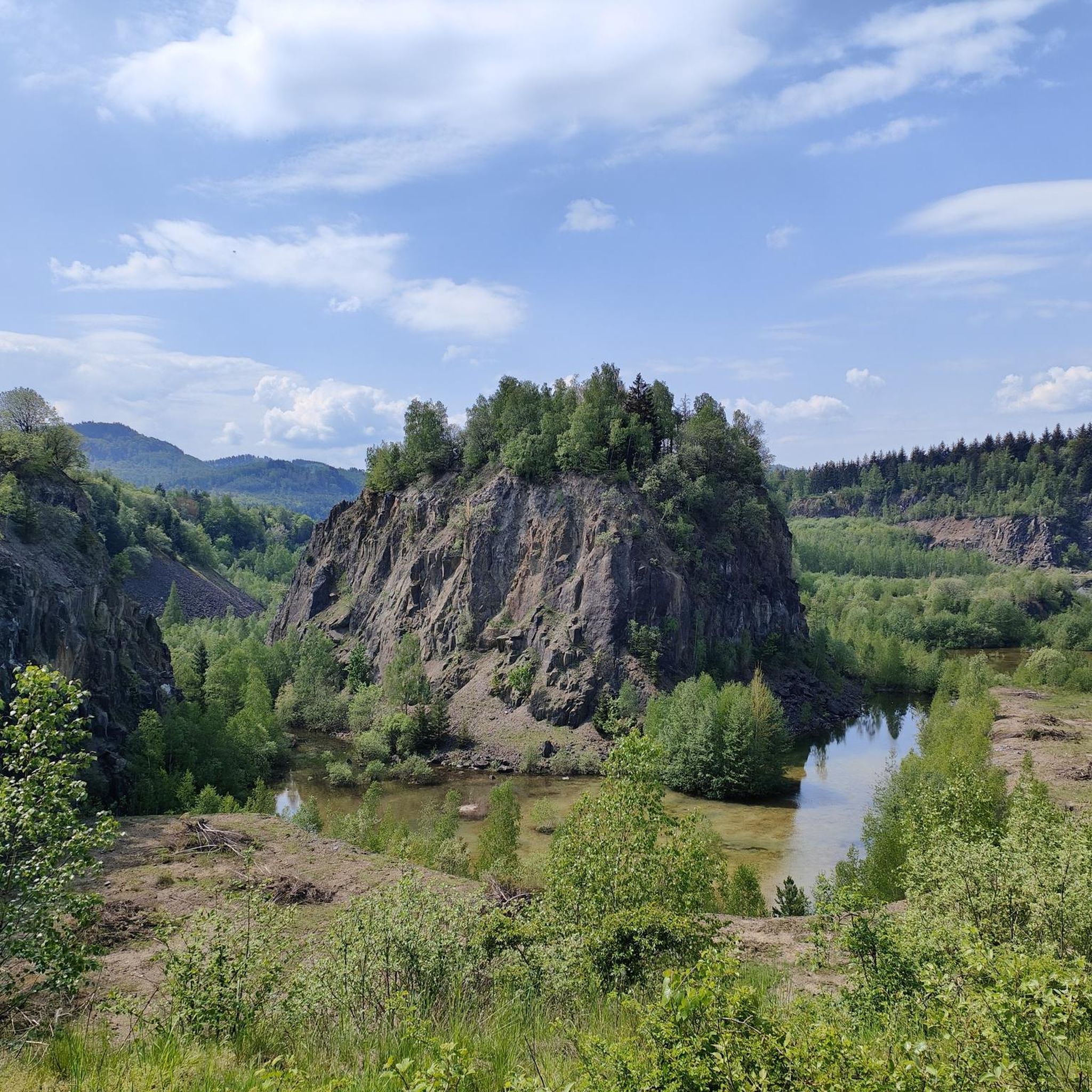
Cycling around Mittleres Innerstetal mit Kanstein
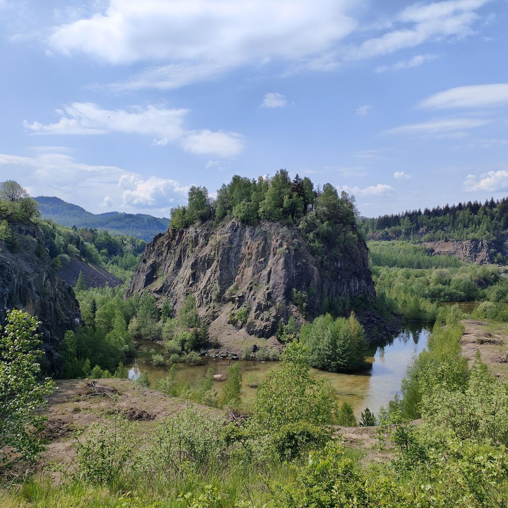
Road Cycling Routes around Mittleres Innerstetal mit Kanstein
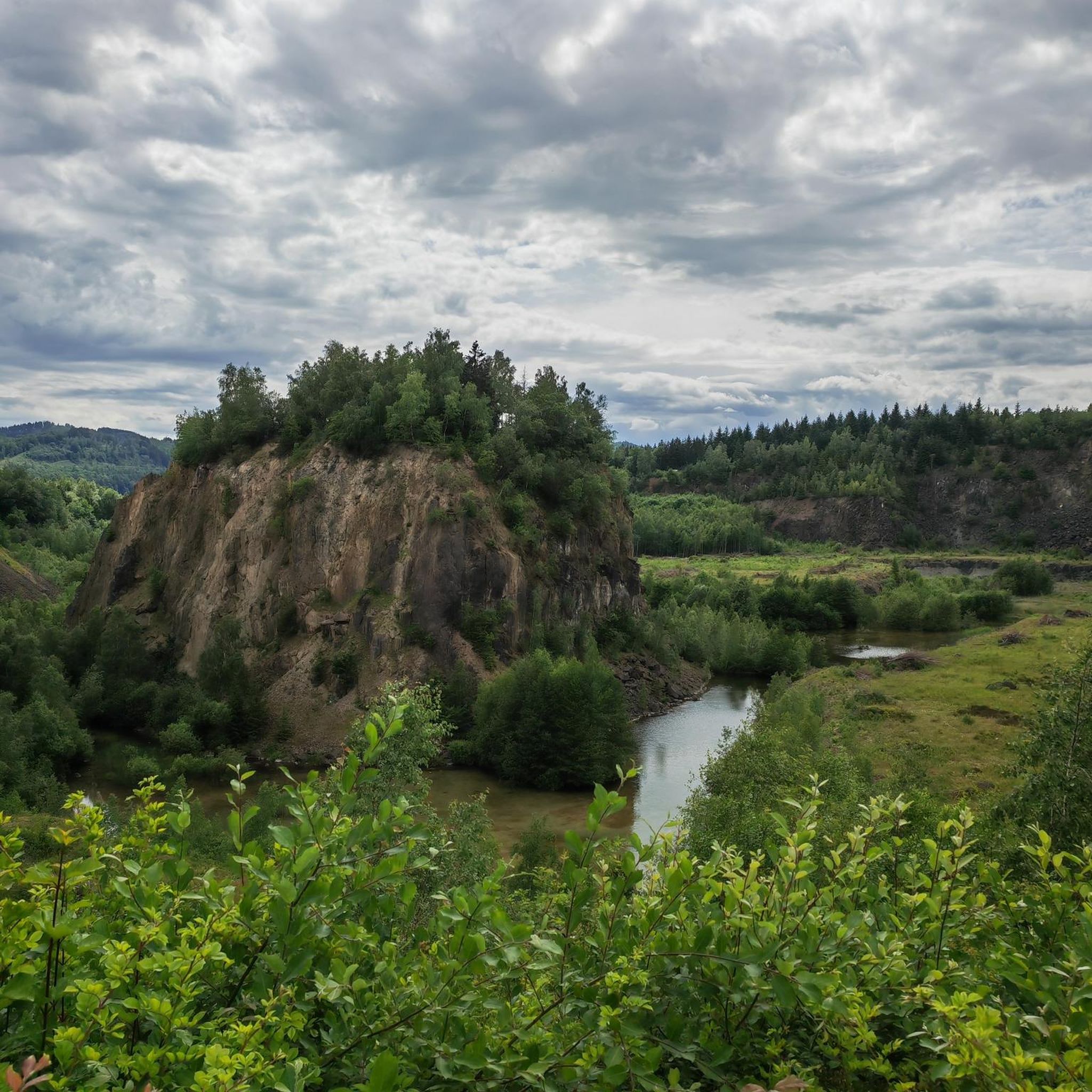
MTB Trails around Mittleres Innerstetal mit Kanstein
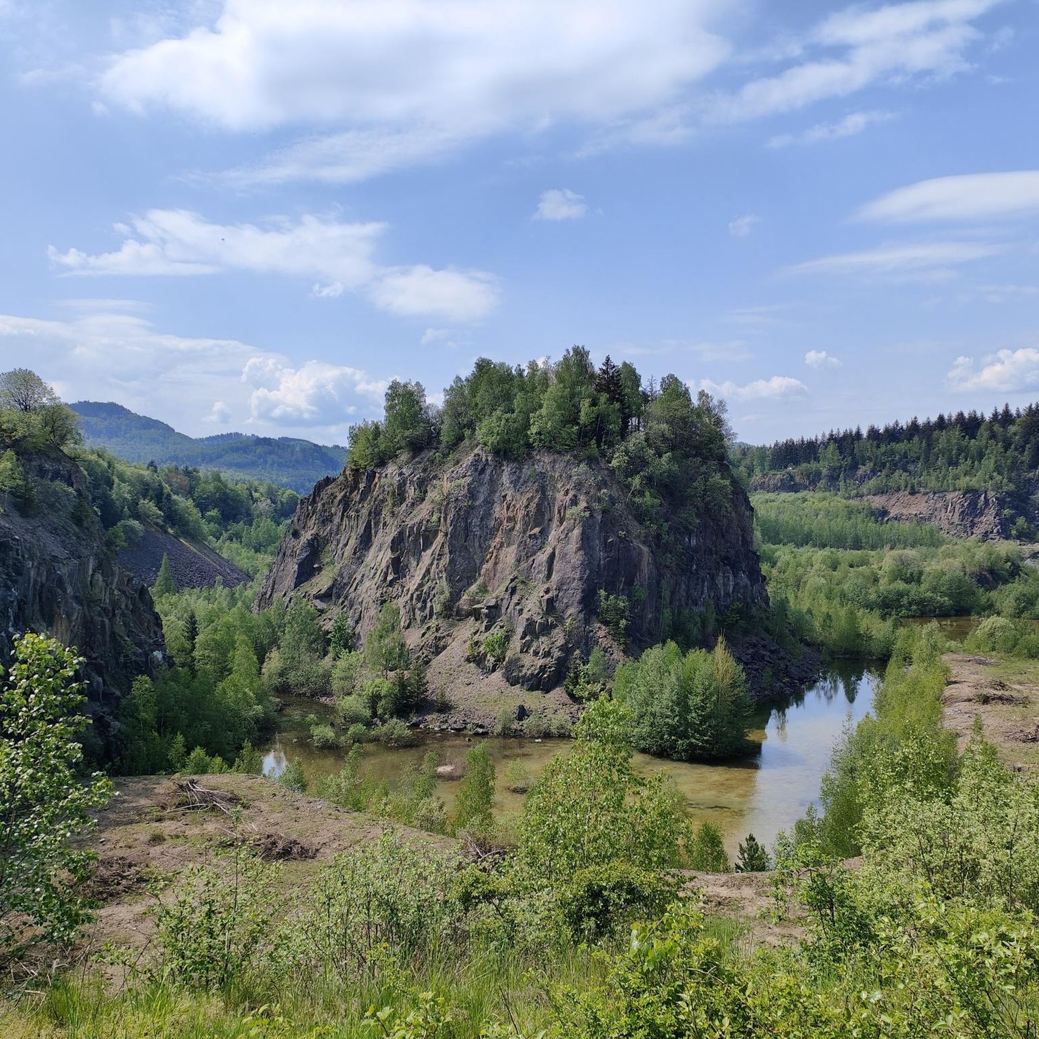
Running Trails around Mittleres Innerstetal mit Kanstein
Gravel biking around Mittleres Innerstetal mit Kanstein
Mountain Hikes around Mittleres Innerstetal mit Kanstein
Tips from the Community

The Innerste is a right tributary of the Leine in Lower Saxony, approximately 97 km long. Key Data & Geography Source: The Innerste-Sprung southeast of Clausthal-Zellerfeld in the Upper Harz (at approx. 605 m above sea level). Mouth: Flows into the Leine near Ruthe (town of Sarstedt, district of Hildesheim) at an altitude of about 58 m. Elevation difference: Approx. 547 meters. Catchment area: Approx. 1,265 km². Course & Places River course: Originates in the Upper Harz, flows northwest through the Harz foreland and the Hildesheim Börde, and finally flows into the Leine south of Hanover. Important riparian communities: Wildemann, Lautenthal, Langelsheim, Salzgitter (Ringelheim), Baddeckenstedt, Holle, Bad Salzdetfurth (district Groß Düngen), Hildesheim, and Sarstedt. Important tributaries: Grane, Neile, Nette, Lamme, and Beuster. Usage & Special Features Innerste Valley Dam: Between Lautenthal and Langelsheim, the river is dammed in the Upper Harz. The dam serves for flood protection, low water augmentation, power generation, and as a local recreation area (water sports, fishing). Heavy metal pollution: Due to historical mining in the Harz, the Innerste carries dissolved heavy metals (e.g., lead, zinc, cadmium) to this day, which places special demands on soil and floodplain protection along the lower course. Leisure & Nature: The valley offers popular routes such as the Innerste Cycle Path (from the Harz to the mouth), hiking trails in nature reserves (e.g., Mittleres Innerstetal), and sections for canoe sports (including a whitewater course in Hildesheim).
0
0
Innersteradweg but also for pedestrians. Very nice with the newly built footbridge with platform over the Innerste, further towards Listringen there is also a nicely located bench with a view of the Innerste between 2 fir trees. In total there are 2 benches between Heinde and Listringen along the Innersteradweg. If necessary, you can also sit on the concrete blocks of the Maschbrücke. Very nice place to enjoy the river landscape in the Innerstetal.
1
0
Nice bench mostly in the shade directly on the Innerste between Listringen and Heinde upstream.
1
0
The former railway bridge, also known as Maschbrücke, is used in many ways. Often as a viewpoint overlooking the Innerste river, or by young people who like to use the bridge as a diving platform to cool off. Hikers and walkers can easily cross between the riverbanks here.
0
0
The bridge with the viewing platform on the Innerste near Heinde (municipality of Bad Salzdetfurth) is part of the upgraded Innerste cycle path between Heinde and Hockeln. Function & Structure: The wooden or plastic plank path leads dryly through a damp hollow in the river valley directly to the riverbed and ends in an integrated viewing platform over the water. Purpose: It serves as a connecting link for the cycle and hiking path and offers a protected view of the nature reserve and the floodplain landscape of the Middle Innerste Valley.
1
0

It's nice when the small paths through the nature reserves are ridden. These are predominantly narrow hiking trails and only suitable for the "experienced". The official Innerste cycle path mostly runs past on the side.
0
0

Old building built on a bridge over the river.
0
0

There is a small natural dam here, but no weir.
0
0
Frequently Asked Questions
How many hiking trails are available in Mittleres Innerstetal mit Kanstein?
The Mittleres Innerstetal mit Kanstein region offers a wide variety of hiking experiences, with over 2,800 routes available. These range from easy strolls to more challenging treks, ensuring there's something for every hiker.
What kind of terrain can I expect on hikes in Mittleres Innerstetal mit Kanstein?
You'll find diverse terrain, from the fast-flowing Innerste River with its gravel islands and riparian forests to the prominent Kanstein rocky slope, characterized by calc-magnesium grasslands. The region also features ponds and wetlands, offering varied landscapes for exploration.
Are there family-friendly hiking options in Mittleres Innerstetal mit Kanstein?
Yes, there are many easy routes suitable for families. For example, the Laves culture trail in Holle – magical is an easy 4.5 km trail that explores cultural landmarks and is perfect for a leisurely family outing.
Can I bring my dog on the hiking trails?
Many trails in the Mittleres Innerstetal mit Kanstein region are dog-friendly. However, as it is a nature reserve, it's always best to keep dogs on a leash to protect local wildlife, especially near bird habitats like the Derneburger Teiche and Klärteiche bei Baddeckenstedt.
What natural features or landmarks can I see while hiking?
The region is rich in natural beauty. You can explore the Innerste River, the unique rock vegetation of the Kanstein, and the significant bird habitats of the Lake in Mittleres Innerstetal mit Kanstein Nature Reserve. Don't miss the Chestnut Avenue and Birdwatching Hut for excellent wildlife viewing.
Are there any historical sites to explore along the trails?
Absolutely. You can visit the historic Derneburg Watermill, which dates back to 1598. Another notable site is Schloss Derneburg, offering beautiful views and historical architecture. The Derneburg Castle – Derneburg Watermill loop connects these historical points.
Where can I go birdwatching in the region?
The Derneburger Teiche and Klärteiche bei Baddeckenstedt are excellent for birdwatching. These ponds are crucial habitats for numerous rare and endangered bird species, including little grebes, marsh harriers, and red kites. An observation platform at the Klärteiche bei Baddeckenstedt provides great viewing opportunities.
Are there circular walks available in Mittleres Innerstetal mit Kanstein?
Yes, many routes are designed as circular walks. For instance, the Derneburg Watermill – Lake Marien loop from Derneburg (Han) is a popular 9.7 km circular trail that takes you past the historic watermill and Lake Marien.
What do other hikers enjoy most about the trails here?
The trails in Mittleres Innerstetal mit Kanstein are highly rated by the komoot community, with an average score of 4.6 stars from over 31,000 reviews. Hikers often praise the diverse natural landscapes, the well-preserved riverine environment, and the variety of routes suitable for different fitness levels.
What is the best time of year to visit Mittleres Innerstetal mit Kanstein for hiking?
The region is beautiful year-round, but spring and autumn offer particularly pleasant hiking conditions with mild temperatures and vibrant natural colors. Spring brings blooming flora, while autumn showcases stunning foliage. Summer is also popular, especially for enjoying the river and ponds, but can be warmer.
Are there challenging hikes available, or are most trails easy?
While there are many easy and moderate routes, the region also offers some challenging hikes, with 151 routes classified as difficult. These often involve more significant elevation changes, particularly around the Kanstein, providing a good workout for experienced hikers.
Is parking available near the trailheads?
Yes, parking facilities are generally available at or near popular trailheads and attractions throughout the Mittleres Innerstetal mit Kanstein region. Specific parking information can often be found on individual route descriptions on komoot.
Most popular routes around Mittleres Innerstetal mit Kanstein
Most popular attractions around Mittleres Innerstetal mit Kanstein

Get inspired with the komoot mobile app


Explore more
Browse the best Hikes in other regions.
