The best walks and hikes around Ciruelas
4.8
(18)
179
hikers
14
hikes
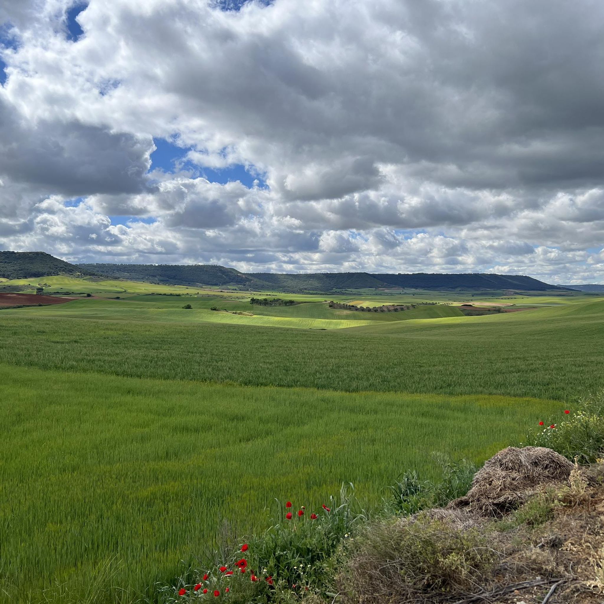
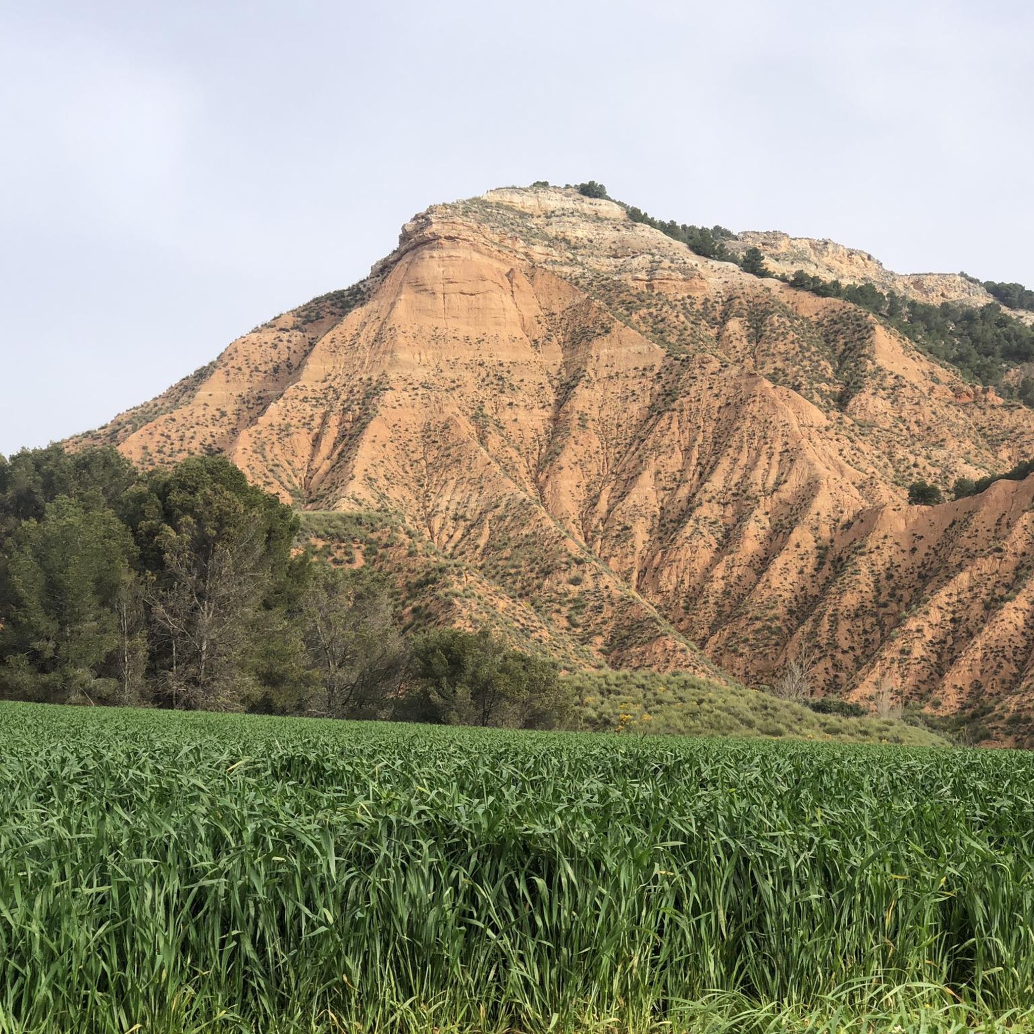
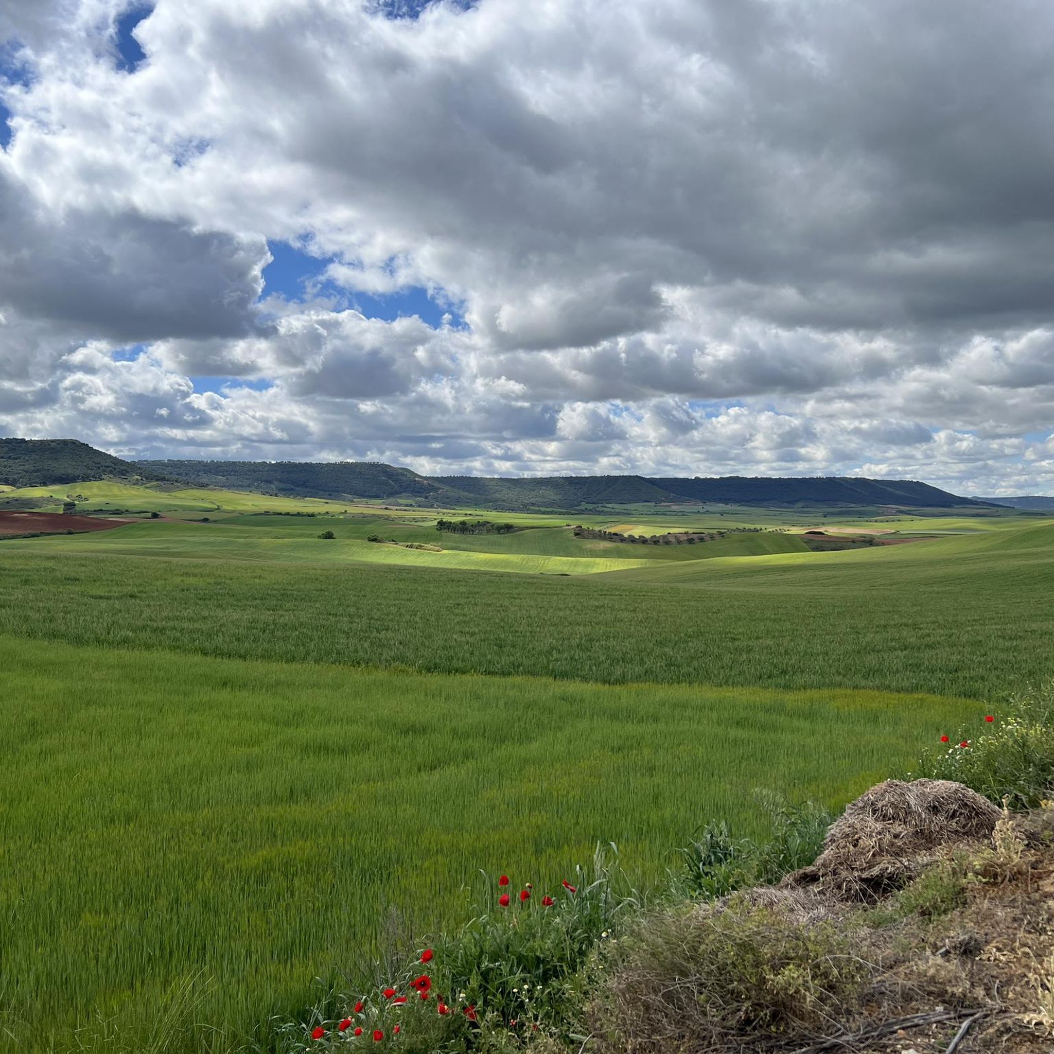
Hiking around Ciruelas, Guadalajara, Spain, offers opportunities to explore the natural surroundings of the Castile-La Mancha region. The area features varied terrain suitable for different hiking abilities, from gentle walks to more challenging excursions. The broader region is known for its diverse natural beauty, providing a backdrop for outdoor activities.
Best hiking trails around Ciruelas
- The most popular hiking route is The Slipper Trail, a 6.1 miles (9.8 km) trail that takes 2 hours 53 minutes to complete. This…
Last updated: June 28, 2026
4.0
(4)
21
hikers
9.80km
02:53
270m
270m
Moderate hike. Good fitness required. Easily-accessible paths. Suitable for all skill levels.
5.0
(1)
26
hikers
5.76km
01:47
210m
210m
Easy hike. Great for any fitness level. Easily-accessible paths. Suitable for all skill levels.

Sign up for free
11
hikers
10.6km
03:08
290m
290m
Moderate hike. Good fitness required. Easily-accessible paths. Suitable for all skill levels.
5.0
(1)
7
hikers
13.9km
04:28
560m
560m
Moderate hike. Good fitness required. Easily-accessible paths. Suitable for all skill levels.
5.0
(2)
6
hikers
Hard hike. Very good fitness required. Easily-accessible paths. Suitable for all skill levels.
Get access to more routes and recommendations from other explorers.
Sign up for free
Already have an account?
Our route recommendations are based on thousands of hikes, rides, and runs completed by other people on komoot.
Start today with a free account
Your next adventure awaits.
Login or Signup

Tips from the Community

If you go in summer or when it's hot, go up the shady side, it's all covered with pine trees.
0
1

Known as the bicycle roundabout, it's actually a motorcycle tribute to the Alcarria or Guadalajara motocross club. Although the similarity serves both well.
0
0

An extraordinary viewpoint of Guadalajara and in the distance of Madrid. Also from the neighboring Peña Hueva, Iriepal and the Torija Valley with the A2 Highway
2
0
Whenever you arrive at this Mirador or Balcony of La Peña Hueva, it is convenient to sit on one of its rocks, without danger of falling into the abyss, and admire the nearby landscape, Iriepal, Guadalajara, Pico del Águila, etc., and in the distance, Madrid, Long Rope, etc. Restful rest admiring the beauty of the landscape and the people who walk there.
1
0

The Pico del Águila ("Eagle's Peak") is an approximately 970 m high mountain on the northern edge of the La Alcarria plateau in the Spanish province of Guadalajara. The mountain is about 20 km north-east of the provincial capital of Guadalajara, which is about 700 m high. The mountain breaks off to the north through a striking, approx. 200 m high steep slope that can be seen from afar. To the east and west it slopes more gently and wooded into the valley of Valdenoches, which has been a suburb of Guadalajara since 1969. [wp:de]
1
0

Unique viewpoint in Peña Hueva, a recreational space for walks and public use for many citizens of the city of Guadalajara.
2
0
The viewpoint located in Peña Hueva is a recreational space for walks and public use for many citizens of the city of Guadalajara. It offers very beautiful views of Alcarria.
2
0

Fun roundabout that cannot be missing from any cyclist's license
1
0
Frequently Asked Questions
How many hiking trails are available around Ciruelas?
There are 15 hiking trails around Ciruelas, offering a variety of experiences. These include 3 easy routes, 10 moderate routes, and 2 more challenging excursions.
What kind of terrain can I expect on hikes in Ciruelas?
The terrain around Ciruelas, located in the Castile-La Mancha region of Spain, is varied. You can expect natural surroundings with paths suitable for different abilities, from gentle walks to more challenging ascents and descents through the local landscape.
Are there any easy hiking trails suitable for a relaxed outing?
Yes, there are 3 easy hiking routes in Ciruelas. One popular option is the Viewpoint of Peña Hueva loop from Restaurante Las Galeras, which is 3.6 miles (5.8 km) long and offers pleasant views.
Are there any challenging hikes for experienced hikers?
Yes, for those seeking a more demanding experience, there are 2 difficult routes. An example is the Bicycle Roundabout – Viewpoint of Peña Hueva loop from Restaurante Las Galeras, which covers over 12 miles (20 km) with significant elevation changes.
Are there any circular walks or loop trails in Ciruelas?
Yes, many routes in Ciruelas are designed as loops. Popular options include the Viewpoint of Peña Hueva loop from Restaurante Las Galeras and the Pico del Águila loop from Restaurante Las Galeras, allowing you to start and end at the same point.
What are the notable landmarks or viewpoints I can see while hiking?
Hikers can enjoy several notable points of interest. The Viewpoint of Peña Hueva offers scenic vistas, and the Pico del Águila is another prominent summit in the area. Some trails also pass through or near charming settlements like Centenera and Hita.
What do other hikers enjoy most about hiking in Ciruelas?
The hiking trails in Ciruelas are highly rated by the komoot community, with an average score of 4.6 stars from over 10 reviews. Hikers often praise the varied terrain and the opportunities to discover the region's natural features.
Is Ciruelas a good destination for family-friendly hikes?
Yes, with 3 easy routes available, Ciruelas offers options suitable for families looking for a relaxed outing. These trails typically have less elevation gain and shorter distances, making them enjoyable for all ages.
Are there dog-friendly trails in Ciruelas?
Many of the natural trails around Ciruelas are suitable for walking with dogs, provided they are kept under control. It's always advisable to check local regulations for specific areas or protected zones before heading out with your pet.
What is the typical duration of hikes in Ciruelas?
Hikes in Ciruelas vary in duration depending on the route and your pace. For example, the easy Viewpoint of Peña Hueva loop takes approximately 1 hour 46 minutes, while the moderate The Slipper Trail typically takes around 2 hours 53 minutes.
Are there places to eat or stay near the hiking trails in Ciruelas?
While specific accommodation details are not provided, the presence of 'Restaurante Las Galeras' as a starting point for several routes suggests that dining options are available. For broader accommodation, you might look into the nearby settlements like Guadalajara city.
What is the best time of year to go hiking in Ciruelas?
The Castile-La Mancha region generally experiences hot, dry summers and cold winters. Spring and autumn are often the most pleasant seasons for hiking, offering milder temperatures and comfortable conditions for exploring the trails.
Most popular attractions around Ciruelas

Get inspired with the komoot mobile app


Explore more
Browse the best Hikes in other regions.
