The best road cycling routes around Rillo De Gallo
5.0
(7)
101
riders
12
rides
Road cycling routes around Rillo De Gallo are characterized by varied terrain, quiet roads, and open landscapes in the province of Guadalajara, Spain. Situated at an altitude of 1,055 meters, the area features gentle hills and ascents, with its highest point reaching 1,404 meters. The region is traversed by several rivers, including the Gallo River, and is known for its significant geological formations, offering diverse backdrops for road cyclists.
Best road cycling routes around Rillo De Gallo
- The most popular road cycling route is Valle de la Hoz and ascent to Cuevas Labradas — circular from Molina de Aragón, a 37.4 miles (60.2 km) trail that takes 2 hours 59 minutes to complete. This moderate route offers a scenic journey through the valley and includes a notable ascent.
- Another top favourite among local road cyclists is Río Bullones from Molina de Aragón — circular via the ZEC Montes de Picaza, a difficult 61.1 miles (98.3 km) path. This challenging route explores the ZEC Montes de Picaza, providing extensive views and significant elevation gain.
- Local road cyclists also love the From Molina de Aragón to Embid Castle — circular via ZEC Natural Monument Sierra de Caldereros, a 49.6 miles (79.9 km) trail leading through the ZEC Natural Monument Sierra de Caldereros, often completed in about 3 hours 30 minutes.
- Road cycling around Rillo De Gallo is defined by open landscapes, quiet roads, and geological formations. The network offers options for moderate and difficult routes, catering to various ability levels.
- The routes in Rillo De Gallo are highly rated by the komoot community with an average score of 5.0 stars from over 6 reviews. More than 80 road cyclists have used komoot to explore Rillo De Gallo's varied terrain.
Last updated: October 14, 2026
5.0
(1)
18
riders
Moderate road ride. Good fitness required. Some segments of this route may be unpaved and difficult to ride.
2
riders
98.3km
04:48
1,410m
1,410m
Hard road ride. Very good fitness required. Mostly well-paved surfaces and easy to ride.

Moderate road ride. Good fitness required. Mostly well-paved surfaces and easy to ride.
5.0
(5)
19
riders
49.3km
02:21
440m
440m
Moderate road ride. Good fitness required. Some segments of this route may be unpaved and difficult to ride.
10
riders
112km
05:31
1,650m
1,650m
Hard road ride. Very good fitness required. Mostly well-paved surfaces and easy to ride.
Get access to more routes and recommendations from other explorers.
Already have an account?
Our route recommendations are based on thousands of hikes, rides, and runs completed by other people on komoot.
Start today with a free account
Your next adventure awaits.
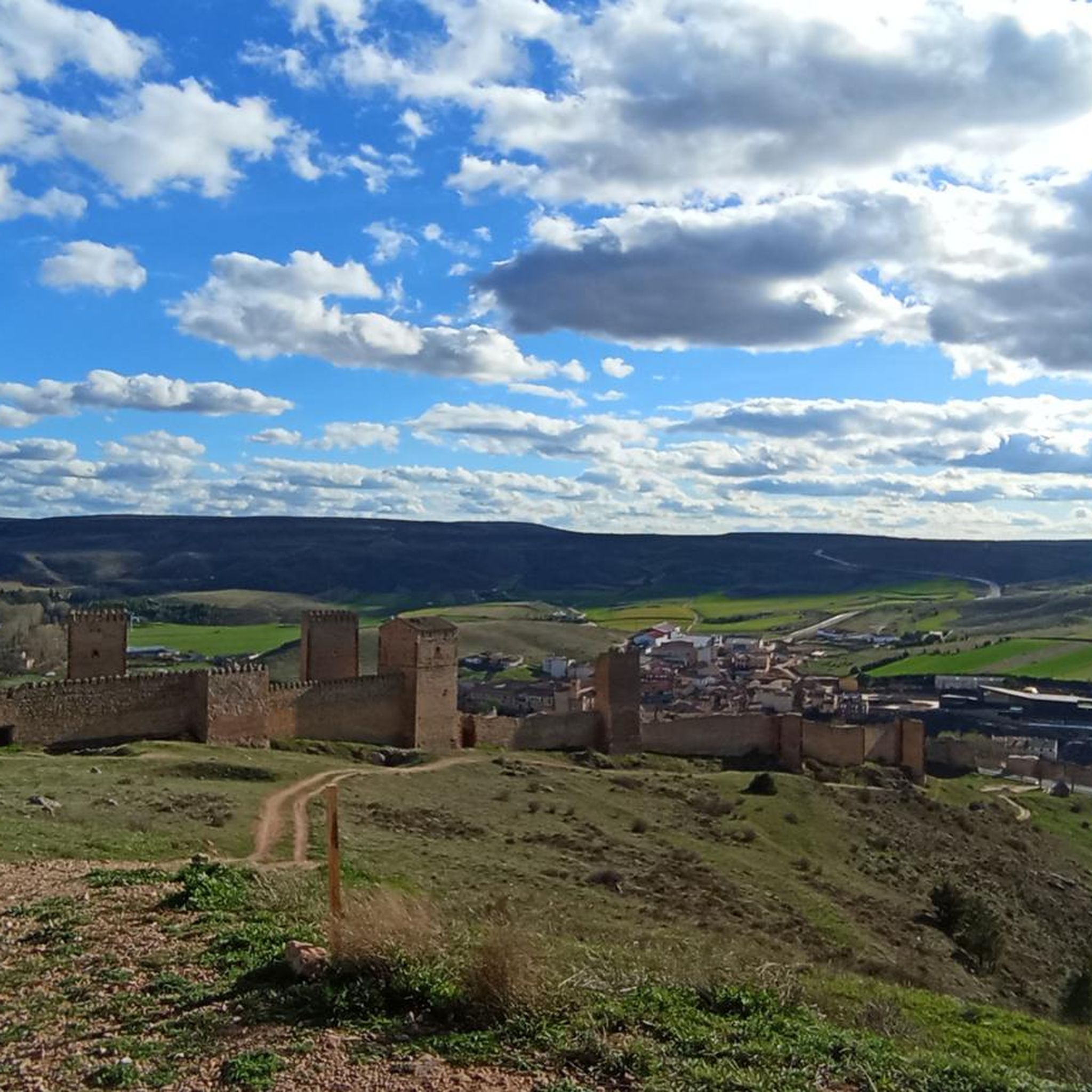
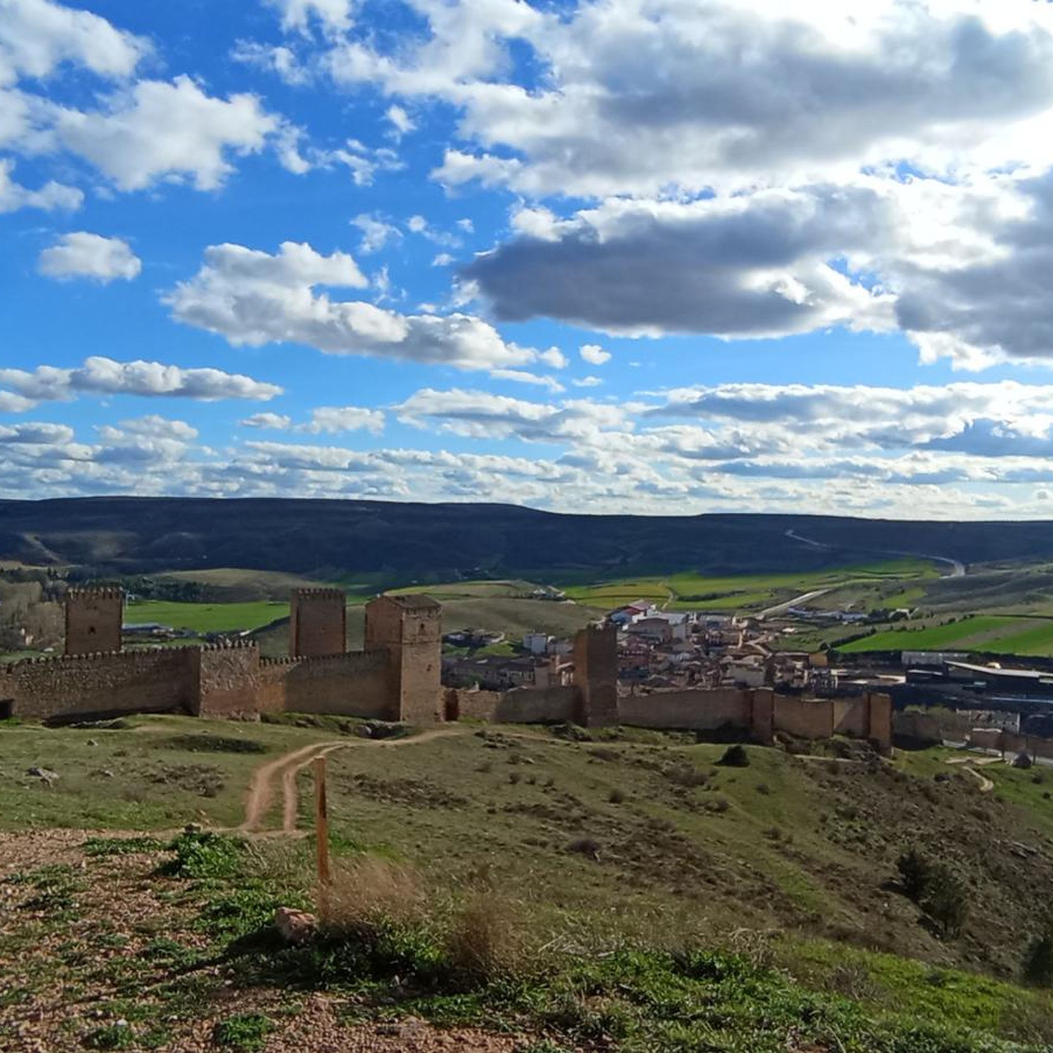
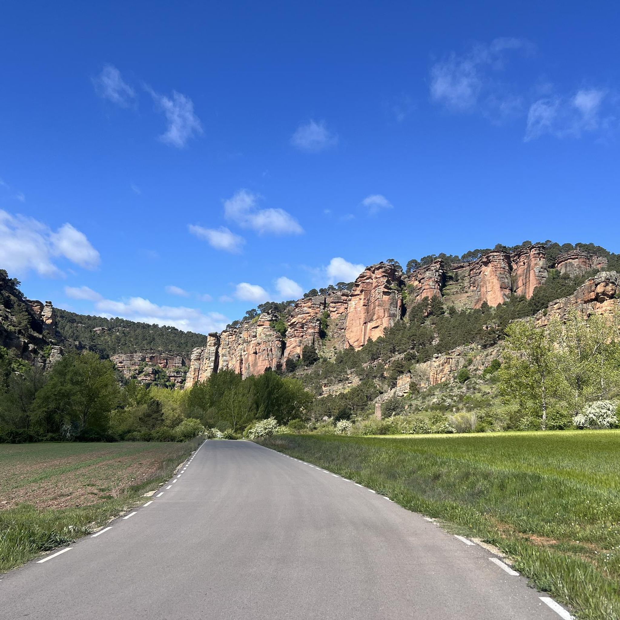
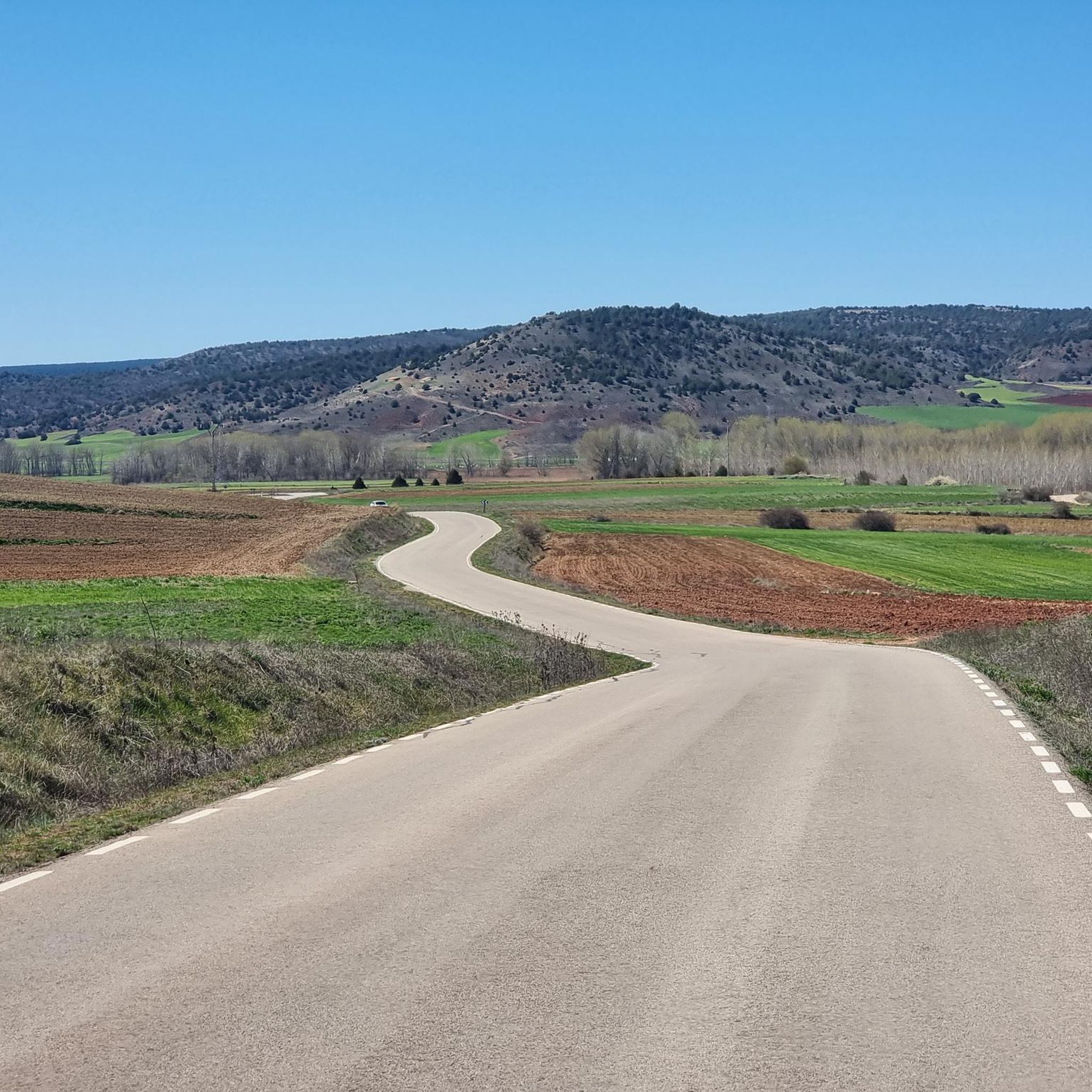
Tips from the Community

Small transient population with little more relevance than a local restaurant by the road and coming from the road a poorly maintained area that can serve as temporary shelter.
0
0

A recommended area for walking.
0
0

Hospedería Virgen de la Hoz is a charming rural accommodation. This place offers a peaceful and natural setting, ideal for relaxing and enjoying outdoor activities such as hiking, cycling and bird watching. The inn has cosy and well-equipped rooms, a restaurant serving delicious à la carte dishes, and a terrace for relaxing. In addition, guests can enjoy Wi-Fi in public areas.
11
0

In Molina we have everything: accommodation, shops, pharmacy. Good place to refuel
1
0
Inn with rural restaurant next to the salt flats
0
0
There is a fountain and a rural house
0
0

The Sanctuary of Our Lady of La Hoz is an extraordinary place for its landscape and religiosity. Beauty, Shadow, water, freshness, nature and Meditation.
1
0

Beautiful town that is located to the south of the Natural Park of Alto Tajo and that represents a typical town of this western area of the Serrania de Cuenca.
0
0
Frequently Asked Questions
What kind of terrain and elevation can I expect on road cycling routes around Rillo de Gallo?
Road cycling around Rillo de Gallo offers varied terrain, from open landscapes and gentle hills to more challenging ascents. The region sits at an altitude of 1,055 meters, with routes reaching up to 1,404 meters, providing diverse elevation profiles. You'll find both moderate and difficult routes, catering to different fitness levels.
Are there any notable landmarks or viewpoints to discover along the road cycling routes?
Yes, the area around Rillo de Gallo is rich in natural and historical sights. You can encounter dramatic scenery like the Cañón del Río Gallos, known for its towering sandstone cliffs. Routes may also pass by historical sites such as the Castle of Molina de Aragón or the Sanctuary of the Virgin of the Hoz. For breathtaking vistas, look for viewpoints like the View of Barranco de la Hoz.
How many road cycling routes are available in the Rillo de Gallo area?
There are over 10 road cycling routes available around Rillo de Gallo, offering a range of distances and difficulties to explore the region's diverse landscapes.
What do other road cyclists enjoy most about cycling in Rillo de Gallo?
The area is highly rated by the komoot community, with an average score of 5.0 stars from over 6 reviews. Cyclists often praise the quiet roads, open landscapes, and the unique geological formations that provide a scenic backdrop for their rides.
Are there any circular road cycling routes available?
Yes, many routes in the area are circular, allowing you to start and end in the same location. For example, the moderate Valle de la Hoz and ascent to Cuevas Labradas — circular from Molina de Aragón offers a scenic journey, or the more challenging Río Bullones from Molina de Aragón — circular via the ZEC Montes de Picaza explores extensive views.
What is a good route for experienced road cyclists looking for a challenge?
Experienced road cyclists seeking a challenge might enjoy the difficult Río Bullones from Molina de Aragón — circular via the ZEC Montes de Picaza. This 98.3 km path features significant elevation gain and explores the ZEC Montes de Picaza, providing extensive views.
Are there any moderate road cycling routes that offer a good balance of distance and elevation?
For a moderate ride, consider the Valle de la Hoz and ascent to Cuevas Labradas — circular from Molina de Aragón. This 60.2 km route takes approximately 3 hours to complete and offers a scenic journey through the valley with a notable ascent.
Can I find routes that pass through historical sites like castles?
Yes, some routes incorporate historical elements. The moderate From Molina de Aragón to Embid Castle — circular via ZEC Natural Monument Sierra de Caldereros is a great option, leading through the ZEC Natural Monument Sierra de Caldereros and past the historic Embid Castle.
What is the best time of year to go road cycling in Rillo de Gallo?
The region's climate, with its varied terrain and open landscapes, generally makes spring and autumn ideal for road cycling. These seasons offer pleasant temperatures and less extreme weather, perfect for enjoying the quiet roads and scenic views.
Are there any routes that explore the geological significance of the area?
Many routes in the Rillo de Gallo area traverse landscapes known for their significant geological formations, including Permian and Triassic fossils. The region's inclusion in a Geopark highlights its geological importance, offering a unique backdrop for your rides. The From Molina de Aragón to Embid Castle — circular via ZEC Natural Monument Sierra de Caldereros route, for instance, passes through a natural monument with geological interest.
Are there any routes that offer views of the local rivers?
Rillo de Gallo is traversed by several rivers, including the Viejo, Herrería or Saúco, and Seco rivers, with the Gallo River flowing nearby. Many routes will offer glimpses of these waterways, adding to the natural beauty of the ride. The Río Bullones from Molina de Aragón — circular via the ZEC Montes de Picaza route, for example, is named after a local river.
What is the longest road cycling route available in the area?
The longest route available is the difficult Río Bullones from Molina de Aragón — circular via the ZEC Montes de Picaza, which covers 98.3 km and features significant elevation gain.
Most popular attractions around Rillo De Gallo

Get inspired with the komoot mobile app


Explore more
Browse the best Road cycling routes in other regions.
