The 8 Most Amazing Peaks around Covaleda
Best mountain peaks around Covaleda are found within the Sistema Ibérico, offering a landscape shaped by glacial activity. This region in Soria province is characterized by rugged terrain, dense pine forests, and significant geographical features. It is home to the source of the Duero River and several prominent summits. The area provides diverse opportunities for outdoor activities, from challenging ascents to scenic walks around glacial lakes.
Best mountain peaks around Covaleda
- The most popular mountain peaks is Pico de Urbión…
Last updated: August 23, 2026
Pico de Urbión
Highlight • Summit
Translated by Google •
Tip by

Picacho del Camperón (2,101 m)
Highlight • Summit
Translated by Google •
Tip by

Sign up now to discover places like this
Get recommendations on the best single tracks, peaks, & plenty of other exciting outdoor places.
Sign up for free
Laguna Negra, Pico de Urbión, and Source of the Duero River
Highlight • Lake
Translated by Google •
Tip by

Castillo de Vinuesa (2,083 m)
Highlight • Summit
Translated by Google •
Tip by

Access to Pico de Urbión
Highlight • Trail
This point symbolizes the access to reach it.
Translated by Google •
Tip by

Sign up for free to discover even more peaks around Covaleda.
Sign up for free
Already have an account?
Start today with a free account
Your next adventure awaits.
Login or Signup
Popular around Covaleda
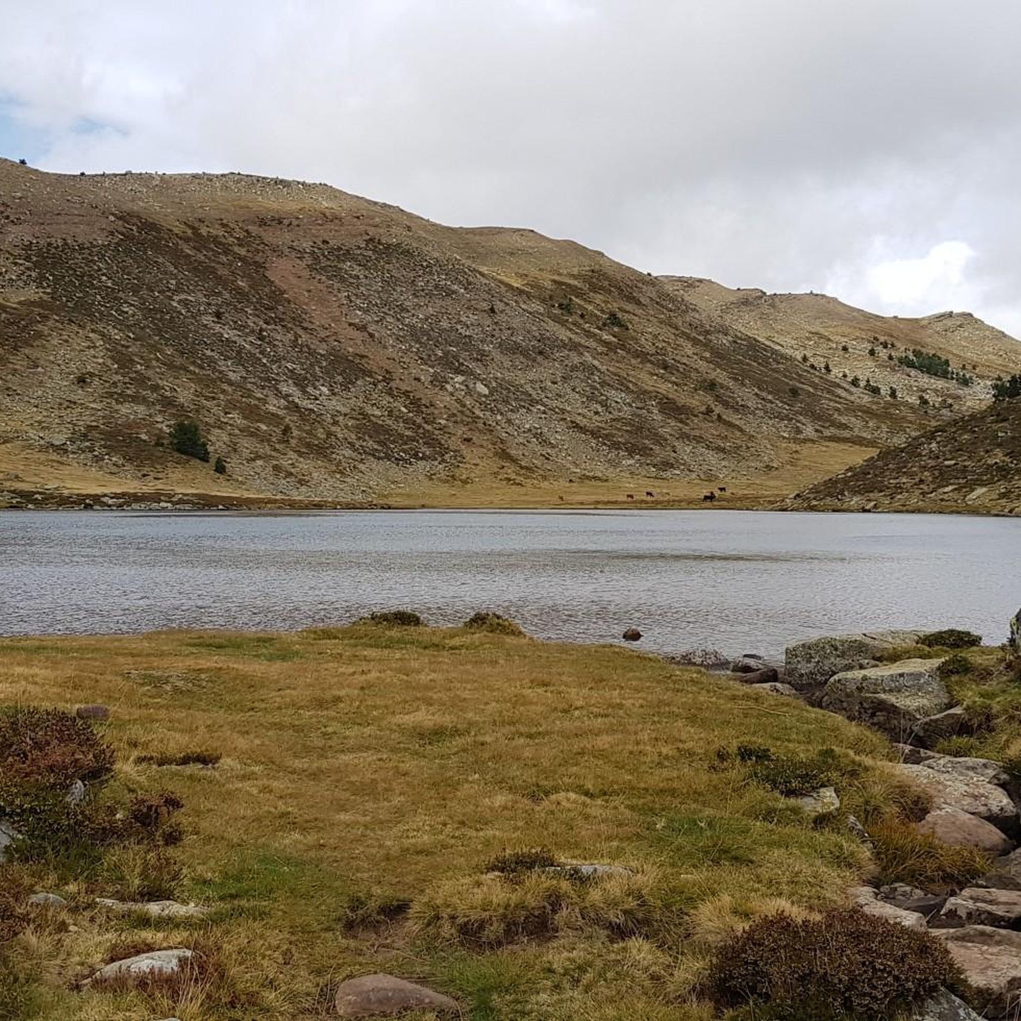
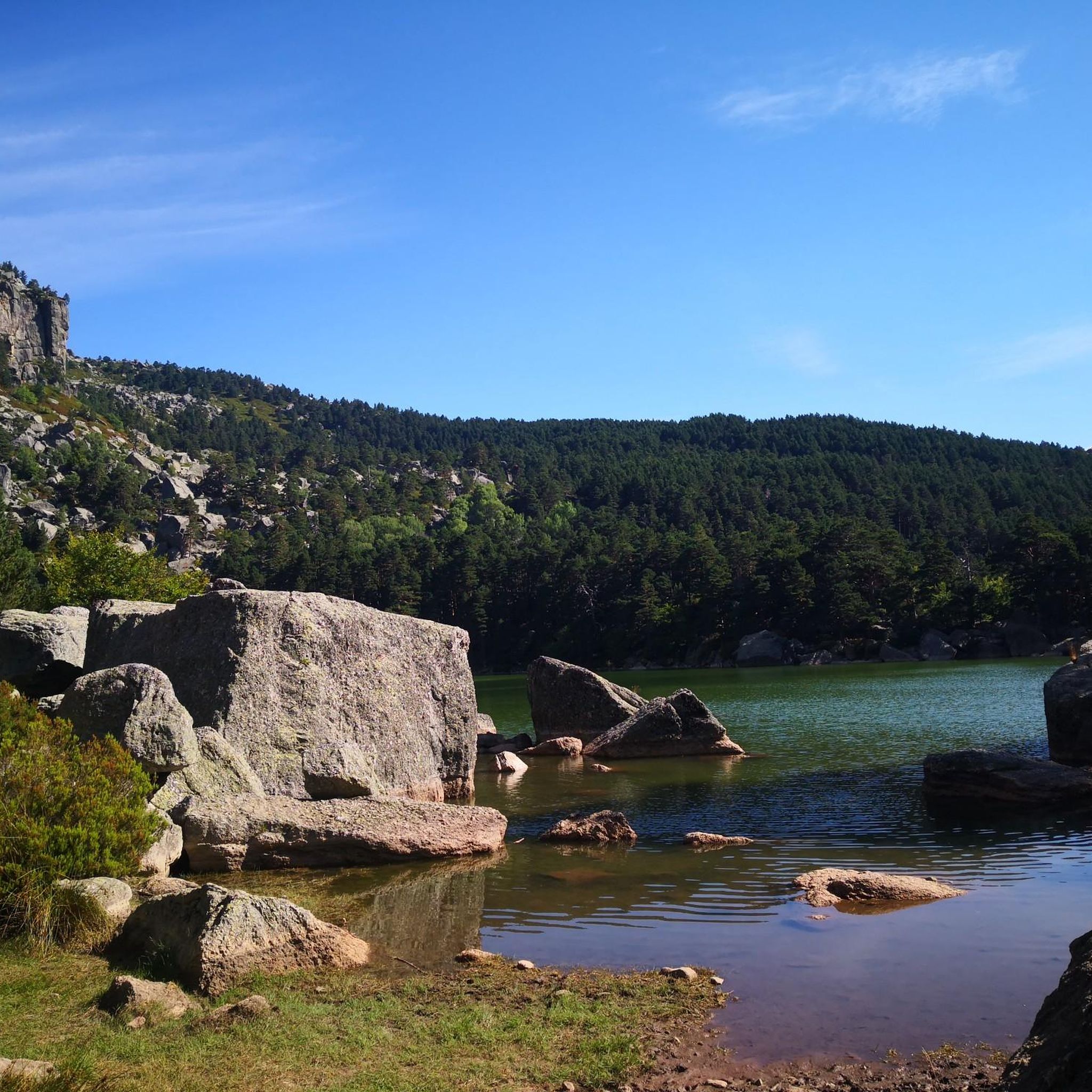
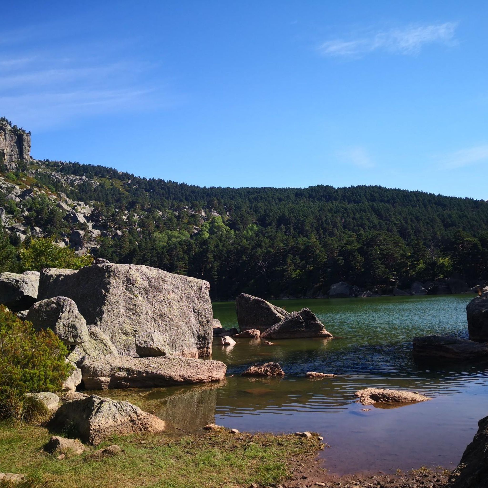
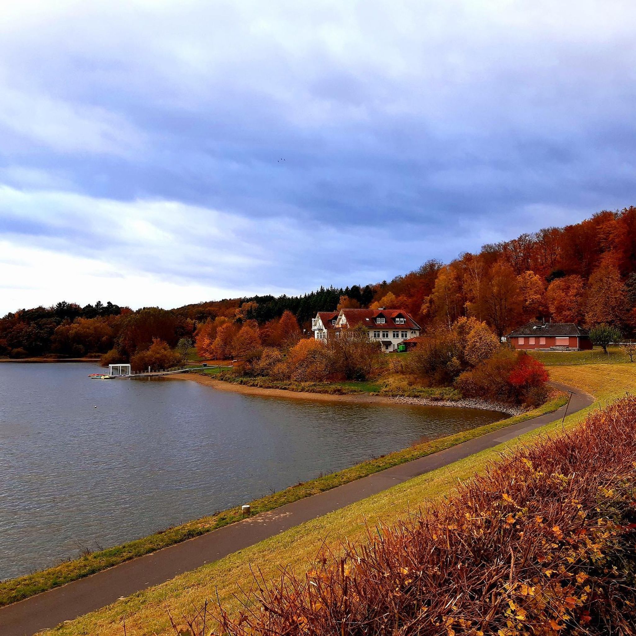


Tips from the Community

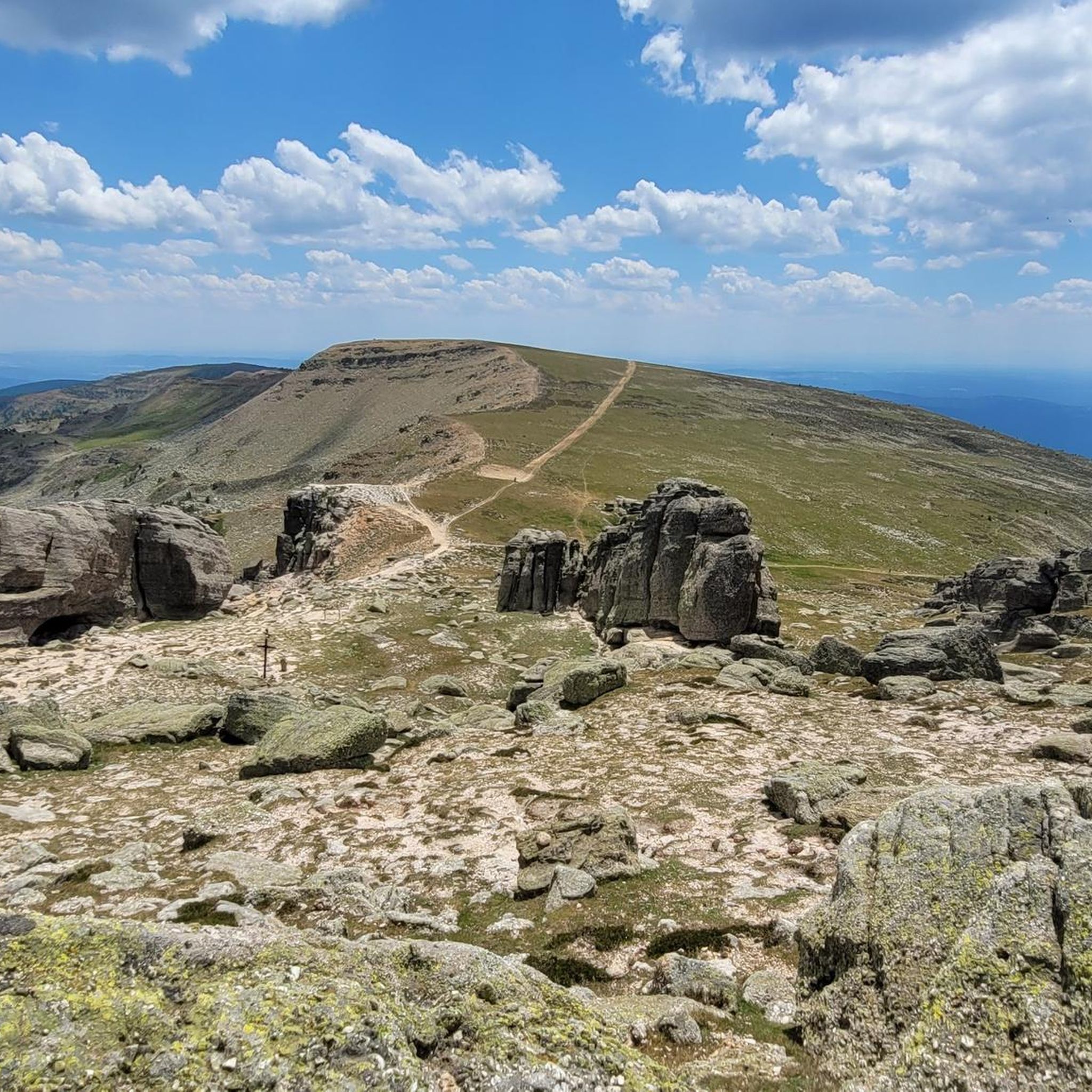
Picacho del Camperón is an impressive peak located in the Sierra de Urbión, on the border between Soria and La Rioja. At the top of Picacho del Camperón, you'll find an ice axe stuck in a rock, resembling the sword in Excalibur.
1
0

Nice area for outdoor activities.
0
0
Pico de Urbión is an ideal destination for hiking lovers. It is located between the autonomous community of La Rioja and the provinces of Soria and Burgos (Castilla y León). It limits to the north with the Najerilla valley, to the south with the Duero valley, to the west with the Neila mountain range, and to the east with the Cebollera mountain range.
3
0

A very nice hike to the source of the famous Rio Duero...
0
0

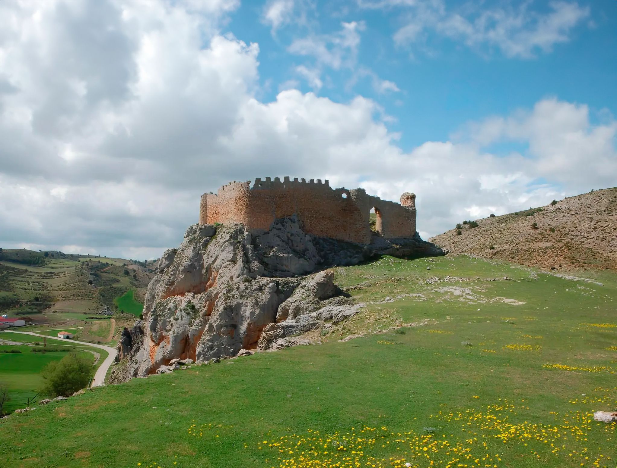
The first part of the climb is easy to follow, there are meadows and clearings between the trees, then cliffs and stony areas appear and it is better to walk around the mountain to the north and reach the eastern slope of the Castillo de Vinuesa. The summit is an elongated north/south massif and the main summit is some rocky turrets on the south side, you have to follow the paths that skirt the east face and at the end the cliff appears where the summit sculpture is. The views are magnificent and the top has a particular sensation of vertigo surrounded by small precipices. The Sierra de la Demanda, the Picos de Urbión, the Sierra Cebollera, the Cameros and the rest of the massifs of the central sector of the Iberian System stand out on all sides. The trail descends from the summit in the same place, skirts the mountain again and enters the main path that runs along the mountain range, between the port of Santa Inés and the summit of Pico Cebollera.
0
1

The Urbión peak is in one of the highest mountains in the Iberian System, at 2,228 meters. This point symbolizes the access to reach it.
0
0

At this point we are at the highest peak in the province of Soria. Pico Urbión, located at 2,228 meters above sea level, offers excellent panoramic views wherever we look. All the trails that bring us to the top are great for running and hiking.
1
1
Cresting by the Urbión Peaks, at 2,101 masl we find ourselves in the Picacho del Camperón with magnificent panoramic views of the places that surround us. At the top, a curiosity awaits us, an ice ax nailed to a rock in the style of the Sword of Excalibur.
2
1
Frequently Asked Questions
What are some of the most notable mountain peaks to explore near Covaleda?
The region around Covaleda is home to several impressive peaks. Among the most notable is Pico de Urbión, the highest point in this part of the Sistema Ibérico, offering spectacular 360-degree views. Another significant summit is Picacho del Camperón (2,101 m), known for its magnificent panoramic views and a unique ice ax stuck in a rock at its summit. For a challenging ascent with stunning vistas, consider Castillo de Vinuesa (2,083 m), which features rocky turrets and a particular sensation of vertigo.
What natural features can I expect to see when visiting the mountain peaks near Covaleda?
The mountain peaks near Covaleda, particularly in the Sierra de Urbión range, are renowned for their stunning natural beauty shaped by glacial activity. You can expect to encounter picturesque glacial lakes such as Laguna Negra and Laguna de Urbión. The area is also significant as the source of the Duero River, which begins near Pico de Urbión. Dense pine forests, characteristic of the region, also provide a rich natural environment.
Are there challenging hiking routes to the summits around Covaleda?
Yes, the region offers several challenging routes for experienced hikers. Ascents to peaks like Pico de Urbión and Castillo de Vinuesa (2,083 m) are considered challenging. The route to Castillo de Vinuesa, for instance, involves navigating cliffs and stony areas, leading to rocky turrets at the summit. The ascent from Laguna Negra to Pico Urbión is also known as one of the most complete and beautiful challenging routes in the province.
What makes Pico de Urbión a significant mountain peak to visit?
Pico de Urbión is significant for several reasons. It is the highest peak in the Picos de Urbión range, offering panoramic views. It is also recognized as the source of the Duero River, one of the Iberian Peninsula's most important waterways. The surrounding landscape, including glacial lakes like Laguna Negra, provides dramatic scenery and exceptional hiking opportunities.
Can I find viewpoints with panoramic views in the Sierra de Urbión?
Absolutely. Many of the peaks in the Sierra de Urbión offer magnificent panoramic views. From the summit of Pico de Urbión, you can enjoy spectacular 360-degree vistas of the surrounding landscape. Similarly, Picacho del Camperón (2,101 m) and Castillo de Vinuesa (2,083 m) are also highly regarded for their extensive views, allowing you to see other distant mountain ranges.
Are there any unique features on the summits near Covaleda?
Yes, some summits offer unique points of interest. At the peak of Picacho del Camperón (2,101 m), you'll find an ice ax notably stuck in a rock, reminiscent of the Sword of Excalibur. Castillo de Vinuesa (2,083 m) is characterized by its rocky turrets and small precipices, creating a distinct sense of elevation.
What outdoor activities can I do near the mountain peaks around Covaleda?
The area around Covaleda's mountain peaks is excellent for various outdoor activities. You can find numerous routes for gravel biking, running, and mountain biking. For example, there are challenging running routes like the 'Pico Urbión Loop from Laguna Negra' and various MTB trails that explore the forests and landscapes. You can explore more options in the Gravel biking around Covaleda, Running Trails around Covaleda, and MTB Trails around Covaleda guides.
Are there specific trails for running near the mountain peaks?
Yes, the region offers several running trails, many of which are considered difficult due to the mountainous terrain. A popular option is the 'Pico Urbión Loop from Laguna Negra,' which covers over 13 km. Other trails include the 'Covaleda Waterfalls Trail' and the 'Castroviejo and Cueva Serena Trail.' You can find more details and routes in the Running Trails around Covaleda guide.
What is the best way to access Pico de Urbión?
Covaleda serves as a direct gateway to Pico de Urbión. Visitors can embark on hiking trails directly from the town, or drive part of the way on forest tracks to shorten the walking distance to the peak and its associated lagoons. The highlight Access to Pico de Urbión marks a key point for beginning your ascent.
What do visitors particularly enjoy about the mountain peaks around Covaleda?
Visitors frequently praise the spectacular views from the summits, especially the 360-degree panoramas from Pico de Urbión. The natural beauty of the Sierra de Urbión, including its glacial lakes and the source of the Duero River, is also highly appreciated. Many enjoy the diverse hiking opportunities, ranging from moderate to challenging, and the chance to immerse themselves in the rugged terrain and dense pine forests.
Are there any glacial lakes near the mountain peaks?
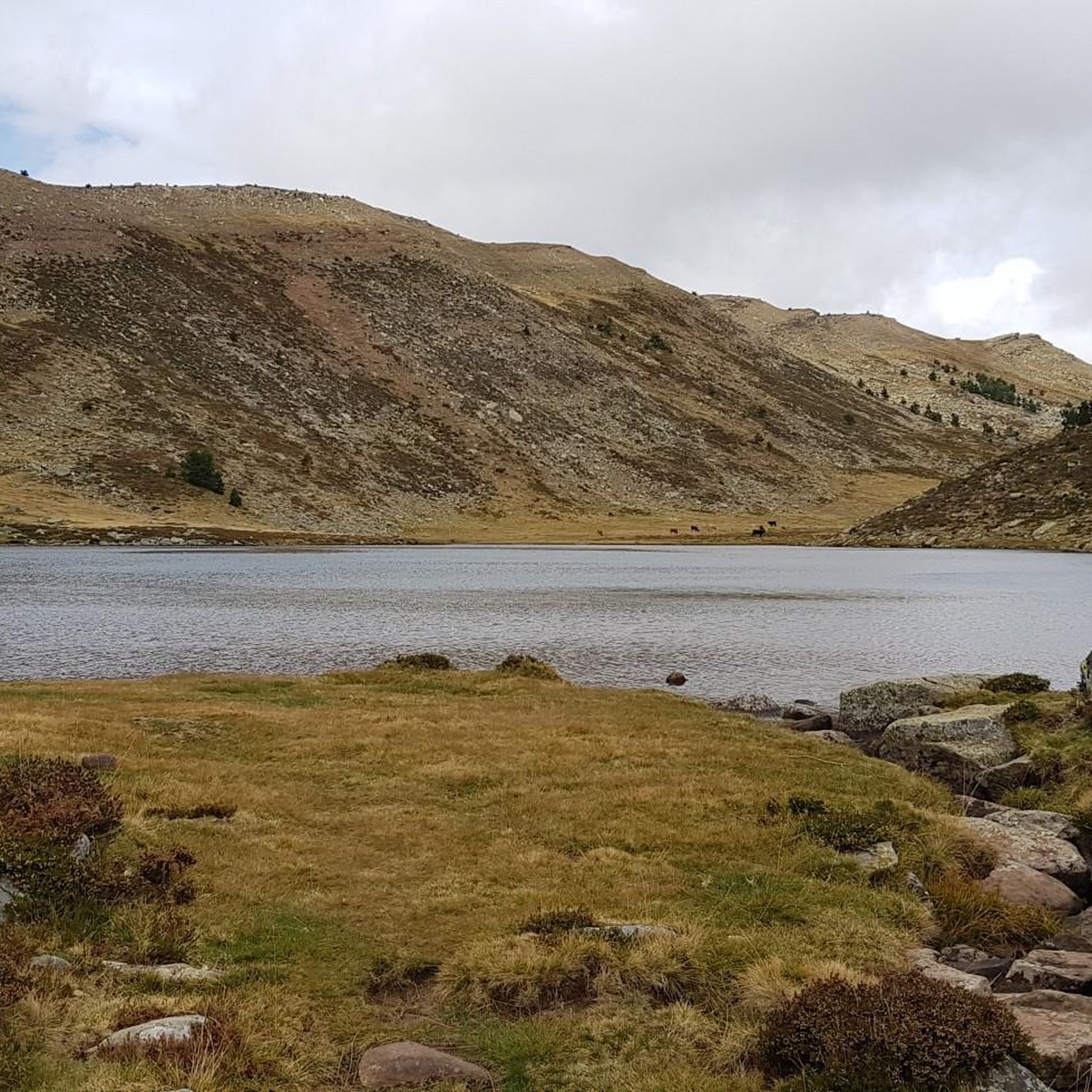
Yes, the region is known for its picturesque glacial lakes. The most famous is Laguna Negra (Black Lagoon), often shrouded in legend, known for its deep, dark waters. Another significant glacial lake is Laguna de Urbión. These lakes are popular spots for hiking and enjoying nature, and in colder winters, Laguna Negra can even freeze over, transforming the landscape. You can visit Laguna Negra, Pico de Urbión, and Source of the Duero River to experience these features.
Most popular routes around Covaleda
Most popular attractions around Covaleda

Get inspired with the komoot mobile app


Explore more
See even more amazing summits around Covaleda with these guides:
