The best road cycling routes around Cidones
5.0
(5)
696
riders
24
rides
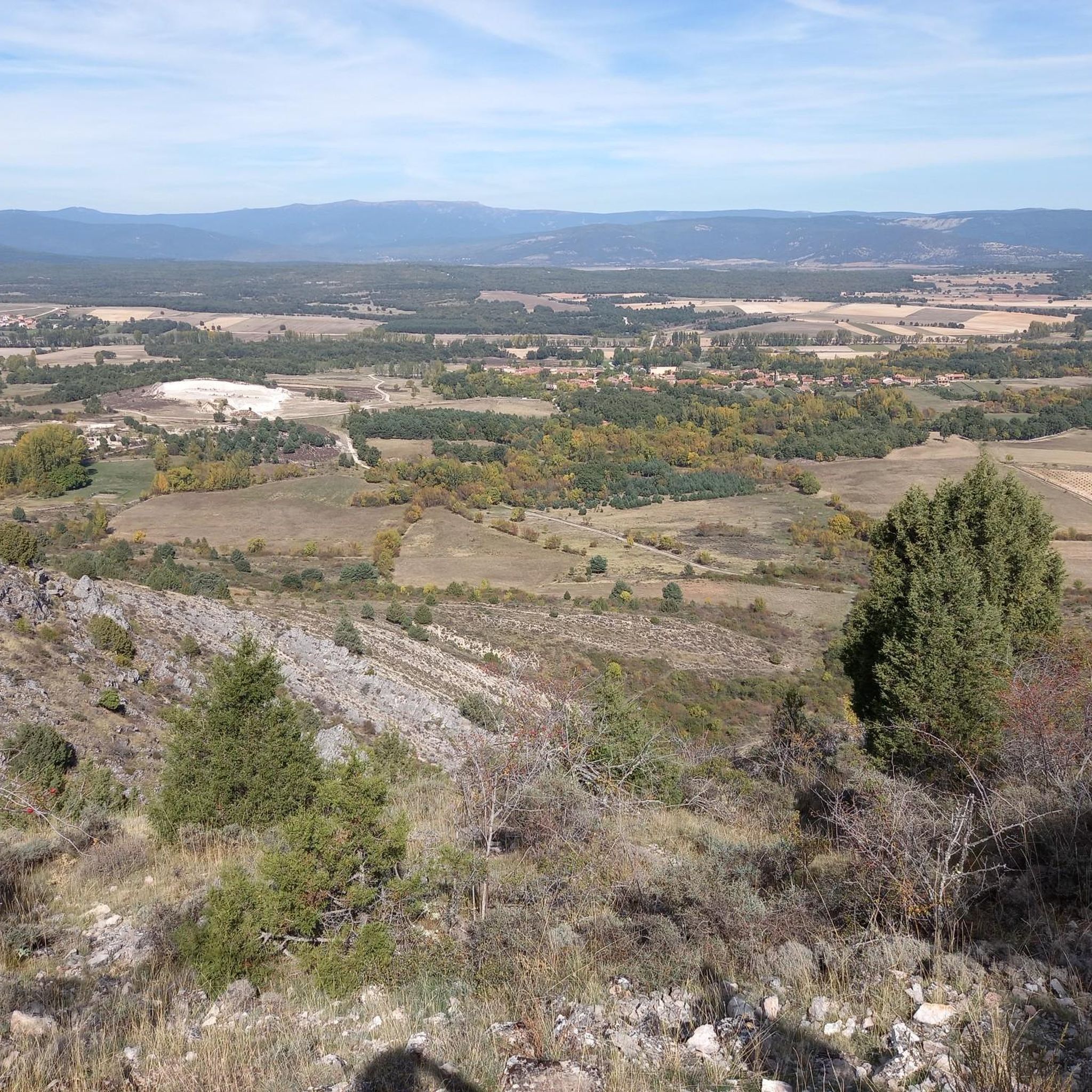
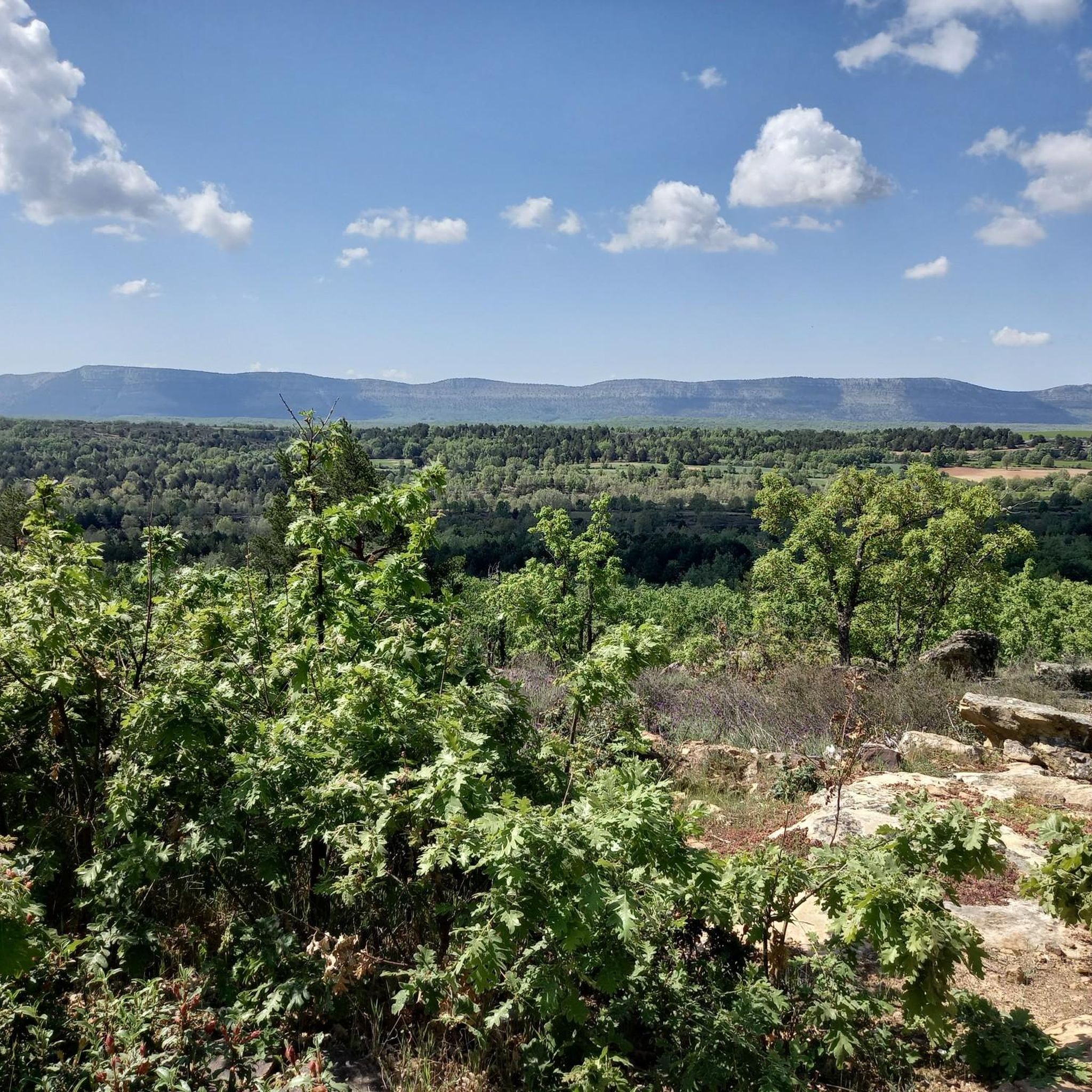
Road cycling routes around Cidones, located in the Spanish province of Soria, traverse diverse natural landscapes. The region features varied terrain, including natural monuments, lakes, and views of the Urbión and Cebollera mountains. It serves as a gateway to the Urbión pine forests and the initial basin of the Duero river. Cyclists can also encounter the Cuerda del Pozo Reservoir, offering varied scenery for road cycling.
Best road cycling routes around Cidones
- The most popular road cycling route is Puerto de Santa Inés y Puerto de Piqueras — circular por el Parque Natural de Sierra Cebollera, a 70.3 miles (113.2 km) trail that takes 5 hours 39 minutes to complete. This difficult route offers significant elevation gain through the Sierra Cebollera Natural Park.
- Another top favourite among local road cyclists is Garray and Embalse de la cuerda del Pozo — circular por la Sierra de Carcaña, a moderate 52.2 miles (84.1 km) path. This route provides views of the Cuerda del Pozo Reservoir and the Sierra de Carcaña.
- Local road cyclists also love the Cañón del Río Lobos and San Leonardo de Yagüe Loop, a 48.9 miles (78.6 km) trail leading through the Cañón del Río Lobos, often completed in about 3 hours 31 minutes.
- Road cycling around Cidones is defined by varied terrain, Urbión pine forests, and the Cuerda del Pozo Reservoir. The network offers options for easy, moderate, and difficult ability levels.
- The routes in Cidones are highly rated by the komoot community with an average score of 5.0 stars from 4 reviews. More than 600 road cyclists have used komoot to explore Cidones's varied terrain.
Last updated: June 28, 2026
42
riders
Hard road ride. Very good fitness required. Mostly well-paved surfaces and easy to ride.
17
riders
Moderate road ride. Good fitness required. Mostly well-paved surfaces and easy to ride.

Sign up for free
5.0
(1)
11
riders
78.6km
03:31
820m
820m
Moderate road ride. Good fitness required. Mostly well-paved surfaces and easy to ride.
12
riders
82.0km
04:41
1,130m
1,130m
Hard road ride. Very good fitness required. Mostly well-paved surfaces and easy to ride.
75
riders
85.0km
04:35
1,590m
1,590m
Hard road ride. Very good fitness required. Mostly well-paved surfaces and easy to ride.
Get access to more routes and recommendations from other explorers.
Sign up for free
Already have an account?
Our route recommendations are based on thousands of hikes, rides, and runs completed by other people on komoot.
Start today with a free account
Your next adventure awaits.
Login or Signup

Tips from the Community

A beautiful village in the PINARES region, in the province of Soria
0
0

Garray witnesses how the Tera River definitively delivers its waters to the Duero. The Celtiberian city of Numancia was located in this area, whose ruins can be visited and give an idea of the importance of this culture on the peninsula.
0
0

Villoslada de Cameros is a small town in La Rioja inhabited by only around 400 people. It is located in a magical setting, at the foot of the Sierra de Cebollera Natural Park.
0
0
From the Cuerda del Pozo reservoir dam there are two views, each one more impressive. On one side, the dammed water fills the bottom of the valley and forms a mirror for the mountains. In the other, the river again runs naturally through the bottom of the depression and slips through the foliage.
0
0

Small town located to the south of the Sierra Cebollera, to the east of the Cuerda del Pozo Reservoir. Beautiful town with its church as the center of the town.
0
0
Mountain pass that reaches more than one thousand three hundred meters in height and has a length of just over seven kilometers on a four percent percentage.
1
0
Frequently Asked Questions
How many road cycling routes are available around Cidones?
There are over 20 road cycling routes around Cidones, offering a diverse range of experiences for cyclists. These routes traverse varied terrain, including natural monuments, serene lakes, and offer views of the Urbión and Cebollera mountains.
What are the difficulty levels of road cycling routes in Cidones?
The routes around Cidones cater to various skill levels. You'll find options for easy rides, moderate challenges, and difficult routes with significant elevation gains. For example, Puerto de Santa Inés y Puerto de Piqueras — circular por el Parque Natural de Sierra Cebollera is a difficult route, while Garray and Embalse de la cuerda del Pozo — circular por la Sierra de Carcaña offers a moderate experience.
Are there any circular road cycling routes in the Cidones area?
Yes, many road cycling routes around Cidones are circular, allowing you to start and end at the same point. Examples include the challenging Puerto de Santa Inés y Puerto de Piqueras — circular por el Parque Natural de Sierra Cebollera and the moderate Garray and Embalse de la cuerda del Pozo — circular por la Sierra de Carcaña, which offers views of the Cuerda del Pozo Reservoir.
What kind of landscapes and natural features can I see while road cycling around Cidones?
Cidones, known as 'La Puerta de Pinares,' offers diverse natural landscapes. Cyclists can enjoy views of the Urbión pine forests, the initial basin of the Duero river, and the majestic Urbión and Cebollera mountains. The Cascada de la Toba is a notable waterfall, and the Source of the Golmayo River provides serene natural beauty. You can also cycle past the Cuerda del Pozo Reservoir, where the Submerged Roman Bridge can sometimes be seen when water levels are low.
Are there any historical or cultural attractions along the road cycling routes?
Yes, the Cidones area is rich in cultural and historical significance. It's part of the larger 'Way of El Cid' cycling routes, which connect numerous castles, citadels, and historical villages. In nearby Abejar, you can find the Parish Church of San Juan Bautista and the Ntra. Sra. del Camino hermitage, which also houses a Museum of Cycling. The Cañada Honda Rock Art Site is another interesting historical point.
What do other cyclists say about road cycling in Cidones?
The road cycling routes around Cidones are highly rated by the komoot community, with an average score of 5.0 stars from 4 reviews. Over 600 road cyclists have explored the varied terrain, often praising the quiet, scenic roads and the diverse natural beauty, from pine forests to mountain views.
What is the best time of year for road cycling in Cidones?
While specific weather conditions vary, the region's diverse landscapes and generally low-traffic minor roads make it appealing for road cycling through much of the year. The 'Way of El Cid' routes are designed for touring, suggesting pleasant conditions outside of extreme summer heat or winter snow, allowing cyclists to enjoy the intensely rural experience.
Are there any facilities or places to rest along the routes?
Yes, some routes pass by or near facilities. For instance, the Fuentervilla Recreation Area and Toledillo Train Stop are points of interest that could offer a break. The region's villages often have small cafes or shops, especially in towns like Abejar, which is a starting point for routes like Bosque de los Pinares — circular desde Abejar.
What kind of roads should I expect for road cycling in Cidones?
The road cycling routes in Cidones primarily utilize minor tarmac roads, which are ideal for road bikes. These roads typically have low traffic, providing a quiet and safe environment for cyclists. While generally smooth, some sections might benefit from slightly wider tires due to potentially uneven terrain, especially in more remote areas.
Can I find routes that explore the Urbión pine forests?
Absolutely. Cidones is known as 'La Puerta de Pinares,' serving as a gateway to the Urbión pine forests. Routes like Bosque de los Pinares — circular desde Abejar specifically take you through these beautiful wooded areas, offering a scenic and immersive cycling experience.
Are there any routes that offer views of the Cuerda del Pozo Reservoir?
Yes, the Cuerda del Pozo Reservoir is a prominent natural highlight in the area. The route Garray and Embalse de la cuerda del Pozo — circular por la Sierra de Carcaña provides excellent views of the reservoir and the surrounding Sierra de Carcaña.
Where can I find parking for road cycling routes in Cidones?
Many routes start from towns or villages like Abejar or Cidones itself, where public parking is generally available. For example, Abejar serves as a starting point for routes such as Bosque de los Pinares — circular desde Abejar and Cuerda del Pozo Reservoir – Molinos de Duero loop from Abejar, making it a convenient place to park and begin your ride.
Most popular attractions around Cidones

Get inspired with the komoot mobile app


Explore more
Browse the best Road cycling routes in other regions.
