The best road cycling routes around Villamiel De La Sierra
4.5
(5)
255
riders
9
rides
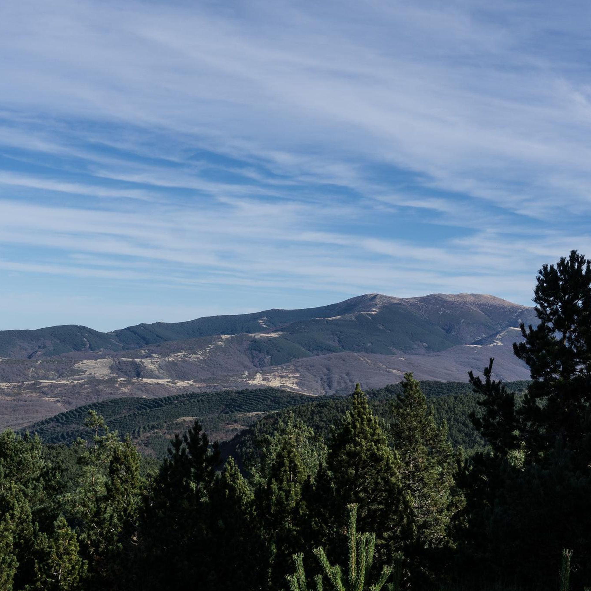
Road cycling around Villamiel De La Sierra offers routes through the Sierra de la Demanda, a region characterized by mountainous terrain and natural features. The area is situated at an elevation of 1,146 meters above sea level, providing varied ascents and descents for cyclists. Routes often traverse greenway sections, winding through oak and beech forests, and offer scenic views over the Arlanzón reservoir. The landscape includes the valley of the Seco River, bordered by the Sierra de Mencilla to the…
Last updated: July 12, 2026
5.0
(1)
154
riders
Moderate road ride. Good fitness required. Mostly well-paved surfaces and easy to ride.
5.0
(1)
31
riders
116km
05:27
1,490m
1,500m
Hard road ride. Very good fitness required. Mostly well-paved surfaces and easy to ride.

Sign up for free
13
riders
139km
06:57
2,260m
2,260m
Hard road ride. Very good fitness required. Mostly well-paved surfaces and easy to ride.
12
riders
56.2km
02:26
520m
520m
Moderate road ride. Good fitness required. Mostly well-paved surfaces and easy to ride.
5.0
(2)
8
riders
37.5km
01:48
460m
460m
Moderate road ride. Good fitness required. Mostly well-paved surfaces and easy to ride.
Get access to more routes and recommendations from other explorers.
Sign up for free
Already have an account?
Our route recommendations are based on thousands of hikes, rides, and runs completed by other people on komoot.
Start today with a free account
Your next adventure awaits.
Login or Signup


Tips from the Community

beautiful climb via the greenway or the road
0
0

a highly recommended area for hiking.
0
0

There is always the solution to difficult points: doing them by road.
0
0

It is worth leaving the "morcilla route" bike path and passing by the monastery.
1
1

With this powerful name, the town has a fountain where we can supply ourselves.
0
0
Next to the church there are signs for St. Olaf's Way.
1
0
The church of San Pedro Apóstol stands out
1
0
Frequently Asked Questions
What is the general terrain like for road cycling around Villamiel De La Sierra?
The region around Villamiel De La Sierra is characterized by mountainous terrain within the Sierra de la Demanda. Cyclists can expect varied ascents and descents, with routes often traversing greenway sections through oak and beech forests. The area is situated at an elevation of 1,146 meters above sea level, offering a challenging yet rewarding experience.
Are there road cycling routes suitable for beginners or those looking for an easier ride?
While the area is known for its mountainous terrain, there are moderate options available. For example, the Atapuerca Archaeological Site – Arlanzón loop from El Peñedo is a moderate 44.2 km route with 341 meters of elevation gain, offering a less strenuous option compared to the more difficult trails.
What kind of natural features and viewpoints can I expect to see along the road cycling routes?
Road cycling routes in this area offer beautiful perspectives over the Arlanzón reservoir and wind through the valley of the Seco River. You can also experience scenic sections of the greenway through oak and beech forests. Notable viewpoints include Beautiful views over the Arlanzón reservoir. The region is part of protected natural areas, preserving unique flora and fauna.
Are there any historical or cultural landmarks to explore near the cycling routes?
Yes, the area offers several points of interest. The Historic Center of Covarrubias – Campolara loop from Jurisdicción de Lara takes you through the historic center of Covarrubias. Additionally, the village of Villamiel de la Sierra itself features the 16th-century Gothic parish church of San Roque and restored mill structures. The Atapuerca Archaeological Site – Arlanzón loop from El Peñedo also passes by the significant Atapuerca Archaeological Site.
What is the best time of year to go road cycling in Villamiel De La Sierra?
The climate in Villamiel De La Sierra is characterized by cold, snowy winters and warm, dry summers. Therefore, the best time for road cycling is generally during the warmer, drier months of spring, summer, and early autumn to fully enjoy the natural surroundings and avoid winter conditions.
Are there any circular road cycling routes available?
Yes, many of the road cycling routes around Villamiel De La Sierra are designed as loops. For instance, the Campolara – Romanesque Bridge of Los Ausines loop from Jurisdicción de Lara is a popular 87.4 km circular route, and the Road before Tosantos – Retorto River Valley loop from Valle del Sol is a challenging 115.9 km loop.
What do other road cyclists say about the routes in Villamiel De La Sierra?
The road cycling routes in Villamiel De La Sierra are highly rated by the komoot community, with an average score of 4.3 stars from more than 4 reviews. Over 250 road cyclists have used komoot to explore the varied terrain, often praising the mountainous landscapes and scenic greenway sections.
Is there parking available for cyclists in Villamiel De La Sierra?
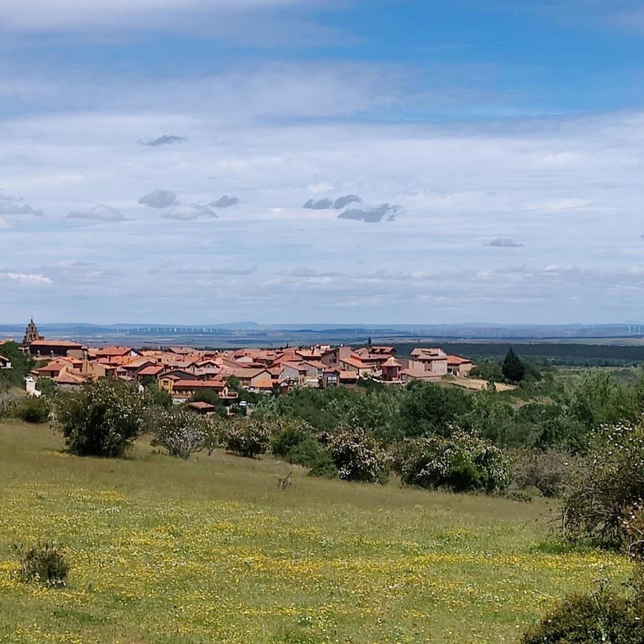
Villamiel de la Sierra is a quiet, traditional village. While specific designated cyclist parking areas are not detailed, parking is generally available within the village, especially near the main square or along less-trafficked streets, suitable for those looking to start their rides from the village center.
Can I reach Villamiel De La Sierra using public transport with my bike?
Villamiel de la Sierra is approximately 34.8 km from the city of Burgos. Public transport options directly to the village with bike carriage facilities may be limited due to its rural location. It is advisable to check local bus services from Burgos for their bike policies or consider driving to the area.
Are there any cafes or places to stop for refreshments along the road cycling routes?
Villamiel de la Sierra itself has a small square with a bar and terrace, offering a pleasant stop for refreshments. While specific cafes directly on all routes are not detailed, many routes pass through or near small villages where local establishments might be found. Planning your route with potential stops in mind is recommended.
What are some of the more challenging road cycling routes in the area?
For experienced cyclists seeking a challenge, the Road before Tosantos – Retorto River Valley loop from Valle del Sol is a difficult 115.9 km path with substantial climbs, navigating the Retorto River Valley. Another challenging option is the Campolara – Romanesque Bridge of Los Ausines loop from Jurisdicción de Lara, a moderate route with significant elevation gain over 87.4 km.
Are there any accommodations suitable for cyclists in Villamiel De La Sierra?
Villamiel de la Sierra attracts those interested in rural tourism, suggesting that there are likely rural guesthouses or small accommodations available. These often cater to outdoor enthusiasts, including cyclists, providing a base for exploring the surrounding Sierra de la Demanda.
Most popular routes around Villamiel De La Sierra
Most popular attractions around Villamiel De La Sierra

Get inspired with the komoot mobile app


Explore more
Browse the best Road cycling routes in other regions.
