The best walks and hikes around Stadtwald Göttingen und Kerstlingeröder Feld
4.5
(5104)
25,382
hikers
20
hikes
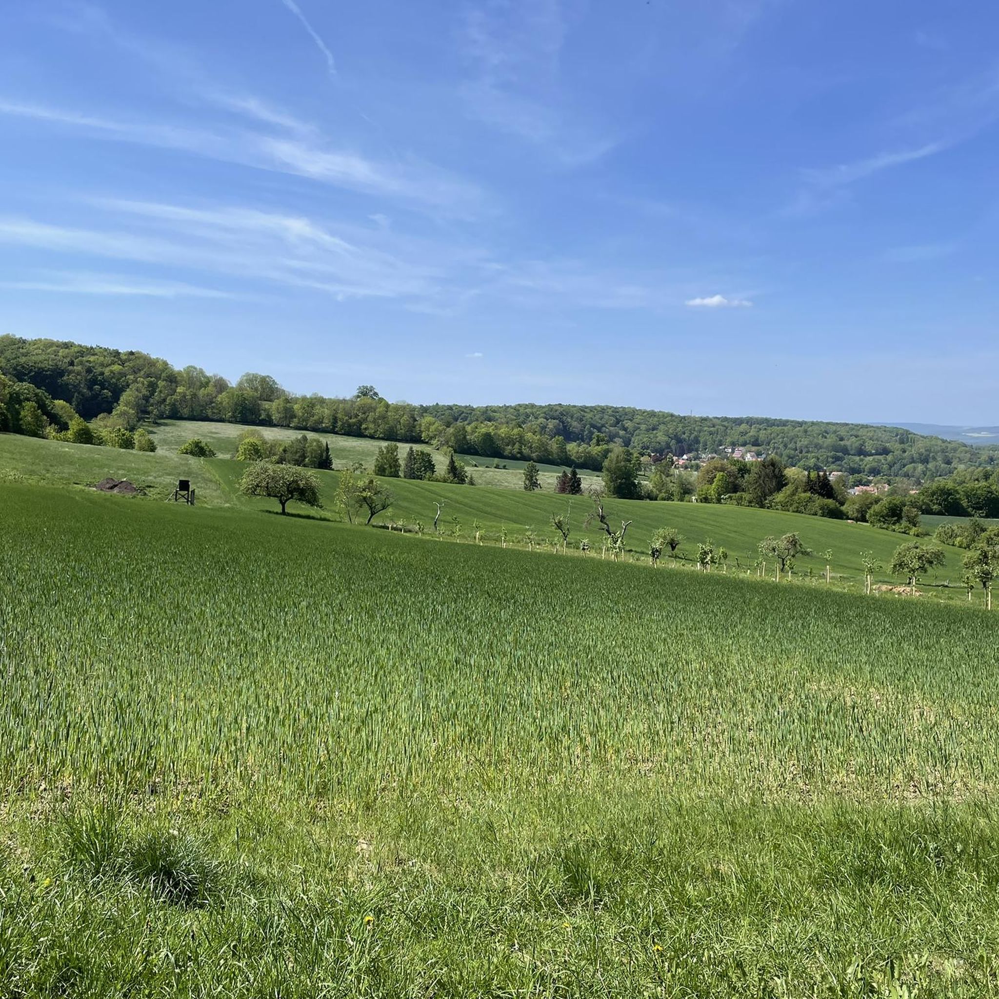
Hiking around Stadtwald Göttingen und Kerstlingeröder Feld offers diverse landscapes for outdoor enthusiasts. The Stadtwald Göttingen features rich deciduous mixed forests and elevations like the 427-meter Mackenröder Spitze. Adjacent to it, the Kerstlingeröder Feld is a nearly 200-hectare nature reserve characterized by open meadows, scattered bushes, and historical remnants. This region provides a variety of hiking trails across varied topography.
Best hiking trails around Stadtwald Göttingen und Kerstlingeröder Feld
- The most popular hiking route is Seckborn Pond – Seckbornhütte Picnic…
Last updated: October 14, 2026
4.6
(12)
23
hikers
Easy hike. Great for any fitness level. Easily-accessible paths. Suitable for all skill levels.
4.7
(6)
16
hikers
Moderate hike. Good fitness required. Easily-accessible paths. Suitable for all skill levels.

5.0
(4)
19
hikers
Moderate hike. Good fitness required. Easily-accessible paths. Suitable for all skill levels.
4.0
(1)
9
hikers
8.06km
02:16
160m
160m
Moderate hike. Good fitness required. Easily-accessible paths. Suitable for all skill levels.
4.5
(2)
11
hikers
Easy hike. Great for any fitness level. Easily-accessible paths. Suitable for all skill levels.
Get access to more routes and recommendations from other explorers.
Already have an account?
Our route recommendations are based on thousands of hikes, rides, and runs completed by other people on komoot.
Start today with a free account
Your next adventure awaits.
Popular around Stadtwald Göttingen und Kerstlingeröder Feld
Cycling around Stadtwald Göttingen und Kerstlingeröder Feld
Gravel biking around Stadtwald Göttingen und Kerstlingeröder Feld
Road Cycling Routes around Stadtwald Göttingen und Kerstlingeröder Feld
Running Trails around Stadtwald Göttingen und Kerstlingeröder Feld
MTB Trails around Stadtwald Göttingen und Kerstlingeröder Feld
Tips from the Community

Beautiful location in the Göttingen city forest
0
0

The forest meadow is a welcome sight after long stretches of forest.
10
0
Near the Mackenröder Spitze, at 427 m the highest point of the Göttingen Forest, there is a beautiful shelter and a memorial stone.
6
0

Huge and massive, built of stone, the tower is located very close to Göttingen. Depending on the route, reaching it can be strenuous. It's open until 6 pm on weekends and public holidays. It also looks beautiful at night when it's illuminated.
6
0

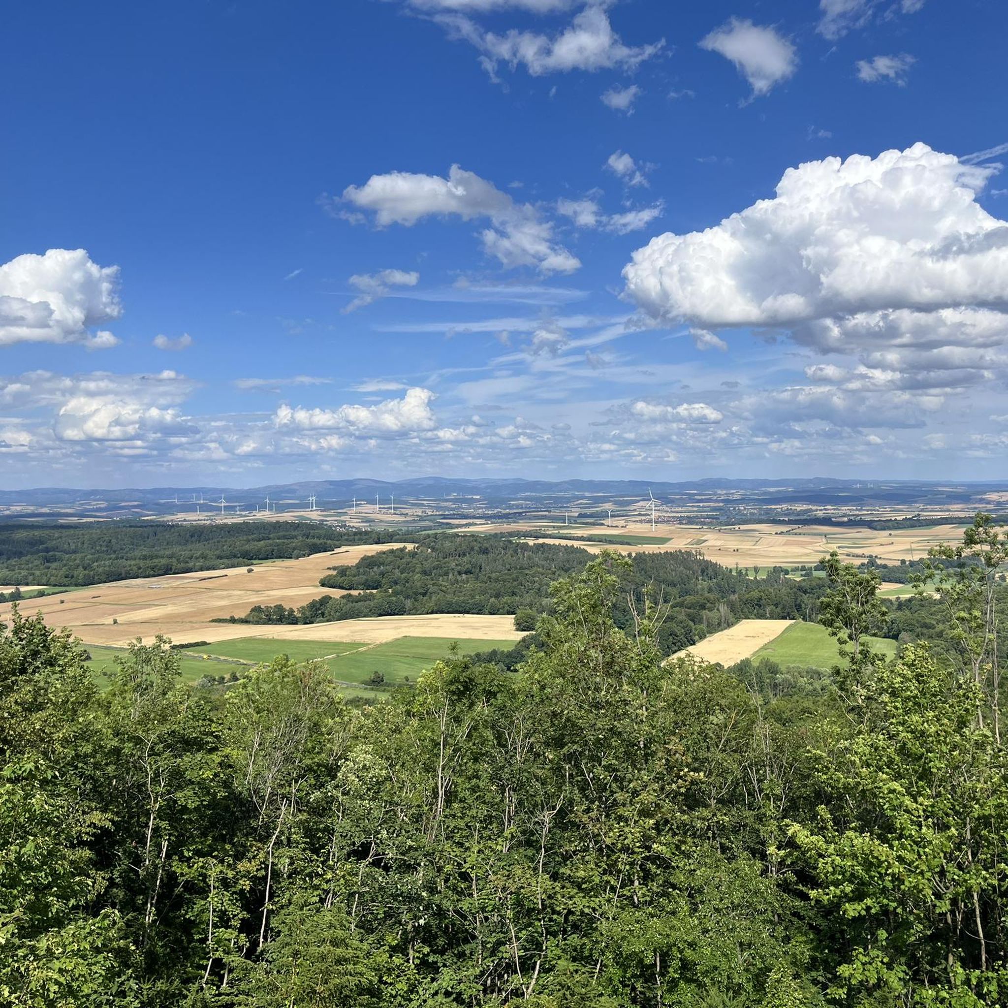
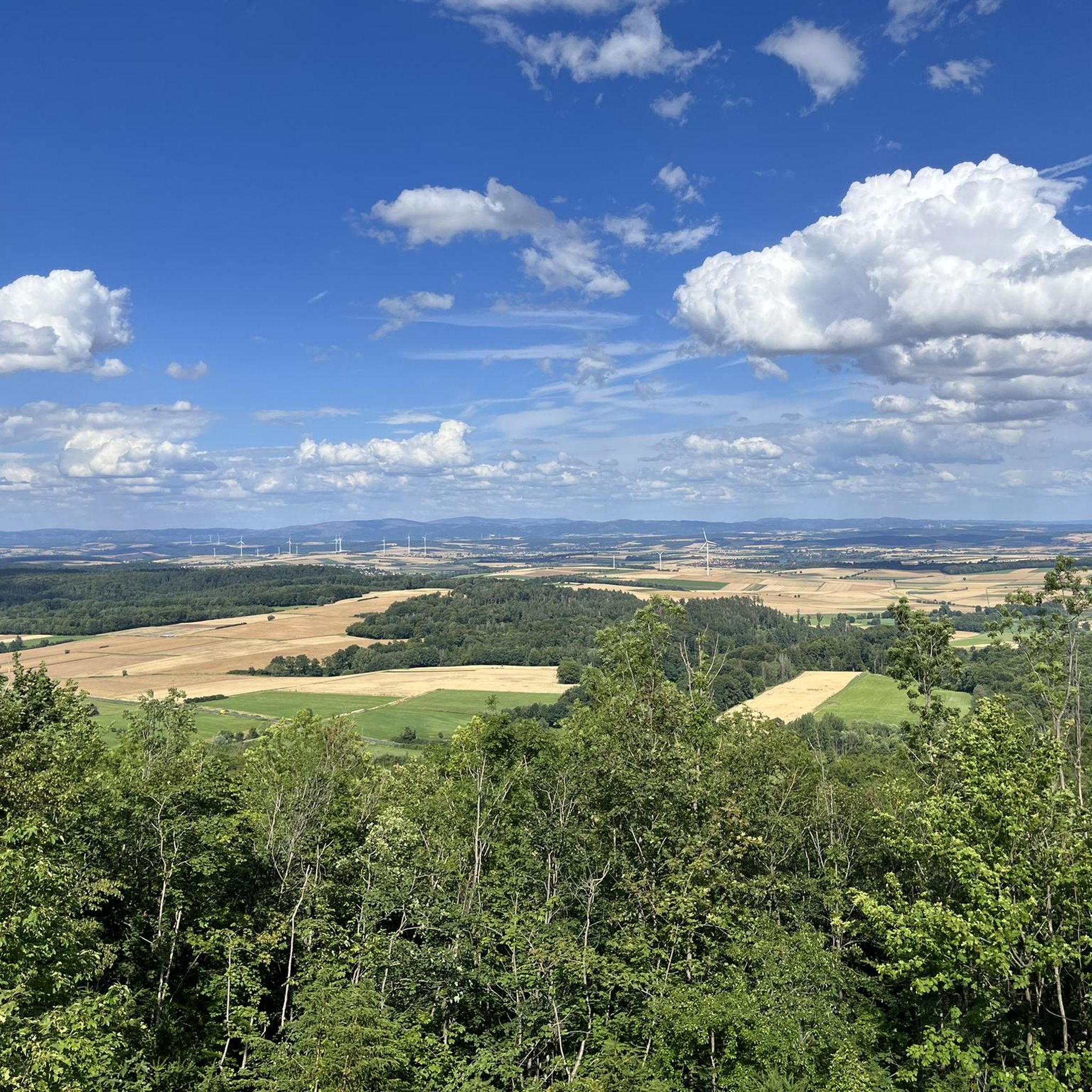
View of the Golden Mark western Eichsfeld with Seeburger See, southwestern Harz, Roter and Langer Berg.
1
0

Less of a pond, more of a spring.. Still a very nice quiet place
1
0


Frequently Asked Questions
How many hiking trails are there in Stadtwald Göttingen und Kerstlingeröder Feld?
The region offers a diverse network of over 19 hiking trails. These range from easy strolls to more challenging moderate treks, ensuring options for various ability levels.
Are there easy or family-friendly hiking routes in the area?
Yes, the Stadtwald Göttingen and Kerstlingeröder Feld are well-suited for families and those seeking easier walks. There are 15 easy routes available. A popular choice is the Seckborn Pond – Seckbornhütte Picnic Area loop from Herberhausen, an easy 4.2 km trail that includes a picnic area.
What kind of wildlife can I expect to see while hiking?
The area is rich in biodiversity. In the Stadtwald, you can visit the Kehr Wildlife Enclosure, home to wild boars and deer. The Kerstlingeröder Feld, a nature reserve, is known for over 650 butterfly species and rare birds like the Eurasian Wryneck and Grey-headed Woodpecker.
Are there any circular hiking routes?
Yes, many trails in Stadtwald Göttingen and Kerstlingeröder Feld are designed as loops. For example, the Mackenröder Spitze Shelter – Harzblick Lookout Tower loop from Herberhausen is a 7.6 km circular trail leading through forested areas to an observation tower.
What are some notable landmarks or points of interest along the trails?
Hikers can discover several interesting spots. In the Stadtwald, you'll find the Mackenröder Spitze Shelter and the Harzblick observation tower, offering panoramic views. The Kerstlingeröder Feld features the ruins of the Gutsruine von Wangenheim and the fascinating Fossil Seabed from the Muschelkalk Period, an old quarry revealing a 240-million-year-old exposed seabed.
Can I bring my dog on the hiking trails?
Yes, the Stadtwald Göttingen and Kerstlingeröder Feld generally welcome dogs. Many trails are suitable for dog walking, but it's always advisable to keep them on a leash, especially in nature reserve areas like Kerstlingeröder Feld, to protect local wildlife.
Are there places to eat or get refreshments along the hiking routes?
Yes, the region offers refreshment options, making it suitable for extended day trips. While specific restaurants vary by route, you can often find forest houses or shelters like the Seckbornhütte Picnic Area that provide good spots for a break.
What do other hikers enjoy most about this area?
The area is highly rated by the komoot community, with an average score of 4.5 stars from nearly 100 reviews. Hikers often praise the diverse landscapes, from rich deciduous forests to open meadows, and the well-maintained, clearly marked paths that lead past scenic and historical points of interest.
When is the best time of year to hike in Stadtwald Göttingen und Kerstlingeröder Feld?
The region is beautiful year-round. Spring and summer offer vibrant flower-rich meadows, especially in Kerstlingeröder Feld, while autumn provides stunning deciduous forest colors in the Stadtwald. Even winter hikes can be enjoyable, offering a different perspective of the landscape.
How can I reach the hiking areas by public transport?
Both Stadtwald Göttingen and Kerstlingeröder Feld are generally accessible. The Stadtwald, located east of Göttingen, is easily reached from the city. Specific bus routes often serve the edges of these areas, allowing access to various trailheads. It's recommended to check local bus schedules for the most current information on stops near your desired starting point.
Are there any good viewpoints in the area?
Absolutely. The Squirrel enclosure at Kehr – View over the Kerstlingeröder Feld loop from Zietenterrassen offers excellent views over the Kerstlingeröder Feld. Additionally, the Harzblick observation tower in the Stadtwald provides panoramic vistas, and on clear days, you might even see the Brocken mountain.
Where can I find parking for hiking trails?
Designated parking areas for hikers are available at various access points to both Stadtwald Göttingen and Kerstlingeröder Feld. These are typically well-signposted. For specific trailheads, it's advisable to check the route details on komoot for recommended parking locations.
Most popular routes around Stadtwald Göttingen und Kerstlingeröder Feld
Most popular attractions around Stadtwald Göttingen und Kerstlingeröder Feld

Get inspired with the komoot mobile app


Explore more
Browse the best Hikes in other regions.
