The best cycling routes around Villavelayo
5.0
(2)
119
riders
13
rides
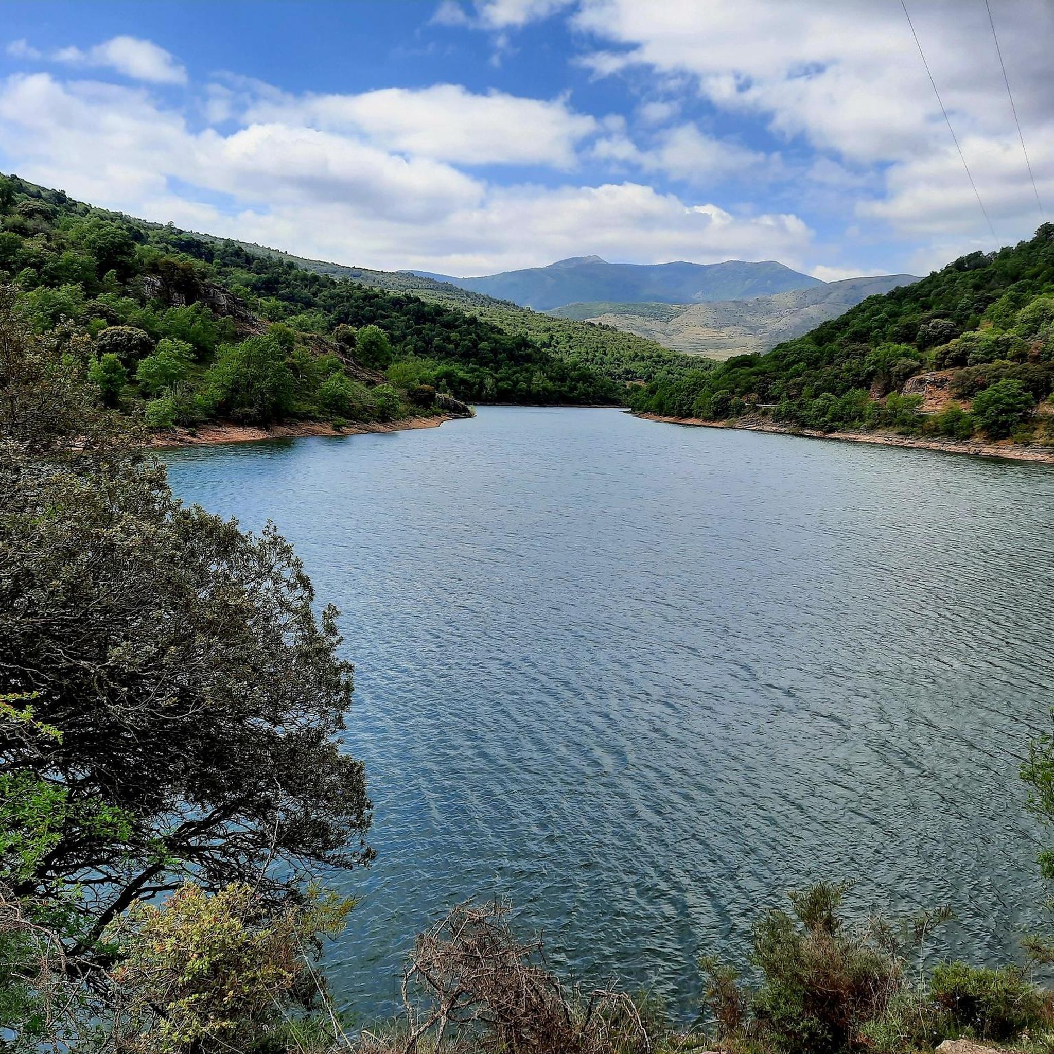
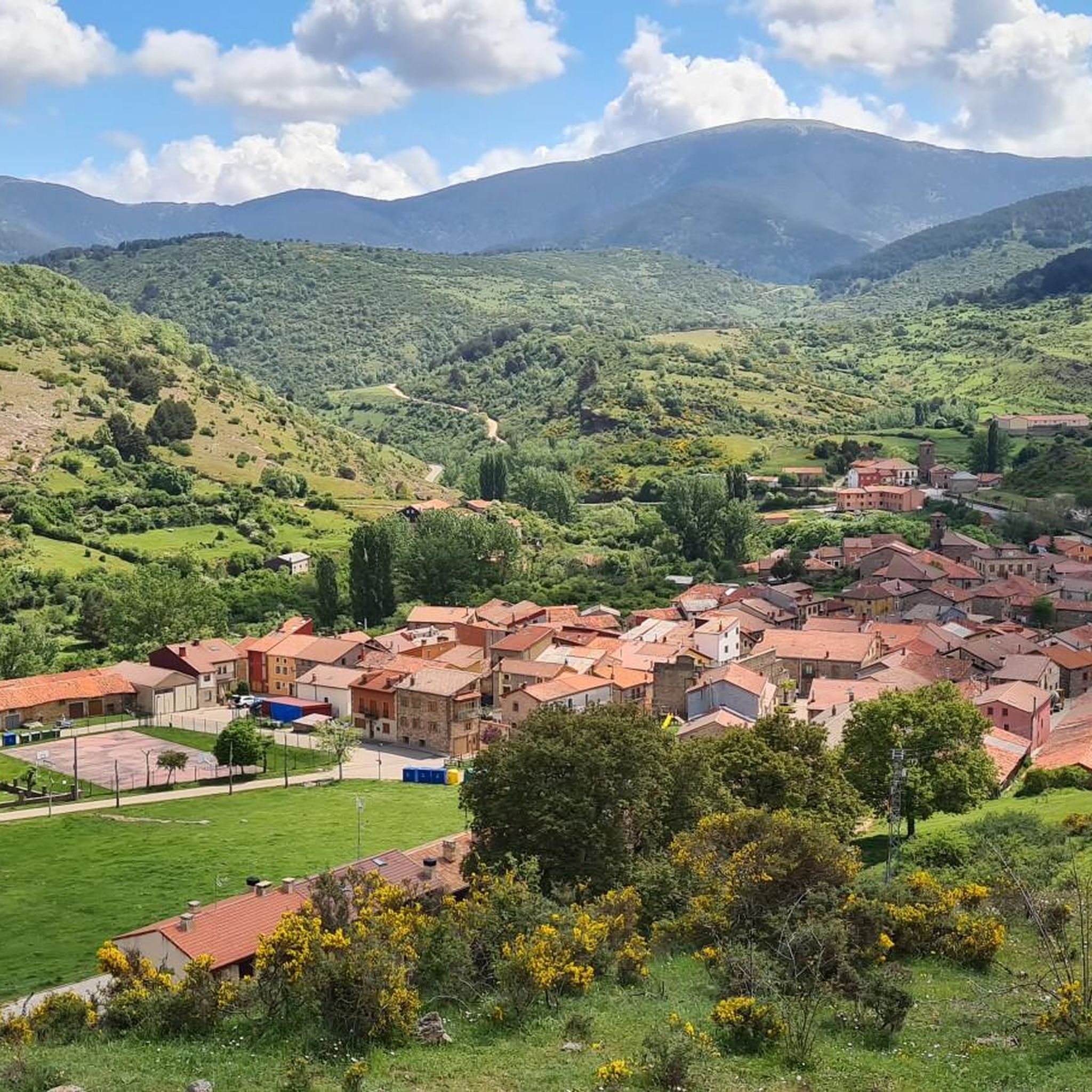
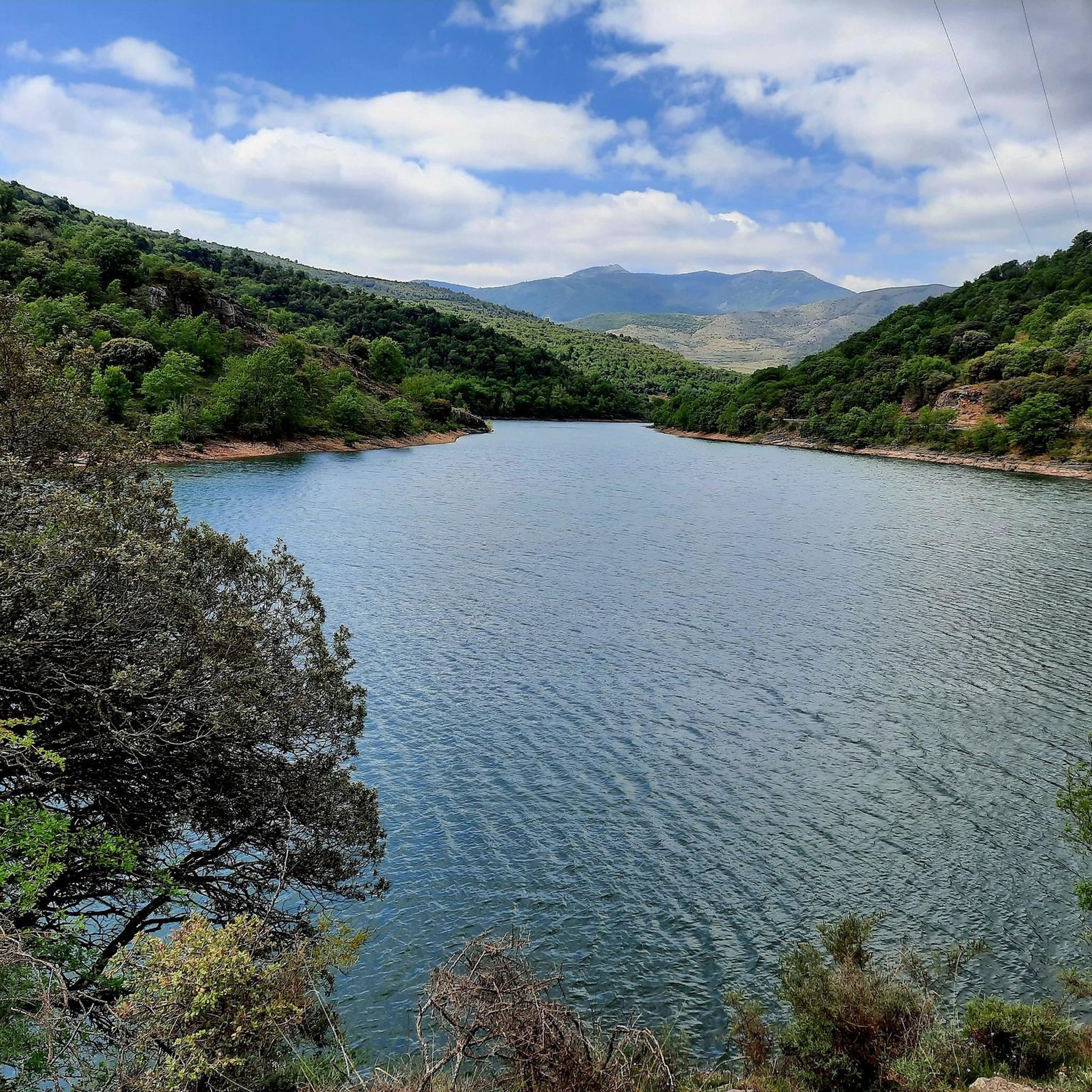
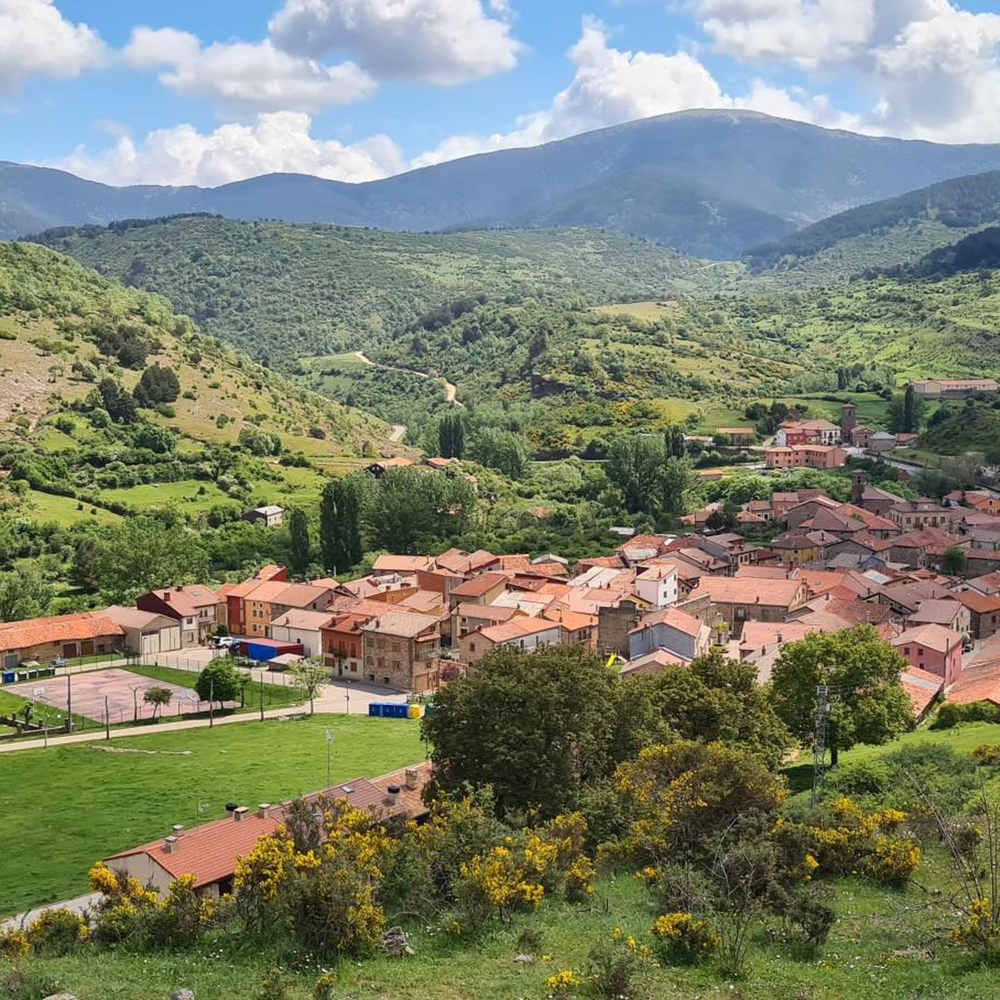
Touring cycling around Villavelayo offers routes through the Sierra de la Demanda mountains in La Rioja, Spain. The area is situated at an elevation of approximately 940 to 964 meters, featuring a varied and mountainous terrain between the San Lorenzo and Urbión peaks. Cyclists can explore extensive beech forests, follow the courses of the Canales and Neila rivers, and encounter diverse flora including oak and holly trees. The landscape provides varying elevation profiles, from hills to more demanding climbs.
Best…
Last updated: June 28, 2026
5.0
(1)
2
riders
Hard bike ride. Good fitness required. You may need to push your bike for some segments of this route.
25
riders
43.1km
03:50
960m
960m
Hard bike ride. Very good fitness required. Mostly paved surfaces. Suitable for all skill levels.

Sign up for free
5.0
(1)
21
riders
37.2km
02:27
530m
530m
Hard bike ride. Very good fitness required. Mostly paved surfaces. Suitable for all skill levels.
16
riders
21.9km
01:43
620m
620m
Hard bike ride. Very good fitness required. Mostly paved surfaces. Suitable for all skill levels.
11
riders
45.0km
02:57
560m
560m
Hard bike ride. Very good fitness required. Mostly paved surfaces. Suitable for all skill levels.
Get access to more routes and recommendations from other explorers.
Sign up for free
Already have an account?
Our route recommendations are based on thousands of hikes, rides, and runs completed by other people on komoot.
Start today with a free account
Your next adventure awaits.
Login or Signup
Tips from the Community

The Mining Railway Trail is part of the Sierra de la Demanda Greenway and follows the old railway line that linked the iron mines with Burgos. The history of the old Sierra de la Demanda mining railway is closely linked to the iron exploitation in this area. Built by the English company The Sierra Company Limited, it began operating in 1901 to transport ore to Burgos and from there to the Basque steelworks, although it never became profitable and closed in 1910. Its tracks were dismantled in 1947, leaving the route unused for decades. At the beginning of the 21st century, the route was reborn as a greenway, part of the Natural Trail Network, and since 2004, it has been an ideal path for hikers and cyclists.
2
0

hard descent to Altuzarra, very bad.
0
0

There is always the solution to difficult points: doing them by road.
0
0

Romanesque church dating back to the 12th century on the outskirts of Valgañón, a town in the Sierra de la Demanda near Ezcaray. A great stop to get water on the way up to the top of Pradilla.
0
0

An interesting tunnel and nice to drive through.
0
0
An impressive and beautiful bridge over the valley.
1
0

The railway crossed this port through a tunnel. When making the greenway, the original route was not recovered, so the arrival and departure of the port are two very steep slopes. Most panniers make them by pushing the bike.
1
0

Mining railway tunnel. There is a light switch before entering but it does not work. It is advisable to bring light because you cannot see the end. It will be about 250m long
2
0
Frequently Asked Questions
What kind of terrain and difficulty can I expect on touring cycling routes around Villavelayo?
Touring cycling around Villavelayo is characterized by its mountainous terrain within the Sierra de la Demanda. All routes listed are considered difficult, featuring significant elevation gains and varied landscapes. You'll encounter everything from extensive beech forests to river valleys and challenging climbs between the San Lorenzo and Urbión peaks. For example, the San Antonio Junction – Collado Ibaya loop from Azárrulla covers 43.1 km with over 960 meters of elevation gain.
What natural features and landmarks can I expect to see while cycling near Villavelayo?
The routes offer a rich tapestry of natural beauty and historical sites. You can cycle through picturesque beech forests, follow the courses of the Canales and Neila rivers, and discover natural pools perfect for a refreshing break. Notable landmarks and attractions include the historic Monasterio de Valvanera, the scenic Neila Lagoons, and the unique Route of the 7 Bridges of Azárrulla. From elevated points, you can also enjoy panoramic views of Villavelayo itself, including the Romanesque parish church of Santa María de la Asunción.
Are there any circular touring cycling routes available in Villavelayo?
Yes, many of the touring cycling routes around Villavelayo are designed as loops, allowing you to start and finish in the same location. Examples include the Embalse de Mansilla – circular by Viniegra de Abajo and Mansilla de la Sierra – Montes de Urbión, which explores the mountainous region around the Mansilla reservoir, and the San Antonio Junction – PuenteCanto loop from Azárrulla, which leads through varied terrain.
What do other touring cyclists enjoy most about cycling in Villavelayo?
The touring cycling routes in Villavelayo are highly rated by the komoot community, with an average score of 5.0 stars. Cyclists frequently praise the challenging yet rewarding mountainous terrain, the stunning panoramic views, and the opportunity to immerse themselves in the natural environment of the Sierra de la Demanda, often passing through quiet country lanes.
Are there any family-friendly or easy touring cycling routes in Villavelayo?
The touring cycling routes around Villavelayo are generally challenging, with all listed routes classified as difficult due to significant elevation gains and mountainous terrain. While the region offers diverse scenery, routes suitable for beginners or young families seeking very easy rides are not prominently featured in this selection. Cyclists should be prepared for demanding conditions.
What are the parking options for cyclists near the routes in Villavelayo?
While specific parking areas for each route are not detailed, Villavelayo and surrounding villages in La Rioja generally offer parking facilities. Given the region's efforts to enhance cycling infrastructure, you can typically find parking in or near the starting points of the routes, especially in the smaller towns and villages that serve as access points to the Sierra de la Demanda.
Is public transport available to reach the cycling routes in Villavelayo?
Villavelayo is nestled in a more remote, mountainous region. While La Rioja has improved its cycling infrastructure, public transport options directly to the start of specific touring cycling routes might be limited. It's advisable to check local bus schedules for connections to Villavelayo or nearby larger towns, but a personal vehicle often offers the most flexibility for accessing these routes.
What is the best time of year for touring cycling in Villavelayo?
The best time for touring cycling in Villavelayo is generally during the spring and autumn months. These seasons offer pleasant temperatures and vibrant natural scenery, with the beech forests being particularly stunning. Summer can also be suitable, especially for enjoying natural pools, but be prepared for warmer temperatures. Winter cycling may be challenging due to snow and colder conditions in the mountainous Sierra de la Demanda.
How many touring cycling routes are available around Villavelayo?
There are 9 touring cycling routes available around Villavelayo. These routes offer diverse experiences through the mountainous landscapes of the Sierra de la Demanda, catering to cyclists looking for challenging rides.
Are there any routes that offer particularly good viewpoints?
Many routes in the Villavelayo area provide exceptional sights and panoramic views due to the mountainous terrain. For instance, the Llano de la Casa – Cruz de la Demanda Pass loop from Torcacolato, with its significant elevation gain, offers stunning vistas. You'll often find elevated points along the trails that provide sweeping views of the entire town of Villavelayo and the surrounding peaks like San Lorenzo and Urbión.
Can I find cafes or places to rest along the touring cycling routes?
While the routes often pass through quiet country lanes and natural areas, you may find small cafes or establishments in the villages along the way or at the start/end points of the routes. It's always a good idea to carry sufficient water and snacks, especially on longer or more remote sections, as services might not be continuously available.
Most popular attractions around Villavelayo

Get inspired with the komoot mobile app


Explore more
Browse the best Cycling routes in other regions.
