The best walks and hikes around Breitenfelde
4.6
(1083)
3,959
hikers
21
hikes
Hiking around Breitenfelde offers diverse landscapes characterized by rolling hills and extensive forests, providing a picturesque setting for nature enthusiasts. The region is situated within Germany's Duchy of Lauenburg, featuring varied terrain. A significant natural attraction is the nearby Ratzeburger See lake, which offers scenic views. Additionally, the area is close to the Elbe-Lübeck Canal, providing further opportunities for exploring nature.
Best hiking trails around Breitenfelde
- The most popular hiking route is Stork Nest in Bälau – Solitary Tree Near…
Last updated: July 6, 2026
4.8
(5)
37
hikers
Easy hike. Great for any fitness level. Easily-accessible paths. Suitable for all skill levels.
4.9
(9)
11
hikers
6.11km
01:34
20m
20m
Easy hike. Great for any fitness level. Easily-accessible paths. Suitable for all skill levels.

Sign up for free
4.9
(8)
21
hikers
Easy hike. Great for any fitness level. Easily-accessible paths. Suitable for all skill levels.
4.3
(3)
9
hikers
Easy hike. Great for any fitness level. Easily-accessible paths. Suitable for all skill levels.
4.6
(8)
13
hikers
Easy hike. Great for any fitness level. Easily-accessible paths. Suitable for all skill levels.
Get access to more routes and recommendations from other explorers.
Sign up for free
Already have an account?
Our route recommendations are based on thousands of hikes, rides, and runs completed by other people on komoot.
Start today with a free account
Your next adventure awaits.
Login or Signup

Tips from the Community

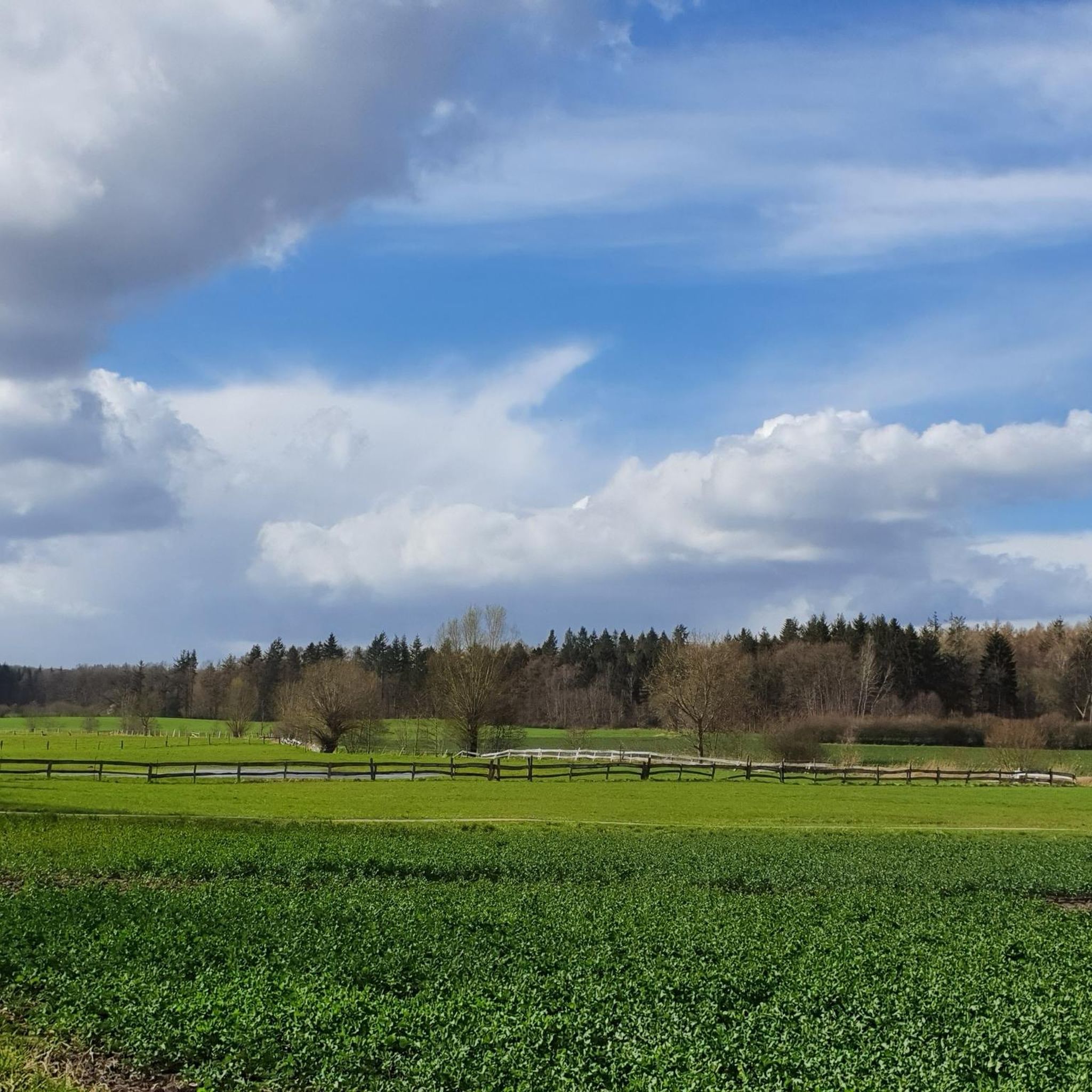
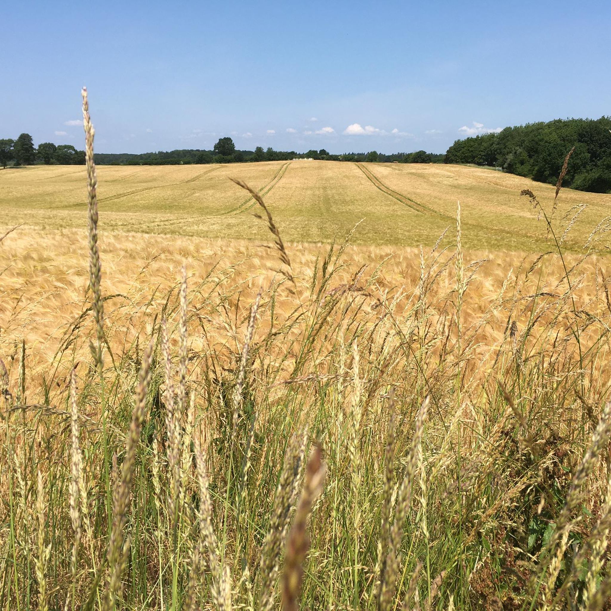
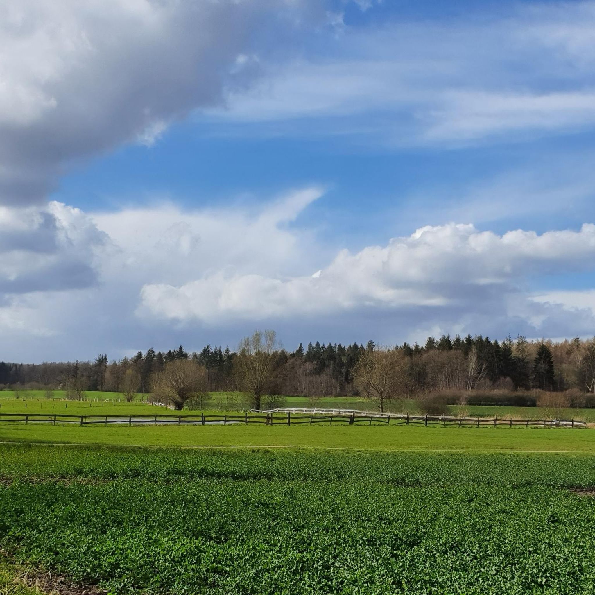
If you're looking for a relaxing, short hike, this is the perfect place. The loop around the Priesterbach stream in/near Breitenfelde is a true delight for nature lovers. The path leads through a diverse landscape of small woods and open fields, with the stream offering idyllic views along the way. The trail is particularly beautiful in spring and summer when the adjacent meadows are ablaze with yellow wildflowers. This easy hike (about 5-6 km, approximately 1.5 hours) is ideal for a leisurely stroll or a short after-work walk. The paths are well-maintained, but sturdy footwear is recommended in damp weather. www.breitenfelde.de
2
0

Old willows are true natural monuments.
3
0

Along the Priesterbach stream, through the fields and past the horse pasture, simply beautiful!
4
0

Here, you can walk on the original paving of the Old Salt Road. Who laid it, and with what tools? And under what circumstances?
2
0
Some villages in this area formerly belonged to the Free and Hanseatic City of Lübeck
3
0

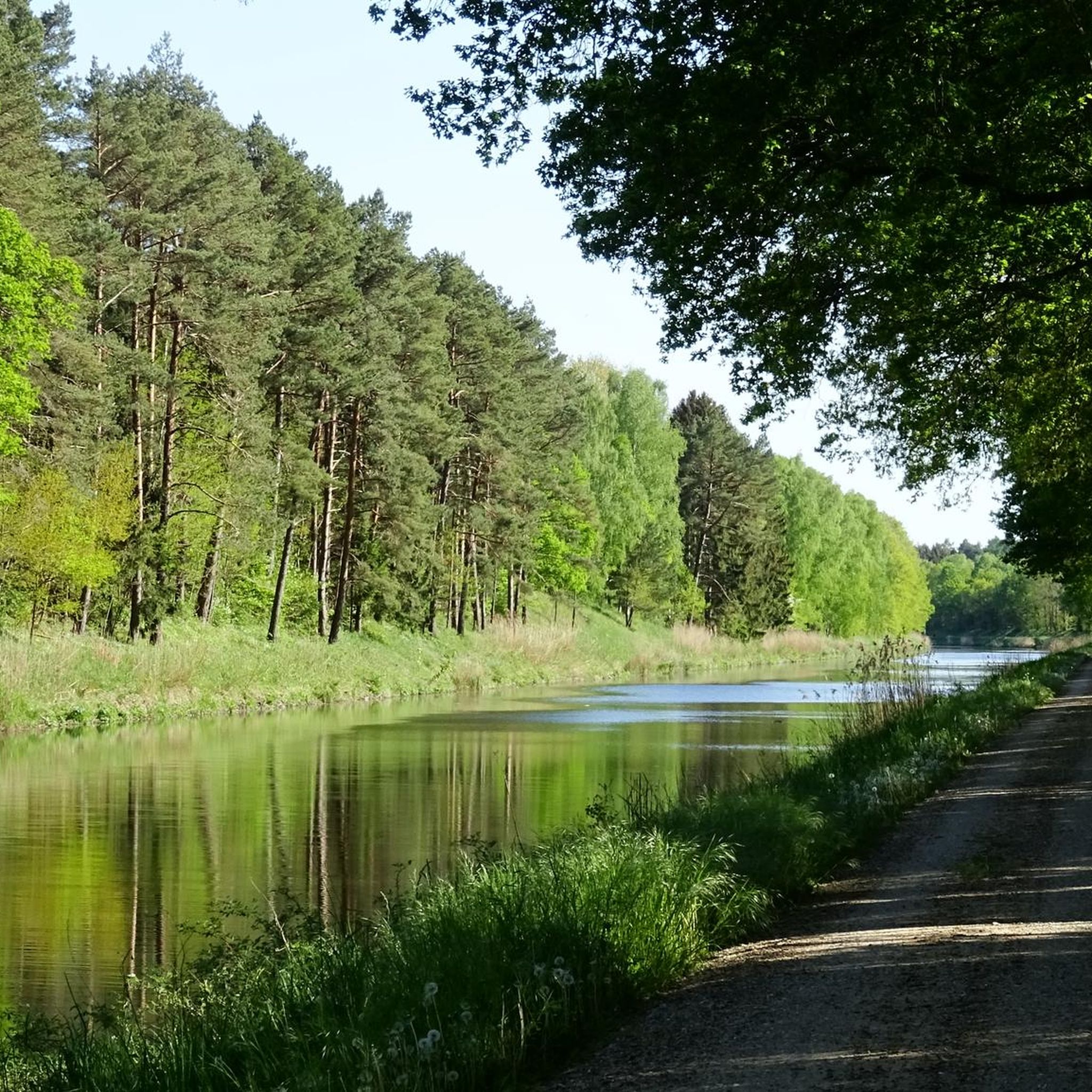
But this is not the Dove Elbe, but the Elbe Lübeck Canal...
2
0


This also happens but is necessary.
1
0
Frequently Asked Questions
How many hiking trails are available around Breitenfelde?
There are over 25 hiking routes in the Breitenfelde area, offering diverse experiences through its rolling hills and extensive forests. The majority of these, around 19 routes, are classified as easy, making them accessible for various fitness levels.
What kind of landscape and terrain can I expect on hikes around Breitenfelde?
Hikes around Breitenfelde feature a varied landscape of rolling hills and extensive forests. You'll encounter picturesque wooded areas, especially vibrant in autumn, and paths along the nearby Ratzeburger See lake. The region is also close to the Elbe-Lübeck Canal and within the Lauenburg Lakes Nature Park, offering diverse natural settings.
Are there easy hiking options suitable for beginners or families in Breitenfelde?
Yes, Breitenfelde offers many easy hiking options, with 19 out of 25 routes classified as such. These trails are generally well-suited for beginners and families. For example, the Priesterbach Stream – Priesterbach loop from Breitenfelde is an easy 3.6-mile path that explores a scenic area.
Are there any circular hiking routes in Breitenfelde?
Yes, many routes in Breitenfelde are circular, allowing you to start and end at the same point. A popular option is the Stork Nest in Bälau – Solitary Tree Near Lauenburg loop from Breitenfelde, an easy 3.1-mile trail that takes you through local natural features.
What are the best times of year to go hiking in Breitenfelde?
The best seasons for hiking in Breitenfelde are spring and autumn. In spring, nature is in full bloom with fields covered in colorful flowers. Autumn transforms the forests into a 'sea of warm colours,' providing a beautiful spectacle for hikers.
Can I bring my dog on the hiking trails in Breitenfelde?
Generally, dogs are welcome on hiking trails in Breitenfelde, especially in the extensive forest areas. However, it's always advisable to keep dogs on a leash, particularly in nature reserves or near wildlife, and to check local regulations for specific paths or protected areas.
What natural attractions or landmarks can I see while hiking near Breitenfelde?
While hiking, you can explore the impressive Castle Park, which blends well-tended gardens with wild forest sections. The nearby Ratzeburger See lake offers scenic views, and the region is home to historical sites like Wotersen Castle and the Burg Linau Ruins. You might also encounter an Observation Hut at Hellbach.
Where can I park when hiking in Breitenfelde?
Parking is generally available at various trailheads and points of interest around Breitenfelde. For example, the Rest Area and Parking Hornbek offers a convenient spot with a shelter and information board.
Is Breitenfelde accessible by public transport for hikers?
Breitenfelde is a village in the Duchy of Lauenburg. While local bus services connect it to larger towns, direct public transport access to specific trailheads might be limited. It's recommended to check local bus schedules in advance or consider driving to starting points.
What do other hikers enjoy most about hiking in Breitenfelde?
The hiking routes in Breitenfelde are highly rated by the komoot community, with an average score of 4.6 stars from over 900 reviews. Hikers often praise the diverse landscapes, including the quiet woodlands and the scenic paths around the Ratzeburger See, as well as the variety of easy trails suitable for all.
Are there any historical routes or paths to explore in the area?
Yes, the area around Breitenfelde is traversed by historical paths. These include sections of the European long-distance path E1 and the 'Alte Salzstraße' (Old Salt Road), a medieval trade route that runs through the Lauenburg Lakes Nature Park, offering a glimpse into the region's past.
Most popular routes around Breitenfelde
Most popular attractions around Breitenfelde

Get inspired with the komoot mobile app


Explore more
Browse the best Hikes in other regions.
