The best running trails around Düsterdieker Niederung
4.5
(873)
11,151
runners
569
runs
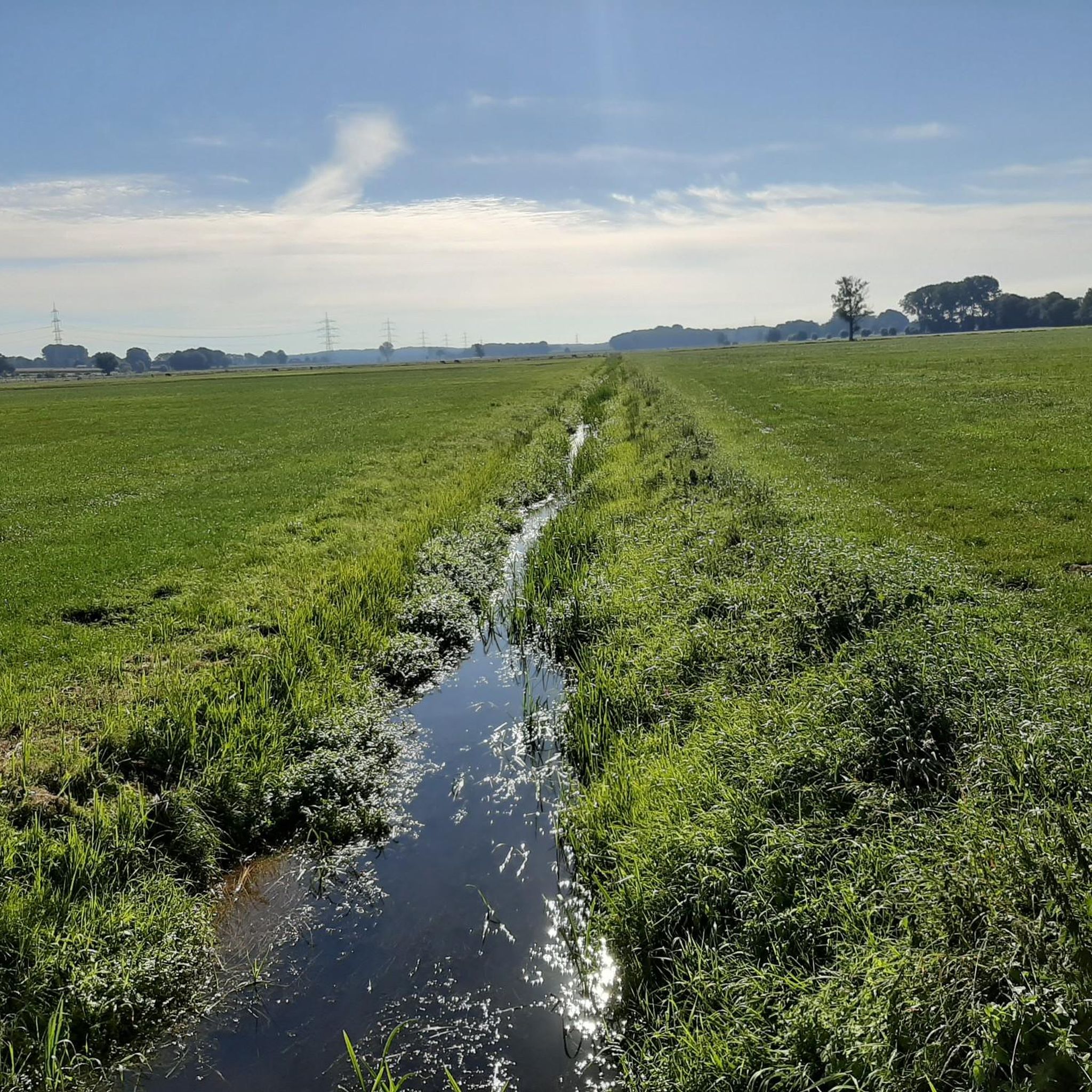
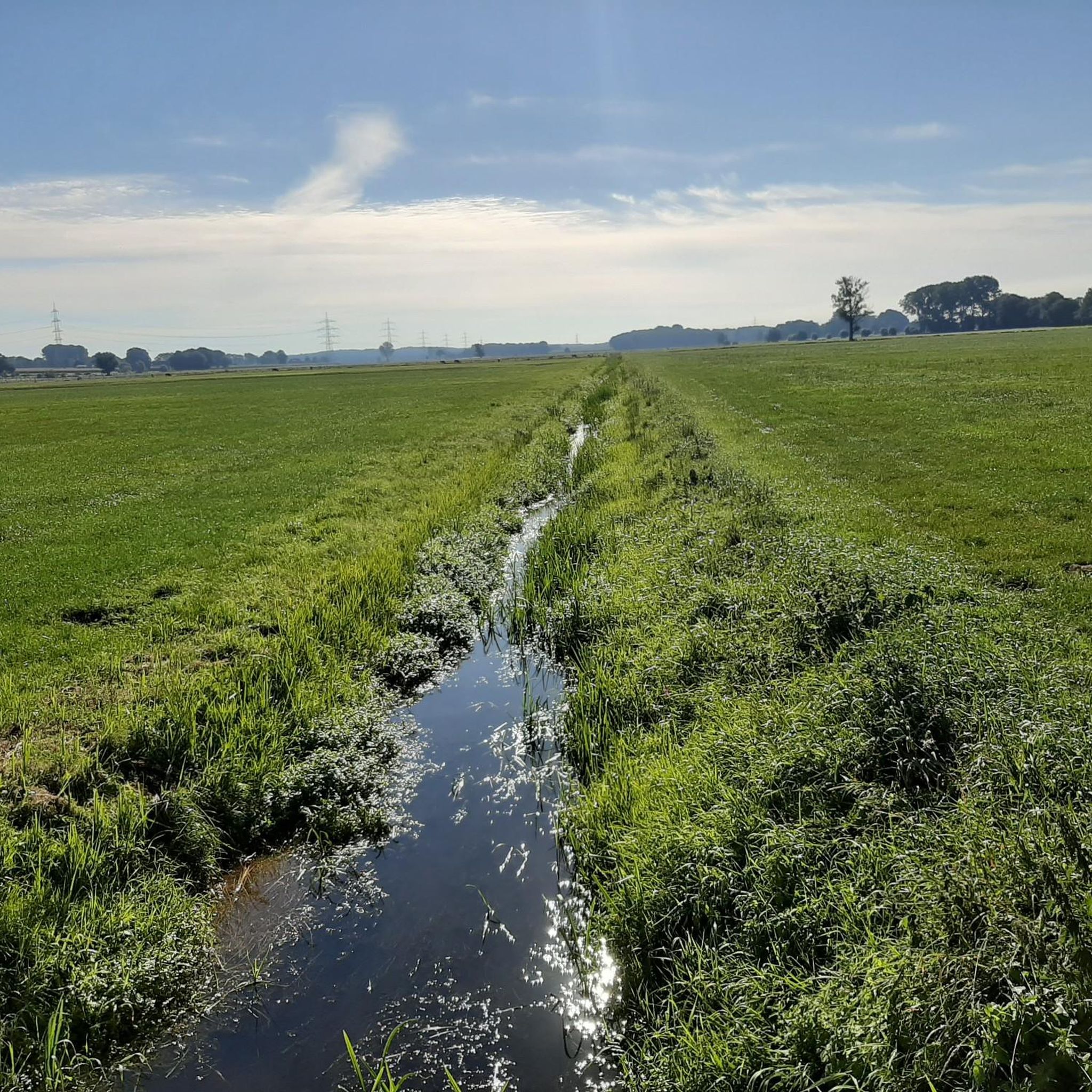
Jogging routes around Düsterdieker Niederung traverse a large nature reserve spanning over 1,130 hectares, characterized by its expansive and relatively flat natural landscape. The region is defined by extensive grassland complexes and lowlands, providing open vistas suitable for running. As an EU bird sanctuary, it features diverse birdlife and natural water bodies, offering a rich natural backdrop for outdoor activities. The terrain is generally conducive to running, with a network of paths and open areas.
Best jogging routes around Düsterdieker…
Last updated: August 28, 2026
18
runners
7.70km
00:52
10m
10m
Moderate run. Good fitness required. Mostly paved surfaces. Suitable for all skill levels.
5.0
(1)
12
runners
4.10km
00:27
10m
10m
Easy run. Great for any fitness level. Mostly paved surfaces. Suitable for all skill levels.

Sign up for free
4.0
(1)
7
runners
6.32km
00:39
20m
20m
Moderate run. Good fitness required. Mostly paved surfaces. Suitable for all skill levels.
16
runners
3.97km
00:25
10m
10m
Easy run. Great for any fitness level. Mostly paved surfaces. Suitable for all skill levels.
5
runners
9.76km
01:00
40m
40m
Moderate run. Good fitness required. Mostly paved surfaces. Suitable for all skill levels.
Get access to more routes and recommendations from other explorers.
Sign up for free
Already have an account?
Our route recommendations are based on thousands of hikes, rides, and runs completed by other people on komoot.
Start today with a free account
Your next adventure awaits.
Login or Signup
Tips from the Community

On the Mittelland Canal, the waves so gentle, the boats glide, daydreams in splendor. A small boat puffs "Hello" with its chain flag fluttering, the ducks grin broadly: "Well, who can miss us?" The bridge winks wisely, the wind quietly calculates where the waterline is leading today. A sailboat chases sausages from the grill out of the night, and the neighbors tell stories by daylight. The locks nod kindly, sometimes open, sometimes closed, playing hidden water Tetris. A chorus of crows on the quay practices their researcher's garb: How long is a meter when you plan it on Sundays? Grass and little jokes grow on the canal bank, a paddler asks the seagulls: "Which direction is the priority now?" They quack: "The main thing is that you learn the word 'gravel'," and the canal laughs softly – the world becomes fresh again. And so it flows on, the Mittelland Canal, connecting cities, dreams – and sometimes even a ball. And whoever rolls by with their eyes on the water takes a story with them: “Today it wasn’t booze, just fun.”
0
0
The Mittelland Canal is Europe's longest artificial waterway in Germany. It connects the Weser, Ems, and Rhine-Palatinate-Danube Canal, traverses flat, predominantly rural landscapes, and serves both commercial and recreational purposes. Ships navigate smoothly through wide canals, with locks, bridges, and green surroundings.
0
0

Looks good, let's try it out.
0
0

At 325.3 kilometers long, the Mittelland Canal is the longest artificial waterway in Germany. It connects the Dortmund-Ems Canal with the Weser, Elbe, and Elbe-Havel rivers and plays an important role in inland waterway transport in Lower Saxony, North Rhine-Westphalia, and Saxony-Anhalt. The canal stretches from Hanover to the continent's largest sea and inland ports and is a vital transport route for the economy.
0
0
Track all ships with our ship radar 24/7 in real time!
0
0

Just keep going straight ahead, along the water, letting your mind wander. This route is ideal for that :) And at least during the week, there's not much going on here.
0
0

A highlight: On my tour: Vinter Runde I always come over this bridge and it is always enough for a sip from the bottle and a photo of the darling
0
0

A nice surprise at the rest area. For a donation of at least €1 you can get various drinks from the underground.
1
0
Frequently Asked Questions
How many running routes are available in Düsterdieker Niederung?
There are over 500 running routes available in and around Düsterdieker Niederung, catering to various fitness levels. You can find options ranging from easy, flat paths to more moderate trails with slight elevation changes.
What kind of terrain can I expect on the running trails in Düsterdieker Niederung?
The terrain in Düsterdieker Niederung is characterized by its extensive grassland complexes and generally flat lowlands. You can expect open vistas and paths along natural ground and surface water levels, making it ideal for uninterrupted running.
Are there any circular running routes in the area?
Yes, many of the running paths in Düsterdieker Niederung are circular. For example, the Running loop from Mettinger Moor is a popular 7.7 km circular trail, and the Running loop from NSG Sloopsteene offers a 6.3 km loop through varied landscapes.
Can I bring my dog on the jogging trails in Düsterdieker Niederung?
While the Düsterdieker Niederung is a nature reserve, dogs are generally permitted on trails. However, it is crucial to keep them on a leash to protect the diverse wildlife, especially ground-nesting birds, and to respect other visitors. Always check local signage for specific rules.
Are the running routes suitable for families or beginners?
Absolutely. The region offers many easy running routes perfect for families or beginners. The generally flat terrain makes it accessible. A great option is the Mittelland Canal loop from Bramegge, an easy 4.1 km path ideal for a relaxed run.
What wildlife might I see while running in Düsterdieker Niederung?
As an EU bird sanctuary, Düsterdieker Niederung is rich in biodiversity. You might spot various bird species such as curlews, lapwings, and meadow pipits, especially during breeding season. It's also an important resting area for species like snipe and cranes, offering a captivating natural backdrop to your run.
Are there any interesting sights or landmarks along the running paths?
Yes, the area offers several points of interest. You can explore the natural beauty of the Düsterdieker Lowlands or the Düsterdieker Niederung Nature Reserve itself. Other highlights include the Kulturhof Westerbeck and the Magnificent landscape at the Wallenbrock.
What do other runners say about the trails in Düsterdieker Niederung?
The running routes in Düsterdieker Niederung are highly rated by the komoot community, with an average score of 4.3 stars from over 500 reviews. Runners often praise the tranquil environment, the open vistas, and the well-maintained paths that make for an enjoyable outdoor experience.
How can I get to Düsterdieker Niederung using public transport?
While direct public transport options into the heart of the nature reserve might be limited, you can typically reach nearby towns like Westerkappeln by bus. From there, you might need to walk or cycle to access the specific running trailheads. It's advisable to check local bus schedules for connections to the surrounding areas.
Where can I park my car when visiting for a run?
Parking facilities are usually available at the starting points of popular routes or near the entrances to the nature reserve. For instance, routes like the Prairie Lake, Westerkappeln loop often have designated parking areas in or around Westerkappeln. Look for signs indicating 'Wanderparkplatz' or 'Parkplatz' near trailheads.
What is the best time of year for running in Düsterdieker Niederung?
The Düsterdieker Niederung offers a pleasant running experience year-round. Spring and autumn provide mild temperatures and beautiful scenery, while summer allows for longer daylight hours. Even in winter, the generally flat paths can be accessible, though conditions might vary depending on snow or ice.
Are there any specific rules for running in the nature reserve?
As a nature reserve and EU bird sanctuary, it's important to stay on marked paths to protect sensitive habitats and wildlife. Avoid disturbing animals, and always take your litter with you. For detailed regulations, you can consult the official information about the Düsterdieker Niederung Nature Reserve.
Can I find refreshments or places to eat near the running routes?
While the nature reserve itself is primarily natural, the surrounding villages and towns, such as Westerkappeln, offer cafes, restaurants, and guesthouses where you can find refreshments or a meal after your run. It's a good idea to plan your route to pass through or near these areas if you intend to stop for food.
Most popular routes around Düsterdieker Niederung
Most popular attractions around Düsterdieker Niederung

Get inspired with the komoot mobile app


Explore more
Browse the best Running Trails & Routes in other regions.
