The best walks and hikes around Castelserás
4.5
(25)
184
hikers
37
hikes
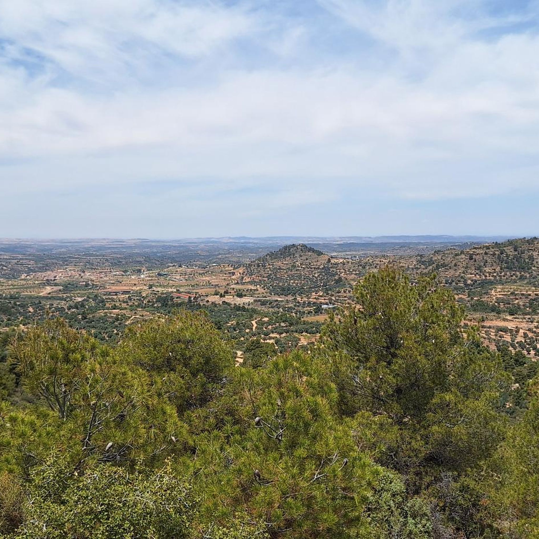
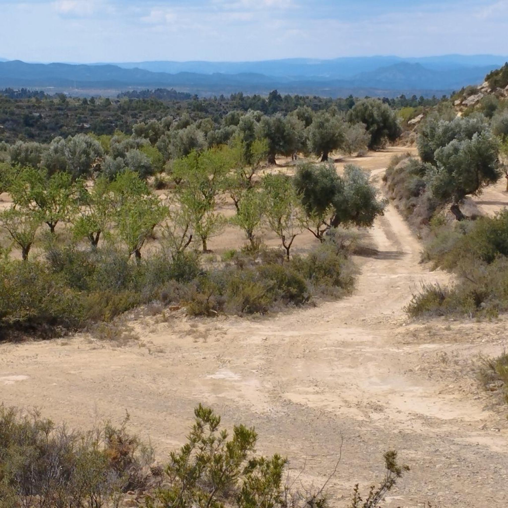
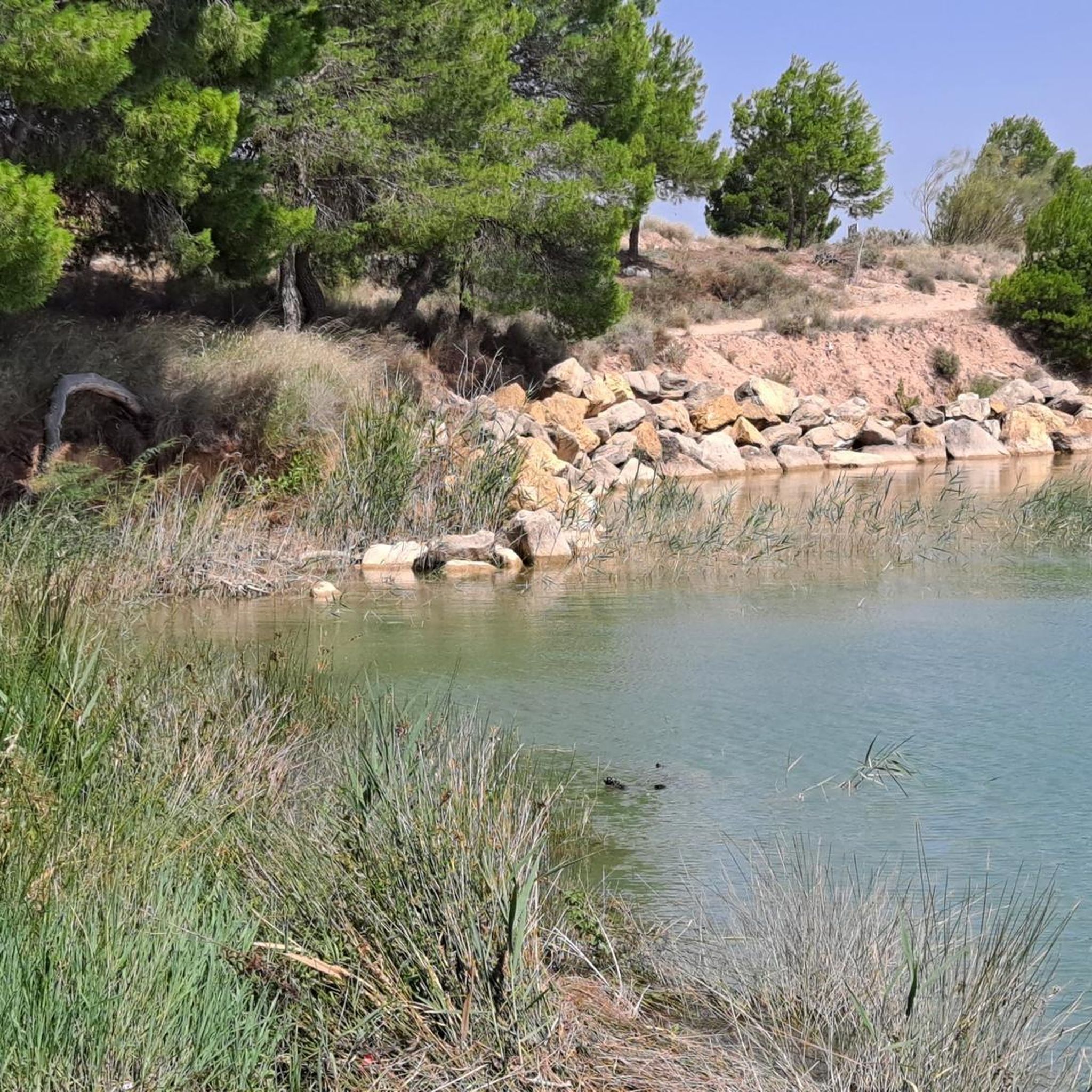
Hiking around Castelserás offers diverse landscapes shaped by the Guadalope River and its unique rock formations. The region features a mix of semi-arid steppes, Mediterranean forests, and premontane ecosystems. Trails often lead through areas with ancient pine trees, providing shade and natural resting spots. The terrain includes riverbanks, hills, and varied natural spaces.
Best hiking trails around Castelserás
- The most popular hiking route is Alcañiz: Hermitage of Pueyos and Parador Loop, a 6.1 miles (9.8 km) trail that takes…
Last updated: July 1, 2026
3
hikers
12.0km
03:31
330m
330m
Moderate hike. Good fitness required. Easily-accessible paths. Suitable for all skill levels.
4.0
(1)
4
hikers
9.82km
02:40
130m
130m
Moderate hike. Good fitness required. Easily-accessible paths. Suitable for all skill levels.

Sign up for free
2
hikers
17.8km
05:01
380m
380m
Hard hike. Very good fitness required. Easily-accessible paths. Suitable for all skill levels.
4.5
(2)
11
hikers
7.72km
02:06
110m
110m
Moderate hike. Good fitness required. Easily-accessible paths. Suitable for all skill levels.
4.5
(4)
13
hikers
6.97km
01:53
100m
100m
Easy hike. Great for any fitness level. Easily-accessible paths. Suitable for all skill levels.
Get access to more routes and recommendations from other explorers.
Sign up for free
Already have an account?
Our route recommendations are based on thousands of hikes, rides, and runs completed by other people on komoot.
Start today with a free account
Your next adventure awaits.
Login or Signup

Tips from the Community

The Church of Our Lady of Hope in Calanda (Teruel) is a prominent Baroque church with a rich history dating back to the 13th century. The original building was a small church constructed in the late 13th century. In 1462, Pedro Vacca, Lord of Calanda, rebuilt and expanded it, linking it to the Order of Calatrava.
2
0

Good views of Alcañiz.
0
0

Immense castle that is located in one of the highest parts of the town of Alcañíz and that can be seen from afar from the arrival in the center.
0
1
Small sanctuary located in the north-west of Alcanyís, two kilometers from the Guadalop river next to the current motorland racing track and which allows us to see good views of Alcañís. Green area with beautiful spaces to take a break.
0
1
Beautiful church that is located in the middle of the town of Alcañíz, at the top of the center and elevated part located on a hill. From here the population grew alongside it.
0
0

The old Baroque-style Convent is currently in ruins and is a site that attracts many visitors for its particular charm and surrounding environment. Its construction dates from the 18th century and its large size draws a lot of attention. The possible restoration of the same is currently under study, although its high budget means that it is still delayed.
3
0
This picturesque but quiet town in the interior of Teruel is internationally known for its entrances in the Holy Week festivities. In addition to this, it is also an ideal place to start several hiking routes in the area, including a visit to the Los Arcos Aqueduct.
1
1
It is a section of the aqueduct that provided Teruel with water and made it independent of the cisterns. Today it is recognized as a monument of engineering of that time and a historical symbol of the province. The works were started in 1537 and continued until 1558 and was known as the work of "La traída de agua"
3
0
Frequently Asked Questions
How many hiking trails are available around Castelserás?
There are over 20 hiking routes around Castelserás, offering a variety of experiences. These include easy walks, moderate excursions, and some more challenging routes for experienced hikers.
What kind of landscapes can I expect to see while hiking in Castelserás?
The landscapes around Castelserás are diverse, shaped by the Guadalope River. You'll find a mix of semi-arid steppes, Mediterranean forests, and premontane ecosystems. Many trails feature ancient pine trees, riverbanks, and unique rock formations like 'Las Ollas'.
Are there any easy hiking trails suitable for beginners or families?
Yes, Castelserás offers several easy hiking options. For instance, the area has 9 routes classified as easy, perfect for families or those seeking a relaxed walk. These often follow riverbanks or less strenuous paths.
Can I bring my dog on the hiking trails in Castelserás?
While specific dog-friendly regulations can vary by trail, generally, many outdoor areas in Castelserás are suitable for dogs, especially those that follow natural paths away from protected wildlife zones. Always keep your dog on a leash and clean up after them.
Are there any circular hiking routes in the area?
Yes, the region features several circular routes. For example, the 'Aqueduct of Los Arcos circular trail' near Calanda offers a loop through pine forests and gypsum formations. Many local trails are designed as loops, allowing you to return to your starting point.
What are some notable natural features or landmarks to look out for on the trails?
The Guadalope River is a central feature, with unique rock formations known as 'Las Ollas' and historical bathing spots like 'Pozo de los Estudiantes' and 'El Azud'. The Castle of the Calatravos near Alcañiz is another significant landmark visible from some routes.
Is there public transport available to access the trailheads in Castelserás?
Information regarding specific public transport to individual trailheads is limited. It is generally recommended to use a personal vehicle to reach many of the more remote starting points for hiking trails in the Castelserás area.
What is the best time of year to go hiking in Castelserás?
Spring and autumn are generally the most pleasant seasons for hiking in Castelserás, offering mild temperatures and beautiful natural colors. Summers can be hot, especially in the semi-arid areas, while winters are cooler but often suitable for hiking on clear days.
Are there any historical or cultural points of interest near the hiking routes?
Absolutely. The Ermita de Santa Bárbara (Chapel of Saint Barbara) is perched on a hill, offering panoramic views and a path lined with ancient pine trees. The region also has botanical circuits with informative signage about indigenous plant species, honoring botanists Francisco Loscos and José Pardo Sastrón.
Where can I find parking when hiking in Castelserás?
Parking availability varies by trailhead. In Castelserás itself, you can usually find parking within the town. For routes starting outside the main town, look for designated parking areas near popular trailheads or along access roads. Always check local signage for restrictions.
What makes the hiking experience in Castelserás unique according to other hikers?
The area is highly rated by the komoot community, with an average score of 4.5 stars. Hikers often praise the diverse terrain, from riverbanks to semi-arid landscapes, and the peaceful atmosphere. The presence of the Guadalope River and historical elements also adds to its unique charm.
Are there any specific trails that offer panoramic views?
Yes, the path leading to the Ermita de Santa Bárbara offers breathtaking panoramic views of Castelserás and the surrounding environment, including the diverse landscapes of the Lower Aragon region. This chapel is also part of the 'Route of the Vantage Points'.
Are there opportunities for longer, more challenging hikes?
Yes, for those seeking more strenuous routes, Castelserás and the wider Lower Aragon region provide options. For example, the Desert of Calanda Trail (PR-TE 19) is an 11.1-mile (17.8 km) route classified as difficult, leading through arid terrain and requiring good physical condition.
Most popular routes around Castelserás
Most popular attractions around Castelserás

Get inspired with the komoot mobile app


Explore more
Browse the best Hikes in other regions.
