The best MTB trails around Haler Feld-Vogelpohl
4.6
(397)
1,393
riders
179
rides
Mountain biking around Haler Feld-Vogelpohl offers a diverse landscape for riders. The region features a mix of open fields, wooded areas, and gentle hills, providing varied terrain. Routes often include scenic views and pass by natural features such as lakes and historical sites. The elevation changes are generally moderate, with some trails offering more significant climbs.
Best mountain bike trails around Haler Feld-Vogelpohl
- The most popular mountain bike trail is View of Piesberg – Karlsteine Megalithic Tomb loop from Halen…
Last updated: June 21, 2026
5.0
(4)
14
riders
29.6km
02:04
270m
270m
Moderate mountain bike ride. Good fitness required. Advanced riding skills necessary.
4.5
(4)
8
riders
29.6km
01:59
110m
110m
Moderate mountain bike ride. Great for any fitness level. Advanced riding skills necessary.

Sign up for free
7
riders
Hard mountain bike ride. Very good fitness required. Advanced riding skills necessary.
3
riders
50.4km
03:33
610m
610m
Moderate mountain bike ride. Good fitness required. Advanced riding skills necessary.
5.0
(2)
4
riders
23.8km
01:52
70m
70m
Moderate mountain bike ride. Great for any fitness level. Advanced riding skills necessary.
Get access to more routes and recommendations from other explorers.
Sign up for free
Already have an account?
Our route recommendations are based on thousands of hikes, rides, and runs completed by other people on komoot.
Start today with a free account
Your next adventure awaits.
Login or Signup
Tips from the Community

Push up from Oldenburger Landstr. to the Karlsteinen! Above are the big and small Karlsteinen. The forest path to "Im Hone" is easily passable.
0
0

The Mittelland Canal is Europe's longest artificial waterway in Germany. It connects the Weser, Ems, and Rhine-Palatinate-Danube Canal, traverses flat, predominantly rural landscapes, and serves both commercial and recreational purposes. Ships navigate smoothly through wide canals, with locks, bridges, and green surroundings.
0
0

A sturdy little rest and shelter hut. Inside, it has benches and a table. Built and maintained by the Bramsche Local History and Tourism Association. Opposite is a beautiful bench with a red flower carved into it. This is also Emergency Site 22. There are also various hiking trail markers at the corner.
0
0

Forest path OK, easy to roll
0
0

At 325.3 kilometers long, the Mittelland Canal is the longest artificial waterway in Germany. It connects the Dortmund-Ems Canal with the Weser, Elbe, and Elbe-Havel rivers and plays an important role in inland waterway transport in Lower Saxony, North Rhine-Westphalia, and Saxony-Anhalt. The canal stretches from Hanover to the continent's largest sea and inland ports and is a vital transport route for the economy.
0
0

A highlight: On my tour: Vinter Runde I always come over this bridge and it is always enough for a sip from the bottle and a photo of the darling
0
0

Great view of the Mittelland Canal.
1
0

The Mittelland Canal, also known as the “Waterway of the Middle”, is one of the most important and longest man-made waterways in Germany. With a length of around 325 kilometers, the canal stretches from the Ems in North Rhine-Westphalia to the Elbe in Saxony-Anhalt, connecting numerous important rivers and canals. Construction of the canal began in 1906 and was completed in various sections, with the main section being opened in 1938. The Mittelland Canal plays a central role in German and European inland waterway transport. It enables the efficient and environmentally friendly transport of goods between the west and east of Germany and to neighboring countries. Its connection to other waterways, such as the Dortmund-Ems Canal, the Weser-Elbe Canal and the Elbe-Havel Canal, creates a comprehensive network that facilitates the transport of goods such as coal, steel, grain and containers. One of the most impressive engineering feats along the Mittelland Canal is the waterway junction near Minden. Here the Mittelland Canal crosses the Weser and ships can switch between the different waterways using a ship lift. This waterway junction is not only of great functional importance, but is also a popular tourist destination that attracts many visitors every year. There are numerous ports and transshipment points along the Mittelland Canal, which are important hubs for freight transport. Cities such as Hanover, Braunschweig, Wolfsburg and Magdeburg benefit from their location on the canal, as this gives them direct access to international trade routes. The canal makes a significant contribution to the economic development of the region and is an important location factor for local industry. However, the Mittelland Canal not only offers economic advantages, it is also a popular destination for leisure and recreational activities. Cycling and hiking trails along the canal invite you to take long tours in a varied landscape. Anglers, water sports enthusiasts and nature lovers appreciate the peace and beauty of the canal surroundings. The numerous bridges, locks and historical buildings that can be discovered along the canal are particularly attractive.
0
0
Frequently Asked Questions
How many mountain bike trails are available in Haler Feld-Vogelpohl?
There are over 190 mountain bike trails in the Haler Feld-Vogelpohl region, offering a wide range of options for different skill levels and preferences.
Are there mountain bike trails suitable for beginners or families in Haler Feld-Vogelpohl?
Yes, Haler Feld-Vogelpohl offers a good selection of easier trails. There are 35 easy mountain bike routes, often characterized by open fields and gentle terrain, making them suitable for beginners and families looking for a relaxed ride.
What kind of terrain can I expect on mountain bike trails in Haler Feld-Vogelpohl?
The region features a diverse landscape with a mix of open fields, wooded areas, and gentle hills. You'll find varied terrain, often including scenic views and natural features like lakes. Elevation changes are generally moderate, though some trails offer more significant climbs.
Are there any challenging mountain bike trails for advanced riders?
While the majority of trails are moderate, there are 6 difficult mountain bike routes available for experienced riders seeking more challenging terrain and climbs. An example is the Venner Berg Observation Tower – Süntelstein Standing Stone loop from Halen, which covers 45.9 miles with significant elevation.
What are some notable attractions or landmarks I might see along the mountain bike trails?
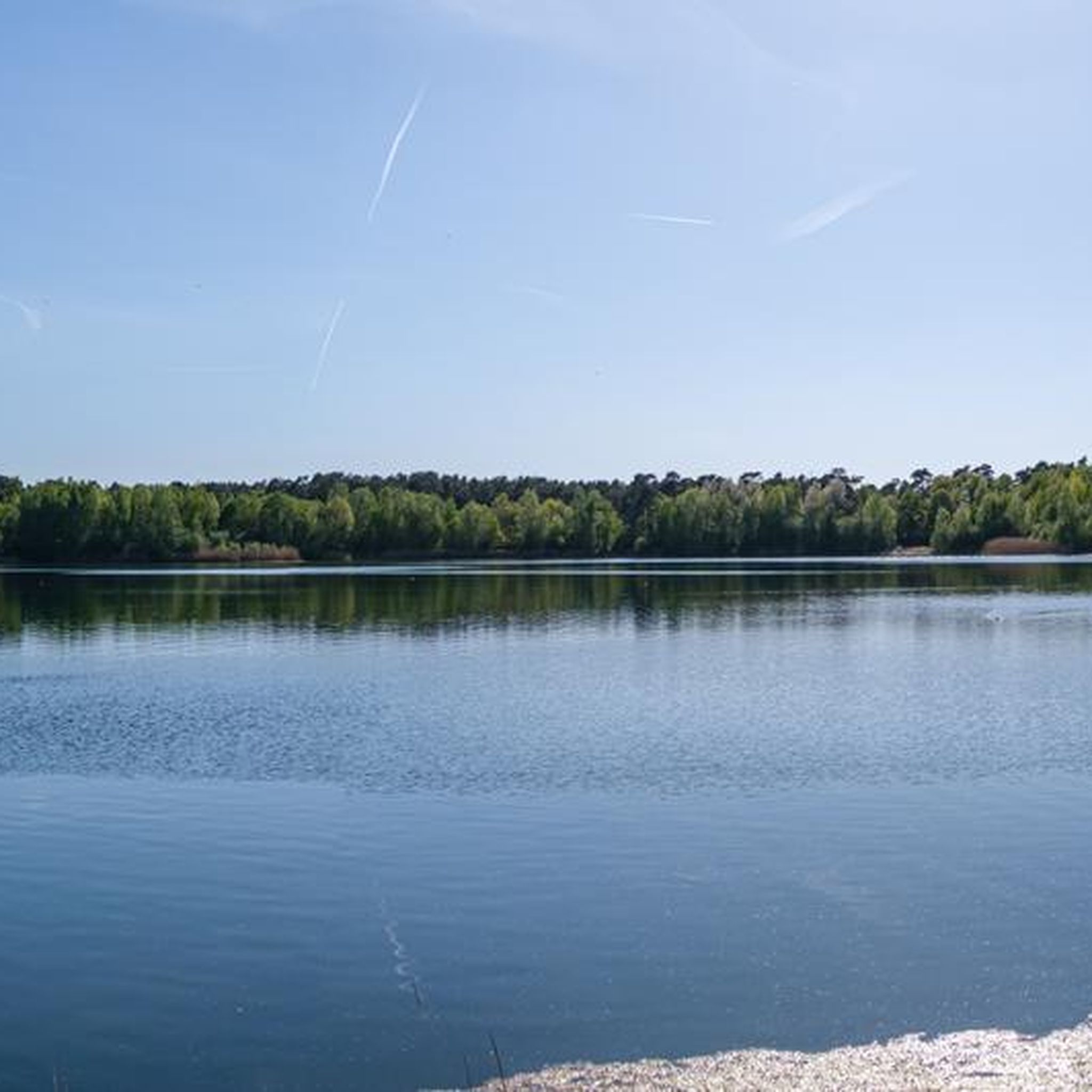
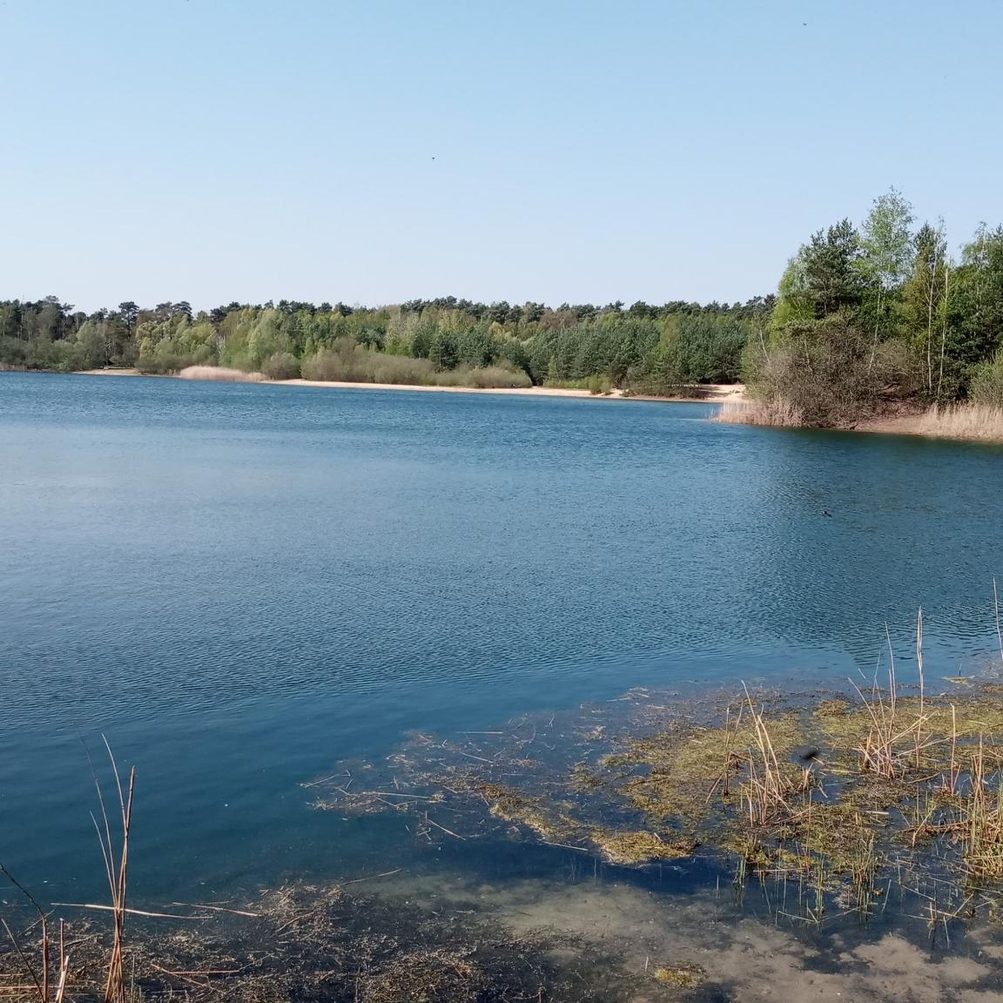
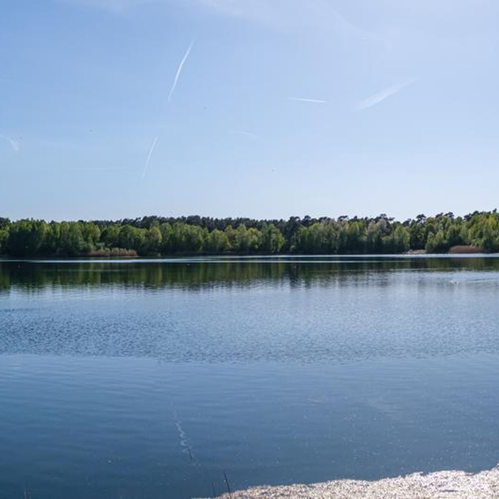
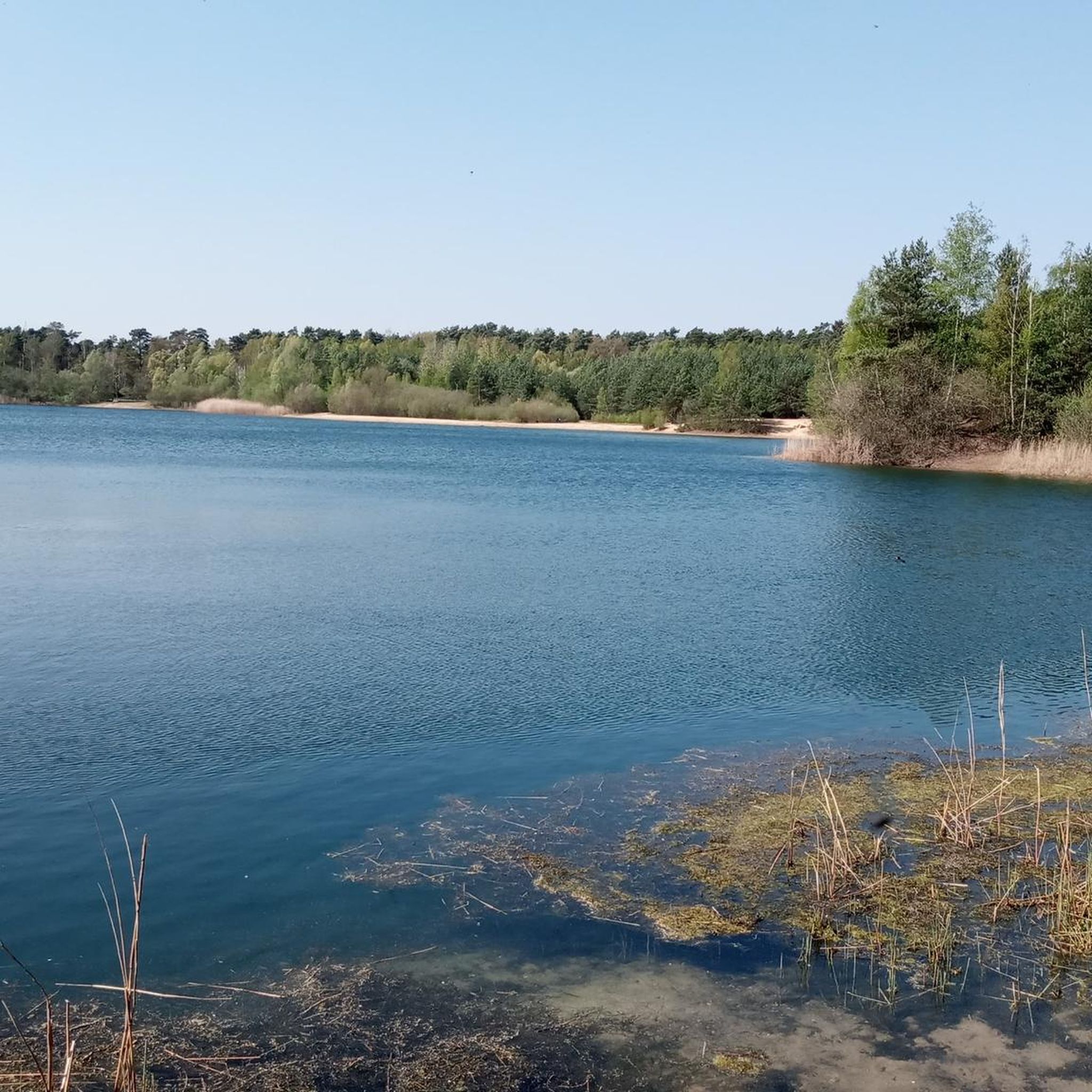
Many trails pass by interesting points. You might encounter historical sites like the Karlsteine Megalithic Tomb, or natural features such as Niedrinhaussee and Lake Sundermann. Other nearby attractions include the Sand Pit in Natur- und Geopark TERRA.vita and the Tiefes Reck Wetland.
Are there mountain bike trails that are loop routes?
Yes, many of the mountain bike trails in Haler Feld-Vogelpohl are designed as loops, allowing you to start and finish at the same point. Examples include the Niedrinhaussee – Lake Sundermann loop from Halen and the View of Ibbenbüren – Königsseen at the Wolfsmühle loop from Halen.
What is the best time of year for mountain biking in Haler Feld-Vogelpohl?
Spring and autumn generally offer the most pleasant conditions for mountain biking, with mild temperatures and vibrant scenery. Summer can also be great, especially in wooded areas, but be prepared for potentially warmer weather. Winter riding is possible, but trails might be muddy or icy depending on conditions.
Are there any trails that offer good opportunities for wildlife spotting?
The region's mix of woodlands, open fields, and wetlands, such as the Tiefes Reck Wetland, provides habitats for various wildlife. Riding through quieter, less frequented trails, especially during early morning or late afternoon, increases your chances of seeing local fauna.
What do other mountain bikers say about the trails in Haler Feld-Vogelpohl?
The mountain bike routes in Haler Feld-Vogelpohl are highly rated by the komoot community, with an average score of 4.6 stars from over 400 reviews. Riders often praise the varied terrain, scenic views, and the well-maintained paths that cater to different skill levels.
Is there public transport access to the mountain bike trails in Haler Feld-Vogelpohl?
Public transport options to reach trailheads can vary. It's advisable to check local bus or train schedules for connections to towns or villages near your chosen starting point. Many routes, like the Niedrinhaussee – View of Saller See loop from Halen, often start from accessible locations.
Where can I find parking for mountain biking in Haler Feld-Vogelpohl?
Parking is generally available in or near the starting points of many trails, particularly in the villages and towns surrounding Haler Feld-Vogelpohl. Look for designated parking areas or public car parks in places like Halen, which serves as a common starting point for several routes.
Most popular routes around Haler Feld-Vogelpohl
Most popular attractions around Haler Feld-Vogelpohl

Get inspired with the komoot mobile app


Explore more
Browse the best MTB trails in other regions.
