The best running trails around Alozaina
4.1
(13)
431
runners
34
runs
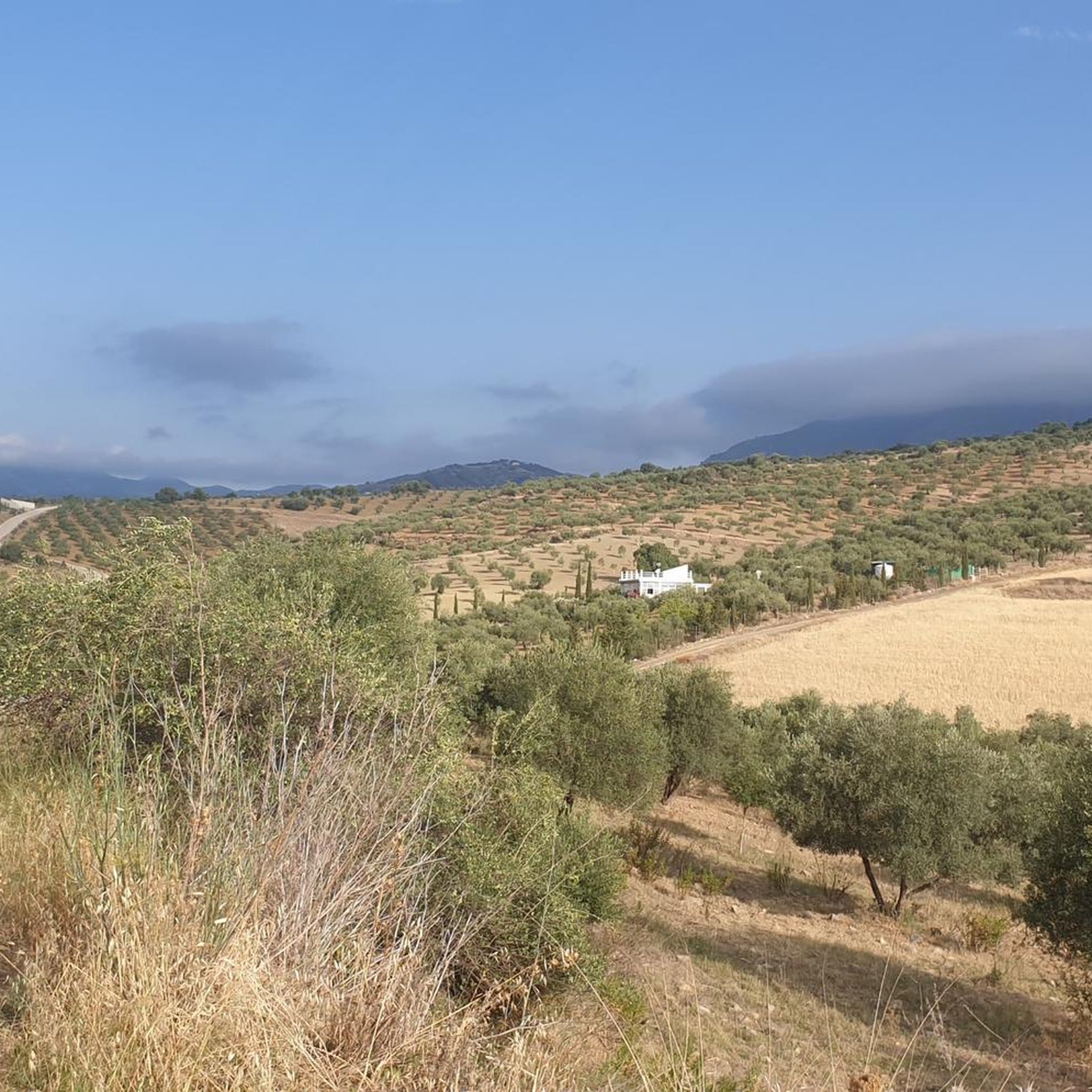
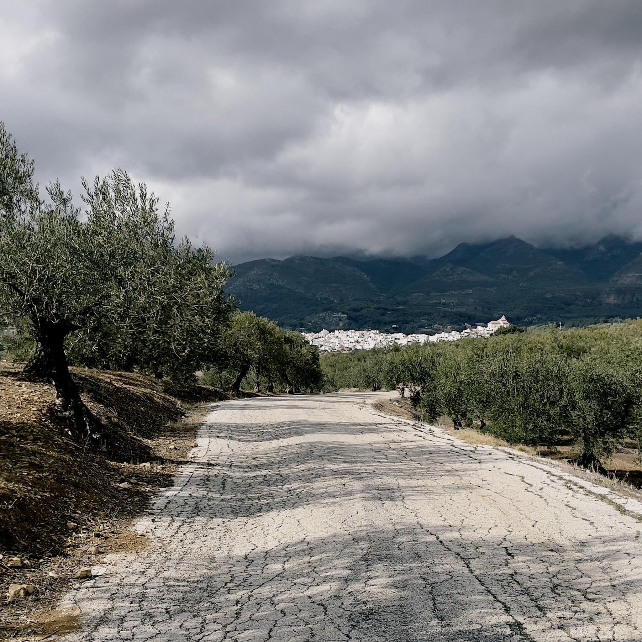
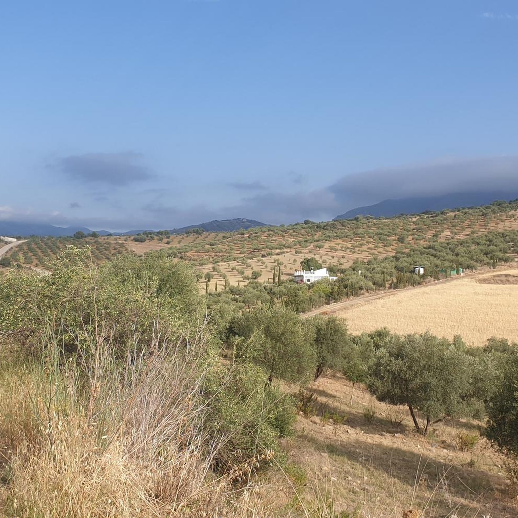
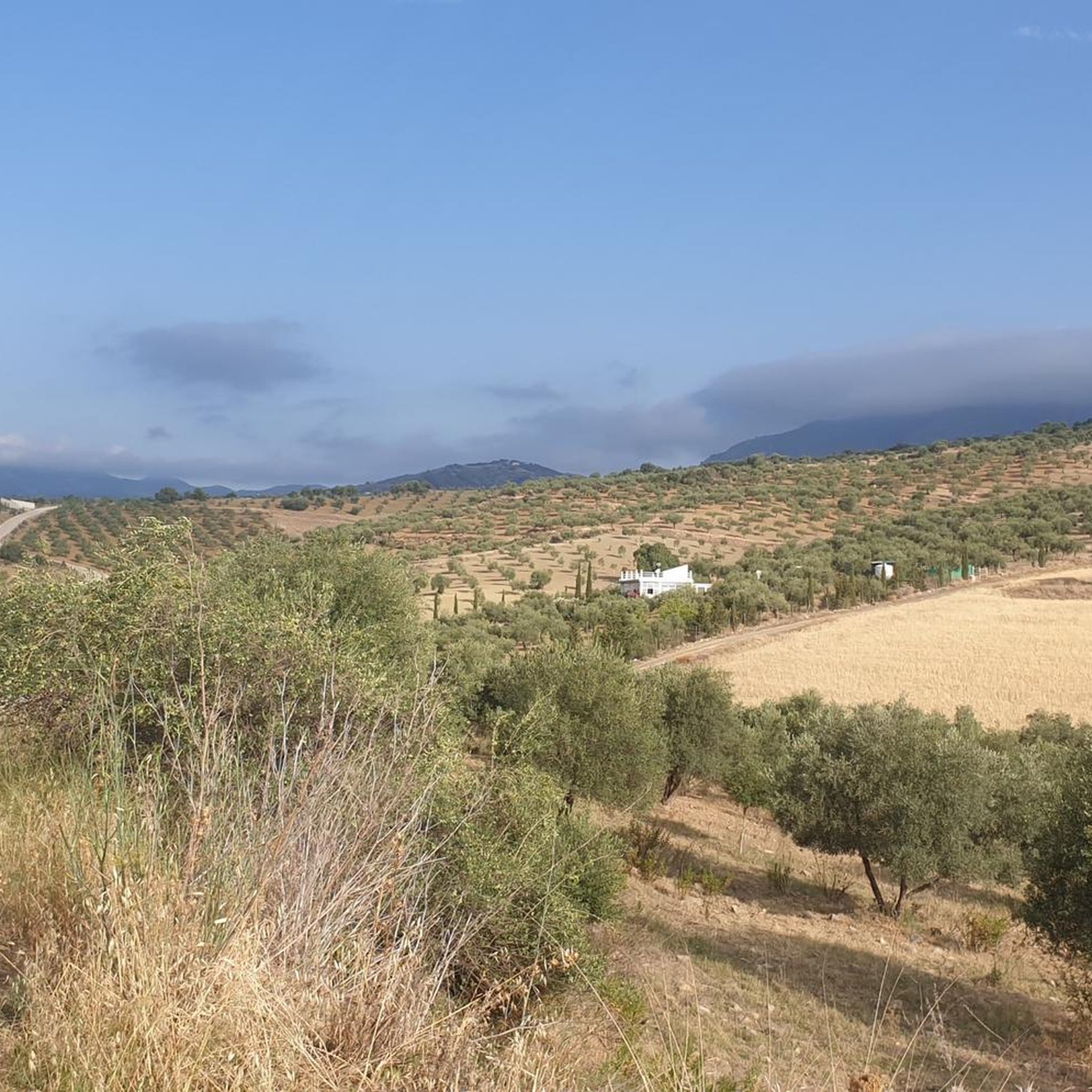
Jogging around Alozaina offers diverse terrain, from the slopes of Sierra Prieta to the picturesque Río Grande and Jorox River valleys. The region is nestled near the Sierra de las Nieves National Park, a UNESCO Biosphere Reserve known for its unique geology and ancient forests. Running routes often traverse olive groves, fruit orchards, and rocky canyons, providing varied scenery for outdoor pursuits. This landscape provides a rich environment for different fitness levels, from gentle paths to challenging ascents.
Best jogging…
Last updated: July 4, 2026
68
runners
26.4km
04:14
1,490m
1,480m
Hard run. Very good fitness required. Sure-footedness, sturdy shoes and alpine experience required.
46
runners
16.7km
02:33
930m
940m
Hard run. Very good fitness required. Sure-footedness, sturdy shoes and alpine experience required.

Sign up for free
28
runners
28.0km
04:31
1,800m
1,800m
Hard run. Very good fitness required. Sure-footedness, sturdy shoes and alpine experience required.
5.0
(2)
38
runners
17.7km
02:36
830m
820m
Hard run. Very good fitness required. Mostly paved surfaces. Suitable for all skill levels.
24
runners
10.9km
01:30
500m
510m
Hard run. Very good fitness required. Mostly paved surfaces. Suitable for all skill levels.
Get access to more routes and recommendations from other explorers.
Sign up for free
Already have an account?
Our route recommendations are based on thousands of hikes, rides, and runs completed by other people on komoot.
Start today with a free account
Your next adventure awaits.
Login or Signup

Tips from the Community

Route that goes south of the road between Alozaina and Casarabonela. It is highly recommended to do it in spring after the rains as it has wonderful flower landscapes.
0
0

With less than 3,000 inhabitants, Yunquera is the most populated town in the Sierra de las Nieves region. This town of white houses is nestled in an incredible mountainous setting dotted with terraces with different crops. One of the biggest attractions in the area is the route of the source of the Rio Grande, also known as the "upwelling of Zarzalones".
2
0
The Saucillo pass is located at an altitude of 1,200 metres, and has a viewpoint that allows you to enjoy magnificent views of several Malaga mountain ranges and the coast. Framed in a setting dotted with pine trees, it is one of the gateways to the Torrecilla peak route.
3
0
The candelabra fir, more than 16 meters high, is located just a few meters from the port of Saucillo. It is named for the peculiar shape of its branches. Next to it is a poster that explains the different processes that affect the growth of trees, resulting in extraordinary figures like this Spanish fir.
1
0
This cave originally served as a refuge for cattle. Being located at a considerable height with respect to the rest of the pinsapar, it provides a panoramic view of incredible beauty. The cave has a water pipe from which you can drink; however, keep in mind that there is only water in the rainy season.
3
0

Following this picturesque path you can get from Casarabonela to Llano Cristóbal, enjoying a wonderful landscape setting.
0
0
The top of the Sierra Prieta at 1518 meters above sea level offers wonderful panoramic views. It can be reached from Casarabonela or Alzoina by various paths, although I recommend you follow the signposts.
0
0

This town located on the slopes of the Sierra Prieta has several viewpoints from which to observe the Guadalhorce valley and the Costa del Sol. It also has an impressive collection of cacti.
2
0
Frequently Asked Questions
How many running routes can I find around Alozaina?
Alozaina offers a diverse network of over 35 dedicated running routes. These trails vary significantly in difficulty and length, providing options for all fitness levels.
Are there easy jogging routes suitable for beginners or families with children?
Yes, Alozaina has routes suitable for beginners and families. While most routes are more challenging, there are a couple of easier options. The region research mentions the 'Trail along the creek – Charco de la Virgen Waterfall loop' from Tolox as an easy 4.1-mile (6.6 km) path perfect for a relaxed jog.
What kind of terrain can I expect on the running trails in Alozaina?
The terrain around Alozaina is incredibly varied. You'll encounter everything from the challenging slopes of the Sierra Prieta mountains to picturesque river valleys like the Río Grande and Jorox River. Many routes also traverse charming olive groves, fruit orchards, and rocky canyons, offering a rich and changing landscape for your run.
Are there any running routes that feature waterfalls or other natural attractions?
Absolutely! The region is home to the beautiful Charco de la Virgen Waterfall, located in the Jorox River valley. This picturesque spot is a highlight of some easier trails and is a popular natural attraction for runners and hikers alike.
What are some of the more challenging running routes for experienced trail runners?
For experienced trail runners seeking a strenuous workout, Alozaina offers numerous difficult routes. A great option is the Pico del Jarro – Mirador Luis Ceballos loop from Yunquera, a 16.0-mile (25.7 km) trail with significant elevation gain and panoramic views. Another challenging route is the El Castillejo – Cerro de la Cierva loop from Tolox, which explores varied mountain and valley landscapes.
Can I find circular running routes around Alozaina?
Yes, many of the running routes in the Alozaina area are circular, allowing you to start and finish at the same point. For instance, the Roman Road loop from Casarabonela is a popular 10.5-mile (16.9 km) circular trail that takes you through historic paths and agricultural land.
What do other runners say about the trails in Alozaina?
The running routes in Alozaina are highly rated by the komoot community, with an average score of 4.0 stars from over 7 reviews. Runners often praise the diverse terrain, the stunning views of the Sierra de las Nieves, and the tranquil environment, making it an excellent destination for outdoor activities.
Are there any historical or cultural points of interest along the running trails?
Yes, some routes incorporate historical elements. For example, the Roman Road loop from Casarabonela leads through ancient paths. Additionally, the Jorox Cross Route, mentioned in region research, offers a variety of landscapes including archaeological remains in caves.
What are some notable viewpoints or scenic spots I can reach on a run?
Many routes offer stunning vistas of the Sierra de las Nieves and the Sierra de Grazalema. The Mirador Park in Alozaina itself provides exceptional views of Mount Prieta. On the Pico del Jarro – Mirador Luis Ceballos loop from Yunquera, you'll find panoramic views that are particularly rewarding after the significant ascent.
Is Alozaina a good place for trail running year-round?
Alozaina's climate generally allows for year-round outdoor activities. However, the best time often depends on personal preference. Spring and autumn offer milder temperatures, ideal for longer runs. Summers can be hot, so early morning or late evening runs are recommended, while winters are generally mild but can have cooler, wetter days, especially at higher elevations.
Are there any specific natural monuments or unique trees to look out for?
Yes, the region is part of the Sierra de las Nieves National Park, a UNESCO Biosphere Reserve known for its unique geology and ancient pinsapo (Spanish fir) forests. You might encounter specific natural monuments like the Candelabra Spanish Fir, which is a notable highlight in the area.
What is the general elevation profile of running routes in Alozaina?
The elevation profile varies greatly. While there are some flatter sections, many routes, especially those in the Sierra Prieta mountains, feature significant ascents and descents. For example, the Puerto del Saucillo – Cave of Water loop from Yunquera involves over 800 meters of elevation gain and loss, providing a good challenge.
Most popular attractions around Alozaina

Get inspired with the komoot mobile app


Explore more
Browse the best Running Trails & Routes in other regions.
