The best walks and hikes around Benejúzar
4.3
(607)
2,234
hikers
14
hikes
Hiking around Benejúzar offers diverse natural landscapes in the southern province of Alicante, Spain. The region is characterized by the Sierra de Benejúzar mountain range, featuring peaks such as Cabezo de los Mozos, and trails along the Segura River. Hikers can explore routes through rolling hills and dry riverbeds, providing varied terrain. The area provides accessible trails suitable for different fitness levels.
Best hiking trails around Benejúzar
- The most popular hiking route is Camino del Alto – Rocky Canyon loop…
Last updated: August 28, 2026
4.4
(38)
114
hikers
7.64km
02:08
150m
150m
Moderate hike. Good fitness required. Easily-accessible paths. Suitable for all skill levels.
4.7
(15)
48
hikers
5.39km
01:34
140m
140m
Easy hike. Great for any fitness level. Easily-accessible paths. Suitable for all skill levels.

Sign up for free
4.6
(14)
33
hikers
7.89km
02:21
240m
240m
Moderate hike. Good fitness required. Easily-accessible paths. Suitable for all skill levels.
4.3
(8)
15
hikers
9.63km
02:44
210m
210m
Moderate hike. Good fitness required. Easily-accessible paths. Suitable for all skill levels.
4.8
(5)
12
hikers
10.2km
02:52
210m
210m
Moderate hike. Good fitness required. Easily-accessible paths. Suitable for all skill levels.
Get access to more routes and recommendations from other explorers.
Sign up for free
Already have an account?
Our route recommendations are based on thousands of hikes, rides, and runs completed by other people on komoot.
Start today with a free account
Your next adventure awaits.
Login or Signup
Tips from the Community

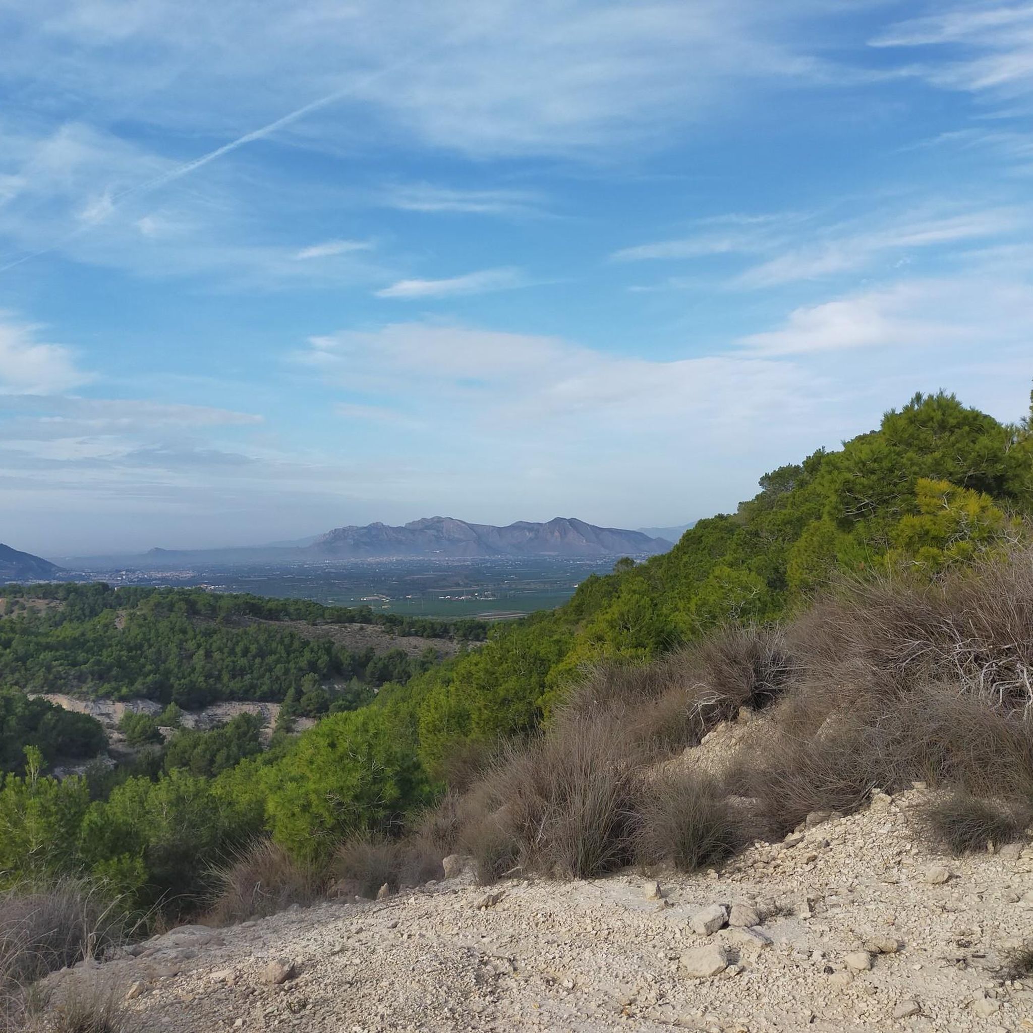
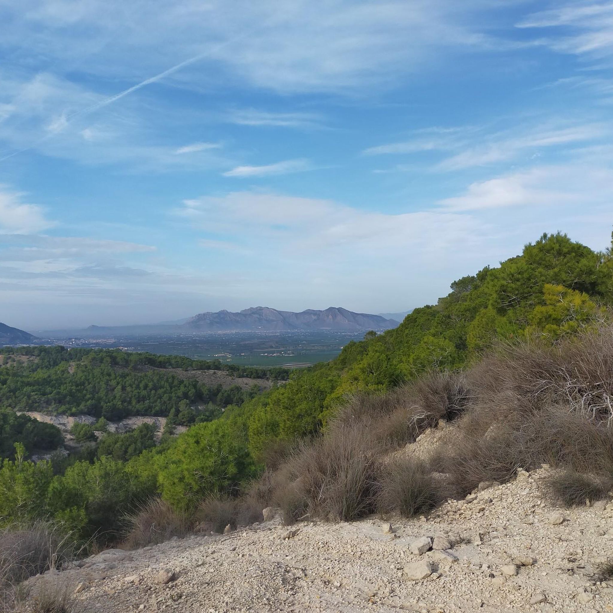
Balcón de Benejúzar: a stunning view of all of the mountain ranges in the Vega Baja and beyond
0
0
Early morning from the Géodesico lets one enjoy a beautiful sunrise
0
0

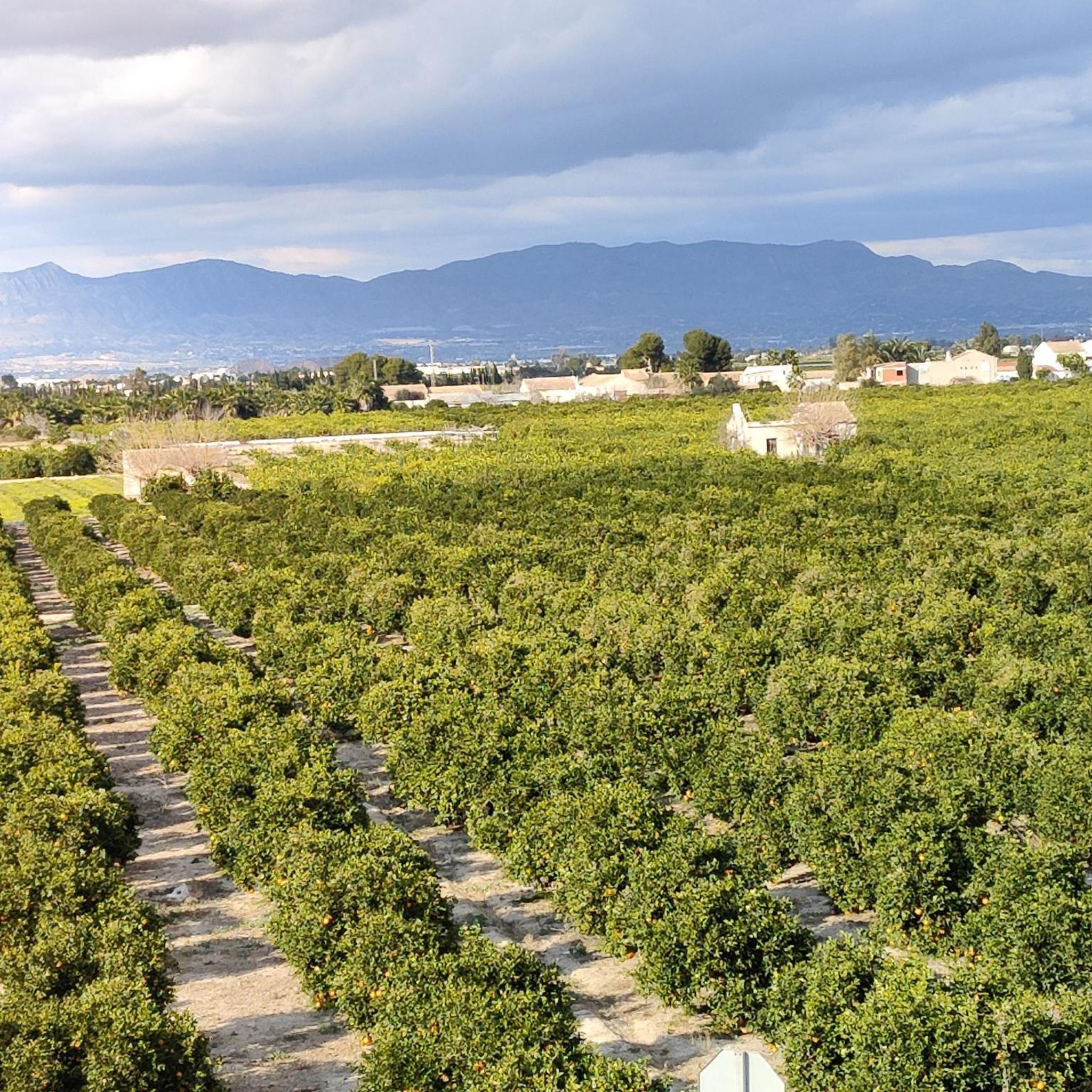
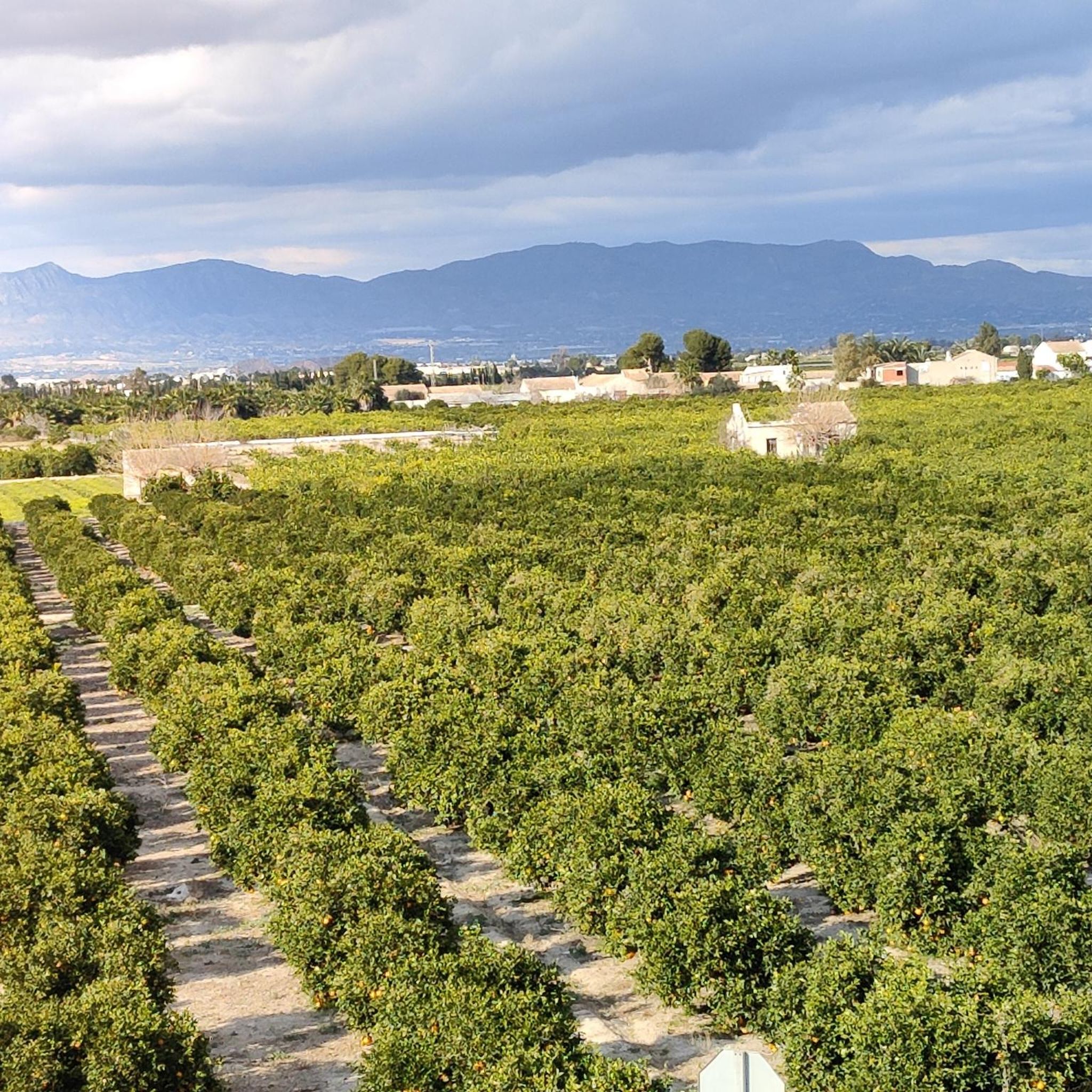
Super nice route with beautiful views
0
0


Very nice walk
0
0


This hike is for an advanced hiker. Nice route but with many unevennesses of the ground.
2
0

We didn't ride the trails, we rode the dirt road. This is drivable for everyone. The trails branch off from there.
2
0
Frequently Asked Questions
What types of hiking trails can I expect in Benejúzar?
Benejúzar offers a diverse range of hiking experiences, from easy walks to more moderate challenges. You'll find trails winding through the Sierra de Benejúzar mountain range, along the picturesque Segura River, and across rolling hills and dry riverbeds. The region is known for its accessible paths suitable for various fitness levels.
Are there any easy or family-friendly hiking routes in Benejúzar?
Yes, Benejúzar is well-suited for families and those seeking easier walks. For instance, the Rocky Trail View – Cabezo de los Mozos loop from Benejúzar is an easy 5.1 km route that takes about 1 hour 29 minutes, offering pleasant views without significant challenge. Overall, nearly 40% of the trails in the area are rated as easy.
Can I find circular hiking routes in Benejúzar?
Absolutely. Many of the trails in Benejúzar are designed as loops, allowing you to start and end at the same point. A great example is the moderate Camino del Alto – Rocky Canyon loop from Benejúzar, which covers 7.6 km and explores the unique rocky canyon terrain.
What natural landmarks or points of interest can I see while hiking around Benejúzar?
Benejúzar's trails offer access to several interesting natural features. You can explore the Sierra de Benejúzar with peaks like Cabezo de los Mozos, or enjoy the tranquil paths along the Segura River. Nearby, you might also visit the unique La Pedrera Reservoir or the fascinating Rodeo Caves. For panoramic views, consider routes that pass by the Cruz de la Muela.
Are there any trails that follow dry riverbeds or offer unique landscapes?
Yes, Benejúzar features routes that traverse interesting landscapes, including dry riverbeds. The Dry river bed – Path along the Segura River loop from La Finca R17 is a notable example, offering a 15.4 km journey through these distinctive terrains and alongside the river.
What do other hikers say about the trails in Benejúzar?
The hiking trails around Benejúzar are highly regarded by the komoot community, holding an average rating of 4.3 stars from over 500 reviews. Hikers often praise the diverse landscapes, from mountain views to peaceful riverside paths, and the accessibility of routes for different skill levels.
What is the best time of year to go hiking in Benejúzar?
Benejúzar, located in the southern province of Alicante, generally enjoys a mild climate. The spring and autumn months are often ideal for hiking, offering comfortable temperatures and pleasant conditions. Summers can be hot, so early morning or late afternoon hikes are recommended during this season.
Are there any longer, more challenging routes for experienced hikers?
While many trails are moderate, Benejúzar does offer options for those seeking a bit more challenge. For example, the Geodetic Point of Algorfa – Rocky Trail View loop from La Finca R12 is a moderate 10.6 km route that includes more significant elevation changes, providing a good workout and rewarding views from the Geodetic Point of Algorfa.
Are there any historical sites or castles accessible from hiking trails?
While not directly on every hiking trail, the region around Benejúzar is rich in history. You can find historical sites such as Conesa Castle and Cox Castle within a short distance, offering a glimpse into the area's past. Some routes might offer distant views of these landmarks.
What kind of elevation changes can I expect on Benejúzar's trails?
Elevation changes in Benejúzar vary. While many trails are relatively flat, especially those along the Segura River, routes in the Sierra de Benejúzar can feature more noticeable ascents and descents. For instance, the Rocky Trail View – Geodetic Point of Algorfa loop from Benejúzar involves over 230 meters of elevation gain, offering a good workout and expansive views.
Are there opportunities for bird watching along the trails?
Yes, the natural landscapes around Benejúzar, particularly along the Segura River and in nearby natural parks like La Mata-Torrevieja, provide excellent opportunities for bird watching. The diverse habitats attract various bird species, making for a rewarding experience for nature enthusiasts.
Most popular routes around Benejúzar
Most popular attractions around Benejúzar

Get inspired with the komoot mobile app


Explore more
Browse the best Hikes in other regions.
