The best mountain hikes around Fago
4.5
(2)
32
hikers
4
hikes
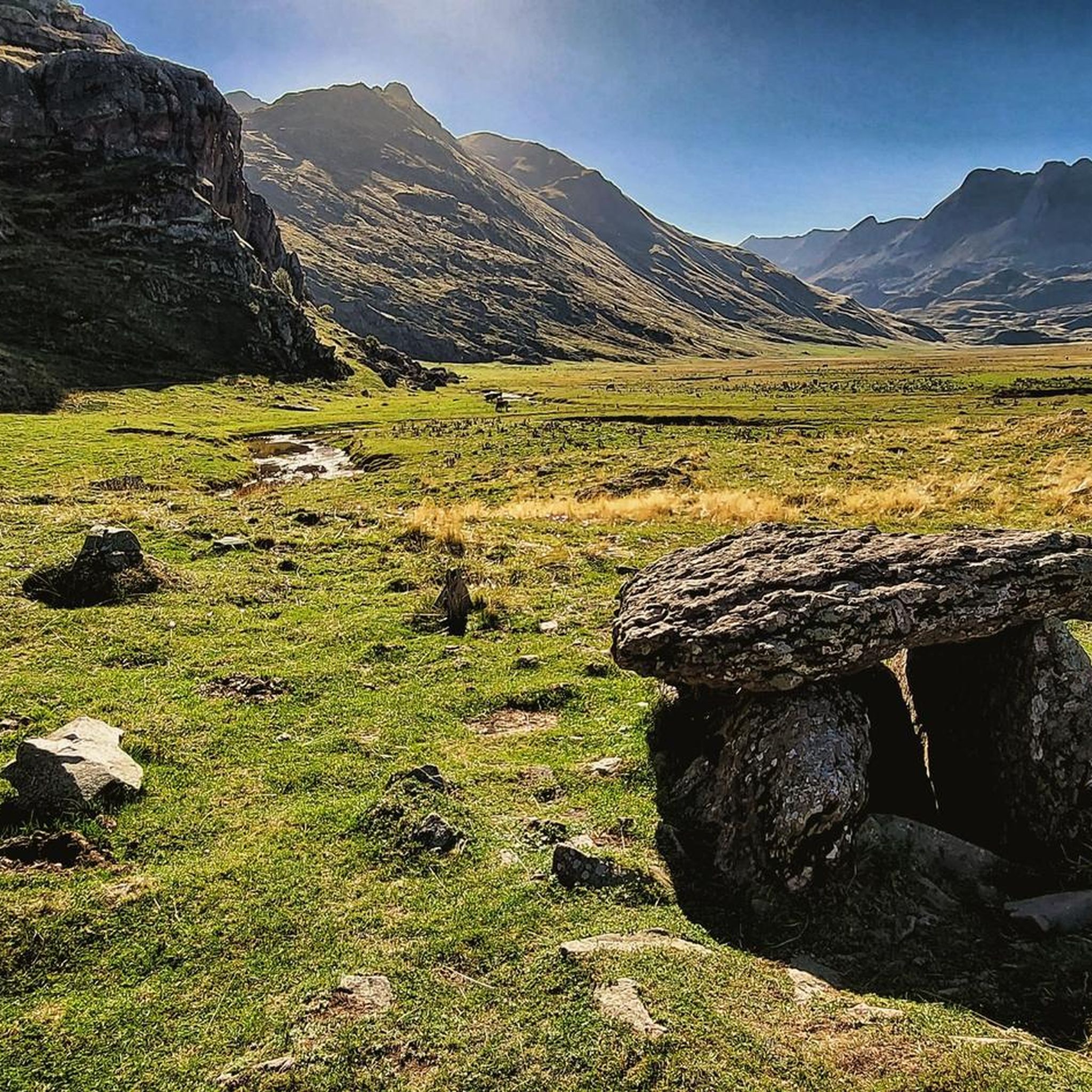
Mountaineering routes Fago are situated within the Aragonese Pyrenees, a region characterized by rugged mountainous landscapes and diverse terrain. The area features impressive natural formations, including deep canyons like Barranco de la Foz de Fago, and offers access to high peaks and challenging ascents. This part of the Huesca province provides a setting for demanding outdoor activities amidst its dramatic and often protected wilderness.
Best mountaineering routes around Fago
- The most popular mountaineering route is Castillo d'Acher loop from Caseta…
Last updated: July 3, 2026
17
hikers
10.1km
06:01
1,110m
1,100m
Hard mountaineering route. Very good fitness required. Sure-footedness, sturdy shoes and alpine experience required.
8
hikers
14.1km
05:35
910m
910m
Hard mountaineering route. Very good fitness required. Mostly accessible paths. Sure-footedness required.

Sign up for free
4.0
(1)
4
hikers
18.4km
06:56
1,130m
1,130m
Hard mountaineering route. Very good fitness required. Mostly accessible paths. Sure-footedness required.
5.0
(1)
3
hikers
Hard mountaineering route. Very good fitness required. Mostly accessible paths. Sure-footedness required.
Our route recommendations are based on thousands of hikes, rides, and runs completed by other people on komoot.
Start today with a free account
Your next adventure awaits.
Login or Signup
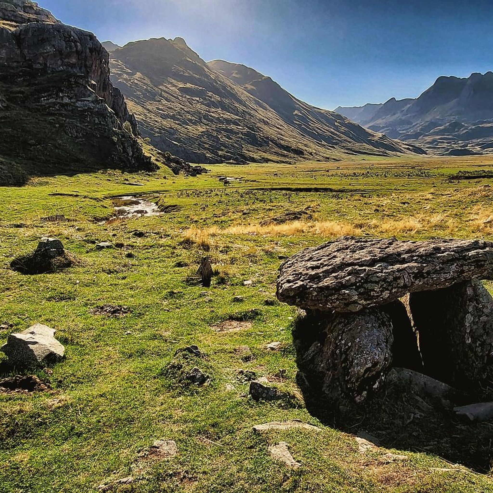
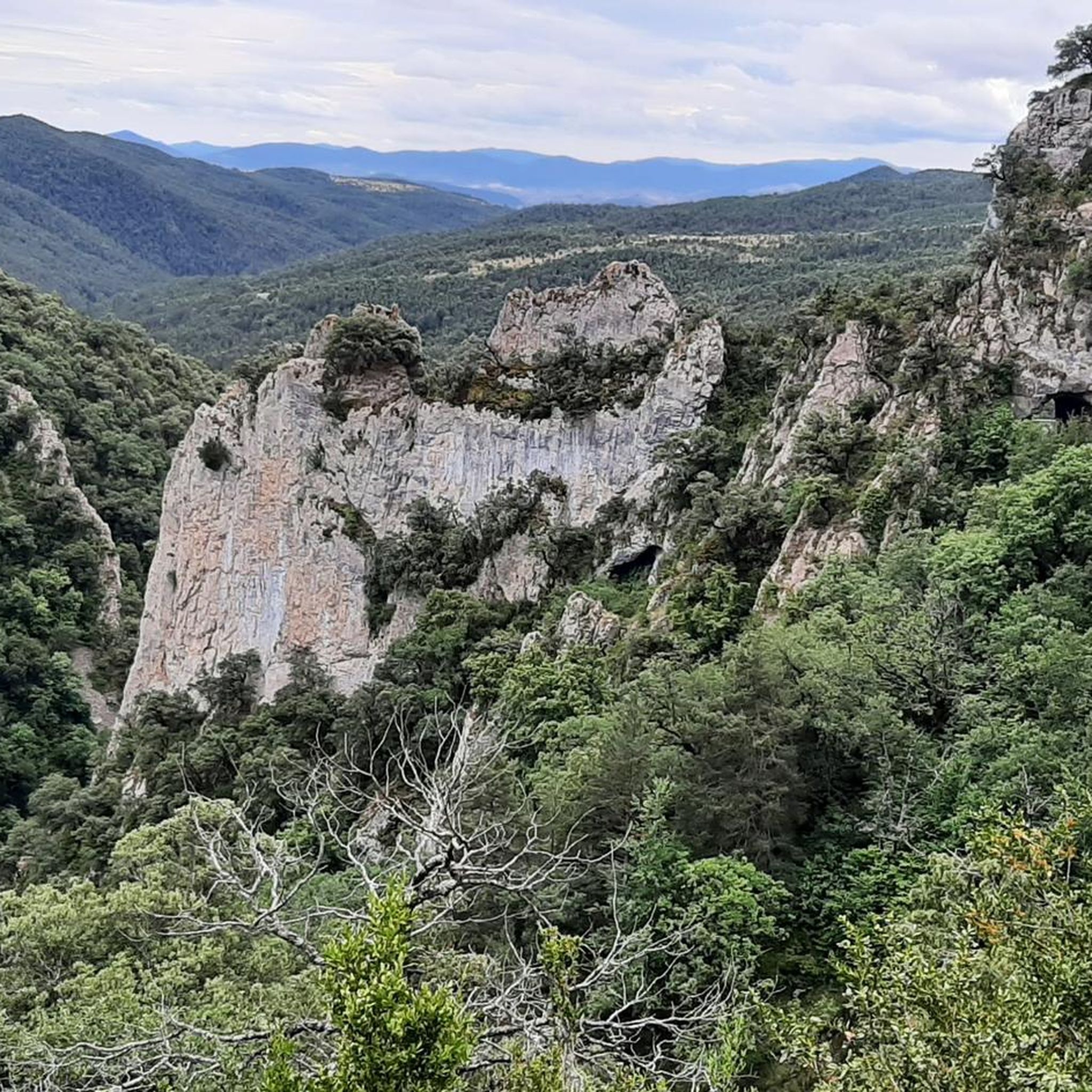
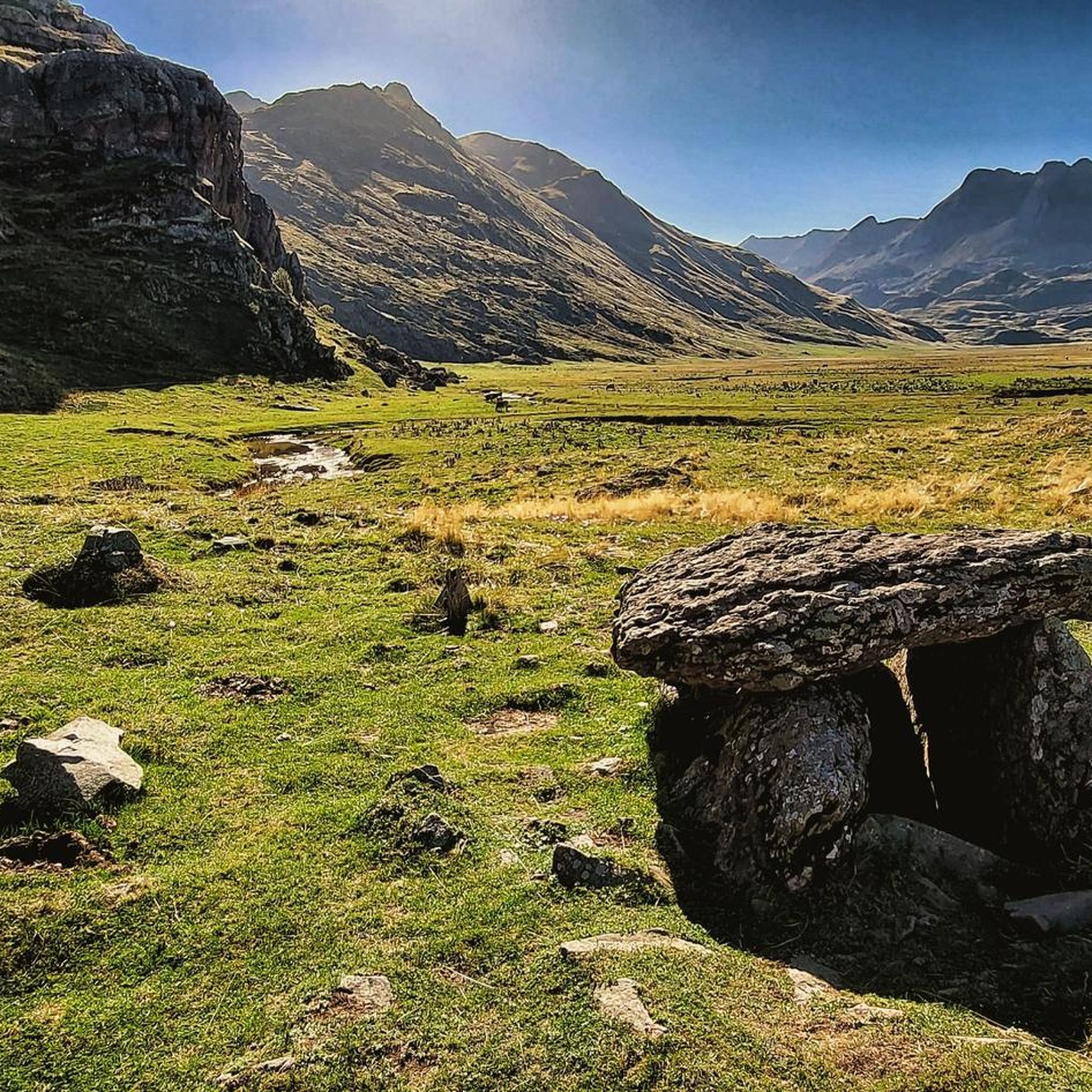
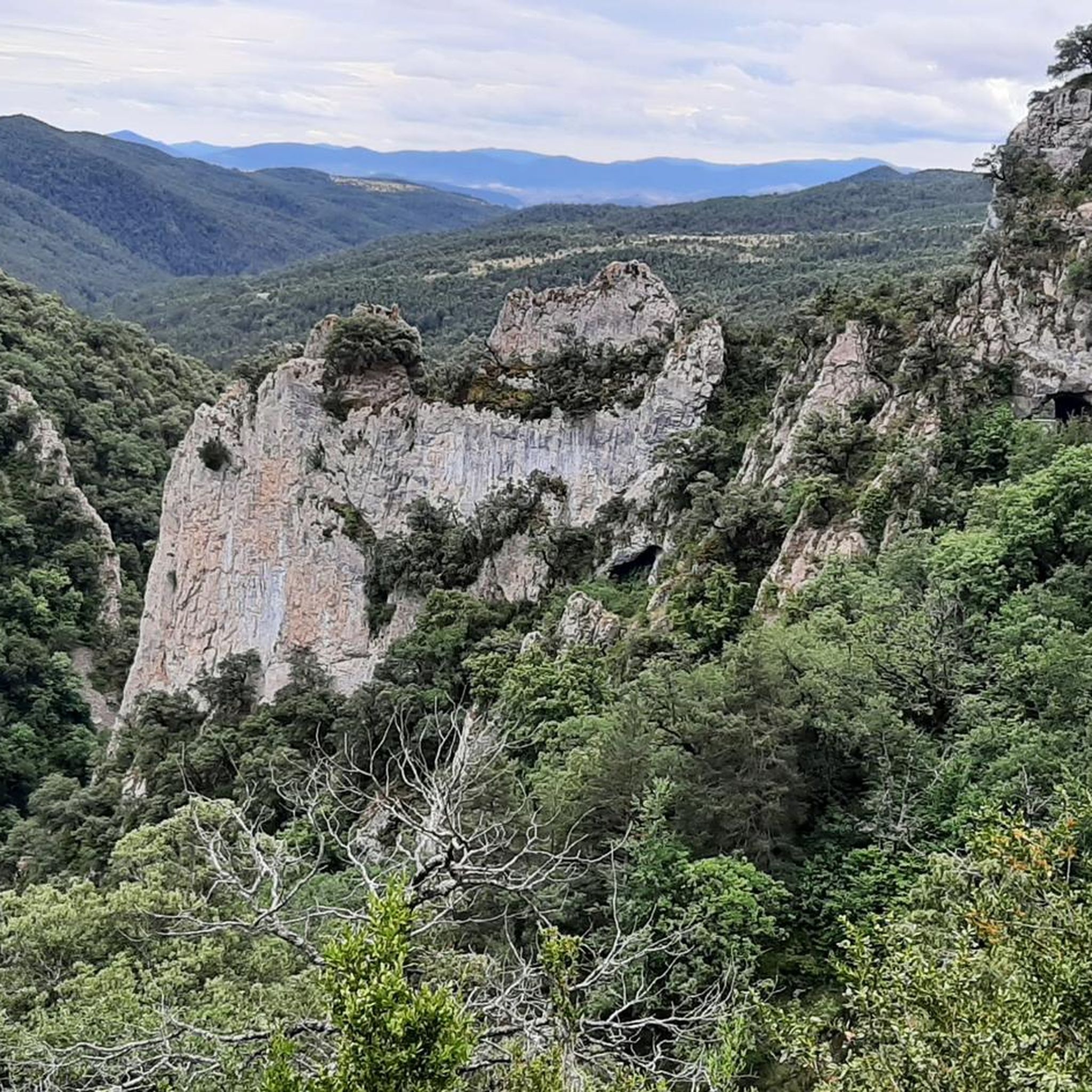
Tips from the Community

No cell phone reception in or around the hut. There's a free hot shower!
0
0
- Very tasty food - No showers - Cash required - French or Spanish skills an advantage
0
0

Good introductory hike... only about 200 meters in elevation, beautiful scenery.
0
0

A fairly difficult hike when you're not trained (which was my case) but not impossible if you take your time and go at your own pace. On the other hand, it's a very beautiful hike! The landscapes are magnificent. There are two parking lots, the Masousa parking lot and another higher up which saves 45 minutes, but the road is very bumpy.
0
0

A refuge located in the Aragüés-Jasa Valley, one of the four valleys of the Natural Park declared in 2006. Located at the western end of the Aragonese Pyrenees and covering an area of 34,000 hectares, it encompasses a great diversity and richness of both fauna and geology, making it a great place for studying and practicing nature activities.
0
0

Located on the heights of the Aspe valley, this renovated refuge reopened its doors in 2023. Hikers can come and spend the night there, have a good meal, simply have a drink or even just enjoy the dream view.
2
0

Lizara - 1540 m Access by car Open all year 75 places Llanos de Lizara, Aragües del Puerto , La Jacetania, Huesca Tel. : 974 348 433 • rlizara@gmail.com • www.refugiodelizara.com The refuge is located at the end of the Aragüés - Jasa valley, in the Valles Occidentales Natural Park, on the so-called Lizara plain and under the imposing Bisaurín. Due to its accessibility by vehicle and its surroundings, the refuge is a magnificent point for the development of introductory activities to the different mountain sports. The Lizara refuge has been certified with ISO 14001 since October 2004, thus supporting an environmental management model. The Valles Occidentales Natural Park, where the refuge is located, was declared in 2006, in an environment that combines medium and high mountains. In winter, a cross-country track is set up on the Llano de Lizara, which is managed from the refuge itself. Certification according to ISO 14001 was a pioneering experience in Spain and the Pyrenees in terms of mountain refuges, where a model of environmental management is supported with the installation of renewable energy sources, the regular practice of selective waste collection and environmental awareness campaigns.
0
0

Great view at the summit of Agua Tuertas pista. There is an unguarded shelter before the Agua Tuertas section in which you can rest for the night, with tables, chairs and even a cheminée.
0
0
Frequently Asked Questions
How many mountaineering routes are available around Fago?
There are over 9 mountaineering routes around Fago, offering a range of experiences from moderate ascents to challenging, high-elevation trails within the Aragonese Pyrenees.
Are there routes suitable for beginners or those looking for an easier mountaineering experience?
While many routes in Fago are challenging, there are options for those seeking a moderate experience. For example, the Ibón de Acherito loop from GR11 is a moderate 7.9-mile (12.8 km) path that leads through varied mountain scenery.
What kind of challenges can I expect on the more difficult mountaineering routes in Fago?
The more difficult routes around Fago, such as the Castillo d'Acher loop from Caseta de guardabosques, often feature significant elevation gain, rugged terrain, and expansive mountain views. These trails can be long, with some taking around 6 hours to complete, and require good physical condition.
Are there any circular mountaineering routes in the Fago area?
Yes, many of the mountaineering routes around Fago are circular, allowing you to return to your starting point without retracing your steps. Examples include the Punta Bisaurín – Colláu de lo Foratón loop from Refugio de Lizara and the Laquet de Caillaous – Lac d'Arlet loop from Terrailh.
What natural landmarks or points of interest can I discover along these routes?
The Fago region, nestled in the Aragonese Pyrenees, is rich in natural beauty. Along the routes, you might encounter impressive water features like the Barranco de la Foz de Fago, or mountain lakes such as Ibón de Acherito. You can also explore significant mountain passes like Somport Pass or enjoy views from points like Achar of Aguas Tuertas.
Is Fago a good destination for family-friendly mountaineering?
Fago's mountaineering routes are generally characterized by rugged mountains and challenging terrain, with a majority rated as difficult. While there are moderate options, families with younger children or those new to mountaineering might find the trails demanding. It's best to check individual route details for suitability.
Can I bring my dog on the mountaineering trails around Fago?
Many trails in the Aragonese Pyrenees are dog-friendly, but regulations can vary, especially within protected areas like national parks. It's always recommended to check specific trail rules or local signage regarding dogs, and to keep them on a leash to protect wildlife and other hikers.
What is the best time of year for mountaineering in Fago?
The spring and summer months (late May to early October) are generally the best time for mountaineering in Fago, offering more stable weather and accessible trails. Spring brings optimal water levels for canyoning in areas like Barranco de la Foz de Fago, while summer provides warmer conditions for higher-altitude treks. Always check local weather forecasts before heading out.
Are there any huts or refuges along the mountaineering routes for overnight stays or breaks?
Yes, the region around Fago offers several huts and refuges that can serve as resting points or overnight accommodations. Notable options include the Ansabère Huts, Arlet Refuge, and Lizara Refuge, which can be found along various routes.
What do other mountaineers say about their experience in Fago?
The mountaineering routes in Fago are highly rated by the komoot community, with an average score of 4.8 stars from over 9 reviews. More than 120 mountaineers have used komoot to explore Fago's varied terrain, often praising the dramatic landscapes and challenging ascents within the Aragonese Pyrenees.
Where can I find parking near the trailheads for mountaineering routes?
Parking availability varies by trailhead. For routes like the Trail to the Ansabère Huts – Mountain Pond View loop, there's an Aire de Stationnement de Masousa. Other routes, such as the Punta Bisaurín – Colláu de lo Foratón loop, start from established refuges like Refugio de Lizara, which typically have parking facilities. It's advisable to check the specific route details for parking information.
Are permits required for mountaineering in the Fago region?
While general hiking in the Aragonese Pyrenees typically doesn't require permits, specific regulations may apply to certain protected areas, national parks (like Ordesa y Monte Perdido National Park), or for activities like canyoning in Barranco de la Foz de Fago. Always check with local authorities or park information centers if your route enters a designated protected zone.
How long do mountaineering routes around Fago typically take to complete?
The duration of mountaineering routes around Fago varies significantly based on difficulty and distance. Moderate routes, like the Ibón de Acherito loop, can take around 5 hours. More difficult and longer routes, such as the Castillo d'Acher loop or the Punta Bisaurín – Colláu de lo Foratón loop, often require about 6 hours or more to complete.
Most popular attractions around Fago

Get inspired with the komoot mobile app


Explore more
Browse the best Mountain Hikes & Routes in other regions.
