The best walks and hikes around Borkenberge
4.6
(16593)
61,377
hikers
1,349
hikes
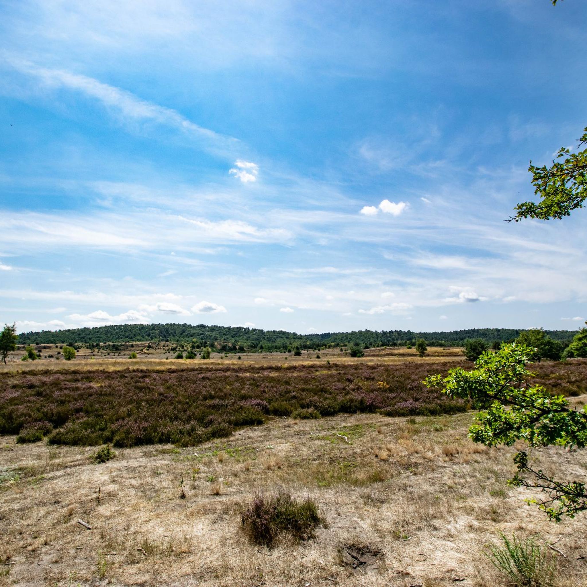
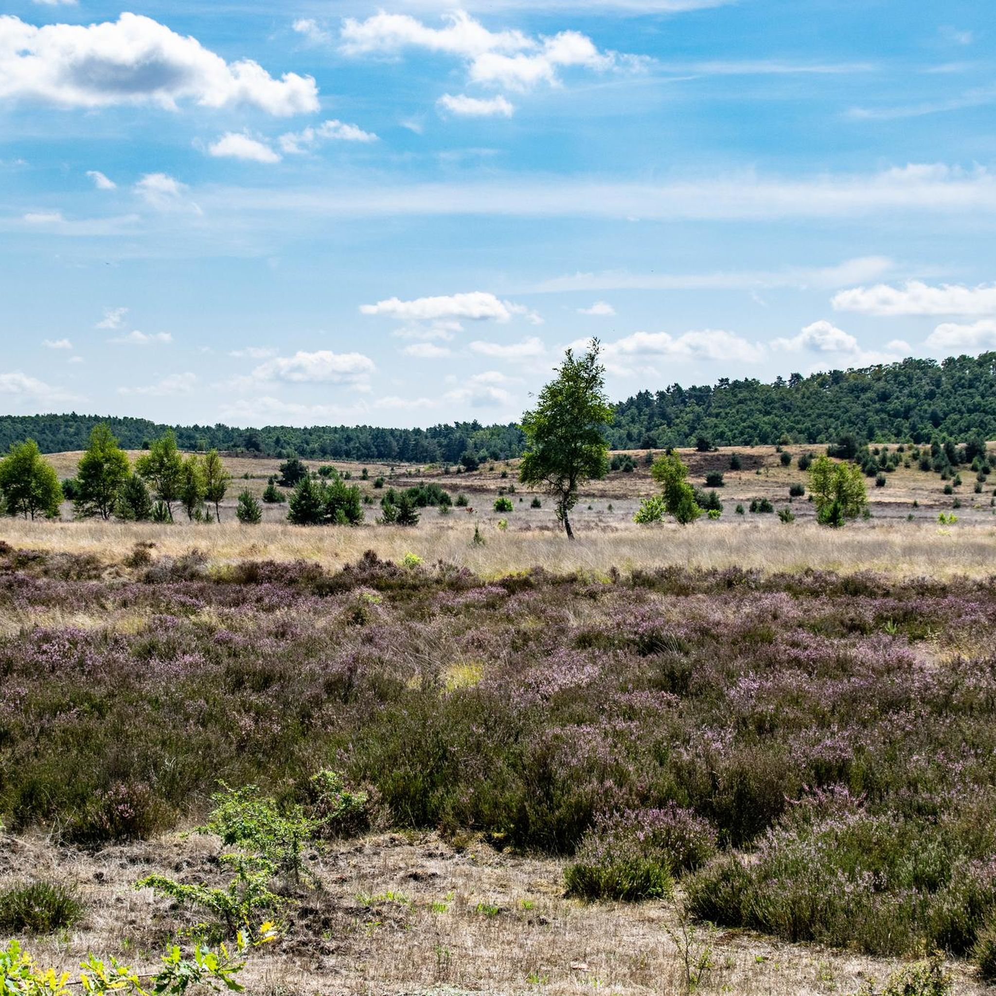
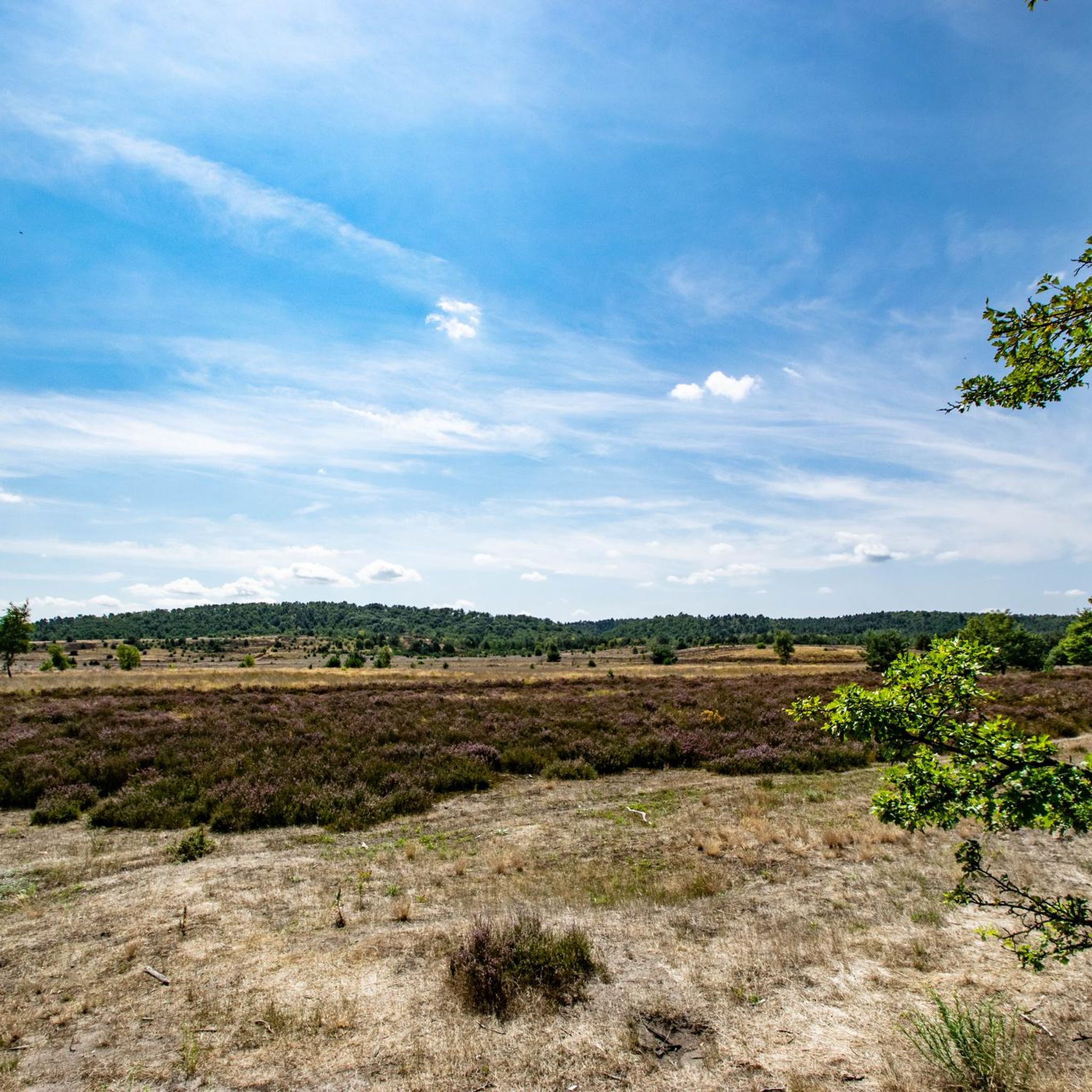
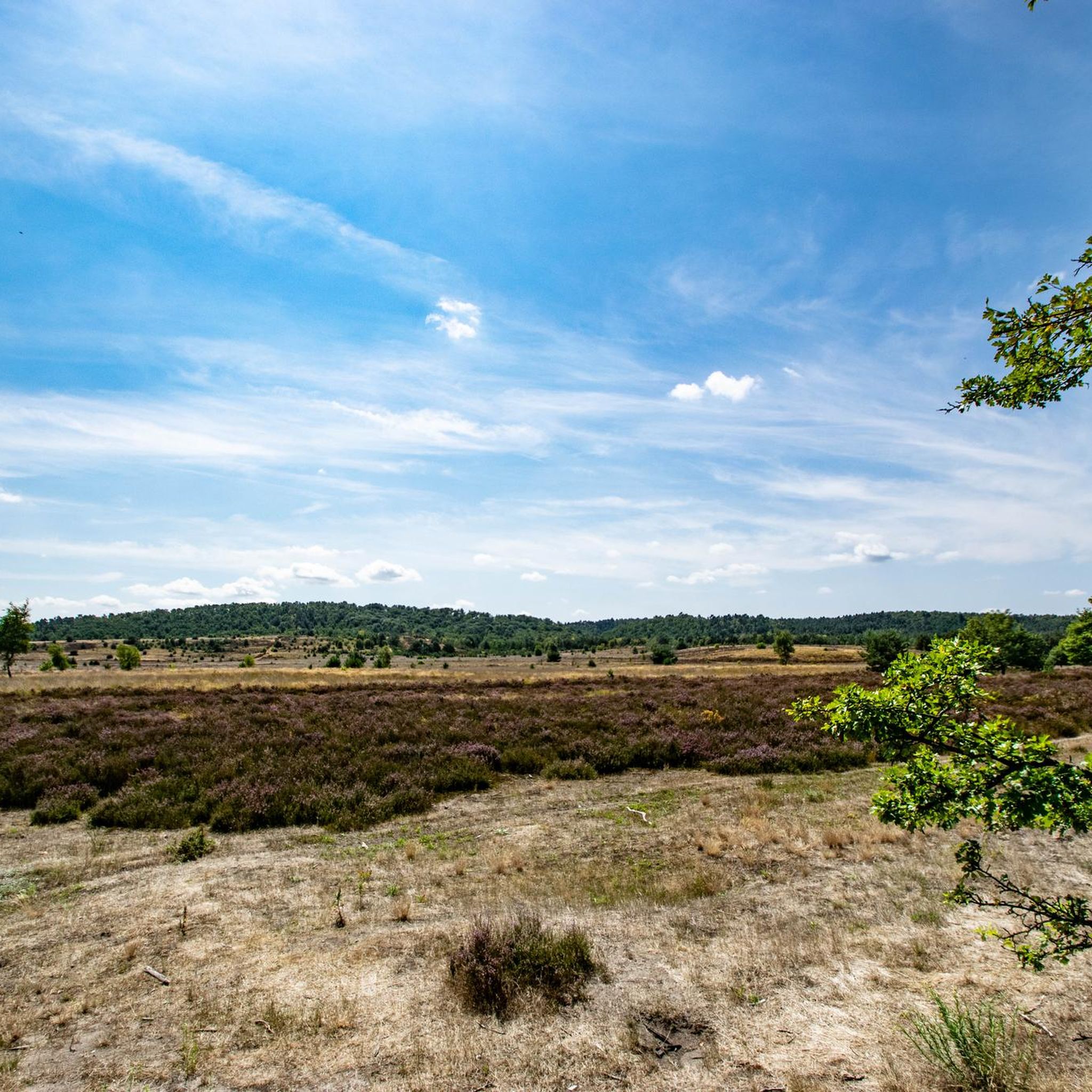
Hiking around Borkenberge offers diverse landscapes, including extensive forests, unique heathland, and sandy areas with inland dunes. The region features the Silbersee II lake, known for its sandy beach, and tranquil riverside paths along the Sandbach. This varied terrain provides a range of natural environments for outdoor activities.
Best hiking trails around Borkenberge
- The most popular hiking route is Sandbach Riverside Path – Sandbach Stream loop from Hochmoor Borkenberge, a 5.7 miles (9.1 km) trail that takes 2 hours…
Last updated: July 5, 2026
4.2
(75)
253
hikers
Moderate hike. Good fitness required. Easily-accessible paths. Suitable for all skill levels.
4.2
(21)
57
hikers
Hard hike. Very good fitness required. Easily-accessible paths. Suitable for all skill levels.

Sign up for free
4.3
(11)
25
hikers
Moderate hike. Good fitness required. Easily-accessible paths. Suitable for all skill levels.
3.8
(5)
22
hikers
Easy hike. Great for any fitness level. Easily-accessible paths. Suitable for all skill levels.
4.3
(3)
22
hikers
Easy hike. Great for any fitness level. Easily-accessible paths. Suitable for all skill levels.
Get access to more routes and recommendations from other explorers.
Sign up for free
Already have an account?
Our route recommendations are based on thousands of hikes, rides, and runs completed by other people on komoot.
Start today with a free account
Your next adventure awaits.
Login or Signup
Tips from the Community

Is this the "Krombacher" island from the commercial? It has the vibe!
0
0
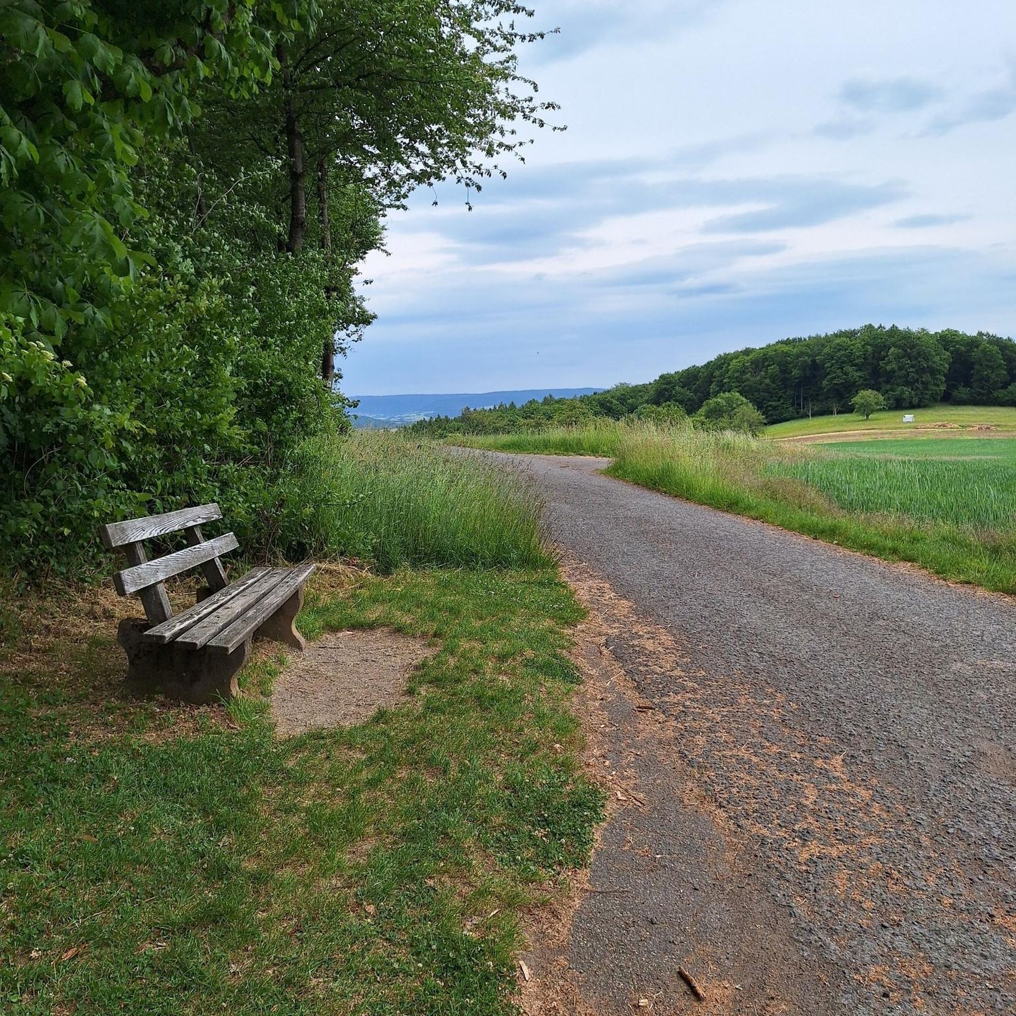
Pleasant in partial shade
0
0


The bank then takes a break
4
0

A local recreation area connected to the Haltern Reservoir. Well-paved bike paths and hiking trails are available.
0
0
One of several places to linger at the reservoir.
0
0

whole loop...approx. 13 km
0
0
Frequently Asked Questions
What types of landscapes can I expect to see while hiking in Borkenberge?
Borkenberge offers a diverse range of landscapes, including extensive forests, unique heathland, and sandy areas with inland dunes. You'll also find tranquil riverside paths along the Sandbach and the popular Silbersee II, known for its sandy beach. The heathland, particularly vibrant when heather blooms, adds a distinct character to the area, providing a habitat for specialized flora and fauna. For more information on heathland ecosystems, you can refer to resources like this article on heathland biodiversity.
Are there many hiking trails available in Borkenberge?
Yes, Borkenberge offers a vast network of hiking trails. There are nearly 1300 routes available, catering to various preferences and fitness levels. This includes over 840 easy routes, more than 400 moderate trails, and 35 challenging options.
Are there any easy or family-friendly hikes in Borkenberge?
Absolutely. Borkenberge has over 840 easy routes, many of which are suitable for families. An example of an easy and scenic route is the POTTkantine Café – Scenic Road Around Borkenberge loop from Hochmoor Borkenberge, which is 5.2 km long and takes about 1 hour 18 minutes to complete. This route offers gentle terrain and passes by a café, making it a pleasant option for a relaxed outing.
Can I bring my dog on the hiking trails in Borkenberge?
Many trails in Borkenberge are dog-friendly, allowing you to enjoy the natural surroundings with your canine companion. It's always recommended to keep dogs on a leash, especially in nature reserve areas, to protect local wildlife and ensure a pleasant experience for all hikers. The varied terrain, from forests to open heathland, provides plenty of interesting sights and smells for dogs.
What are some interesting landmarks or attractions to see along the trails?
Borkenberge offers several points of interest. You can explore the Borkenberge Nature Reserve itself, or discover the unique Pregel Road Through Naturpark Hohe Mark - Westmünsterland, also known as the 'Panzerstraße,' which was formerly a military training area. There's also the Panzerstraße and Borkenberge Airfield Café, offering a glimpse into the area's history. For scenic views, don't miss the View of Borkenberge Nature Reserve.
Are there any circular hiking routes in Borkenberge?
Yes, many of the hiking routes in Borkenberge are circular, offering convenient starting and ending points. For instance, the Sandbach Riverside Path – Sandbach Stream loop from Hochmoor Borkenberge is a popular 9.1 km loop that takes about 2 hours 19 minutes, following a tranquil stream. Another option is the Borkenberge Airfield – Scenic Road Around Borkenberge loop from Hochmoor Borkenberge, a 7.9 km trail through heathland.
What is the best time of year to go hiking in Borkenberge?
Borkenberge is beautiful year-round, but the best time depends on your preferences. Spring and autumn offer pleasant temperatures and vibrant colors, with the heathland being particularly stunning in late summer/early autumn when the heather blooms, transforming large areas into a vibrant purple. Summer is ideal for enjoying Silbersee II, while winter can offer serene, quiet walks, though some paths might be muddy or icy.
Are there any cafes or places to eat near the hiking trails?
Yes, there are options for refreshments. For example, the POTTkantine Café – Scenic Road Around Borkenberge loop from Hochmoor Borkenberge and the POTTkantine Café – Borkenberge Airfield loop from Hochmoor Borkenberge both incorporate the POTTkantine Café into their routes, offering a convenient stop for hikers.
What do other hikers enjoy most about hiking in Borkenberge?
The komoot community highly rates the hiking experience in Borkenberge, with an average score of 4.6 stars from over 16,000 reviews. Hikers often praise the diverse landscapes, from the unique heathland and sandy areas to the tranquil forests and the appealing Silbersee II. The well-maintained trails and the variety of routes for different skill levels are also frequently highlighted.
Is there public transport access to the hiking areas in Borkenberge?
While Borkenberge is primarily accessed by car, some areas may be reachable via regional bus services from nearby towns like Haltern am See or Dülmen. It's advisable to check local public transport schedules and routes in advance, as direct access to all trailheads might be limited. Planning your route with public transport in mind will help you identify the most convenient starting points.
Where can I park my car when visiting Borkenberge for a hike?
There are several designated parking areas around the Borkenberge Nature Reserve, especially near popular trailheads and attractions like Silbersee II or the Hochmoor Borkenberge. These parking spots are usually well-marked. It's recommended to arrive early during peak seasons to secure a space, particularly on weekends.
Most popular routes around Borkenberge
Most popular attractions around Borkenberge

Get inspired with the komoot mobile app


Explore more
Browse the best Hikes in other regions.
