The best mountain hikes around Pinilla Del Valle
14
hikers
3
hikes
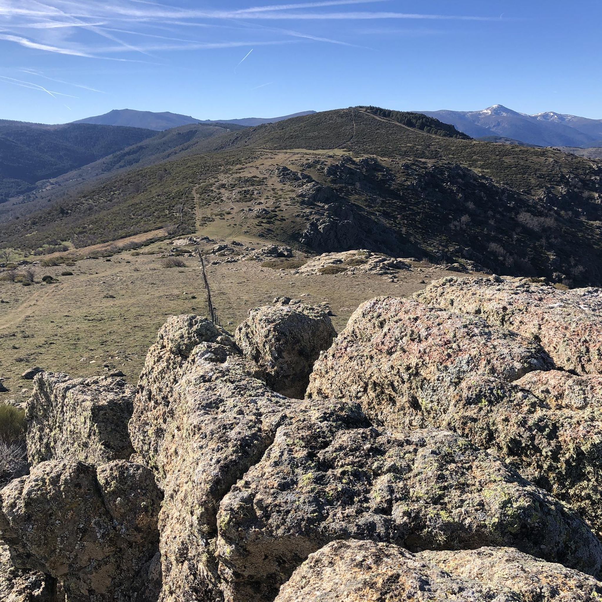
Mountaineering routes around Pinilla Del Valle are situated within the Sierra de Guadarrama National Park, characterized by majestic mountains and high peaks. The region features diverse ecosystems, including dense forests of Scots pine and oak, and prominent summits like Pico del Nevero (2,209 meters). These landscapes offer significant elevation gains and varied terrain for exploration. The area is also home to the Embalse de Pinilla, a reservoir that adds to the natural scenery.
Best mountaineering routes around Pinilla Del Valle
- The most popular mountaineering route is La Najarra – Refugio La Najarra loop from Puerto de la Morcuera, a 3.4 miles (5.5 km) trail that takes 2 hours 28 minutes to complete. This moderate route offers views from Puerto de la Morcuera.
- Another top favourite among local mountaineers is Nevero Peak – Navafría Pass loop from Puerto de Navafría, a moderate 7.4 miles (11.9 km) path. This route ascends towards Nevero Peak, providing panoramic mountain scenery.
- Local mountaineers also love the Monastery of El Paular – El Paular Monastery loop from Rascafría, a 9.9 miles (15.9 km) trail leading through the Lozoya Valley, often completed in about 4 hours 36 minutes.
- Mountaineering around Pinilla Del Valle is defined by majestic mountains, high peaks, and dense forests of Scots pine and oak. The network offers options for different ability levels, primarily featuring moderate routes.
- The guide includes highly-rated routes that showcase the best of the region's landscape. More than 10 mountaineers have used komoot to explore Pinilla Del Valle's varied terrain.
Last updated: August 21, 2026
5
hikers
5.62km
02:30
330m
330m
Moderate mountaineering route. Good fitness required. Mostly accessible paths. Sure-footedness required.
7
hikers
11.9km
04:31
480m
480m
Moderate mountaineering route. Good fitness required. Mostly accessible paths. Sure-footedness required.

Sign up for free
2
hikers
15.9km
04:36
420m
420m
Moderate mountaineering route. Good fitness required. Mostly accessible paths. Sure-footedness required.
Our route recommendations are based on thousands of hikes, rides, and runs completed by other people on komoot.
Start today with a free account
Your next adventure awaits.
Login or Signup

Tips from the Community

Watch out for the asphalt on the descent, there are potholes and the surface is quite uneven. You won't even notice it on the climb.
0
0

It is located in the Sierra de Guadarrama mountain range, between the municipalities of Miraflores de la Sierra and Rascafría, in the Community of Madrid. From Miraflores de la Sierra (1200m), the route ascends approximately 600m over 10km (average gradient 4–6%), and after reaching the summit, it descends 13km to Rascafría (1150m) with a gradient of 4.5–7%.
6
0

They're currently rehabilitating it. Small, but it could save you in a storm.
0
0


highest peak of the Carpetanos Mountains, beautiful
0
0
nice corner to enjoy the views
0
0
Pico del Nevero, the highest of the Carpetanos Mountains, with beautiful views.
0
0

El Nevero is one of the highest and most important mountains in the Guadarrama Mountains, at 2,209 meters above sea level. It is located on the border between the Community of Madrid and the Province of Segovia. As it forms part of the Guadarrama Mountains National Park, access to it by bicycle is prohibited, as fines may apply.
0
0
Frequently Asked Questions
What kind of terrain can I expect on mountaineering routes around Pinilla Del Valle?
Mountaineering routes in Pinilla Del Valle, located within the Sierra de Guadarrama National Park, feature diverse terrain. You'll encounter majestic mountains and high peaks, including prominent summits like Pico del Nevero (2,209 meters). The area also boasts dense forests of Scots pine and oak, offering varied environments and significant elevation gains.
Are there any circular mountaineering routes in Pinilla Del Valle?
Yes, several mountaineering routes around Pinilla Del Valle are circular. For example, you can explore the La Najarra – Refugio La Najarra loop from Puerto de la Morcuera, which is a moderate 3.4-mile (5.5 km) trail. Another option is the Nevero Peak – Navafría Pass loop from Puerto de Navafría, a moderate 7.4-mile (11.9 km) path offering panoramic mountain scenery.
What are some notable landmarks or viewpoints I can see while mountaineering in the area?
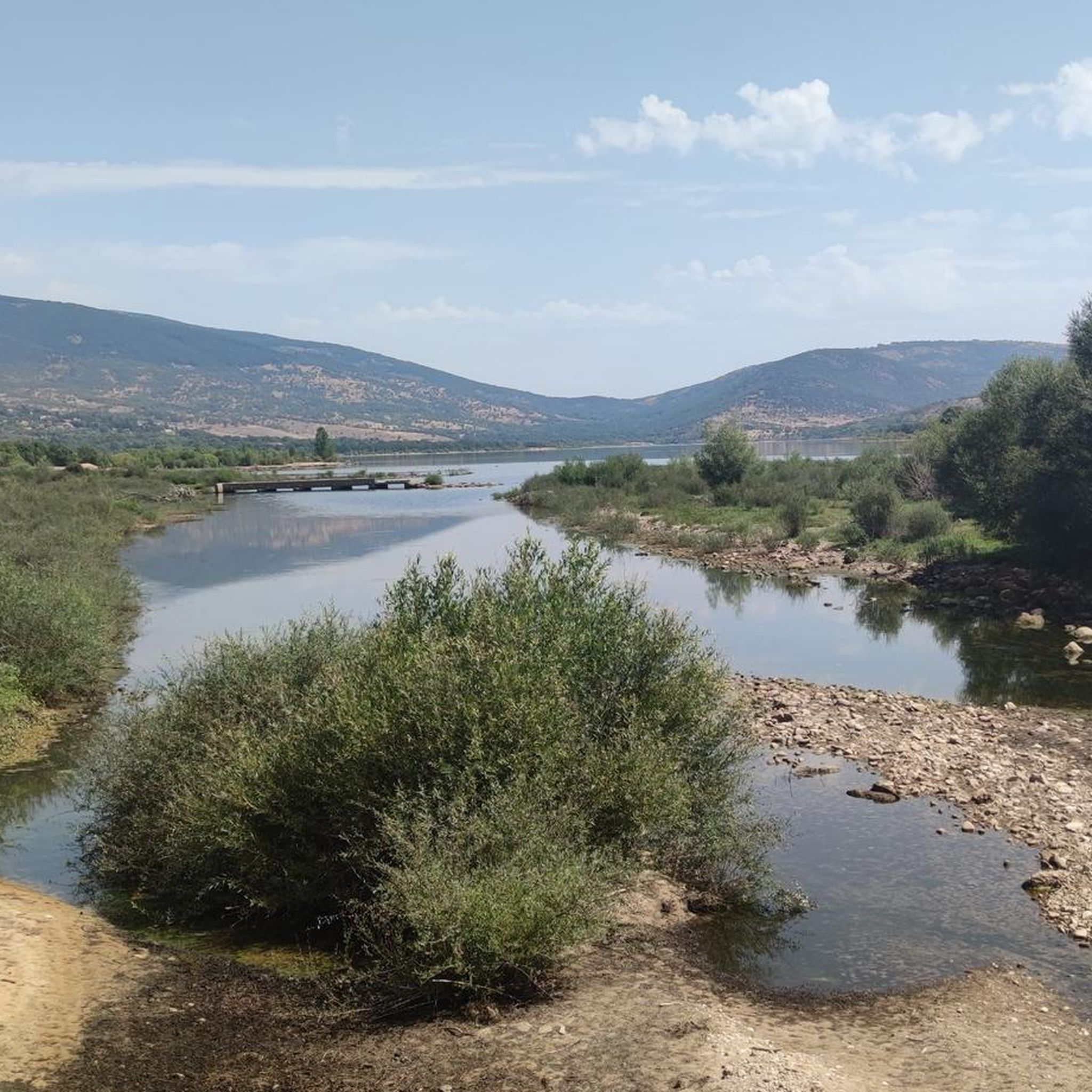
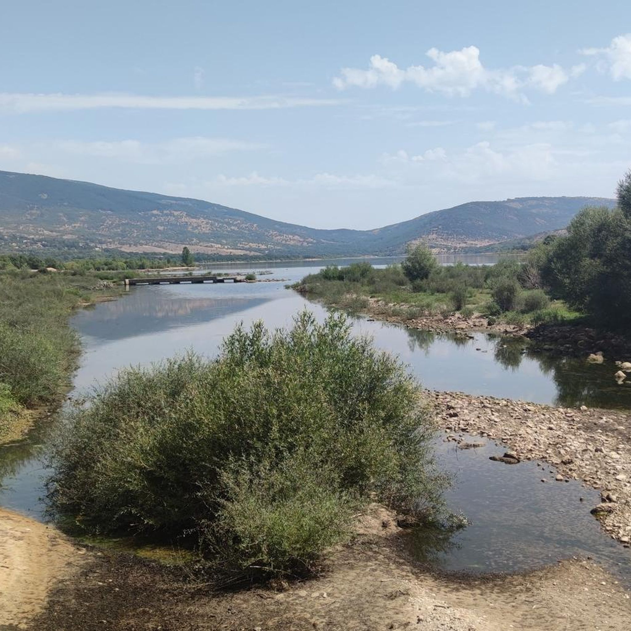
The region offers several impressive landmarks and viewpoints. You can ascend towards Nevero Peak for spectacular panoramic views of the Lozoya Valley and other mountain ranges. The La Najarra Summit is another prominent feature. Additionally, the Pinilla Reservoir Viewpoint provides picturesque views of the Embalse de Pinilla.
How long do mountaineering routes typically take around Pinilla Del Valle?
The duration of mountaineering routes varies depending on their length and difficulty. For instance, the moderate La Najarra – Refugio La Najarra loop typically takes around 2 hours and 28 minutes to complete. A longer route, such as the Monastery of El Paular – El Paular Monastery loop from Rascafría, which is 9.9 miles (15.9 km), usually takes about 4 hours and 36 minutes.
Are there any family-friendly mountaineering options in Pinilla Del Valle?
While the routes listed are generally moderate and involve significant elevation, the area does offer diverse trails. For families, it's best to choose shorter, well-defined paths. Always check the specific route details for distance and elevation gain to ensure it matches your family's fitness level and experience.
What is the best time of year for mountaineering in Pinilla Del Valle?
Pinilla Del Valle is suitable for mountaineering across different seasons, but the best time depends on your preferences. Spring and autumn offer pleasant temperatures and vibrant landscapes. Summer can be warm, making early morning starts ideal. Winter mountaineering is possible but requires appropriate gear and experience due to snow and colder conditions, especially on higher peaks like Pico del Nevero.
What are the difficulty levels of the mountaineering routes in this area?
The mountaineering routes around Pinilla Del Valle primarily feature moderate difficulty levels. These routes offer a good balance of challenge and accessibility, suitable for those with some hiking experience and good fitness. There are no routes classified as easy or difficult in the current selection, making it a great area for intermediate mountaineers.
Are there any archaeological or historical sites near the mountaineering trails?
Yes, the region has a unique cultural and historical dimension. The "Valle de los Neandertales," also known as Cueva de los Calveros, is an archaeo-paleontological site with ongoing research. While not directly on the mountaineering trails, it offers another point of interest for visitors exploring the wider Pinilla Del Valle area.
What kind of natural features can I expect to see besides mountains?
Beyond the majestic mountains, you'll encounter diverse natural features. The area is rich in varied ecosystems, including dense forests of Scots pine and oak. The Embalse de Pinilla, a significant reservoir, also adds to the picturesque landscape and offers opportunities for water-related recreational activities alongside your mountaineering pursuits.
How many mountaineers have explored routes in Pinilla Del Valle using komoot?
Over 10 mountaineers have used komoot to explore the varied terrain and routes around Pinilla Del Valle, indicating a growing interest in the area's mountaineering opportunities.
Are there any protected natural spaces in Pinilla Del Valle that I should be aware of?
Yes, Pinilla Del Valle is committed to conservation. It forms part of the Sierra de Guadarrama National Park and is also included in the Natura 2000 network as a Special Conservation Zone for the Lozoya River Basin and Sierra Norte. This protection helps preserve its unique landscapes and biodiversity, so please respect all local regulations during your visit.
Most popular routes around Pinilla Del Valle
Most popular attractions around Pinilla Del Valle

Get inspired with the komoot mobile app


Explore more
Browse the best Mountain Hikes & Routes in other regions.
