The best road cycling routes around La Yesa
198
riders
11
rides
Road cycling routes around La Yesa are situated in the mountainous inland province of Valencia, offering diverse terrain for cyclists. The region is characterized by its elevated position at 1040 meters, surrounded by natural areas featuring significant elevation changes. Cyclists can expect routes that traverse mountainous landscapes, ancient forests, and areas with natural springs and panoramic views. This varied geography provides engaging challenges for road cyclists of different abilities.
Best road cycling routes around La Yesa
- The most popular road…
Last updated: July 11, 2026
28
riders
25.0km
02:02
910m
910m
Hard road ride. Very good fitness required. Mostly well-paved surfaces and easy to ride.
24
riders
112km
06:22
2,370m
2,370m
Hard road ride. Very good fitness required. Mostly well-paved surfaces and easy to ride.

Sign up for free
24
riders
50.5km
02:28
760m
760m
Moderate road ride. Good fitness required. Mostly well-paved surfaces and easy to ride.
21
riders
116km
06:13
2,120m
2,120m
Hard road ride. Very good fitness required. Some segments of this route may be unpaved and difficult to ride.
17
riders
89.1km
04:50
1,620m
1,620m
Hard road ride. Very good fitness required. Some segments of this route may be unpaved and difficult to ride.
Get access to more routes and recommendations from other explorers.
Sign up for free
Already have an account?
Our route recommendations are based on thousands of hikes, rides, and runs completed by other people on komoot.
Start today with a free account
Your next adventure awaits.
Login or Signup
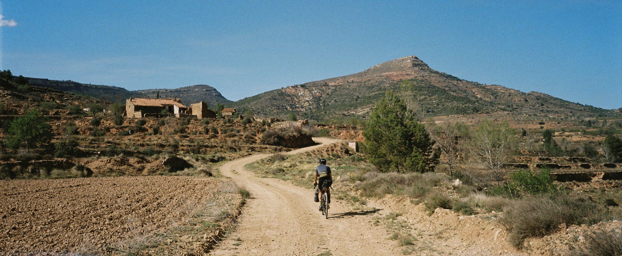
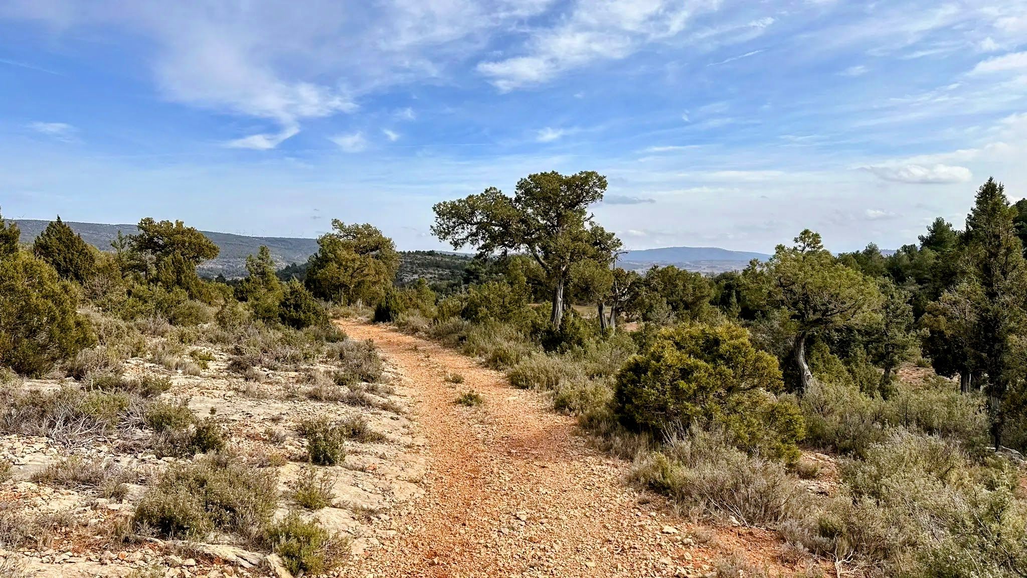
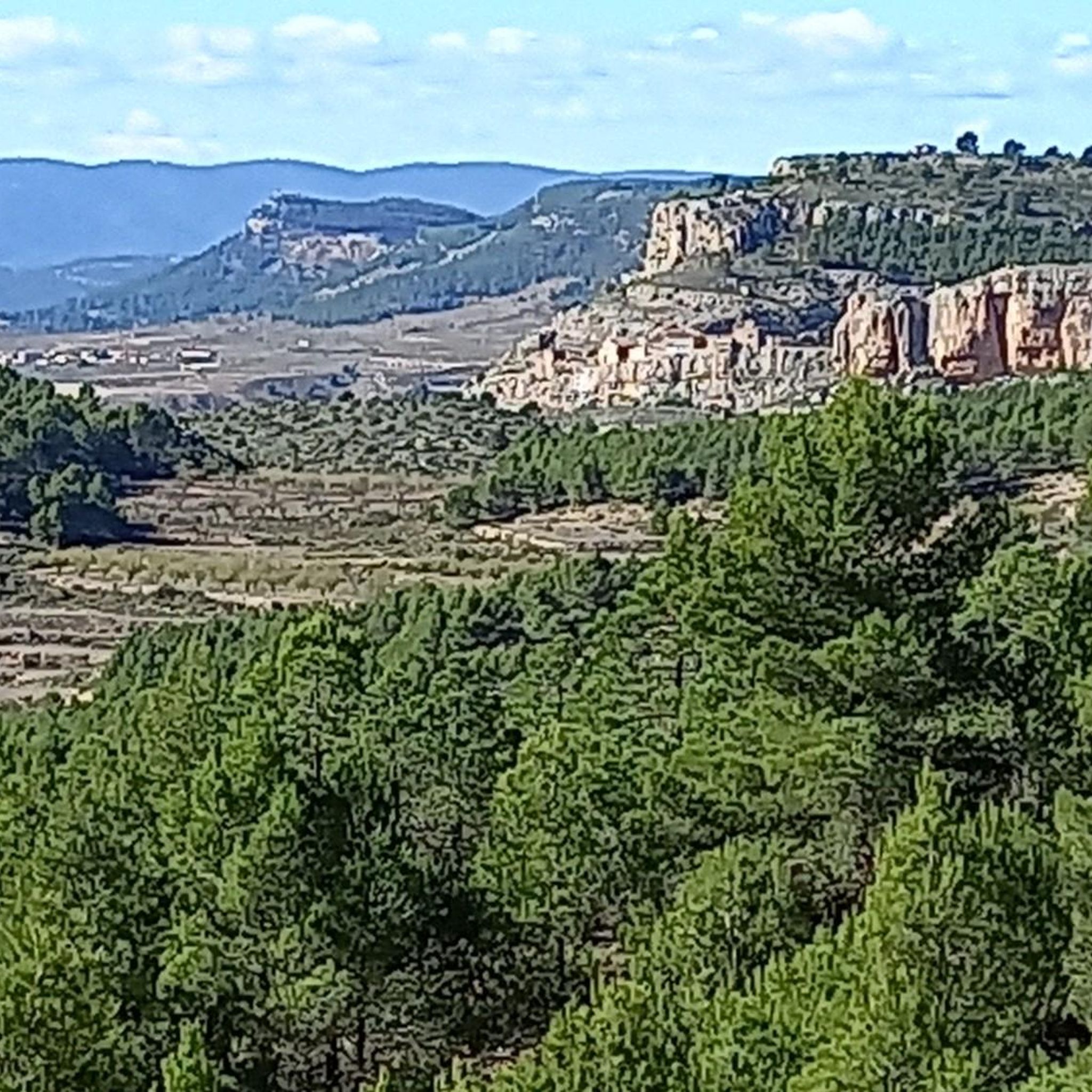
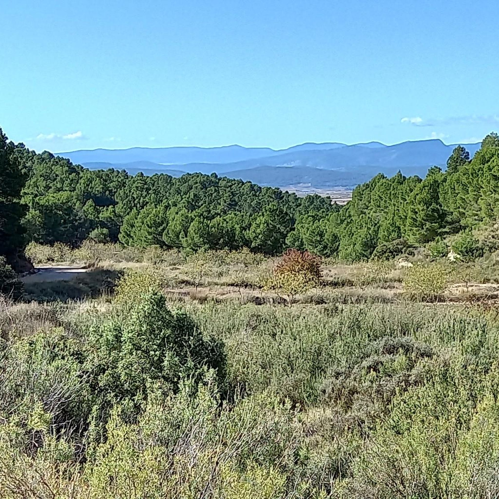


Tips from the Community

Arcos de las Salinas is a small village in the Javalambre Mountains, ideal for hiking and nature lovers. Surrounded by mountains and crossed by the Arcos and Torrijano rivers, it is part of a protected area designated as a Site of Community Interest. Its scattered villages and farmhouses give it a very authentic rural feel, perfect for unwinding. Thanks to its altitude, the climate is cool, and snow is not uncommon in winter, making it a good starting point for excursions at any time of year.
1
0
The Los Arcos aqueduct, located in Alpuente, is a 16th and 17th-century hydraulic structure that supplied water to the town and its orchards. With its thirteen pointed arches and a length of 265 meters, the arcade bridged the uneven level of the Reguero River, although the main arch was lost in a flood in 1880. Today, it is preserved as a Site of Cultural Interest and can be easily visited from the road to La Yesa. It is an interesting spot for combining history and hiking; good footwear is recommended to explore the surroundings.
2
0
Titaguas is a small town in the Los Serranos region, surrounded by mountains covered with pine, holm oak, and juniper forests, making it an ideal location for hiking. In the surrounding area, you can discover natural springs renowned for their healthy waters, as well as archaeological sites and cave paintings dating back over 9,000 years. The old town preserves historic houses and the Renaissance church of El Salvador, while local festivals keep traditions alive with the famous Mojiganga and wine-related celebrations. It's a great destination for combining nature, heritage, and popular culture, with trails accessible from the CV-35.
1
0

A complex climb coming from Calles that connects Puerto de Tuejar and the east with little rest in between. It's longer than it is intense, but it adds up to almost 20 km of sustained climbs with long sections at 6%.
0
0

Beautiful surroundings and antiquity par excellence. Stop here for some tapas and a beer
0
0

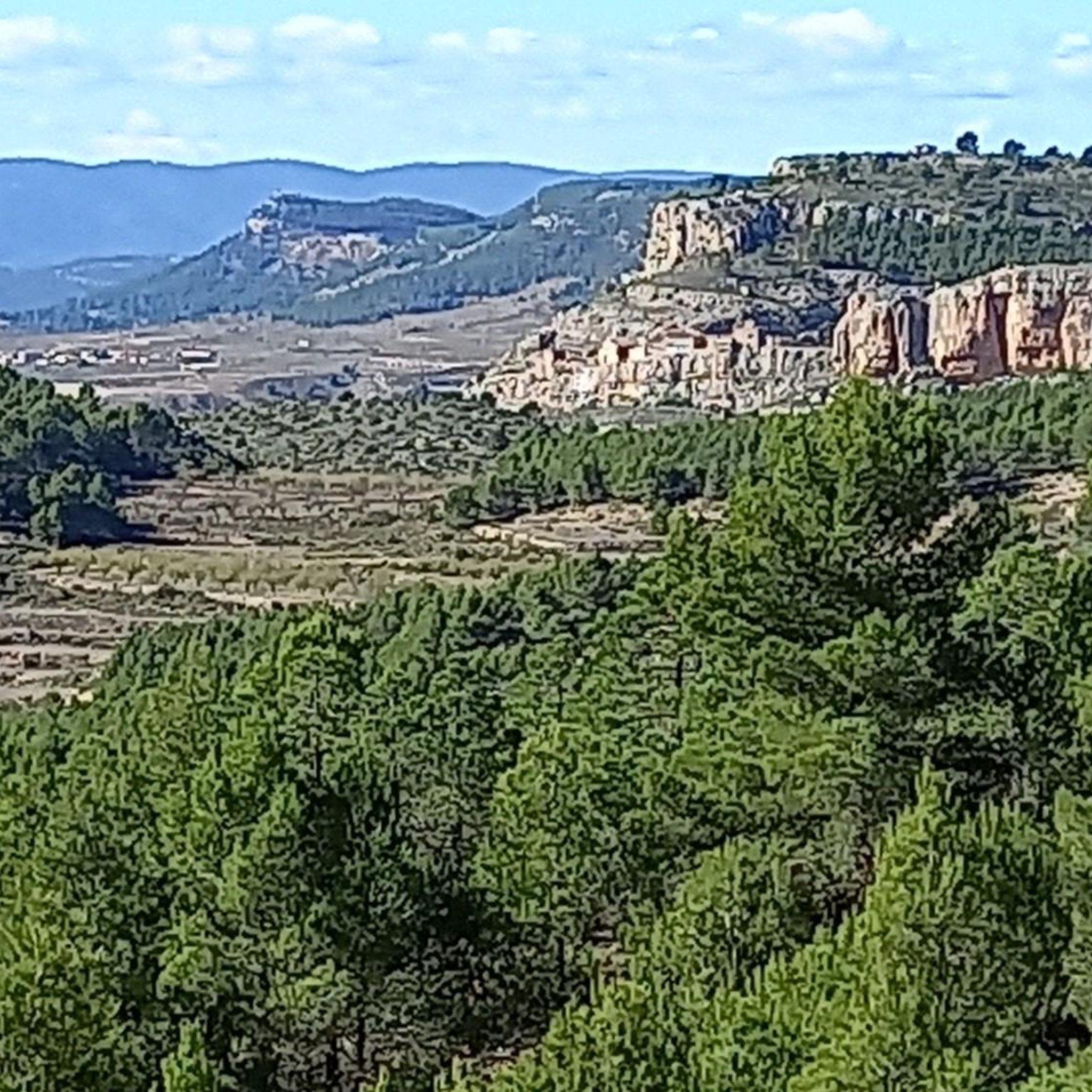
From here you have beautiful views of the Benagéber reservoir and its dam, which retains the waters of the Turia. It has become an environment frequented in summer by those who seek to cool off in its waters surrounded by nature.
1
0

One of the most beautiful towns in the area, as you can see the center sunken into the valley where the Río Túria flows.
0
0
Frequently Asked Questions
How many road cycling routes are available around La Yesa?
There are over 10 road cycling routes documented around La Yesa on komoot, offering diverse terrain for cyclists of varying abilities. These include both moderate and difficult options.
What kind of terrain can I expect on road cycling routes in La Yesa?
Road cycling in La Yesa features predominantly mountainous terrain with significant elevation changes. You'll encounter routes winding through ancient forests, past natural springs, and offering panoramic views from elevated points. The region's altitude of 1040 meters ensures engaging climbs and descents.
Are there challenging climbs for experienced road cyclists in La Yesa?
Yes, La Yesa is known for its challenging climbs. Many routes feature substantial elevation gain, such as the Source of the Arcos River – Arcos de las Salinas loop from Andilla, which includes over 2,300 meters of climbing. Another demanding option is the Dirt track with views – Ademuz loop from Corcolilla, with over 2,100 meters of ascent.
What natural features can I see along the road cycling routes in La Yesa?
The routes in La Yesa offer stunning natural beauty. You can cycle past ancient forests like 'El Carrascal' with its millennia-old kermes oaks, and enjoy views of monumental trees such as the 'Carrasca Tumbada'. The region also features natural springs and waterfalls, adding to the picturesque scenery.
Are there any notable viewpoints or panoramic spots along the cycling routes?
Absolutely. The mountainous terrain around La Yesa provides numerous panoramic viewpoints. Peaks like Alto Negro, Alto de la Márgenes, and El Castellar offer formidable views. From La Ceja peak, it's even possible to see the sea in the distance on clear days, providing breathtaking backdrops for your ride.
What historical or cultural attractions can I explore near the cycling routes?
Beyond the natural landscapes, La Yesa offers several historical and cultural points of interest. You can visit historic chapels like San Juan, San Roque, and San Sebastián. Trails also lead to ancient Iberian settlements such as El Castellar, where you can see ancient walls and tower remains. The village of La Yesa itself features the 17th-century Nuestra Señora de los Ángeles Parish Church.
What do other road cyclists say about the routes in La Yesa?
The road cycling routes in La Yesa are highly rated by the komoot community, with an average score of 4.0 stars. Over 200 road cyclists have used komoot to explore the varied terrain, often praising the challenging climbs and the stunning natural landscapes.
Are there any routes that offer views of reservoirs or other water bodies?
Yes, some routes provide scenic views of water bodies. For instance, the Views of the Benagéber Reservoir – Azud de Tuéjar loop from Corcolilla offers glimpses of the Benagéber Reservoir and passes by the Azud de Tuéjar, a notable river feature.
What is the best time of year for road cycling in La Yesa?
Given its mountainous inland location, La Yesa offers pleasant cycling conditions during spring and autumn when temperatures are milder. Summer can be warm, especially during midday, while winter might bring colder temperatures and potential for snow at higher elevations. Always check local weather forecasts before heading out.
Are there any moderate road cycling routes suitable for less experienced riders?
Yes, while many routes are challenging, there are moderate options available. The Arcos de las Salinas – Torrijas loop from Arcos de las Salinas is a moderate trail that covers about 51 km and can be completed in under 2.5 hours, offering a good balance of distance and elevation.
Can I find routes that include famous climbs or landmarks?
Certainly. One notable route is the Climb to Picón del Buitre - from Arcos de las Salinas, which takes you towards the Javalambre Astrophysical Observatory (Pico del Buitre), a significant landmark in the region known for its challenging ascent and panoramic views.
Most popular attractions around La Yesa

Get inspired with the komoot mobile app


Explore more
Browse the best Road cycling routes in other regions.
