The best running trails around Aland-Elbe-Niederung
4.7
(46)
790
runners
79
runs
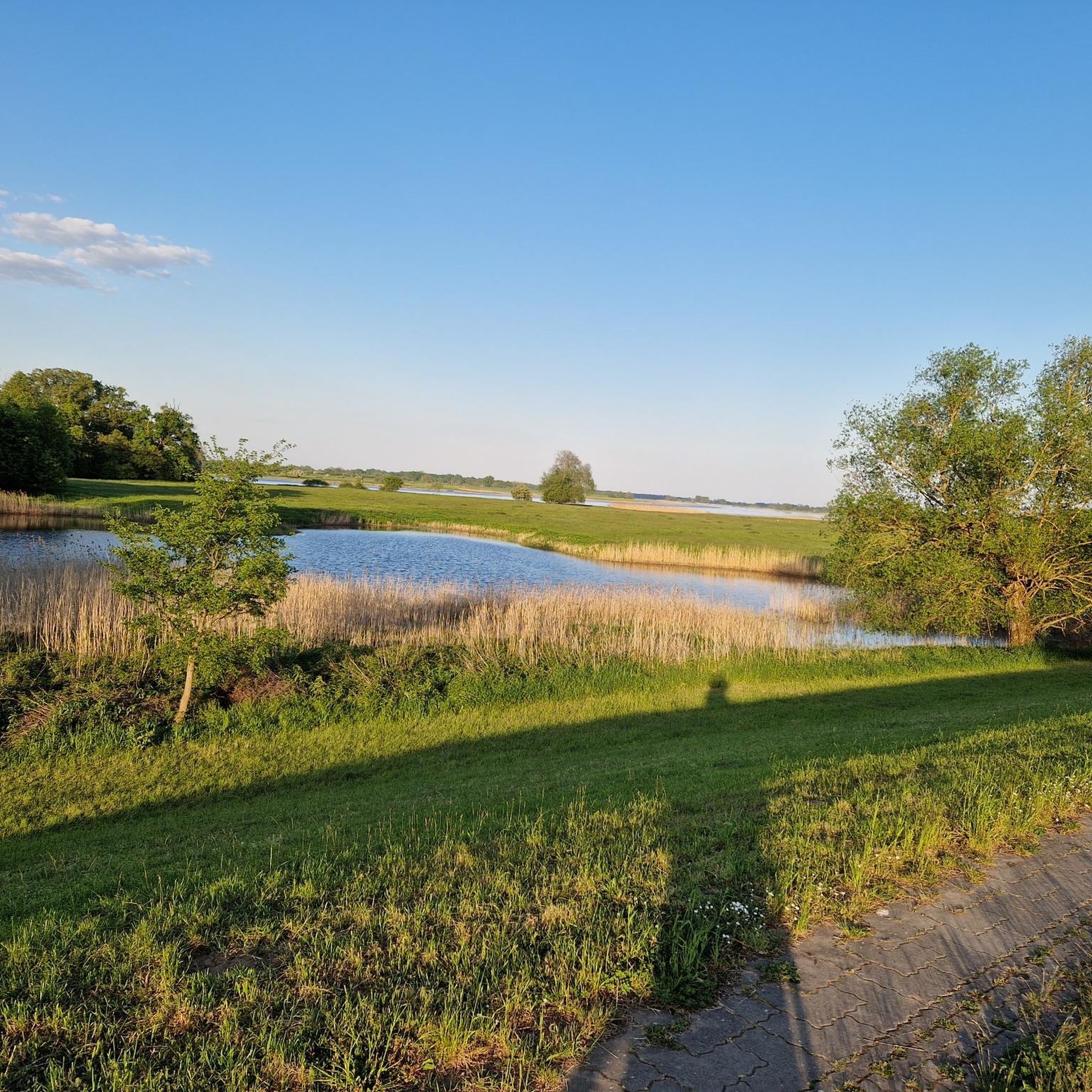
Jogging around Aland-Elbe-Niederung offers an opportunity to explore a nature reserve characterized by its diverse and well-preserved natural landscapes. The region features extensive river valleys and floodplains, providing generally flat and expansive routes ideal for running. Joggers can also find paths winding through wetlands, meadows, and well-preserved hardwood floodplain forests, offering varied terrain and natural scenery. This mosaic of habitats across the Elbe and Aland river valleys makes for a dynamic and engaging running experience.
Best jogging routes around Aland-Elbe-Niederung
…Last updated: July 11, 2026
4.5
(2)
5
runners
7.37km
00:45
10m
10m
Moderate run. Good fitness required. Mostly paved surfaces. Suitable for all skill levels.
4.0
(1)
5
runners
Moderate run. Good fitness required. Mostly paved surfaces. Suitable for all skill levels.

Sign up for free
2
runners
Moderate run. Good fitness required. Mostly paved surfaces. Suitable for all skill levels.
2
runners
Moderate run. Good fitness required. Mostly paved surfaces. Suitable for all skill levels.
5.0
(3)
51
runners
Moderate run. Good fitness required. Mostly paved surfaces. Suitable for all skill levels.
Get access to more routes and recommendations from other explorers.
Sign up for free
Already have an account?
Our route recommendations are based on thousands of hikes, rides, and runs completed by other people on komoot.
Start today with a free account
Your next adventure awaits.
Login or Signup
Popular around Aland-Elbe-Niederung
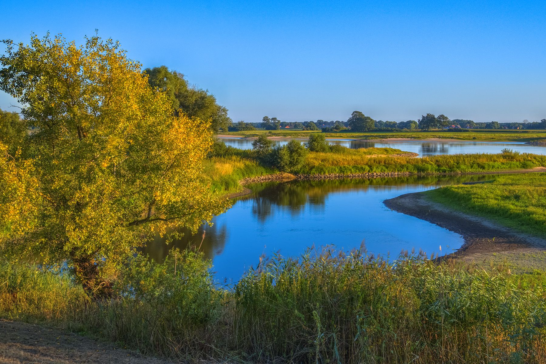
Discover the Green Belt in the Elbe-Altmark-Wendland with BUND

Lowest to Highest (L2H) in Germany

Discover the nature along the “Greenbelt” together with the BUND
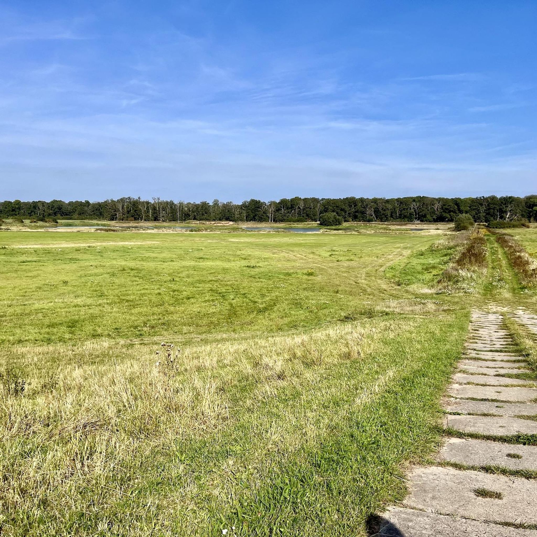
Cycling around Aland-Elbe-Niederung
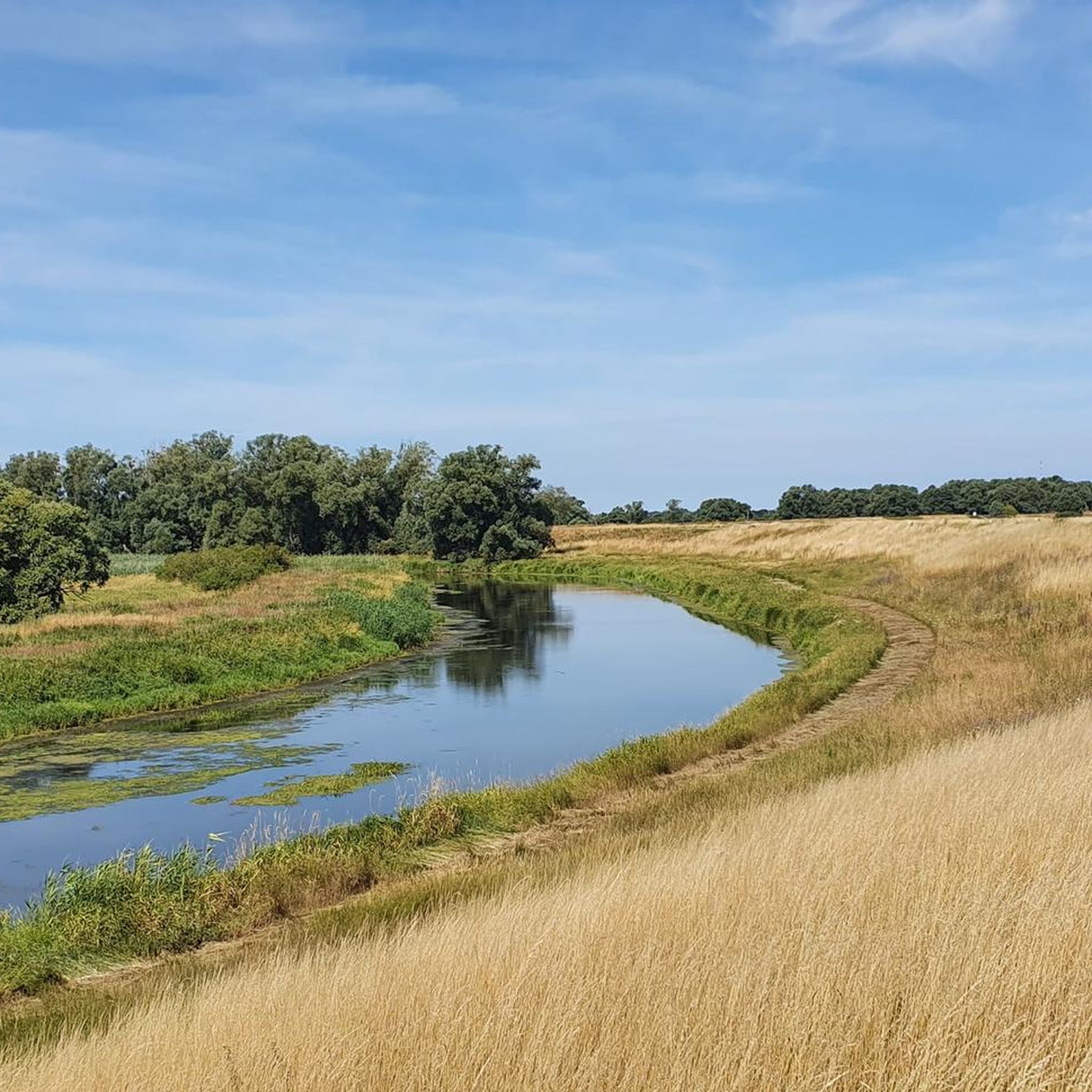
Hiking around Aland-Elbe-Niederung
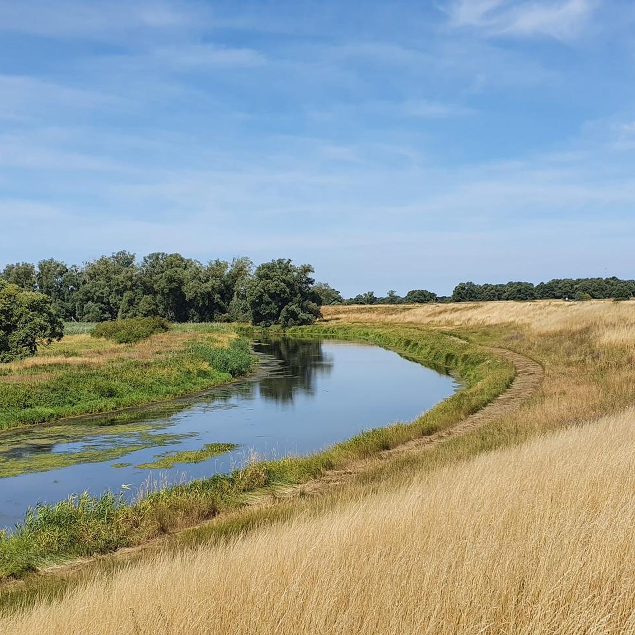
Road Cycling Routes around Aland-Elbe-Niederung
MTB Trails around Aland-Elbe-Niederung
Gravel biking around Aland-Elbe-Niederung


Tips from the Community

The Wittenberg Elbe riverbank promenade has transformed from an industrial harbor area into a modern recreational spot. It connects historic buildings, like the renovated main customs office, with green spaces and offers views of the Elbe. After extensive redesign, it now shapes the city's new image as the "Gateway to the Elbe Valley". The area around the promenade was closely linked to shipping and industrial development (nearby sewing machine factory). A striking building on the promenade, which was comprehensively renovated after a long period of vacancy and decay. As part of urban development, the riverbank has been upgraded and now serves as a promenade for locals and tourists.
3
0
The new B189 bridge near Wittenberge is part of the A14 motorway expansion and the dilapidated old bridge to the north (built in 1978, the longest GDR road bridge). The new construction, which is expected to take traffic from mid-2026, is being built as part of a major infrastructure project to modernize the Elbe crossing and replace the old structure.
1
0

The Old Main Customs Office in Wittenberge dates back to the 19th century and served to monitor the flow of goods across the Elbe River. After years of disuse, it was renovated and converted into modern apartments, while preserving its historical appearance. The building remains a testament to Wittenberge's economic importance in Elbe River trade.
0
0

It provides plenty of shade in the summer, and has had top-quality asphalt for two years. The main road is not an alternative.
2
0

Normally, this Elbe crossing should be avoided by bike. Currently, however, there's almost no alternative. My breathtaking experience was that ALL trucks on the federal highway maintained a considerable distance or waited. Crossing the railway bridge is expected to be possible again from fall 2025.
1
0

A bronze sculpture group "Time Travel"
3
1

Currently life-threatening for cyclists, as there is a major construction site without a dedicated cycle path (October 2024). The alternative route over the railway bridge is also closed. However, there is no other way to use this dangerous route within 20 km. So you have to expose yourself to the danger here. If possible, take this problem into account when planning your tour.
1
0

Great photo opportunities, beautiful quiet area
0
0
Frequently Asked Questions
How many running routes are available in the Aland-Elbe-Niederung region?
The Aland-Elbe-Niederung offers a wide selection of running routes, with over 80 trails available for you to explore. These range from easy paths to more challenging runs, catering to various fitness levels.
What makes jogging in Aland-Elbe-Niederung unique?
Jogging in Aland-Elbe-Niederung provides a unique experience through a diverse nature reserve. You'll run through extensive river valleys, floodplains, wetlands, and well-preserved hardwood floodplain forests. The landscape is characterized by its tranquil riverine scenery and rich biodiversity, offering a dynamic and engaging natural environment.
Are there easy running routes suitable for beginners in Aland-Elbe-Niederung?
Yes, Aland-Elbe-Niederung has several easy running routes perfect for beginners or those looking for a relaxed run. The terrain is generally flat, especially along the river valleys and meadows. While we don't have a specific beginner route to highlight here, you can find 6 easy routes in the area that are ideal for a gentle introduction to running in nature.
Can I find longer running trails for endurance training in this region?
Absolutely. For those seeking longer runs or endurance training, Aland-Elbe-Niederung offers a good selection of routes. There are 13 difficult routes and 64 moderate routes, many of which cover significant distances. For example, the Elbe Promenade Wittenberge – Elbe Bridge, Wittenberge loop from Wittenberge is a moderate 13.9 km (8.6 miles) trail, perfect for a longer workout.
Are there circular running routes in Aland-Elbe-Niederung?
Yes, many of the running routes in Aland-Elbe-Niederung are designed as circular loops, allowing you to start and finish at the same point. A popular example is the Running loop from Wahrenberg, a 7 km (4.6 miles) moderate trail that takes about 45 minutes to complete.
What kind of terrain can I expect on the jogging paths?
The terrain in Aland-Elbe-Niederung is varied and scenic. You'll encounter generally flat and expansive routes through river valleys and floodplains, as well as paths winding through wetlands, meadows, and shaded hardwood floodplain forests. This mosaic of habitats ensures a diverse running surface and constantly changing views.
What can I see along the running routes in Aland-Elbe-Niederung?
Along the running routes, you can enjoy various natural and man-made sights. Keep an eye out for the rich birdlife, including sea eagles and ospreys, especially near river confluences. You might also spot beavers and otters. Notable landmarks include the Aland Bridge near Pollitz and the Aulosen Observation Tower, offering great views of the landscape.
Is parking available near the running trails?
While specific parking locations for every trail are not detailed, the Aland-Elbe-Niederung is well-equipped for visitors. Many trailheads and popular starting points, especially near villages like Wittenberge or Wahrenberg, typically offer designated parking areas for outdoor enthusiasts. It's advisable to check local maps or route descriptions for specific parking information.
Can I bring my dog on the running trails in Aland-Elbe-Niederung?
Generally, dogs are welcome on trails in nature reserves like Aland-Elbe-Niederung, provided they are kept on a leash to protect wildlife and ensure the safety of other visitors. Always respect local signage and regulations regarding pets in specific areas of the reserve.
What do other runners say about the trails in Aland-Elbe-Niederung?
The running routes in Aland-Elbe-Niederung are highly regarded by the komoot community, boasting an impressive average rating of 4.7 stars from over 40 reviews. Runners often praise the tranquil riverine landscapes, the varied natural habitats, and the well-preserved environment that makes for a refreshing and engaging experience.
Are there any running routes that offer a mix of urban and natural scenery?
Yes, some routes offer a blend of natural beauty and glimpses of nearby towns. For instance, the Old Oil Mill Wittenberge – Wittenberge Town Hall loop from Wittenberge is a moderate 12 km (7.5 miles) path that explores the urban edge of Wittenberge alongside the Elbe, providing a unique mix of town and river scenery.
Are the running trails in Aland-Elbe-Niederung suitable for families?
Many of the flatter and easier routes, particularly those along the river valleys and meadows, are suitable for families. The diverse and well-preserved natural landscapes offer an excellent opportunity for children to enjoy nature while jogging or walking. Always consider the distance and difficulty grade when choosing a route for your family.
Most popular routes around Aland-Elbe-Niederung
Most popular attractions around Aland-Elbe-Niederung

Get inspired with the komoot mobile app


Explore more
Browse the best Running Trails & Routes in other regions.
