The best walks and hikes around Aria
4.6
(322)
2,950
hikers
134
hikes
Hiking around Aria reveals a landscape shaped by dense forests, prominent viewpoints, and historic pilgrimage routes. The region features a mix of rolling hills and more challenging ascents, particularly along paths like the Pyrenean Way. Hikers can explore ancient woodlands and open areas offering expansive vistas.
Best hiking trails around Aria
- The most popular hiking route is Zamariain Viewpoint Trail, a moderate 4.2 miles (6.7 km) trail that takes 2 hours 11 minutes to complete. This path offers panoramic…
Last updated: August 13, 2026
4.7
(22)
206
hikers
6.74km
02:11
310m
310m
Moderate hike. Good fitness required. Easily-accessible paths. Suitable for all skill levels.
4.7
(13)
83
hikers
4.54km
01:13
50m
50m
Easy hike. Great for any fitness level. Easily-accessible paths. Suitable for all skill levels.

Sign up for free
4.8
(11)
77
hikers
Hard hike. Very good fitness required. Mostly accessible paths. Sure-footedness required.
3
hikers
Moderate hike. Good fitness required. Easily-accessible paths. Suitable for all skill levels.
4.5
(15)
70
hikers
Moderate hike. Good fitness required. Mostly accessible paths. Sure-footedness required.
Get access to more routes and recommendations from other explorers.
Sign up for free
Already have an account?
Our route recommendations are based on thousands of hikes, rides, and runs completed by other people on komoot.
Start today with a free account
Your next adventure awaits.
Login or Signup

Tips from the Community

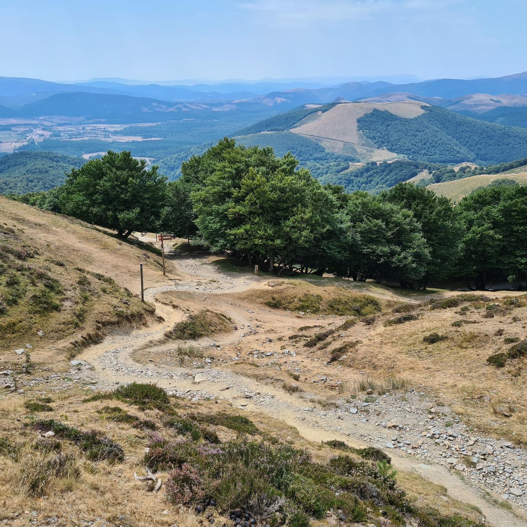
The Lepoeder Pass (Col de Lepoeder), standing at roughly 1,430 meters, is the highest point and the ultimate climax of the Route of Napoleon on the Camino de Santiago. Reaching this viewpoint is one of the most physically demanding but deeply rewarding moments of the entire trek from France into Spain. Because it is the highest saddle on the route, it is notoriously windy and exposed to the elements. Even on a sunny day, you will likely want to pull on a windbreaker while you stop to take your photos. This viewpoint is a critical junction. From here, you must choose your path down to Roncesvalles: the steep, direct trail that plunges straight through the beautiful but tough woodland, or the slightly longer, gentler paved route that takes you via the Ibañeta Pass.
1
0
The Lepoeder Pass is a magnificent, unforgettable milestone. The Lepoeder Pass (Col de Lepoeder), standing at roughly 1,430 meters, is the highest point and the ultimate climax of the Route of Napoleon on the Camino de Santiago. Reaching this viewpoint is one of the most physically demanding but deeply rewarding moments of the entire trek from France into Spain. Because it is the highest saddle on the route, it is notoriously windy and exposed to the elements. Even on a sunny day, you will likely want to pull on a windbreaker while you stop to take your photos. This viewpoint is a critical junction. From here, you must choose your path down to Roncesvalles: the steep, direct trail that plunges straight through the beautiful but tough woodland, or the slightly longer, gentler paved route that takes you via the Ibañeta Pass.
1
0
The Izandorre Bivouac (Refugio de Izandorre) is a small but incredibly important stone shelter located high up on the Route of Napoleon, situated on the challenging stretch between Saint-Jean-Pied-de-Port and Roncesvalles. While it isn't a place you should plan to spend the night under normal circumstances, it is a literal lifesaver for those crossing the Pyrenees in bad weather. Here is what you should know. This is a very spartan, basic hut designed specifically to provide immediate shelter from the sudden snowstorms, freezing winds, or blinding fog that can unexpectedly roll into this high-altitude pass. SOS Capabilities: Because this section of the trail can be dangerous in poor conditions, the shelter is equipped with an emergency communication system so hikers can contact mountain rescue if things go wrong.
1
0
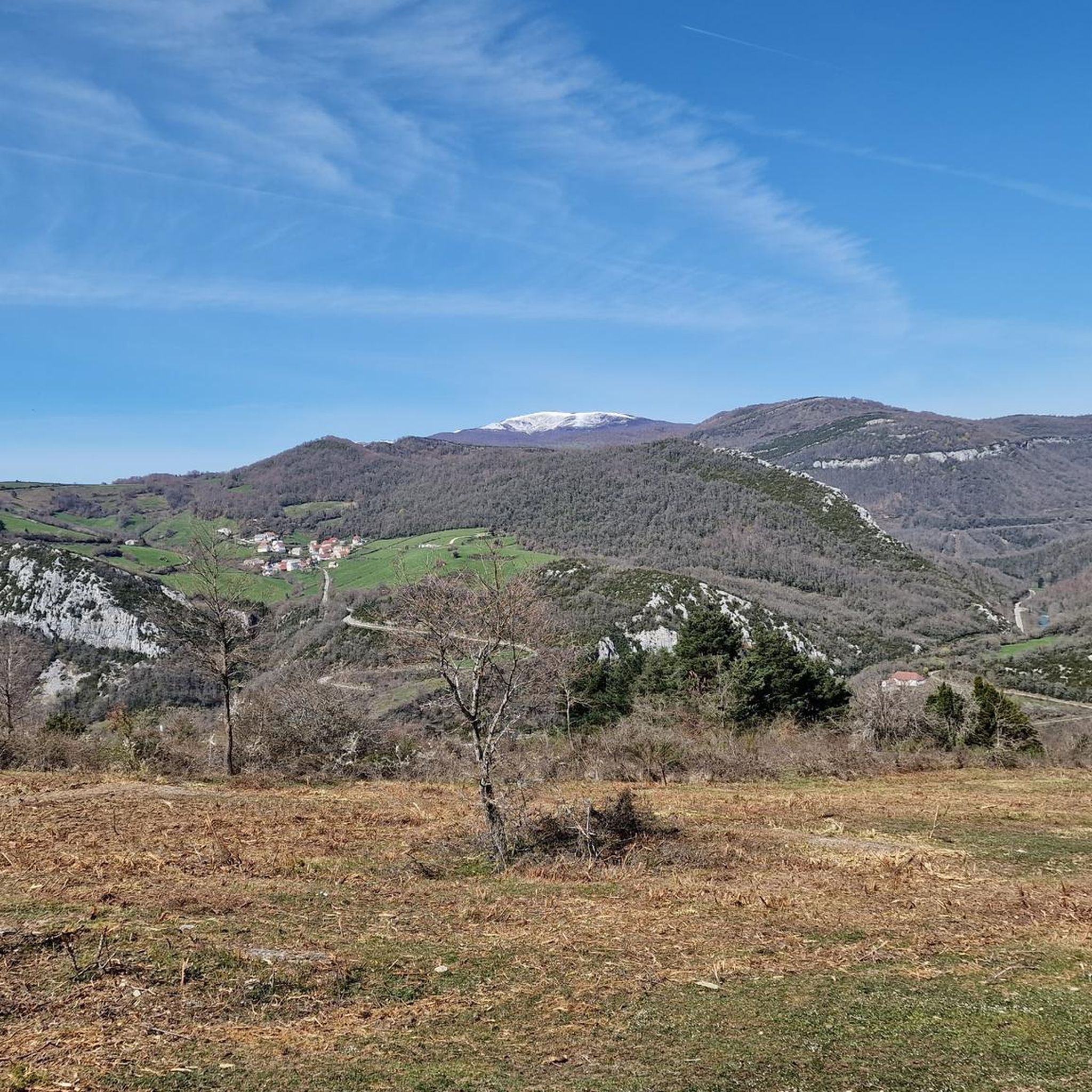
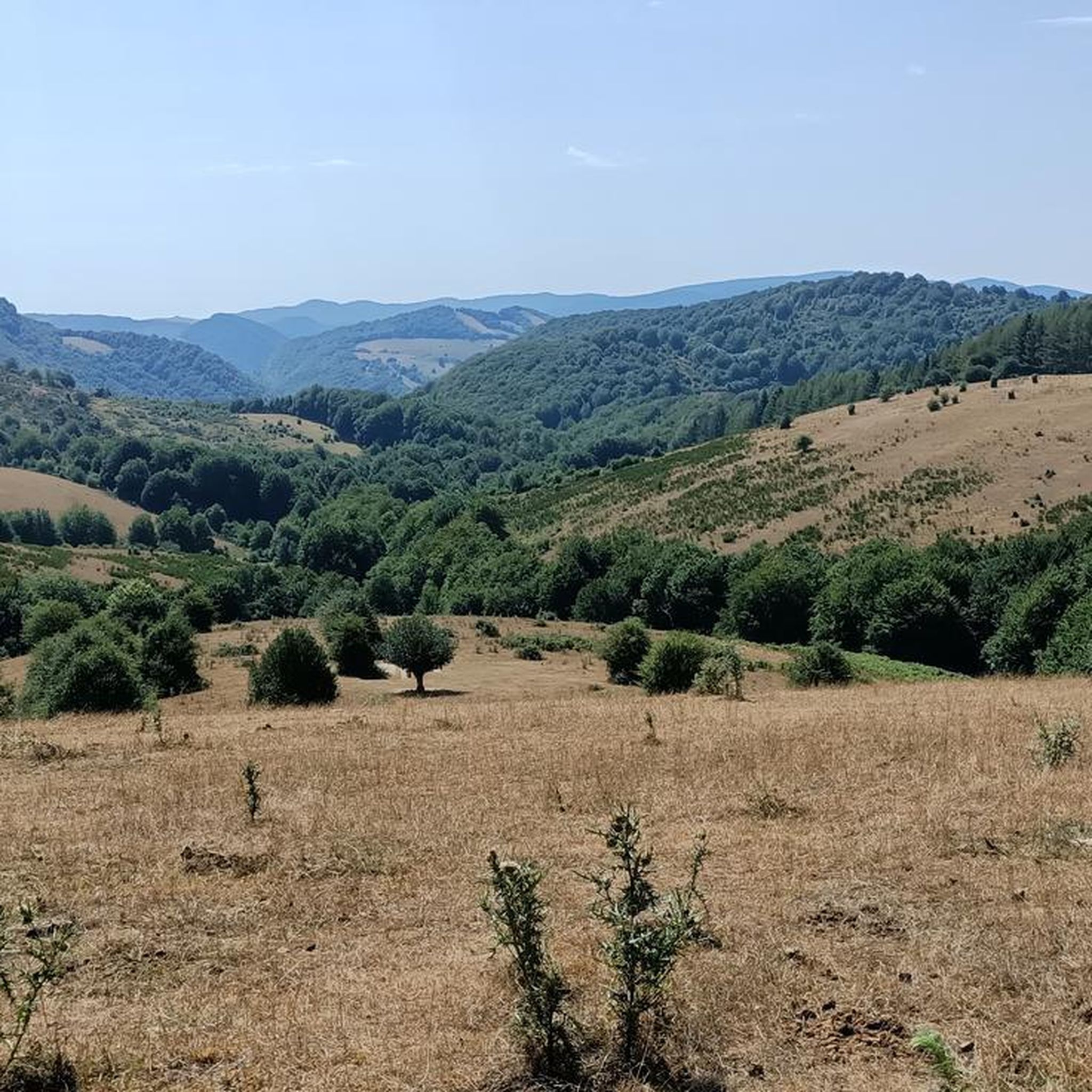
The views of the Pyrenees surrounding Roncesvalles are nothing short of spectacular and serve as a massive visual reward for anyone making the tough crossing from France. As you transition into the Navarre region, the harsh, rocky crags of the high Pyrenees give way to something softer but equally grand. The mountains here are characterized by sweeping, incredibly lush green ridges and deep valleys blanketed in massive, ancient beech forests.
1
0
The Ibañeta Chapel is a moving and highly anticipated milestone for anyone walking the Camino de Santiago. After the grueling, steep ascent from the French side of the Pyrenees, crossing the border into Spain, and finally beginning your descent, this small chapel and the large stone cross beside it are a spectacular sight. The First Spanish Waypoint: It serves as the very first visible intermediate destination on the Spanish side of the mountains, signaling that the hardest part of the climb is officially behind you. Once you reach this point, you are almost done! Just a short walk further down the trail lies the day's final stage destination: the mighty and magnificent monastery complex of Roncesvalles.
1
0

This place is full of trash, very dirty, a disgrace!!! The Basque mountains are not trash cans, please respect them. Too many people are behaving badly towards the pastures. Please take your trash back with you; it's disgusting and disrespectful.
1
0

This is the highest point on the Camino over the Pyrenees
1
0

The water tastes good - refill the water bottle!
1
3
Frequently Asked Questions
How many hiking trails are available around Aria?
Aria offers a diverse network of over 120 hiking trails. These routes cater to various fitness levels, with options ranging from easy strolls through forests to challenging ascents along historic paths.
Are there any easy, family-friendly hikes in Aria?
Yes, Aria has over 25 easy routes perfect for families. A great option is the Basajaunberro Forest - circular from Orreaga/Roncesvalles, an easy 4.5 km path winding through dense woodland, ideal for a shorter outing with children.
What kind of terrain can I expect on hikes in Aria?
Hiking around Aria features a varied landscape, including dense ancient forests, rolling hills, and more challenging ascents. You'll find paths offering expansive panoramic views, especially along routes like the Pyrenean Way, and sections of the historic Camino de Santiago.
Are there any circular walks available in Aria?
Yes, Aria offers several circular walks. The Basajaunberro Forest - circular from Orreaga/Roncesvalles is an excellent easy option. For a more challenging loop, consider the Lepoeder Pass Viewpoint – Izandorre Emergency Shelter loop from Orreaga / Roncesvalles, which covers nearly 27 km.
What are some notable landmarks or points of interest to see while hiking in Aria?
Hikers in Aria can explore several interesting landmarks. Along the routes, you might encounter the historic Roland Fountain, or pass through significant mountain passes like Ibañeta Pass. For those interested in ancient sites, the Stone Circle at Col d'Orgambide is also nearby.
What do other hikers enjoy most about hiking in Aria?
The hiking trails in Aria are highly rated by the komoot community, with an average score of 4.6 stars from over 400 reviews. Hikers frequently praise the region's diverse terrain, from quiet woodlands to prominent viewpoints, and the historical significance of paths like the Camino de Santiago.
Are there any challenging hikes for experienced hikers in Aria?
Absolutely. Aria features 18 difficult routes for experienced hikers. A notable challenging option is the Orreaga/Roncesvalles to Fuente de Roldan along the Camino de Santiago Francés, a 16.8 km trail that takes over 5 hours to complete and offers significant elevation changes.
Are there any hikes that offer panoramic views?
Yes, many trails in Aria provide expansive vistas. The Zamariain Viewpoint Trail is a moderate 6.7 km route specifically known for its panoramic views of the surrounding landscape.
What is the best time of year for hiking in Aria?
While hiking is possible year-round, the spring and autumn months generally offer the most pleasant conditions for hiking in Aria, with mild temperatures and vibrant natural scenery. Summer can be warm, especially at lower elevations, while winter may bring snow to higher paths.
Are there any specific trails that follow the Camino de Santiago?
Yes, Aria is home to sections of the historic Camino de Santiago. The Orreaga/Roncesvalles to Fuente de Roldan along the Camino de Santiago Francés is a significant trail that allows hikers to experience this ancient pilgrimage route.
Are there any trails that pass through protected natural areas?
Yes, some routes in Aria traverse protected natural zones. For instance, the Cliffs of Martxate via the Pyrenean Path (GR 11) passes through the ZEPA-ZEC Roncesvalles-Sierra de Irati, an area recognized for its ecological importance.
Most popular attractions around Aria

Get inspired with the komoot mobile app


Explore more
Browse the best Hikes in other regions.
