Natural Park Dithmarscher Eidervorland mit Watt
Natural Park Dithmarscher Eidervorland mit Watt
The best running trails around Natural Park Dithmarscher Eidervorland mit Watt
4.5
(122)
1,071
runners
111
runs
Jogging routes around Natural Park Dithmarscher Eidervorland mit Watt are characterized by predominantly flat terrain, making the region highly suitable for running. The landscape features extensive dyke systems, the unique Wadden Sea, and diverse moorland areas. The Eider River and North Sea provide a coastal influence, contributing to the area's distinct natural environment. This combination of features offers varied backdrops for running, from open coastal paths to more sheltered inland trails.
Best jogging routes around Natural Park Dithmarscher Eidervorland mit Watt
- The most popular jogging route is Eider Barrage – Katinger Watt Nature Reserve loop from Fischbistro Katinger Watt 1, a 7.8 miles (12.5 km) trail that takes 1 hour 26 minutes to complete. This moderate route offers views of the Eider Barrage and the Katinger Watt Nature Reserve.
- Another top favourite among local runners is Historic Harbour of Tönning – Eider Barrage (Eider-Sperrwerk) loop from Fischbistro Katinger Watt 1, a difficult 19.2 miles (30.9 km) path. This longer route follows the Eider dike, providing expansive views of the river and surrounding flatlands.
- Local runners also love the Historic Harbour of Tönning – Tönning loop from Tönning, a 4.2 miles (6.7 km) trail leading through the dyke landscape and along the river, often completed in about 42 minutes.
- Jogging around Natural Park Dithmarscher Eidervorland mit Watt is defined by coastal dykes, the Wadden Sea, and unique moorland areas. The network of running routes offers options for different ability levels, from easy jogs to more challenging long-distance runs.
- The routes in Natural Park Dithmarscher Eidervorland mit Watt are highly rated by the komoot community with an average score of 4.5 stars from over 90 reviews. More than 1000 runners have used komoot to explore Natural Park Dithmarscher Eidervorland mit Watt's varied terrain.
Last updated: October 18, 2026
3.0
(1)
3
runners
Moderate run. Good fitness required. Mostly paved surfaces. Suitable for all skill levels.
5.0
(1)
7
runners
Hard run. Very good fitness required. Mostly paved surfaces. Suitable for all skill levels.

4.3
(6)
50
runners
6.77km
00:43
20m
20m
Moderate run. Good fitness required. Mostly paved surfaces. Suitable for all skill levels.
5.0
(2)
23
runners
10.3km
01:04
10m
10m
Moderate run. Good fitness required. Mostly paved surfaces. Suitable for all skill levels.
4.5
(2)
20
runners
5.95km
00:38
10m
10m
Moderate run. Good fitness required. Mostly paved surfaces. Suitable for all skill levels.
Get access to more routes and recommendations from other explorers.
Already have an account?
Our route recommendations are based on thousands of hikes, rides, and runs completed by other people on komoot.
Start today with a free account
Your next adventure awaits.
Popular around Natural Park Dithmarscher Eidervorland mit Watt
Tips from the Community

Tönning on Eiderstedt In the old town, pretty gabled houses frame the market square, over 400 years old, while in the harbour, sports and sailing boats lie at anchor⚓️⛵️🛥. Strolling along the quay or in one of the cosy restaurants, you can enjoy the relaxed atmosphere with a view of the historic warehouse located right on the harbour. The imposing building formerly served as a storage for shipping⚓️. Since 1965, the Tönning warehouse has been a listed monument, has been extensively and comprehensively renovated and is used as an event and exhibition space. Peace and serenity characterise this relaxing holiday resort⚓️🌊💙.
1
0

Through the Stöpe you reach the historic harbor of Tönning (1613), once a transshipment point for Eiderstedt's agricultural trade. Today, service ships of the Tönning Waterways and Shipping Authority and many pleasure boats are moored here. Worth seeing: Skipperhuset Tönning and Tönninger Packhaus (during Christmas time "the world's longest Advent calendar"). Promenade with North Sea gastronomy. https://www.nordseetourismus.de/historischer-hafen-toenning Incidentally, there are no buoys in shipping... they are called 'Tonnen' and are fairway markers.
3
0
Through the Stöpe you reach the historic harbor of Tönning (1613), once a transshipment point for Eiderstedt's agricultural trade. Today, service ships of the Tönning Waterways and Shipping Authority and many pleasure boats are moored here. Worth seeing: Skipperhuset Tönning and Tönninger Packhaus (at Christmas time the "world's longest Advent calendar"). Promenade with North Sea gastronomy. https://www.nordseetourismus.de/historischer-hafen-toenning
2
0
Class path along the Eider
1
0
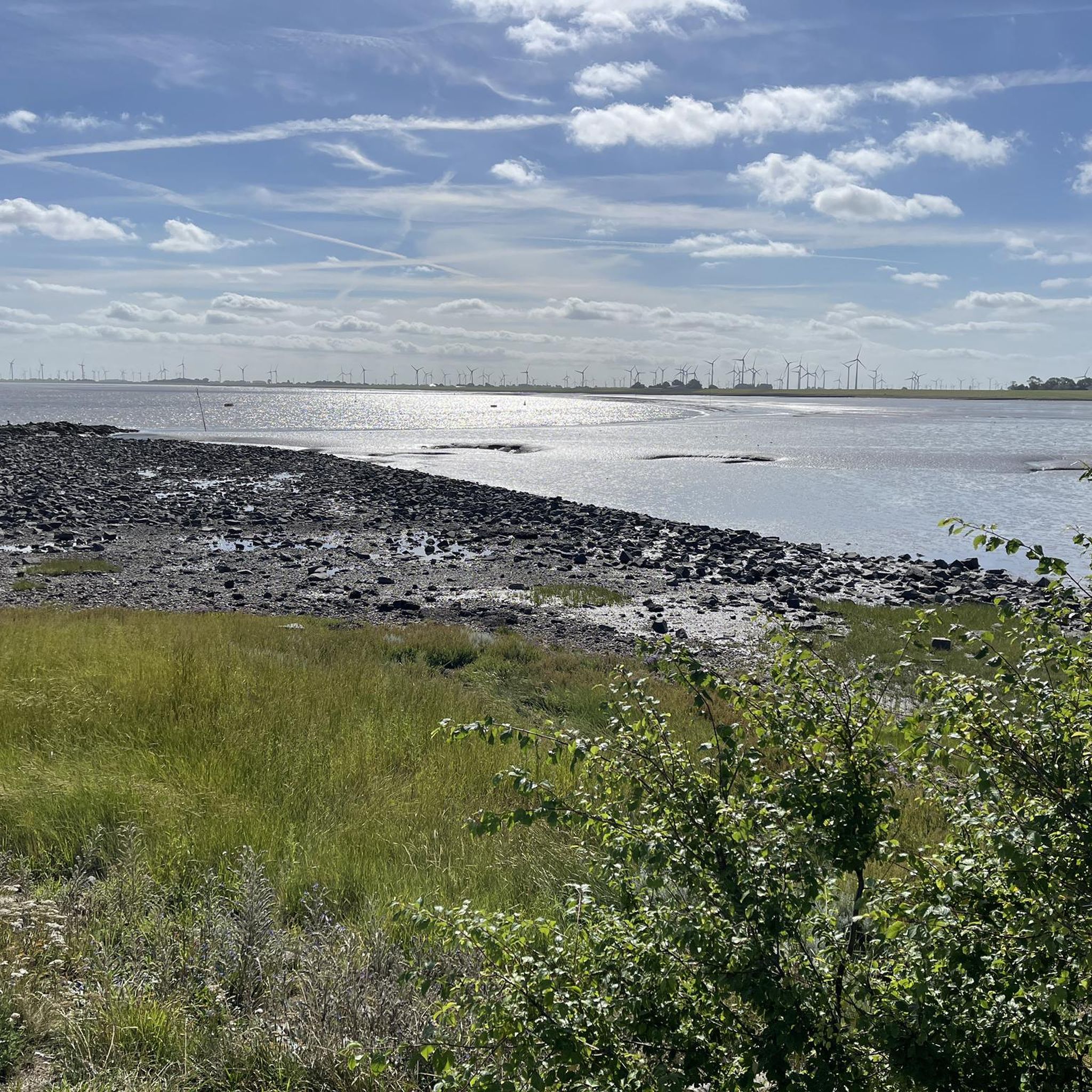
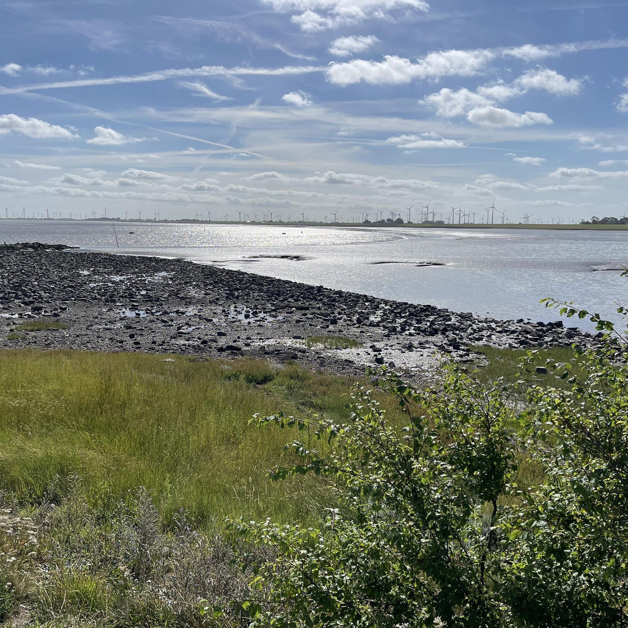
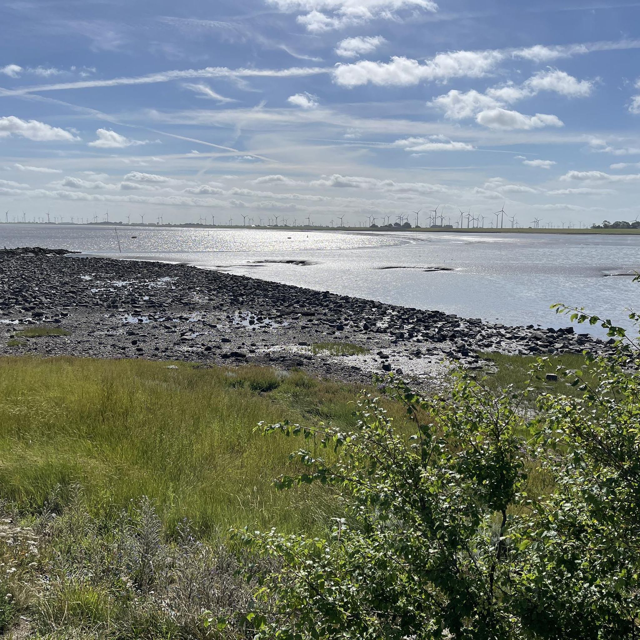
This is not the Eider estuary. It is located in the immediate vicinity of the town of Tönning (reference point). In front of the barrage, the Purrenstrom extends, an estuary funnel about 9 km long and 2 km wide in the North Sea tidal area. You are merely on the longest cycle path 🚴👍😉 in the world EuroVelo 12, North Sea Cycle Route Over approx. 7,050 kilometers through nine countries (930km in Germany) always along the North Sea, the North Sea Cycle Route is record-breaking! In this respect, this cycle path deserves a bit more than highlights ....sheep, beautiful view of the Wadden Sea, bathing spot, etc. On this cycle path, be sure to pack sunscreen, enough to drink. Shelters are available.
0
0

Small historic harbor in Tönning. Not so crowded today due to the weather. So I can't judge what it looks like in sunny weather. But I don't think there will be as much of a crowd as in Greetsiel or Carolinensiel
3
0

Port with packing house, which is illuminated as an Advent calendar in December!
2
0
Beautiful path along the Eider
0
0
Frequently Asked Questions
How many running routes are available in Natural Park Dithmarscher Eidervorland mit Watt?
There are over 100 running routes available in the Natural Park Dithmarscher Eidervorland mit Watt, offering a wide range of options for different fitness levels and preferences.
What kind of terrain can I expect on the jogging trails in this region?
The Natural Park Dithmarscher Eidervorland mit Watt is characterized by predominantly flat terrain, making it ideal for running. You'll encounter extensive dyke systems, the unique Wadden Sea landscape, and diverse moorland areas. The Eider River and North Sea provide a refreshing coastal influence, offering varied backdrops from open coastal paths to more sheltered inland trails.
Are there any easy running routes suitable for beginners or a relaxed jog?
Yes, the region offers several easy running routes. For a pleasant, shorter run, consider the Historic Harbour of Tönning – Tönning loop from Tönning, which is about 4.2 miles (6.7 km) long and takes around 40 minutes to complete.
What are some notable sights or landmarks I can see while running?
The region is rich in natural and cultural landmarks. You can run along the impressive Eider Barrage, explore the unique Wadden Sea (a UNESCO World Heritage site), or discover the diverse landscapes of the Speicherkoog Nature Reserve. The Dithmarscher Jakobsweg also offers a historical and scenic path through various landscapes.
Are there any longer or more challenging running routes for experienced runners?
Absolutely. For a more challenging run, the Historic Harbour of Tönning – Eider Barrage (Eider-Sperrwerk) loop from Fischbistro Katinger Watt 1 is a difficult 19.2 miles (30.9 km) path that follows the Eider dike, providing expansive views and a significant distance challenge.
Can I find circular running routes in Natural Park Dithmarscher Eidervorland mit Watt?
Many of the running routes in the park are designed as loops. For example, the Eider Barrage – Katinger Watt Nature Reserve loop from Fischbistro Katinger Watt 1 is a popular moderate 7.8 miles (12.5 km) circular trail offering views of the Eider Barrage and the Katinger Watt Nature Reserve.
What do other runners say about the trails in this Natural Park?
The running routes in Natural Park Dithmarscher Eidervorland mit Watt are highly rated by the komoot community, with an average score of 4.5 stars from over 80 reviews. Runners often praise the refreshing North Sea air, the flat and varied terrain, and the scenic views along the dykes and coastal areas.
Are the running routes in the Natural Park Dithmarscher Eidervorland mit Watt accessible by public transport?
While specific public transport connections vary by starting point, many towns and villages within or near the Natural Park, such as Tönning, have train or bus connections. It's advisable to check local transport schedules for the specific trailhead you plan to visit.
Is there parking available near the running trails?
Yes, parking is generally available at popular starting points for many routes. For instance, routes often begin near locations like Fischbistro Katinger Watt 1 or in towns like Tönning, where parking facilities can be found. Always check specific route details for recommended parking areas.
Are there any running routes that offer good opportunities for wildlife spotting?
The Natural Park Dithmarscher Eidervorland mit Watt is a haven for wildlife. The Wadden Sea is home to over 10,000 animal and plant species, and the Speicherkoog Nature Reserve is known for its numerous bird species, including, with luck, white-tailed eagles. Running along the dykes or through moorland areas like the Dellstedter Birkwildmoor can offer excellent opportunities for observing local fauna.
What is the best time of year to go running in Natural Park Dithmarscher Eidervorland mit Watt?
The region is suitable for running year-round, but spring and autumn offer particularly pleasant conditions with milder temperatures and beautiful natural scenery. Summer is also popular, benefiting from the refreshing North Sea air. In winter, the flat terrain can still be enjoyed, though conditions might be colder and windier.
Are there any family-friendly running paths in the Natural Park?
Given the predominantly flat terrain, many paths are suitable for families, especially those with younger children or strollers. The Stone Age Park Albersdorf, for example, offers a surrounding Stone Age forest with trails that are ideal for walks and jogs, along with a nature playground.
Can I bring my dog on the running trails?
Many trails in the Natural Park Dithmarscher Eidervorland mit Watt are dog-friendly. However, it's crucial to keep dogs on a leash, especially in nature reserves, near livestock (like the sheep maintaining the dykes), and during bird breeding seasons to protect wildlife. Always check local regulations for specific areas.
Most popular routes around Natural Park Dithmarscher Eidervorland mit Watt

Get inspired with the komoot mobile app


Explore more
Browse the best Running Trails & Routes in other regions.
