The best road cycling routes around Dellstedter Birkwildmoor
4.3
(65)
682
riders
79
rides
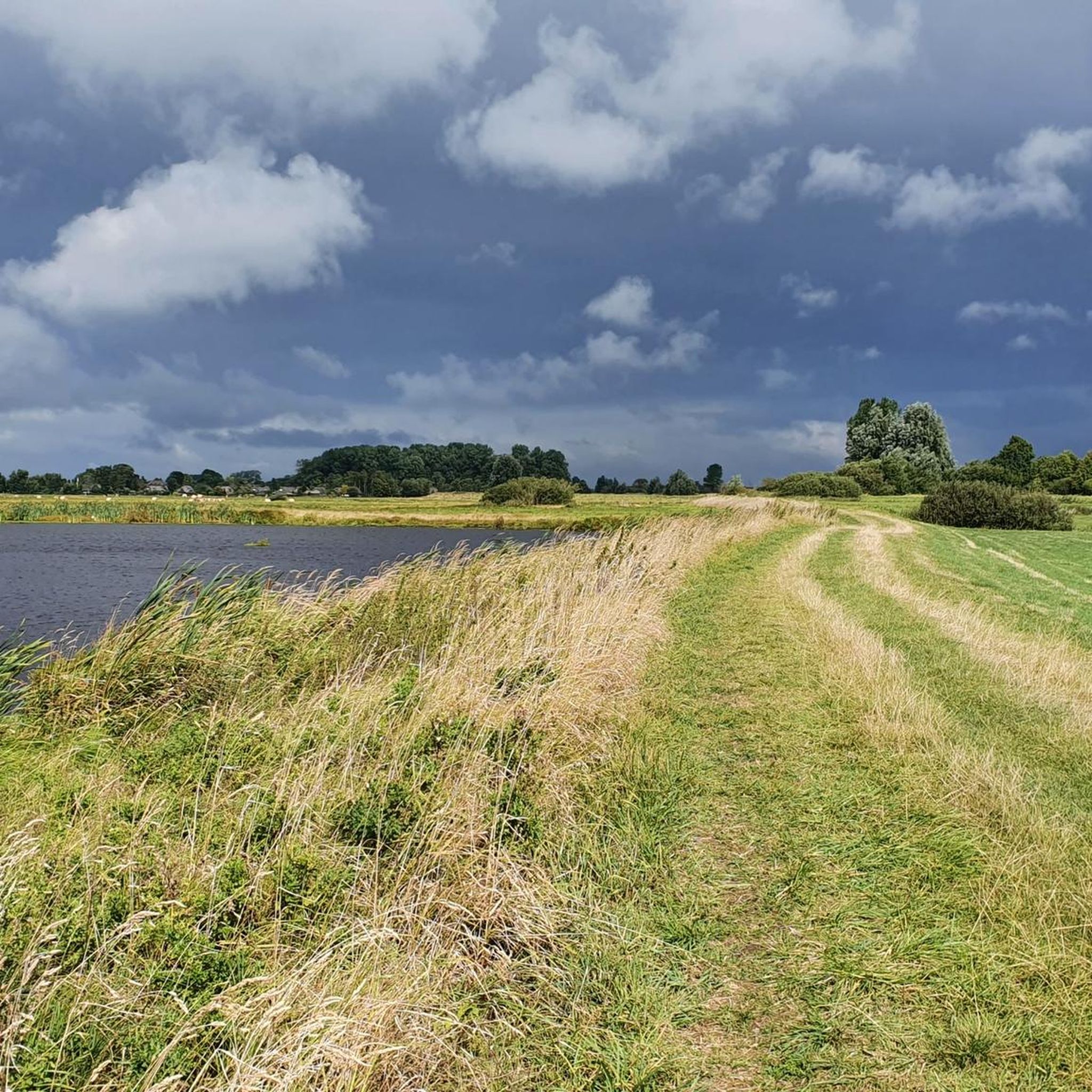
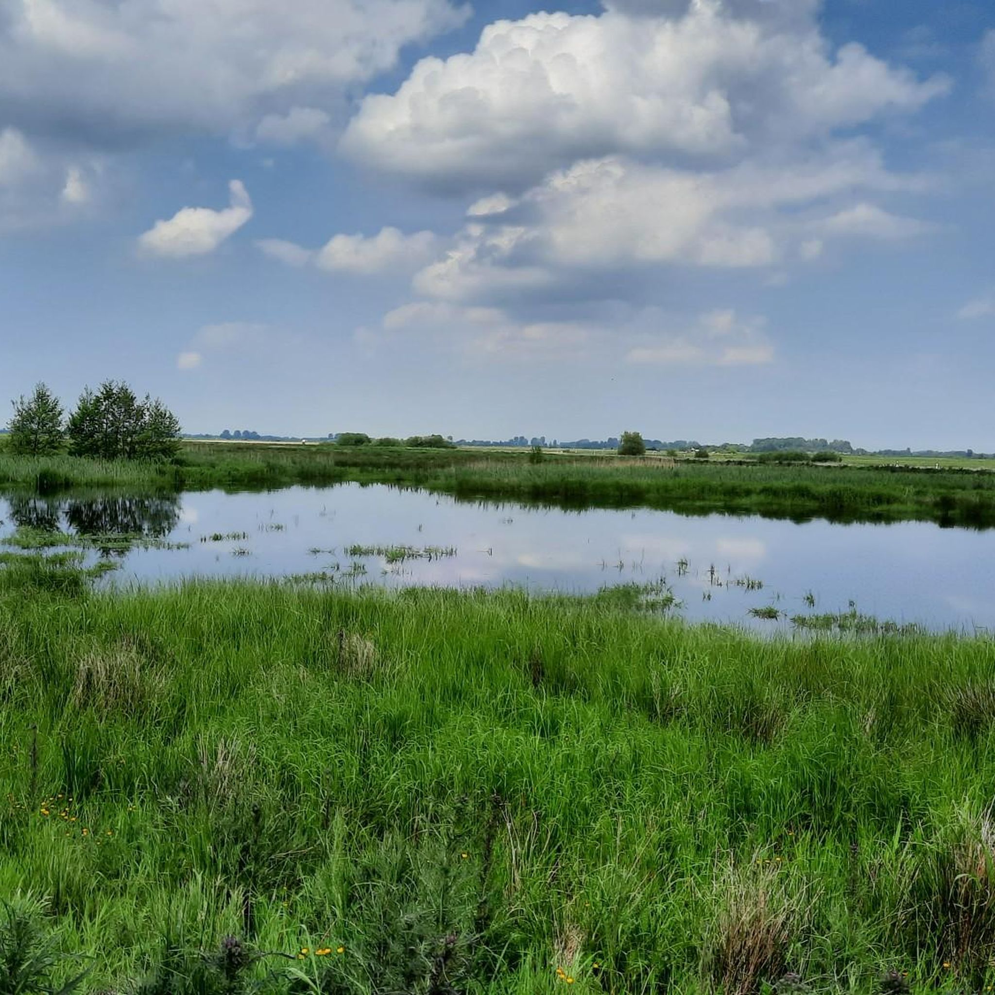
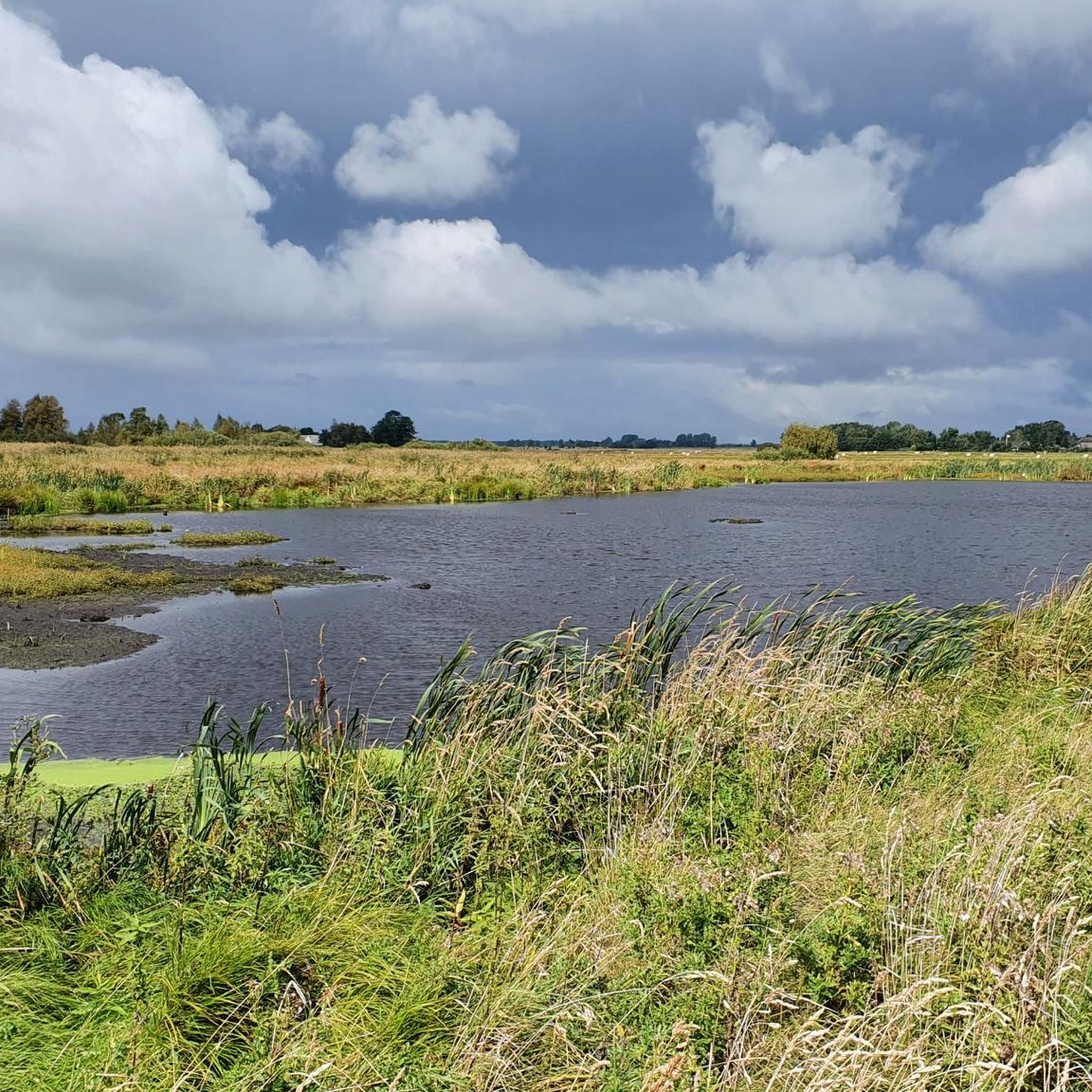
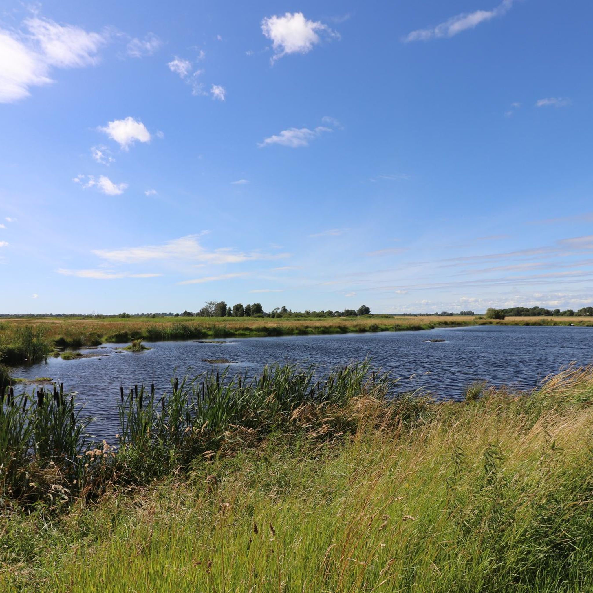
Road cycling routes around Dellstedter Birkwildmoor traverse a unique high moor landscape within the extensive Eider-Treene-Sorge river region. This area is characterized by its protected Atlantic raised bogs, Nordermoor and Ostermoor, which are surrounded by a network of well-developed cycling routes. The terrain is generally flat to gently rolling, offering accessible road cycling experiences. While direct paths do not run through the sensitive moorland, paved routes encircle it, providing views of the natural monument and the broader cultural landscape.
Best…
Last updated: July 10, 2026
4
riders
48.6km
02:08
240m
240m
Moderate road ride. Good fitness required. Mostly well-paved surfaces and easy to ride.
5
riders
32.5km
01:22
140m
140m
Moderate road ride. Great for any fitness level. Some segments of this route may be unpaved and difficult to ride.

Sign up for free
5.0
(7)
31
riders
74.2km
03:10
180m
170m
Moderate road ride. Good fitness required. Mostly well-paved surfaces and easy to ride.
5.0
(1)
28
riders
57.4km
02:25
170m
170m
Moderate road ride. Good fitness required. Mostly well-paved surfaces and easy to ride.
4.0
(4)
9
riders
32.1km
01:25
130m
130m
Easy road ride. Great for any fitness level. Mostly well-paved surfaces and easy to ride.
Get access to more routes and recommendations from other explorers.
Sign up for free
Already have an account?
Our route recommendations are based on thousands of hikes, rides, and runs completed by other people on komoot.
Start today with a free account
Your next adventure awaits.
Login or Signup

Tips from the Community

I can only repeat myself, always delicious!
0
0
Be careful, the paths are soft and wet even during prolonged dry periods!
0
0
You can find super delicious and large pieces of cake here.
2
0

This mill was also open to visitors today - on Mill Day - and there was a lot going on!
0
0

The Eider River marks the border between the districts of Dithmarschen and Rendsburg-Eckernförde. The pumping station is located at the idyllic bend of the river. The red brick building is designed to pump biological wastewater from the Eider.
3
0
During the construction of the Kiel Canal (NOK), a connection between the Kiel Canal and the Eider River was created in Rendsburg. However, because the lock increasingly hindered road traffic in Rendsburg, an alternative lock was built further west in 1937: The Gieselau Lock. Since then, this lock has connected the Eider River with the Kiel Canal in the Gieselau Valley, south of Prinzenmoor. The Gieselau Canal is only navigable during the summer months.
5
0
Who doesn't like @Dani's post here and why (?) is not clear to me 🤔
5
0
Road traffic, and thus also the hiking trail, is routed through the truly picturesque Giselau Lock. Visitors rattle along wooden planks. The canal is beautifully situated and runs through a rather quiet, rural area.
5
0
Frequently Asked Questions
What kind of terrain can I expect on road cycling routes around Dellstedter Birkwildmoor?
The region around Dellstedter Birkwildmoor is characterized by a unique high moor landscape, river plains, and agricultural areas. The terrain is generally flat to gently rolling, making it accessible for road cyclists. While direct paths do not run through the sensitive moorland, paved routes encircle it, offering smooth surfaces and scenic views of the natural monument and the broader cultural landscape.
Are there many road cycling routes available in the Dellstedter Birkwildmoor area?
Yes, there are numerous road cycling routes. Komoot lists over 80 road cycling tours around Dellstedter Birkwildmoor, catering to various skill levels. This includes 27 easy routes and 53 moderate routes, ensuring options for both relaxed rides and more challenging excursions.
What are some popular circular road cycling routes in the region?
Many routes in the area are designed as loops, allowing you to start and end in the same location. A popular moderate option is the Dellstedter Birkwildmoor – Café Snövit loop from Friedrichsgraben, which covers about 47.8 km. For an easier, shorter ride, consider the Café Snövit – Dellstedter Birkwildmoor loop from Friedrichsgraben, spanning 32.4 km with minimal elevation.
Are there any longer road cycling routes for more experienced riders?
Yes, for those seeking a longer ride, the Dellstedter Birkwildmoor – Giselau Lock loop from Tielen is a great choice. This moderate route extends for about 75.4 km, leading through the Eider-Treene-Sorge river landscape and typically takes around 3 hours and 11 minutes to complete.
What can I see along the road cycling routes around Dellstedter Birkwildmoor?
The routes offer diverse scenery, including views of the unique high moor landscape, river plains, and agricultural areas. You can observe typical bog vegetation like cotton grass and bell heather. An observation platform and tower along a circular path provide panoramic views over the Dellstedter Birkwildmoor, allowing you to take in the expansive natural beauty.
Are the road cycling routes suitable for families?
Yes, the region offers several easy road cycling routes that are well-suited for families. The generally flat to gently rolling terrain and paved surfaces make for comfortable riding. Routes like the Café Snövit – Dellstedter Birkwildmoor loop from Friedrichsgraben are shorter and have minimal elevation, making them ideal for a relaxed family outing.
What do other road cyclists enjoy most about cycling in Dellstedter Birkwildmoor?
The area is highly rated by the komoot community, with an average score of 4.3 stars from over 65 reviews. Reviewers often praise the unique high moor landscape, the well-maintained paved routes, and the sense of vastness and immersion in nature that the region provides. The variety of routes, from easy loops to longer moderate rides, is also frequently highlighted.
Can I bring my dog on the cycling trails around Dellstedter Birkwildmoor?
While the Dellstedter Birkwildmoor itself is a protected nature reserve where direct cycling is not permitted, the surrounding cycling routes are generally accessible. However, specific rules regarding dogs on cycling trails can vary. It's always advisable to keep dogs on a leash, especially in natural areas, and to check local regulations for any specific restrictions on the routes you plan to take.
Are there any cafes or places to stop for refreshments along the routes?
Yes, the region has several small towns and villages like Dellstedt and Tellingstedt nearby. While specific cafes directly on every route might vary, popular routes often pass by or near establishments like Café Snövit, which is even featured in route names such as the Hohner Ferry – Café Snövit loop from Süderdorf. These provide opportunities for refreshments and breaks.
What is the best season for road cycling in Dellstedter Birkwildmoor?
The best season for road cycling in Dellstedter Birkwildmoor is typically from spring through early autumn. During May and June, you can witness cotton grass meadows in bloom, and later in the summer, blossoming orchid meadows add to the scenic beauty. The weather is generally milder and more pleasant for cycling during these months.
Is there public transport available to reach the cycling routes, especially if I have a bike?
The Dellstedter Birkwildmoor region is part of the Eider-Treene-Sorge river landscape, which has some regional public transport options. While direct train stations might not be immediately adjacent to all trailheads, some regional buses or trains may allow bikes, particularly outside of peak hours. It's recommended to check local public transport schedules and bike carriage policies in advance for specific routes and connections to towns like Dellstedt or Tellingstedt.
Where can I find parking for my car when starting a road cycling tour?
Parking is generally available in the towns and villages surrounding Dellstedter Birkwildmoor, such as Friedrichsgraben, Süderdorf, or Tielen, which are common starting points for many komoot tours. Look for designated public parking areas in these locations, often near local amenities or trail access points.
Most popular routes around Dellstedter Birkwildmoor

Get inspired with the komoot mobile app


Explore more
Browse the best Road cycling routes in other regions.
