The best road cycling routes around Manjabálago
48
riders
4
rides
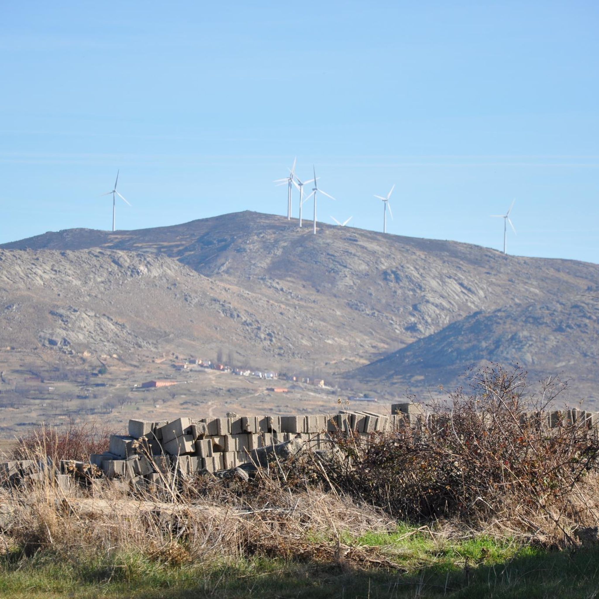
Road cycling around Manjabálago offers a diverse landscape, characterized by both undulating terrain and flatter areas suitable for cycle tourism. The region is nestled within the Sierra de Ávila, featuring extensive oak groves, meadows, and rocky outcrops. Cyclists can explore routes that lead through tranquil, green environments and alongside water bodies like the Gamonal reservoir and the Almar river. This varied scenery provides a compelling environment for road cyclists seeking different challenges.
Best road cycling routes around Manjabálago
- The most…
Last updated: July 14, 2026
19
riders
76.9km
03:51
1,110m
1,110m
Hard road ride. Very good fitness required. Mostly well-paved surfaces and easy to ride.
11
riders
93.6km
04:50
1,580m
1,580m
Hard road ride. Very good fitness required. Some segments of this route may be unpaved and difficult to ride.

Sign up for free
6
riders
61.2km
03:07
1,040m
1,040m
Hard road ride. Very good fitness required. Mostly well-paved surfaces and easy to ride.
6
riders
42.3km
02:03
620m
620m
Moderate road ride. Good fitness required. Mostly well-paved surfaces and easy to ride.
5
riders
91.4km
04:40
1,490m
1,490m
Hard road ride. Very good fitness required. Mostly well-paved surfaces and easy to ride.
Our route recommendations are based on thousands of hikes, rides, and runs completed by other people on komoot.
Start today with a free account
Your next adventure awaits.
Login or Signup
Popular around Manjabálago
Tips from the Community

Beautiful views, on a good day you can see people taking off on paragliders.
0
0
A magnificent mountain pass to climb by bike with magnificent views from either side.
0
0

Beautiful and at the same time small town that is characterized by the Sierra de la Serrota and to the north, by the "dehesas" that are close to the Río Alberche (Dehesa de San Martín and Dehesa de las Cañadas).
0
0

A large port, 15 km long if we start from Piedrahita, and with a constant slope of 6% except for a couple of short sections that are less and some sections that reach 9%, but very punctual. The condition of the asphalt is good, it is one of the few ports in the area with a surface in good condition. Upstairs it has very good views and there are usually people doing paragliding (if the weather conditions allow it)
0
0
Huge park that is located in front of the palace of the Dukes of Alba. A large palace surrounded by walls and which is difficult not to see as it is one of the important points of the town.
0
0
Small town that is located at the foot of the northern side of the Sierra de Ávila and that the center is governed by the parish church of San Juan Bautista. It is worth taking a stroll through its streets.
1
0
This is one of the most important buildings in the town of Pedrahíta along with the Palace of the Dukes of Alba and the Convento de Carmelitas which is located in the same town.
1
0
Small town that is located in what is called the Valle de Amblés and that is a few kilometers from its capital, Ávila. From the core, you can begin to see the first forms of the Sierra de Paramera and Gredos.
0
0
Frequently Asked Questions
How many road cycling routes are available around Manjabálago?
There are over a dozen road cycling routes around Manjabálago, offering a variety of experiences. These routes are primarily concentrated in the moderate to difficult categories, catering to cyclists looking for a challenge.
What kind of terrain can I expect when road cycling near Manjabálago?
The region around Manjabálago offers a diverse landscape for road cycling. You'll find a mix of undulating terrain and flatter areas, particularly suitable for cycle tourism. Routes often lead through extensive oak groves, meadows, and past rocky outcrops, with some paths alongside water bodies like the Gamonal reservoir and the Almar river.
Are there options for different skill levels, from beginners to experienced cyclists?
While Manjabálago offers a compelling environment for road cycling, the majority of routes are geared towards moderate to difficult skill levels. For example, the Sierra de Ávila and Puerto de las Fuentes Loop is a moderate option, while routes like Ascents to the Sierra de Ávila and Villanueva — circular from Peñaranda de Bracamonte present a more difficult challenge.
What natural features or landmarks can I see along the road cycling routes?
Road cycling routes around Manjabálago offer scenic views of the Sierra de Ávila's natural beauty. You can expect to see extensive oak groves, meadows, and rocky outcrops. Notable natural features include the Gamonal reservoir and the Almar river. Cyclists can also pass by viewpoints such as Views of Valdecasa and the Las Fuentes Pass.
Are there any historical sites or cultural points of interest to explore while cycling?
Yes, the region has historical charm. You might cycle through traditional 'serranas' houses and past the Church of San Miguel in Manjabálago. Further afield, you can find sites like the Ruins of Monasterio del Risco or the Hermitage of Our Lady of Rihondo, adding a cultural dimension to your ride.
Are there circular road cycling routes available around Manjabálago?
Many of the road cycling routes in the area are designed as loops, allowing you to start and end in the same location. Examples include the Sierra de Ávila and Puerto de las Fuentes Loop and the Ascents to the Sierra de Ávila and Villanueva — circular from Peñaranda de Bracamonte.
What is the best time of year for road cycling in Manjabálago?
Spring is particularly vibrant for road cycling in Manjabálago, with an abundance of flowers and lush green environments. The tranquil atmosphere and natural beauty are significant draws during this season. However, the varied terrain makes it enjoyable across multiple seasons, depending on your preference for warmth and foliage.
Are there challenging climbs for experienced road cyclists in the Manjabálago area?
Absolutely. The Sierra de Ávila region offers significant elevation gains, making it ideal for experienced road cyclists seeking challenging climbs. Many of the routes, such as the Puerto de Villatoro – Las Fuentes Pass loop from Martínez, feature substantial ascents and descents, providing a demanding and rewarding experience.
Are there any longer distance road cycling routes for endurance training?
Yes, the area provides several longer distance routes suitable for endurance training. For instance, the Ascents to the Sierra de Ávila and Villanueva — circular from Peñaranda de Bracamonte covers over 117 km, while the Ávila City Walls – Mosén Rubí Chapel loop from Ávila is nearly 100 km, offering ample distance for extended rides.
What do other road cyclists enjoy most about the routes around Manjabálago?
Cyclists frequently praise the diverse scenery, which includes extensive oak groves, tranquil meadows, and picturesque routes alongside water bodies. The blend of undulating and flatter terrain provides varied challenges, and the peaceful atmosphere of the Sierra de Ávila is often highlighted as a key draw for those seeking to connect with nature.
Where can I find parking when planning a road cycling trip to Manjabálago?
Manjabálago is a small village, and while specific designated cycling parking areas are not detailed, you can typically find parking within the village or at the start points of various routes. It's advisable to check local signage upon arrival for the most appropriate and convenient spots.
What makes the Sierra de Ávila a good region for road cycling?
The Sierra de Ávila, where Manjabálago is located, is an excellent region for road cycling due to its unique geographical setting. It offers a compelling mix of undulating and flat terrain, diverse landscapes with oak groves and rocky outcrops, and scenic routes alongside reservoirs and rivers. The tranquil environment and traditional villages also add to the appeal, providing a rich backdrop for exploration.
Most popular routes around Manjabálago
Most popular attractions around Manjabálago

Get inspired with the komoot mobile app


Explore more
Browse the best Road cycling routes in other regions.
