The best running trails around Harzer Bachtäler
4.5
(717)
7,651
runners
547
runs
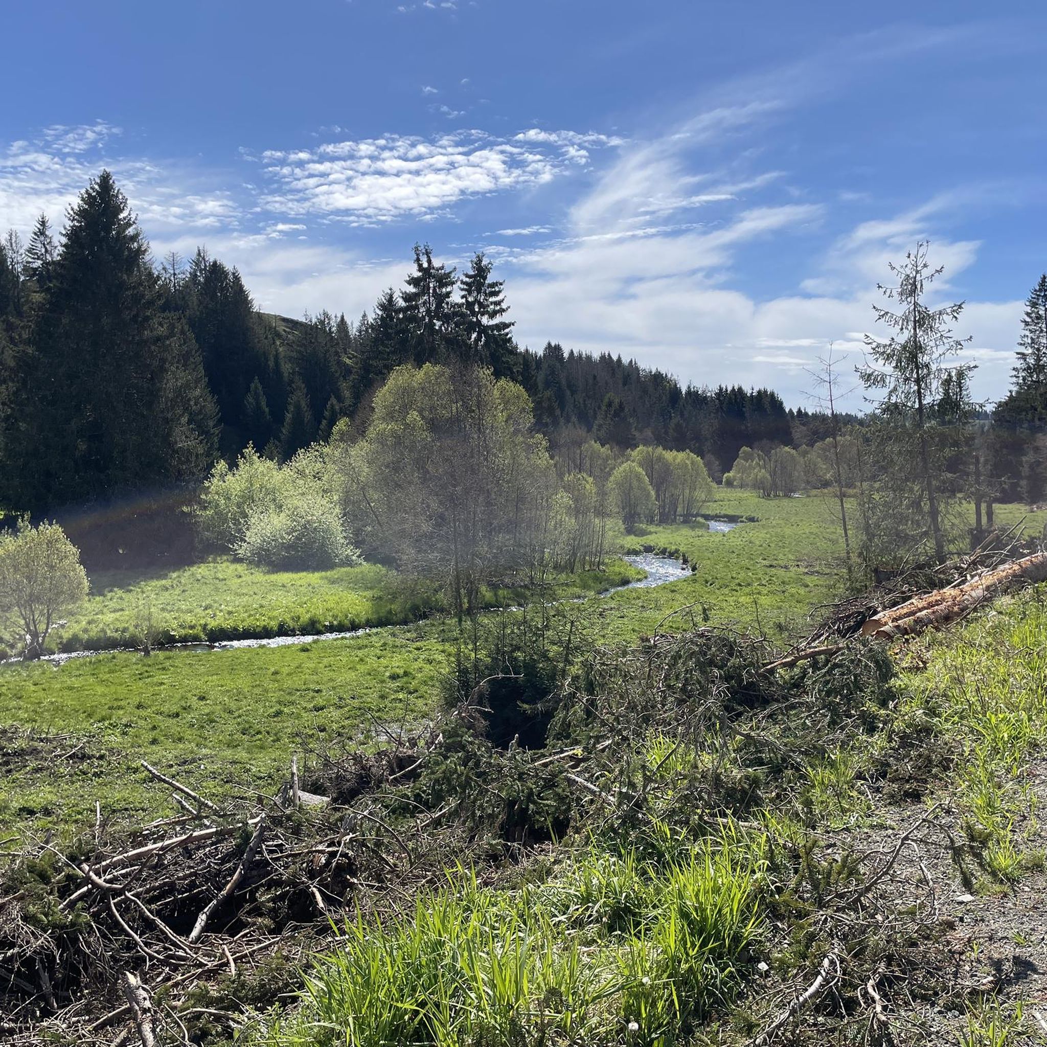
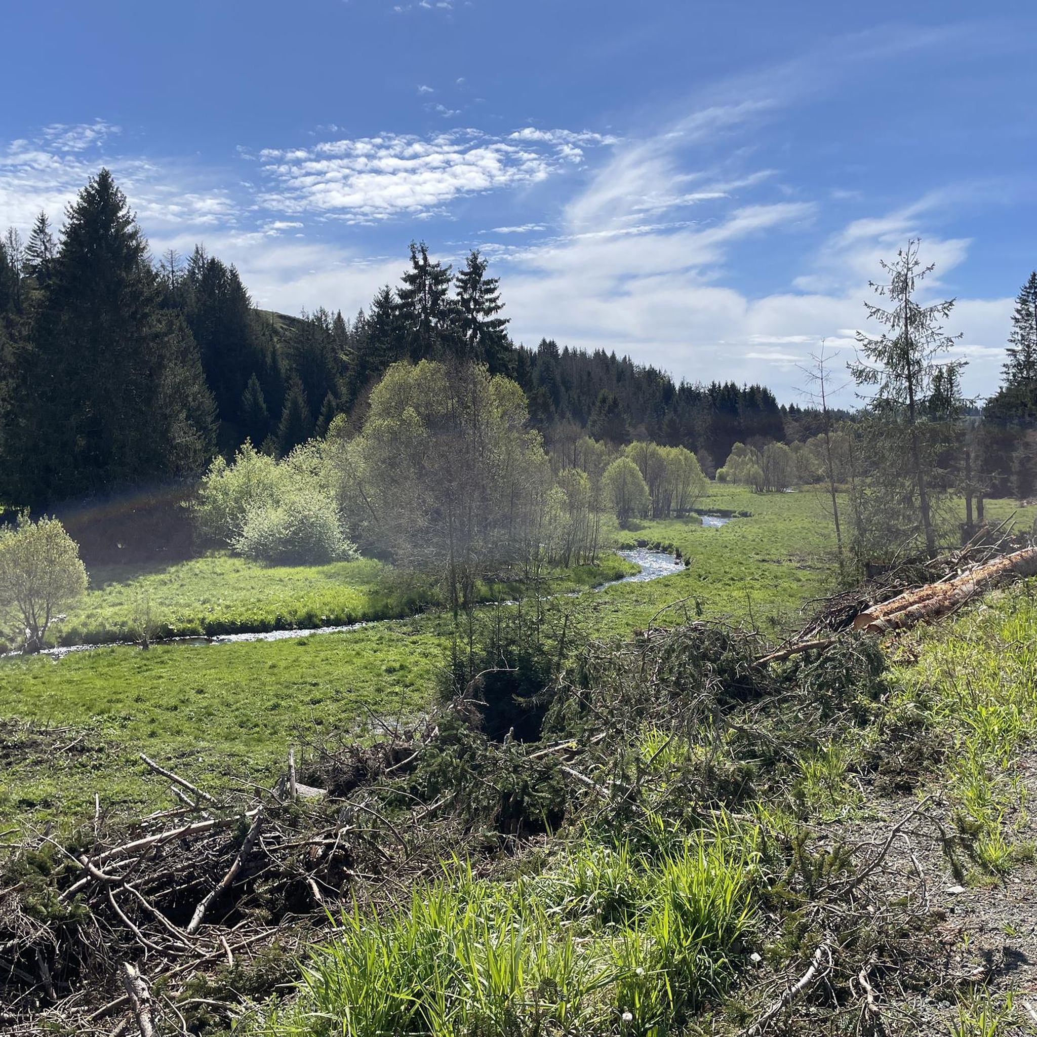
Jogging routes around Harzer Bachtäler are characterized by extensive water systems, including the Warme Bode and Rappbode rivers, often accompanied by riparian forests. The region features varied topography, from steep V-shaped valleys to flat trough valleys, with elevations ranging from approximately 440 to over 750 meters above sea level. Runners can explore dense deciduous and coniferous forests, as well as wet meadows and montane communities. This diverse landscape provides a range of running experiences across its well-preserved natural settings.
Best…
Last updated: June 26, 2026
5.0
(4)
43
runners
Hard run. Very good fitness required. Mostly paved surfaces. Suitable for all skill levels.
5.0
(1)
31
runners
22.6km
02:41
590m
590m
Hard run. Very good fitness required. Mostly accessible paths. Some sure footedness required.

Sign up for free
4.0
(1)
31
runners
12.5km
01:20
190m
190m
Moderate run. Good fitness required. Mostly paved surfaces. Suitable for all skill levels.
5.0
(2)
6
runners
10.1km
01:09
240m
240m
Moderate run. Good fitness required. Mostly paved surfaces. Suitable for all skill levels.
3.5
(2)
12
runners
4.92km
00:34
80m
80m
Easy run. Great for any fitness level. Mostly paved surfaces. Suitable for all skill levels.
Get access to more routes and recommendations from other explorers.
Sign up for free
Already have an account?
Our route recommendations are based on thousands of hikes, rides, and runs completed by other people on komoot.
Start today with a free account
Your next adventure awaits.
Login or Signup
Popular around Harzer Bachtäler
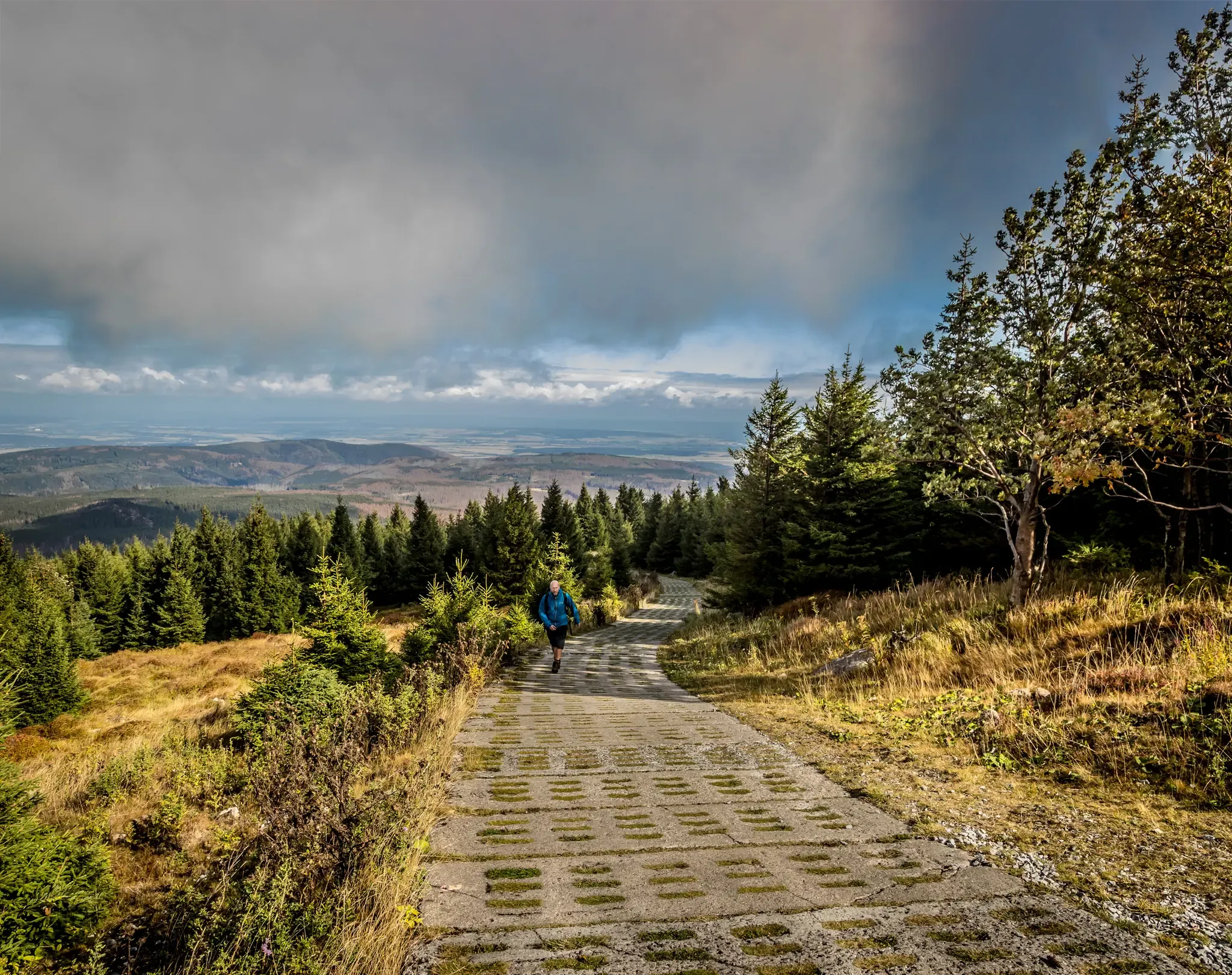
Reunited mountains – hiking along the Harz Border Trail
Reunited mountains – hiking along the Harz Border Trail
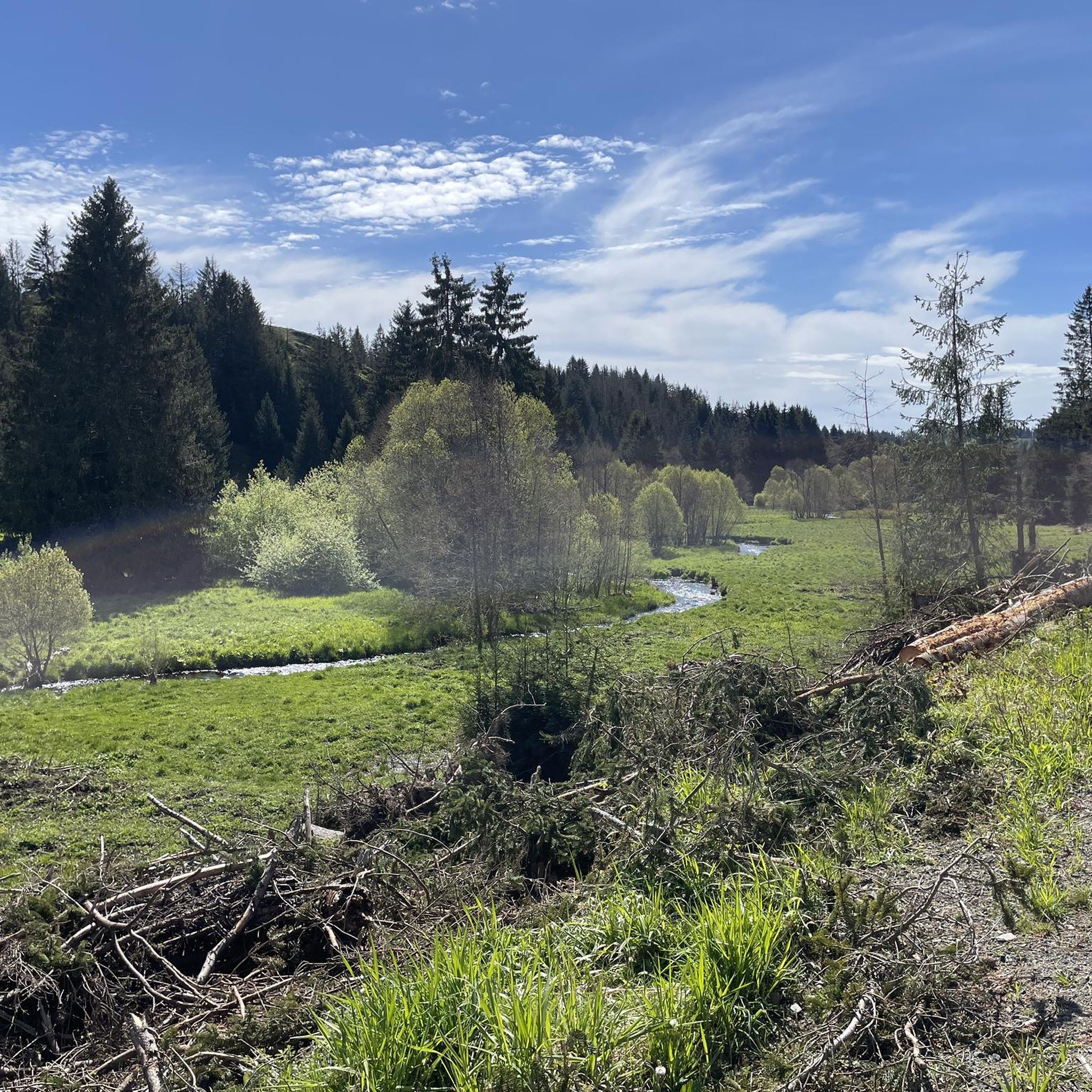
Hiking around Harzer Bachtäler
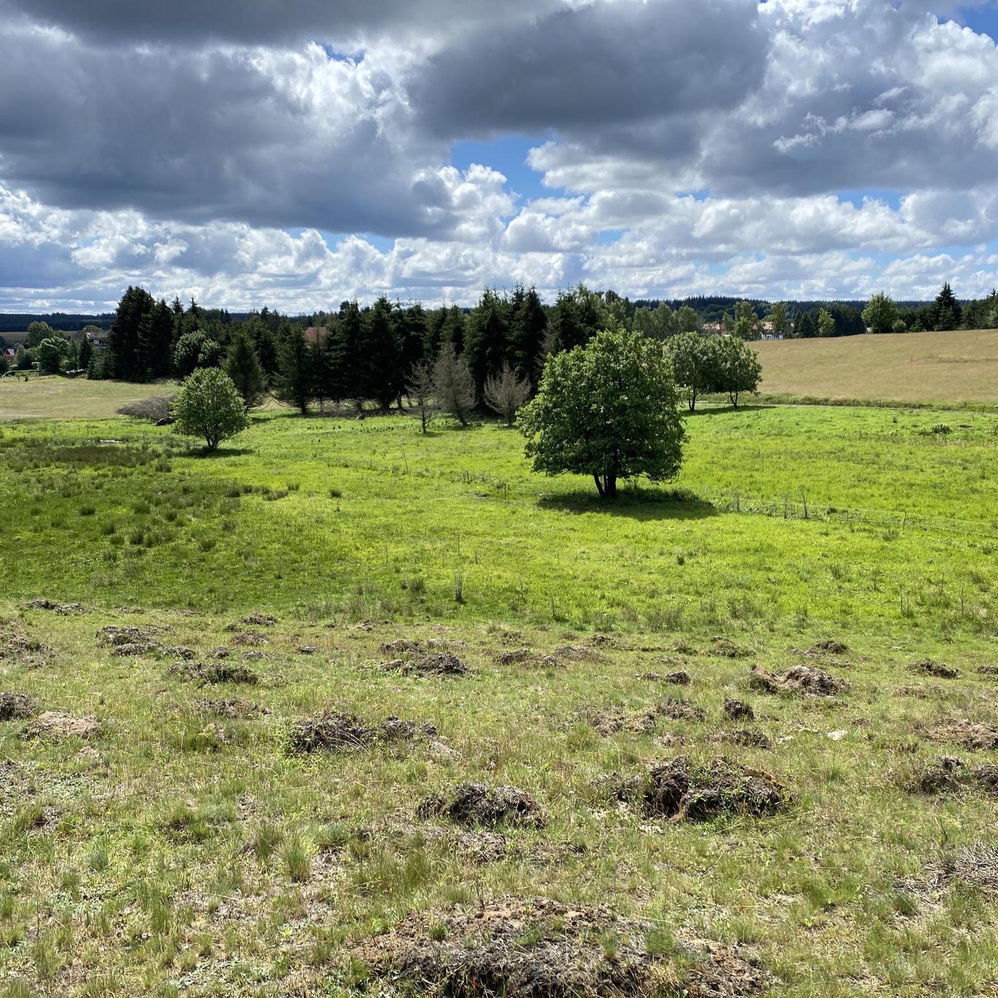
MTB Trails around Harzer Bachtäler
Road Cycling Routes around Harzer Bachtäler
Gravel biking around Harzer Bachtäler
Cycling around Harzer Bachtäler
Mountain Hikes around Harzer Bachtäler


Tips from the Community

There is now a copper coin vending machine nearby.
0
0

The Evangelical Lutheran Church "Zur Himmelspforte" (Peace Gate) in Hohegeiß is a baroque half-timbered building with wood paneling, built between 1701 and 1704 and often referred to as a wooden church. Its 27-meter-high tower was added in 1893, and it is open to visitors during the day.
1
0

The direct view of the Brocken is blocked by a few trees.
9
1

Very nice shelter in the rain.
0
0

You can walk along gravel forest paths with a moderate gradient below the Wurmberg or up to the summit.
1
0

Evangelical Church "To the Gate of Heaven" in Hohegeiß
0
0

At 603.4 m, the zero point in the Harz is the highest point on today's state road 600, which in Lower Saxony serves as a connecting road from Braunlage to Zorge, and is also part of the watershed between the northern (Brunnenbach–Warme Bode–Bode) and southern Harz (Zorge–Helme–Unstrut). It is located in the Upper Harz in the Harz Nature Park about 600 m northwest of the summit of the Hinterer Ebersberg (approx. 686 m). Surveying work probably began here in 1864 when the new road was built, which - away from the current state road - is now only used as a forest path in sections. Source: https://de.wikipedia.org/wiki/Nullpunkt_(Harz)
3
0
The Hahnestein is located in Hohegeiß between the “Bechlerstein” hiking car park and the Hinterer Ebersberg (686 m above sea level). The memorial stone commemorates the Hohegeiß forest worker Wilhelm Hahne (1865 - 1952). He started working as a forest worker at the age of 15, did not want to know anything about his well-earned retirement at the age of 65 and worked in the forest until he was 85. In recognition of 70 years of professional activity, the forestry office had the memorial stone erected for him in 1951, and the honoree was able to witness its unveiling in person. Source: https://www.harzer-wandernadel.de/stempelstellen/uebersichtskarte/stempelstelle-206-hahnestein/
5
0
Frequently Asked Questions
How many running routes are available in the Harzer Bachtäler region?
The Harzer Bachtäler region offers a wide selection of running routes, with over 500 trails available for joggers. These include a mix of easy, moderate, and difficult paths to suit various fitness levels.
What kind of terrain can I expect on the running trails in Harzer Bachtäler?
The terrain in Harzer Bachtäler is highly varied, ranging from steep V-shaped valleys to flat trough valleys. You'll find paths through dense deciduous and coniferous forests, along extensive wet meadows, and beside near-natural flowing water systems like the Warme Bode and Rappbode rivers. Elevations can span from approximately 440 to over 750 meters above sea level, offering diverse running experiences.
Are there easy running routes suitable for beginners or casual joggers?
Yes, the Harzer Bachtäler region provides options for all skill levels. There are 39 easy running routes available, perfect for beginners or those looking for a more relaxed jog through the scenic landscapes.
Can I find routes with significant elevation for a challenging run?
Absolutely. For those seeking a challenge, there are 185 difficult running routes in Harzer Bachtäler. Trails like the Wurmberg Summit – Braunlage Bike Park on the Wurmberg loop from Kramershai offer significant elevation gain, providing a demanding workout with rewarding views.
What natural features or landmarks can I see while jogging in Harzer Bachtäler?
While jogging, you can encounter a variety of natural features and historical landmarks. The region is known for its extensive water systems, lush forests, and diverse topography. You might pass by points of interest such as the Border Museum Sorge, the Harzer Wandernadel Stamp 18 – Grenzweg (Border Trail) at Kaffeehorst, or the Valley trail in the Harzer Bachtäler nature reserve. The Carlshausturm observation platform also offers panoramic views.
Are there any specific trails that offer a 'wild and romantic' experience?
Yes, the Dammbachtal is particularly noted for its 'wild and romantic' character. This area features well-constructed paths, including wooden boardwalks over side streams, and leads to attractions like the Waldbad Trautenstein. The Selketal Valley also offers impressive rock formations and widespread beech forests, contributing to a similar ambiance.
Is the Harzer Bachtäler region suitable for family-friendly jogging?
Yes, the diverse trail network includes many routes suitable for families. While some trails are challenging, there are 39 easy routes that are generally more accessible for family outings. The varied landscapes and natural features can make for an engaging experience for all ages.
Are dogs allowed on the running trails in Harzer Bachtäler?
The Harzer Bachtäler nature reserve is generally welcoming to outdoor activities. While specific rules can vary, many trails in the broader Harz region are dog-friendly. It's always recommended to keep dogs on a leash to protect wildlife and ensure a pleasant experience for all users.
What do other runners say about the jogging routes in Harzer Bachtäler?
The running routes in Harzer Bachtäler are highly rated by the komoot community, with an average score of 4.5 stars from nearly 600 reviews. Runners often praise the well-preserved natural settings, the extensive trail network, and the diverse landscapes that offer both challenging climbs and peaceful riverside runs.
Are there options for circular running routes in the area?
Yes, many of the running routes in Harzer Bachtäler are designed as loops, allowing you to start and finish at the same point. For example, the Nullpunkt (Harz Mountains) – Willibald Ihmann Shelter loop from Hohegeiß is a popular circular trail through the Harz Mountains.
How can I access the jogging trails, particularly regarding parking or public transport?
The Harz region has an extensive trail network, and many trailheads are accessible. While specific parking information for every route isn't available here, areas like the Dammbachtal are part of main hiking trails, suggesting accessible starting points. For public transport, it's best to check local transport schedules for specific towns or villages near your chosen starting point, such as Hohegeiß or Sorge, which are common starting points for routes like the Running loop from Hohegeiß.
What is the best time of year to go running in Harzer Bachtäler?
The Harzer Bachtäler region offers beautiful scenery year-round. Spring and autumn provide pleasant temperatures and vibrant natural colors, with wildflowers like globe flowers and irises in spring. Summer is also excellent, especially along the cooler river valleys. Winter running is possible, but conditions can be challenging with snow and ice, particularly at higher elevations.
Are there any routes that follow the extensive water systems of the region?
Yes, the Harzer Bachtäler are characterized by a wide network of near-natural flowing water systems, including the Warme Bode and Rappbode rivers. Many running routes follow these rivers and their tributaries, often accompanied by picturesque alder and spruce forests, providing beautiful and often flatter paths along the water.
Most popular routes around Harzer Bachtäler
Most popular attractions around Harzer Bachtäler

Get inspired with the komoot mobile app


Explore more
Browse the best Running Trails & Routes in other regions.
