The best running trails around Aniñón
4.0
(1)
42
runners
2
runs
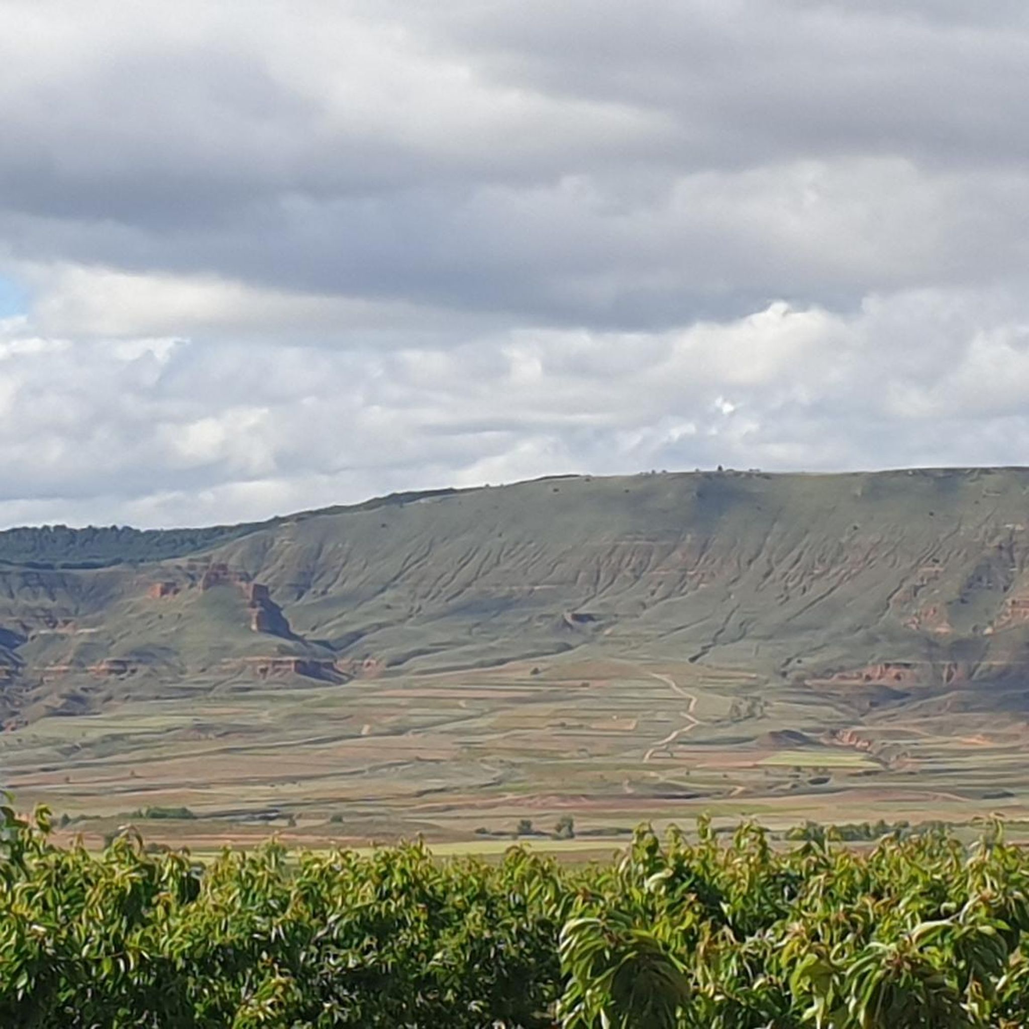
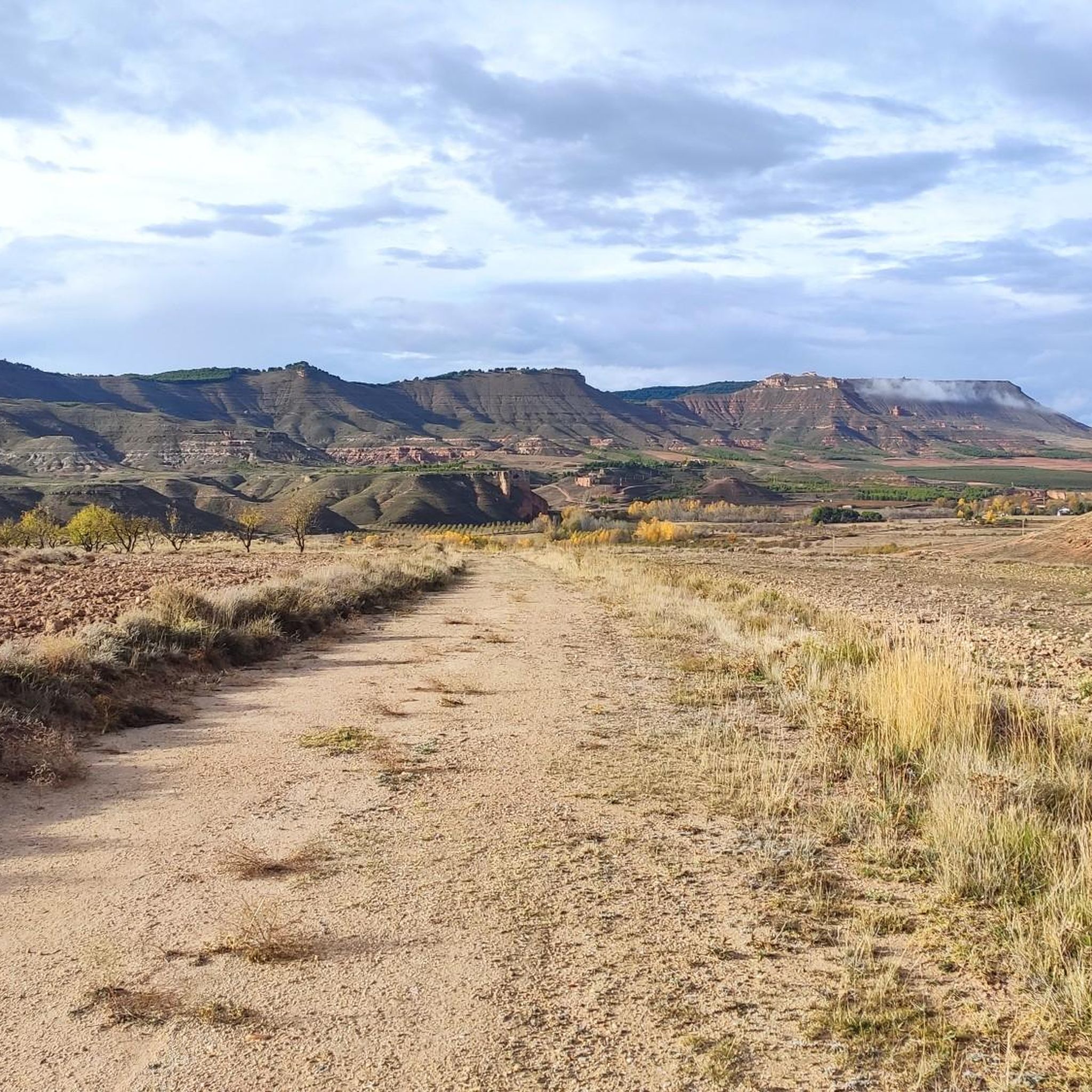
Jogging routes around Aniñón offer diverse natural landscapes and varied terrain for outdoor enthusiasts. Situated at an elevation of 729 meters, the area features hills, valleys, and riverine environments, providing a dynamic backdrop for running. The proximity to the Sierra de la Virgen and the Ribota River allows for a range of jogging experiences, from more strenuous hill climbs to gentler paths along the water. This blend of accessible trails and varied topography creates an invigorating environment for exercise.
Best…
Last updated: June 28, 2026
4.0
(1)
34
runners
8.25km
00:52
20m
20m
Moderate run. Good fitness required. Mostly paved surfaces. Suitable for all skill levels.
4
runners
14.2km
02:10
720m
720m
Hard run. Very good fitness required. Mostly paved surfaces. Suitable for all skill levels.

Sign up for free
4
runners
18.6km
02:51
920m
920m
Hard run. Very good fitness required. Mostly paved surfaces. Suitable for all skill levels.
Our route recommendations are based on thousands of hikes, rides, and runs completed by other people on komoot.
Start today with a free account
Your next adventure awaits.
Login or Signup
Tips from the Community

Beautiful basilica in the city of Calatayud where the interior stands out with an altar and impressive baroque wooden altarpieces. It is the most important basilica of the order of the Holy Sepulcher of Jerusalem in Spain.
1
0
If we are walking these trails between cultivated fields near Illueca we will have beautiful views of the town with the imposing Castle of Papa Luna.
1
0
Located at an altitude of 1,433 meters, we find the cairn at the top of Alto de Cabrera, with a panoramic view of the Sierra de la Virgen.
2
0
At 1,412 meters above sea level is the rocky peak of Peña del Café. 1 km away is what separates us from Peña Guzmán, both located in the Sierra de la Virgen.
1
0
Located at an altitude of 1,352 meters, we are in Peña de Guzmán with magnificent views between Mingoaranda and Peña del Café, all located in the Sierra de la Virgen.
1
0
Frequently Asked Questions
What kind of terrain can I expect on the running trails around Aniñón?
The region around Aniñón offers a diverse landscape for runners. You'll find a mix of hills, valleys, and riverine environments, providing a dynamic backdrop for your run. The trails can range from gentler paths along the Ribota River to more strenuous climbs in the Sierra de la Virgen, catering to various preferences and fitness levels.
Are there any challenging running routes in the Aniñón area?
Yes, Aniñón offers several challenging running routes. For instance, the El Almenos – Los Pedrosos loop from Embid de Jalón is a difficult 9.5-mile (15.3 km) path with significant elevation changes. Another demanding option is the Pico Café – Pico Cabrera (1,433 m) loop from Illueca, an 11.5-mile (18.6 km) trail through mountainous terrain.
What natural landmarks or viewpoints can I see while jogging near Aniñón?
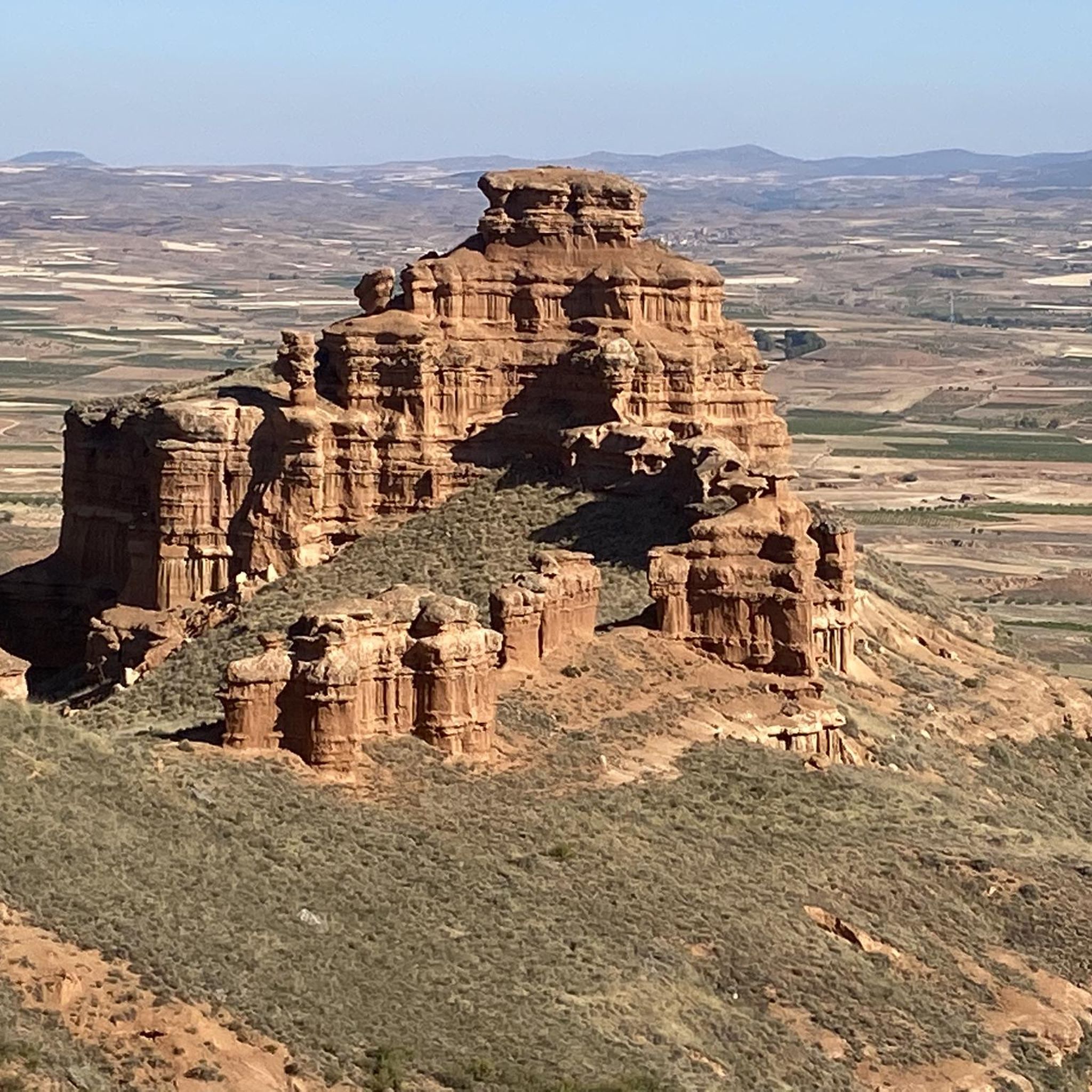
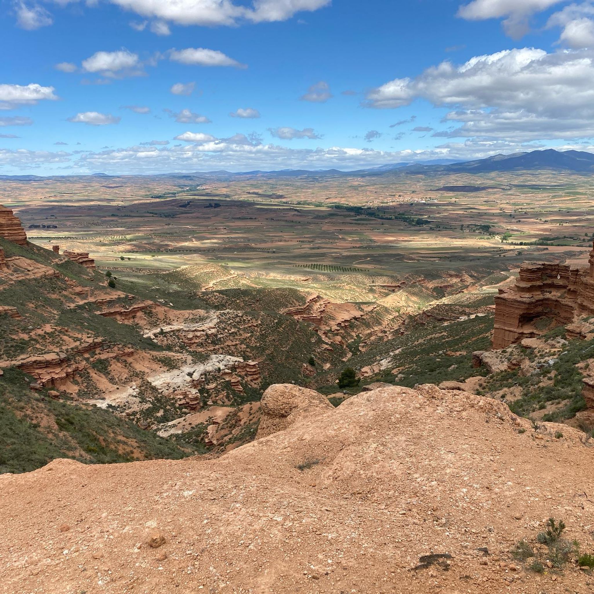
The running routes around Aniñón are rich with natural beauty and impressive sights. You can encounter the unique and dramatic Far West Bilbilitano Rock Formations, or enjoy rewarding vistas from Cruz de Armantes, which offers beautiful views of the Ribota valleys. The Castillejos Viewpoint (Sierra de Armantes) also provides stunning panoramas.
Are there any family-friendly or dog-friendly running trails available?
While specific trails are not explicitly designated as 'family-friendly' or 'dog-friendly' in the guide, the general network of trails around Aniñón is suitable for various outdoor activities. Many paths along the Ribota River offer gentler, more level terrain which could be suitable for families. For dog owners, the natural environment provides ample space, but always ensure your dog is under control and check local regulations regarding pets on trails.
How many running routes are available in the Aniñón area?
The komoot guide features a selection of top running trails around Aniñón. In total, there are several routes documented, offering diverse experiences for runners. The region's extensive network of trails means there are many more opportunities to explore beyond the highlighted routes.
What is the best time of year to go running in Aniñón?
Aniñón's varied topography makes it suitable for running throughout much of the year. The spring and autumn months generally offer pleasant temperatures for outdoor activities. Summer can be warm, so early morning or late evening runs are advisable. Winter running is possible, especially on lower elevation trails, but always check weather conditions, particularly in the higher Sierra de la Virgen areas.
Are there any circular running routes around Aniñón?
Yes, the guide highlights several circular running routes. For example, the Running loop from Calatayud is a moderate 6.6-mile (10.7 km) trail. Another option is the challenging Pico Café – Pico Cabrera (1,433 m) loop from Illueca, which takes you through mountainous terrain.
What do other runners say about the trails in Aniñón?
The komoot community highly values the running experiences in Aniñón. Over 20 runners have used komoot to explore the region's varied terrain, often praising the blend of natural beauty and physical challenge. The trails offer a dynamic backdrop, from impressive rock formations to scenic river valleys, making for an invigorating and visually stimulating environment.
Is there parking available near the running trailheads in Aniñón?
While specific parking details for each trailhead are not provided in this guide, Aniñón is a village with various access points to its surrounding trails. It is generally advisable to look for public parking areas within the village or at common starting points for outdoor activities. For routes starting from nearby towns like Calatayud or Illueca, parking facilities would typically be available in those locations.
Can I reach the running trails around Aniñón using public transport?
Aniñón is a rural village, and public transport options might be limited directly to all trailheads. It's best to check local bus schedules for services to Aniñón itself. For routes starting from larger nearby towns like Calatayud, public transport connections are likely more frequent, and you could then access trails from there.
Are there any easier or shorter running options for beginners?
While many routes in the guide are moderate to difficult, the region's diverse terrain includes gentler paths, particularly along the Ribota River. These flatter sections can be ideal for beginners or those looking for a less strenuous run. You can also explore shorter segments of longer trails to create an easier experience.
Most popular attractions around Aniñón

Get inspired with the komoot mobile app


Explore more
Browse the best Running Trails & Routes in other regions.
