The best road cycling routes around Wipperdurchbruch
4.6
(88)
896
riders
41
rides
Road cycling around Wipperdurchbruch is characterized by the Wipper river carving its way through the Muschelkalk of the Hainleite mountain range, creating a winding valley with steep slopes. This designated nature reserve offers varying elevations and diverse habitats, including dry grasslands and rock formations. The region provides a network of routes that traverse this unique geological formation, connecting historical landmarks and offering panoramic views. Cyclists can expect a mix of terrain, from valley floors to mountain spurs.
Best road cycling…
Last updated: October 11, 2026
4.0
(2)
31
riders
53.2km
02:25
510m
510m
Moderate road ride. Good fitness required. Mostly well-paved surfaces and easy to ride.
4.5
(2)
11
riders
31.9km
01:27
240m
240m
Easy road ride. Great for any fitness level. Mostly well-paved surfaces and easy to ride.

6
riders
Moderate road ride. Good fitness required. Mostly well-paved surfaces and easy to ride.
4.5
(11)
74
riders
Moderate road ride. Good fitness required. Mostly well-paved surfaces and easy to ride.
4.9
(7)
74
riders
Moderate road ride. Great for any fitness level. Some segments of this route may be unpaved and difficult to ride.
Get access to more routes and recommendations from other explorers.
Already have an account?
Our route recommendations are based on thousands of hikes, rides, and runs completed by other people on komoot.
Start today with a free account
Your next adventure awaits.
Tips from the Community

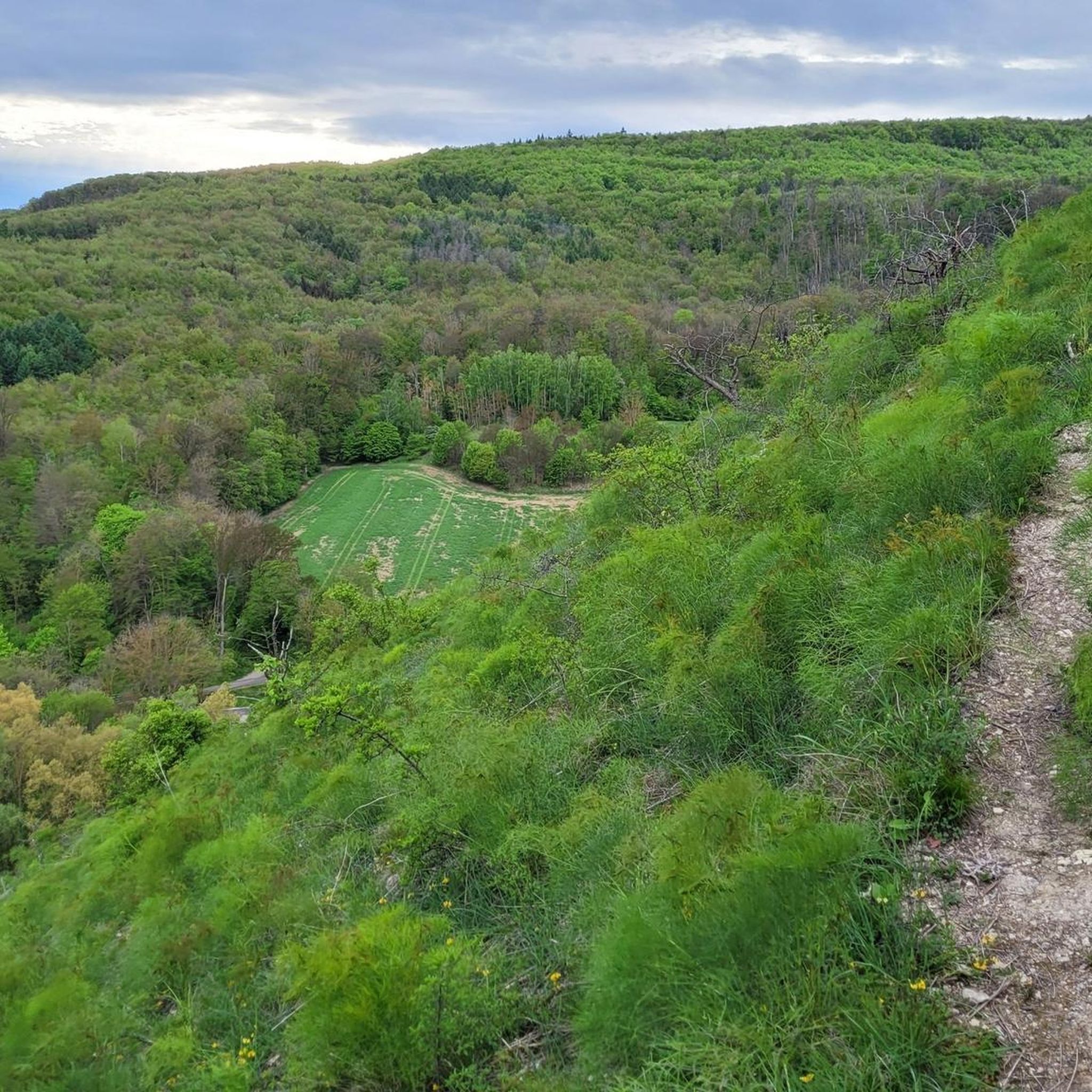
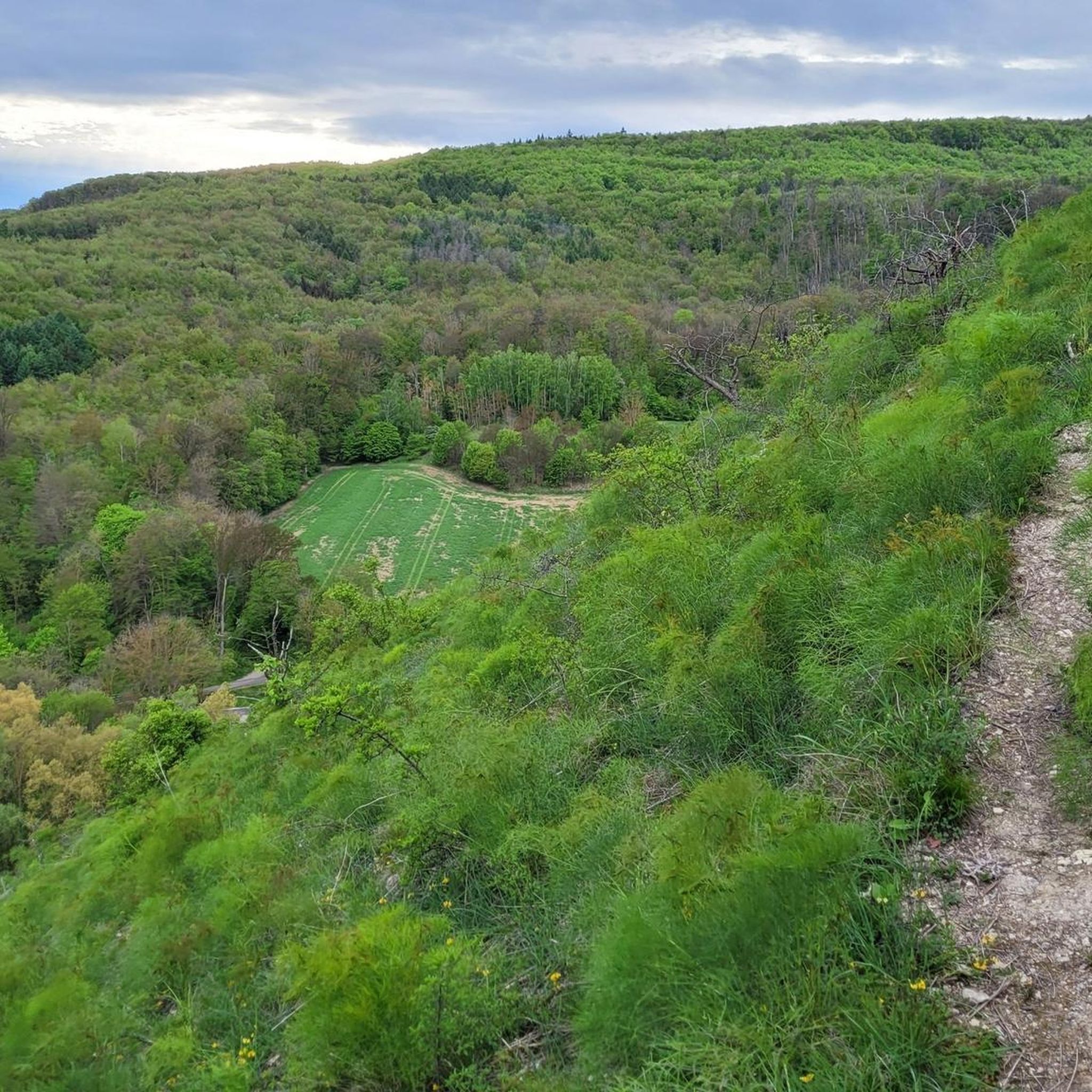
The Badraer Schweiz is an idyllic nature reserve on the edge of the Kyffhäuser Mountains. Known for its steep gypsum slopes and rare steppe flora, it offers a circular hike of about 6 to 10 km with great views of the Kelbra reservoir.
3
0


Here you can cool off and take a break after a hard tour.
0
0

In the choir, a buttress supports the central axis of the building from four sides of an octagon in late Gothic style. The longitudinal galleries are divided into basket arches and continue into the choir area, where the patron's boxes are located. The parish hall is divided into three floors and vaulted by a shallow wooden barrel vault. A stucco frame in the center supports the painting "Dance of Death and the Resurrection," painted by Jürgen Wegener in 1934. Dating from the construction period are the organ front, a stucco-covered altarpiece, and a pulpit supported by angel wings on the northern triumphal arch pillar. The baptismal font is an eye-catcher, made of white marble. Source: https://de.wikipedia.org/wiki/St._Marien_(Bad_Frankenhausen)
3
0
St. Mary's Church is also called the Lower Church. It was built in 1215 as a Cistercian monastery church. In 1536, the monastery was secularized, and the church served as the main parish church until it burned down in 1689. It was rebuilt as a lower church between 1691 and 1701, incorporating the substructure of the massive tower on the north side of the choir and the wall of the polygonal choir. Source: https://de.wikipedia.org/wiki/St._Marien_(Bad_Frankenhausen)
4
0

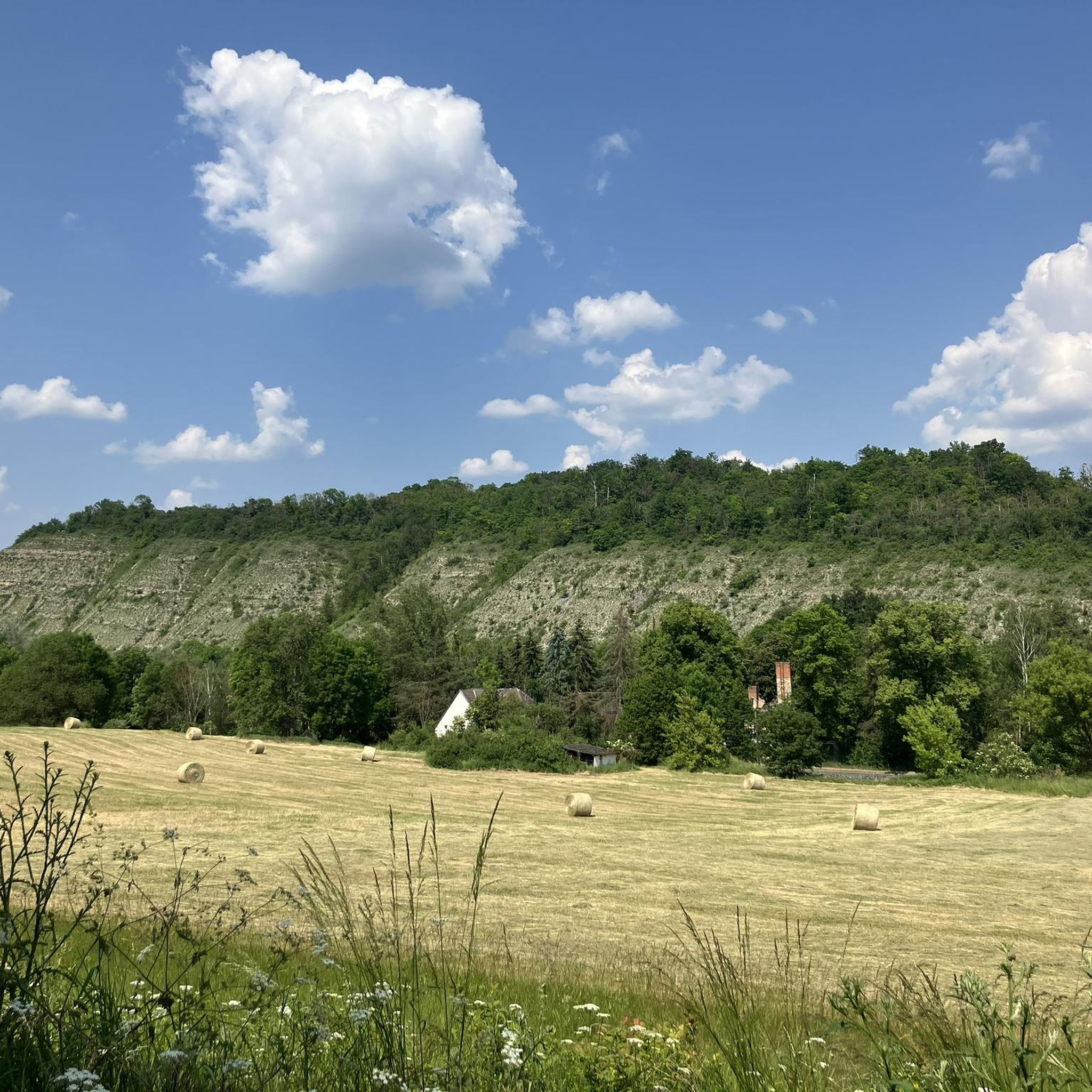
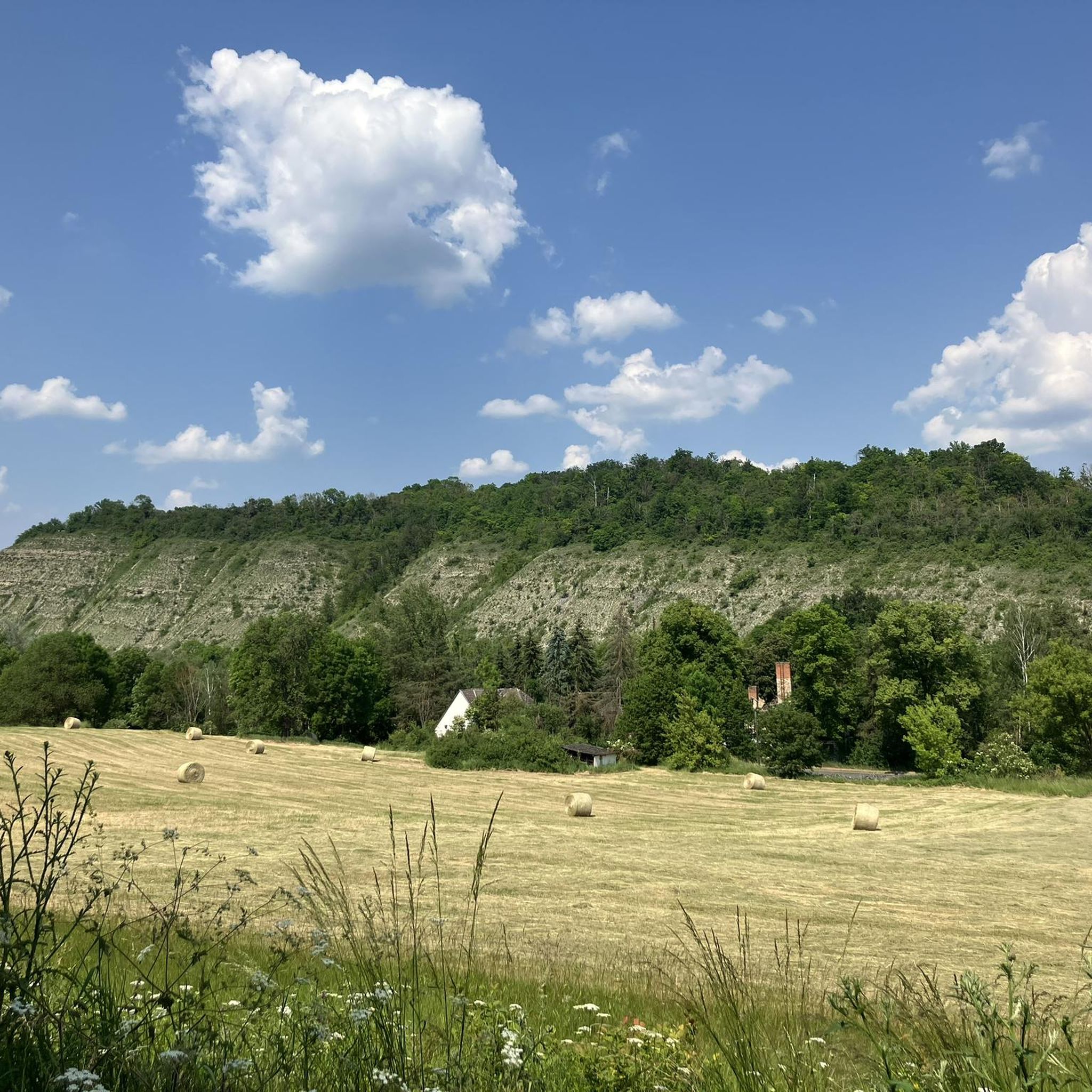
Great cycle path to Bad Frankenhausen!
0
0


Frequently Asked Questions
How many road cycling routes are available in the Wipperdurchbruch region?
There are over 40 road cycling routes around Wipperdurchbruch, offering a variety of experiences for different skill levels. These routes traverse the unique geological formation of the Wipper river valley, providing scenic rides through the Hainleite mountain range.
What are the difficulty levels of road cycling routes in Wipperdurchbruch?
The Wipperdurchbruch region offers a diverse range of road cycling routes to suit various fitness levels. You'll find 9 easy routes, 28 moderate routes, and 4 more challenging routes, ensuring there's something for everyone from casual riders to experienced cyclists.
What kind of terrain can I expect when road cycling in Wipperdurchbruch?
Road cycling in Wipperdurchbruch is characterized by the Wipper river carving its way through the Muschelkalk of the Hainleite, creating a winding valley with steep slopes. You can expect a mix of terrain, from relatively flat sections along valley floors to routes with significant elevation changes as you climb mountain spurs. The region's dramatic topography offers varying elevations, making for engaging rides.
Are there any family-friendly road cycling routes in Wipperdurchbruch?
Yes, the region offers routes suitable for families. Look for routes categorized as 'easy' which typically feature mostly paved surfaces and less significant elevation gains, often completed within a couple of hours. These routes allow families to enjoy the scenic beauty of the Wipperdurchbruch at a comfortable pace.
What are some notable landmarks or natural features to see along the road cycling routes?
While cycling, you can explore several interesting points. The Kohnstein Viewpoint offers panoramic views over the narrow Wipper Valley. You might also encounter the archaeological site of Arnsburg Ruins, or the beautiful Orchid Meadow, especially vibrant in spring. The region is a designated nature reserve, protecting its unique biodiversity.
Are there any circular road cycling routes in the Wipperdurchbruch area?
Yes, many routes in Wipperdurchbruch are designed as loops, allowing you to start and end at the same point. For example, the Wipperdurchbruch Cycle Path – View of Kohnstein loop from Seega is a popular 33.1-mile circular route, and the St. Wigbert Monastery Ruins – Unstrut-Werra Cycle Path loop from Seega offers an easier 20.0-mile option.
What is the best time of year for road cycling in Wipperdurchbruch?
The Wipperdurchbruch is particularly beautiful in spring, when the orchid meadows are in full bloom, offering a vibrant display of flora. The warmer months generally provide the most pleasant conditions for road cycling, allowing you to fully appreciate the diverse habitats and scenic views without the challenges of winter weather.
What do other cyclists say about road cycling in Wipperdurchbruch?
The road cycling routes in Wipperdurchbruch are highly rated by the komoot community, with an average score of 4.5 stars from over 70 reviews. More than 800 road cyclists have used komoot to explore the varied terrain, often praising the scenic beauty of the winding river valley and the diverse natural landscapes.
Are there any routes that pass by historical sites?
Yes, several routes offer glimpses into the region's history. For instance, the St. Wigbert Monastery Ruins – Unstrut-Werra Cycle Path loop from Seega passes by the St. Wigbert Monastery Ruins. Additionally, the region contains archaeological sites like the Bodendenkmale of Arnsburg and Kohnstein, with remnants of Arnsburg Castle visible.
Can I find amenities like cafes or rest areas along the road cycling routes?
While specific cafes may vary, the region does offer amenities for cyclists. You can find rest areas, such as the Rest area at the trail junction. The presence of villages along routes, like Seega and Günserode, also suggests opportunities for refreshments or breaks.
Are there any routes that offer extensive views?
Absolutely. The dramatic topography of the Wipperdurchbruch, with its steep slopes and mountain spurs, provides numerous opportunities for expansive views. The Kohnstein Viewpoint is a prime example, offering panoramic vistas over the Wipper Valley. The Hainleite ridge itself also provides extensive views to the south.
Most popular routes around Wipperdurchbruch
Most popular attractions around Wipperdurchbruch

Get inspired with the komoot mobile app


Explore more
Browse the best Road cycling routes in other regions.
