The best running trails around Los Villares De Soria
5.0
(1)
83
runners
4
runs
Jogging routes around Los Villares De Soria traverse a landscape characterized by extensive fields, undulating hills, and river systems. The region offers a tranquil rural atmosphere, with paths along the Villares River and nearby Merdancho River. Runners can explore unpaved roads and tracks through agricultural land and pine forests, providing varied terrain for outdoor activity. The broader Soria province, accessible from Los Villares De Soria, features additional trails along the Duero River and through areas like Mount Valonsadero.
Best jogging…
Last updated: July 12, 2026
8.65km
01:09
250m
250m
Jog this moderate 5.4-mile circular trail from Arévalo de la Sierra to Castro Alto de la Cruz, gaining 826 feet in about 1 hour and 8 minute
Moderate run. Good fitness required. Mostly accessible paths. Some sure footedness required.

Sign up for free
5.0
(1)
42
runners
9.01km
00:58
60m
60m
Moderate run. Good fitness required. Mostly paved surfaces. Suitable for all skill levels.
14
runners
10.3km
01:06
20m
20m
Moderate run. Good fitness required. Mostly paved surfaces. Suitable for all skill levels.
8
runners
11.6km
01:16
160m
160m
Moderate run. Good fitness required. Mostly paved surfaces. Suitable for all skill levels.
Our route recommendations are based on thousands of hikes, rides, and runs completed by other people on komoot.
Start today with a free account
Your next adventure awaits.
Login or Signup

Tips from the Community

Ready to discover one of the most beautiful natural areas of Soria? In the Acebal de Garagüeta nature reserve we will find a large number of hollies together, apart from great views at all times.
1
0
Running along the beautiful Senda del Acebal, within the Acebal de Garagüeta Nature Reserve, we come across this beautiful hut that will come in handy in case we want to take shelter.
1
0
Next to the Duero River we can walk along these beautiful footbridges that offer us great views of the river and the nature that surrounds us.
3
1
Beautiful path that advances through an oak grove leaving us a postcard print.
2
0
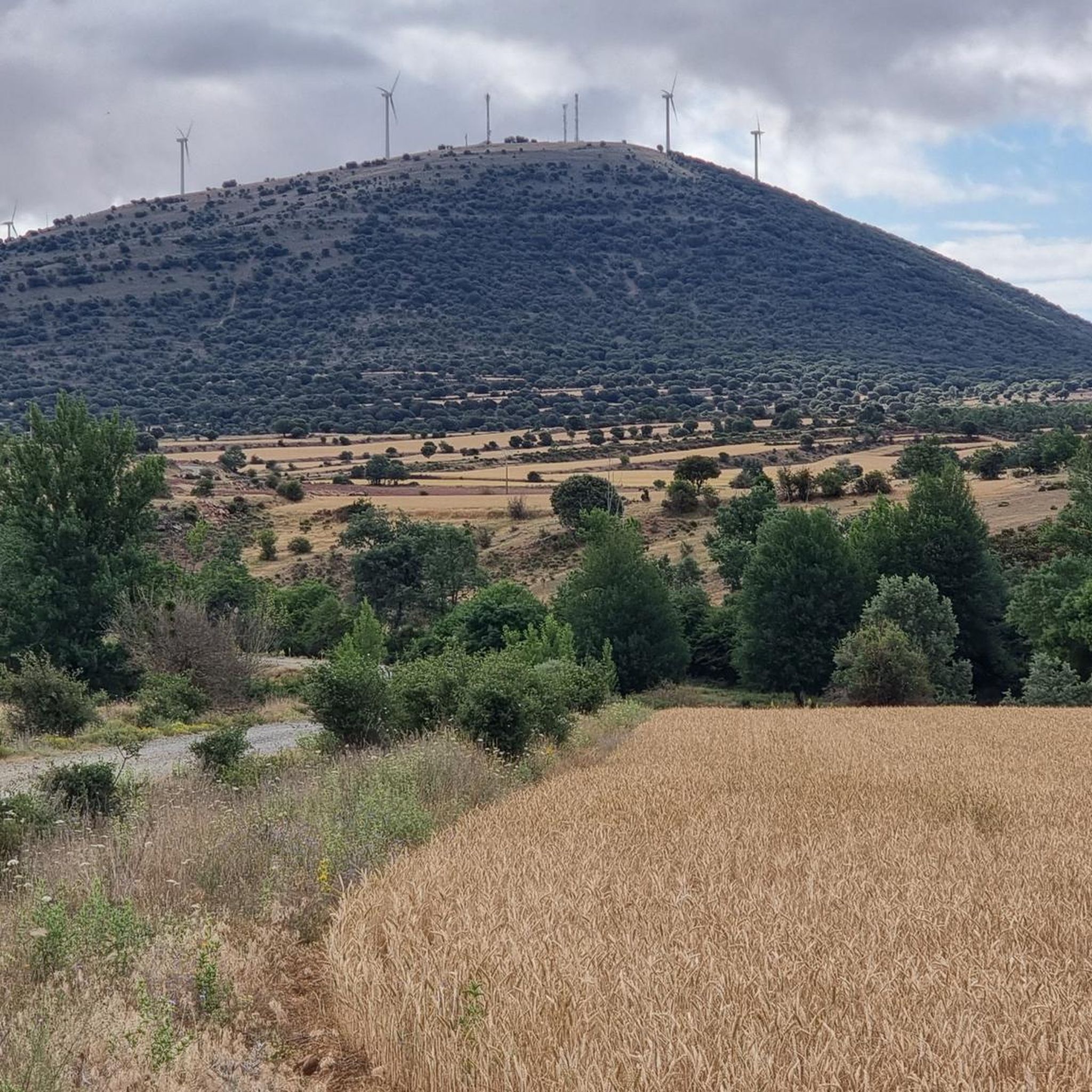
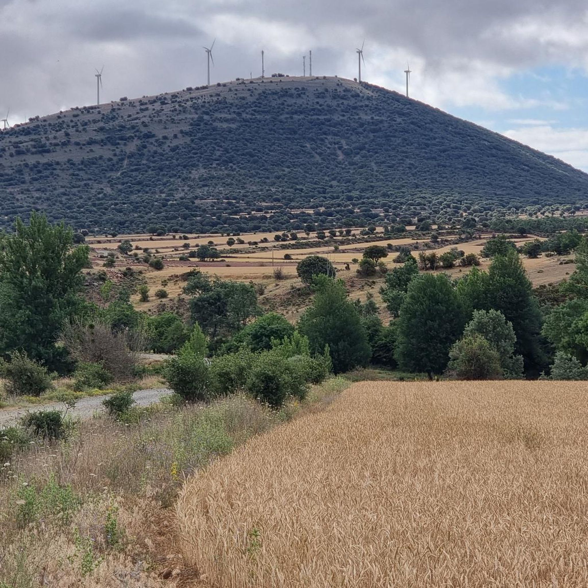
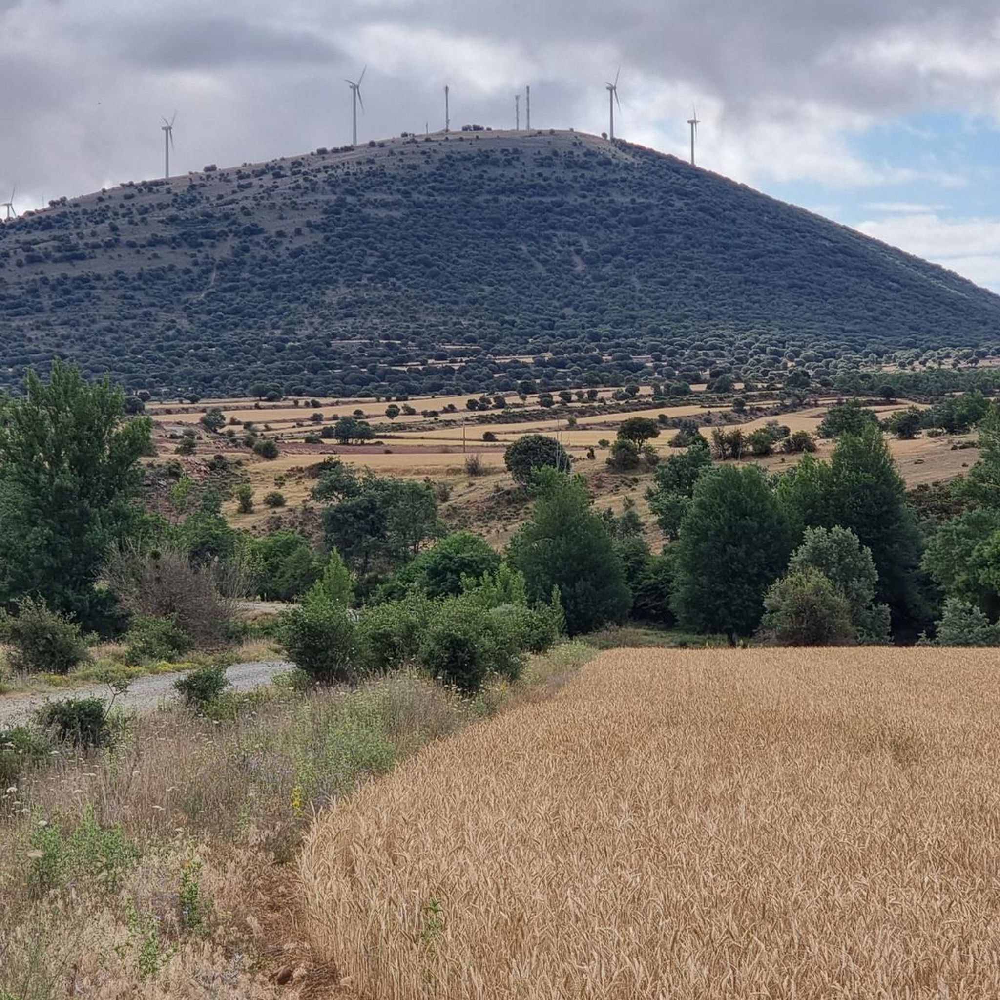
From the top of Alto de la Cruz, the beautiful views we have of the surrounding landscape stand out. At the very top, a Celtic Castro awaits us.
2
0
Near the car park of the Acebal de Garagüeta Natural Reserve, there is this great viewpoint where we will find an information panel on Acebal.
2
0
Walking along the Senda del Acebal, within the Acebal de Garagüeta Nature Reserve, we come across this beautiful hut that will come in handy in case we want to take shelter.
2
0
Beautiful picture that we found rolling next to the Duero river through some picturesque wooden walkways.
1
0
Frequently Asked Questions
What types of running experiences can I expect in Los Villares de Soria?
Los Villares de Soria offers a tranquil rural atmosphere with diverse running experiences. You'll find paths along the Villares River and nearby Merdancho River, as well as unpaved roads and tracks through extensive agricultural land and pine forests. The terrain varies, providing options for different ability levels, from routes with minimal elevation change to those with notable climbs.
How many running routes are available around Los Villares de Soria?
There are 5 dedicated running routes around Los Villares de Soria listed on komoot. These routes cater to various fitness levels, including moderate and difficult options.
Are there running routes suitable for beginners or those looking for an easier run?
While all routes require some effort, options like the Campamento Romano Alto Real loop from Garray offer minimal elevation change, making them more accessible for those seeking a less strenuous run. This route is 6.7 miles (10.8 km) long and is rated as moderate.
What kind of terrain will I encounter on the running trails?
The running trails in Los Villares de Soria primarily feature unpaved roads and tracks through agricultural fields and pine forests. You can also expect paths along riverbanks, such as the Villares River and Merdancho River. The broader Soria province, accessible from Los Villares de Soria, also offers trails along the Duero River and through areas like Mount Valonsadero with varied landscapes.
Are there any circular running routes in the area?
Yes, several routes are designed as loops, offering a convenient circular experience. For example, the Castro Alto de la Cruz Loop is a moderate 5.4-mile (8.6 km) route, and the Garray – Stone Bridge of Soria loop from Garray provides a longer, more challenging 10.6-mile (17.0 km) circular run.
What interesting landmarks or natural features can I see while running?
While running, you can explore the natural beauty of the region, including river systems like the Villares and Merdancho Rivers, and extensive pine forests. Nearby attractions that can be incorporated into longer runs or visited separately include the Numantia Archaeological Site, the historic Church, Medieval Bridge, and Stele of Renieblas, and the Stone Bridge over the Tera River. The village of Garray is also a notable historical site.
When is the best time of year to go running in Los Villares de Soria?
Los Villares de Soria, situated in the province of Soria, Spain, offers a captivating setting for outdoor activities throughout much of the year. Spring and autumn generally provide the most pleasant temperatures for running. The region's natural landscapes, including river systems and pine forests, offer scenic beauty in all seasons, though winter runs might require appropriate gear for colder conditions.
Are the running routes in Los Villares de Soria suitable for families or dogs?
The tranquil rural setting and varied terrain, including unpaved roads and tracks through fields and forests, can be enjoyable for families and dogs. Many of the routes offer a connection with nature. However, it's always recommended to check specific route details for suitability and local regulations regarding dogs, especially in protected natural areas or agricultural zones.
Is parking available near the running routes?
While specific parking details for each route are not provided, Los Villares de Soria is a small municipality with a central landscaped esplanade, suggesting general parking availability within the village. For routes starting from nearby towns like Garray, parking is typically available in or near the town centers.
What do other runners enjoy most about jogging in Los Villares de Soria?
The running routes in Los Villares de Soria are highly rated by the komoot community, with an average score of 5.0 stars from 1 review. Over 100 runners have used komoot to explore the varied terrain, suggesting appreciation for the area's natural beauty and diverse running options.
Are there any longer, more challenging running routes for experienced runners?
Yes, for experienced runners seeking a challenge, routes like the Garray – Stone Bridge of Soria loop from Garray, at 10.6 miles (17.0 km), and the Garray – Alto Real Camp loop from Garray, at 11.6 miles (18.6 km), are rated as difficult. These provide longer distances and varying elevation profiles for a more demanding workout.
Can I combine running with exploring historical sites?
Absolutely. The region is rich in history. For instance, the Garray – Stone Bridge of Soria loop from Garray connects Garray with the historic Stone Bridge of Soria. Additionally, the Campamento Romano Alto Real loop from Garray takes you through areas near the Roman camp, offering a blend of exercise and historical exploration.
Most popular routes around Los Villares De Soria
Most popular attractions around Los Villares De Soria

Get inspired with the komoot mobile app


Explore more
Browse the best Running Trails & Routes in other regions.
