The best walks and hikes around Ormaiztegi
4.4
(235)
2,219
hikers
230
hikes
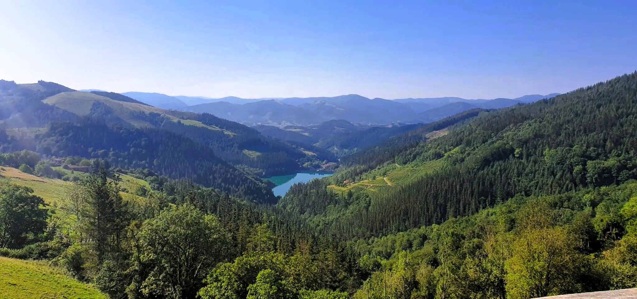
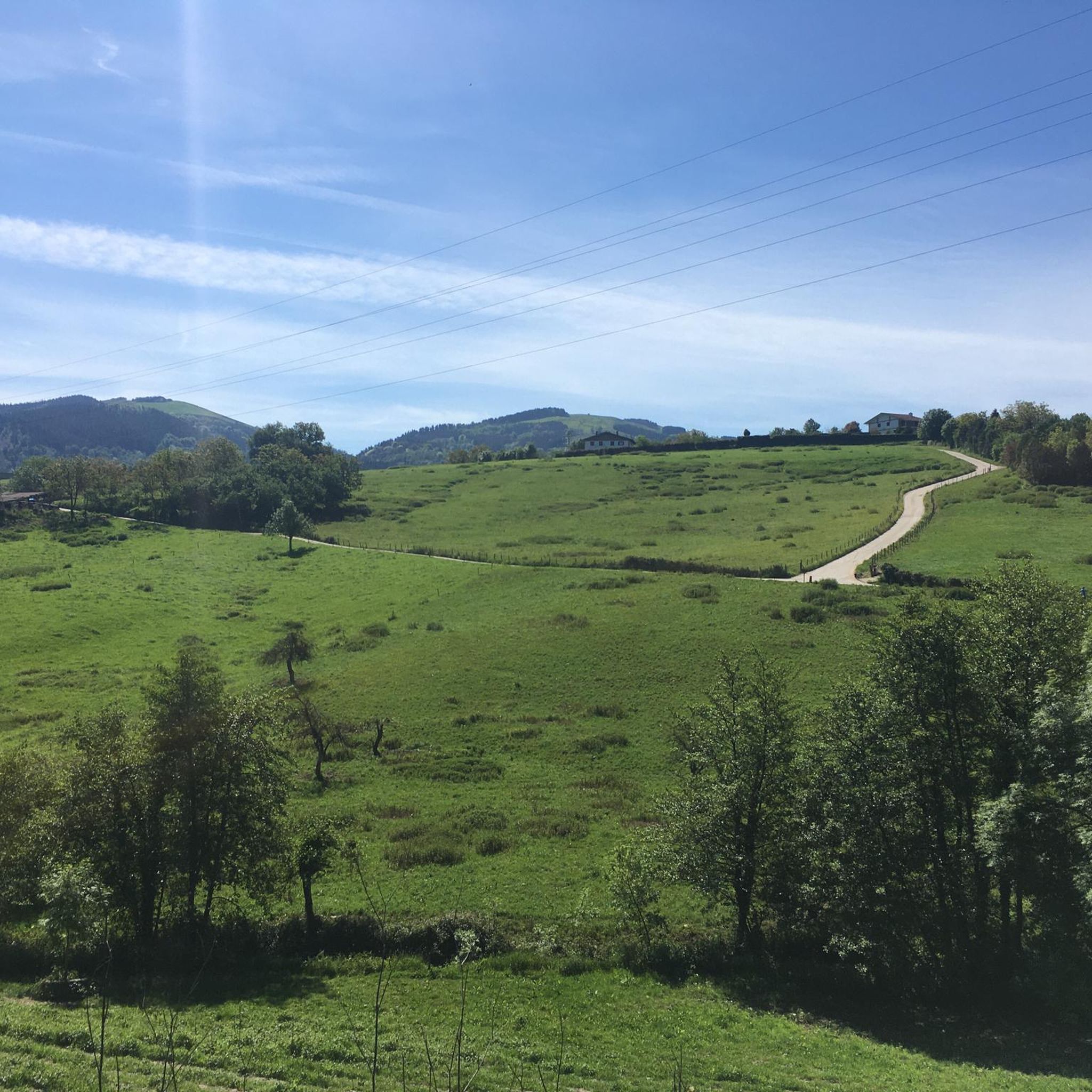
Hiking trails around Ormaiztegi are set within a mountainous environment in the Goierri region of Gipuzkoa. The area is characterized by hills, which comprise 84% of the elevation, and low mountains, with 53.5% of the land covered by forests. The Eztanda River flows through the region, adding to its natural features. Ormaiztegi is also located near the Aralar and Aizkorri natural parks, offering diverse landscapes for exploration.
Best hiking trails around Ormaiztegi
- The most popular hiking route is Aizpea Lime…
Last updated: October 5, 2026
5.0
(3)
28
hikers
15.7km
05:18
710m
710m
Hard hike. Very good fitness required. Mostly accessible paths. Sure-footedness required.
4.0
(1)
21
hikers
11.9km
04:10
600m
600m
Moderate hike. Good fitness required. Mostly accessible paths. Sure-footedness required.

4.0
(1)
17
hikers
9.88km
02:55
290m
290m
Moderate hike. Good fitness required. Easily-accessible paths. Suitable for all skill levels.
5.0
(1)
17
hikers
14.3km
03:59
270m
270m
Moderate hike. Good fitness required. Easily-accessible paths. Suitable for all skill levels.
3.0
(1)
12
hikers
11.7km
03:02
70m
70m
Moderate hike. Good fitness required. Easily-accessible paths. Suitable for all skill levels.
Get access to more routes and recommendations from other explorers.
Already have an account?
Our route recommendations are based on thousands of hikes, rides, and runs completed by other people on komoot.
Start today with a free account
Your next adventure awaits.


Other adventures around Ormaiztegi

Tips from the Community

One of the emblematic mountains of the area, and which gives its name to the Axari trail, this is the fox's path, a symbol of Idiazabal.
1
0
With a rather tough climb.
1
0
The first summit on the ascent of the Axari trail.
1
0
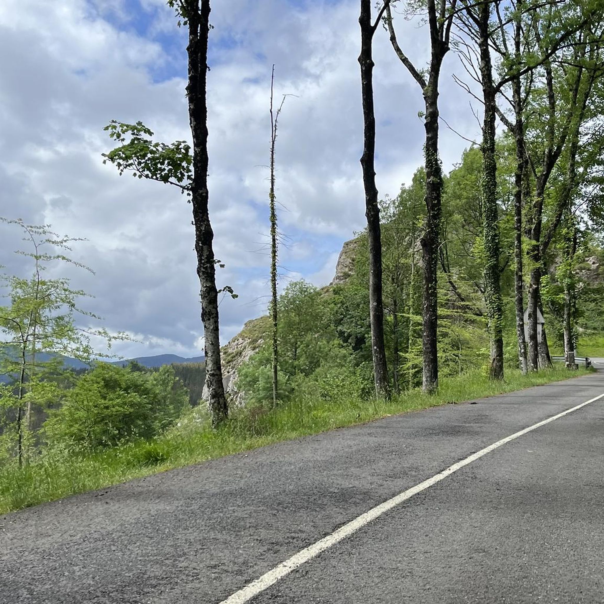
On a stretch of the Camino de Santiago.
0
0

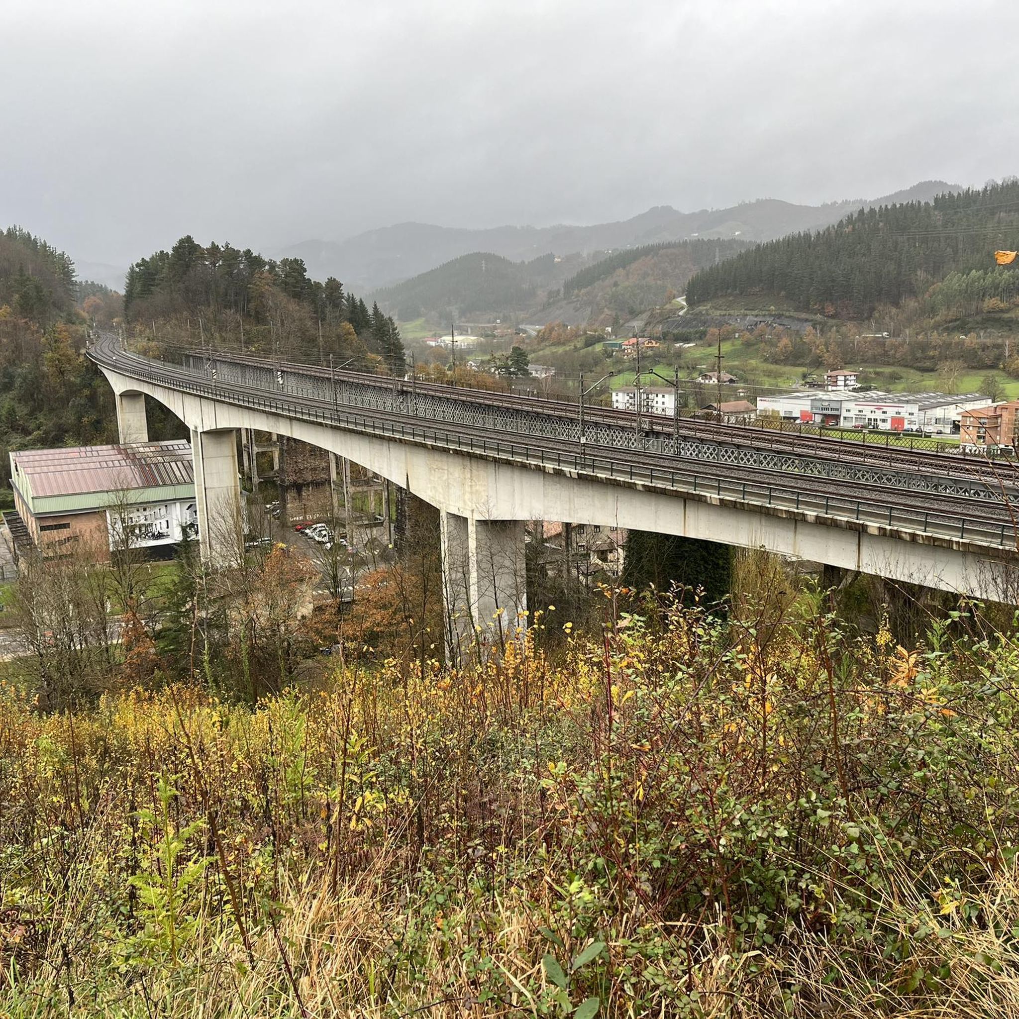
The Ormaiztegi Viaduct (inaugurated on August 15, 1864) is the town's most emblematic symbol. Designed by engineer Alexander Lavalley, a predecessor of Gustave Eiffel, it stands in a beautiful landscape overlooking the Eztanda River. It is the most important structure on the Madrid-Paris railway line, spanning 289 meters in length and 34 meters in height. Its 18,000 tons are supported by four pillars. The double track was installed in 1912 and electrified in 1928. It is currently disused and forms part of the Basque Country's cultural heritage.
0
0

Now that's what I call a graphite
1
0
directly in front of the church
1
1
Frequently Asked Questions
What kind of terrain can I expect on hiking trails around Ormaiztegi?
The hiking trails around Ormaiztegi are primarily set within a mountainous environment, characterized by hills (84% of elevation) and low mountains (11%). You'll find extensive forests covering over half the land, and the Eztanda River adds to the scenic beauty. The region is also close to the Aralar and Aizkorri natural parks, offering diverse landscapes from verdant valleys to higher peaks.
How many hiking trails are available in Ormaiztegi?
There are over 200 hiking routes available around Ormaiztegi. These range from easy walks to more challenging trails, ensuring options for various ability levels. Specifically, you'll find 37 easy routes, 117 moderate routes, and 49 difficult routes.
Are there any family-friendly hiking options in Ormaiztegi?
Yes, the Goierri region, where Ormaiztegi is located, is well-equipped with marked hiking routes suitable for all skill levels, including families and beginners. Many trails offer accessible paths, such as the Greenway Mutiloa-Ormaiztegi, which provides a well-maintained option for a pleasant family walk.
What are some notable landmarks or attractions I can see while hiking in Ormaiztegi?
Ormaiztegi offers several historical and natural landmarks. The iconic Ormaiztegi Viaduct is a prominent feature, and you can explore the historical Aizpea Lime Kilns. Other points of interest include the Igartza Monumental Complex, and the Zumalakarregi Museum in town. For those seeking higher views, nearby summits like Aketegi Summit or Trintxuleku Summit offer panoramic vistas.
Are there any circular hiking routes around Ormaiztegi?
Yes, many routes around Ormaiztegi are designed as loops. For example, the Ormaiztegi Viaduct – Frontón Urbeltz Ormaiztegi loop from Mutiloa is a moderate 14.3 km trail that offers views of the viaduct. Another option is the Igartza Monumental Complex – Ordizia loop from Beasain, a moderate 11.1 km route.
What is the best time of year to go hiking in Ormaiztegi?
Ormaiztegi's verdant setting, with extensive forests and proximity to natural parks, makes it an appealing destination for hiking across multiple seasons. Spring and autumn generally offer pleasant temperatures and vibrant natural colors. Summer can be warm but provides long daylight hours, while winter can be suitable for hiking, especially at lower elevations, though higher areas might experience colder conditions.
What do other hikers say about the trails in Ormaiztegi?
The hiking routes in Ormaiztegi are highly rated by the komoot community, with an average score of 4.6 stars from over 200 reviews. More than 1,800 hikers have used komoot to explore the varied terrain, often praising the region's natural beauty, diverse landscapes, and well-maintained paths.
Are there any long-distance trails that pass through Ormaiztegi?
Yes, Ormaiztegi is located on the inland route of the Way of St. James (Camino de Santiago). This makes it a convenient stop for pilgrims and provides access to this historic long-distance trail for those interested in exploring sections of it.
Can I find trails that offer views of the Eztanda River?
Absolutely. The Eztanda River flows through the Ormaiztegi area, adding to its scenic beauty. Several trails, such as the Ormaiztegi Viaduct – Frontón Urbeltz Ormaiztegi loop from Mutiloa, lead through areas with views of the river, often alongside the iconic Ormaiztegi Viaduct.
What is the longest difficult hike available in the area?
For a challenging experience, consider the Ordizia – Igartza Monumental Complex loop from Olaberria. This difficult route spans 22.9 km (14.2 miles) and typically takes around 6 hours and 17 minutes to complete, offering varied terrain and passing by the Igartza Monumental Complex.
Are there any trails that explore the region's industrial heritage?
Yes, you can explore the region's industrial past on trails like the Aizpea Lime Kilns – Zerain loop from Mutiloa. This moderate 9.9 km route takes you through a natural setting while offering a glimpse into the historical Aizpea Lime Kilns.
Most popular attractions around Ormaiztegi

Get inspired with the komoot mobile app


Explore more
Browse the best Hikes in other regions.
