The best walks and hikes around Pedro Martínez
4.5
(28)
129
hikers
8
hikes
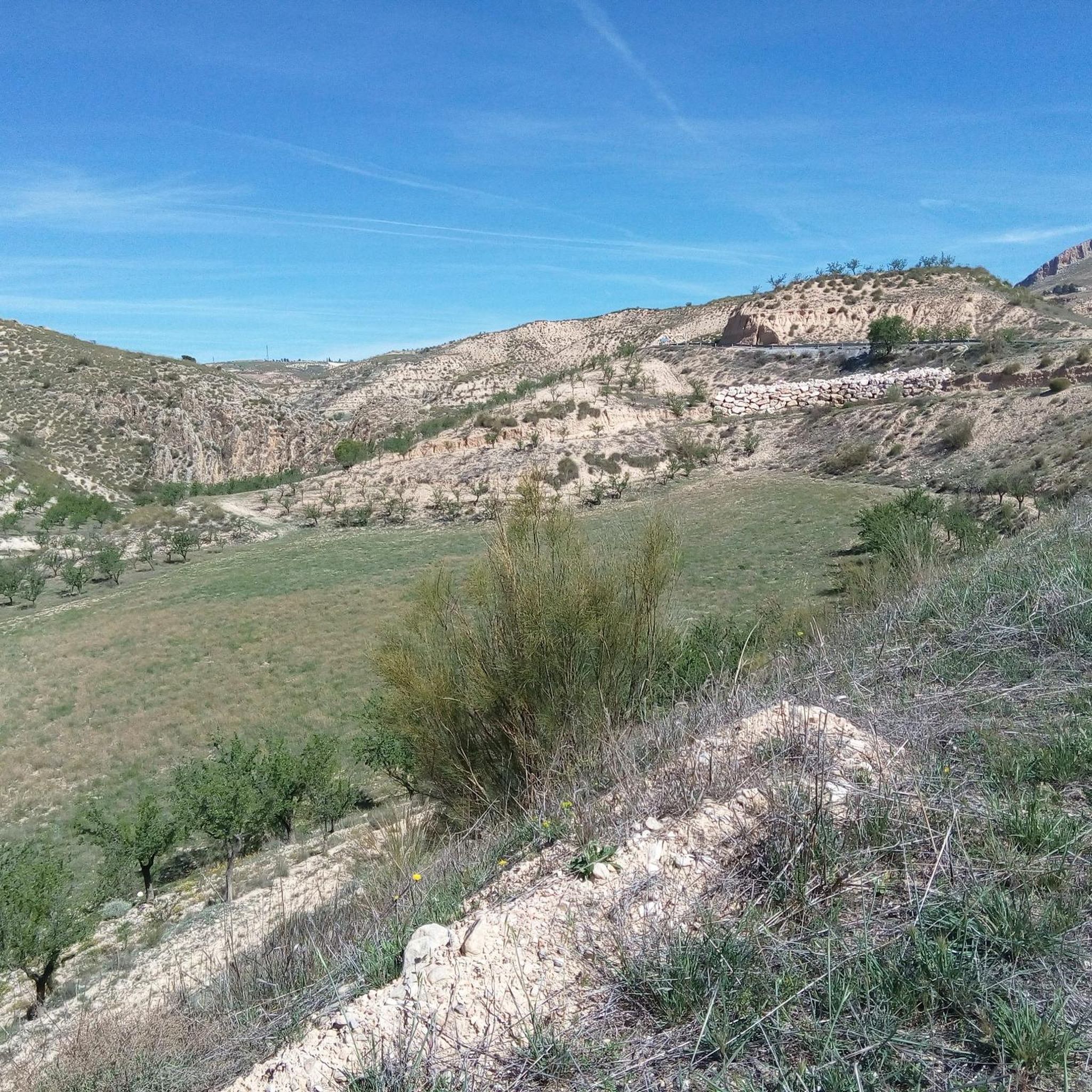
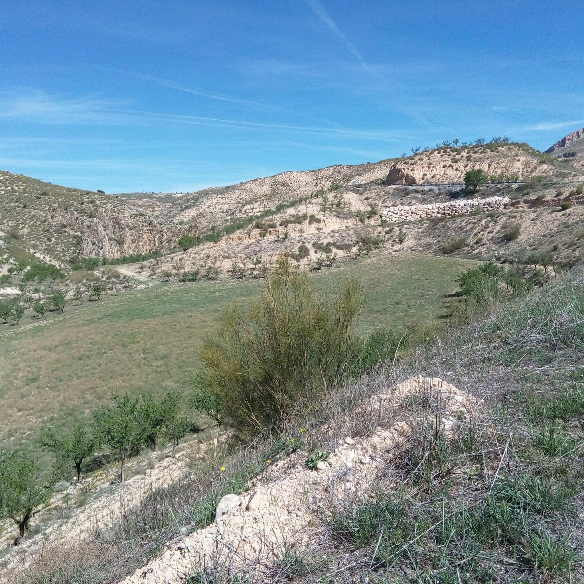
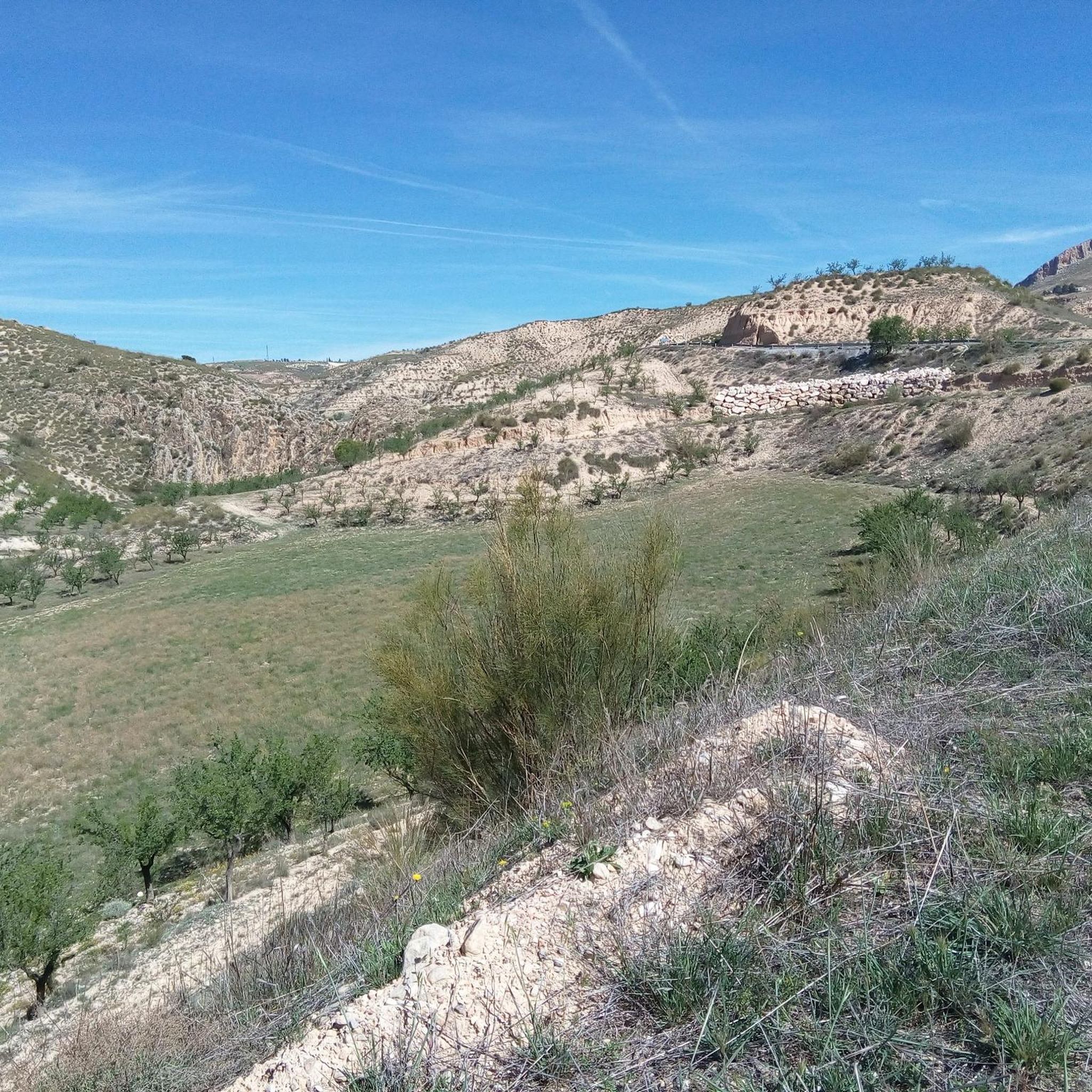
Hiking around Pedro Martínez offers diverse terrain in the province of Granada, Spain, situated at an altitude of 1035 meters. The region features dramatic natural landscapes, including Mount Mencal, which rises to 1442 meters, and the unique badlands formations of the Gorafe Desert. This area is characterized by canyons, ravines, and geological features sculpted by erosion, providing varied environments for outdoor exploration.
Best hiking trails around Pedro Martínez
- The most popular hiking route is Balsa de repelón – Mirador de…
Last updated: June 27, 2026
4.9
(15)
60
hikers
Moderate hike. Good fitness required. Easily-accessible paths. Suitable for all skill levels.
3.8
(4)
23
hikers
6.70km
01:56
170m
170m
Easy hike. Great for any fitness level. Easily-accessible paths. Suitable for all skill levels.

Sign up for free
4.5
(6)
26
hikers
2.51km
00:44
70m
70m
Easy hike. Great for any fitness level. Easily-accessible paths. Suitable for all skill levels.
4.5
(2)
8
hikers
Easy hike. Great for any fitness level. Easily-accessible paths. Suitable for all skill levels.
2
hikers
16.4km
04:33
290m
290m
Moderate hike. Good fitness required. Easily-accessible paths. Suitable for all skill levels.
Get access to more routes and recommendations from other explorers.
Sign up for free
Already have an account?
Our route recommendations are based on thousands of hikes, rides, and runs completed by other people on komoot.
Start today with a free account
Your next adventure awaits.
Login or Signup
Popular around Pedro Martínez
Tips from the Community

Very nice little place with the best view.
0
0

Hydrogeological studies show that the thermal waters of Alicún de las Torres come mainly from the carbonate aquifer of the Sierra de Baza and, to a lesser extent, from the waters of the Mencal aquifer. Scientists estimate that the aquifer is located at a depth of at least 650 to 800 meters.
7
0
The Troil Canal. According to scientists, they date back at least 3600 years ago. Due to the precipitation of calcium carbonate, these canals grew and continuously formed these amazing walls (some of them are 4 meters wide at the base, less than a meter wide at the top, 15 meters high and reach a length of almost 750 meters
6
0

Special natural source that is many decades old and continues to grow due to natural lime deposits from the water.
2
0

The Acequia del Toril is a porous limestone aqueduct, more than 1.5 km long and more than 10 meters high at some points. Its natural construction over millennia has been used since prehistoric times to supply a settlement from one of the eight nearby hot springs. This meandering geological formation, with walls up to three meters thick, remains an impressive testament to natural engineering and human use of water.
4
0
A very interesting natural phenomenon that goes back to the first humans and beyond. An old calcareous water source that has been building itself for many thousands of years to the wall it has become today. At the top, the water still flows abundantly through the source. The water is still clearly visible on the road side, as the surrounding ground is even higher.
2
0
Special natural phenomenon that goes back to the first people and beyond. An old calcareous spring that has been building itself for many thousands of years to the wall it has become today. At the top, the water still flows abundantly through the source. The water is still clearly visible on the road side, as the surrounding ground is even higher.
1
0
Beautiful area of clayey soil located in Gorafe. It receives the name of Los Coloraos due to the color of the geological formations. Sunrise and sunset are especially ideal to enjoy this natural wonder in all its splendor.
4
0
Frequently Asked Questions
What types of landscapes can I expect to see while hiking around Pedro Martínez?
The region offers a dramatic mix of mountain scenery and unique desert badlands. You'll find yourself traversing areas like Mount Mencal, which provides panoramic views, and the striking Gorafe Desert, known for its 'badlands' formations of canyons, ravines, and hoodoos, often compared to the Grand Canyon due to its red hues.
Are there any easy hiking trails suitable for beginners or families?
Yes, Pedro Martínez offers several easy routes. For instance, the Acequia del Toril – Acequia del Toril loop from Cerro de la Raja is an easy 6.7 km (4.2 miles) trail that takes about 2 hours to complete, leading through varied natural scenery.
Can I find trails that feature waterfalls in the Pedro Martínez area?
Yes, the region is home to picturesque waterfalls by 'La Campana'. These serene spots offer a refreshing natural feature to discover during your hike, providing a lovely contrast to the more arid desert landscapes.
What historical sites or landmarks can I explore on the trails?
Pedro Martínez is rich in history. You can encounter ancient megalithic tombs in areas like 'The Plateau' and 'La Campana', including the Dólmenes del Mencal. The area also features an ancient Arabic watch tower, 'Atalaya Chimeneilla', offering glimpses into the region's past as you hike.
Are there any circular hiking routes available?
Yes, many routes in the area are designed as loops. A popular moderate option is the Balsa de repelón – Mirador de la Escalerilla loop from Pedro Martínez, which is 15.6 km (9.7 miles) long and offers diverse views.
What do other hikers say about the trails in Pedro Martínez?
The hiking routes in Pedro Martínez are highly regarded by the komoot community, with an average rating of 4.6 stars from over 20 reviews. Hikers often praise the varied terrain, from mountain views to the unique badlands, and the opportunity to explore both natural beauty and historical sites.
Are there any trails that take me through the Gorafe Desert?
Absolutely. The Gorafe Desert is a major highlight. You can explore its distinctive 'badlands' terrain on routes such as the moderate Badlands of Granada Geopark loop from SL-A 278 Cañada de la Ventanilla - Campillos, which is 9.3 km (5.8 miles) long.
What is the best time of year to go hiking in Pedro Martínez?
The region's climate makes spring and autumn ideal for hiking, offering pleasant temperatures. During certain seasons, you might also witness expansive sunflower fields, adding to the scenic beauty. Summers can be very hot, especially in the desert areas, while winters are generally mild but can be cooler at higher altitudes like Mount Mencal.
Are there good viewpoints along the hiking trails?
Yes, the area is known for its spectacular views. Mount Mencal provides breathtaking panoramic vistas of the surrounding landscape. Additionally, highlights like the Puntal de Don Diego Viewpoint offer stunning perspectives, especially over the Gorafe Desert at sunrise or sunset.
Is it possible to find dog-friendly hiking trails in Pedro Martínez?
While specific dog restrictions can vary by trail, many natural areas in Spain are generally welcoming to well-behaved dogs on a leash. It's always recommended to check local signage or specific route details on komoot for any particular regulations regarding pets, especially in protected natural parks.
Where can I park my car when hiking in Pedro Martínez?
Parking is generally available in and around the village of Pedro Martínez, often near trailheads or in designated public areas. For specific routes, it's advisable to check the tour details on komoot, as many routes provide information on suitable starting points and parking options.
What is the general difficulty level of hikes in this region?
The hiking network around Pedro Martínez caters to various abilities. You'll find a good mix of easy walks, such as the shorter loops around Acequia del Toril, and moderate ascents, including trails that explore Mount Mencal or the Gorafe Desert. There are no highly difficult trails listed in the immediate vicinity, making it accessible for most hikers.
Most popular attractions around Pedro Martínez

Get inspired with the komoot mobile app


Explore more
Browse the best Hikes in other regions.
