The best running trails around Murieta
4.2
(8)
949
runners
90
runs
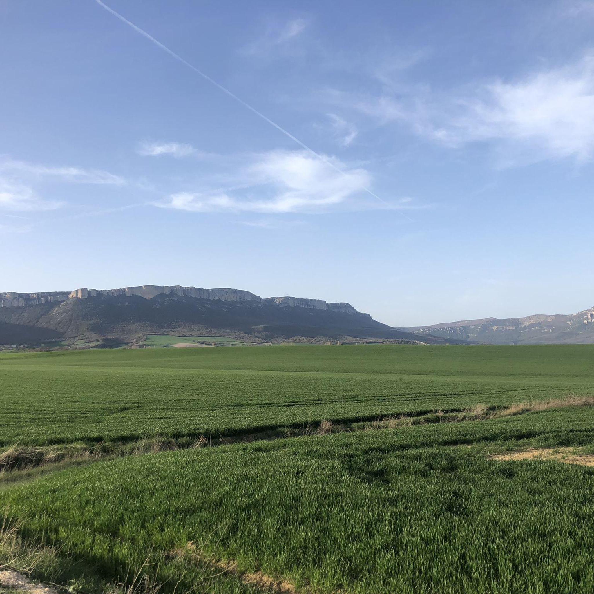
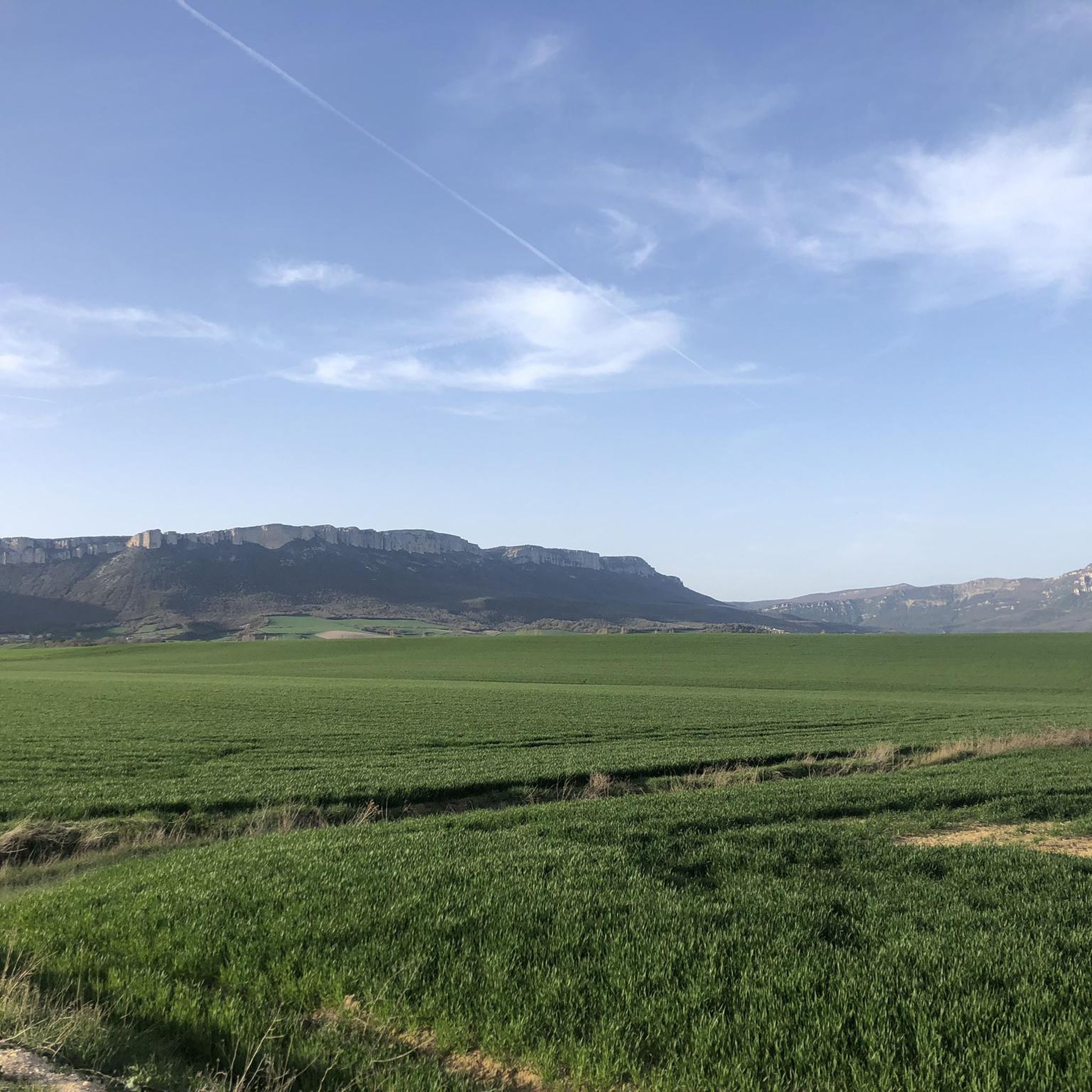
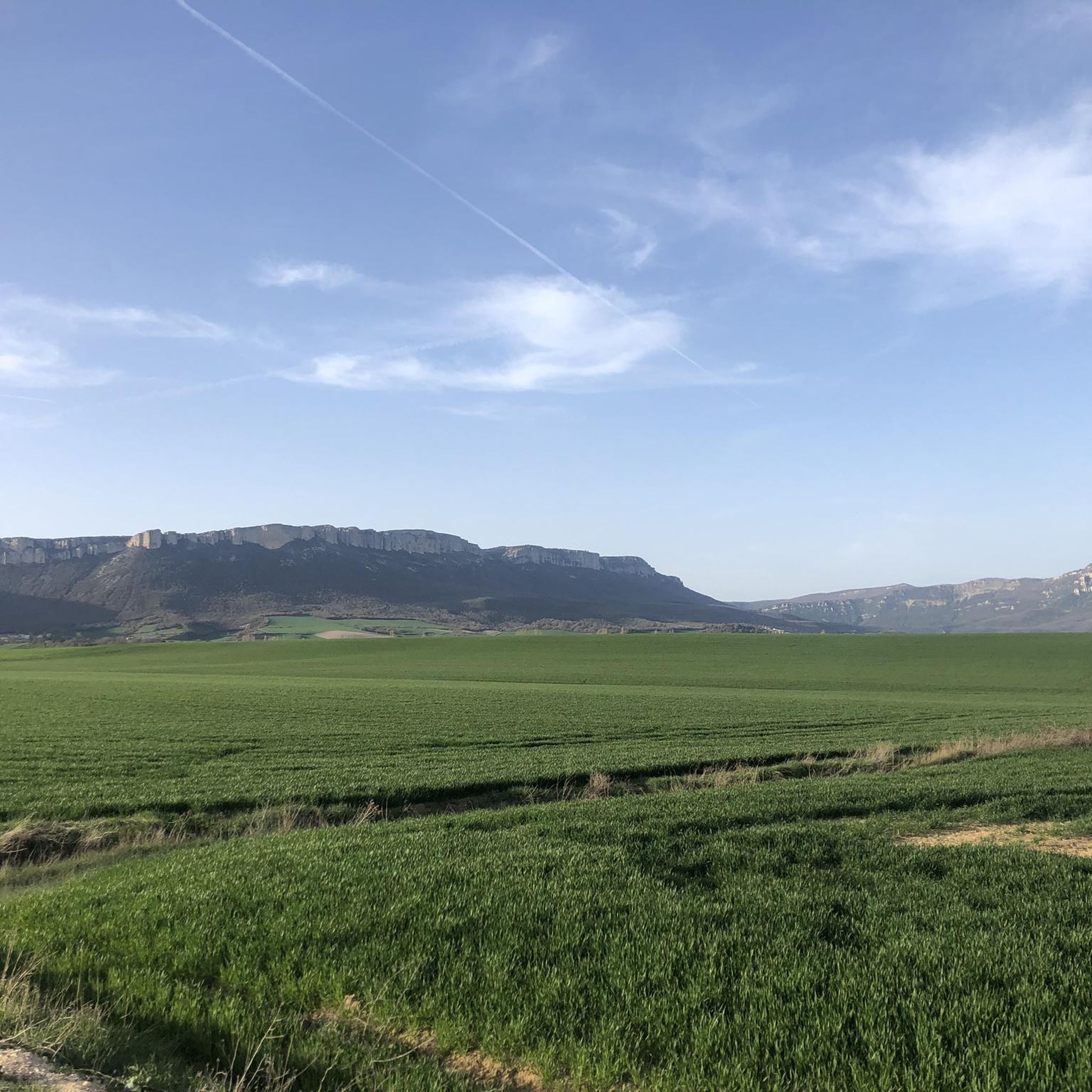
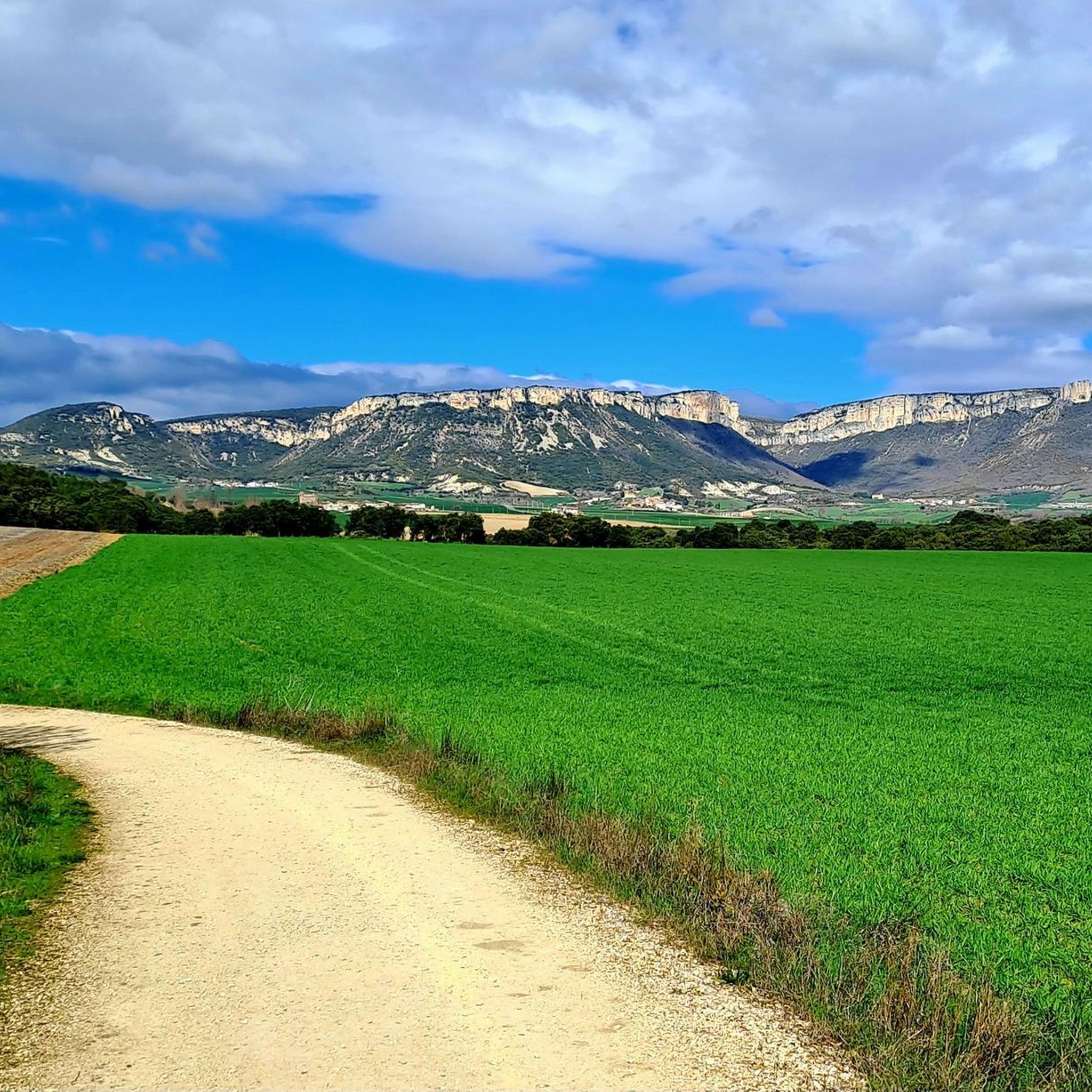
Jogging around Murieta offers a variety of routes through a landscape characterized by hills and agricultural areas. The region features trails that traverse open fields and connect small towns. This environment provides diverse options for runners seeking different levels of challenge and scenery.
Best jogging routes around Murieta
- The most popular jogging route is TC3 Enduro Freeland loop from Ancín / Antzin, a 14.3 miles (22.9 km) trail that takes 3 hours 2 minutes to complete. This difficult route…
Last updated: August 22, 2026
28
runners
22.9km
03:03
770m
770m
Hard run. Very good fitness required. Mostly accessible paths. Some sure footedness required.
21
runners
40.8km
04:45
780m
780m
Hard run. Very good fitness required. Mostly paved surfaces. Suitable for all skill levels.

Sign up for free
17
runners
9.16km
01:08
250m
250m
Moderate run. Good fitness required. Mostly paved surfaces. Suitable for all skill levels.
9
runners
13.6km
01:46
540m
540m
Hard run. Very good fitness required. Mostly accessible paths. Some sure footedness required.
7
runners
6.12km
00:43
100m
100m
Moderate run. Good fitness required. Mostly paved surfaces. Suitable for all skill levels.
Get access to more routes and recommendations from other explorers.
Sign up for free
Already have an account?
Our route recommendations are based on thousands of hikes, rides, and runs completed by other people on komoot.
Start today with a free account
Your next adventure awaits.
Login or Signup
Tips from the Community

It is located in a playground
0
0

Exterior of the monastery of Santa María de Iratxe. If you can, visit the interior as well.
2
0

Don't arrive too late: after a certain amount/day, no more wine will be delivered....
3
0

A very nice little place with a beautiful church that is definitely worth a visit
1
0

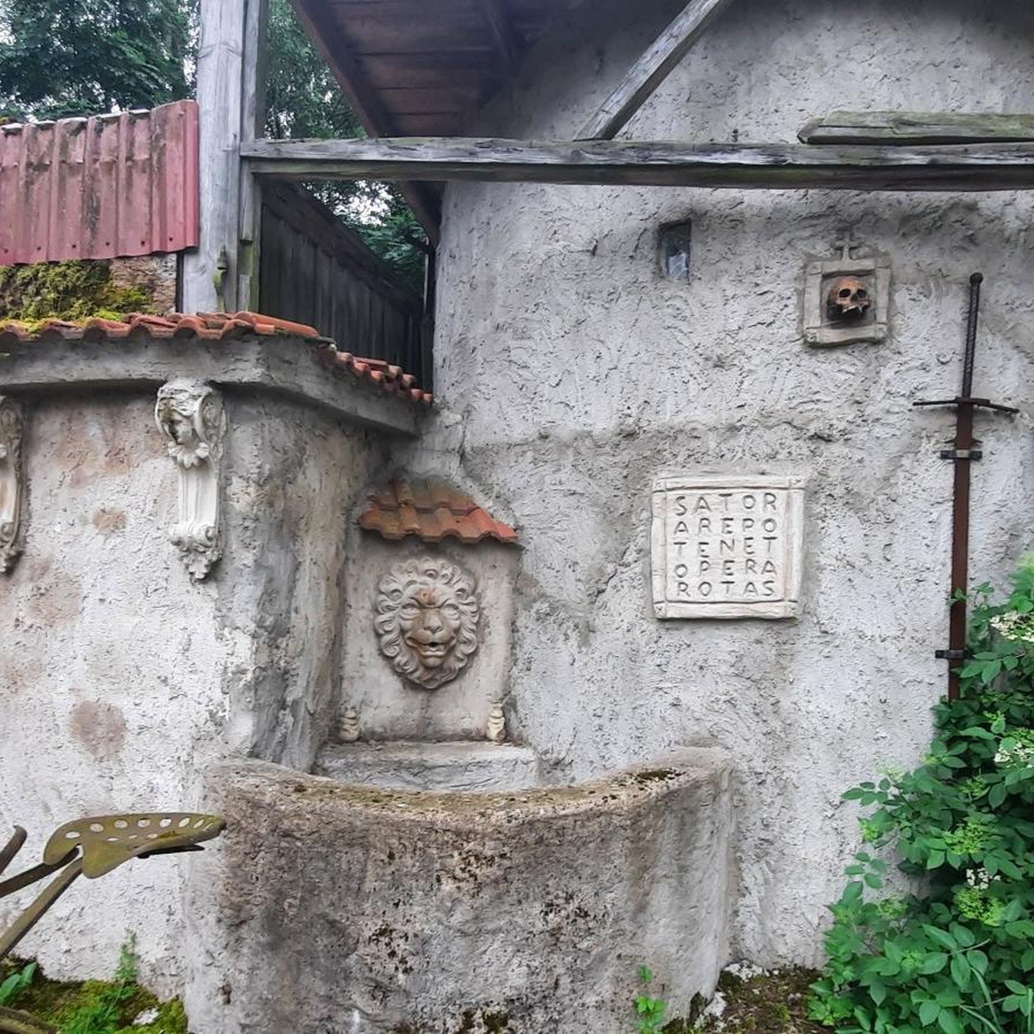
The pilgrim can draw either from a small fountain from which wine flows, or from another from which simple water flows.
7
0
Cloister of the Basilica of Santa Maria
5
1

The monastery was first mentioned in documents in 953, and a pilgrim hospice had existed here since 1054. The church, which is worth seeing, was built in the 13th century. Here you will also find the wine source "Bodegas Irache" for a free sip straight from the tap
2
0
The wine source of the "Bodegas Irache" is a unique curiosity on the Way of St. James. It is located just before the monastery and every pilgrim can drink wine there for free to fortify themselves. However, bottling is not desired
2
0
Frequently Asked Questions
What types of jogging routes can I find in Murrieta?
Murrieta offers a diverse network of over 25 miles of trails, catering to various preferences. You'll find everything from flat, paved multi-use paths perfect for speed training to undulating dirt trails that provide a softer surface for recovery runs and strength building. The city has invested significantly in its parks and recreation infrastructure, ensuring a wide array of options for all fitness levels.
Are there any family-friendly running trails in Murrieta?
Yes, Murrieta has several family-friendly options. Parks like California Oaks Sports Park feature expansive green fields and paved pathways ideal for walking or jogging with family. The Murrieta Creek Regional Trail also offers a pleasant, car-free paved path suitable for all ages, with informative panels detailing local history and nature.
Can I bring my dog on the running trails in Murrieta?
Many of Murrieta's trails are dog-friendly, but it's always best to check specific park regulations regarding leashes. Generally, the city's extensive network of trails, including those in parks and open spaces, welcomes leashed dogs. The Los Alamos Hills Sports Park, for instance, is a popular spot with walking trails and loops that many dog owners enjoy.
What are some scenic running routes with good views in Murrieta?
For scenic views, consider trails within the Santa Rosa Plateau Ecological Reserve. Routes like the Granite Loop offer unique granite formations and diverse flora, while ascending Monument Hill provides panoramic views of the plateau and surrounding mountains. The Keller Trail loop also offers sweeping views of the Peninsular Range.
Are there any circular running routes available in Murrieta?
Yes, Murrieta features several excellent loop trails. The Keller Trail loop is a moderate 4.0-mile option with varied terrain. Additionally, the Monroe Avenue and Jackson Avenue Trails form a 1.0-mile loop around a natural water detention basin, offering a chance to spot diverse wildlife and native plant species.
Where can I find trails with natural surfaces for running?
The Santa Rosa Plateau Ecological Reserve is an excellent choice for natural surface trails. Its Sylvan Meadows Multi-Use Area alone provides approximately 10 miles of trails winding through oak trees and prairie landscapes. These undulating dirt trails offer a softer surface, ideal for recovery runs and building strength.
What is the best time of year to go jogging in Murrieta?
Murrieta boasts a desirable Mediterranean climate with an average of 263 sunny days annually, making it suitable for year-round outdoor engagement. Spring is particularly beautiful, known for its vibrant 'golden poppy super bloom' across the region's green spaces. Early mornings or late afternoons are generally best to avoid the midday sun, especially in summer.
Are there any waterfalls or significant natural landmarks to see while running?
While not directly on a jogging route within the city, the spectacular Tenaja Falls, a five-tiered waterfall plunging over 150 feet, is accessible via a scenic hiking trail just outside Murrieta. Within the city, the Santa Rosa Plateau Ecological Reserve offers unique granite formations and expansive oak woodlands as natural landmarks.
Where can I find more information about Murrieta's parks and trails?
For comprehensive information on Murrieta's parks, trails, and recreational amenities, you can visit the official city website. They often provide maps and details on specific routes, including the city's seven designated 'Fitness Routes.' You can find more details at murrietaca.gov.
Are there any beginner-friendly running routes in Murrieta?
Yes, Murrieta offers several options suitable for beginners. The paved pathways at California Oaks Sports Park and Town Square Park are great for leisurely jogs. The Murrieta Creek Regional Trail also provides a relatively flat and easy paved surface, perfect for those starting their running journey.
What do other runners enjoy most about jogging in Murrieta?
The running community in Murrieta highly rates the diverse terrain and well-maintained trails. Reviewers often praise the variety of options, from flat paved paths to challenging dirt trails, and the beautiful natural landscapes, especially within the Santa Rosa Plateau. The city's commitment to green spaces and extensive trail networks is frequently highlighted.
Are there any trails that connect to residential areas?
Yes, the Cole Canyon Trail is a good example, as it's a 3.82-mile trail with several branches that connect directly to residential areas. This provides convenient access for local residents to join the trail network and even link up with the Copper Canyon Trail, which leads further into the Santa Rosa Plateau.
Most popular attractions around Murieta

Get inspired with the komoot mobile app


Explore more
Browse the best Running Trails & Routes in other regions.
