The best road cycling routes around Montemayor Del Río
4.8
(19)
2,589
riders
88
rides
Road cycling around Montemayor Del Río is characterized by its location between the Sierra de Béjar and Sierra de Francia, offering diverse mountainous terrain. The region features challenging ascents with gradients exceeding 15%, alongside scenic paths through chestnut forests and along the Cuerpo de Hombre river. Cyclists encounter varied landscapes, from dense woodlands to areas with impressive granite rock formations. This blend provides a rewarding experience for road cyclists seeking elevation and natural beauty.
Best road cycling routes around Montemayor…
Last updated: October 16, 2026
1
riders
Hard road ride. Very good fitness required. Mostly well-paved surfaces and easy to ride.
109km
06:18
2,580m
2,580m
This difficult 67.7-mile road cycling route climbs to Alto del Travieso, offering panoramic views and challenging gradients through the Sier

49
riders
Moderate road ride. Good fitness required. Some segments of this route may be unpaved and difficult to ride.
37
riders
46.4km
02:29
820m
820m
Moderate road ride. Good fitness required. Some segments of this route may be unpaved and difficult to ride.
22
riders
42.6km
02:24
770m
780m
Moderate road ride. Good fitness required. Some segments of this route may be unpaved and difficult to ride.
Get access to more routes and recommendations from other explorers.
Already have an account?
Our route recommendations are based on thousands of hikes, rides, and runs completed by other people on komoot.
Start today with a free account
Your next adventure awaits.
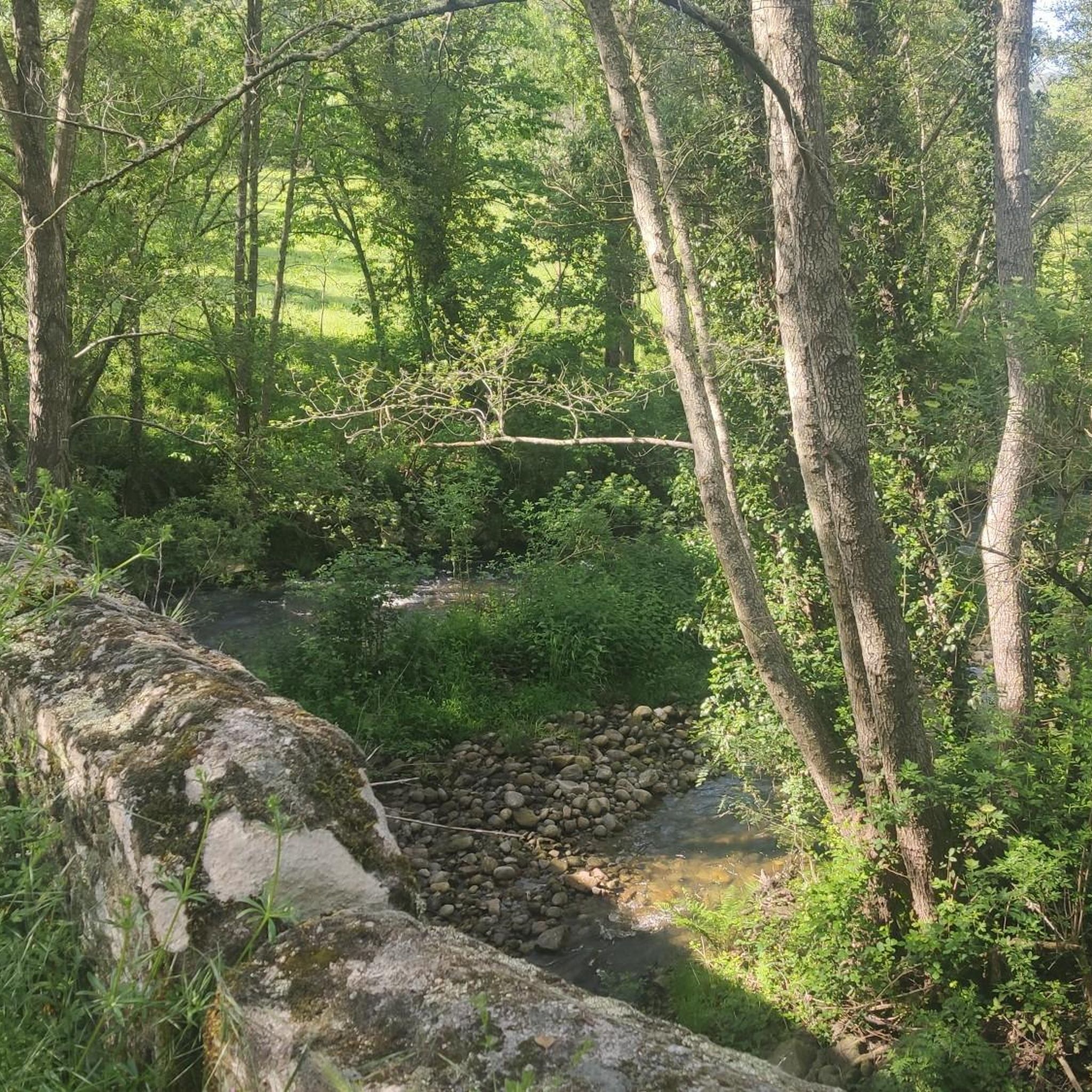
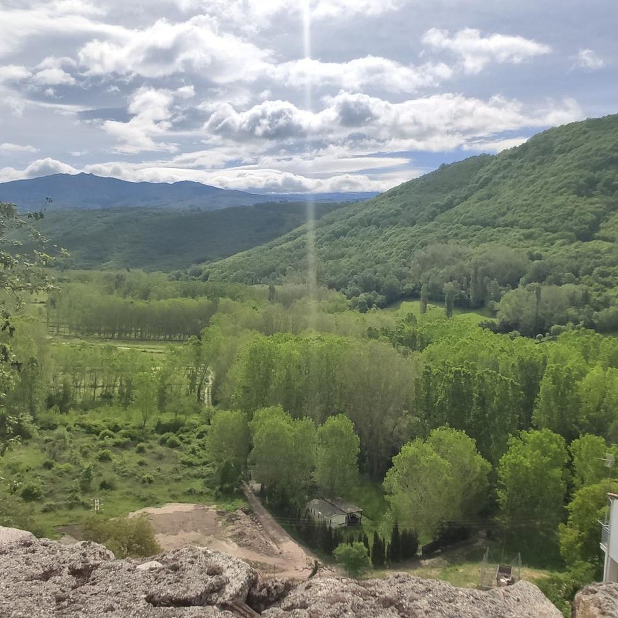
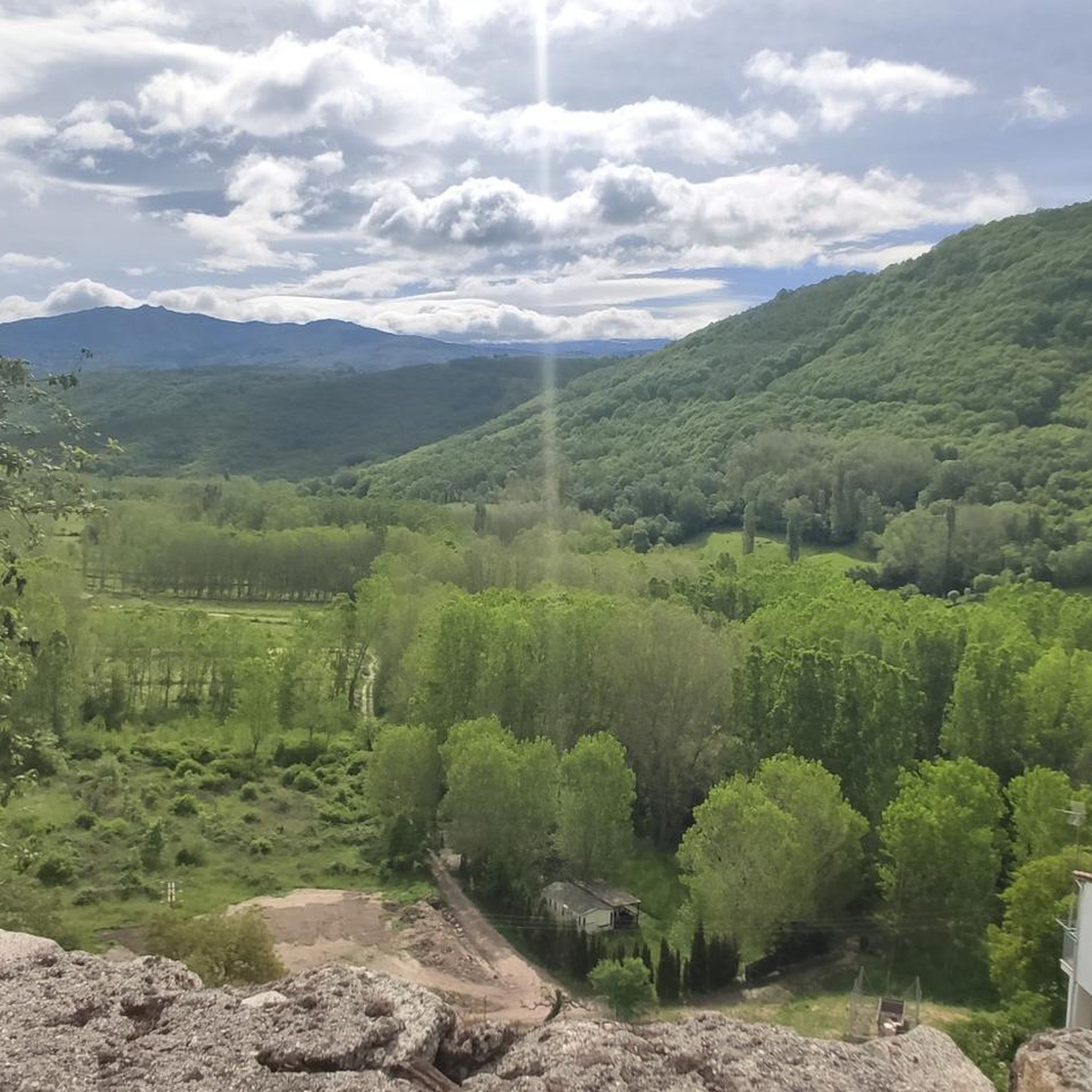
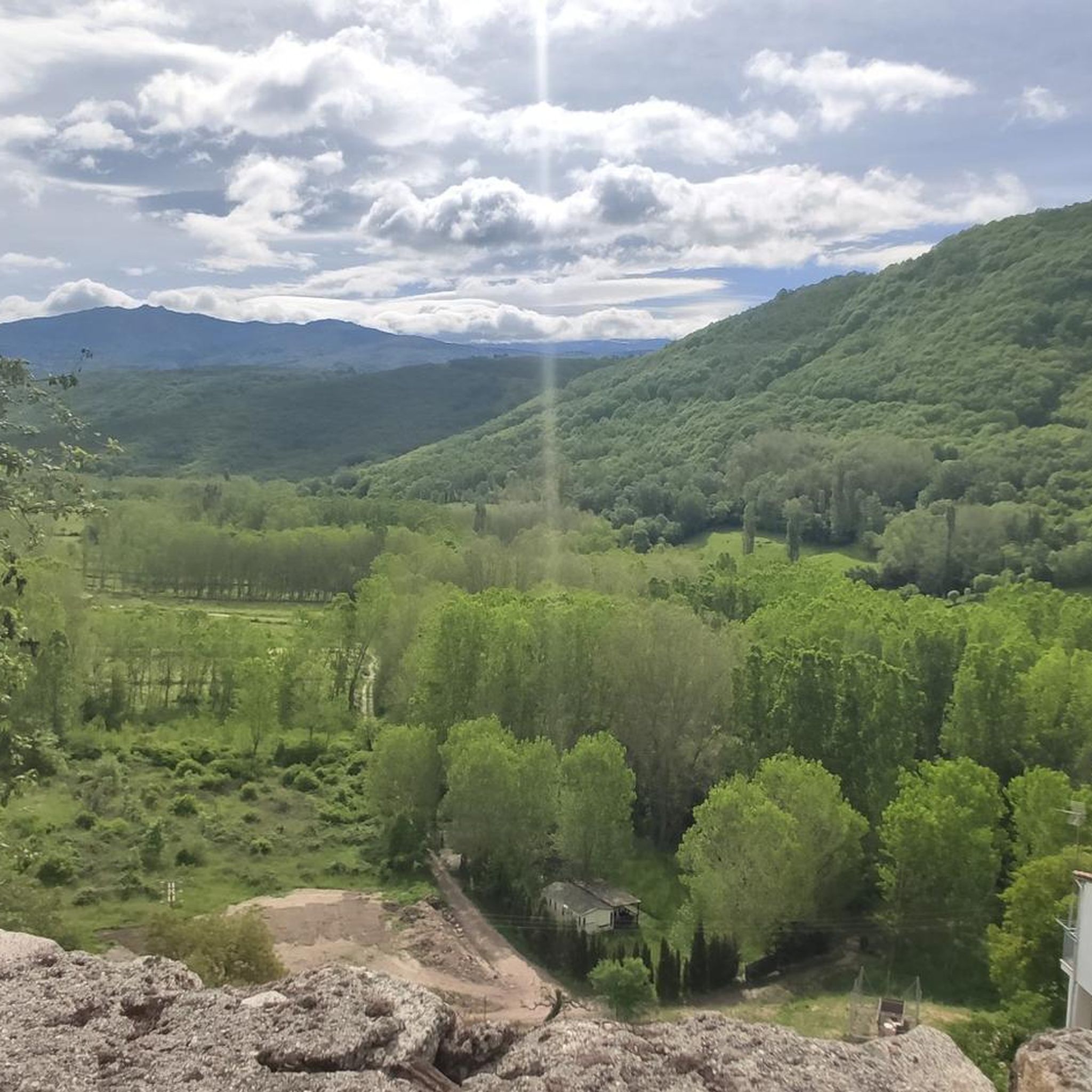

Tips from the Community

Usually cozy here, but today deserted.
10
0

Very close to the Béjar Greenway, ideal for cyclists and hikers who follow the old railway line. Cuisine: Mediterranean and Spanish, with grilled meats, tapas, and traditional dishes. Specialties: Grilled meats (T-bone steak, Iberian pork shoulder). Burgers (including Wagyu). A variety of tapas, croquettes, and salads. Fresh fish and homemade stews.
7
0

Even though this small sacred monument isn't located on the classic Way of St. James through northern Spain, in light of the wayside cross standing here, some thoughts by Hape Kerkeling might be helpful as inspiration. The entertainer, who is particularly famous in Germany, walked the Camino Frances in 2001 and kept a diary, which was published under the title "Ich bin dann mal weg" (I'm off then). In it, he describes his personal encounter with God along the way as follows: "Yesterday, something inside me struck a huge gong. And the sound will reverberate. Sooner or later, this path shakes everyone to their very foundations. I know the sound will slowly fade, but if I listen carefully, I'll be able to hear this reverberation for a very long time to come."
0
0

Easy bike ride. Beautiful nature and views. Hervas is a nice and beautiful city. Bike path on old railway line easily passable. Tunnel was lit (but slippery clay soil with hard grooves, so be careful).
2
0

Abandoned village under reconstruction
0
0

After the town of Abadía, taking the crossroads towards Lagunilla, this stupendous and beautiful port begins. It has spectacular views, but in summer the heat hits it a lot, so before starting to recharge water in Abadia. It has an average slope of about 6% but there are ramps up to 14%. You will soon realize why it is called Los Olivos jjjj
1
0
A lovely area for cycling.
1
0
Nice climb from Montemayor del Rio
1
0
Frequently Asked Questions
What kind of terrain can I expect when road cycling around Montemayor del Río?
Road cycling around Montemayor del Río offers diverse mountainous terrain, situated between the Sierra de Béjar and Sierra de Francia. You'll encounter challenging ascents, some with gradients exceeding 15%, alongside scenic paths through dense chestnut forests and along the Cuerpo de Hombre river. The landscape varies from woodlands to areas with impressive granite rock formations, providing a rewarding experience for cyclists seeking elevation and natural beauty.
Are there challenging climbs for experienced road cyclists in the Montemayor del Río area?
Yes, Montemayor del Río is known as an epicenter for challenging road cycling. The area features several ascents of considerable difficulty, including very tough ramps that can exceed a 15% gradient. Notable climbs like the Alto del Cordel and Alto de Aldeacipreste provide significant challenges for experienced riders. For example, the Sierra de Candelario Climbs Loop is a difficult 108.9 km path with over 2500 meters of elevation gain.
What are some scenic natural features or viewpoints I can discover while cycling?
The region is rich in natural beauty. You can cycle through spectacular chestnut forests, especially vibrant in autumn, and along the Cuerpo de Hombre river, shaded by ancient oak trees. The area also features impressive granite rock formations. For stunning vistas, consider routes that pass viewpoints like View of the Ambroz Valley and Reservoir or View of Montemayor and the Baños Reservoir.
Are there any historical landmarks or attractions along the road cycling routes?
Montemayor del Río is a Historic-Artistic Site with several notable attractions. You can explore the imposing 13th-century Castillo de San Vicente, also known as 'Castillo del Paraíso', or the 13th-century Iglesia de Nuestra Señora de la Asunción. Routes may also pass by Roman milestones, such as those highlighted on the Ruta de los Miliarios, or historical sites like the "La Cruz" on the ancient Roman road Calzada Baños de Montemayor.
What is the best time of year for road cycling in Montemayor del Río?
The diverse landscapes of Montemayor del Río are enjoyable across seasons, but spring and autumn generally offer the most pleasant conditions for road cycling. Spring brings lush greenery, while autumn transforms the chestnut forests into spectacular displays of color. Summers can be warm, making early morning or late afternoon rides preferable, while winter rides are possible but require checking weather conditions, especially for higher elevations.
Are there any family-friendly road cycling options in the area?
While many routes feature significant climbs, there are options suitable for varying abilities. For a more relaxed experience, the nearby Vía Verde (Greenway) from Baños de Montemayor offers dedicated, flatter paths ideal for families. Within the komoot selection, there are 3 easy and 39 moderate routes, which may include sections suitable for families or those seeking less strenuous rides.
Where can I find parking for my car when starting a road cycling route?
Montemayor del Río, as a village, typically offers public parking areas. It's advisable to look for designated parking within the village center or near the start points of specific routes. For routes that begin outside the village, such as those near Baños de Montemayor, parking facilities are usually available in those towns or at trailheads.
What do other road cyclists say about the routes in Montemayor del Río?
The road cycling routes in Montemayor del Río are highly rated by the komoot community, with an average score of 4.9 stars from more than 19 reviews. Cyclists often praise the challenging mountain passes, the beauty of the dense chestnut forests, and the varied river valleys. Over 2700 road cyclists have used komoot to explore the region's diverse terrain, indicating a strong appreciation for the area's offerings.
Are there circular road cycling routes available?
Yes, many of the road cycling routes around Montemayor del Río are circular, allowing you to start and end in the same location. Examples include the popular Puerto de Béjar y Béjar desde Harvás – circular por Montemayor del Río and the Abandoned village of Granadilla - Aldeanueva del Camino y Lagunilla — circular through the Dehesa del Coto. These routes offer diverse landscapes and return you to your starting point.
Are there places to eat or drink along the cycling routes or in Montemayor del Río?
Montemayor del Río and nearby towns offer amenities for cyclists. You'll find cafes and pubs in the village center, such as those around the Plaza Mayor. For example, La Pequeña Estación Bar Restaurant Café is a highlight that cyclists might encounter. It's always a good idea to check opening hours, especially in smaller villages, and plan your stops accordingly.
How many road cycling routes are available in the Montemayor del Río area?
There are over 90 road cycling routes available around Montemayor del Río on komoot. These routes cater to various skill levels, with 3 easy, 39 moderate, and 54 difficult options, ensuring there's a suitable ride for almost every road cyclist.
Can I access Montemayor del Río by public transport with my bike?
While Montemayor del Río is a rural area, public transport options exist to nearby larger towns. It's essential to check with specific bus or train operators regarding their policies for transporting bicycles, as this can vary. Often, regional buses may allow bikes if space permits, but it's best to confirm in advance.
Most popular routes around Montemayor Del Río
Most popular attractions around Montemayor Del Río

Get inspired with the komoot mobile app


Explore more
Browse the best Road cycling routes in other regions.
