The best MTB trails around Gisclareny
4.6
(197)
3,809
riders
121
rides
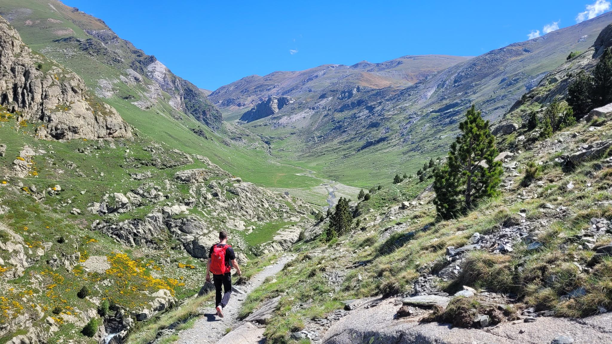
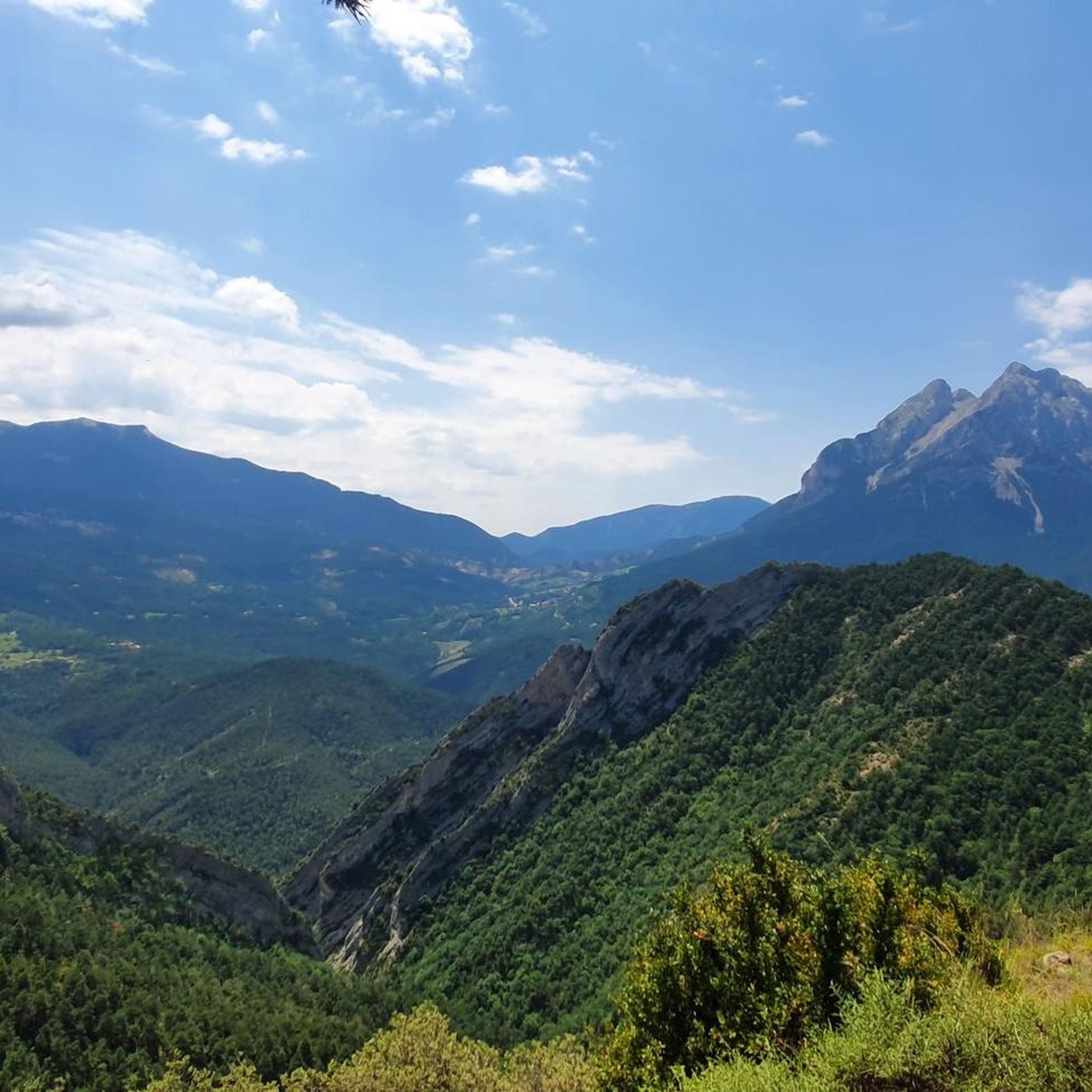
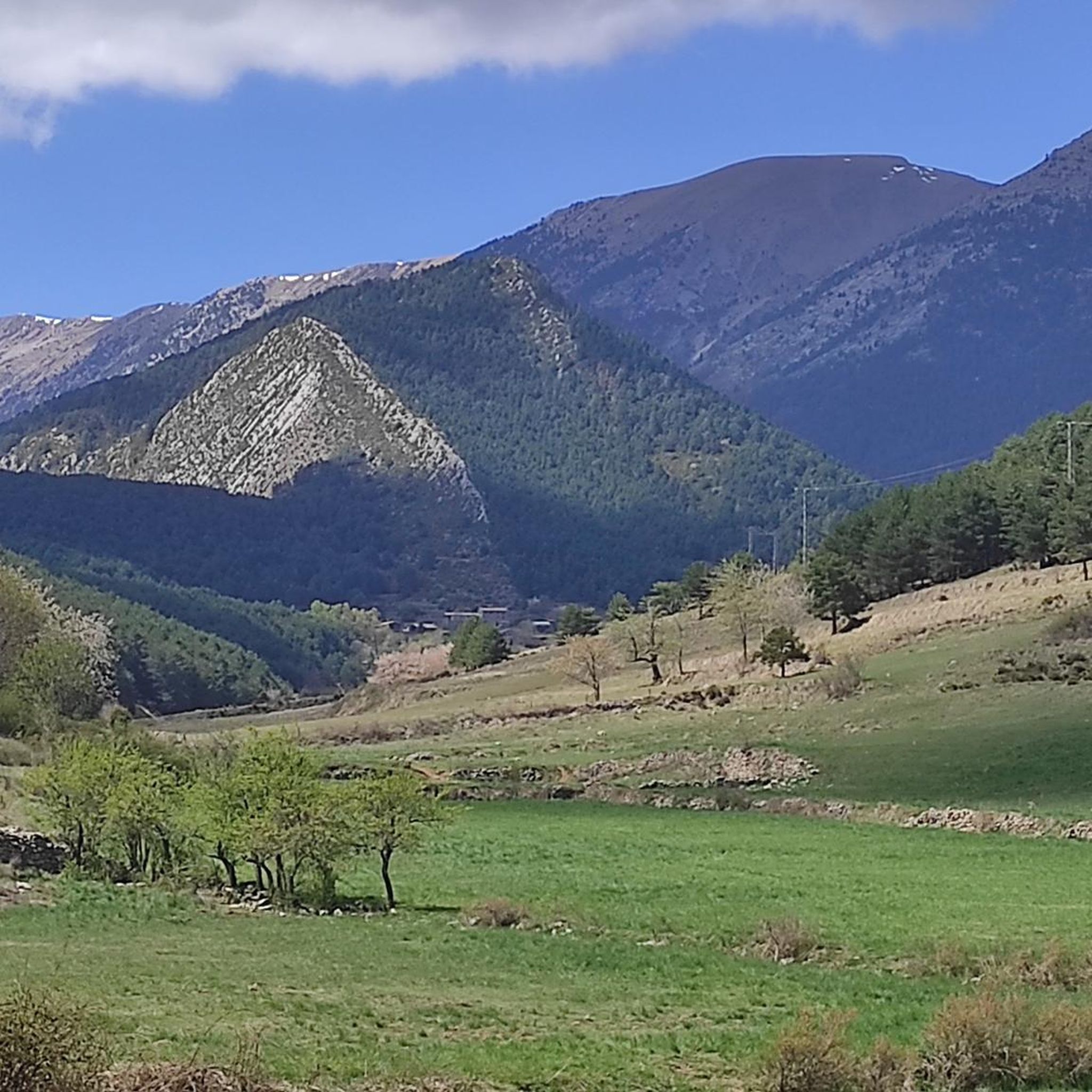
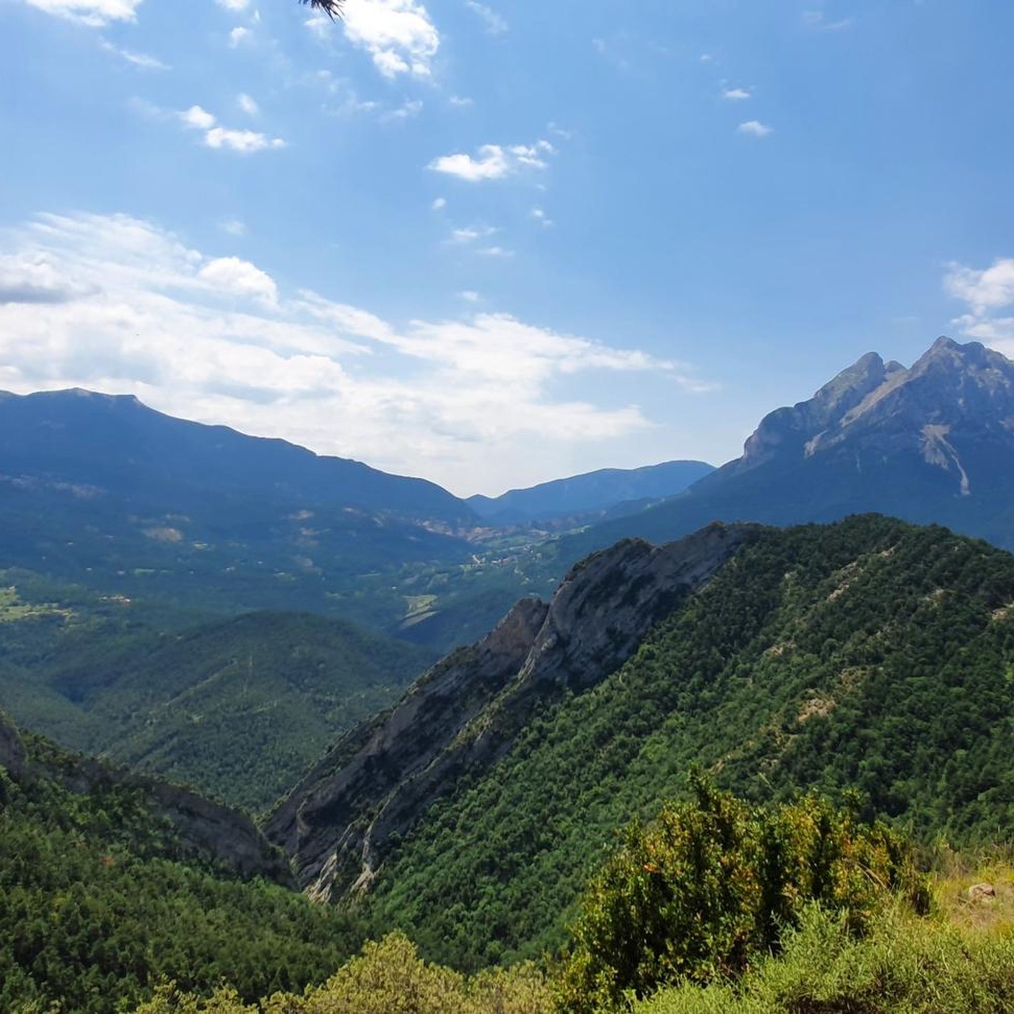
Mountain biking around Gisclareny provides access to a high-mountain environment within the Cadí-Moixeró Natural Park. The region is characterized by dense pine and oak forests, expansive alpine meadows, and dramatic rocky peaks, including views of the iconic Pedraforca mountain. Its varied topography features steep slopes and deep valleys, shaped by rivers like the Bastareny, creating a diverse landscape for mountain bike trails. This area offers an extensive network of trails, many of which are historic paths.
Best mountain bike trails…
Last updated: June 28, 2026
4.9
(7)
69
riders
32.5km
03:30
1,140m
1,130m
Hard mountain bike ride. Very good fitness required. Advanced riding skills necessary. Some portions of the route may require you to push your bike.
5.0
(1)
43
riders
32.5km
03:35
1,250m
1,240m
Hard mountain bike ride. Very good fitness required. Advanced riding skills necessary. Some portions of the route may require you to push your bike.

Sign up for free
4.5
(2)
82
riders
45.3km
04:48
1,420m
1,410m
Hard mountain bike ride. Very good fitness required. Advanced riding skills necessary. Some portions of the route may require you to push your bike.
5.0
(2)
12
riders
38.4km
04:17
1,380m
1,380m
Hard mountain bike ride. Very good fitness required. Advanced riding skills necessary. Some portions of the route may require you to push your bike.
5.0
(1)
25
riders
32.8km
03:23
960m
960m
Hard mountain bike ride. Very good fitness required. Advanced riding skills necessary. Some portions of the route may require you to push your bike.
Get access to more routes and recommendations from other explorers.
Sign up for free
Already have an account?
Our route recommendations are based on thousands of hikes, rides, and runs completed by other people on komoot.
Start today with a free account
Your next adventure awaits.
Login or Signup


Other adventures around Gisclareny

Tips from the Community

A charming corner at the bottom of the valley, surrounded by beech and fir forests that keep it cool until summer. The building, of medieval origin, stands in a peaceful spot, with Pedraforca watching from above. The place is perfect for resting or having a bite to eat at the spring before continuing the route. By mountain bike, the descent to the sanctuary is fast and rocky, with tight bends and shady sections that can be wet. Tip: watch your brakes and enjoy the silence — here you can only hear the water and the forest.
0
0
Ski lift of the Aransa Nordic ski resort which, out of season, serves as a good reference point for mountain bike and hiking routes. Located between pine forests and open meadows, it offers a peaceful atmosphere and good views towards Cadí. By bike, the access track is regular but with some sections of constant slope that make you sweat. Tip: if you continue up towards Pradell or Estanys de la Pera, regulate your effort well and take advantage of this point to drink and adjust the tire pressure before the more technical terrain.
0
0
High mountain crossing point with spectacular views over the Cadí and the Pedraforca massif. The pass marks the boundary between black pine forests and alpine meadows, and is an ideal place to catch your breath before tackling the final climb to the summit. On a mountain bike, the climb is tough and with rocky sections that may require pushing the bike at some points. Tip: slow down and save your energy for the last section; the reward is a panoramic view that will make you forget your tiredness.
0
0
The final ascent to Pedraforca from the Coll de les Bassotes, within the Cadí-Moixeró Natural Park, begins from the forest track that leaves the signposted car park at the Saldes descent and the Gresolet viewpoint. The path climbs steadily towards the meadows of Toixons and Socarrat, crosses the Prat Llong and the ridge of the Serra Pedregosa until reaching the Cortils gap, right next to the north wall of Pedraforca. The last section is demanding, with sections of loose stone, a steep slope and exposure to the wind. Good traction, physical preparation and a bike in good condition are required if you do it with an MTB or e-bike. It is a place that demands respect but rewards you with one of the most iconic views of the Catalan Pyrenees.
0
0

The gradient is impressive. It's worth it.
0
0

An incredible trail that runs alongside the GR107, leaving Les Bassotes and reaching the road down to Góson. It's a generally difficult trail, and at times very exposed and aerial. It also has very steep sections that descend through a forest filled with roots, rocks, and trees. If you choose to do this, you'll have to get off your bike several times; take it easy and enjoy it.
0
0
It is located at the bottom of a deep valley, dominated by the northern slope of Pedraforca, among flat pastures surrounded by forest and rocks, and very close to the Gresolet Forest. We also find the Sanctuary of Gresolet, which in the 13th century was already a center of important Marian devotion, and in the 14th century it was renovated under the patronage of the Barons of Pinós; there is evidence that there was already a priest there. The current building and the neighboring inn were built in the 17th century. It consists of a nave with side chapels, a square presbytery with the Virgin's alcove, and a choir stall at the foot of the church. The altarpiece was lost during the Civil War. Currently, the Virgin of Gresolet (13th century) is venerated in the Church of San Martín de Saldes. It is a polychrome wooden carving depicting the crowned Virgin. It can be accessed via a track.
1
0
From this pass, a rather technical trail leads to the village of Gósol. Getting here is quite difficult; it's a very long and arduous climb.
1
0
Frequently Asked Questions
How many mountain bike trails are available in Gisclareny?
Gisclareny offers an extensive network of over 110 mountain bike trails. These routes cater to various skill levels, ranging from moderate paths to demanding technical descents.
Are there mountain bike trails suitable for beginners in Gisclareny?
While Gisclareny is known for its challenging terrain, there are a few easier routes available. You can find 6 mountain bike trails rated as easy, and 44 as moderate, providing options for those looking for less demanding rides.
What kind of terrain can I expect on mountain bike trails around Gisclareny?
The terrain around Gisclareny is highly diverse, characterized by dense pine and oak forests, expansive alpine meadows, and dramatic rocky peaks. You'll encounter varied surfaces, from historic paths to steep slopes and deep valleys shaped by rivers like the Bastareny, all within the high-mountain environment of the Cadí-Moixeró Natural Park.
Are there any challenging mountain bike routes for experienced riders?
Yes, Gisclareny is an excellent destination for experienced mountain bikers, with 63 trails rated as difficult. Routes like Gresolet Sanctuary – Gresolet Viewpoint loop from Sant Sebastià del Sull offer challenging climbs and panoramic views, while Cingles de Vallcebre – Track to Vallcebre Road loop from Vallcebre navigates through varied terrain with significant elevation changes.
Can I find circular mountain bike routes in Gisclareny?
Many of the mountain bike routes in Gisclareny are designed as circular loops, allowing you to start and finish at the same point. For example, the Gresolet Sanctuary – El Collell Pass loop from Sant Sebastià del Sull is a 28.1-mile trail that takes you through high-mountain landscapes and dense forests.
What are some notable natural attractions or landmarks I might see while mountain biking?
While mountain biking in Gisclareny, you'll be surrounded by the stunning Cadí-Moixeró Natural Park. The iconic Pedraforca mountain is a prominent feature, offering spectacular views. You might also encounter deep valleys, pristine forests, and rivers like the Bastareny. Keep an eye out for local wildlife such as roe deer and vultures.
Are there mountain refuges accessible by bike for longer tours?
Yes, several mountain refuges serve as important waypoints for longer mountain biking tours. The Lluís Estasen Refuge at the foot of Pedraforca and the Niu de l'Àliga Refuge are notable examples. While some final accesses can be demanding, these refuges offer rest and accommodation options.
What do other mountain bikers say about the trails in Gisclareny?
The mountain bike trails in Gisclareny are highly rated by the komoot community, with an average score of 4.6 stars from over 170 reviews. Many riders praise the challenging climbs, the stunning panoramic views of the Cadí and Pedraforca massifs, and the immersive experience within the natural park's diverse landscapes.
Is Gisclareny a good destination for family mountain biking?
Gisclareny's terrain can be quite rugged, but there are some easier and moderate trails that might be suitable for families with older, more experienced children. For younger families or those new to mountain biking, it's advisable to carefully check the difficulty ratings and elevation profiles of the 6 easy and 44 moderate routes available.
What is the best time of year to go mountain biking in Gisclareny?
The best time to go mountain biking in Gisclareny is generally during the spring, summer, and early autumn months. The region is at high altitude, so winters can bring snow and colder temperatures, making many trails inaccessible or more challenging. Spring and autumn offer pleasant temperatures and vibrant natural scenery.
Are there options for parking near the mountain bike trails in Gisclareny?
Given Gisclareny's remote location within the Cadí-Moixeró Natural Park, parking is typically available in or near the small villages and trailheads. It's recommended to check specific route descriptions on komoot for details on designated parking areas at the start of each tour.
Can I reach the mountain bike trails in Gisclareny using public transport?
Accessing Gisclareny and its mountain bike trails primarily relies on private transport due to its remote location within a natural park. Public transport options to the immediate trailheads are limited. Planning your journey by car is generally the most practical way to reach the starting points of the routes.
Are there any specific routes that offer panoramic views?
Absolutely. Many routes in Gisclareny are known for their breathtaking vistas. The Gresolet Sanctuary – Gresolet Viewpoint loop from Sant Sebastià del Sull, for instance, offers panoramic views of the surrounding peaks. Additionally, routes leading to viewpoints like the Coll de la Bena provide stunning perspectives of the Cadí and Pedraforca massifs.
Most popular routes around Gisclareny
Most popular attractions around Gisclareny

Get inspired with the komoot mobile app


Explore more
Browse the best MTB trails in other regions.
