The best walks and hikes around Sant Salvador De Guardiola
4.5
(2546)
18,698
hikers
385
hikes
Hiking trails around Sant Salvador De Guardiola traverse a diverse landscape of forests, fields, and vineyards in the Bages comarca of Catalonia. The region, with an average altitude of 370 meters, offers varied terrain for outdoor activities. It is characterized by its proximity to the Llobregat basin and the dramatic Montserrat mountain, providing scenic views. Natural springs are also a feature of the area.
Best hiking trails around Sant Salvador De Guardiola
- The most popular hiking route is Hiking loop…
Last updated: October 18, 2026
4.4
(7)
62
hikers
5.22km
01:21
30m
30m
Easy hike. Great for any fitness level. Easily-accessible paths. Suitable for all skill levels.
4.0
(2)
36
hikers
9.25km
02:25
70m
70m
Moderate hike. Good fitness required. Easily-accessible paths. Suitable for all skill levels.

4.7
(3)
11
hikers
Moderate hike. Good fitness required. Easily-accessible paths. Suitable for all skill levels.
5.0
(1)
13
hikers
8.66km
02:22
130m
130m
Moderate hike. Good fitness required. Easily-accessible paths. Suitable for all skill levels.
10
hikers
10.4km
03:22
340m
340m
Hard hike. Good fitness required. Sure-footedness, sturdy shoes and alpine experience required.
Get access to more routes and recommendations from other explorers.
Already have an account?
Our route recommendations are based on thousands of hikes, rides, and runs completed by other people on komoot.
Start today with a free account
Your next adventure awaits.
Popular around Sant Salvador De Guardiola

Tips from the Community

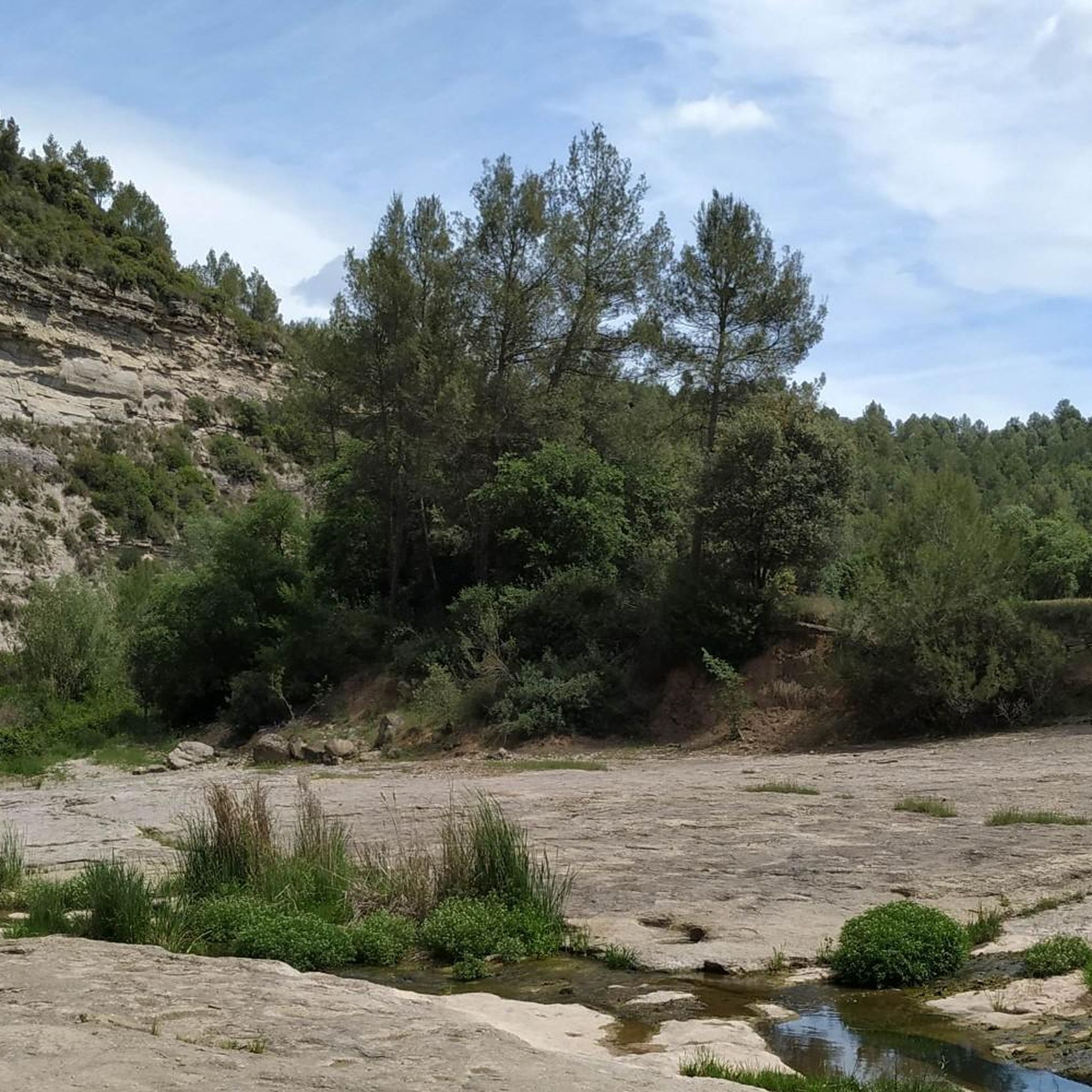
A carved fountain consisting of a semi-buried body framed by a large arch, which creates a small elliptical apse, at the midpoint of which is the fountain. The water falls, from a rectangular niche framed in another with a pointed arch, onto a circular sink with a base. On the side of the fountain there is a bench attached, running. The set is completed with a stone table in the center of the space. This is built with masonry and the ashlars are seen in its entire front part, and inside, up to half height, the curvilinear part of the chapel was plastered. There still remains, at the highest point of the arch, the part of a fastening element from which a chain hangs, and at an even higher point, crowning the set, there is a large piece of stone with the inscription "Girada 1923". Observations: The fountain is located in Monistrolet, in an artificial widening of the road and in a space formed from the fountain itself and small stone walls that follow the lateral profile of the work. It can be reached by the path that comes from Can Servitge passing through the deposits of Can Gallifa or Cisternes de Monistrolet (file 390) and the Font del Rector (file 391), crossing the Riera de Rajadell, or from Monistrolet, skirting Can Gallifa (file 98) along the path that surrounds it to the W., and passing through the Camp de la Girada, cross the Riera de Rajadell through a ford, and from there follow a path in a westerly direction. The fountain is located 700m. in a straight line to the SW of Can Gallifa. The name of the Girada is due to the curve that the Riera de Rajadell makes in this sector. Campaign masses have been celebrated at the site with the stone table as an altar. You can see that the beautiful vault of this fountain is in the shape of an ellipse. This design, apart from having an artistic motif, also gives it a surprising acoustic property. If we look for the two foci of this ellipse and place a person in the area near each of them, they will hear the other person's voice clearly amplified and with an enveloping effect. From an area close to the focus, such as the beginning of the stone benches, we can also hear the effect.
0
0

Lonely chapel in the Sierra de Montserrat
2
0

The church of Sant Esteve de Marganell has been documented since the year 1143, although it is likely that it already existed in the 11th century, since Marganell appears in the records as early as the year 924. It is a construction of Romanesque origin, although it has undergone various restorations. It has a single nave, with a single apse located to the east, without any type of decoration and without openings. The bell tower is modern and in good condition, unlike the rest of the building, since the nave is sunken and in a state of ruin.
1
0
Sant Jaume de Castellbell is a Romanesque hermitage located near the center of Sant Cristòfol de Castellbell, in the municipality of Castellbell i el Vilar, Catalan region of Bages. The hermitage was under the domain of Castellbell Castle, being mentioned already in the year 924, although under the name of Marganell, as it is located next to the stream of the same name. It has a single rectangular nave with a barrel vault topped by a semicircular apse towards the east, covered with a stone slab roof. Damaged during the civil war, it was restored in 1957 and currently a couple of masses are celebrated a year coinciding with the festivities of Sant Vicenç (January 22) and Sant Jaume (July 25), as well as weddings and communions.
2
0

Very cute after it rained
1
0

Religious sanctuary located in the municipality of Marganell (Bages) included in the Inventory of the Architectural Heritage of Catalonia. It is a Romanesque construction that preserves certain features of the time although it has been quite reformed.
1
0

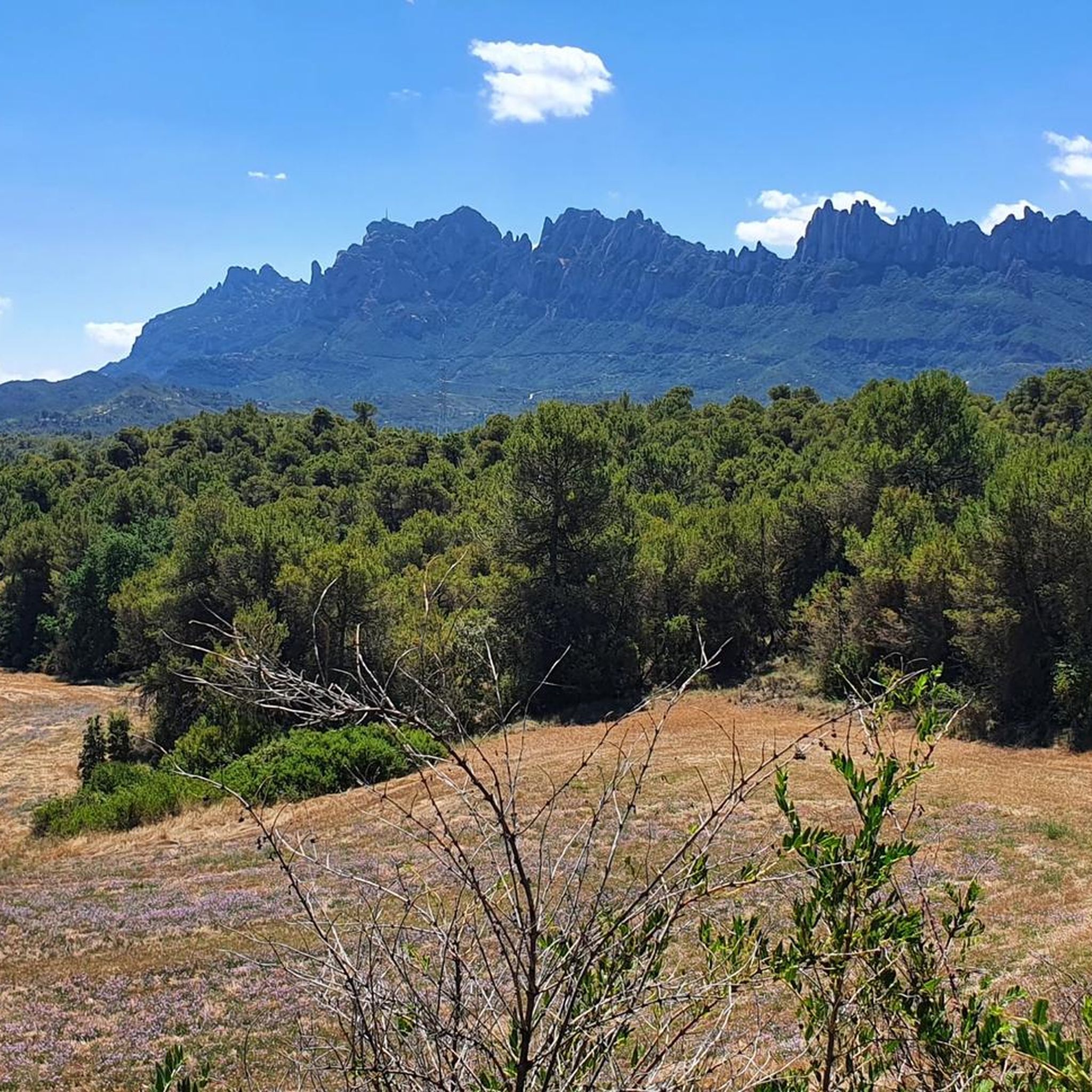
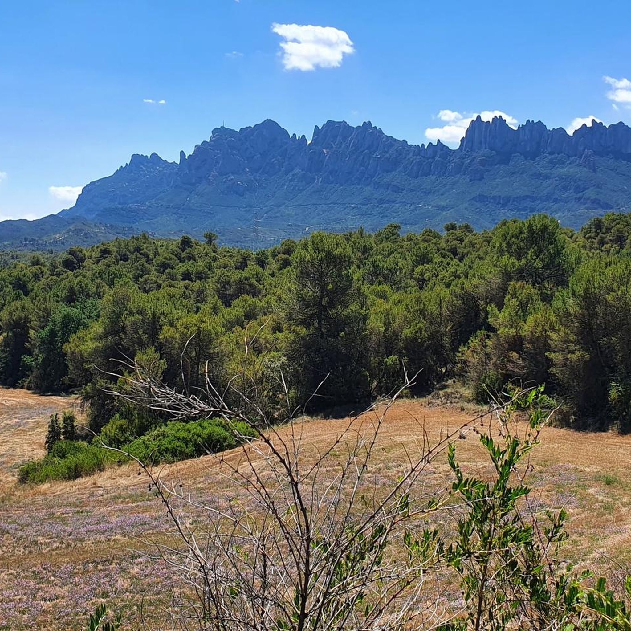
Nice view of the mountains. The back of the bench represents the silhouette of Montserrat.
1
0

Nice place and views of Montserrat
0
0
Frequently Asked Questions
How many hiking trails are available in Sant Salvador De Guardiola?
Sant Salvador De Guardiola offers a wide selection of hiking routes, with over 340 trails recorded on komoot. These range from easy strolls to more challenging excursions, ensuring options for various skill levels.
What types of landscapes can I expect to see while hiking here?
The hiking trails around Sant Salvador De Guardiola traverse a diverse landscape of forests, fields, and vineyards. You'll also find stunning views of the iconic Montserrat mountain, especially from higher points, and the region is known for its natural springs.
Are there easy hiking routes suitable for beginners or families?
Yes, there are plenty of easy routes. Approximately 78 of the trails are rated as easy, perfect for beginners or families looking for a relaxed walk. An example is the Hiking loop from Nou Congost, which is 5.2 km long and takes about 1 hour 21 minutes.
What are some notable attractions or landmarks I can see on a hike?
The region is rich in natural and historical points of interest. You can explore various caves like Font de l'Esllavissada or Cova de l'Arcada. Additionally, the trails often connect historical hermitages, towers, and farmhouses, providing cultural insights. The views of Montserrat mountain are a constant highlight.
Are there any circular hiking routes in Sant Salvador De Guardiola?
Yes, many of the routes in Sant Salvador De Guardiola are circular, allowing you to start and end at the same point. For instance, the Font de la Girada loop from Nou Congost is a moderate 9.4 km circular path offering views of fields and forests.
What do other hikers say about the trails in Sant Salvador De Guardiola?
The trails in Sant Salvador De Guardiola are highly rated by the komoot community, with an average score of 4.6 stars from over 2,000 reviews. Hikers often praise the diverse mix of forests, vineyards, and the stunning views of the Montserrat massif.
Can I find routes that offer views of Montserrat mountain?
Absolutely. Sant Salvador De Guardiola is ideally situated to offer spectacular views of Montserrat. Many routes, such as the Sant Cristòfol de Castellbell – Bench With View of Montserrat loop from Marganell, are specifically known for their vistas towards this iconic landmark.
Are there longer, more challenging hikes available?
Yes, for those seeking a greater challenge, there are 49 difficult routes and 213 moderate routes. A moderate option is the Castellfollit del Boix – Cogulló of Can Torra loop from Castellfollit del Boix, which covers 11.7 km and involves significant elevation changes.
What is the best time of year to go hiking in this region?
Given the diverse landscape of forests, fields, and vineyards, hiking is enjoyable across many seasons. Spring and autumn offer pleasant temperatures and vibrant scenery. Even in winter, the average altitude of 370 meters means many trails remain accessible, though checking local conditions is always advisable.
Are there any mountain passes or viewpoints to explore?
Yes, the area features several mountain passes that offer rewarding views. Notable passes include Coll de Can Maçana and Portell de Migdia (1,029 m), which provide excellent vantage points over the surrounding terrain and Montserrat.
Are there any routes that explore the agricultural past of the region?
Many routes in Sant Salvador De Guardiola pass through cultivated land and vineyards, reflecting the area's agricultural heritage. Local tourism also offers guided activities that delve into the agricultural past and local customs, providing a deeper understanding of rural life.
Most popular routes around Sant Salvador De Guardiola
Most popular attractions around Sant Salvador De Guardiola

Get inspired with the komoot mobile app


Explore more
Browse the best Hikes in other regions.
