The best walks and hikes around Velilla De Jiloca
4.0
(15)
113
hikers
6
hikes
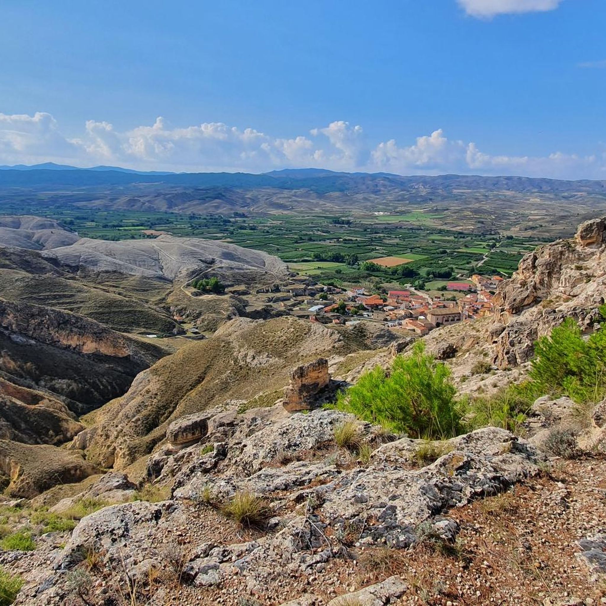
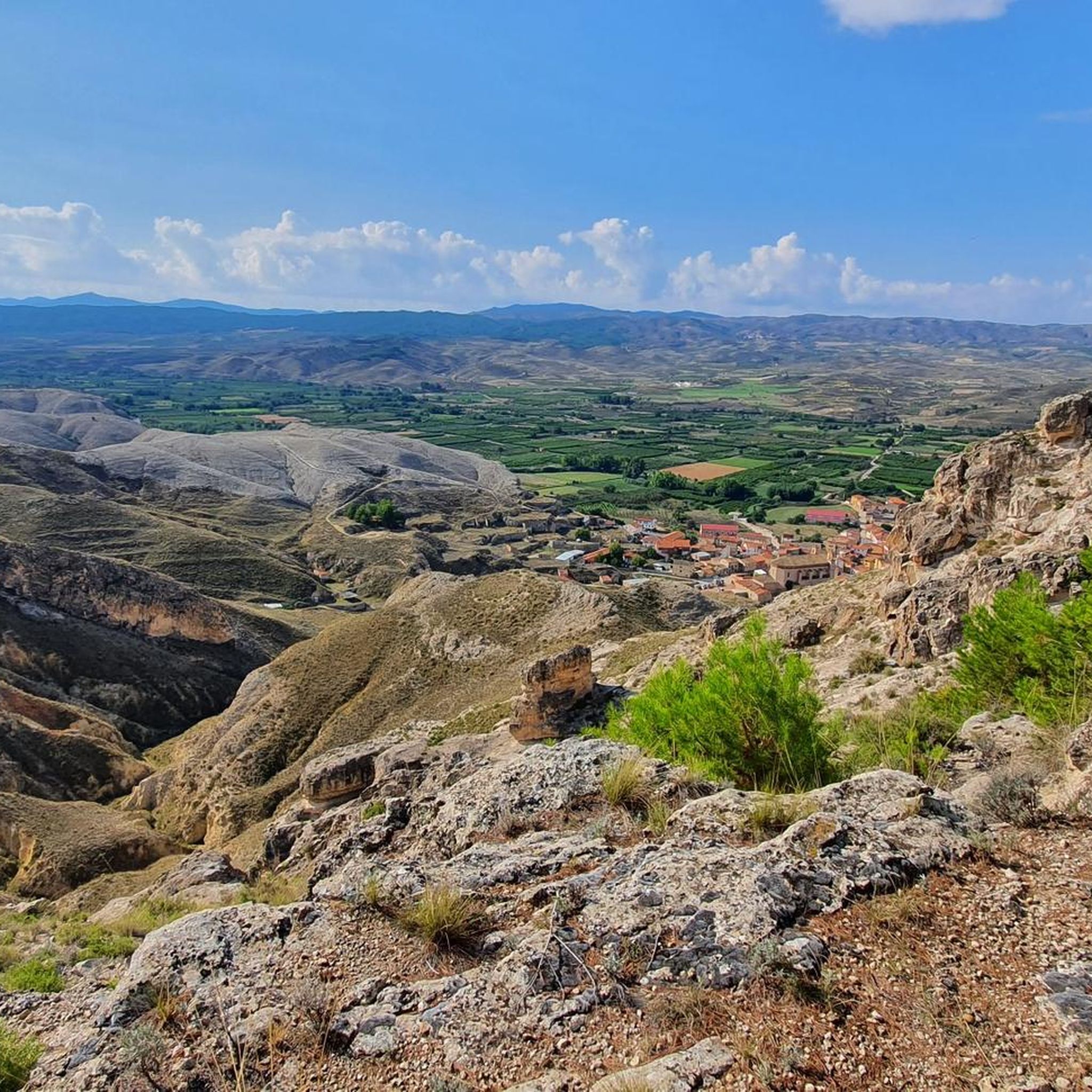
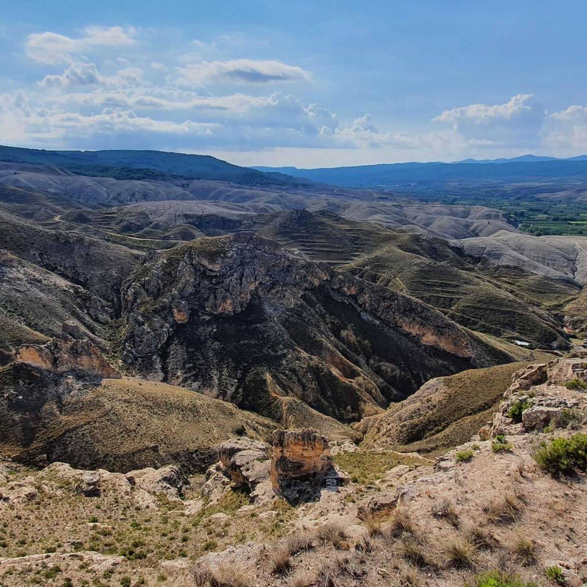
Hiking around Velilla De Jiloca offers diverse landscapes within the Jiloca river valley, part of the Calatayud-Daroca depression of the Iberian System. The terrain varies from an altitude of 597 meters in the village to around 870 meters to the east, providing varied topography. Hikers can explore areas characterized by fruit orchards, especially vibrant in spring, and transition into a steppe-like environment beyond the river. The Jiloca River itself is a central feature, offering riverside paths and contributing to the…
Last updated: July 1, 2026
5
hikers
12.0km
03:16
180m
180m
Moderate hike. Good fitness required. Easily-accessible paths. Suitable for all skill levels.
5
hikers
9.15km
02:22
50m
50m
Moderate hike. Good fitness required. Easily-accessible paths. Suitable for all skill levels.

Sign up for free
3.0
(1)
4
hikers
5.36km
01:27
70m
70m
Easy hike. Great for any fitness level. Easily-accessible paths. Suitable for all skill levels.
4
hikers
7.35km
01:52
20m
20m
Easy hike. Great for any fitness level. Easily-accessible paths. Suitable for all skill levels.
5
hikers
16.6km
05:25
750m
750m
Hard hike. Very good fitness required. Easily-accessible paths. Suitable for all skill levels.
Our route recommendations are based on thousands of hikes, rides, and runs completed by other people on komoot.
Start today with a free account
Your next adventure awaits.
Login or Signup


Tips from the Community

It is the highest point for many kilometers in the surrounding area (next to Pico de la Nevera, which cannot be accessed because it is a military installation). In summer there are fire surveillance personnel because it is a place with impressive views.
0
0

Beautiful basilica in the city of Calatayud where the interior stands out with an altar and impressive baroque wooden altarpieces. It is the most important basilica of the order of the Holy Sepulcher of Jerusalem in Spain.
1
0
We are at the Pico del Rayo, the highest peak of the Sierra de Victor at 1427 masl with magnificent views of the Iberian System and Moncayo.
0
0

Maluenda is a small town in the province of Zaragoza on the banks of the Jiloca River. The ruins of an Arab fortress from the 9th century stand out, as well as the Mudejar tower of the church of Santa María and the Albarrana tower. The town also has a couple of bars where you can taste local products.
2
0

The peak of Rayo with 1,427 meters of altitude, is the highest peak of the Sierra Vicor. It is the second highest peak in the Iberian System of Zaragoza after Moncayo.
10
0

The landmark of the city of Calatayud, which was under Muslim rule until the 12th century, are clearly the two towers of the churches of Santa María la Mayor and San Andrés, which together form the unmistakable silhouette of the city, especially beautiful at sunset. Many buildings are in the Mudejar architectural style, declared a World Heritage Site.
1
0
Frequently Asked Questions
What types of landscapes can I expect to see while hiking around Velilla De Jiloca?
Hiking around Velilla De Jiloca offers a diverse experience, from the picturesque Jiloca river valley to expansive fruit orchards, which are particularly vibrant in spring. Beyond the valley, the terrain transitions into a distinct steppe-like environment, providing varied topography and panoramic views.
Are there any easy hiking trails suitable for beginners or families in Velilla De Jiloca?
Yes, there are routes suitable for easier walks. For example, the Castillo de Doña Martina loop from Calatayud is rated as easy, covering 3.0 miles (4.8 km) and typically taking about 1 hour 17 minutes. Another easy option is the Estanque loop from Calatayud, which is 7.2 miles (7.2 km) long.
Are there any challenging hikes for experienced trekkers in the area?
For those seeking a more challenging experience, the region offers routes with significant elevation gain. The Pico del Rayo loop from Sediles is a difficult 10.3 miles (16.6 km) trail with over 750 meters of ascent, providing a strenuous workout and rewarding views.
What is the best time of year to go hiking in Velilla De Jiloca?
Spring is an excellent time to visit, as the fruit orchards, especially almond trees, blossom, creating a colorful and aromatic landscape. The Jiloca river valley offers pleasant conditions for hiking throughout much of the year, but spring provides a particularly scenic experience.
Are there any circular hiking routes available?
Yes, many of the trails around Velilla De Jiloca are designed as loops. Examples include the Calatayud loop from Calatayud, a moderate 5.1 miles (8.2 km) route, and the Castillo de Ayud – Calatayud loop from Calatayud, which is a moderate 7.8 miles (12.5 km) path.
What historical or cultural attractions can be explored during a hike?
Beyond the natural beauty, Velilla de Jiloca itself offers cultural points of interest such as the Mudejar tower of the Church of San Juan Bautista and stately homes. The area is also part of the historic Camino del Cid, a well-known cultural and tourist route.
Are there any notable landmarks or points of interest near the hiking trails?
Yes, several interesting places are nearby. You can explore the town of Calatayud, visit the Maluenda castle, or see the Church of Our Lady of the Assumption of Munébrega. The nearby Descent of the Barranco de San Blas de Miedes also offers a unique natural feature.
What do other hikers say about the trails in Velilla De Jiloca?
The routes in Velilla De Jiloca are rated by the komoot community with an average score of 3.5 stars from 2 reviews. Over 60 hikers have used komoot to explore the varied terrain, often praising the scenic river valley and the peaceful atmosphere.
Are there opportunities for long-distance hiking in the Velilla De Jiloca area?
Yes, Velilla de Jiloca is integrated into the Camino del Cid, a significant long-distance cultural and tourist route. Additionally, the broader Comarca de Calatayud features the GR 24, known as the Jalón and Jiloca Trail, which highlights landscapes of water and rock, offering extended hiking possibilities.
Are there any hikes that offer good viewpoints of the valley?
Many local trails crisscross the municipal area, guiding hikers through orchards and alongside the Jiloca River, and often lead to viewpoints offering expansive vistas of the valley and the surrounding steppe-like environment.
Is there public transport available to reach the hiking trailheads?
While specific public transport details to individual trailheads are not provided, Velilla de Jiloca is a municipality within the province of Zaragoza, and regional bus services typically connect such towns. It is advisable to check local transport schedules for connections to the starting points of your chosen hikes.
Where can I find parking for hiking trails in Velilla De Jiloca?
As a rural municipality, parking is generally available within Velilla de Jiloca itself, and often near the starting points of local trails. For routes originating from nearby towns like Calatayud, designated parking areas are usually present within the town centers or at popular trail access points.
Most popular routes around Velilla De Jiloca
Most popular attractions around Velilla De Jiloca

Get inspired with the komoot mobile app


Explore more
Browse the best Hikes in other regions.
